



Pirttijärvi circuit 32 km, Vuokatti - Sotkamo

Úroveň náročnosti: 2
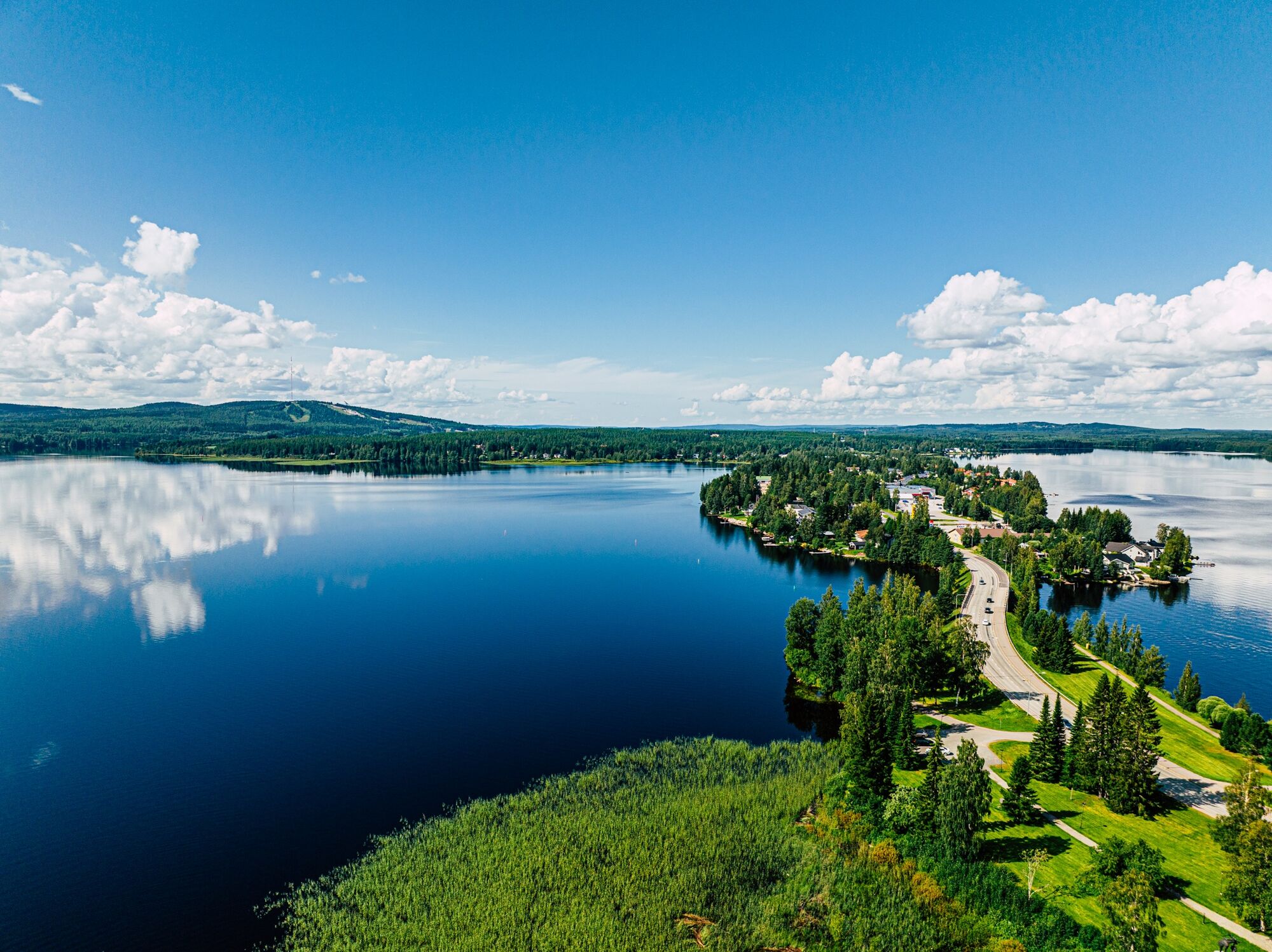
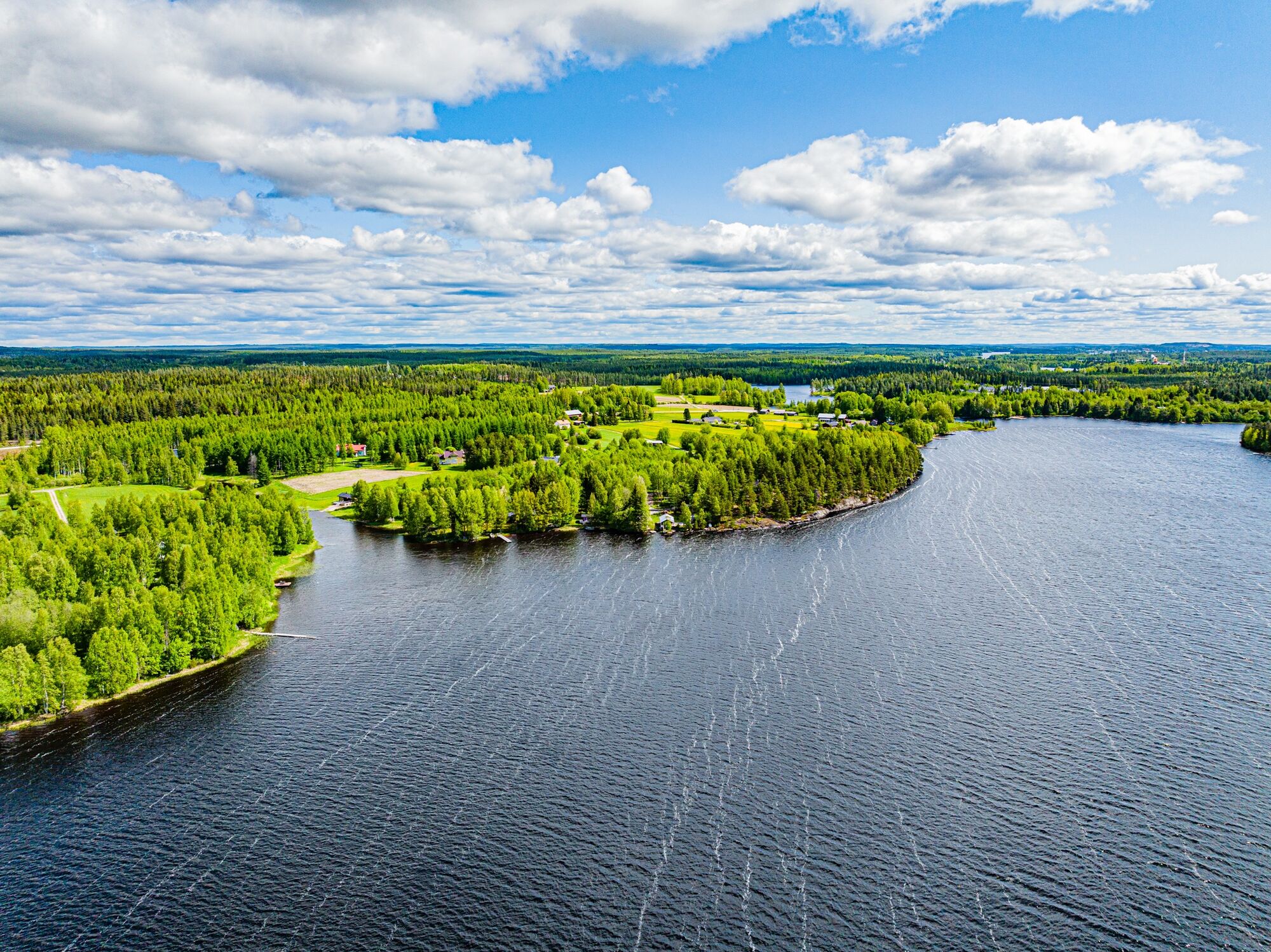
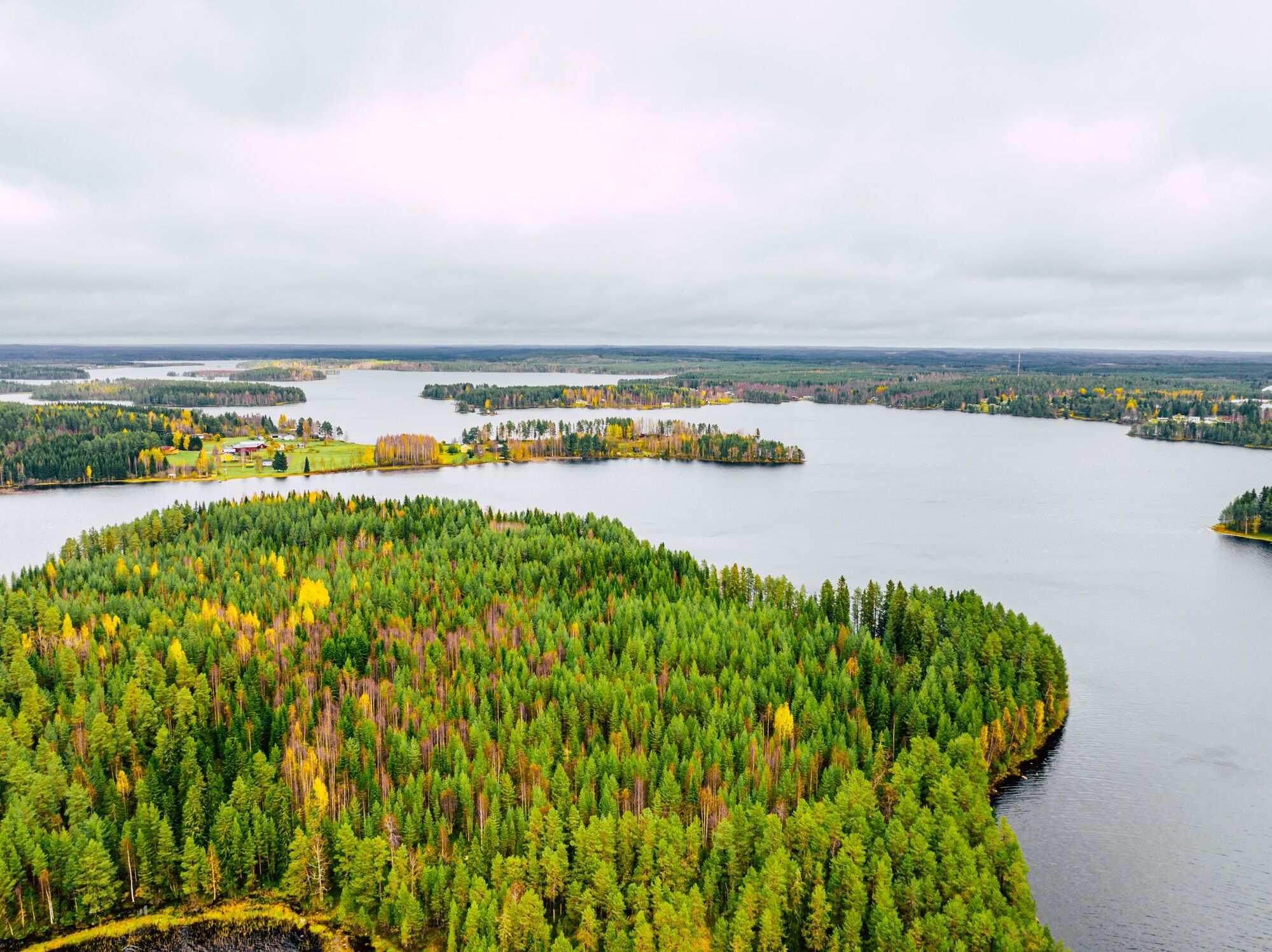
Pirttijärvi is one of the lakes bordering the Sotkamo central urban area. People have lived on the shores of this lake since the Stone Age.
The Pirttijärvi circuit is a leisurely day cycling route. The...
Pirttijärvi is one of the lakes bordering the Sotkamo central urban area. People have lived on the shores of this lake since the Stone Age.
The Pirttijärvi circuit is a leisurely day cycling route. The starting point for this circular route is marked as Vuokatti Sports Institute, but you can start the route anywhere. The direction described is clockwise because that way, the cafés and other services of Sotkamo center come at a convenient point in the route.
Half of the route cycles through rural scenery, and half through urban areas. The route initially heads toward Naapurinvaaran. After Tikkalansalmi, it turns onto a gravel road leading through Pekkilänkylä to Kokkovirta. From there, the route continues through Kaitainsalmi and Sotkamo center and back to Vuokatti.
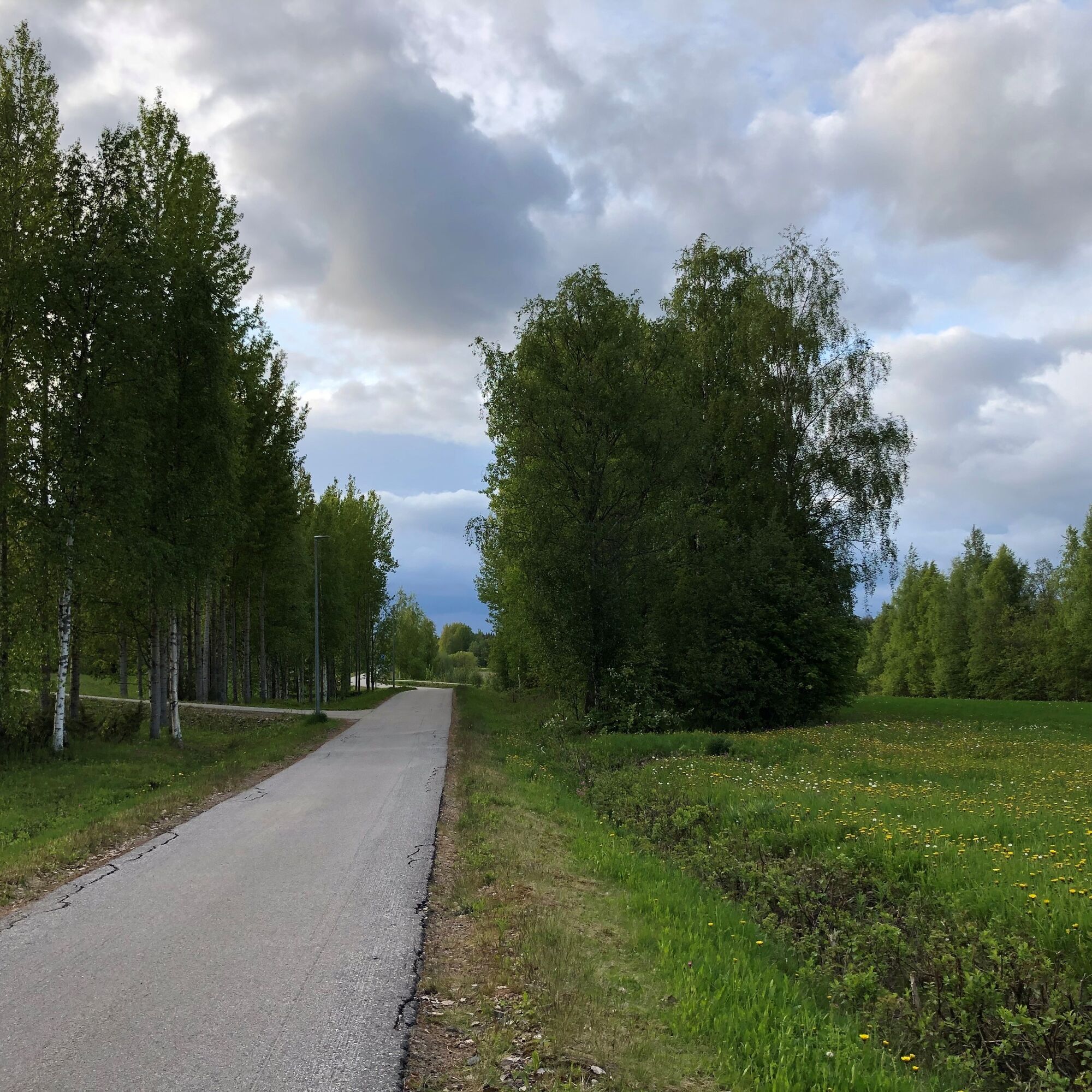
About one-third is on gravel roads, about 5 km along main roads, and the rest on cycle paths. Cycling leisurely with breaks, allow 3–4 hours for the trip.


You can join the circular route from any point, and it can be ridden both clockwise and counterclockwise. This route description starts from the Sports Institute yard and proceeds clockwise.
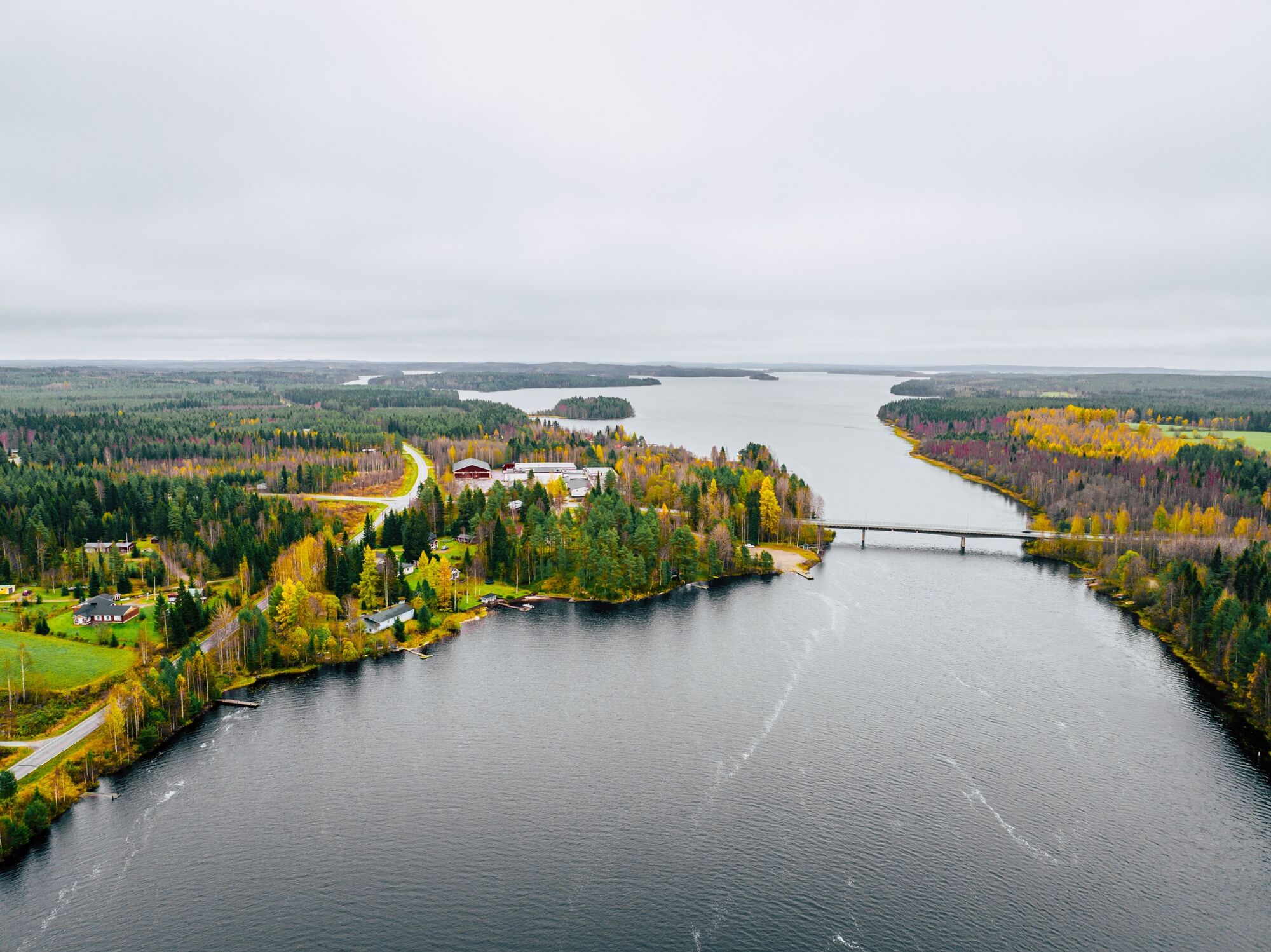
At the beginning of the Pirttijärvi circuit, head west on Vuokatintie and turn onto Kuikkalammentie (road 8991) from the Kattikeskus traffic light intersection. After Vuokatti School, the route turns onto Pohjavaarantie, heading west. From the intersection with Katinkullantie (Vuokatti S-market), continue west along the pedestrian and bicycle path along Pohjavaarantie. Immediately after the bridge over the swift Tenetinvirta, the route turns onto the gravel Pekkiläntie (sign: Pekkilä 4). After a bit over two kilometers, the road forks. Pekkiläntie continues to the right over the railway. After another two kilometers, just after crossing a small river, the road forks again, and Pekkiläntie continues still to the right. The next fork is after three kilometers, where the route turns right onto the gravel Hyttiläntie. After just over a kilometer, you reach Kaitainsalmentie, which is paved. The route turns right and continues along the shoulder of Kaitainsalmentie for over 5 km (sign: Kaitainsalmi 5). Midway through Kaitainsalmentie, the route crosses the Kusia River, known for canoeing and fishing. On the northern side of the road, you can see a small hydroelectric plant at the rapids.
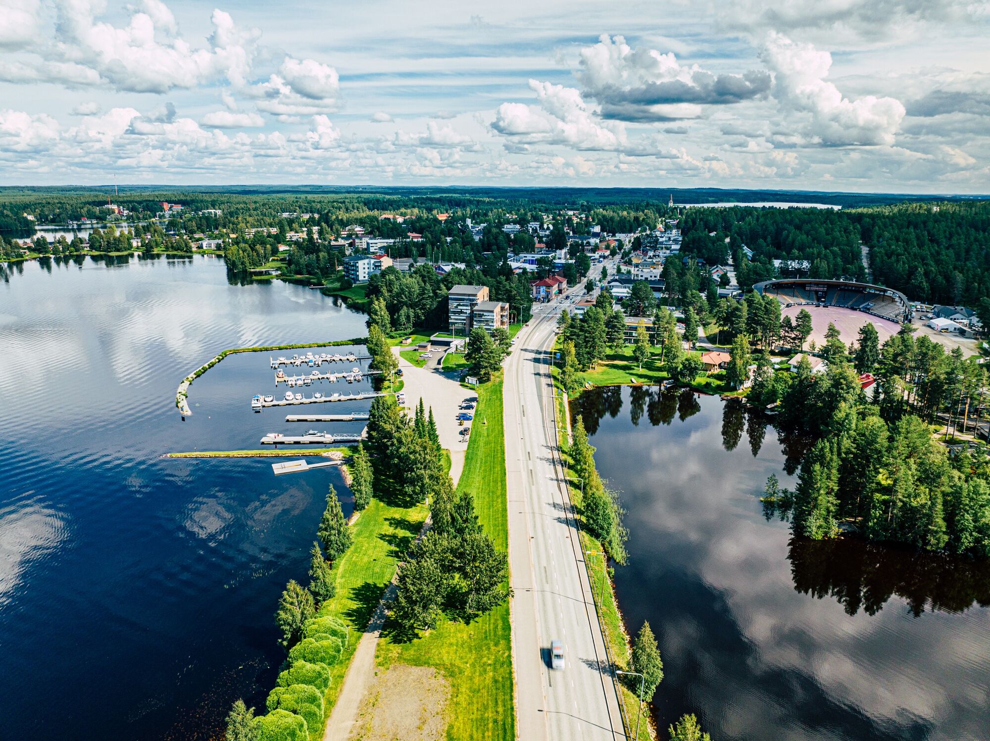
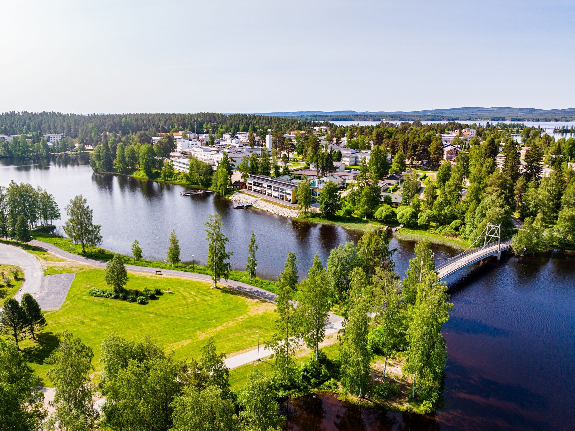
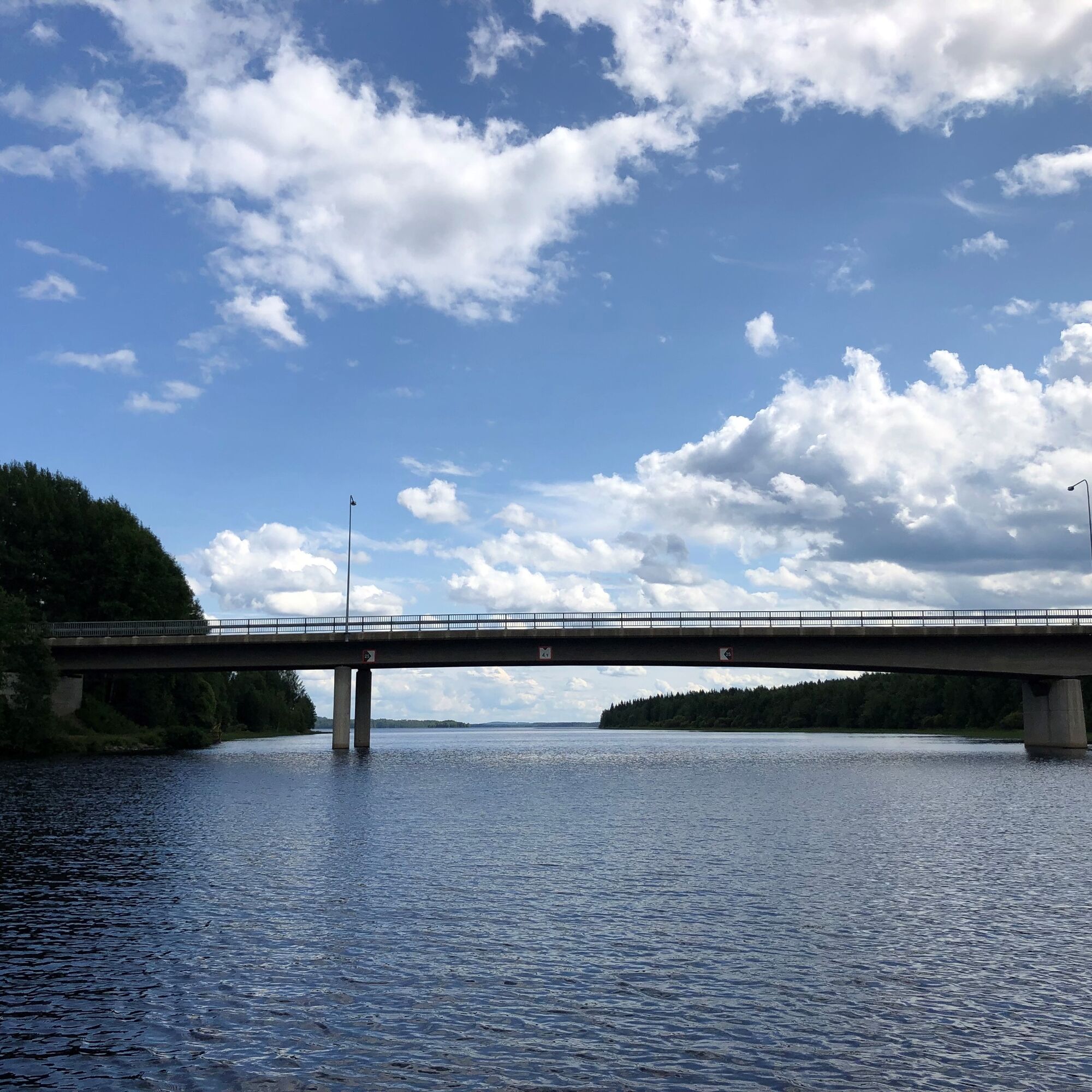
From Kaitainsalmi, the route turns right onto the pedestrian and bicycle path alongside Ristijärventie (sign: Sotkamo 5). Shortly after the intersection, you will see beautiful views from the Kaitainsalmi bridge. Before the bridge, a road leads down to a pier on the shore of the strait, which is a nice rest spot. After three kilometers, the route turns onto the gravel Jataniementie (sign: Jataniemi 2) (alternatively, you can cycle directly to Sotkamo center following pedestrian and bicycle signs). Cycle 1.7 km on Jataniementie, then turn left onto Salmelantie along the shore of Pirttijärvi. About a kilometer later, the route shifts from the roadside to a pedestrian and bicycle path. Follow Salmelantie for about 1.6 km to Salmela School. The nearby sports facilities at the school are available to cyclists (including frisbee golf and a large playground). At the school, the route turns right onto the Siltapolku pedestrian and bicycle path and the suspension bridge toward Sotkamo center. After the bridge, immediately turn right and you arrive at the end of Akkoniementie. Cycle along the pedestrian and bicycle path of this Sotkamo town street to its other end. Of course, there are many shops, cafés, eateries, and cultural offerings in the town center where you can stop. At the end of Akkoniementie, turn right toward Vuokatti.
After Hirvensaari and Hirvenniemi, the route turns toward Leivolankylä through an underpass. Follow Alkulantie to the Leivolankylä school area, then turn right onto Haapalanlahdentie. After the Haapala brewery restaurant, turn right onto Nurmestie and very soon left onto Vuokatinhovintie, which leads back to the Sports Institute.
ROUTE: Vuokatintie 1.1 km – Kuikkalammentie 1 km – Pohjavaarantie 2.2 km – Pekkiläntie 7.1 km – Hyttisentie 1.3 km – Kaitainsalmentie 5.2 km – Ristijärventie 3 km – Jataniementie 1.7 km – Salmelantie 1.6 km – Siltapolku 0.5 km – Akkoniementie 0.8 km – Kainuuntie 2 km - Alkulantie 0.4 km - Haapalanlahdentie 2.1 km - Nurmestie 0.5 km - Vuokatinhovintie 1.4 km
A geared bike is recommended but not necessary due to a few hills and the length of the route. Because about one-third of the route is on gravel roads, the route is not suitable for narrow-tyred road bikes. It is also advisable to bring at least some drinking water.
There are no separate pedestrian and bicycle paths on the gravel road sections (Pekkiläntie and Haapalanlahdentie) or on Kaitainsalmentie.
The route is not signposted in the terrain, so when cycling, pay attention to pedestrian, bicycle, and car traffic signs.
Follow the driving signs to Vuokatti Sports Institute.
The local bus SotKatti runs via the Sports Institute.
There is free parking available at Vuokatti Arena.
2
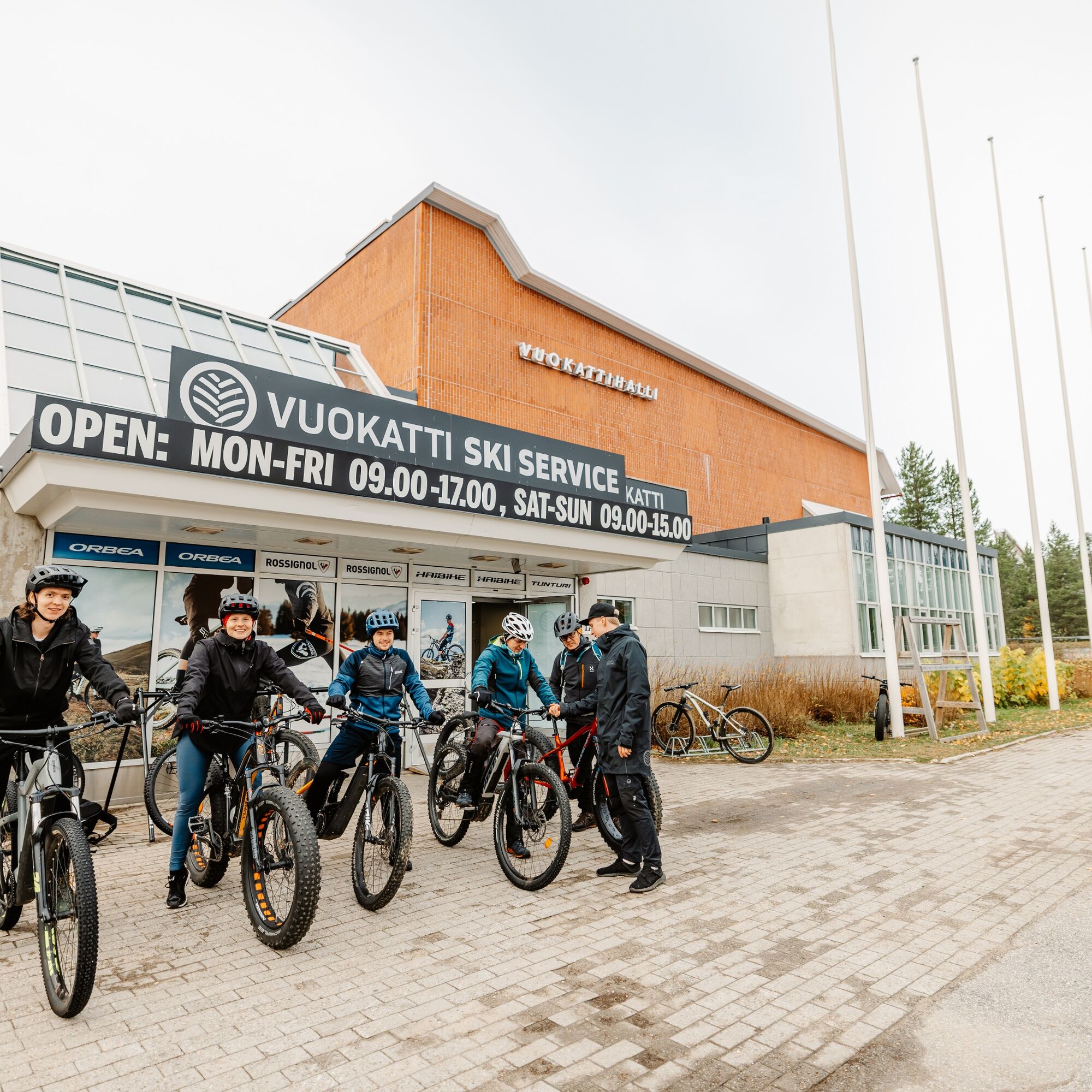
Bike rental: https://vuokattiskiservice.fi/
It is possible to combine the route with the Naapurinvaaran scenic route, but note that a bigger uphill climb lies ahead then.
Obľúbené výlety v okolí
-
5,0
Kettumäki route 10 km, Vuokatti
strednáMountainbike 9,93 km -
Lampipolku day hiking route 6 km, Vuokatti
svetloNordic Walking 5,99 km -
Eino Leino trail 7 km, Vuokatti
ťažkéTuristika 7,41 km -
UKK trail from Rönkkö to Sports Institute 12 km, Vuokatti
ťažkéTuristika 11,9 km -
Sapporo path 10 km, Vuokatti
ťažkéTuristika 9,84 km -
Paddling around Sapsojärvi, 16 km, Sotkamo - Vuokatti
strednáKajak / Kanu 16,4 km -
Multi-use trail to Kaarreniemi lean-to 5km, demanding, accessible, Vuokatti
svetloZimná turistika 5 km -
Hiukka illuminated Nordic walking route 5 km, Sotkamo - Vuokatti
svetloNordic Walking 4,95 km -
Paddling the waves of Kiantajärvi, 12 km, Sotkamo - Vuokatti
strednáKajak / Kanu 11,9 km -
Challenging 18 km mountain biking route at Ohravaara, Vuokatti
strednáMountainbike 18,1 km
Turistika a stopovanie


Nenechajte si ujsť ponuky a inšpiráciu na ďalšiu dovolenku
Vaša e-mailová adresa bol pridaný do poštového zoznamu.


