





Hämeenlinna Aulanko hiking route, easy

Aulanko's easy, 2.8 km long blue route runs through the Aulanko nature reserve and circles the area's main sights. The route starts at Aulanko Ulkoilumaja to the Ruusulaakso pavilion, from where it continues...
Aulanko's easy, 2.8 km long blue route runs through the Aulanko nature reserve and circles the area's main sights. The route starts at Aulanko Ulkoilumaja to the Ruusulaakso pavilion, from where it continues along the shore of Metsälampi.
If the hiker wishes, it is possible to detour from Ruusulaakso pavilion to Joutsenlampi to observe birds or just sit for a moment to admire the beautiful pond. There is also a kiosk at Joutsenlampi serving hikers during the summer.
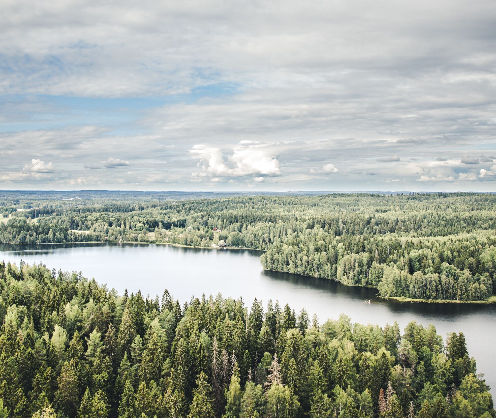
From Metsälampi the route continues into the shade of the park forest, where you may notice that you are surrounded for a moment by magnificent pines. The trail rises to Aulanko Tower Café and Aulanko observation tower, both open during the summer. From the observation tower, magnificent views open to the surrounding terrain. You can also admire the scenery from the viewing platform near the observation tower. The route returns downhill from the observation tower back to Aulanko Ulkoilumaja.


Waterproof shoes are useful in the rain, otherwise normal outdoor gear is sufficient for the route. In winter, high-cut boots with grippy soles are the recommended choice for the trail.
Walking the easy route takes about an hour. Most of the route runs either on the road or on a gravel path, which is not slippery even when it rains. The section at the southern end of the route (Metsälampi – Aulanko observation tower) is an unpaved forest path and may be muddy and/or slippery in rainy weather.
Emergency number 112.
The route starts at Aulanko Ulkoilumaja, where there is a spacious, free parking area. There is signage to Aulanko from the Helsinki–Tampere motorway (main road 3) and the Turku–Lahti road (main road 10).
From Hämeenlinna railway station to the Ulkoilumaja by car (taxi stand in front of the railway station) is 5.3 km and 4.7 km on foot. There is also a city bus (line number 2) departing from the railway station, which goes to Hotel Aulanko. From Hotel Aulanko it is about 1.5 km to the starting point, Aulanko Ulkoilumaja.
At the starting point near Aulanko Ulkoilumaja there is a campfire hut. In summer, both the Tower Café and the Joutsenlampi kiosk are open. At the Ulkoilumaja, swimming is possible year-round, and there is a sauna and sports equipment for rent. The highlight of the route is the Aulanko observation tower, offering magnificent views over the Häme landscape. Access to the observation tower is free and it is open daily from 8 am to 7 pm during the summer. Throughout the Aulanko area, other recreational opportunities besides hiking include cycling, canoeing, swimming, and horseback riding. In winter there are ski trails of various lengths. Near Hotel Aulanko, it is possible to play tennis, minigolf, and golf on two different courses. The area also features a spa and a climbing park.
In the Aulanko nature reserve it is allowed to move on foot and skis, by car on the ring road during the summer between 8 am and 11 pm, and to pick edible mushrooms and forest berries. Mountain biking is allowed according to rules only on the paved ring road and on gravel-surfaced roads and trails designated in the rules. Horseback riding is only allowed on specifically designated routes.
The DigiTrail mobile app (Android) provides interesting information about the area's sights, history, and services.
Obľúbené výlety v okolí
-
Winter biking route, Hattula
strednáMountainbike 13,6 km -
Lake Aulanko trail 6 km
strednáTematická trasa 5,93 km -
Hämeen Ilvesreitti Hattula 37.7 km
strednáMountainbike 37,7 km -
Aulanko mountain bike route
strednáMountainbike 13,8 km -
Hämeenlinna, Aulanko trail, intermediate
Turistika 5,94 km -
Little Lynx route Hattula
strednáTuristika 2,09 km -
Hiking and trekking route Hämeen Ilvesreitti Hattula
ťažkéTuristika 34,7 km -
Story Path
svetloTematická trasa 0,60 km -
Jaakon rantapolku vaativa esteetön reitti
svetloTematická trasa 0,68 km -
Heinisuo loop 2.6 km
svetloTuristika 2,63 km
Turistika a stopovanie


Nenechajte si ujsť ponuky a inšpiráciu na ďalšiu dovolenku
Vaša e-mailová adresa bol pridaný do poštového zoznamu.





