






Red Cliffs

This route is put together in order to offer a second choice in the area to the riders who want to train on DH tracks of extreme difficulty. The start point of the track is on the Provincial road that...
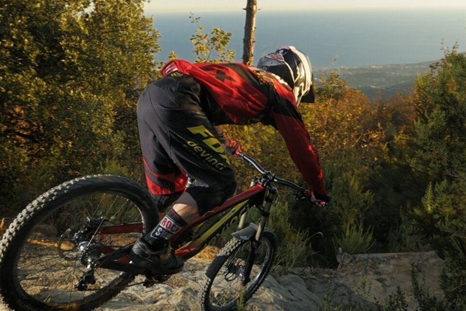
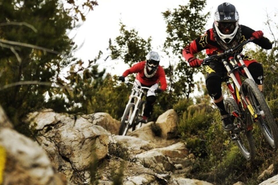
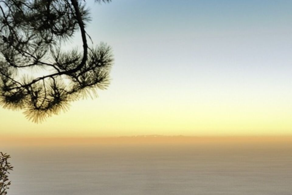
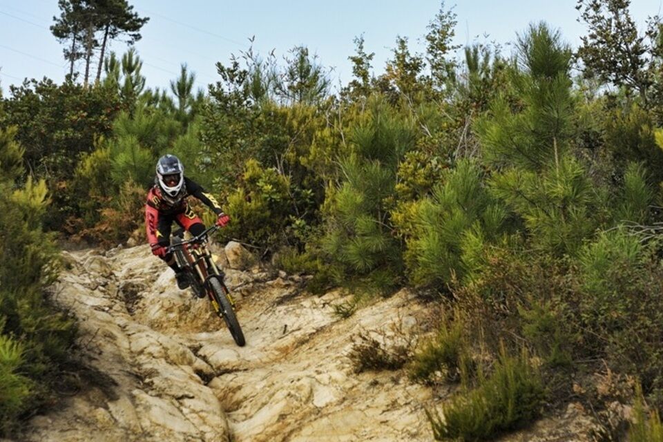
This route is put together in order to offer a second choice in the area to the riders who want to train on DH tracks of extreme difficulty. The start point of the track is on the Provincial road that goes to San Romolo a Baiardo, more precisely on the second switchback going uphill: the switchback turns to the right and the track starts on the left. Since the location of the start is at lower elevation compared to that of Monte Bignone, this track can be used at any time of the year, even when the light winter snowfalls can make the start of the other track, the DH Race, too difficult to reach. Initially named by the riders the freeride because it was easier and less physically demanding than Monte Bignone track, nowadays it has to be considered as a proper DH trail. The route can be divided into three sections: the first, besides the first straight, is quite easy, fast and good fun; the second, immediately steep, with a couple of techy passages on rock-slabs and with a road-gap of moderate difficulty, soon becomes very fast with two straight sections that lead to a series of demanding corners. A few more rocks and a very rough section take you to a clearing from where you can enjoy the magnificent view of Sanremo gulf. This is where the second part comes to its end and the most challenging, technical and fast section begins. Where sharp gradient changes and deep grooves carved by the water make the line choice especially important if you want to maintain good speed. This is where you will need courage and good riding skills. The whole section stands out as a series of difficult passages: after them, you are finally at the end of the trail. The end point is in Pian della Castagna on the Municipal road that connects the centre of Sanremo with San Romolo; on a switchback to the right, just below the exit of your trail, there is enough space to park and put the bike on the shuttle.


Access by car: Exit the motorway at the tollbooth of Sanremo (Im), take the Provincial road 56 and continue towards San Romolo.
Shuttle Service: available argentinabike.com/wp/
San Romolo (Im)
Classification: DH Difficulty: extreme Rideability +/- : 100% Water Points: 0 Local Knowledge: argentinabike.com

Obľúbené výlety v okolí
-
3,0
IM_21 Arma di Taggia - Ospedaletti (Area 24)
Turistika 13,3 km -
IM_18 San Romolo – Monte Bignone
Turistika 3,41 km -
Trail no. 01: Ventimiglia - La Colla
strednáTuristika 10,4 km -
5,0
Passeggista dei Ponti / Santa Brigida in Dolcedo, Ligurien/Italien
Turistika 7,59 km -
5,0
Rundweg um Badalucco
svetloTuristika 4,07 km -
IM_15 Laghetti del Rio Sgorela (Val Barbaira)
Turistika 2,95 km -
IM_20 Bordighera – Seborga
Turistika 15,2 km -
Costa Rainera-Cipressa-SantoStefano
svetloTuristika 15,4 km -
Tubi di San Lorenzo
ťažkéMountainbike 3,03 km -
Badalucco
svetloTuristika 2,67 km
Turistika a stopovanie


Nenechajte si ujsť ponuky a inšpiráciu na ďalšiu dovolenku
Vaša e-mailová adresa bol pridaný do poštového zoznamu.





