


Hare's Jump
The route starts from Levanto and continues towards Bonassola reaching Pian Pontasco, where it passes next to an old abandoned road inspector's house. From the dirt road with an old barrier, always open,...
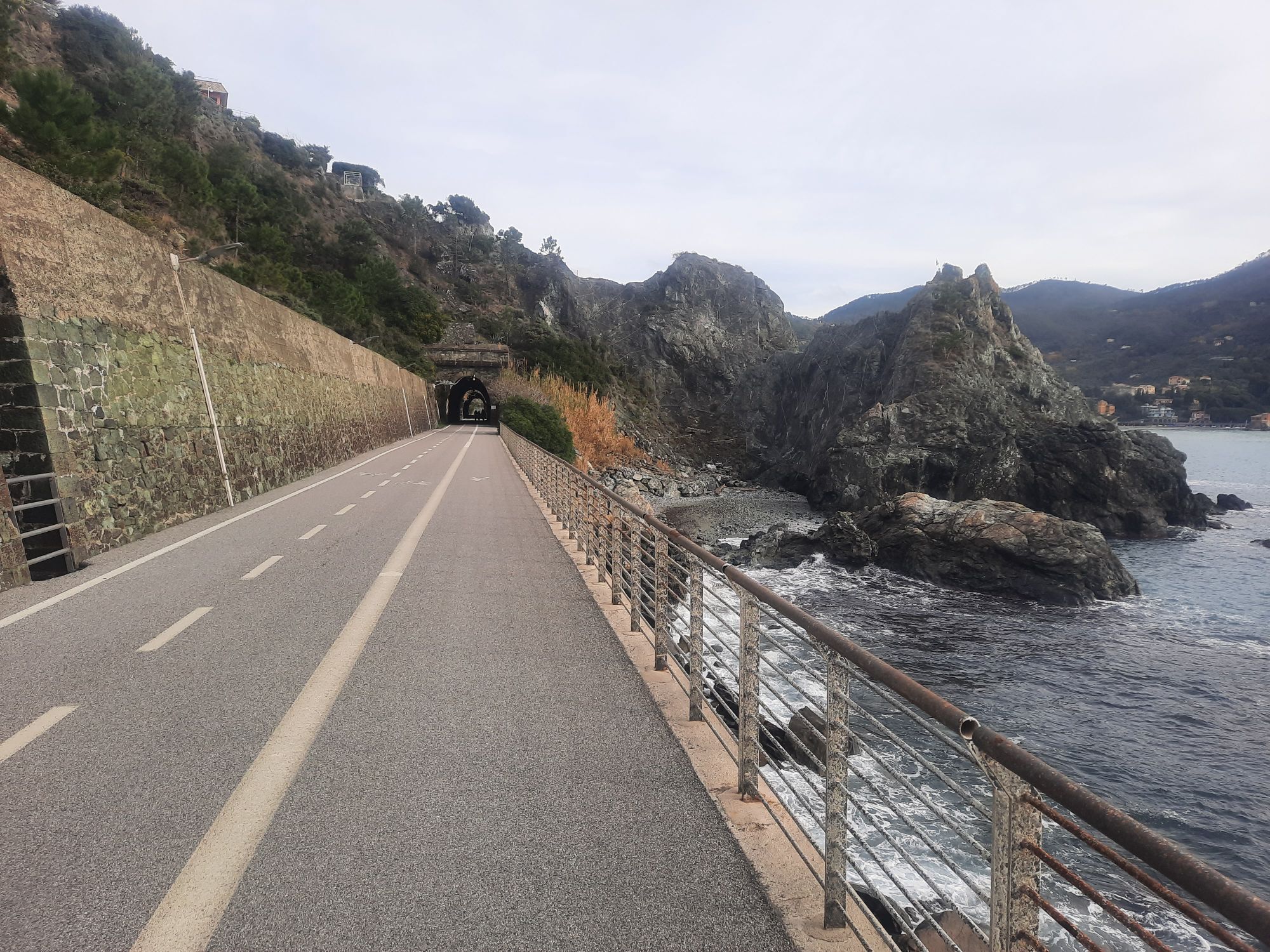
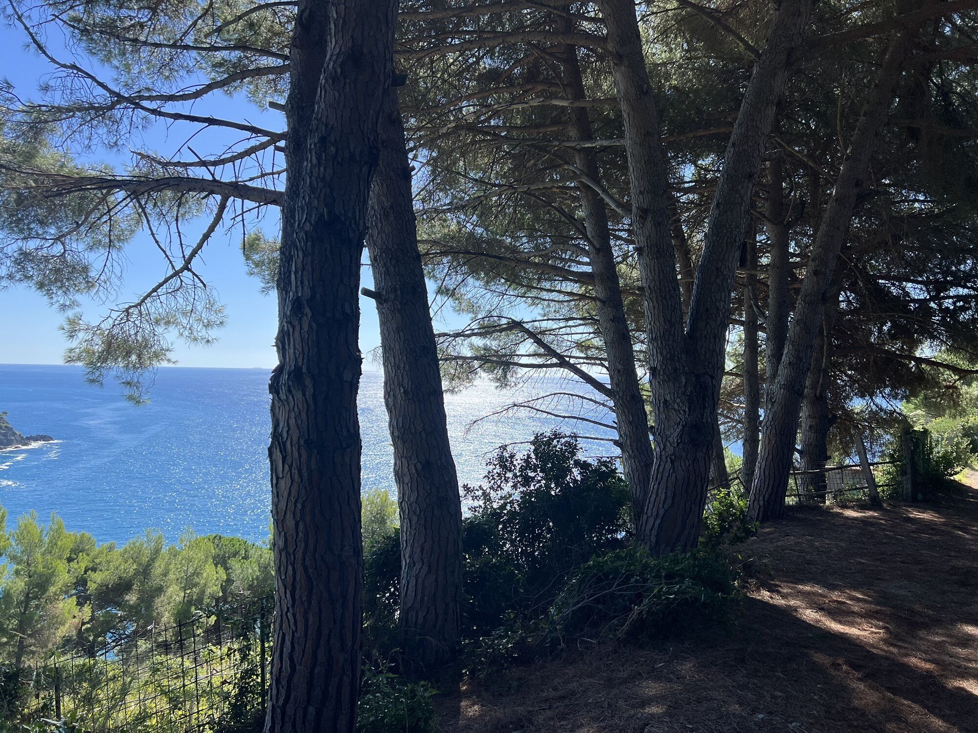
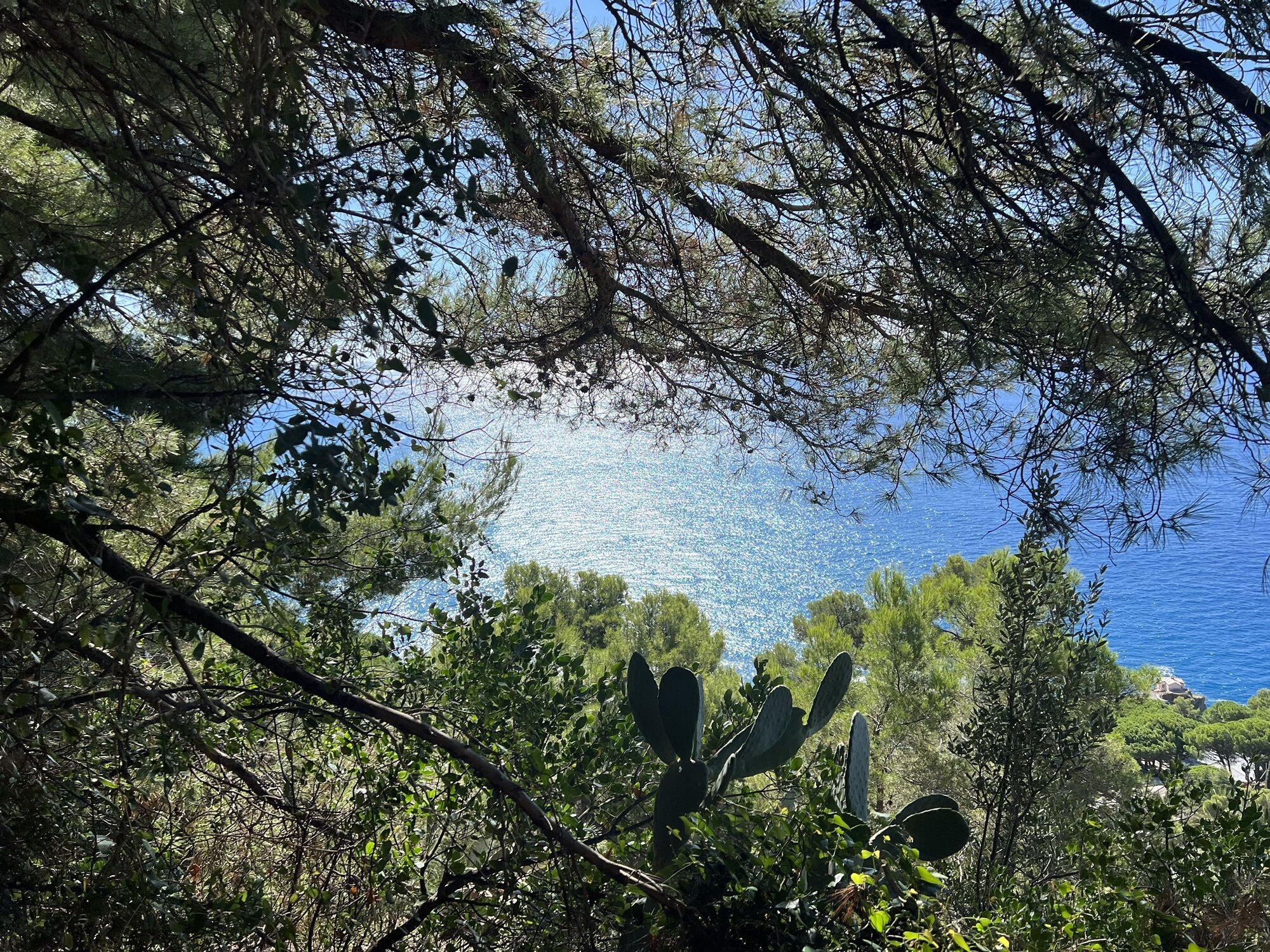
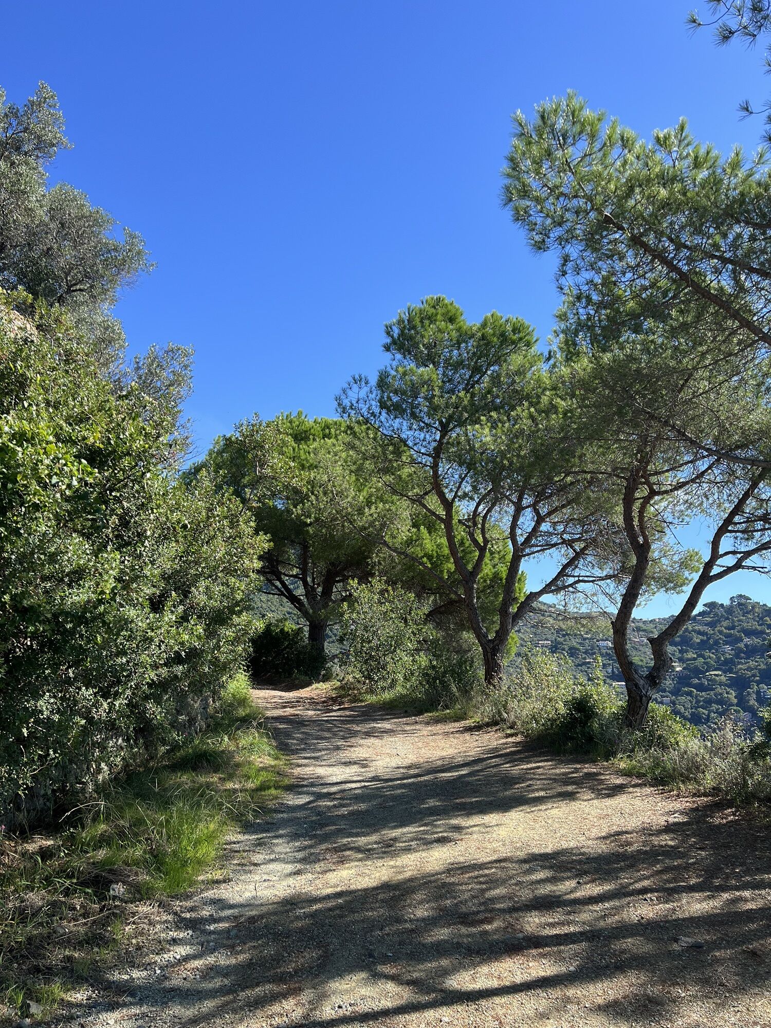
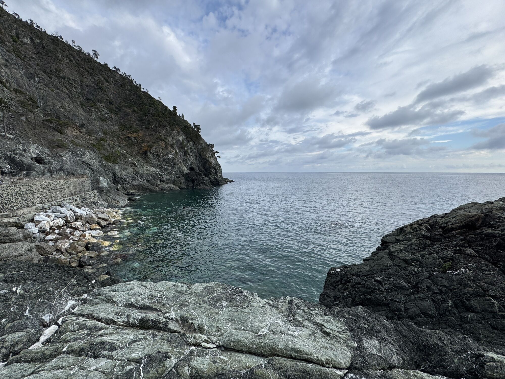
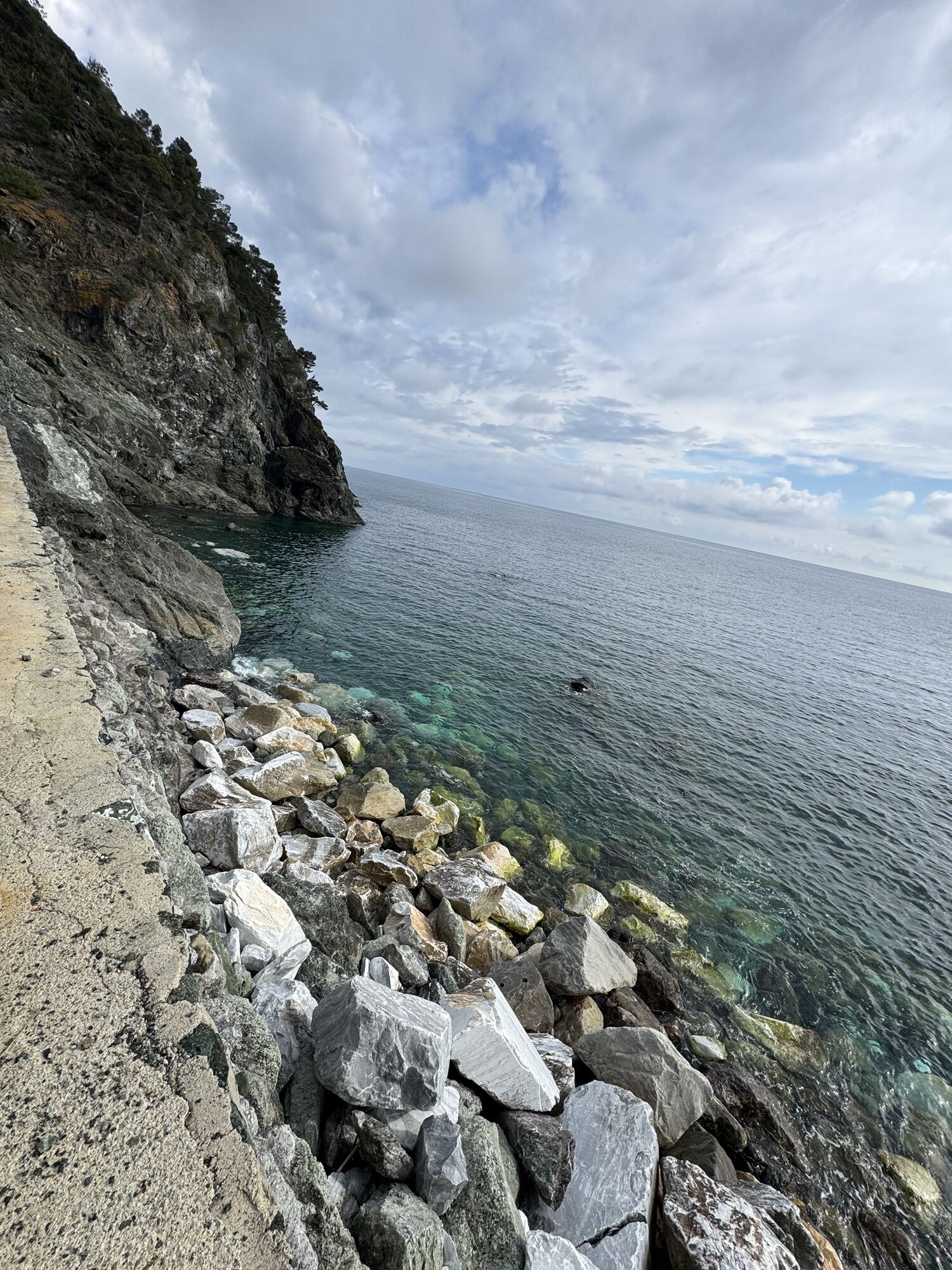
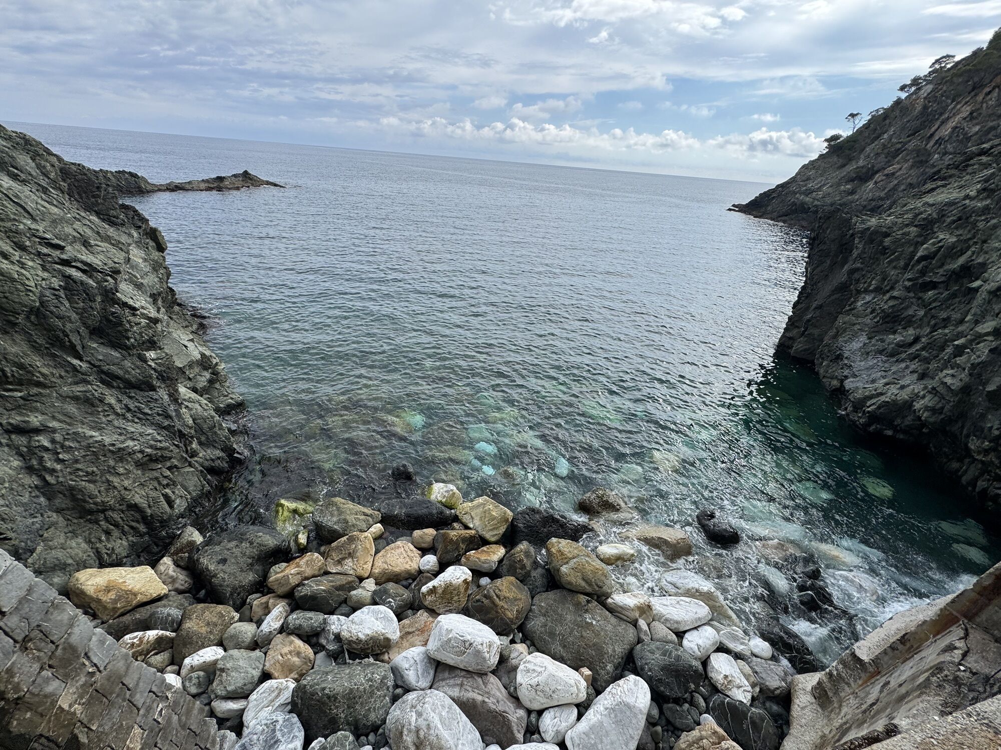
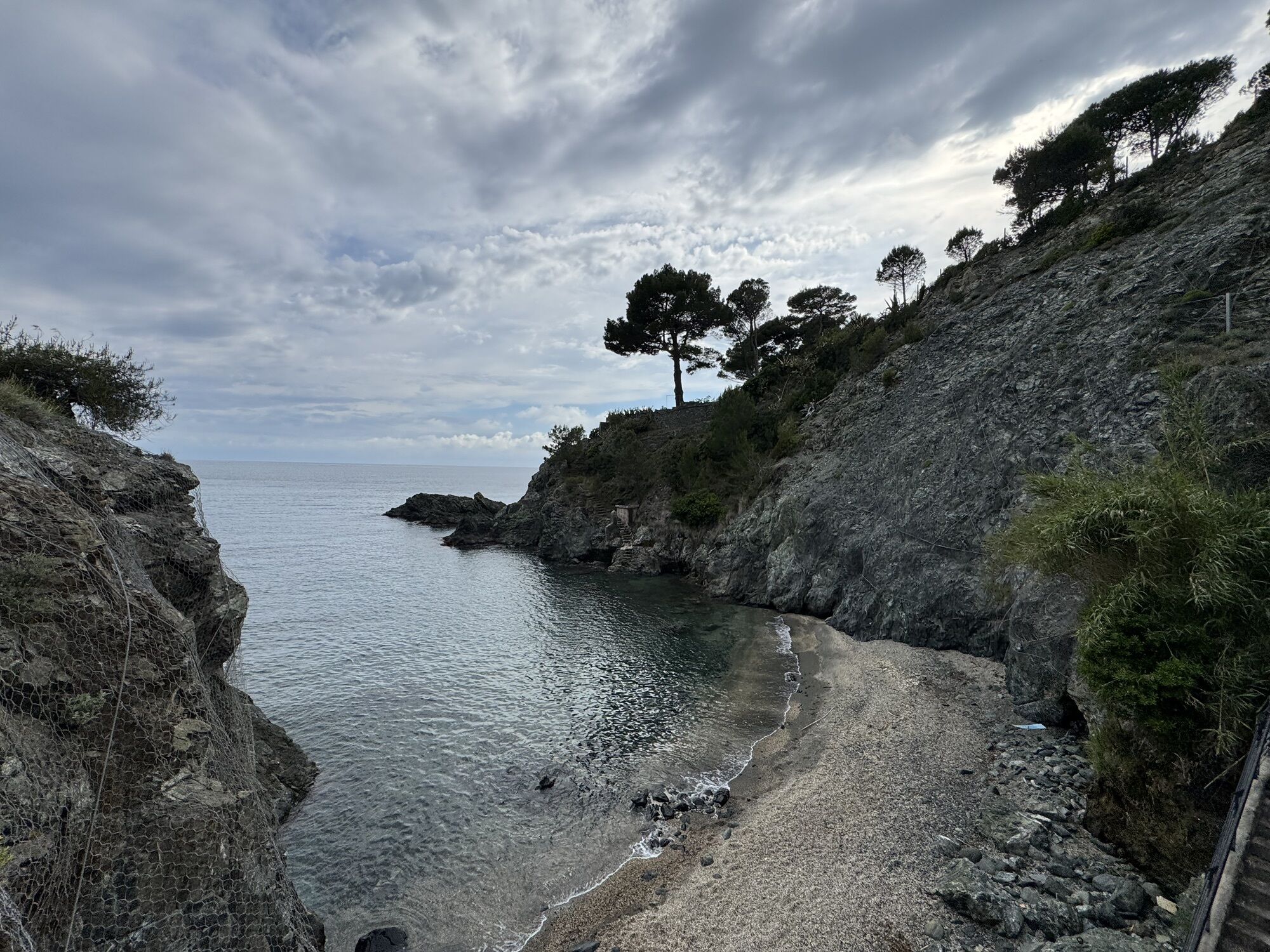
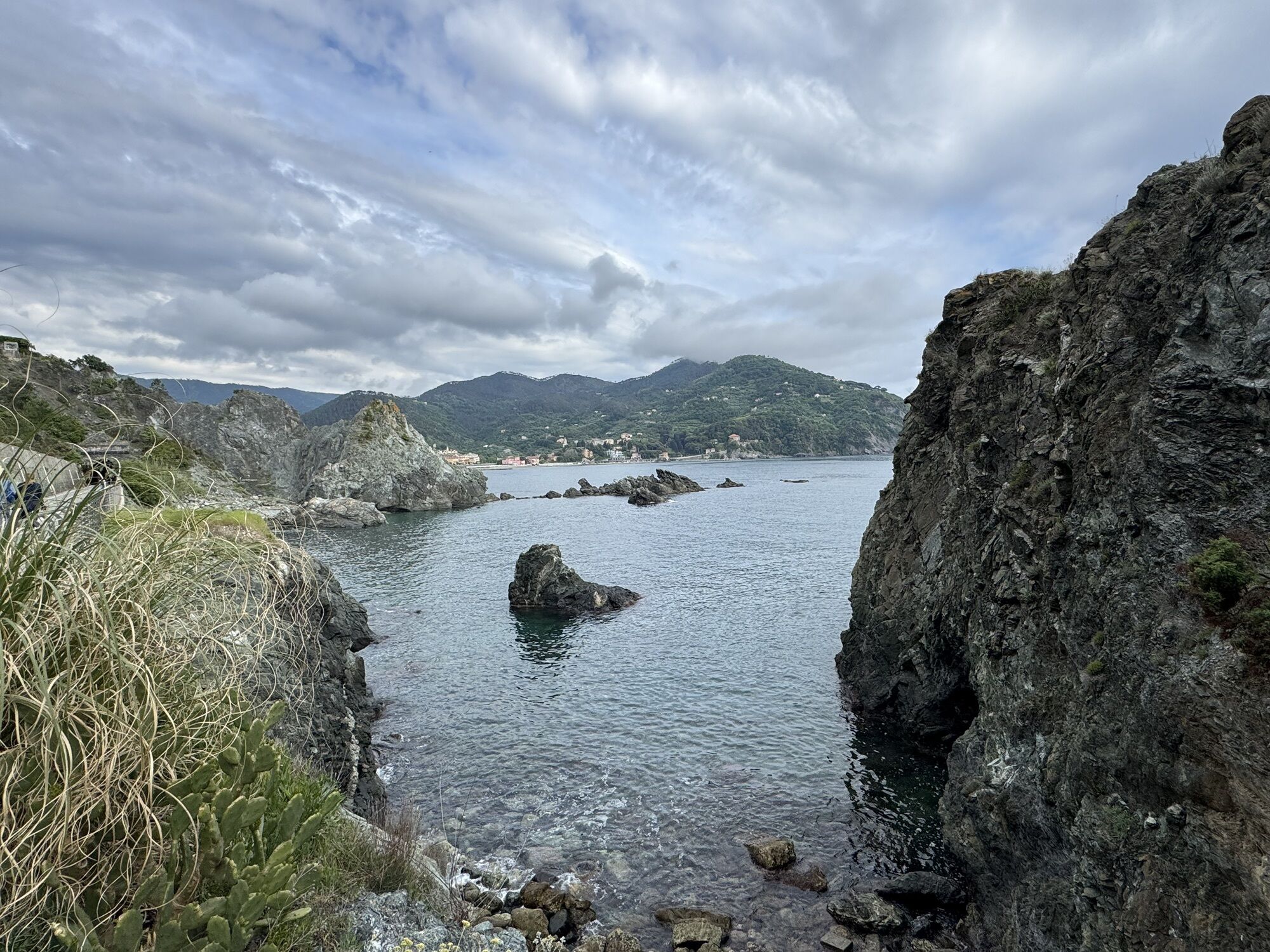
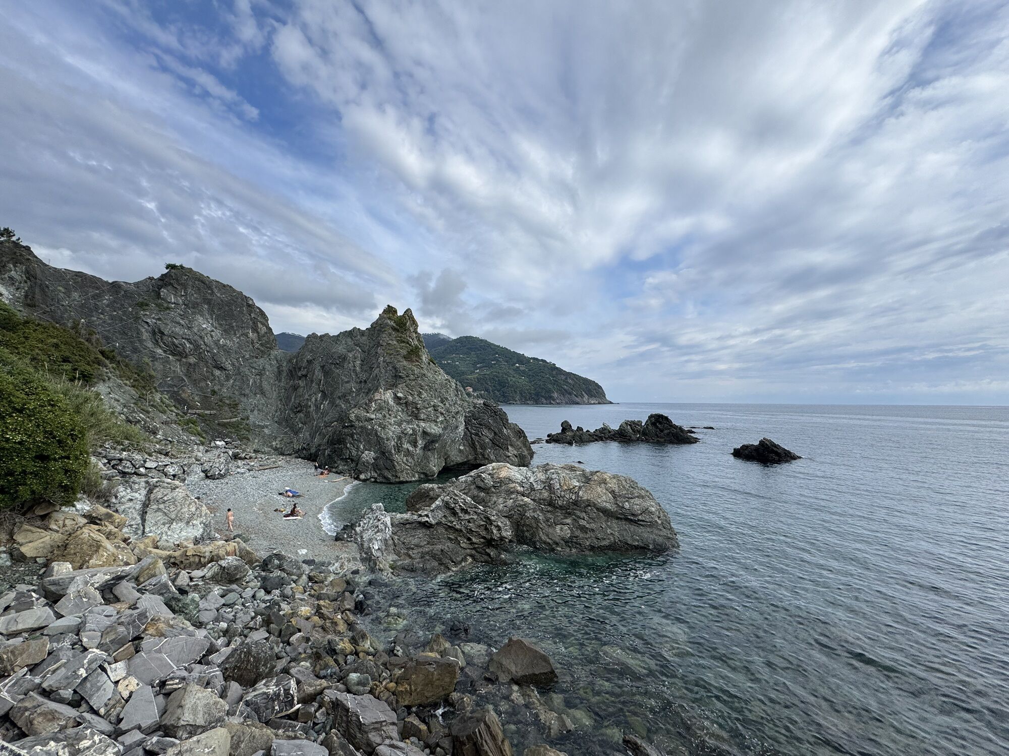
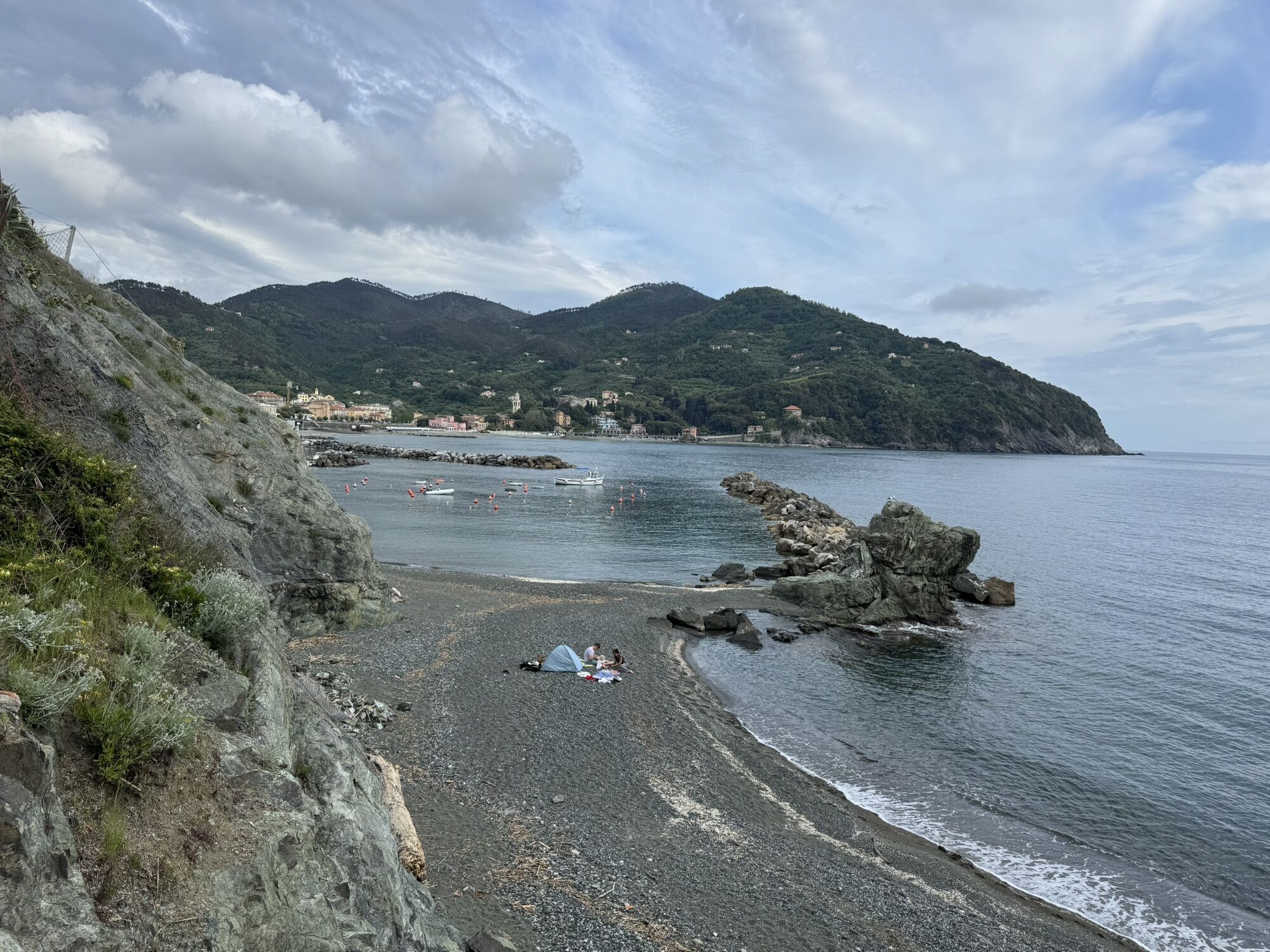
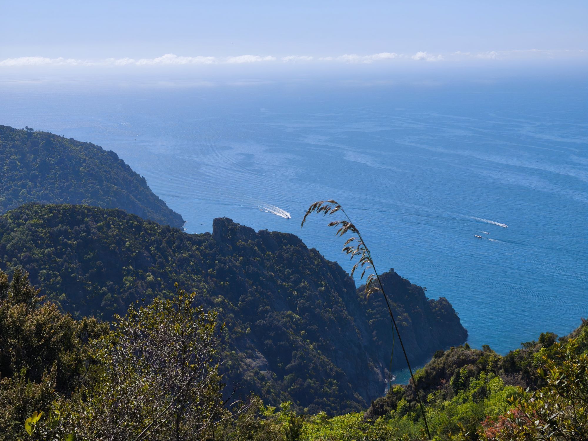
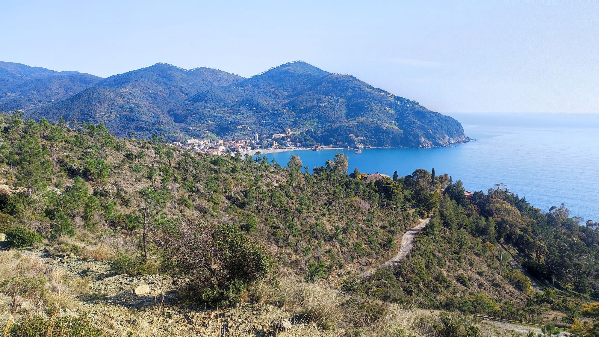
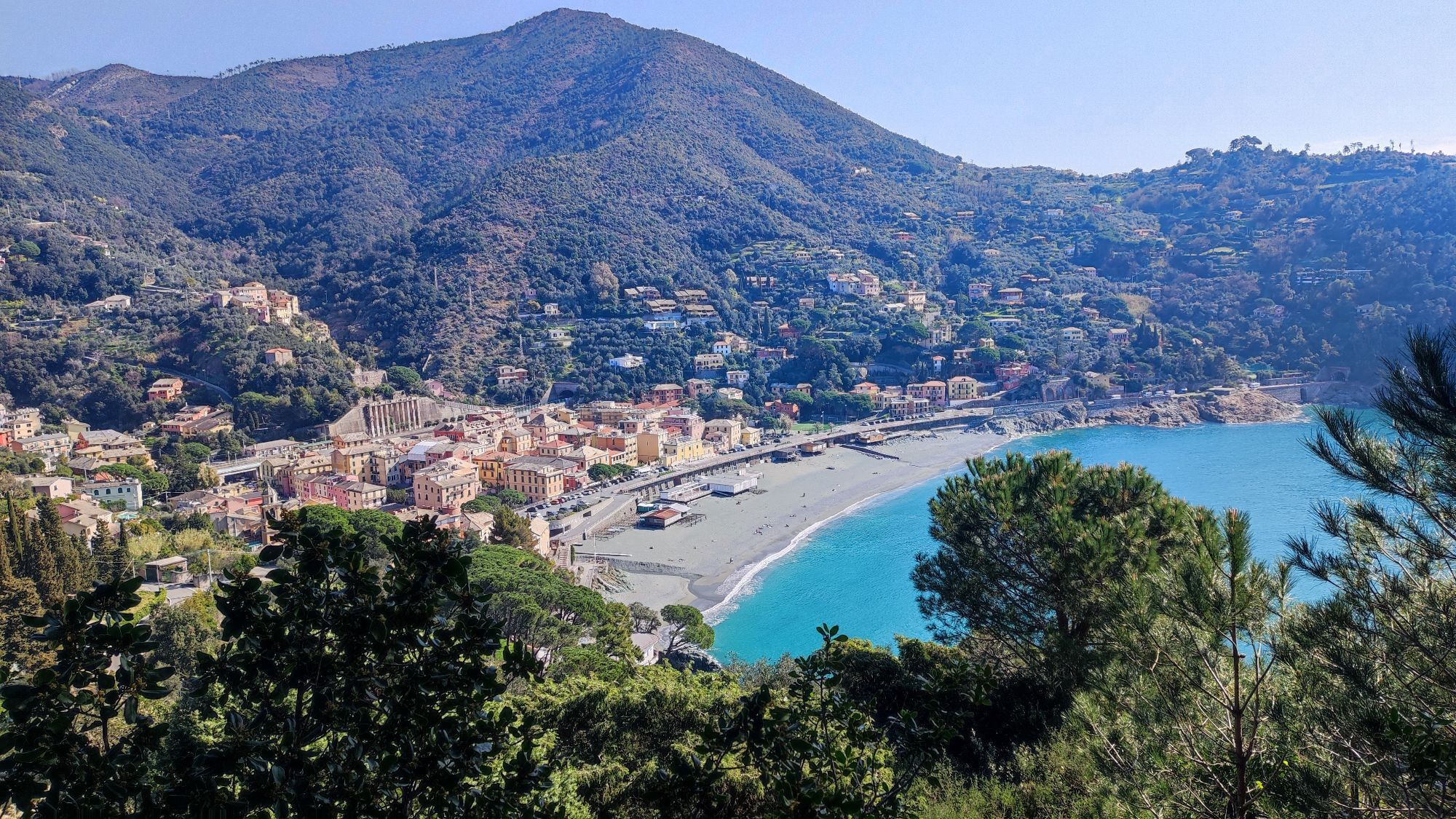
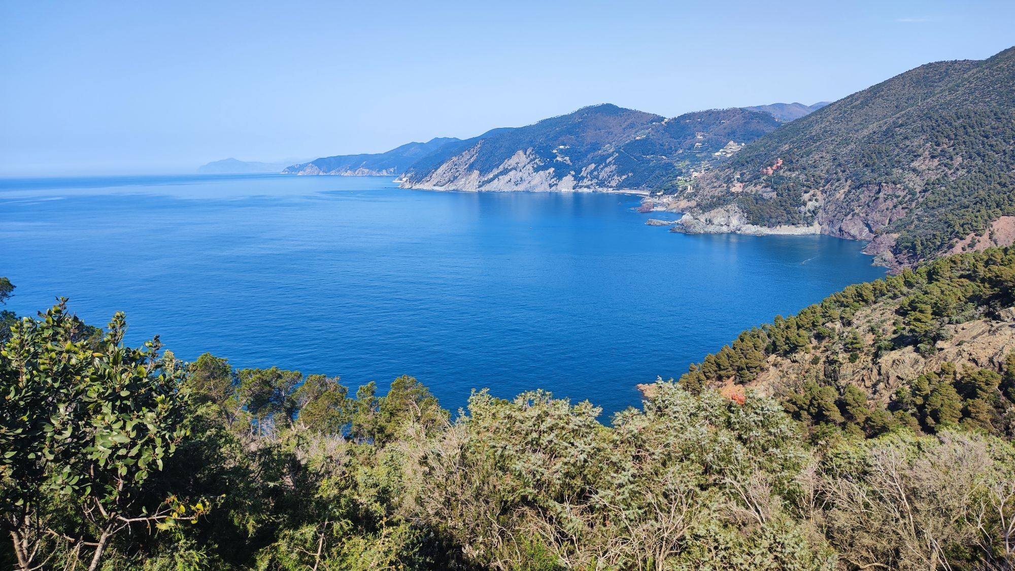
The route starts from Levanto and continues towards Bonassola reaching Pian Pontasco, where it passes next to an old abandoned road inspector's house. From the dirt road with an old barrier, always open, go uphill until you reach an old abandoned cottage: you are now in the Pian Pontasco meadows. Continue until you cross another wide trail, turn left and go up the former trail n.28. Continue for approximately 450 m and reach, on your left, a pine forest with green grass and ferns that grow very tall during the spring season. Shortly after, you are at the start of a descent that takes you through the pine forest with short pedalled sections, a few boardwalks and small wooden jumps. It ends on an asphalt road that you have to cross. You are now in an open space: be careful, three forest roads meet there. If you have the asphalt road behind you, you will see a trail that goes down to the left, one in front of you and one to the right that is wide enough for off-road vehicles. Turn onto the wide track on the right which is initially flat and then goes slightly downhill. Continue in the same direction until you find a climb that soon takes you to Gaggi area. Then, descend for 150 m. At this point the wide track ends and the single-track begins. After a short section of hike-a-bike you are into the woods of chestnuts and oaks. Continue through a succession of ups and downs and reach the plateau where several tracks converge. Take the trail to the right and drop into a difficult technical downhill. Continue until you cross the asphalt not far from Foce Framura, pass through the village heading west and pick up the trail that plunges you again into the woods of oaks. Continue in the direction of Deiva Marina riding the Monte Serro loop, where you come across the Belvedere area: you are now very close to the sea, immersed in the vegetation, and the view is wonderful! Proceed a little further straight on, pick up the trail on the right, then turn left and, back to the asphalt, go downhill toward the start point in Foce del Prato.


Access by car: Exit the motorway at the tollbooth of Corrodano-Levanto, then continue on the Provincial road 566 in the direction of Levanto.
Shuttle Service: not available
Levanto (SP)
Classification: EN Difficulty: moderate Rideability +/- : 100% Water Points: 2 Local Knowledge: www.facebook.com/groups/2319FREERIDEL...
Obľúbené výlety v okolí
-
4,8
SP_07 Manarola - Volastra - Corniglia
Turistika 5,75 km -
5,0
Levanto nach Monterosso
strednáTuristika 6,83 km -
4,2
Leg 4 from Riomaggiore to Monterosso
Turistika 15,1 km -
4,8
Monterosse - Vernazza
strednáTuristika 4,68 km -
5,0
Bonassola-Levanto-Monterosso
svetloTuristika 10,9 km -
5,0
Leg 7 from Moneglia to Sestri Levante
Turistika 15,2 km -
SP_21 Ciclopedonale Levanto – Bonassola – Framura
Turistika 6,70 km -
5,0
SP_13 Ring path of Levanto
Turistika 8,18 km -
SP_12 Framura - Bonassola
Turistika 3,82 km -
SP_22 High Way of the Cinque Terre
Turistika 65,0 km

Turistika a stopovanie


Nenechajte si ujsť ponuky a inšpiráciu na ďalšiu dovolenku
Vaša e-mailová adresa bol pridaný do poštového zoznamu.