






IM_14 San Michele (train station) - Monte Grammondo

the itinerary starts beside Olivetta San Michele railway station (141 m; trail sign white-red, wooden signpost). By a mule-track and some stretches on asphalt road you rise along the Rio di Tron brook...
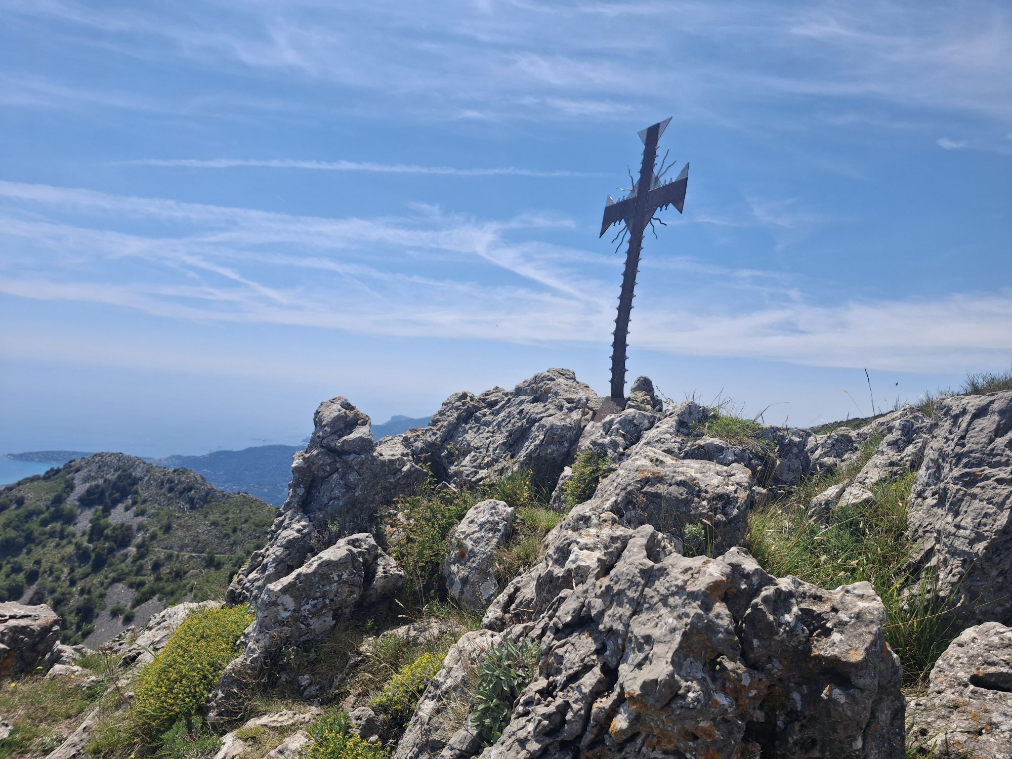
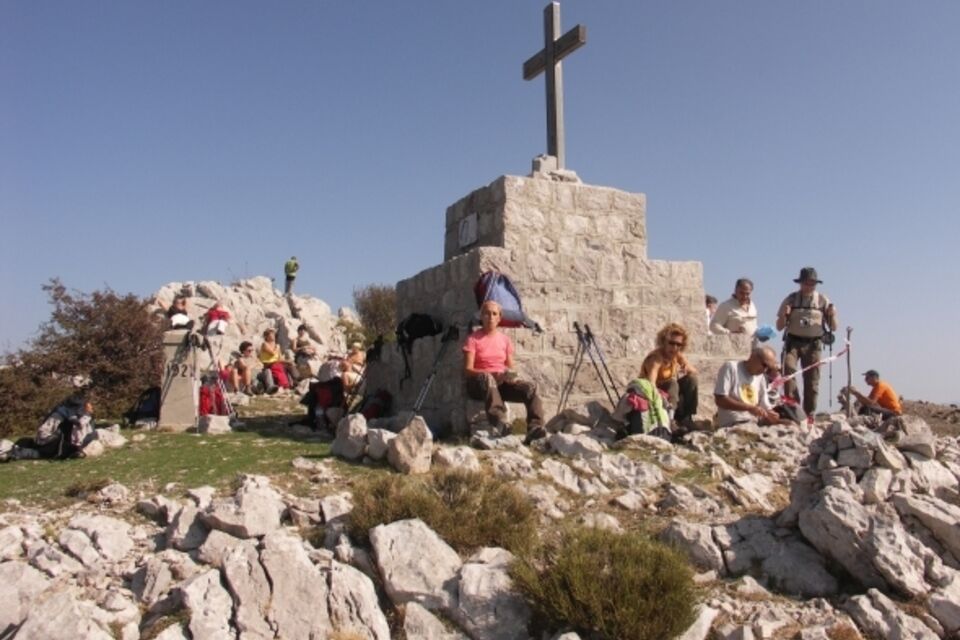
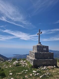
the itinerary starts beside Olivetta San Michele railway station (141 m; trail sign white-red, wooden signpost). By a mule-track and some stretches on asphalt road you rise along the Rio di Tron brook as far as Olivetta (292 m), attractive village located on a hill which overlooks the Bevera Valley. Walk by the church and the town hall and start descending as far as Ponte Roncone (251 m) on the Bevera stream. Follow a steep mule-track which gains elevation by a series of hairpin turns. The landscape is initially rural with olive groves, but it is soon replaced by pine woods, mediterranean shrubs and evergreen oak woods. The mule-track crosses limestone outcrops covered with the wonderful pink flowers of the cistus. Passing below the rocky slopes of Monte Butetta you enter the wood; a short deviation takes you to Rifugio Patrick Gambino (1014m). Walk uphill along a dirt road by some ruined military buildings and at 1300 m above the sea level the view opens on the trees of the Bevera Valley. Here you turn off the footpath, turn right and, through rocks and shrubs, rise along the ridge and in c. 300 m, between thyme and lavender shrubs you reach the top of Monte Grammondo (1378 m). The summit offers a wide panorama. The return is by the same itinerary.


by train (Ventimiglia-Cuneo line) reach the station of Olivetta San Michele, located in the bottom of the valley or by bus (www.rivieratrasporti.it) from Ventimiglia by bus line no. 3 you reach Olivetta San Michele.
from Ventimiglia motorway exit (A10 Genova-Ventimiglia) drive uphill along the strada statale 20 as far as San Michele; here you follow the provincial road SP73 to the left to Olivetta.
Nature and Landscape * * * * * * Family * * * Gourmet * * * * Culture * * * *
Aktivity počas prehliadky

Obľúbené výlety v okolí
-
Trail no. 01: Ventimiglia - La Colla
strednáTuristika 10,4 km -
5,0
Goldtoni - Alpenbogen A102 Monaco-Sospel
svetlodiaľková pešia trasa 29,7 km -
IM_15 Laghetti del Rio Sgorela (Val Barbaira)
Turistika 2,95 km -
5,0
Goldtoni - Alpenbogen A103 Sospel-Refuge des Merveilles
strednádiaľková pešia trasa 33,5 km -
FFC cycling circuit no. 21: On the roads of the Col de Turini
strednáCestný bicykel 54,8 km -
Alla frontiera 30.08.2024
svetloTuristika 8,01 km -
Leg 29 from Ventimiglia to Grimaldi
Turistika 7,75 km -
5,0
Sospel Enduro/dh Ebike
strednáMountainbike 28,3 km -
Menton - Sospel / Route royale (stage 1)
Turistika 18,6 km -
FFC cycling route no. 2: THE LAST STAGE OF THE 2024 TOUR DE FRANCE TIME TRIAL
strednáCestný bicykel 59,5 km
Turistika a stopovanie


Nenechajte si ujsť ponuky a inšpiráciu na ďalšiu dovolenku
Vaša e-mailová adresa bol pridaný do poštového zoznamu.





