


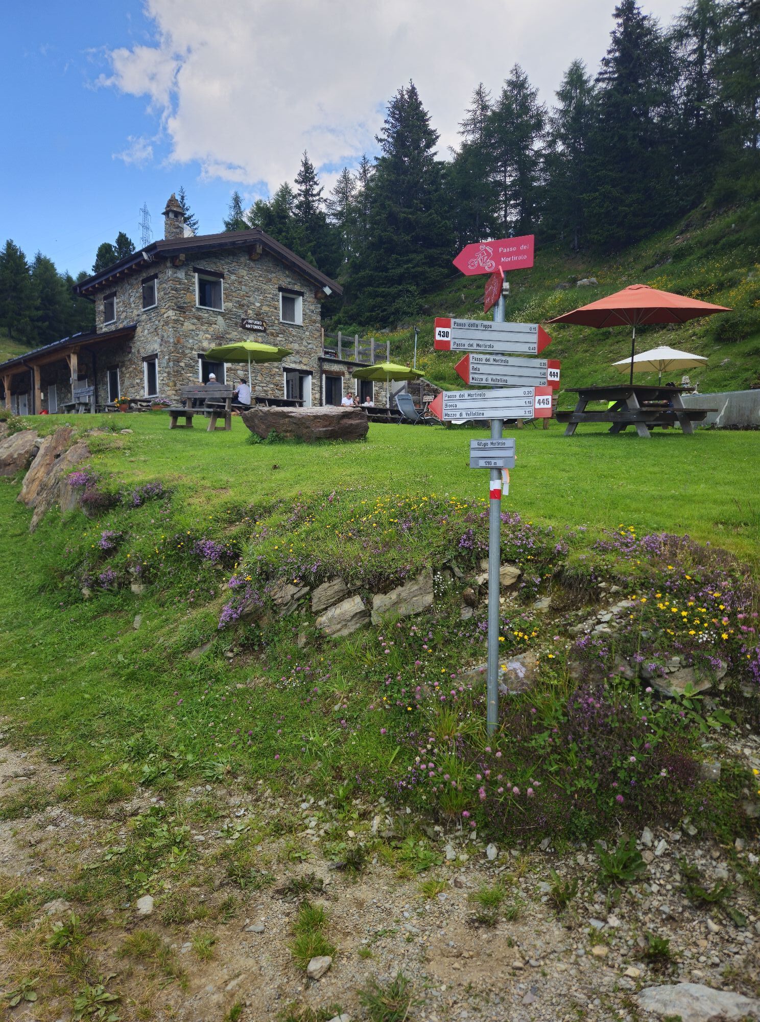
Mortirolo Pass (from Grosio)
Úroveň náročnosti: 4

We are now talking about the least demanding of the climbs to reach the legendary pass of Mortirolo. Starting off in Grosio, at 630 m a.s.l., you climb for about 14.8 km with an elevation gain of 1222...
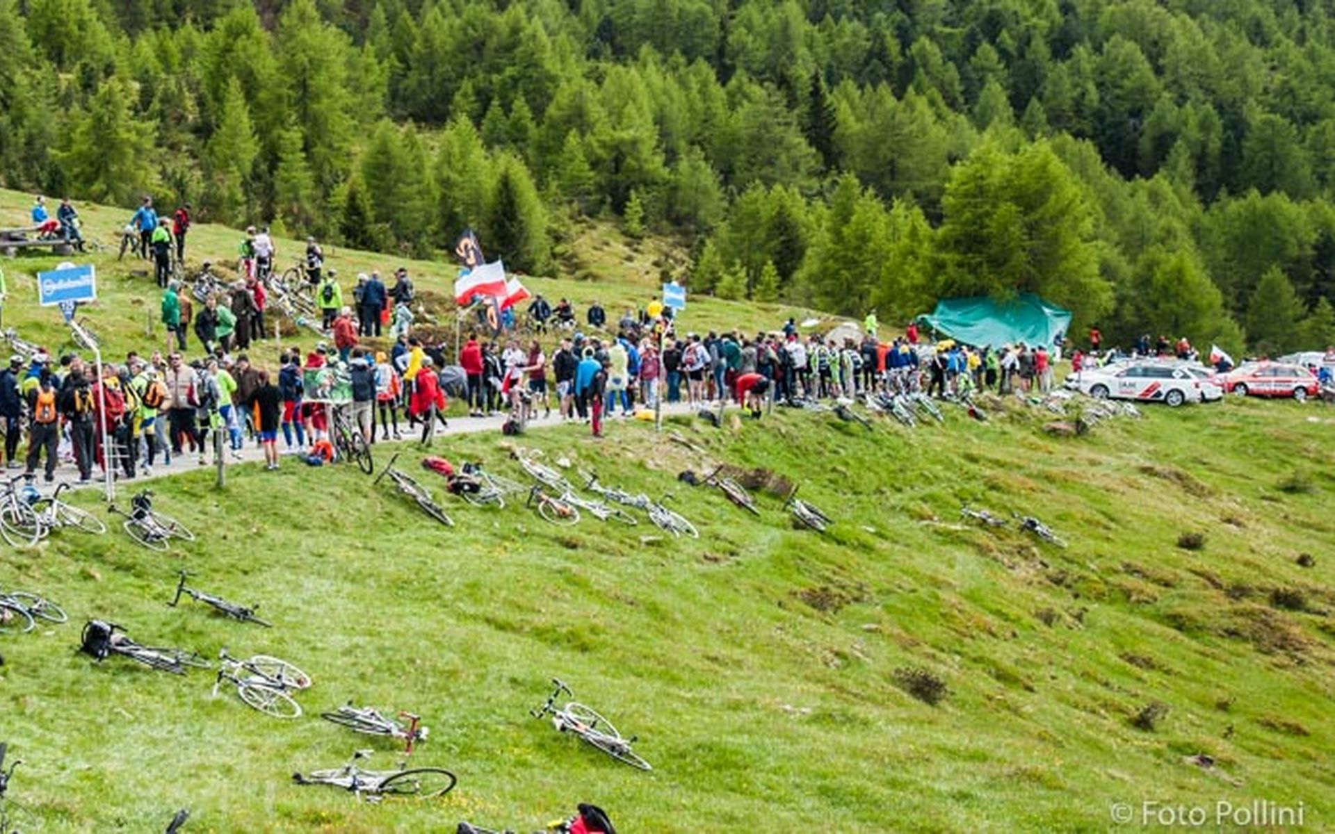
We are now talking about the least demanding of the climbs to reach the legendary pass of Mortirolo. Starting off in Grosio, at 630 m a.s.l., you climb for about 14.8 km with an elevation gain of 1222 m. The average gradient is 8.3% and the maximum is 14%. This side has hardly ever been included in the Giro d'Italia, except in 2012, when it was ridden downhill, with the winning attack of the belgian Thomas De Gendt. Many tourists, coming from bormio, choose this side to climb up to the pass, preferring it to the classic ascent - from Mazzo in Valtellina- because it is easier. however, the climb is spectacular and after the first 3 km quite demanding and immersed in evergreens; after that section, a breathtaking view opens on Valtellina. Along the climb, between kilometre 10 and 11, close to an agriturismo, the gradient increases until the top. After this rise, there are some hairpins that give you a break before reaching, after a little church, the side of the classic Mortirolo, at the biorca crossroad.

Áno
4
Obľúbené výlety v okolí
-
4,0
Adamello - Val Grande - Biwak
strednáE-MTB 22,8 km -
5,0
32.05 Poschiavo - Tirano, Trans Altarezia Bike
ťažkéMountainbike 29,1 km -
Charcoal Burner Route San Romerio
ťažkéTematická trasa 2,91 km -
33.10 Le Prese - Tirano, Via Albula / Bernina
strednáTuristika 14,6 km -
Schmugglerweg
Turistika 9,11 km -
30.07 S. Romerio - Tirano (I), ViaValtellina
ťažkéTuristika 12,2 km -
434 Col d'Anzana
ťažkéMountainbike 33,8 km -
Poschiavo - San Romerio - Viano
Turistika 16,1 km -
Route in Val di Rezzalo from the Ponte dell'Alpe
ťažkéTuristika 12,3 km -
Alta Via della Magnifica Terra - N208
ťažkédiaľková pešia trasa 67,3 km
Turistika a stopovanie


Nenechajte si ujsť ponuky a inšpiráciu na ďalšiu dovolenku
Vaša e-mailová adresa bol pridaný do poštového zoznamu.