





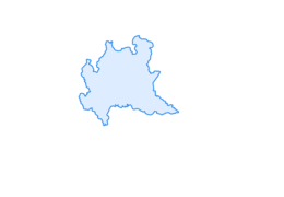
Bocheta de Valecia

Departure from the P12 Pont de Re'z parking lot. Follow the Vale'cia valley on a drivable dirt road to shortly reach the Bait de Vale'cia. Continuing, you easily reach the Chese'ira de Vale'cia, then continue...
Departure from the P12 Pont de Re'z parking lot. Follow the Vale'cia valley on a drivable dirt road to shortly reach the Bait de Vale'cia. Continuing, you easily reach the Chese'ira de Vale'cia, then continue on the pedestrian path. The first part is easy to walk, surrounded by gentle pasture slopes. Arriving at the foot of La Fo'pa, the path becomes more challenging with a sharp elevation gain leading up to 2,614 m above sea level at the Boche'ta de Vale'cia. The pass connects right to the Boche'ta da li Mina and, descending towards the Val Minestra, with the Val Viola in the territory of the Municipality of Valdidentro.
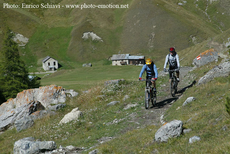
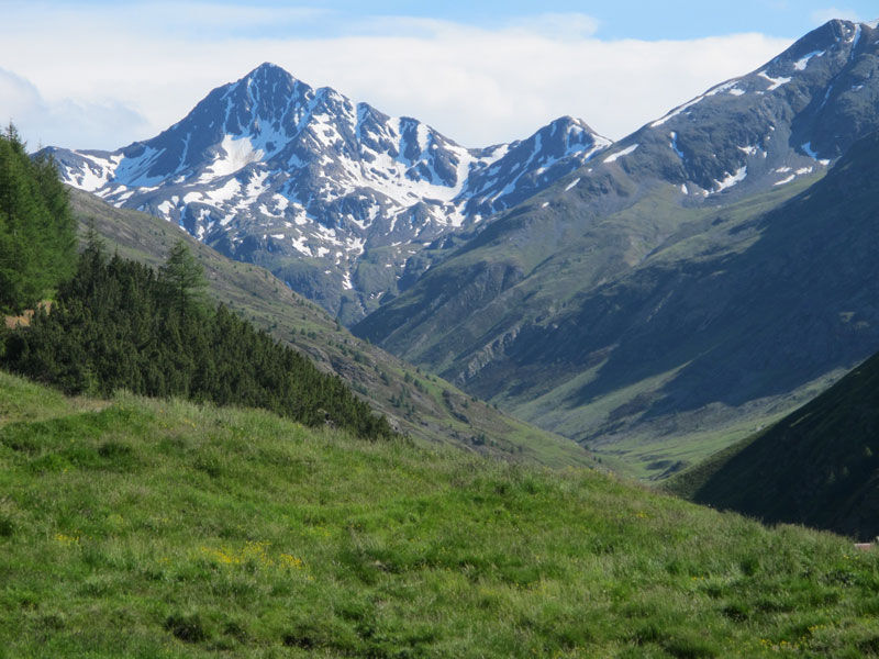
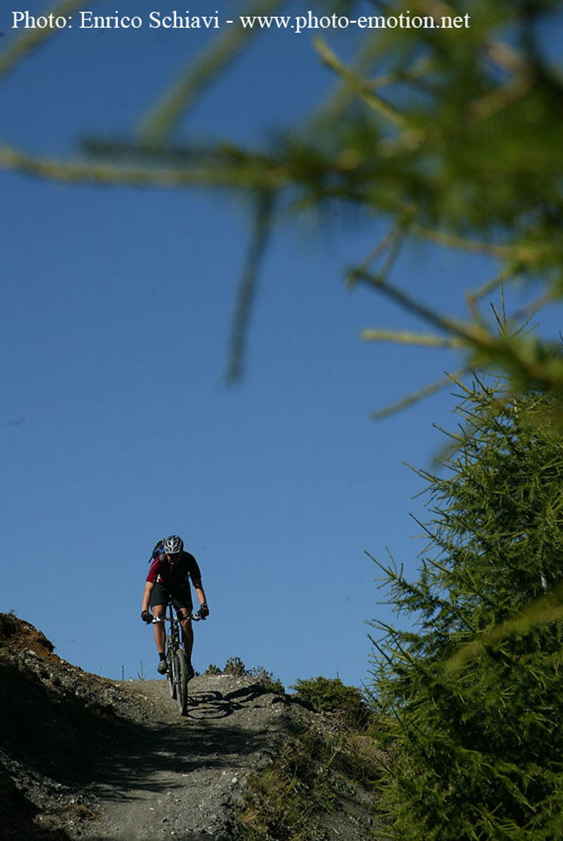
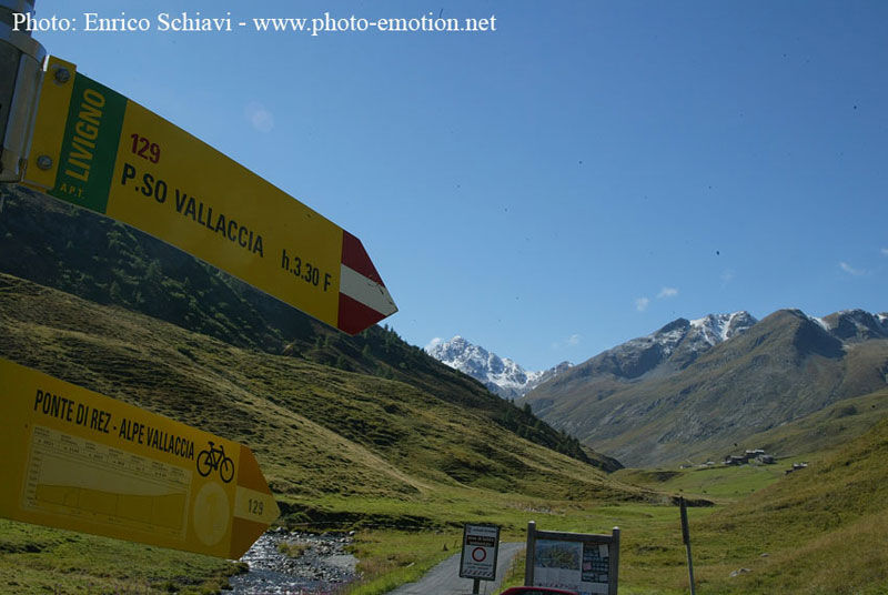

P12 Pont de Re'z - Ba'it de Vale'cia - Chese'ira de Vale'cia - Boche'ta de Vale'cia
P12 Pont de Re'z
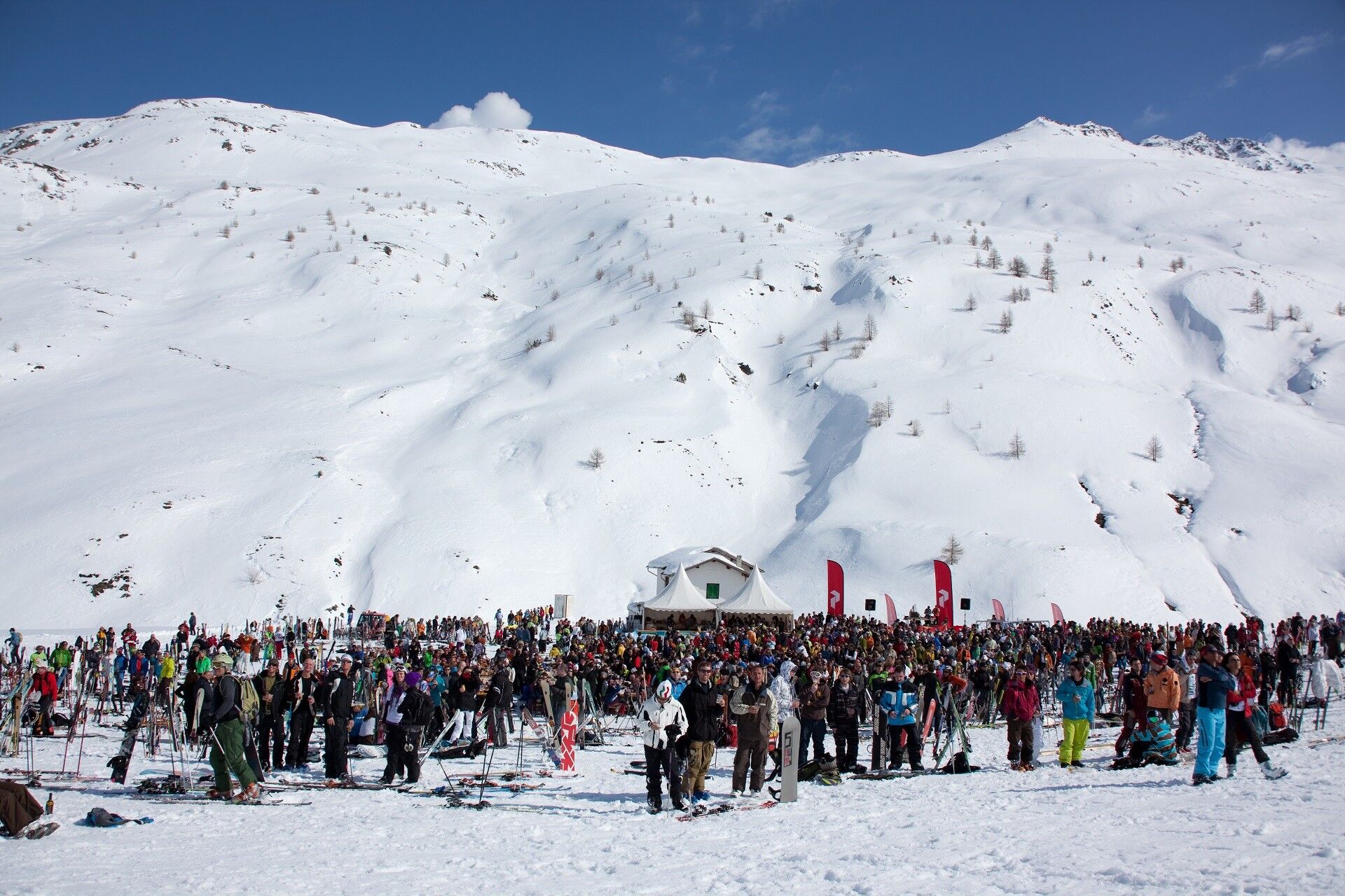
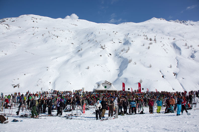
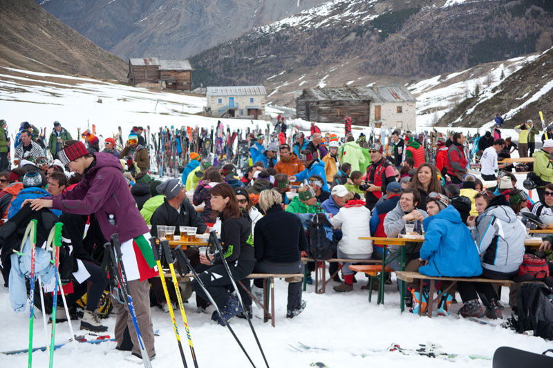
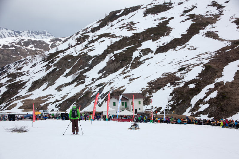
Trepallina Festival La Vale'cia is an unspoiled valley, appreciated by off-piste and ski mountaineering enthusiasts. Every year during the Free Heel Fest, an international telemark festival, over a thousand enthusiasts from all over the world gather for the largest telemark barbecue and dancing on the snow.
Obľúbené výlety v okolí
-
4,9
Circular hike Val Trupchun in the Swiss National Park
strednáTuristika 13,8 km -
5,0
Mountain hike to Lagh da Saoseo
ťažkéTuristika 15,0 km -
4,8
Lagalb - Val Minor - Motta Bianca - Lagalb
strednáTuristika 9,80 km -
4,7
Val Nera Waterfalls
svetloTuristika 5,70 km -
5,0
Crap da la Pare' with Joëlette
svetloTuristika 4,58 km -
5,0
Monte Scale Loop Trail
ťažkéTuristika 7,53 km -
4,2
Val Federia Livigno
strednáElektronický bicykel 26,5 km -
4,5
Da Sfazù a lago Saoseo
svetloTuristika 11,0 km -
5,0
444.02: Nationalpark Bike-Tour 2. Etappe
ťažkéMountainbike 39,6 km -
5,0
Livigno–Tour of the Lakes: Cancano–San Giacomo
strednáMountainbike 47,1 km
Turistika a stopovanie


Nenechajte si ujsť ponuky a inšpiráciu na ďalšiu dovolenku
Vaša e-mailová adresa bol pridaný do poštového zoznamu.





