






Gottardo Bike - Stage 1: Andermatt - Airolo (SwitzerlandMobility 65)
Úroveň náročnosti: S1
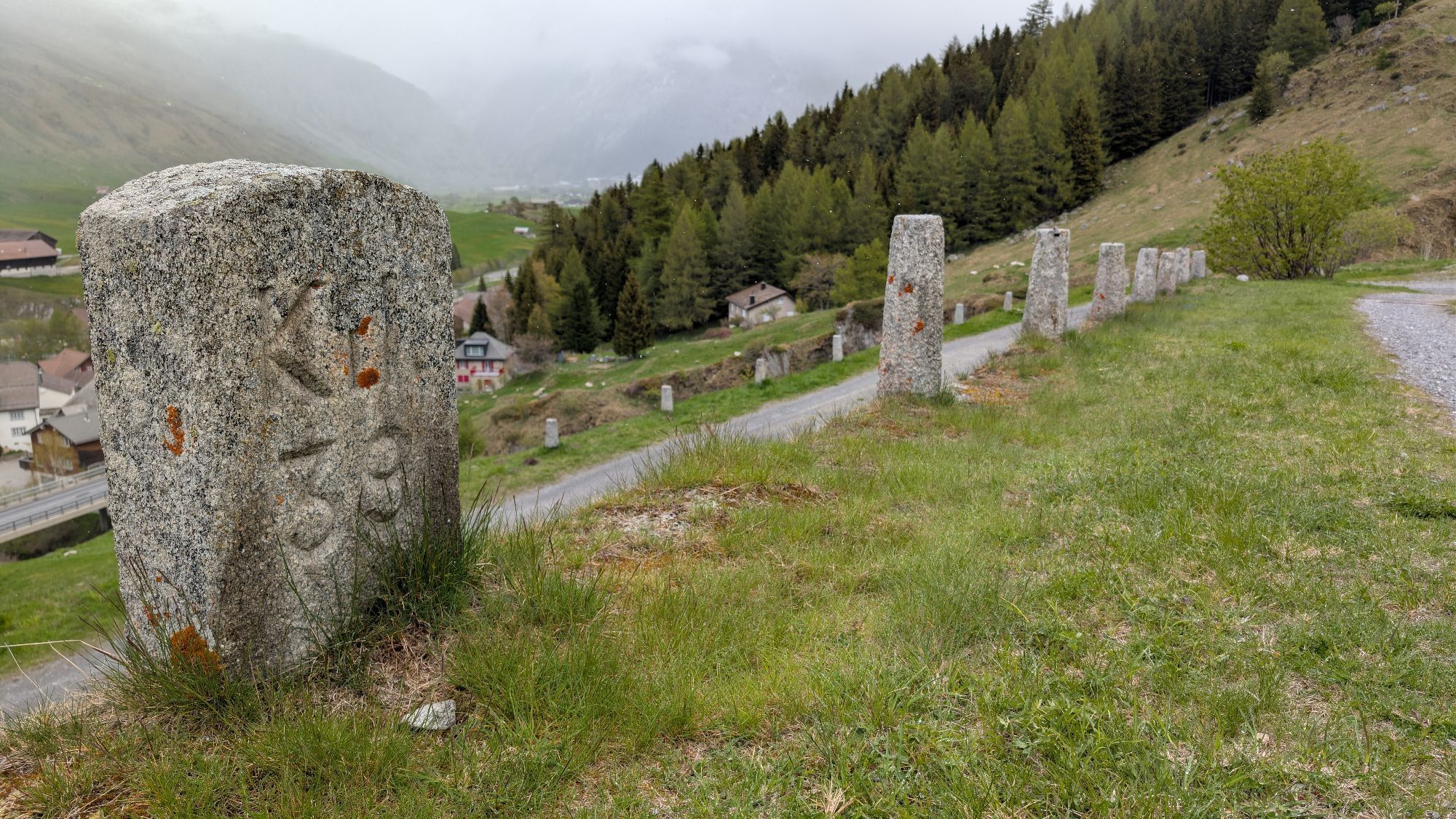
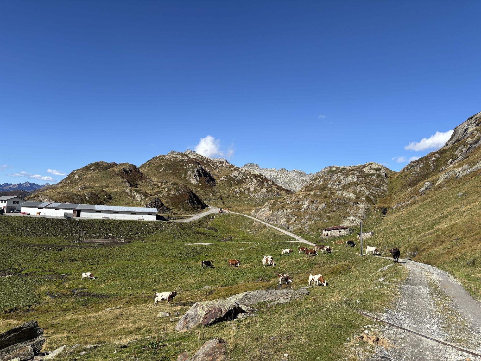
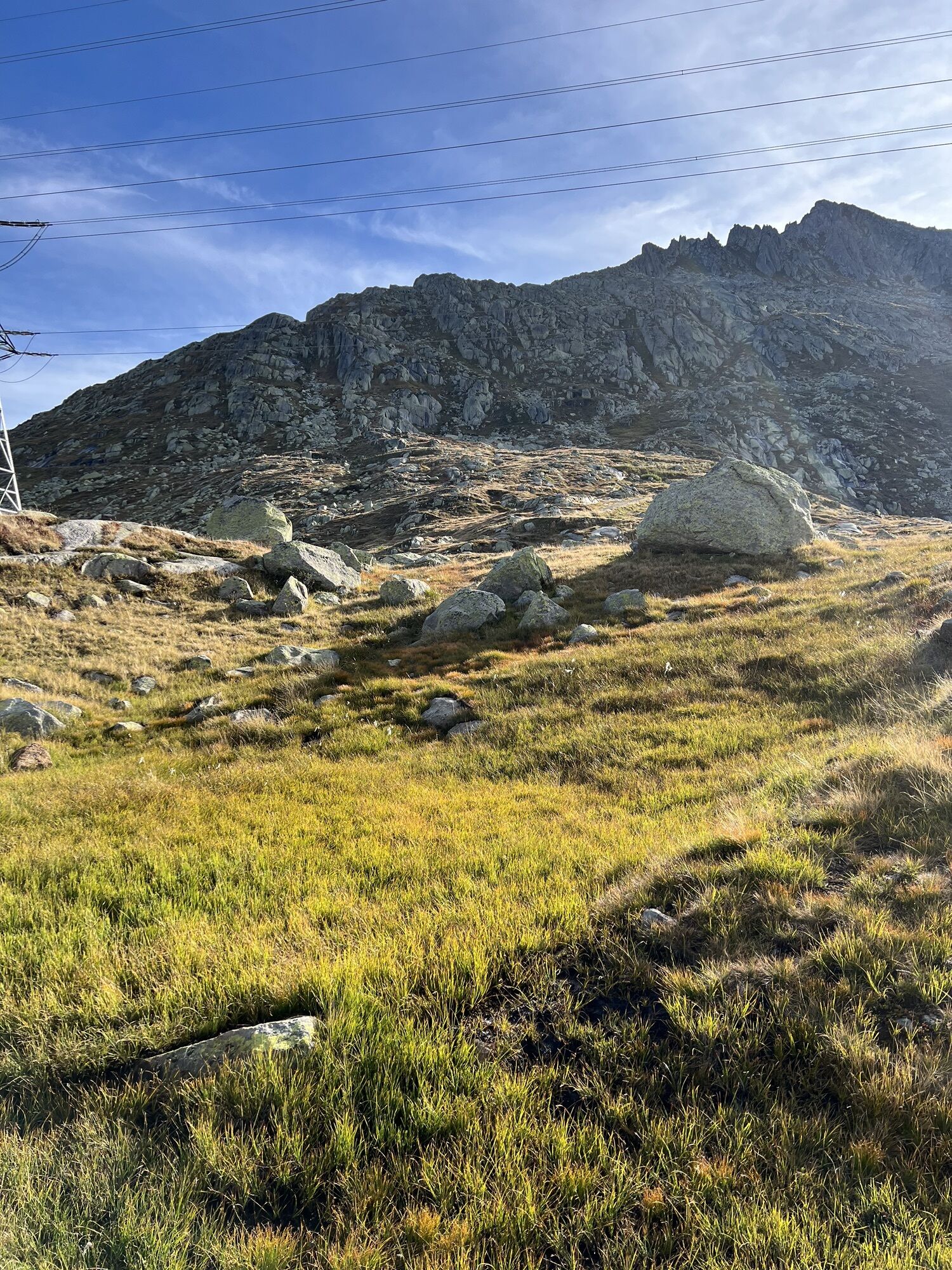
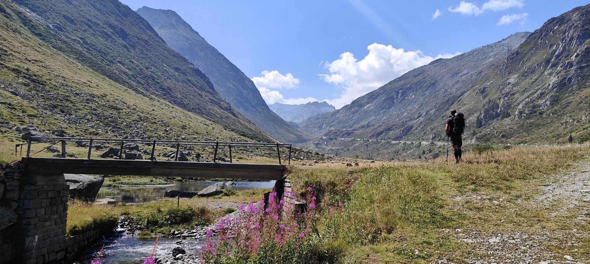
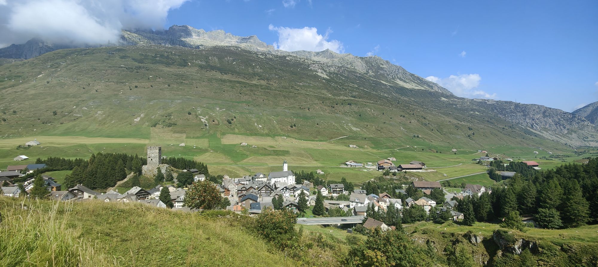
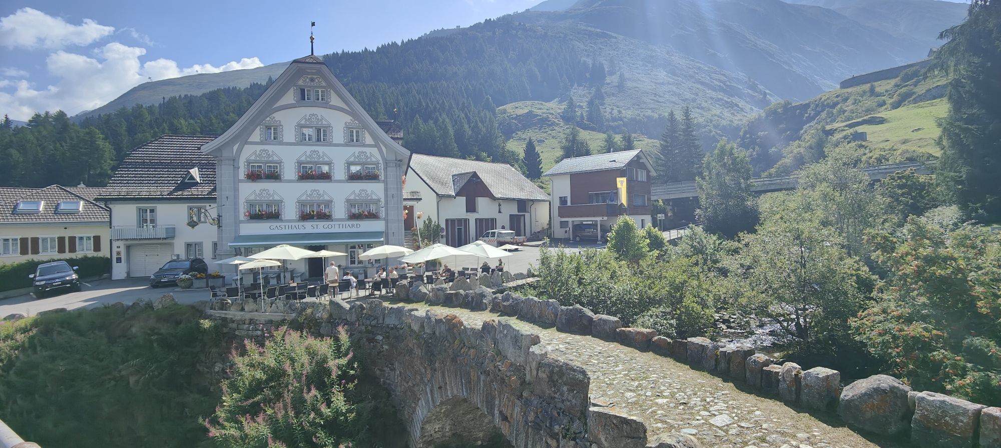
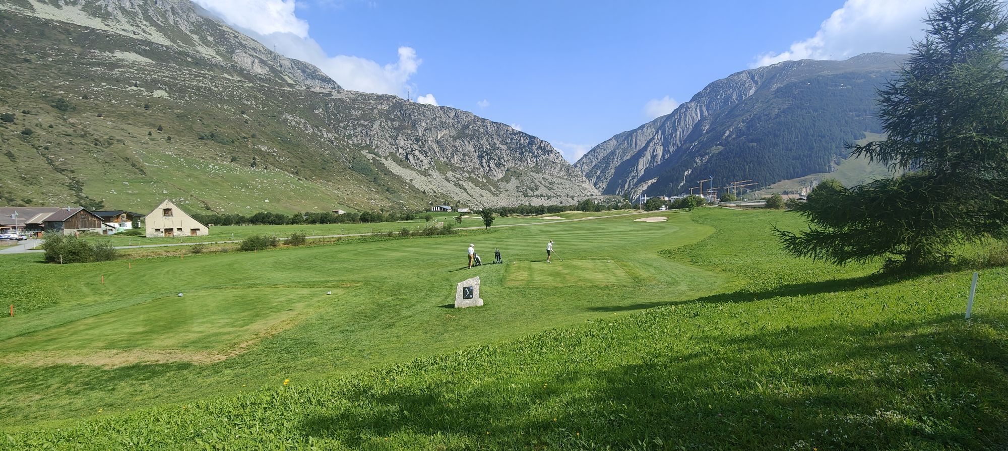
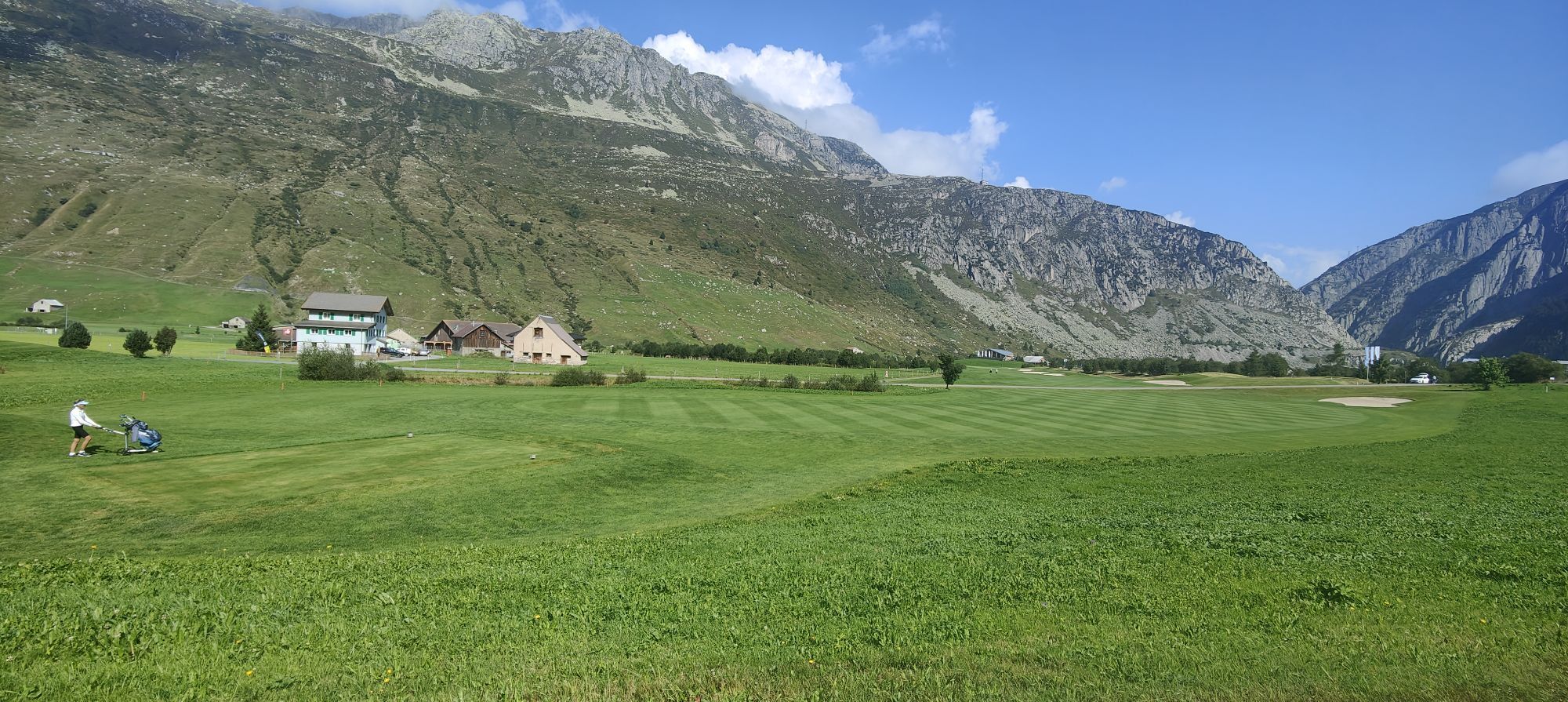
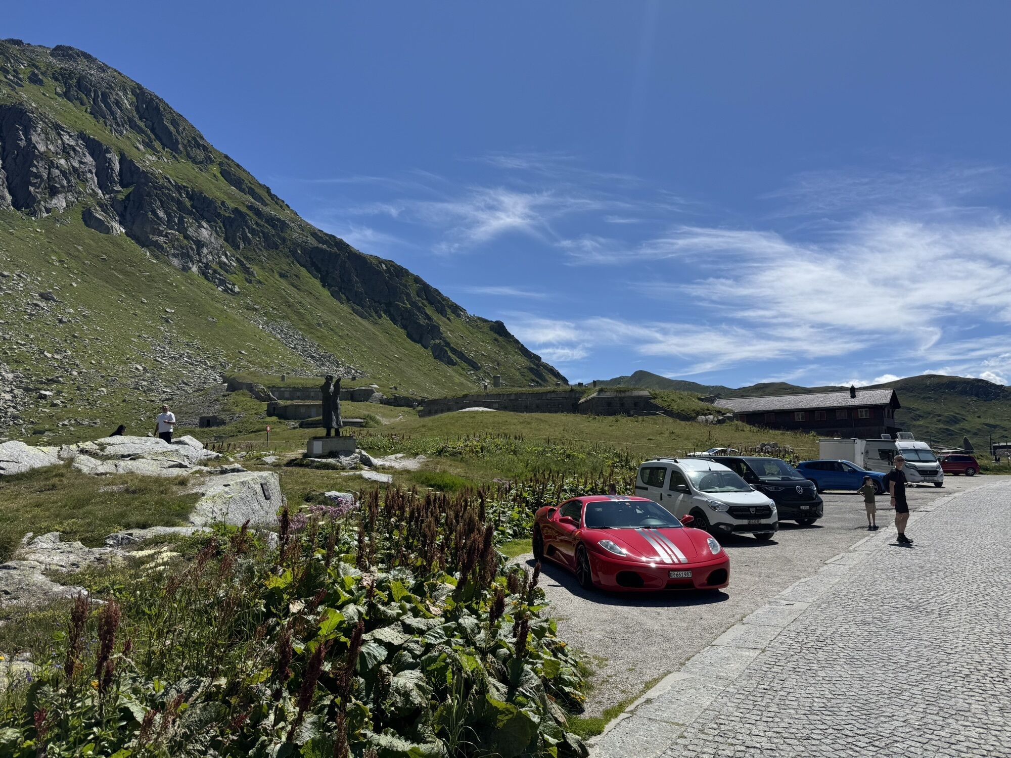
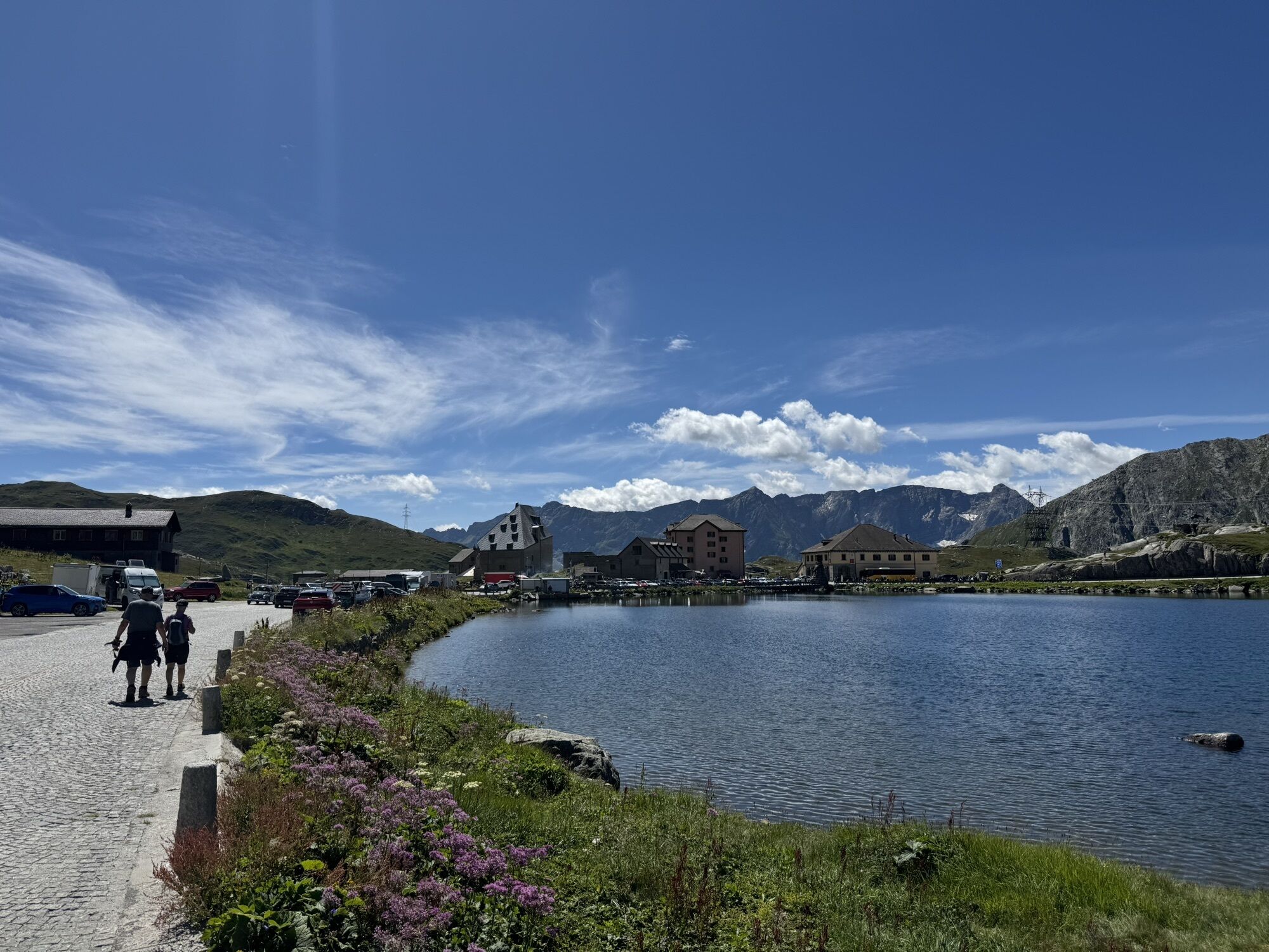
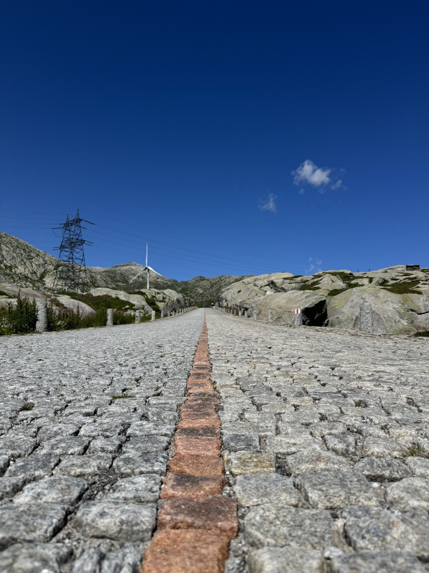
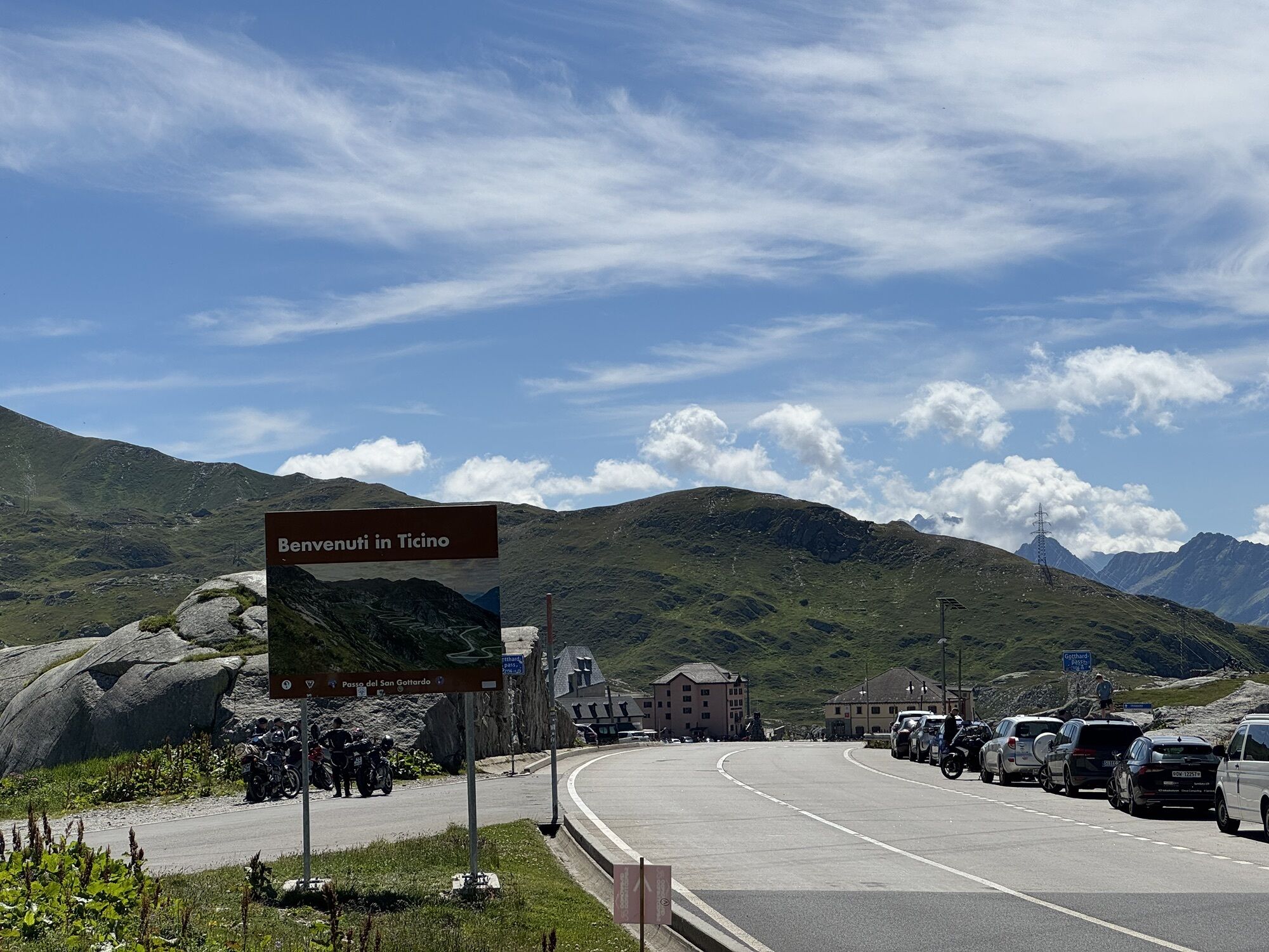
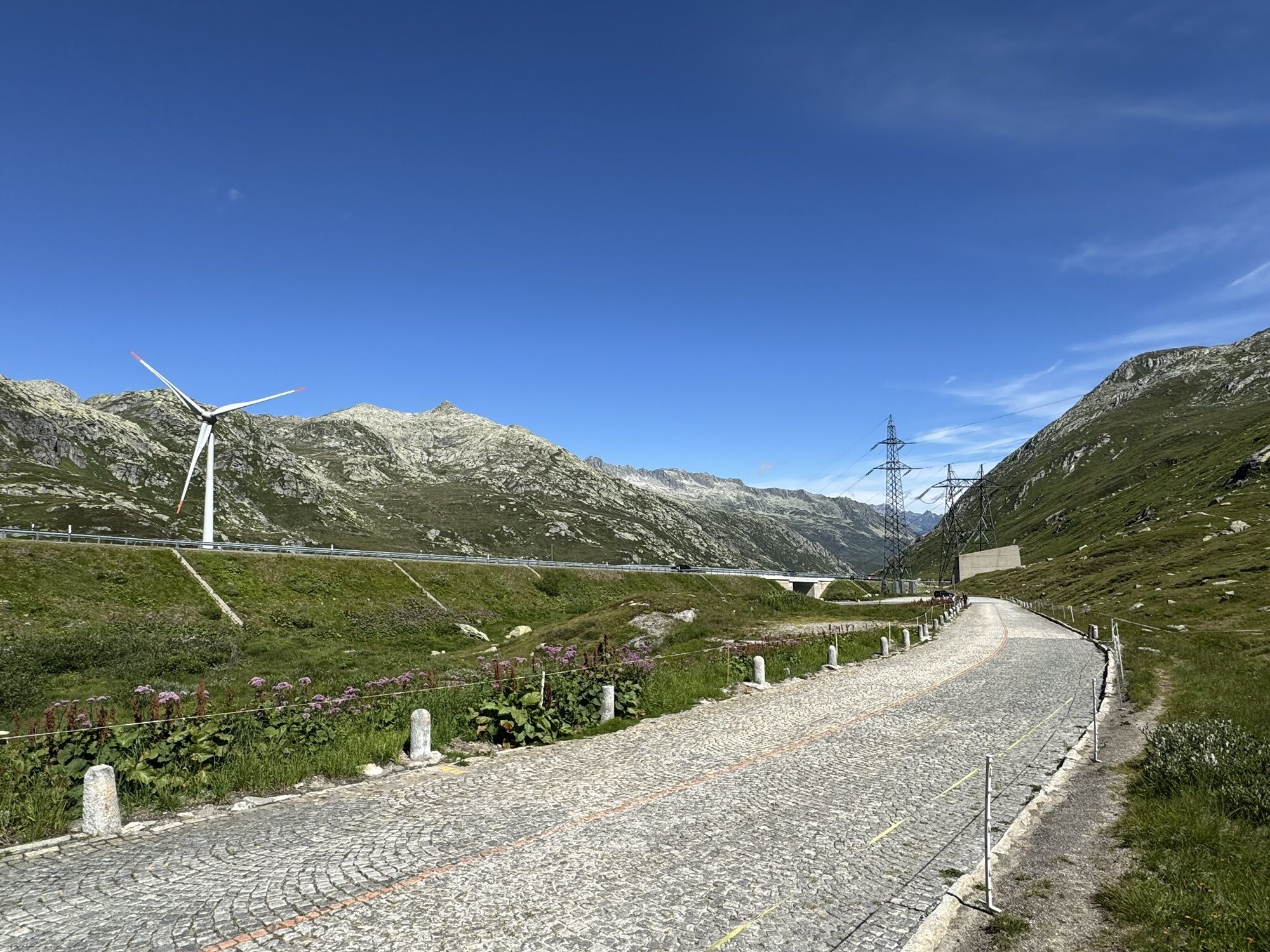
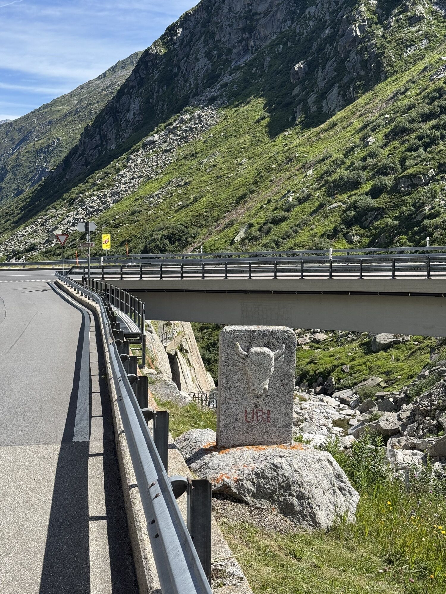
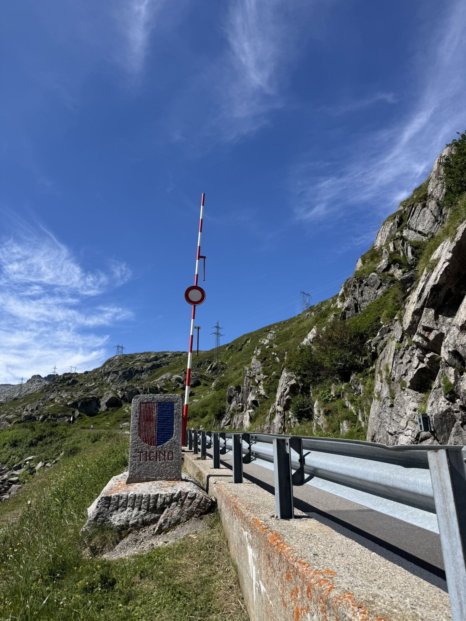
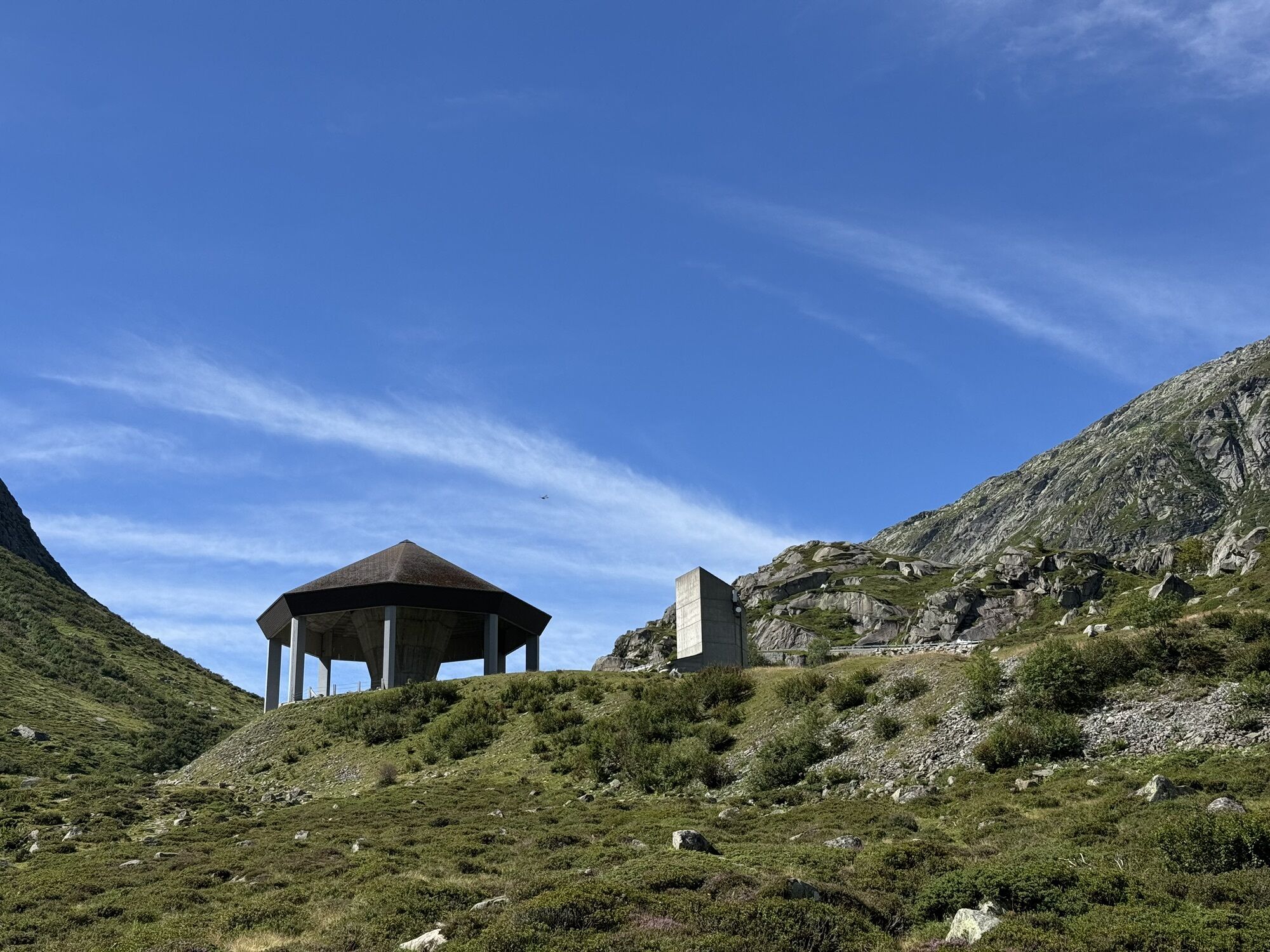
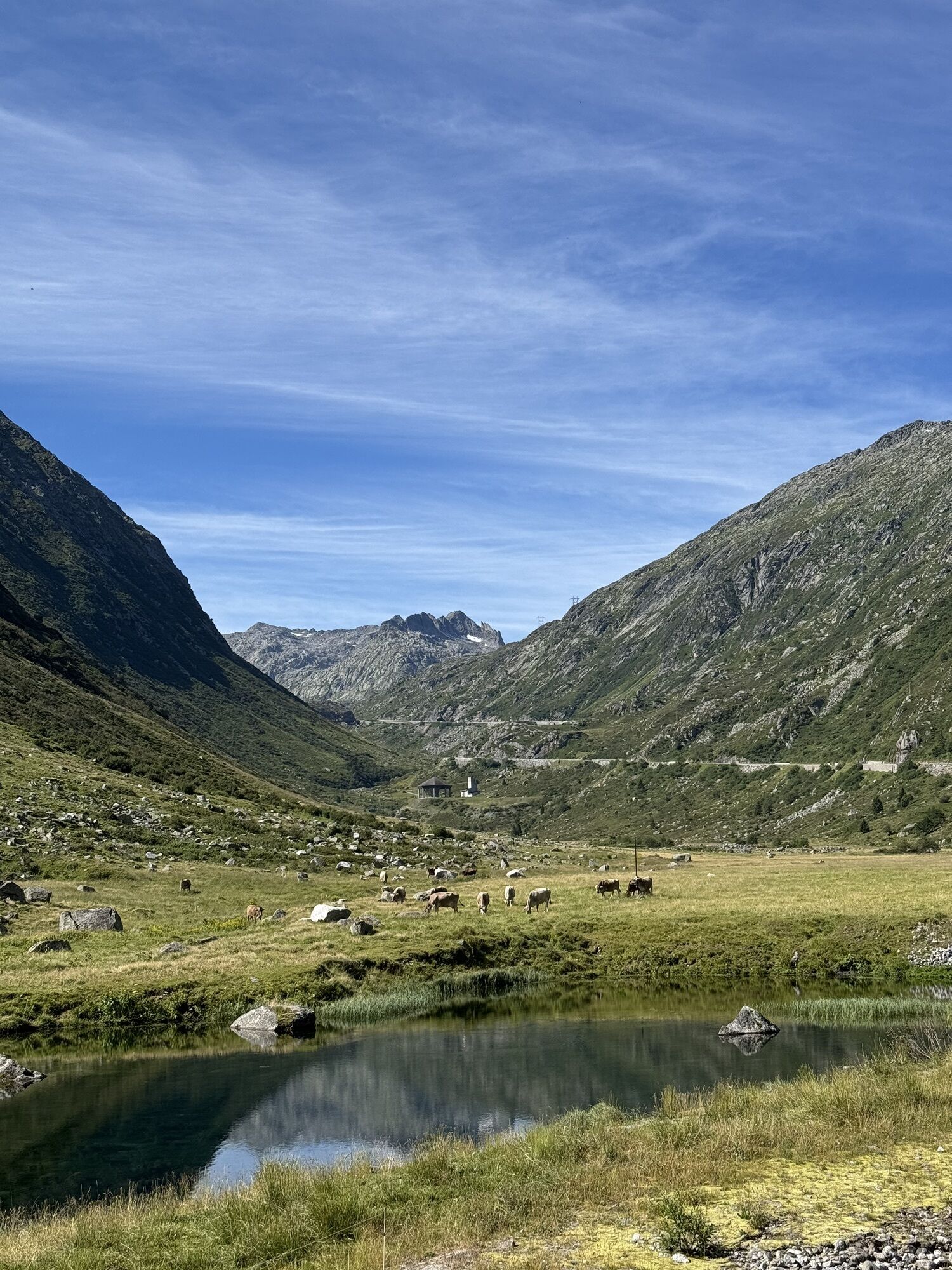
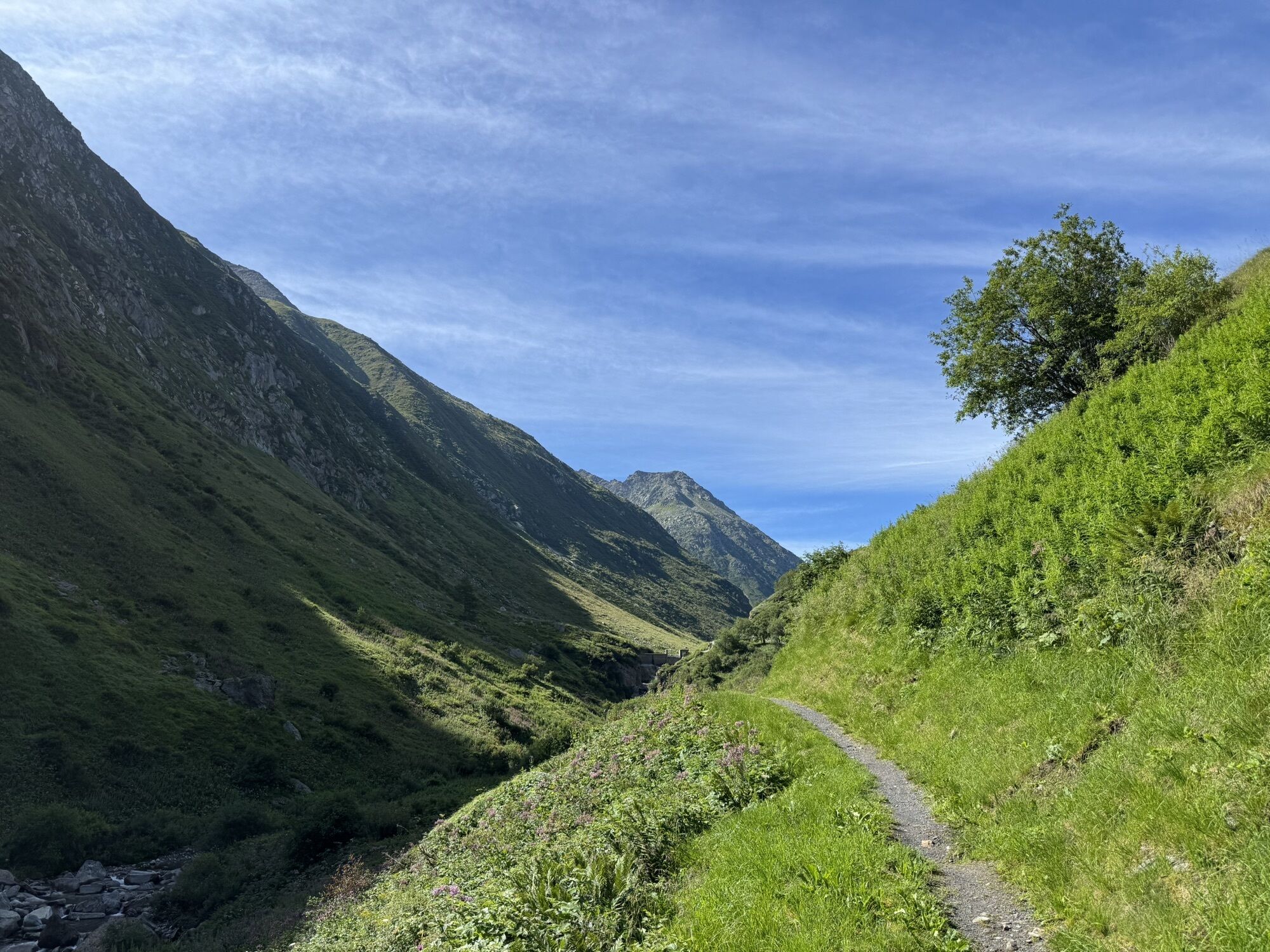
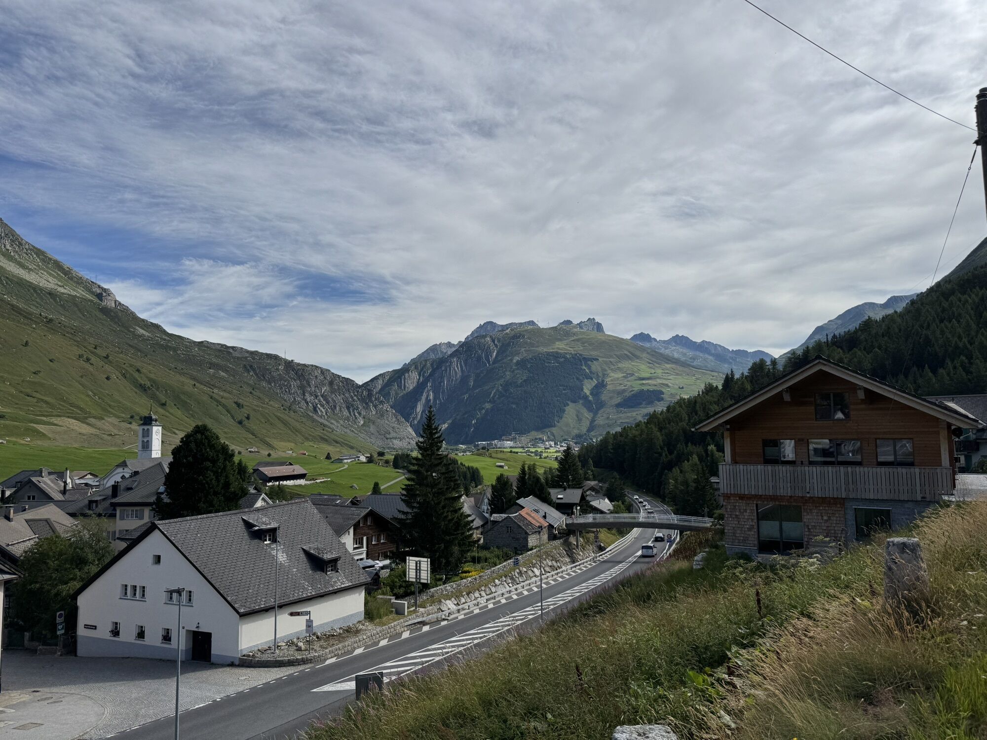
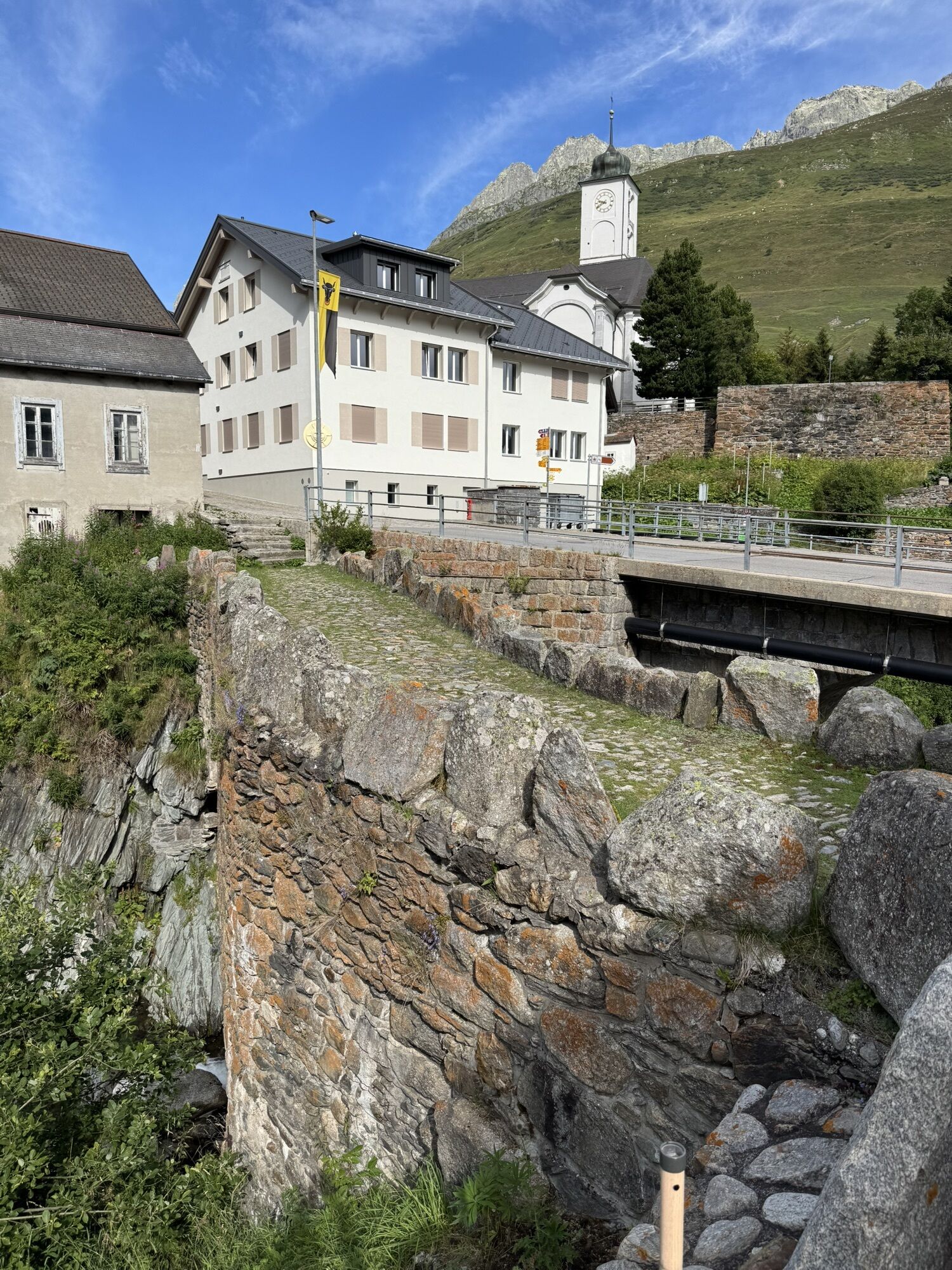
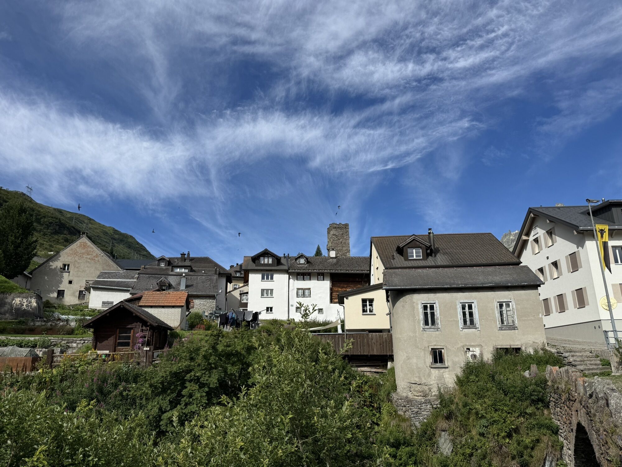
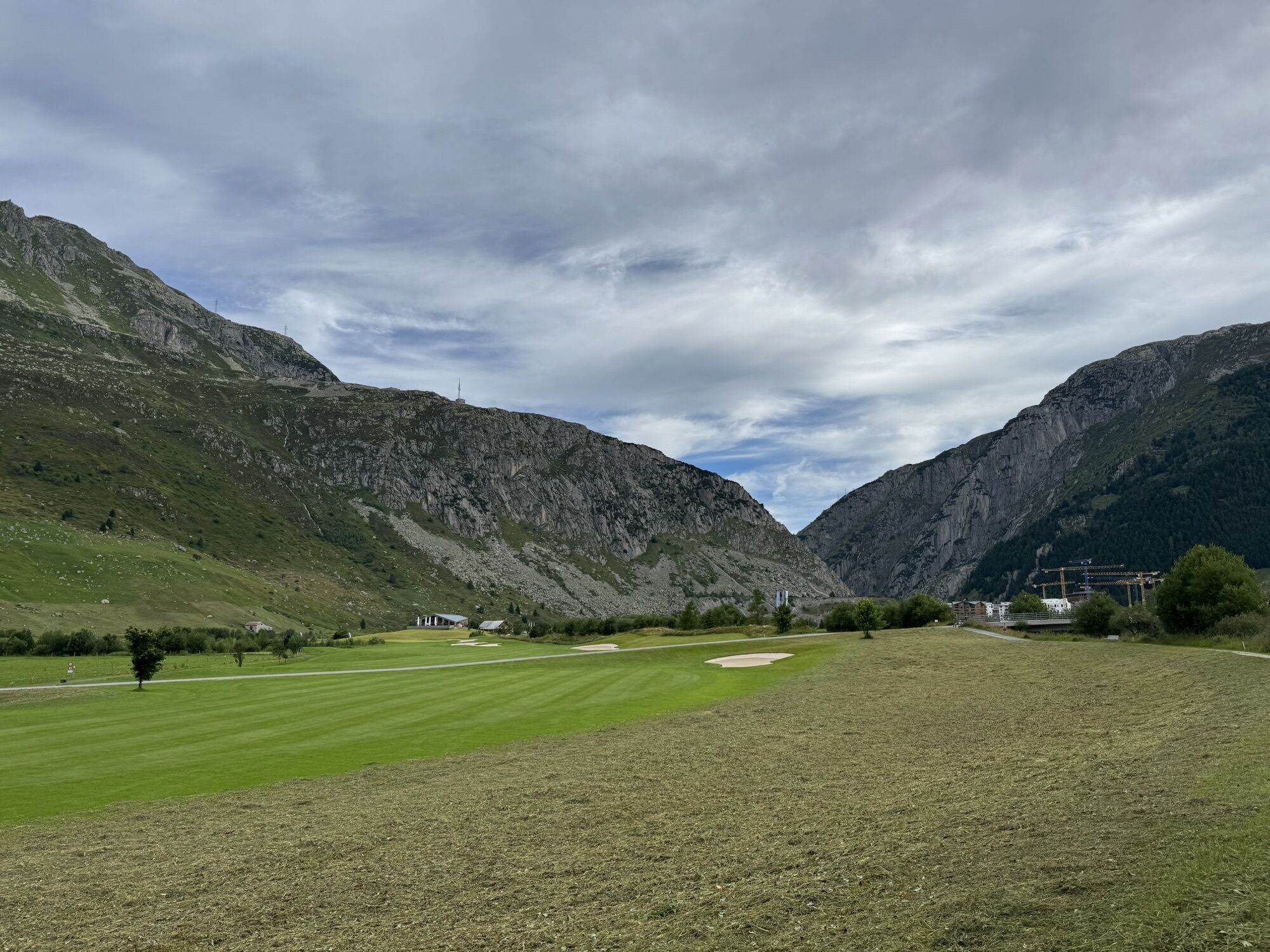
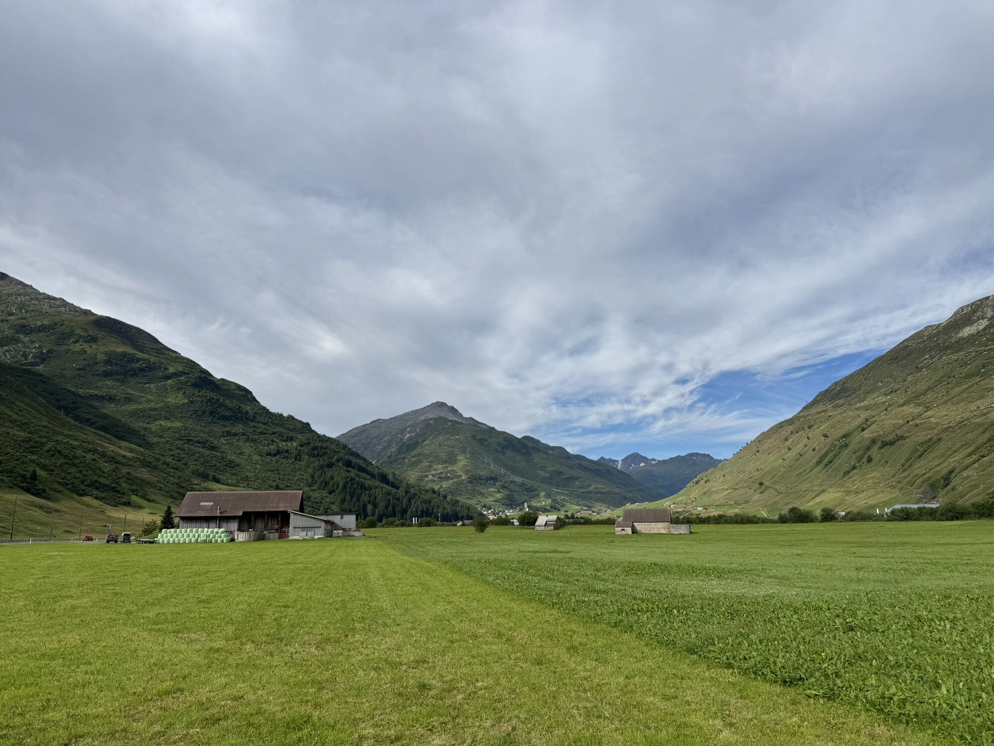
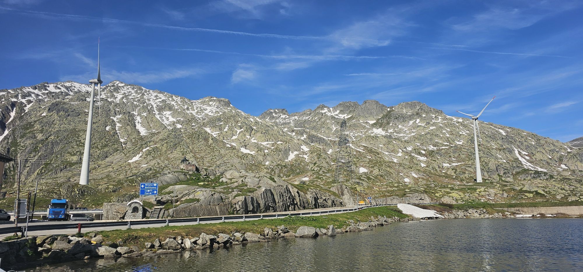
The spectacular crossing of the main Alpine watershed, from Andermatt to Biasca. The Gottardo Bike route includes the famous San Gotthard Pass, the solitary Piora plateau, and the sunny Valle di Blenio.
...The spectacular crossing of the main Alpine watershed, from Andermatt to Biasca. The Gottardo Bike route includes the famous San Gotthard Pass, the solitary Piora plateau, and the sunny Valle di Blenio.
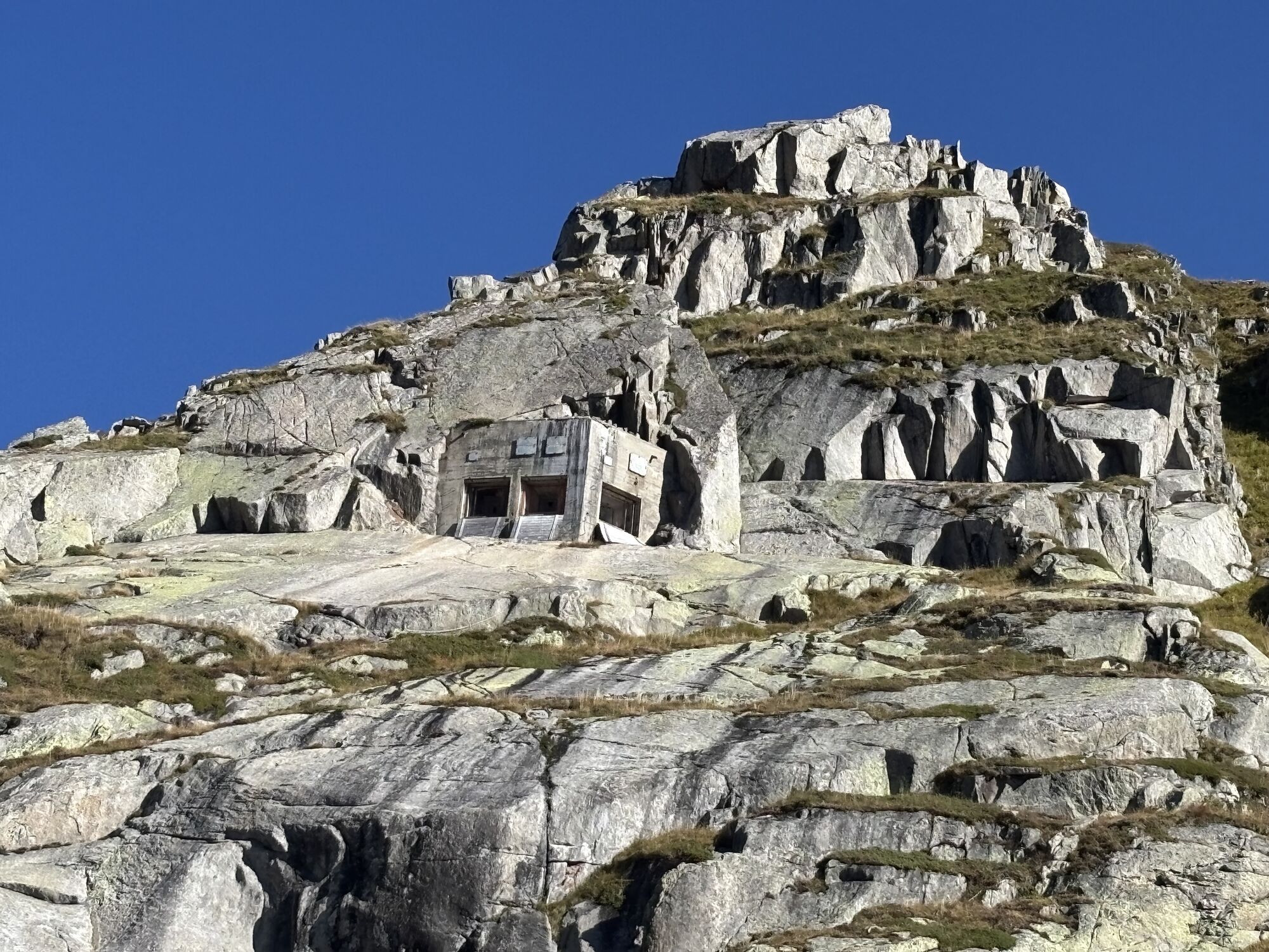
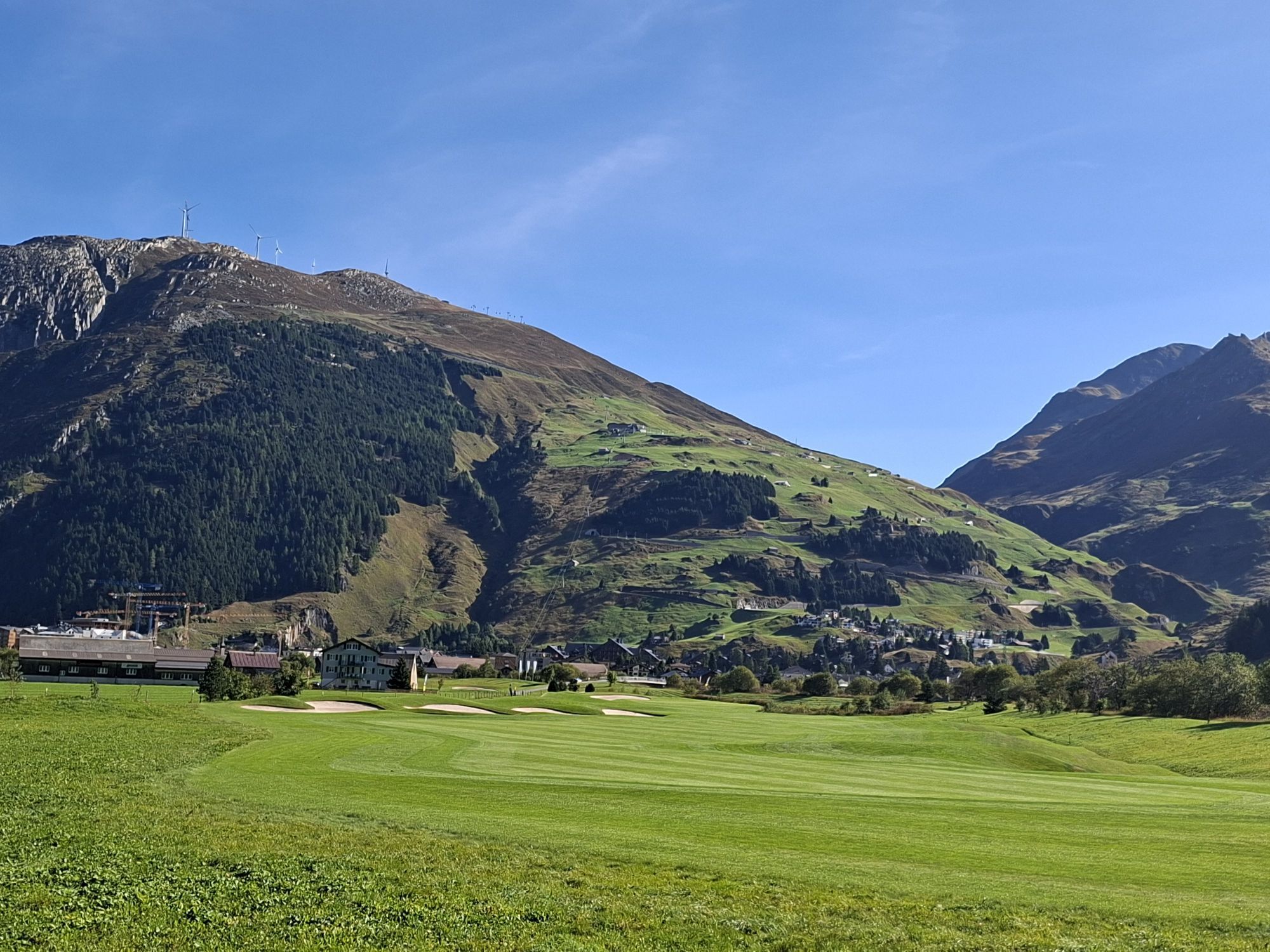
The Gottardo Bike route combines spectacular high-altitude landscapes with a fine lesson in Swiss history. The San Gotthard Pass has been one of the main north-south transit axes for centuries. The underground is a labyrinth of bunkers, a testimony to its military role during the Second World War; various sections of the route are old army access roads.
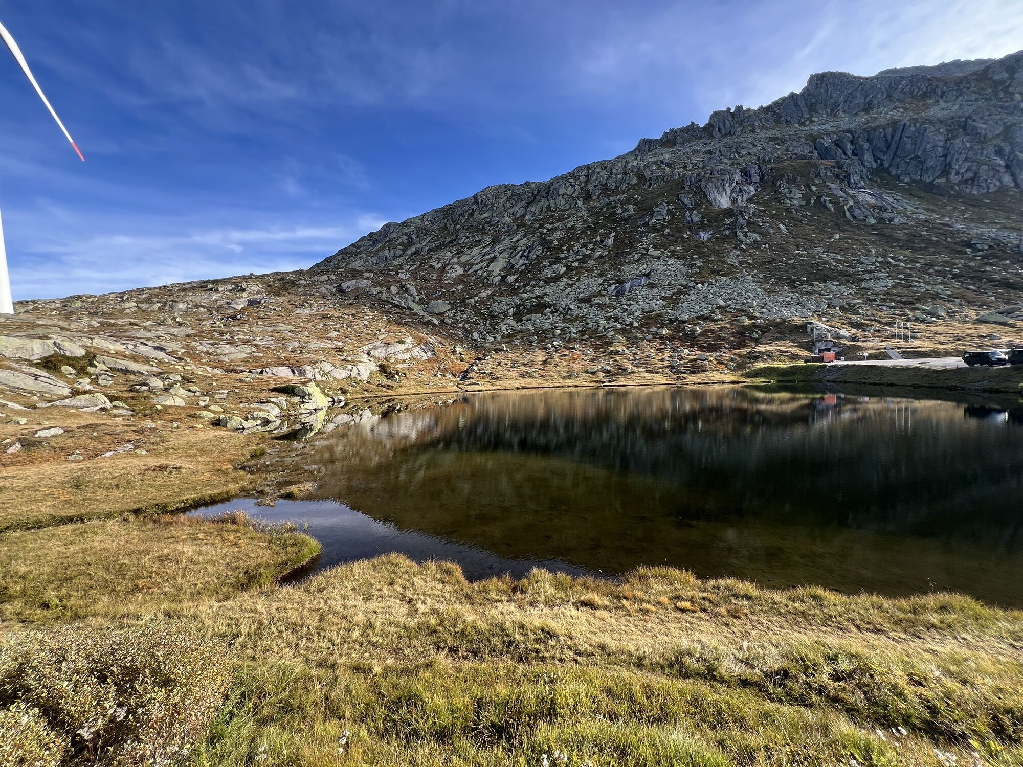
The contrast with Val Piora further south could not be greater: here nature reigns. The charming plateau with its two alpine lakes lies in a rugged high mountain environment. Lake Cadagno also boasts a unique phenomenon in Europe – the lack of mixing between surface and deep waters – and is known to scientists worldwide.
The descent into the Valle di Blenio takes place almost entirely on the old Lucomagno road. In the Middle Ages, until the rise of the Gotthard, the Lucomagno Pass was the main north-south connection. Little frequented, it is one of the most beautiful alpine passes in Switzerland. The section to Olivone passes through large larch forests, very green plateaus, dense spruce woods and is considered one of the most beautiful in upper Ticino.

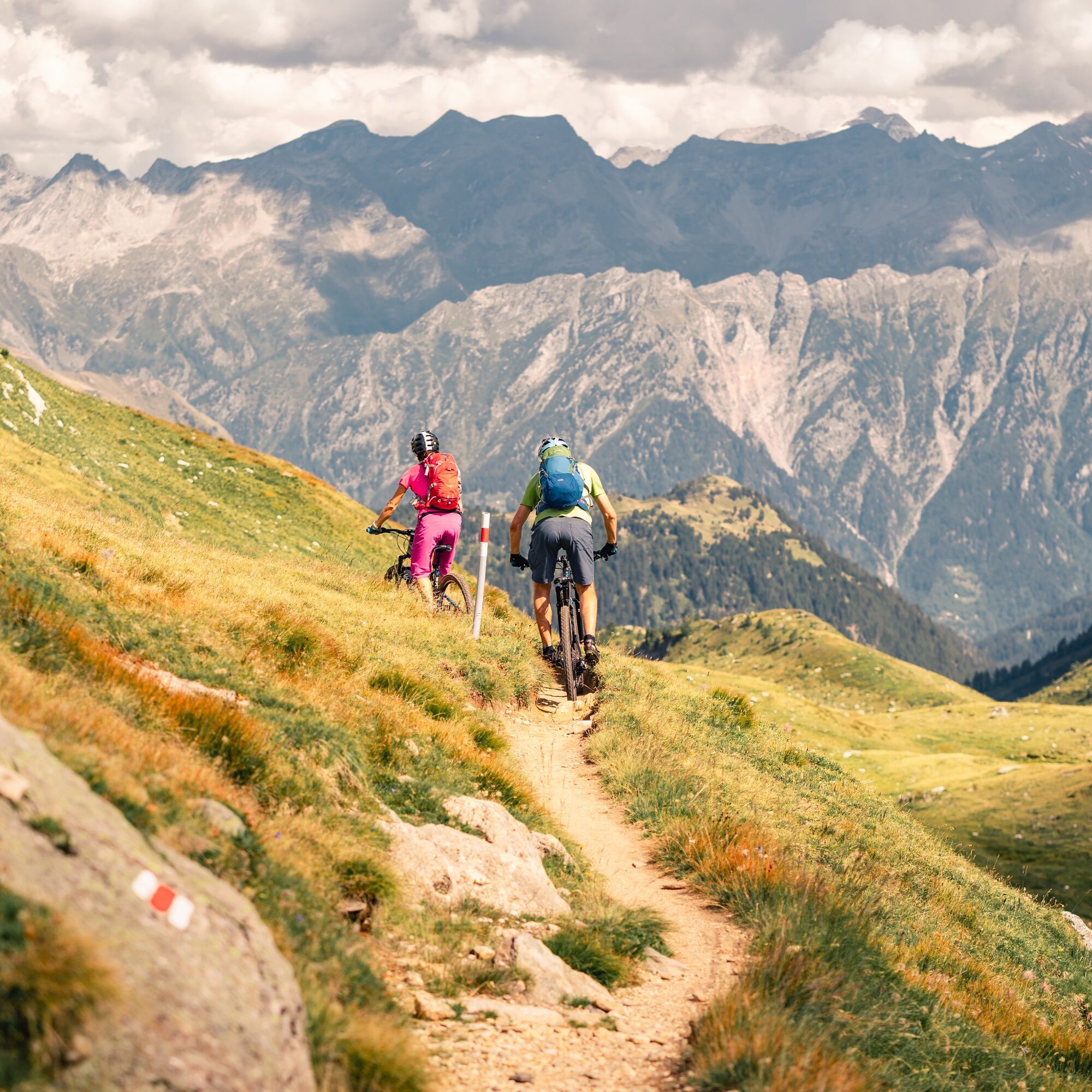
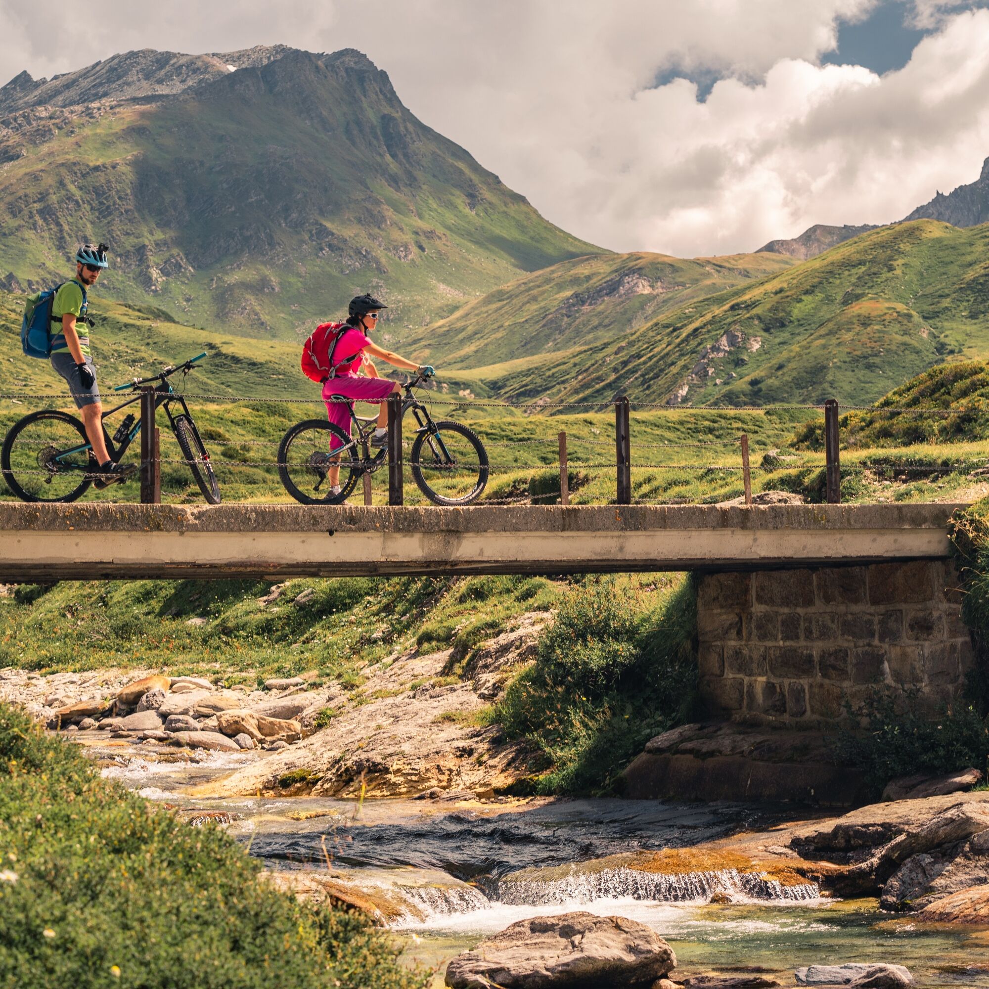
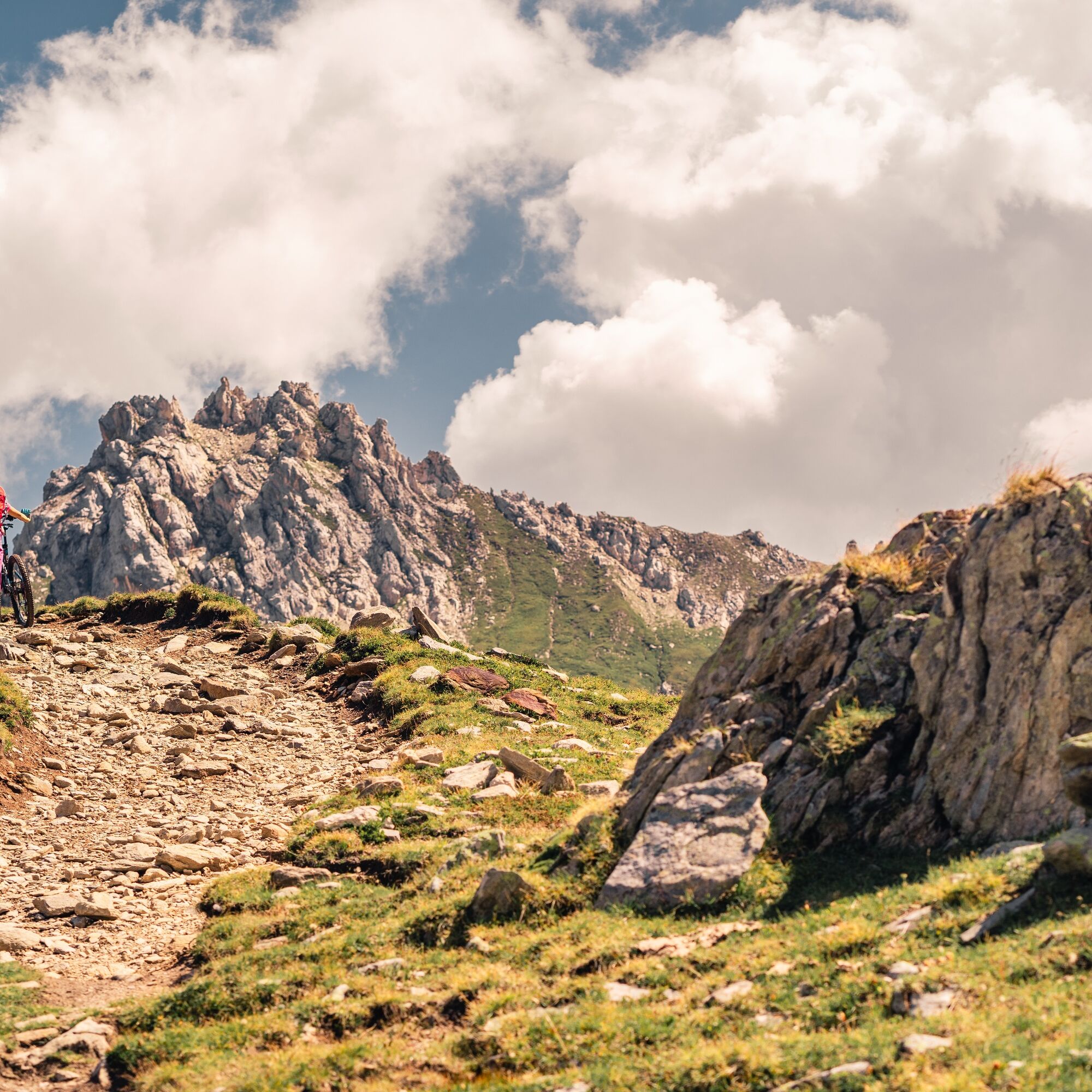

The Gottardo-Bike route combines impressive, high-Alpine landscapes with a detailed lesson in Swiss history. The Gotthardpass has for centuries been one of the most important north-south links and also achieved military significance in World War II. The area is laced with subterranean bunkers, planned to offer refuge in an emergency. Extensive stretches of the route were originally military access roads.
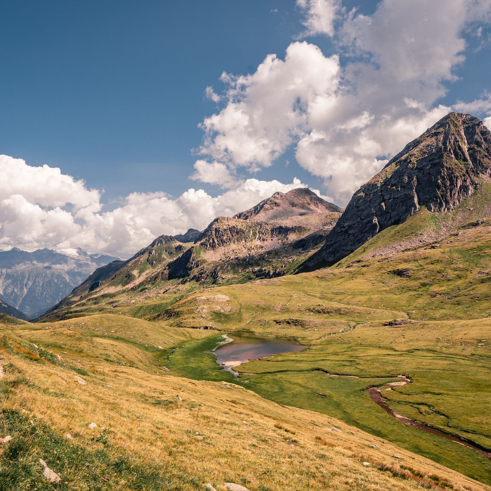
The contrast to the Piora plain further south could not be greater. Here the focus is on nature. The peaceful plain with its two mountain lakes nestles in a rugged high-Alpine landscape. The Lago di Cadagno is actually world-famous among scientists, because there is no seasonal mixing of surface water, unique in Europe.
The descent into Val Blenio mainly follows the old route of the Lukmanier road. In medieval times the Passo del Lucomagno was the most important north-south link until the development of the Gotthard region. Largely unknown, it is one of the most scenic Alpine passes in Switzerland. The route to Olivone leads through open larch groves, over lush green plains, through dense pine forests and counts as one of the most beautiful tours in north Ticino.
Careful planning of routes is the key to enjoying a route. Check the weather and route conditions in advance at local information centres. Depending on the season and weather conditions the route may be closed or interrupted.
From Ticino: A2 motorway, Airolo exit, then Gotthard Pass. Alternative: Highway A2, exit Göschenen then road to Andermatt. From Graubünden: Operalp pass to Andermatt. From Valais: Furka Pass to Andermatt. From the north: A2 motorway, exit Göschenen then the road to Andermatt.
By train to Andermatt.
S1
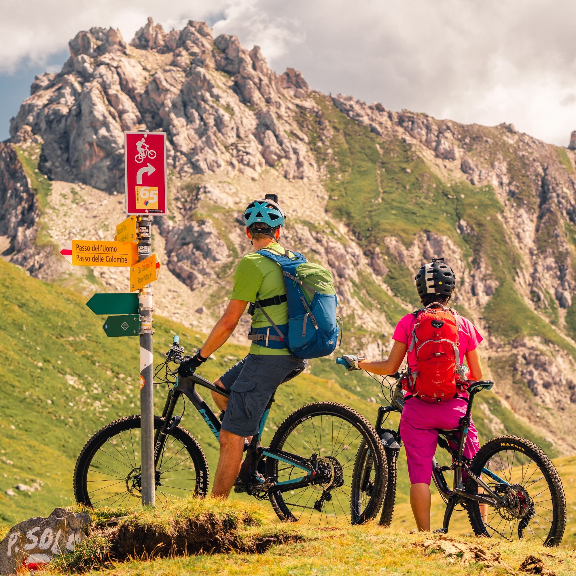
Follow the mountain bike logo shown on the red signs: Gottardo Bike no. 65
Získajte prehľad
Vždy naživo na mieste s viac ako 9 500 webovými kamerami. bergfex Ako používateľ Pro si teraz môžete pozrieť príslušné webové kamery pre mnohé zájazdy v aplikácii zájazdy z. Môžete si tak priamo prezerať aktuálne podmienky.
Obľúbené výlety v okolí
-
5,0
Rheinquelle - Lai da Tuma über den Pazzolastock
strednáTuristika 10,3 km -
4,5
Lakes Orsino, Orsirora and Valletta Route
Turistika 12,8 km -
Rheinquelle - Lai da Tuma
strednáTuristika 5,67 km -
3,8
Piz Cavradi
strednáTuristika 6,48 km -
1,0
Lutersee
strednáTuristika 6,11 km -
4,0
Capanna Piansecco
svetloSnežnice 7,26 km -
von Albert-Heim-Hütte via Nepali Highway und Sidelenhütte nach Furkapass
ťažkédiaľková pešia trasa 8,40 km -
Val Piora lakes route
strednáTuristika 15,8 km -
5,0
Sidelenhütte
svetloTuristika 3,39 km -
Lago del Naret-Sasso Nero-Lago del Naret
strednáTuristika 8,55 km
Turistika a stopovanie


Nenechajte si ujsť ponuky a inšpiráciu na ďalšiu dovolenku
Vaša e-mailová adresa bol pridaný do poštového zoznamu.





