




Ubagua river canyon

Úroveň náročnosti: T2
Linear layout, running through parcel paths, a section of local road, urban area, dirt roads, paths, and trails. Accessibility to motor vehicles on some sections that run on dirt roads and local road....
Linear layout, running through parcel paths, a section of local road, urban area, dirt roads, paths, and trails. Accessibility to motor vehicles on some sections that run on dirt roads and local road. It is considered not particularly dangerous for the hiker. Start at Riezu Camping (800 meters from Riezu), via parcel path connects with the road that goes through Riezu to continue towards Iturgoyen and after crossing the bridge over the Ubagua river, leaves the road turning left to cross an iron gate and follow a path that passes next to the San Blas hermitage, a dam on the Ubagua river, and leads to the spring of the Ubagua river; through a path it goes into the forest and crosses a hanging bridge “Tibetan bridge” over the river. The path climbs parallel to a hawthorn fence and the river on its right bank, while on the left side of the path there is a scree or talus. The path descends until it reaches the river again, now a stream; it is forded leaving a rock mass on the left, and ascends by a path running on the left bank of the stream (looking downstream) describing its route along the canyon floor. Magnificent view towards the canyon cliffs. The path continues ascending and widens into a pine reforestation. An iron gate is crossed and soon reaches a crossroads to Iturgoyen (to the right) and diverts left on the path to Lezaun. The landscape gradually opens among meadows, holm oaks, hawthorns, beeches, and crosses the river again, leaving a watering trough with a fountain to the left. It passes through an iron gate and keeps ascending on a wide dirt road. To the right is the Lezaun wastewater treatment plant. To the left, orchards, fountain, and washhouse, reaching Lezaun. To return to Riezu, follow the same route, being able to observe aspects of the canyon not seen during the ascent to Lezaun.

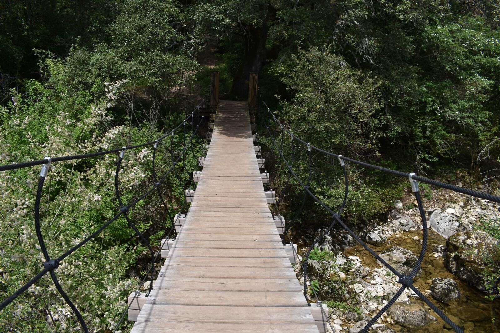
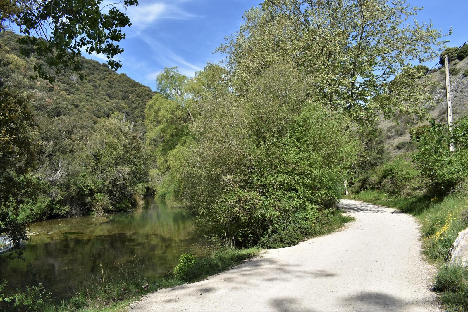
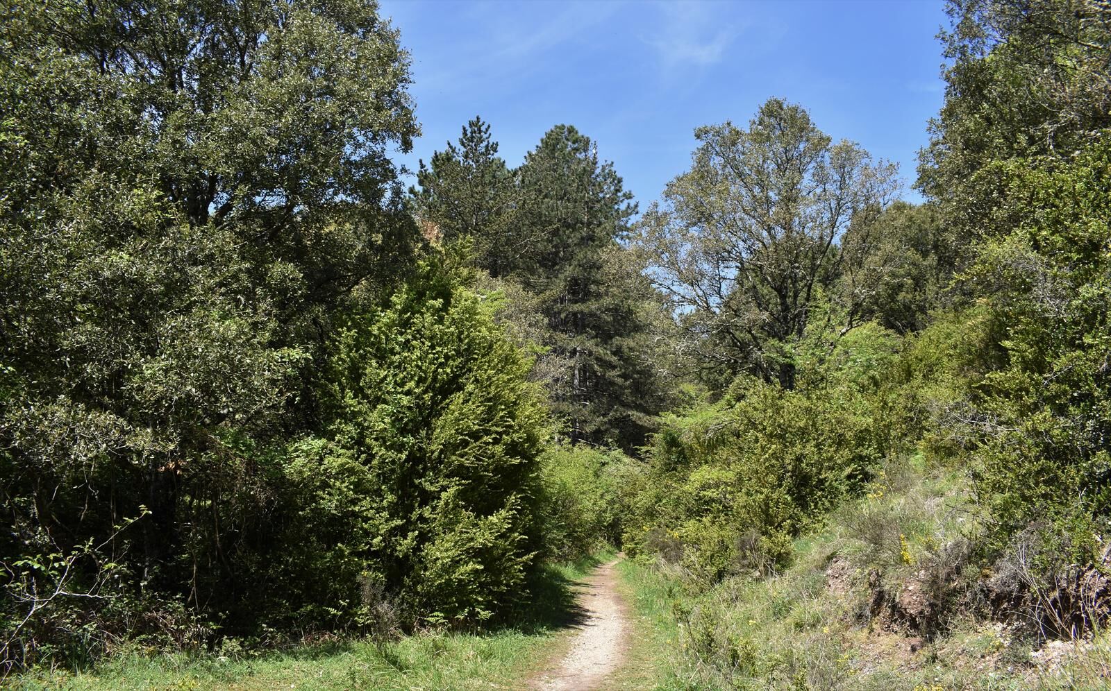

Linear layout, running through parcel paths, a section of local road, urban area, dirt roads, paths, and trails. Accessibility to motor vehicles on some sections of the route that run on dirt roads and local road. It is considered not particularly dangerous for the hiker. Start at Riezu Camping (800 meters from Riezu), via parcel path connects with the road that goes through Riezu to continue towards Iturgoyen and after crossing the bridge over the Ubagua river, leaves the road turning left to cross an iron gate and follow a path that passes next to the San Blas hermitage, a dam on the Ubagua river, and leads to the spring of the Ubagua river; through a path it goes into the forest and crosses a hanging bridge “Tibetan bridge” over the river. The path climbs parallel to a hawthorn fence and the river on its right bank, while on the left side of the path there is a scree or talus. The path descends until it reaches the river again, now a stream; it is forded leaving a rock mass on the left, and ascends by a path running on the left bank of the stream (looking downstream) describing its route along the canyon floor. Magnificent view towards the canyon cliffs. The path continues ascending and widens into a pine reforestation. An iron gate is crossed and soon reaches a crossroads to Iturgoyen (to the right) and diverts left on the path to Lezaun. The landscape gradually opens among meadows, holm oaks, hawthorns, beeches, and crosses the river again, leaving a watering trough with a fountain to the left. It passes through an iron gate and keeps ascending on a wide dirt road. To the right is the Lezaun wastewater treatment plant. To the left, orchards, fountain, and washhouse, reaching Lezaun. To return to Riezu, follow the same route, being able to observe aspects of the canyon not seen during the ascent to Lezaun.
Mountain shoes or boots.
Water and food.
Navigation tools.
Mobile phone.
Backpack.
Multitool or knife (recommended)
Clothing suitable for the weather.
First aid kit.
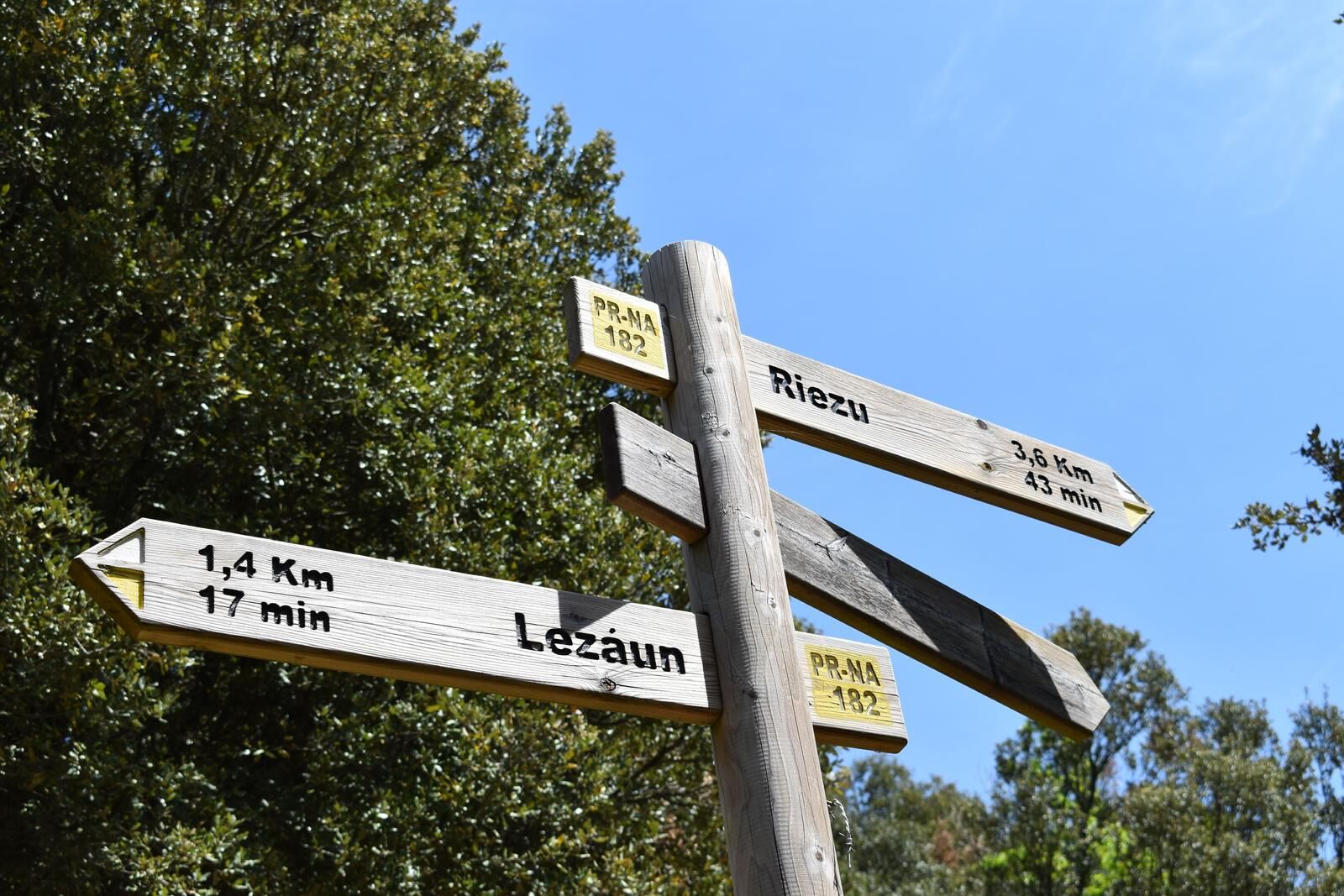
White and yellow markers, and directional posts for Short Routes (PR-NA 182) and another directional one with a yellow base color. Information panels: 3, (1) Riezu Camping, (2) iron gate entrance to the Ubagua Canyon, and (3) at the entrance to Lezaun.
T2
The Yerri Valley has a network of marked trails. More information: https://tierrasdeiranzu.com/es/ocio-y-turismo/rutas-de-senderismo
The Yerri Valley has a network of marked trails. More information: https://tierrasdeiranzu.com/es/ocio-y-turismo/rutas-de-senderismo
Obľúbené výlety v okolí
-
5,0
Urederra Source
strednáTuristika 6 km -
Tour of Alloz by MTB - Camping Aritzaleku Route 7
ťažkéMountainbike 33,2 km -
Battle of Valdejunquera
strednáTuristika 4,63 km -
Lizarraga a Urbasa - Camping Arbizu Cesta 2
ťažkéCestný bicykel 87,4 km -
Hora Beriain a Lizarraga - Camping Arbizu Route 9
ťažkéMountainbike 44,0 km -
Dolmens route. Urbasa-Andia Natural Park
strednáTuristika 12,8 km -
4,3
Estella-Lizarra - Iglesia Evangélica Pentecostal Nuevo Remanente - Villatuerta - Parroquia de Santiago
ťažkéPútnická trasa 23,2 km -
Larraiza, Rulez, Belastegi a Eraul - kemp Artaza Trasa 9
ťažkéMountainbike 46,7 km -
Údolie Ollo a San Miguel de Aralar - kemp Aralar Trasa 3
ťažkéCestný bicykel 112,9 km -
Okolo Etxauri - Camping Aritzaleku Trasa 3
ťažkéCestný bicykel 103,0 km
Turistika a stopovanie


Nenechajte si ujsť ponuky a inšpiráciu na ďalšiu dovolenku
Vaša e-mailová adresa bol pridaný do poštového zoznamu.





