





Dolmens route. Urbasa-Andia Natural Park
Úroveň náročnosti: T2
Circular route that runs through cattle and forest tracks, the Cañada path and trails. Start at the Ubaba parking lot (Sierra de Urbasa). The route begins heading North, without a defined path parallel...
Circular route that runs through cattle and forest tracks, the Cañada path and trails. Start at the Ubaba parking lot (Sierra de Urbasa). The route begins heading North, without a defined path parallel to the road until reaching the track that, heading East, borders the Ubaba or Nacedero Balcony until the Old Baquedano Pass where you can see the Portuzargaina dolmen. The track passes by Narciso’s hut and then, at a fork of tracks, takes the left to cross the Raso de Zelaizarana, where the San Pablo chasm is found, protected by a stone wall, and reach the Raso de Bardoitza, which borders on its more elevated western flank, until it leaves the track to turn left and enter the Cañada path that crosses the beech forest and then turns left along a trail to reach near the Majadas de Arratondo, where the remains of the Cañada dolmen can be seen, not far from the two Armorkoras, Txikia and Aundia, further east. The itinerary continues on a trail turning south and passes by shepherd huts to continue through white thorns and blackthorns until reaching the turnoff by which, following the signs, you reach the Artekosaro dolmen, the best preserved of the Urbasa dolmen site. It returns by the same trail to the previous turnoff and from there the path reenters the Limitations and returns to the Old Baquedano Pass to once again border the Ubaba Balcony, with magnificent panoramic views, and return to the starting point.
(*) Some sections of the route coincide with other trails marked for MTB.

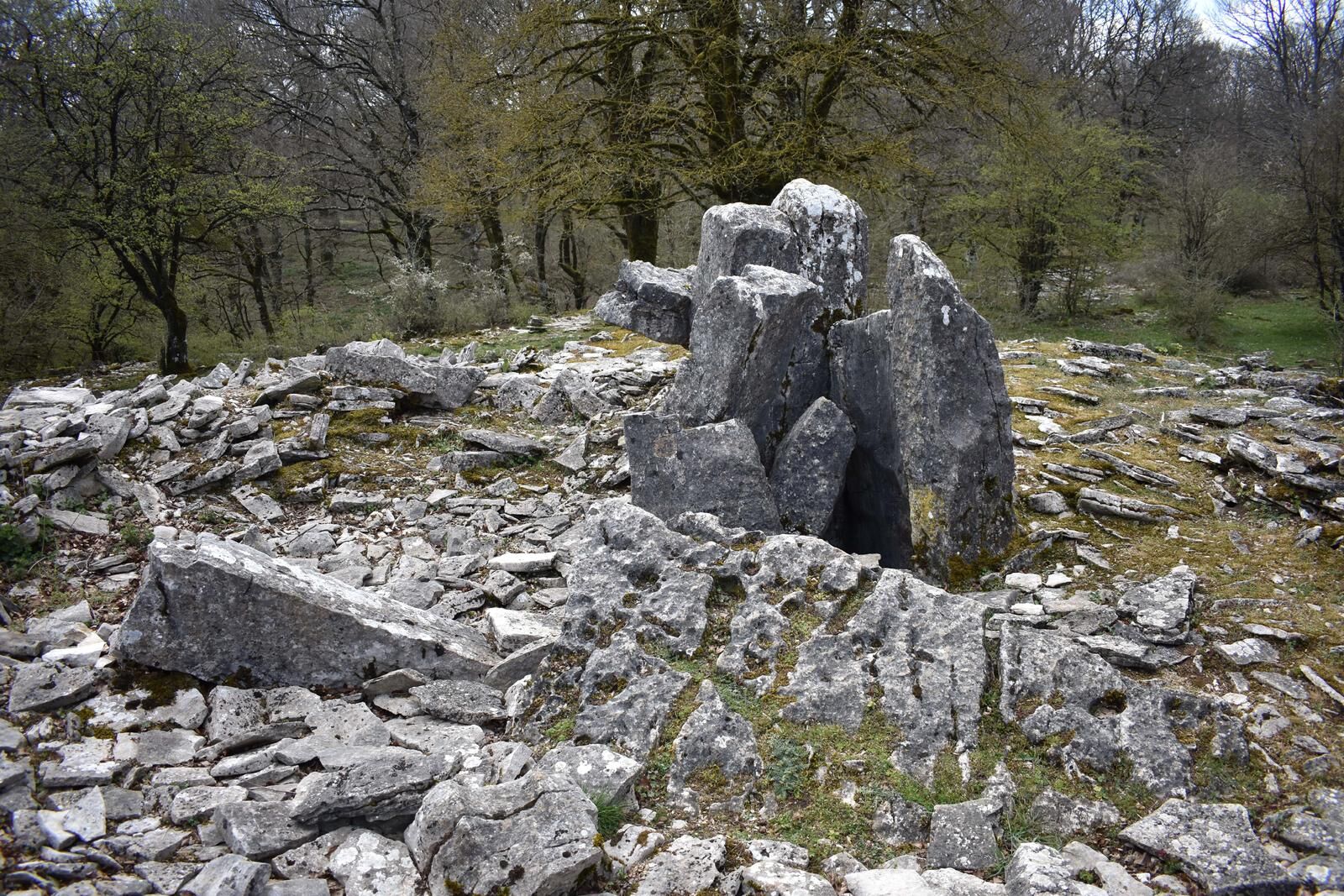
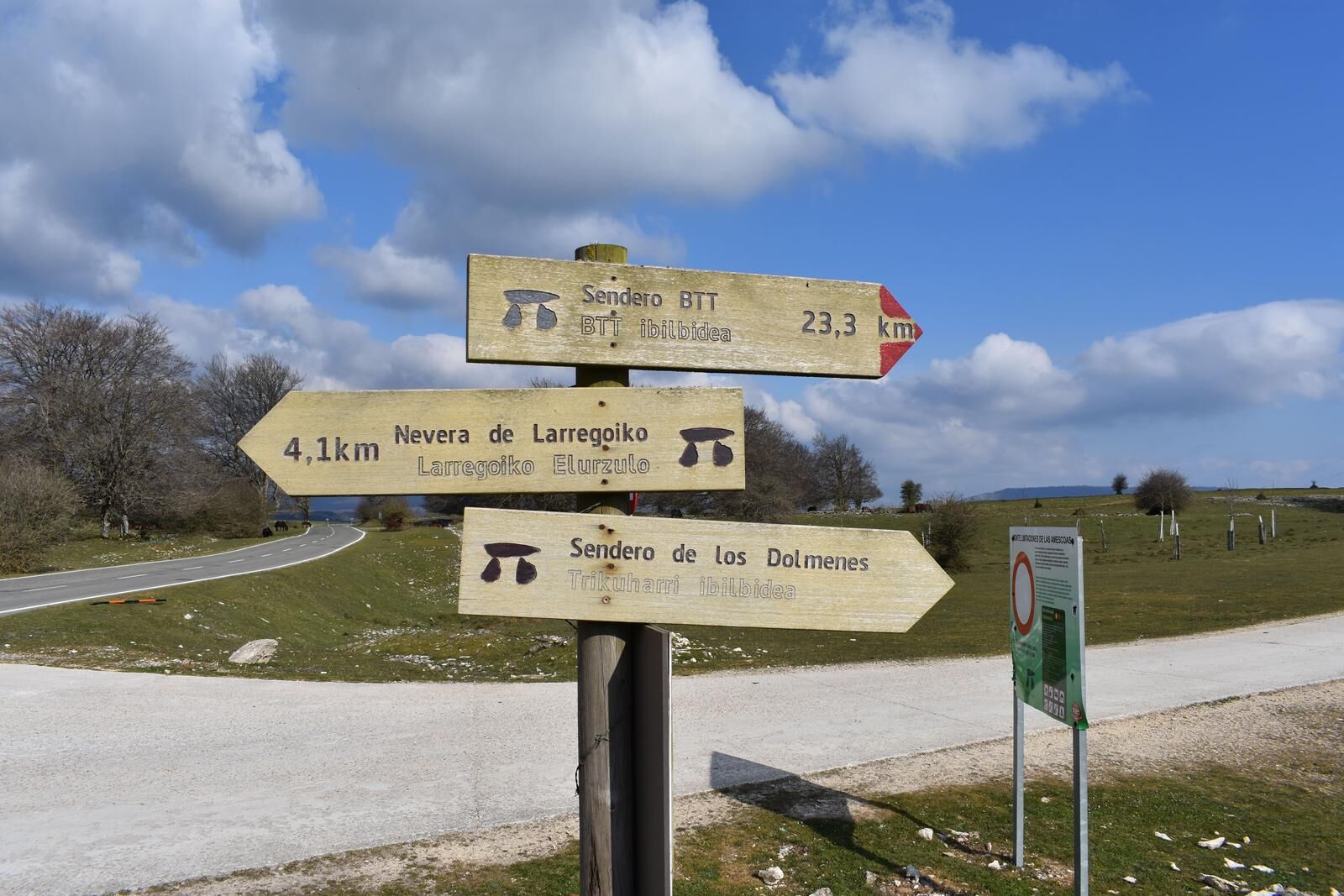
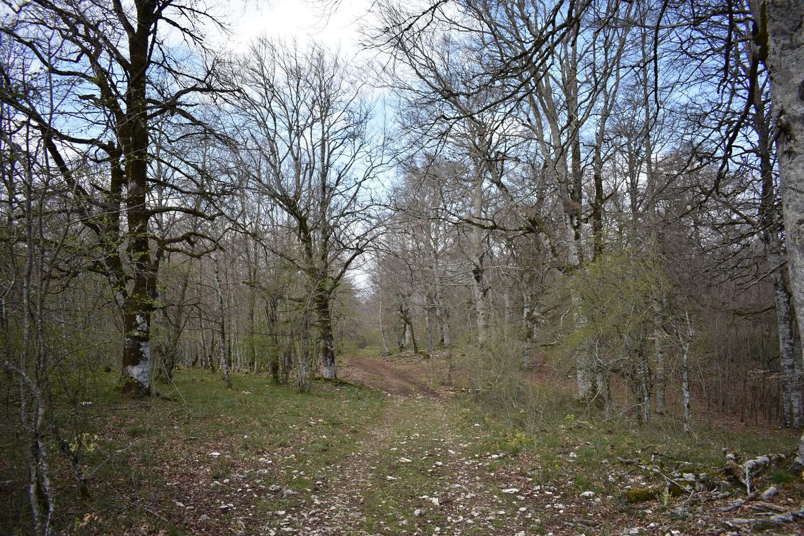
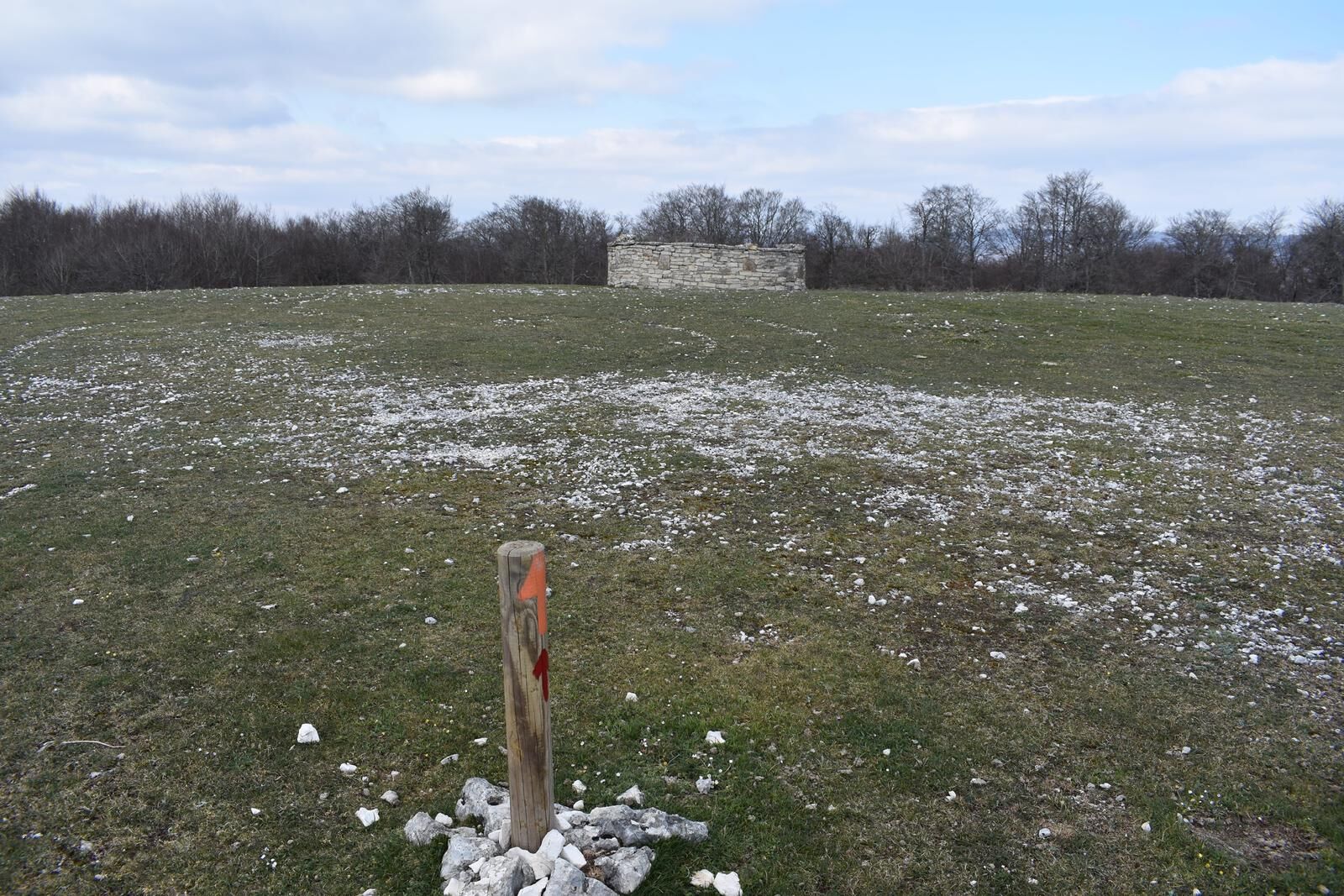

Circular route that runs through cattle and forest tracks, the Cañada path and trails. Start at the Ubaba parking lot (Sierra de Urbasa). The route begins heading North, without a defined path parallel to the road until reaching the track that, heading East, borders the Ubaba or Nacedero Balcony until the Old Baquedano Pass where you can see the Portuzargaina dolmen. The track passes by Narciso’s hut and then, at a fork of tracks, takes the left to cross the Raso de Zelaizarana, where the San Pablo chasm is found, protected by a stone wall, and reach the Raso de Bardoitza, which borders on its more elevated western flank, until it leaves the track to turn left and enter the Cañada path that crosses the beech forest and then turns left along a trail to reach near the Majadas de Arratondo, where the remains of the Cañada dolmen can be seen, not far from the two Armorkoras, Txikia and Aundia, further east. The itinerary continues on a trail turning south and passes by shepherd huts to continue through white thorns and blackthorns until reaching the turnoff by which, following the signs, you reach the Artekosaro dolmen, the best preserved of the Urbasa dolmen site. It returns by the same trail to the previous turnoff and from there the path reenters the Limitations and returns to the Old Baquedano Pass to once again border the Ubaba Balcony, with magnificent panoramic views, and return to the starting point.
(*) Some sections of the route coincide with other trails marked for MTB.
Áno
Hiking shoes or boots.
Water and food.
Navigation tools.
Mobile phone.
Backpack.
Multi-tool or knife (recommended)
Clothing suitable for the weather.
First aid kit.
Trail marked as a park trail with an orange arrow, and with directional posts and some wooden cairns marked.
T2
The Urbasa and Andia Natural Park has a network of marked trails. More information: www.amescoa.com/es/que-ver-y-hacer-en-amescoa/turismo-activo/senderismo www.parquedeurbasa.es
The Urbasa and Andia Natural Park has a network of marked trails. More information: www.amescoa.com/es/que-ver-y-hacer-en-amescoa/turismo-activo/senderismo www.parquedeurbasa.es
Obľúbené výlety v okolí
-
5,0
Urederra Source
strednáTuristika 6 km -
Tour of Alloz by MTB - Camping Aritzaleku Route 7
ťažkéMountainbike 33,2 km -
Millenary Oaks
strednáTuristika 4,58 km -
Dolmens route. Etxarri Aranatz
strednáTuristika 13,8 km -
Lizarraga a Urbasa - Camping Arbizu Cesta 2
ťažkéCestný bicykel 87,4 km -
Hora Beriain a Lizarraga - Camping Arbizu Route 9
ťažkéMountainbike 44,0 km -
Valdega, Allín, and Améscoas - Camping Acedo Route 2
strednáCestný bicykel 77,7 km -
Ubagua river canyon
strednáTuristika 5,73 km -
Larraiza, Rulez, Belastegi a Eraul - kemp Artaza Trasa 9
ťažkéMountainbike 46,7 km -
Lokiz a Uiarra - Camping Artaza Route 8
strednáMountainbike 31,2 km
Turistika a stopovanie


Nenechajte si ujsť ponuky a inšpiráciu na ďalšiu dovolenku
Vaša e-mailová adresa bol pridaný do poštového zoznamu.





