Navigácia na stránke
Získajte túto prehliadku v mobilnom telefóne
Mapa
Via Trinitatis +
ťažké
Pútnická trasa
109,32 km
Naskenujte kód QR a spustite navigáciu v aplikácii bergfex
QR Code
Turistika a stopovanie

Via Trinitatis +

Vzdialenosť
109,32 km
Trvanie
37:30 h
Ascent
3 047 hm
Hladina mora
302 - 958 m
Stiahnutie skladby
Mapa
Via Trinitatis +
ťažké
Pútnická trasa
109,32 km

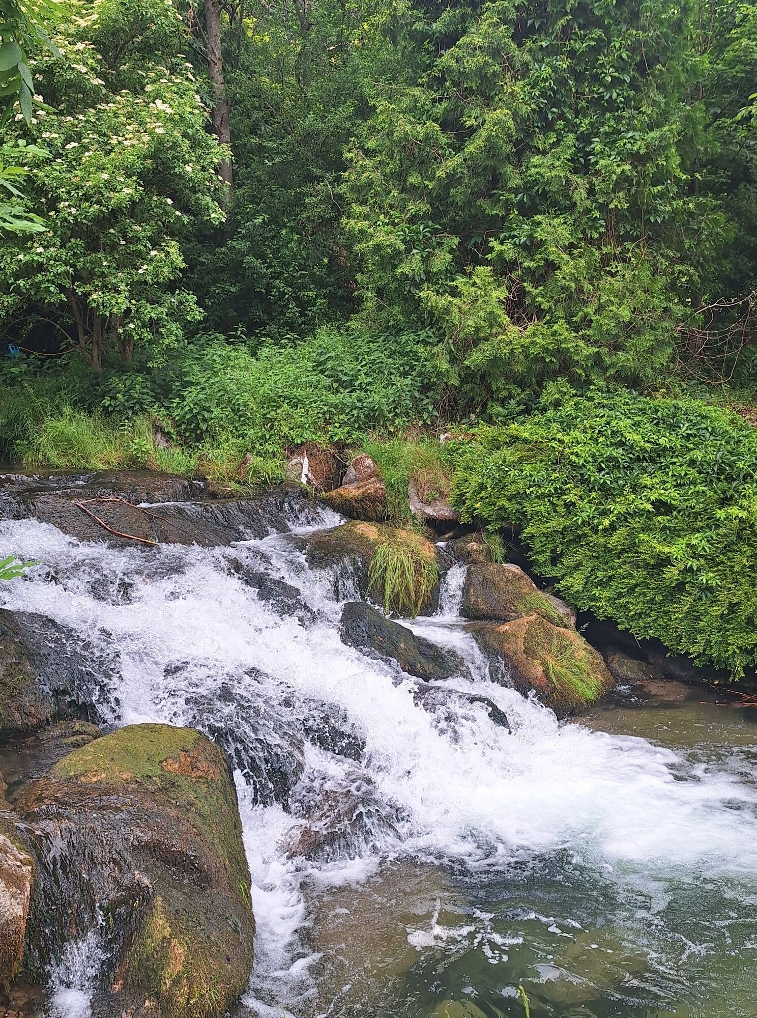
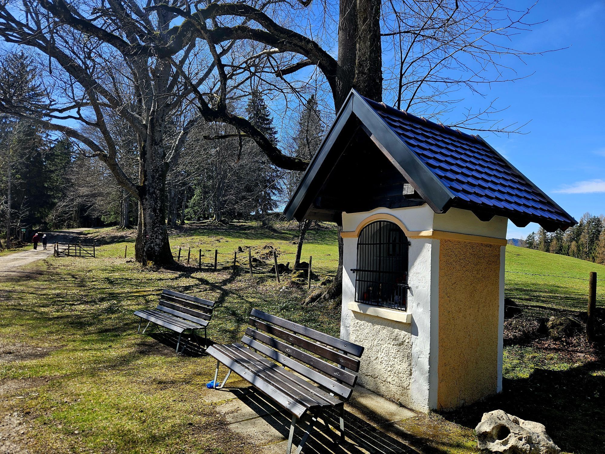
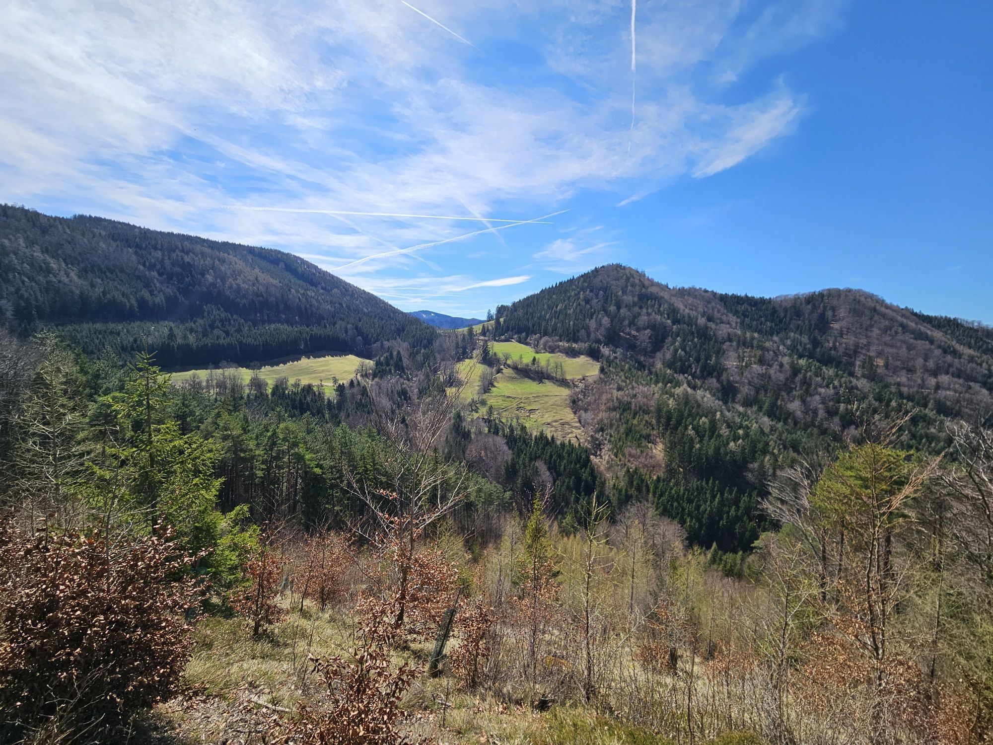
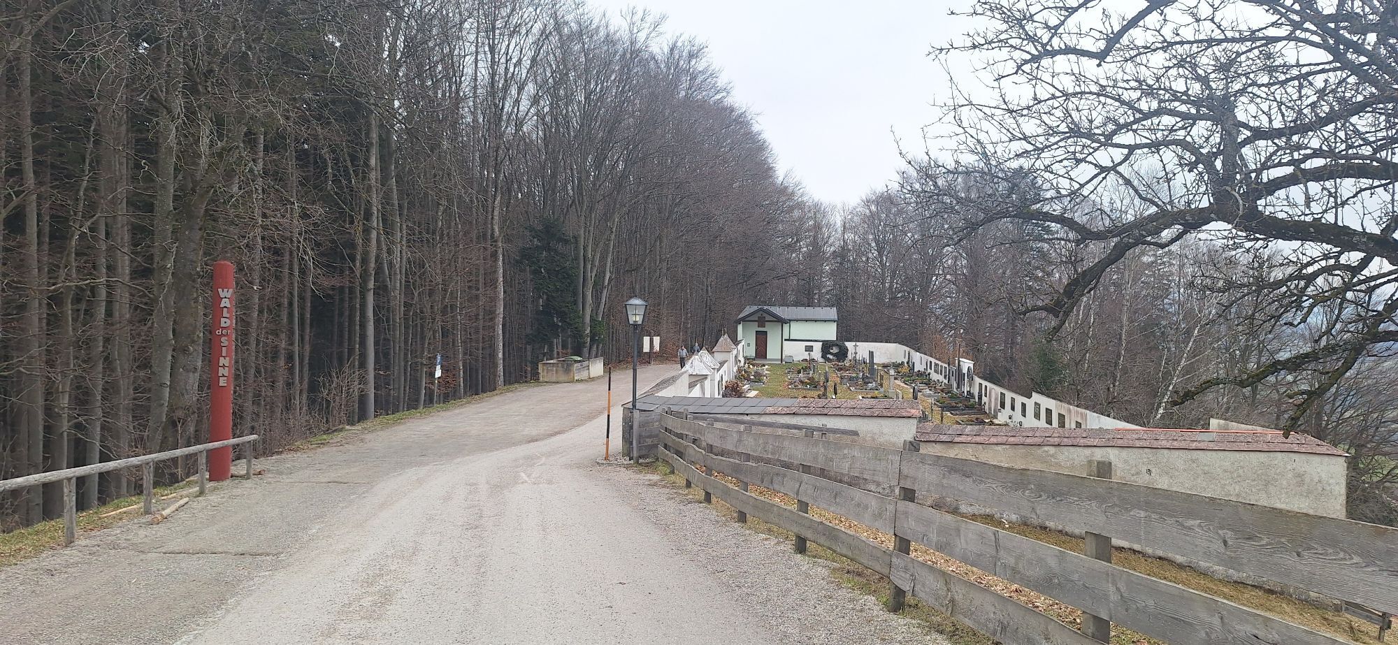
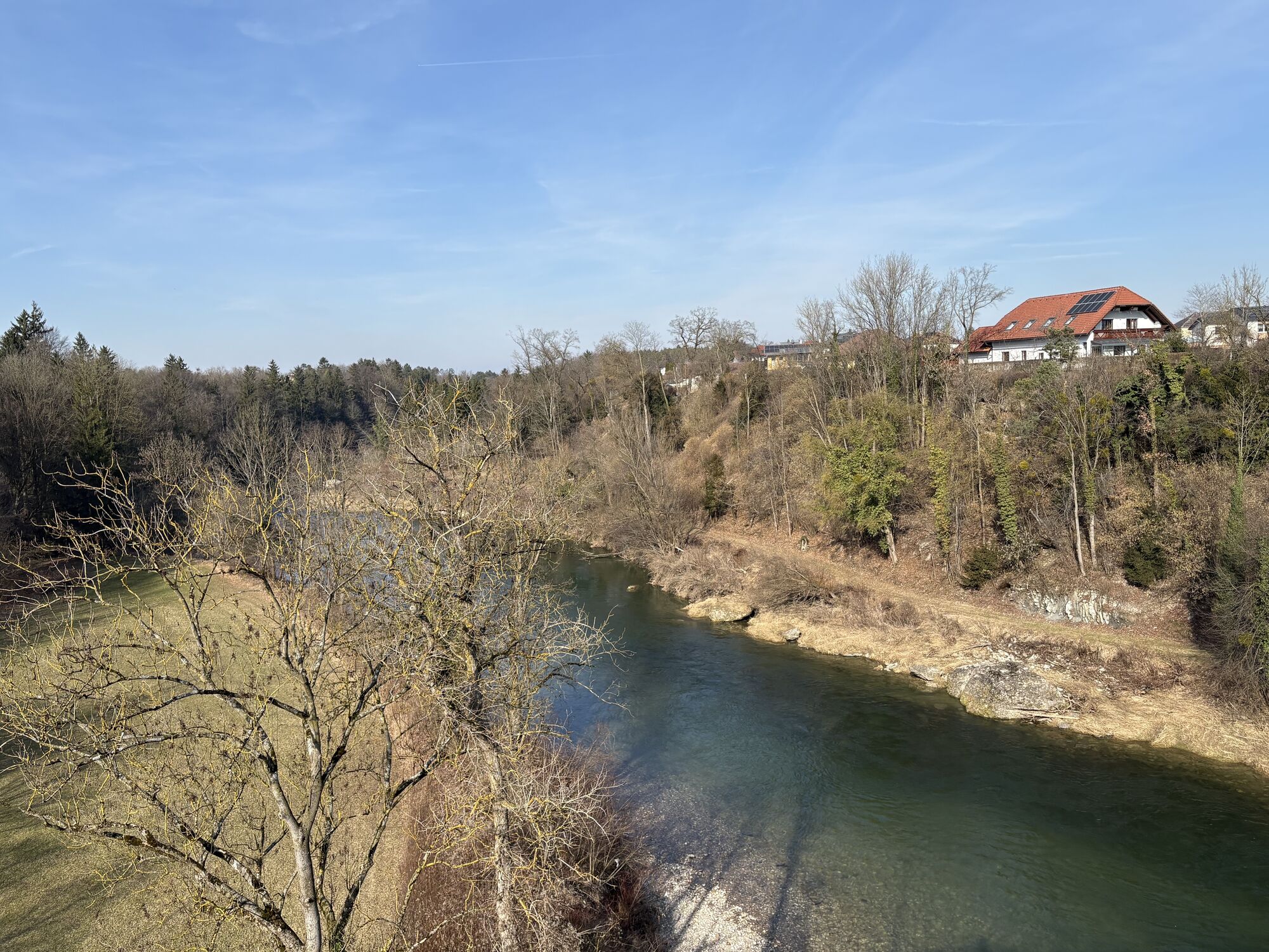
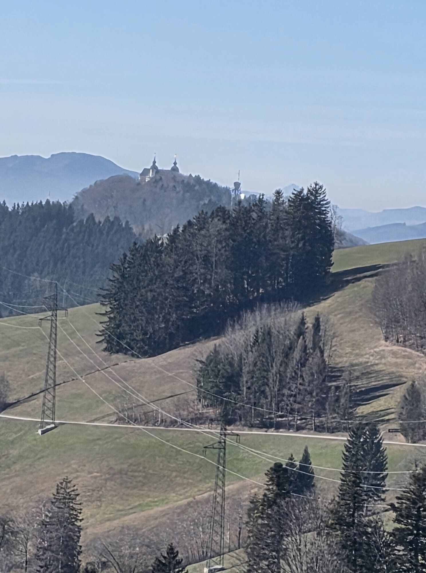
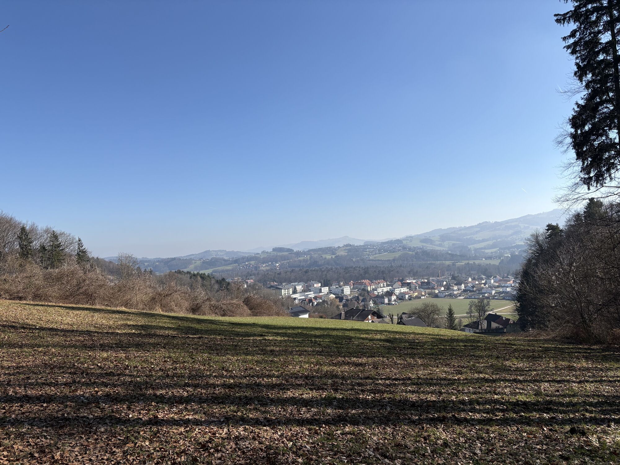
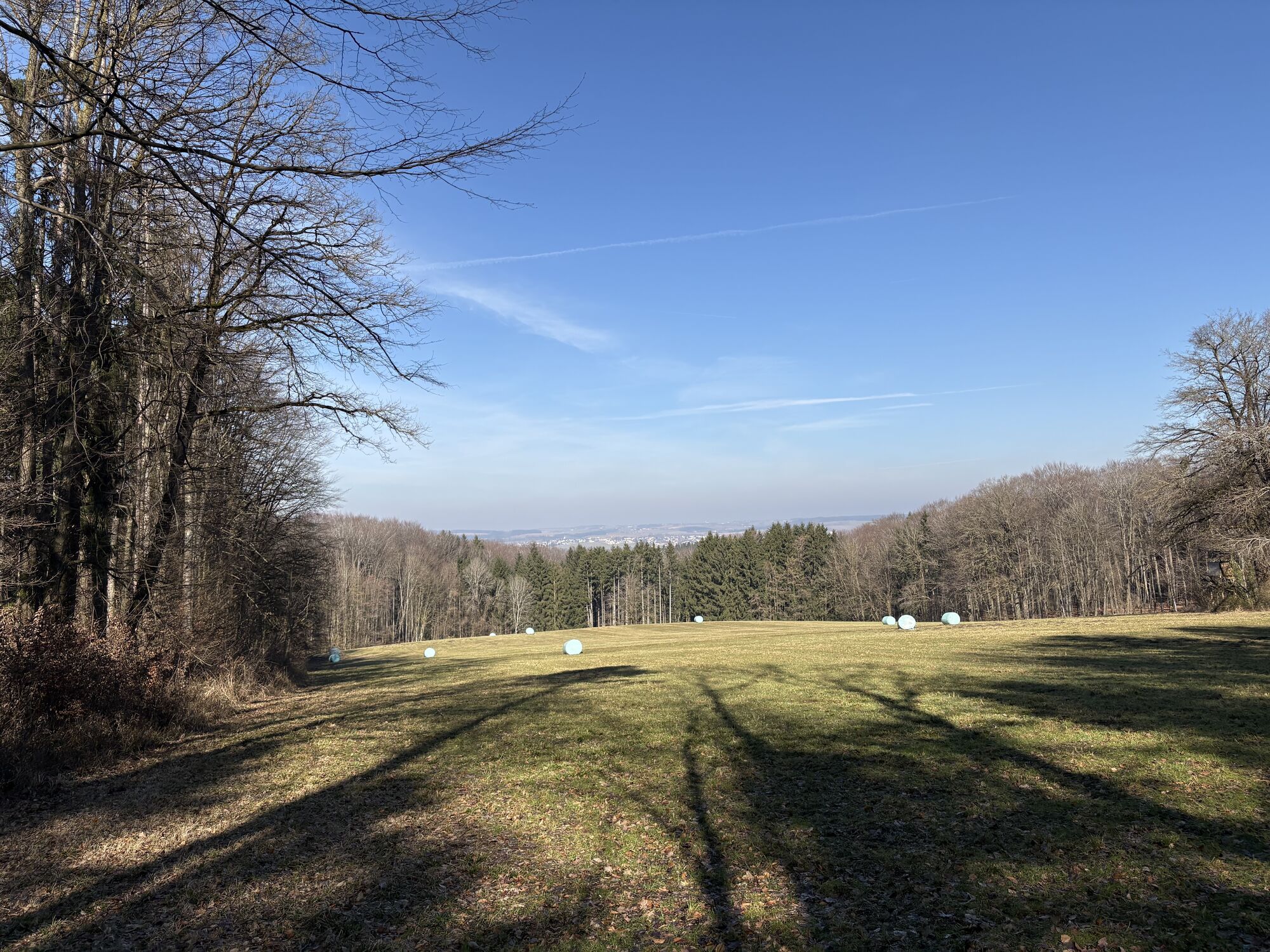
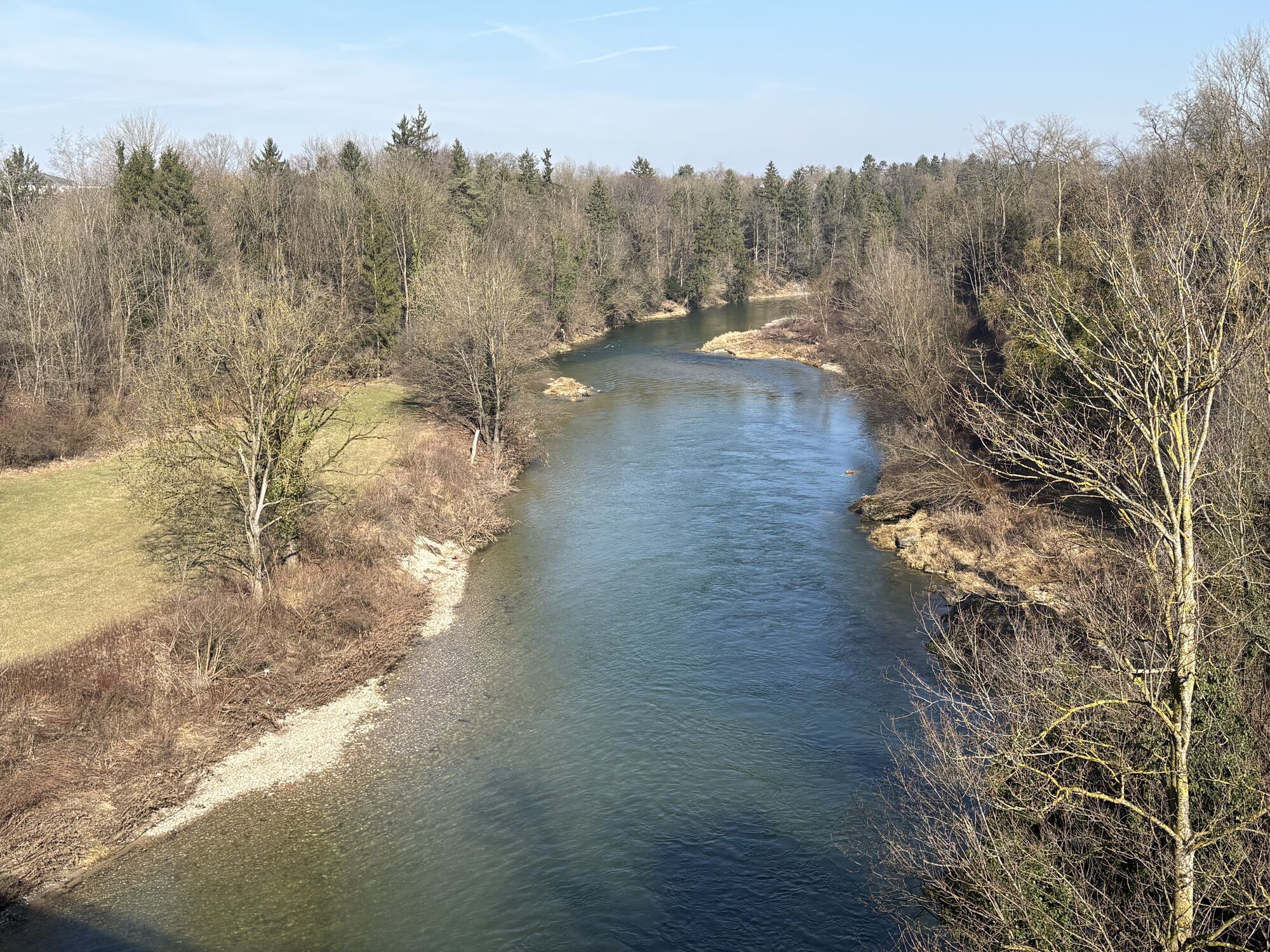
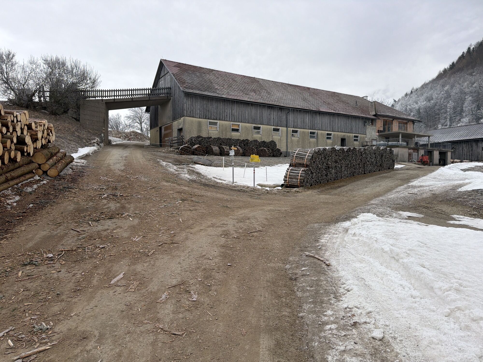
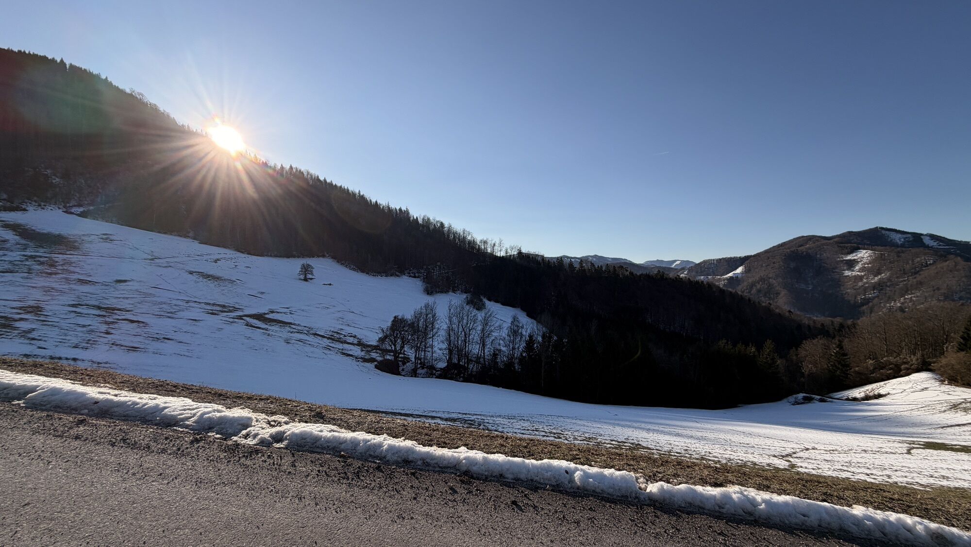
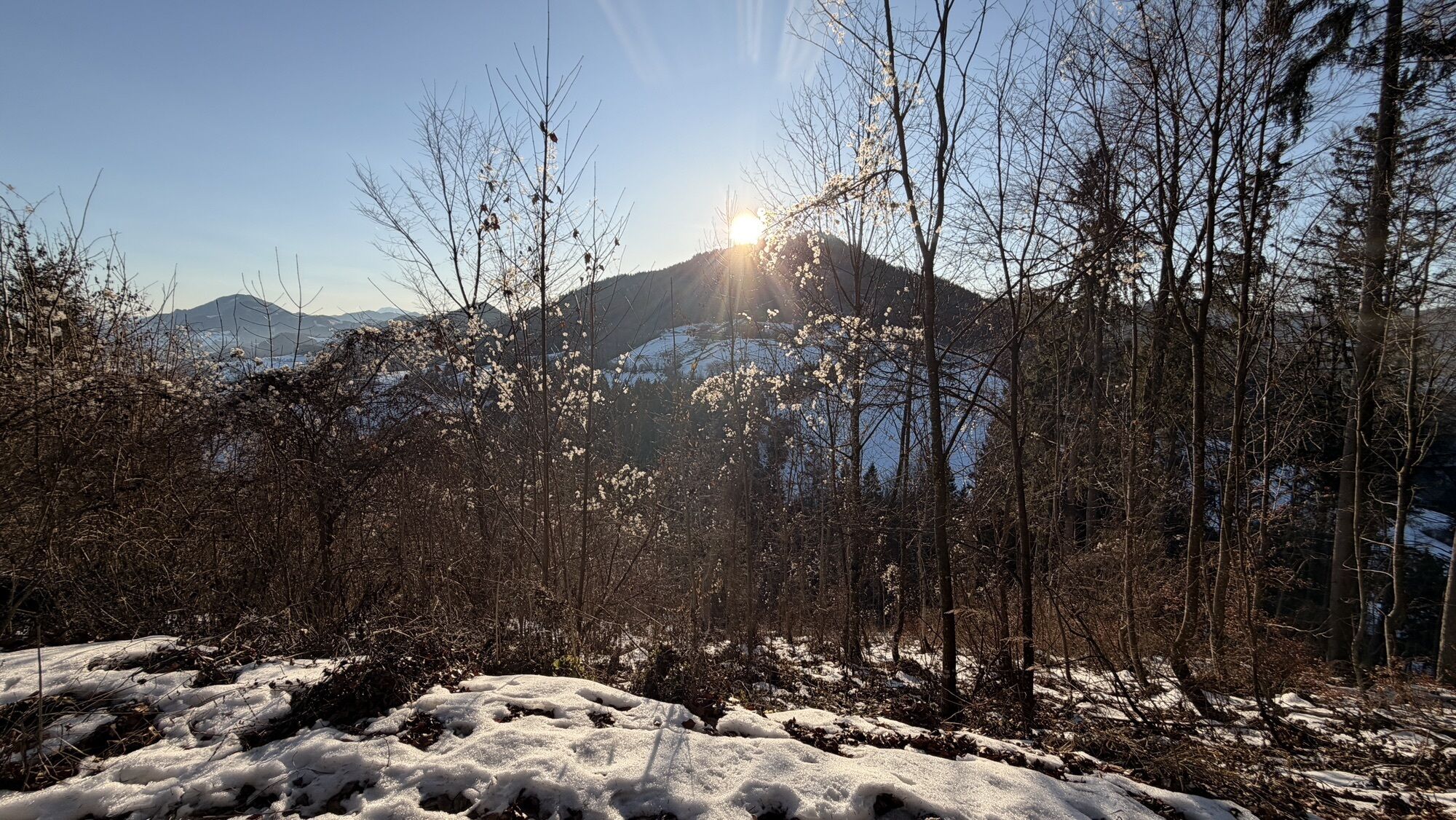
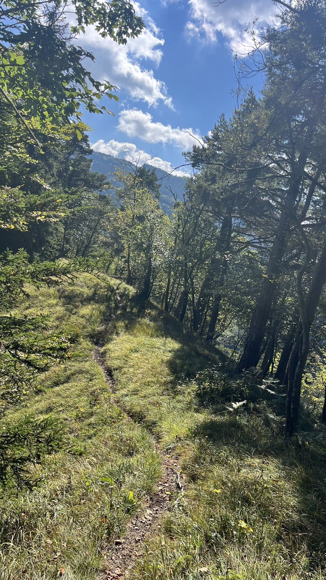
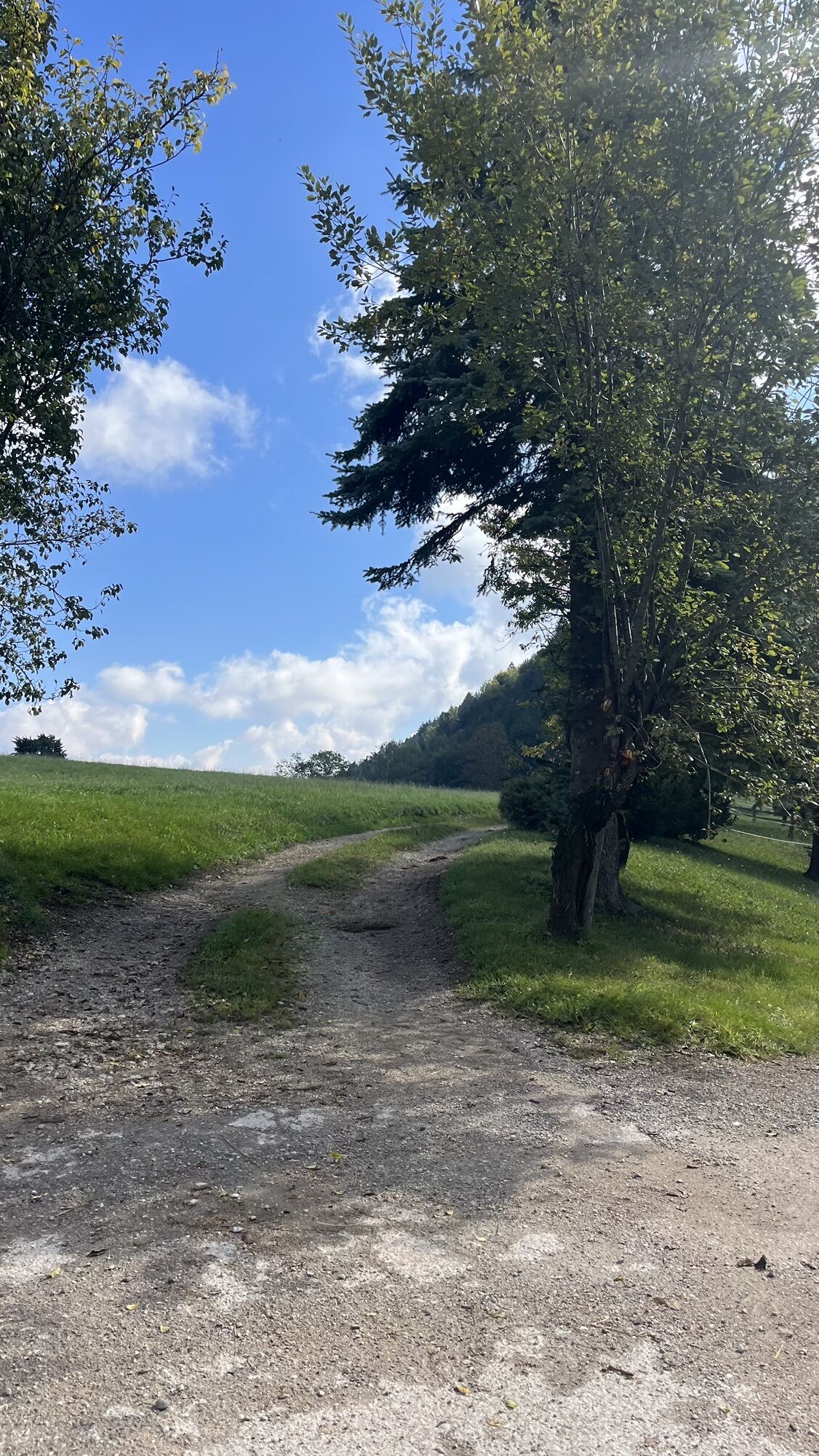
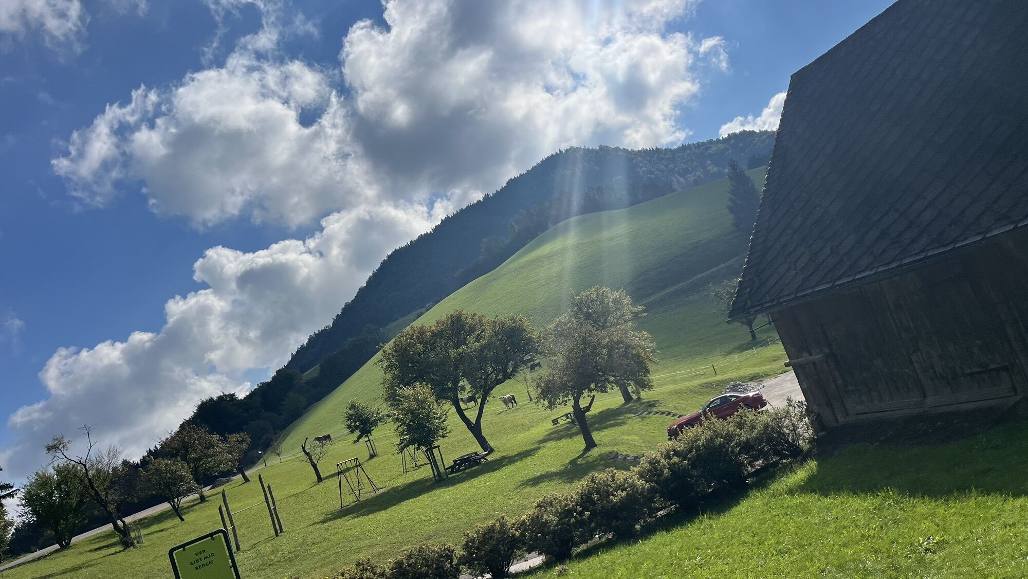
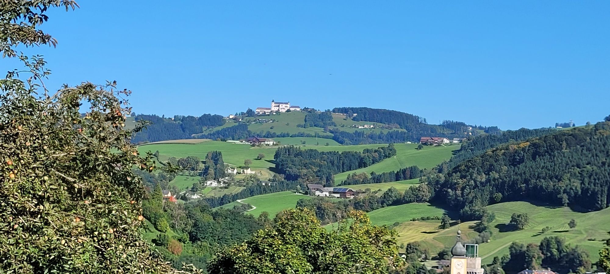
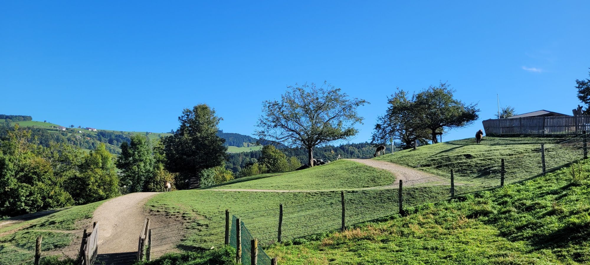
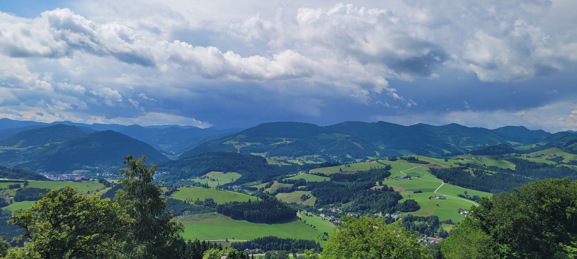
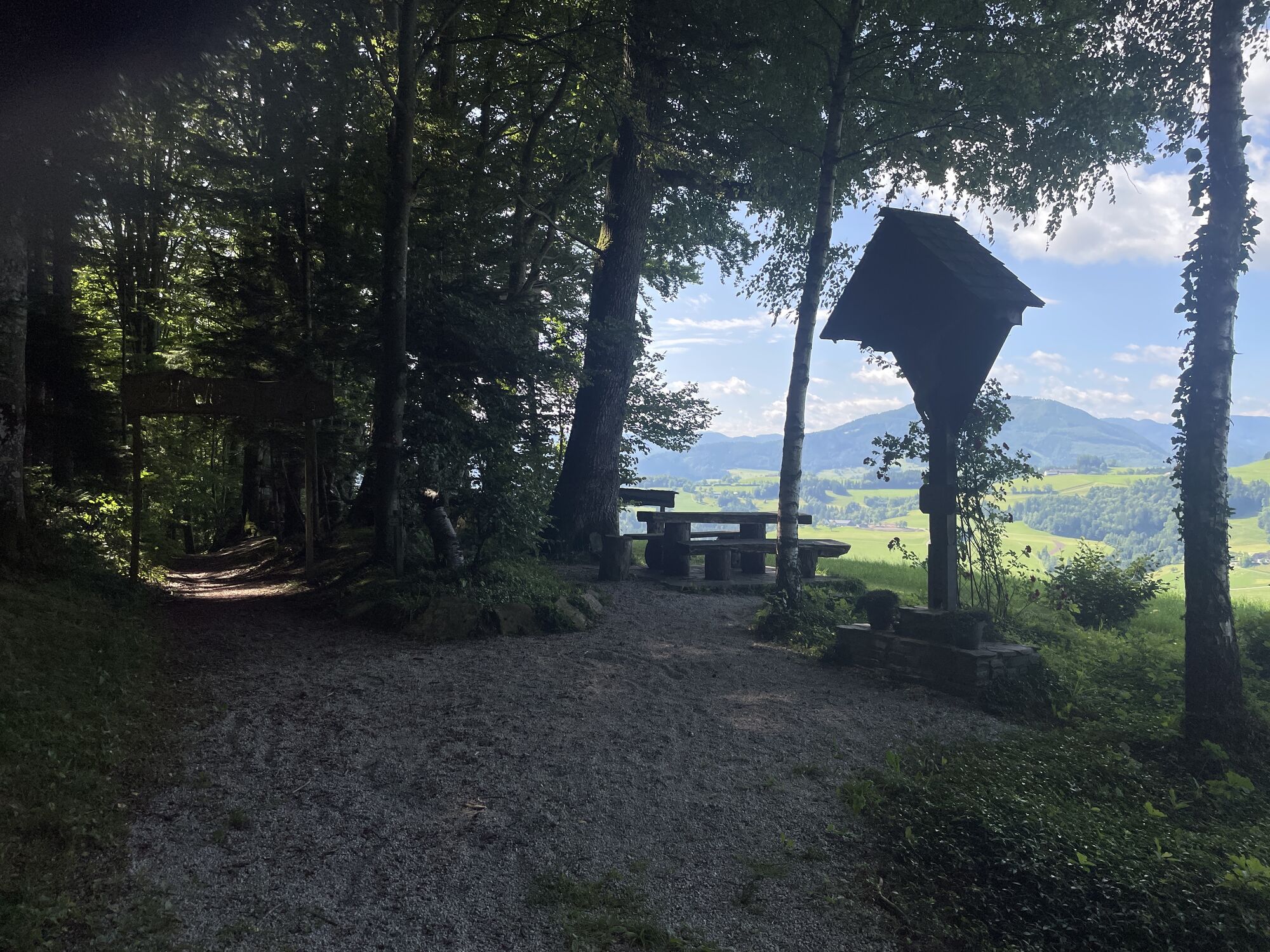
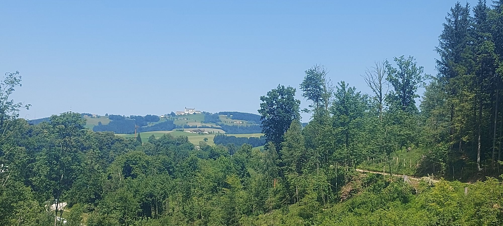
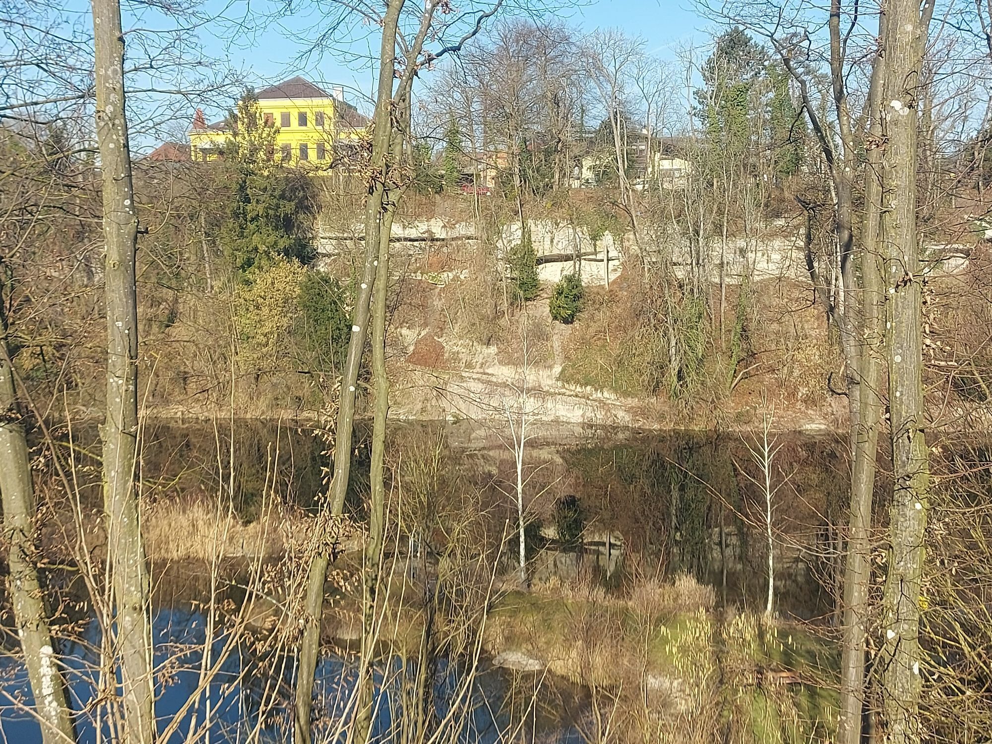
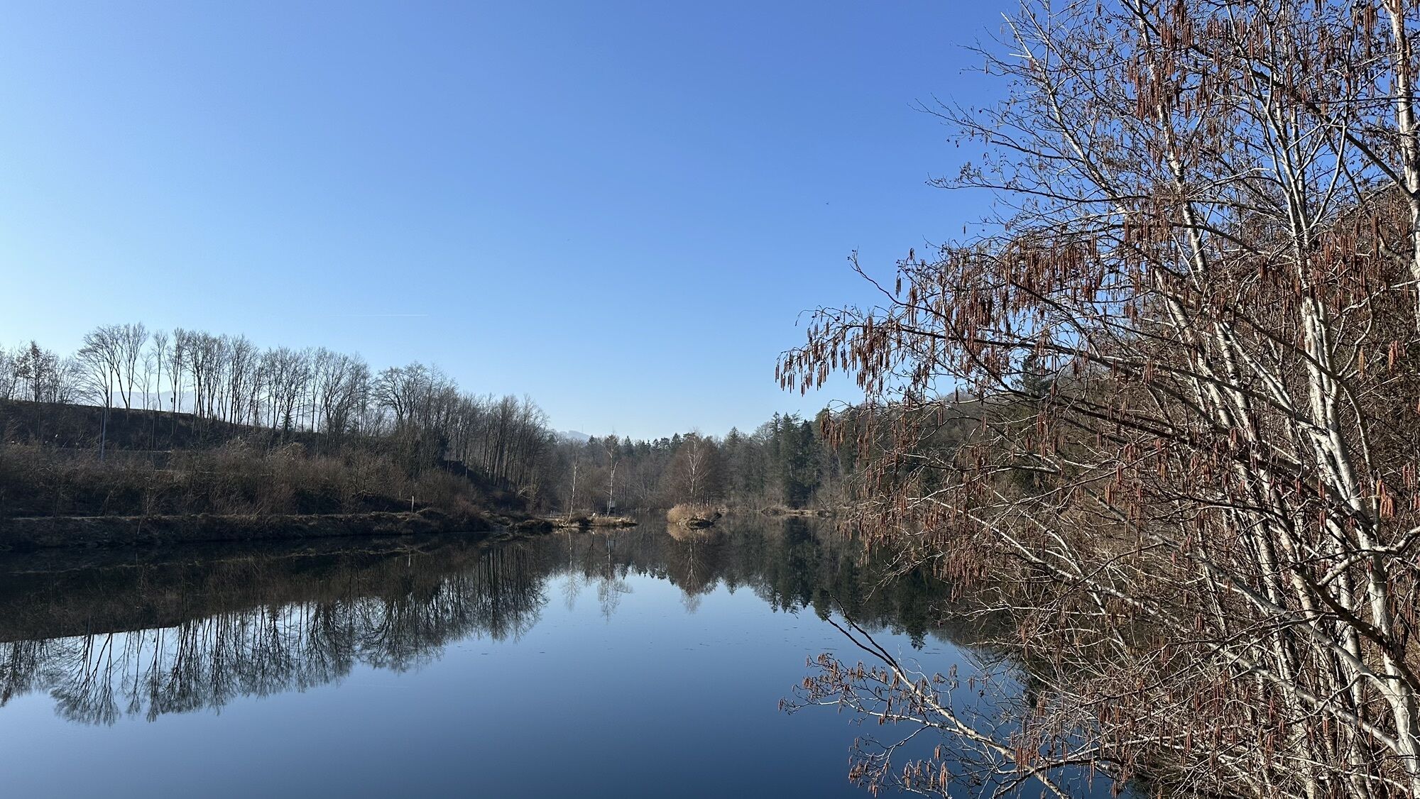
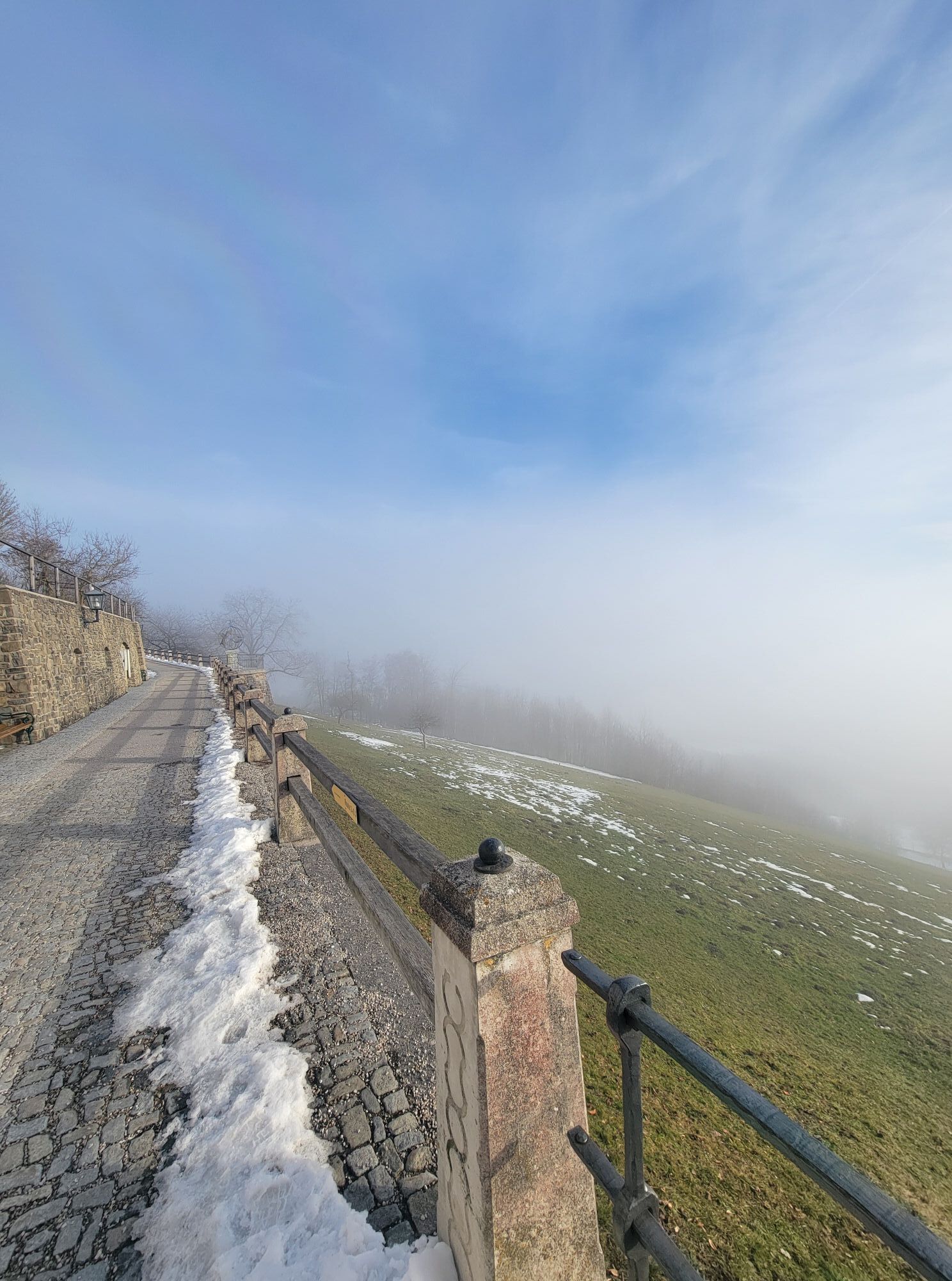
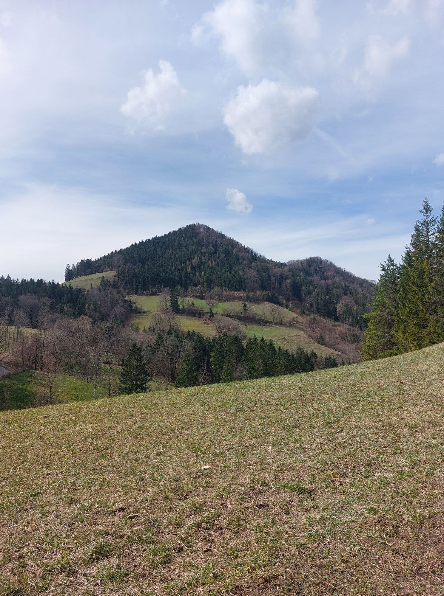
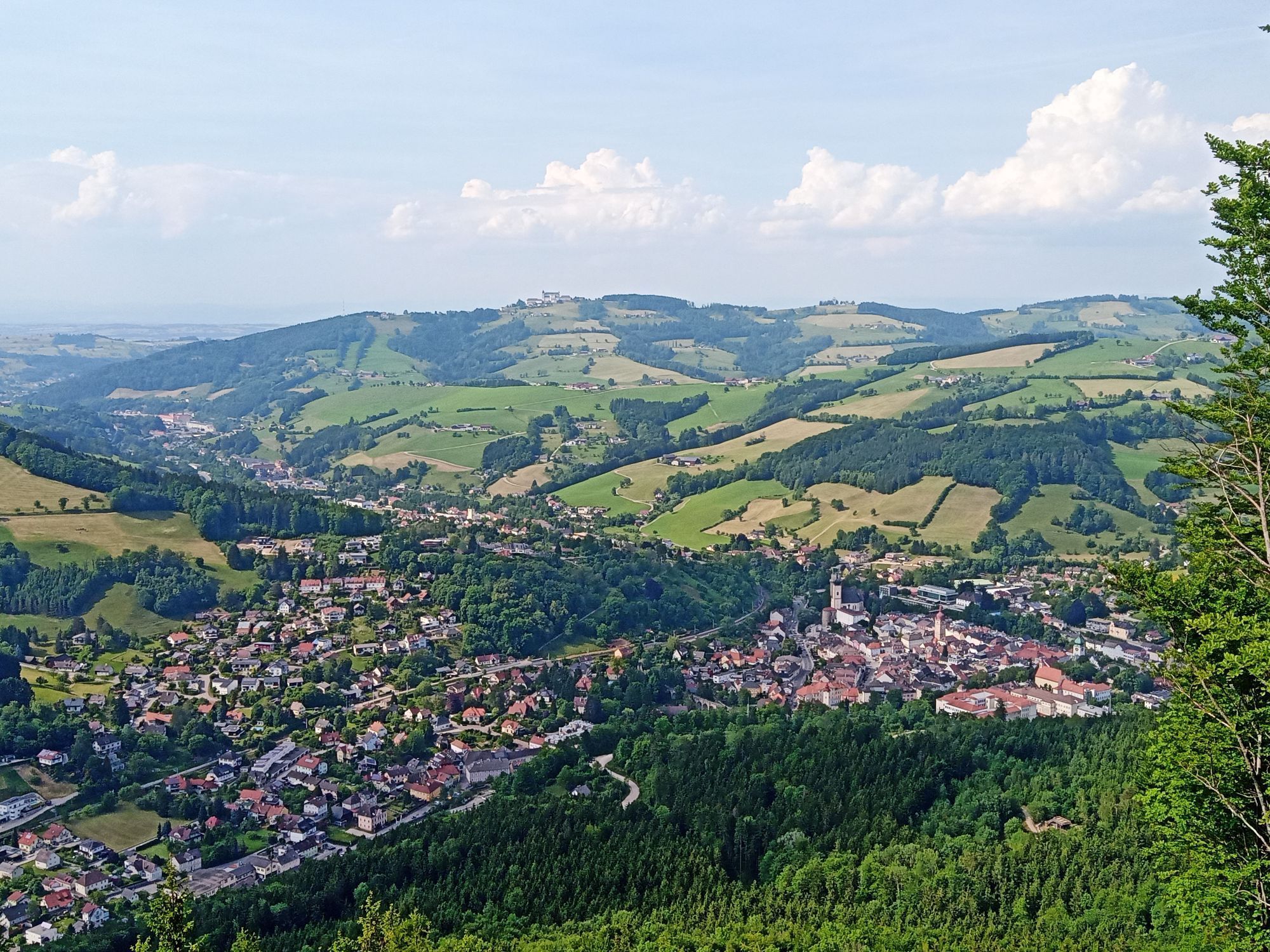
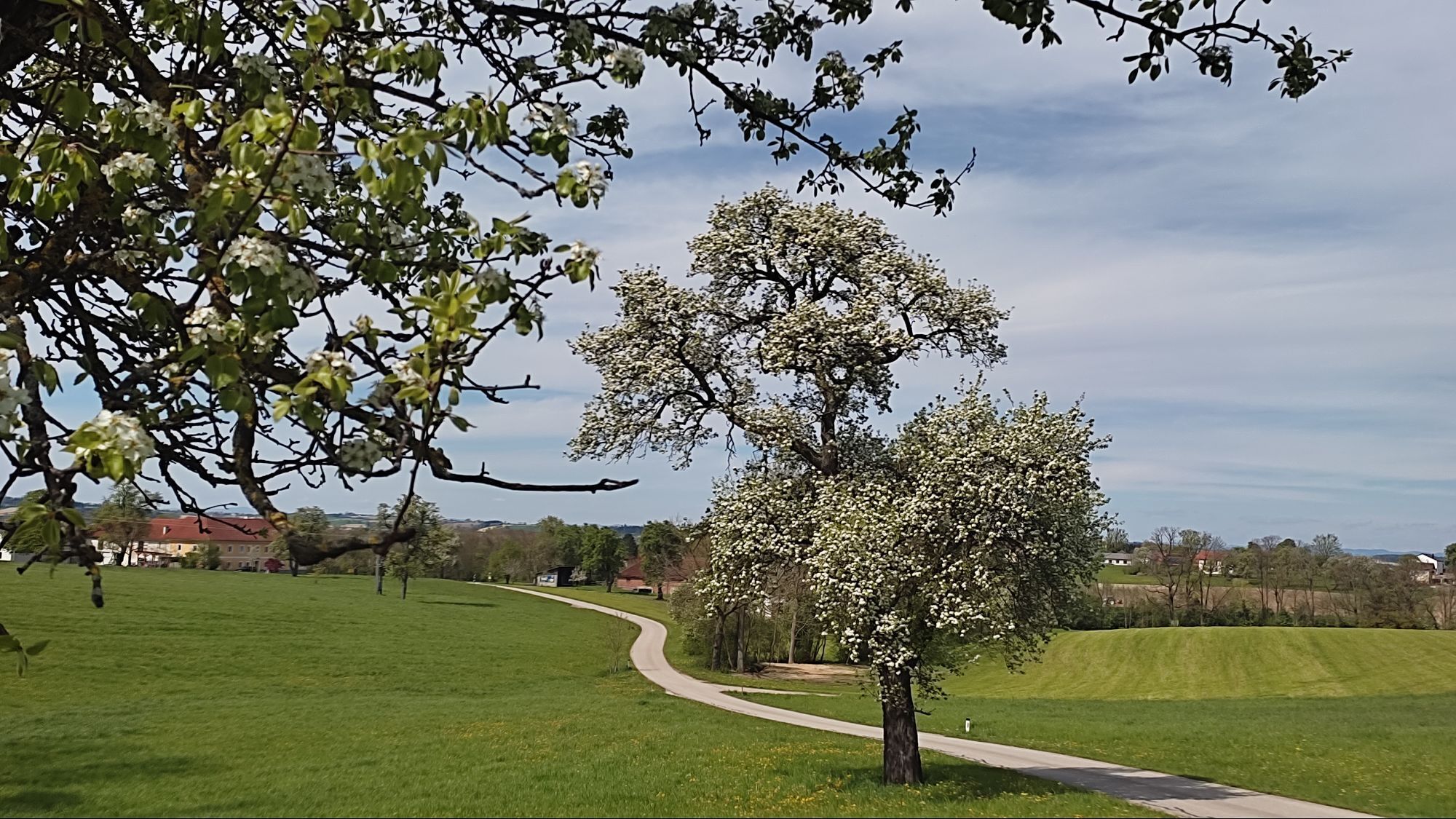
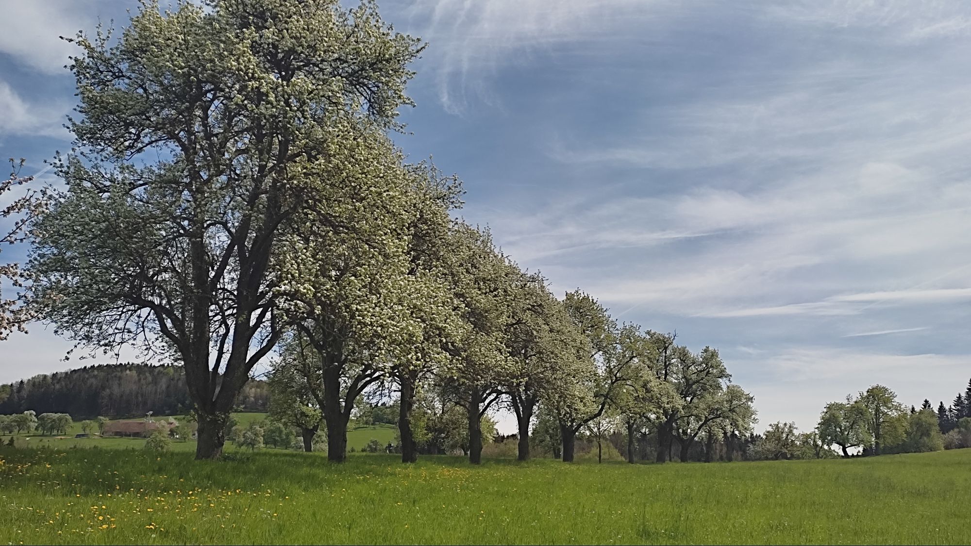
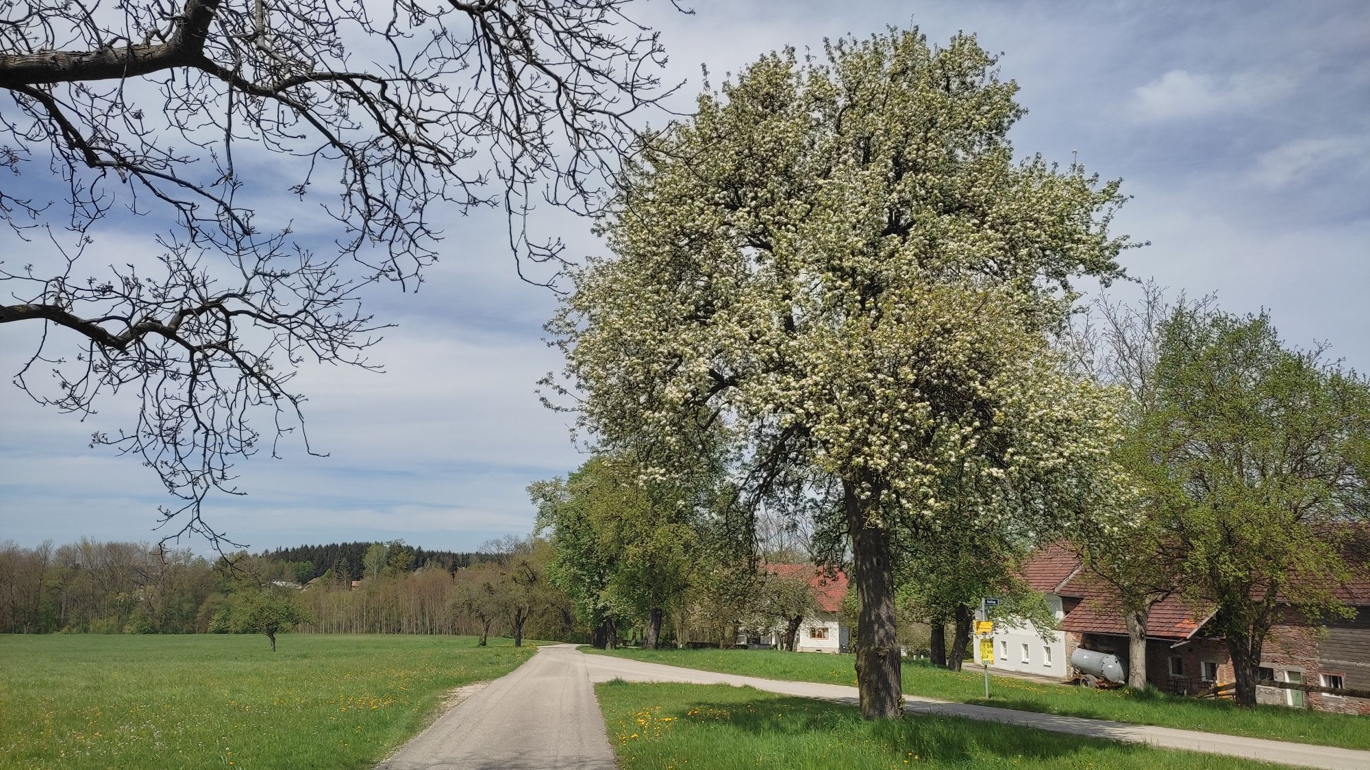
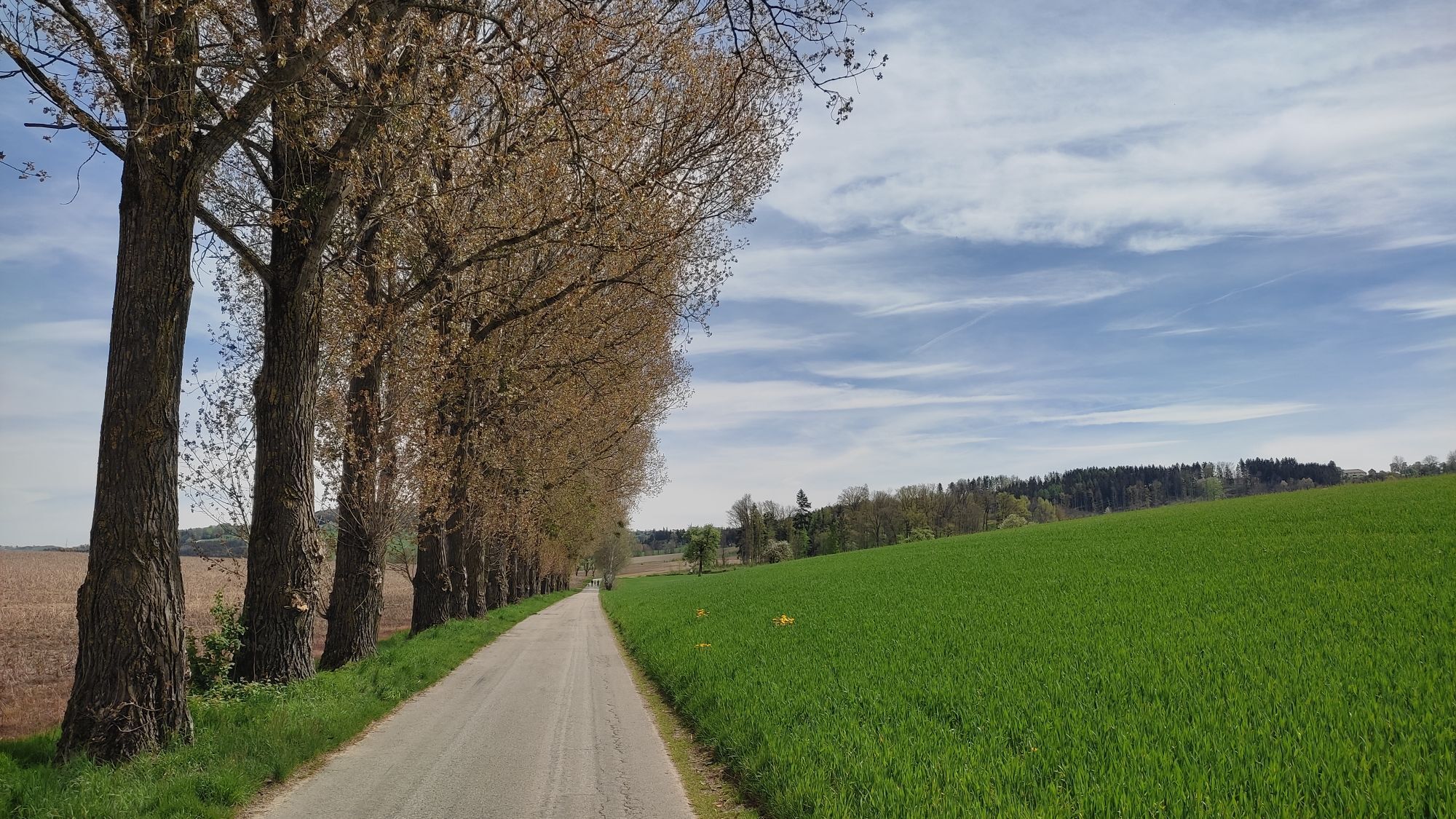
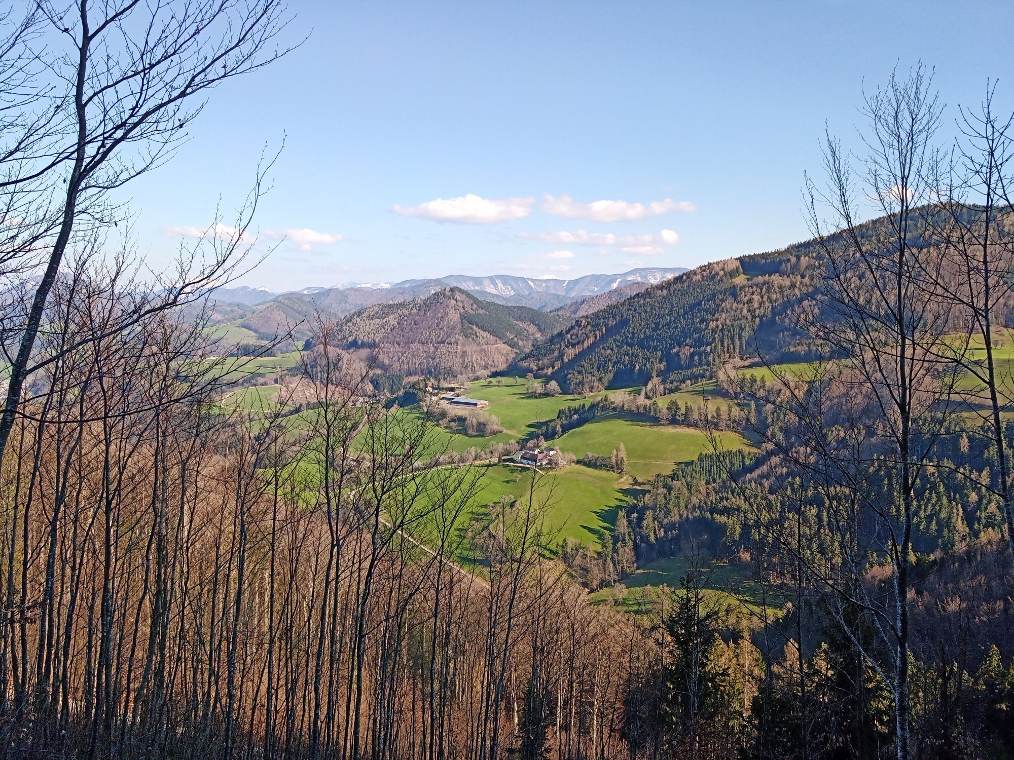
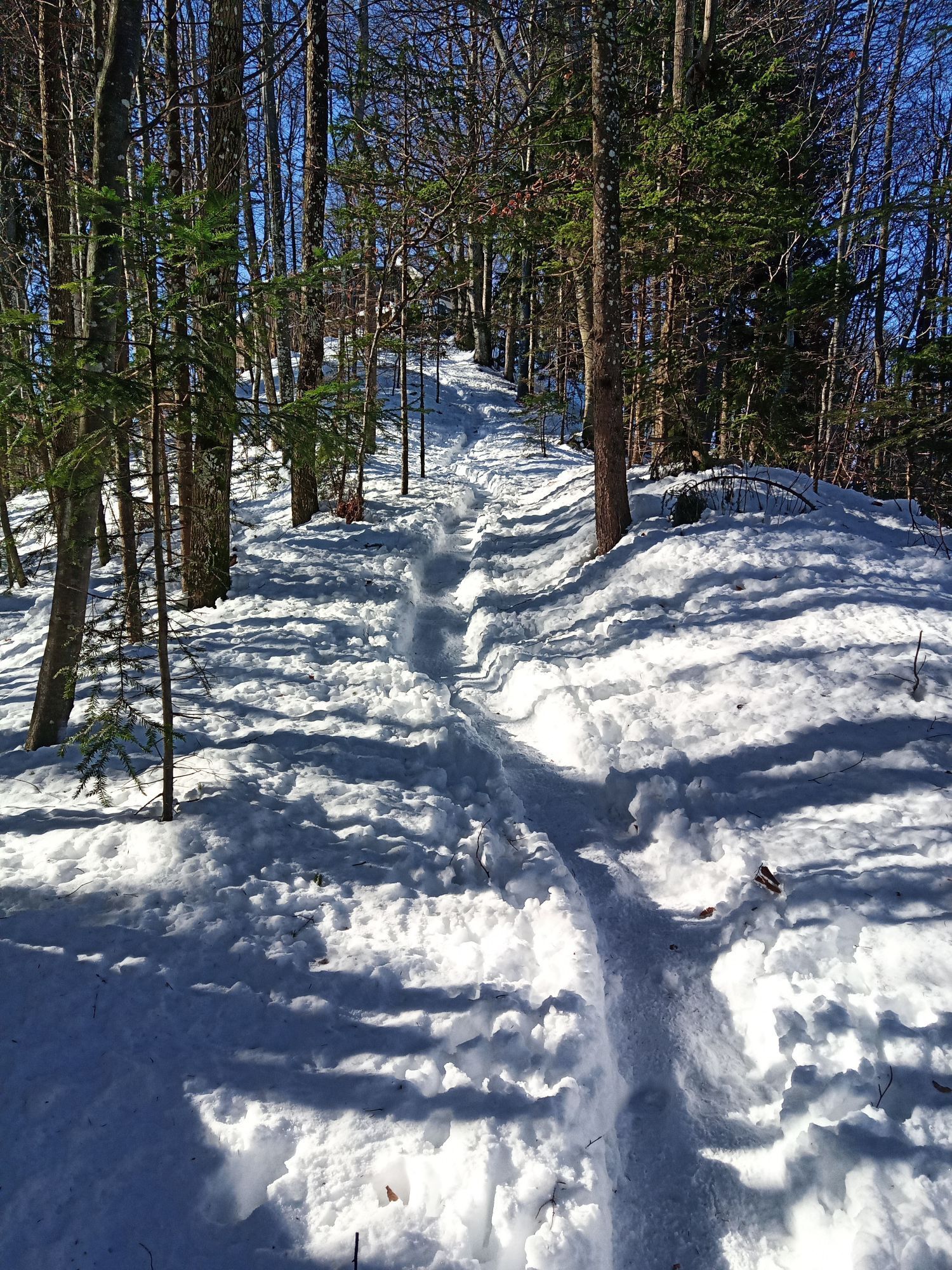
Fotografie našich používateľov

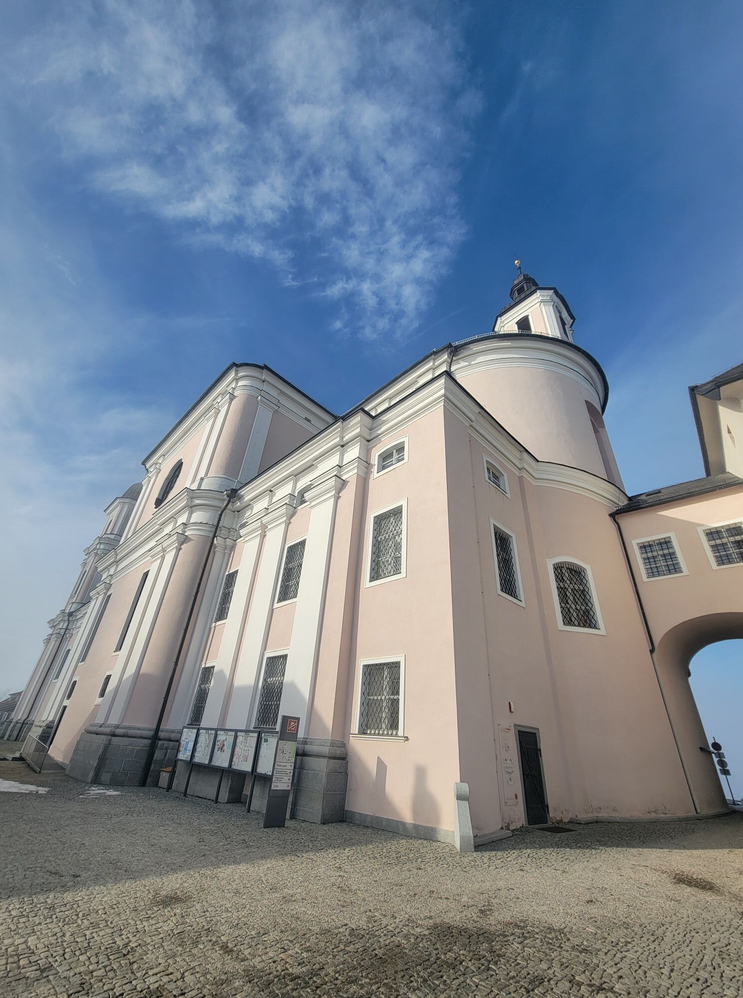
It is best to consciously start the pilgrimage circular hike at the “Sonntagberg Pilgrim’s Parlor/Pilgrim Information” at the entrance to the gallery of the Basilica of the Holy Trinity. Climbing the monumental...

Opis

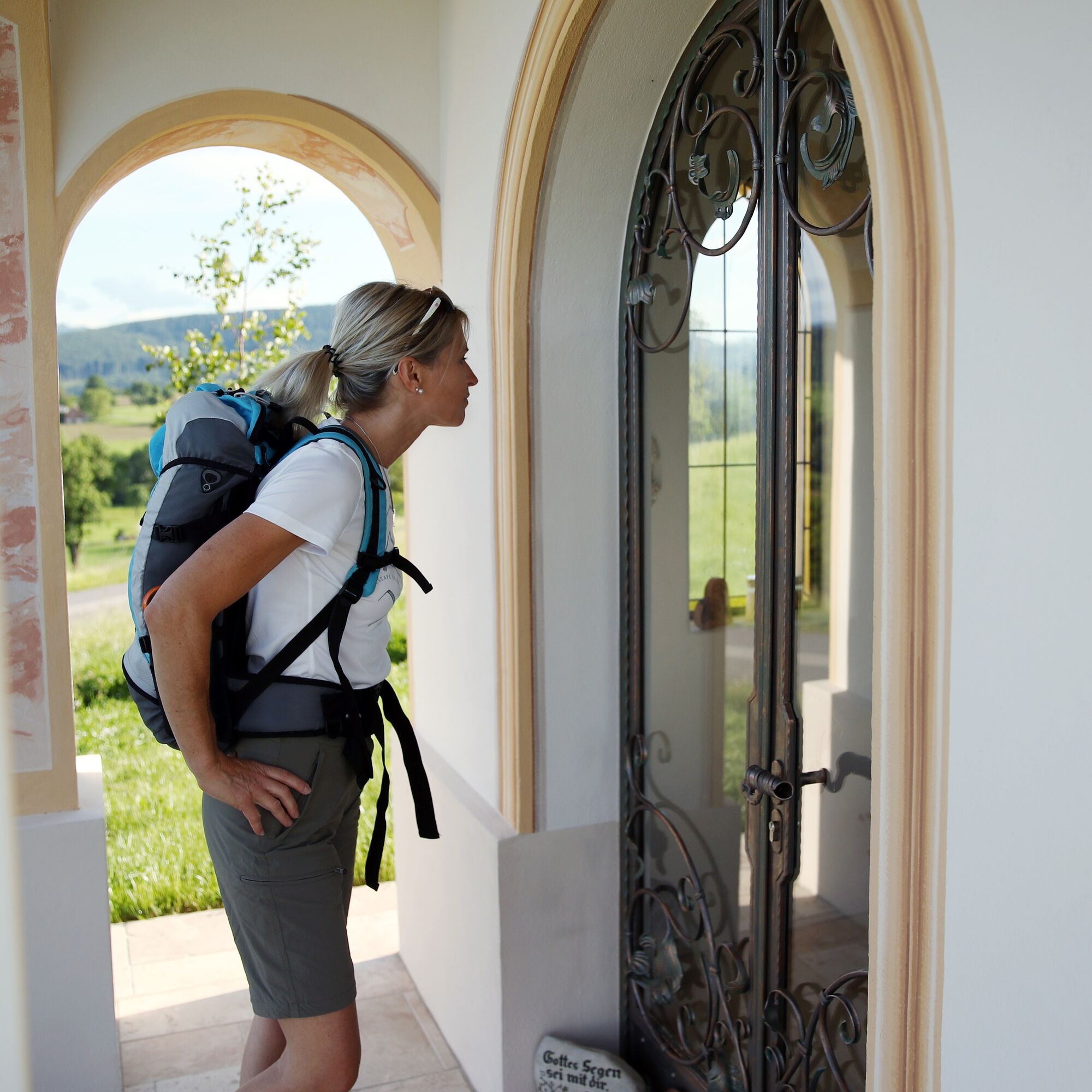
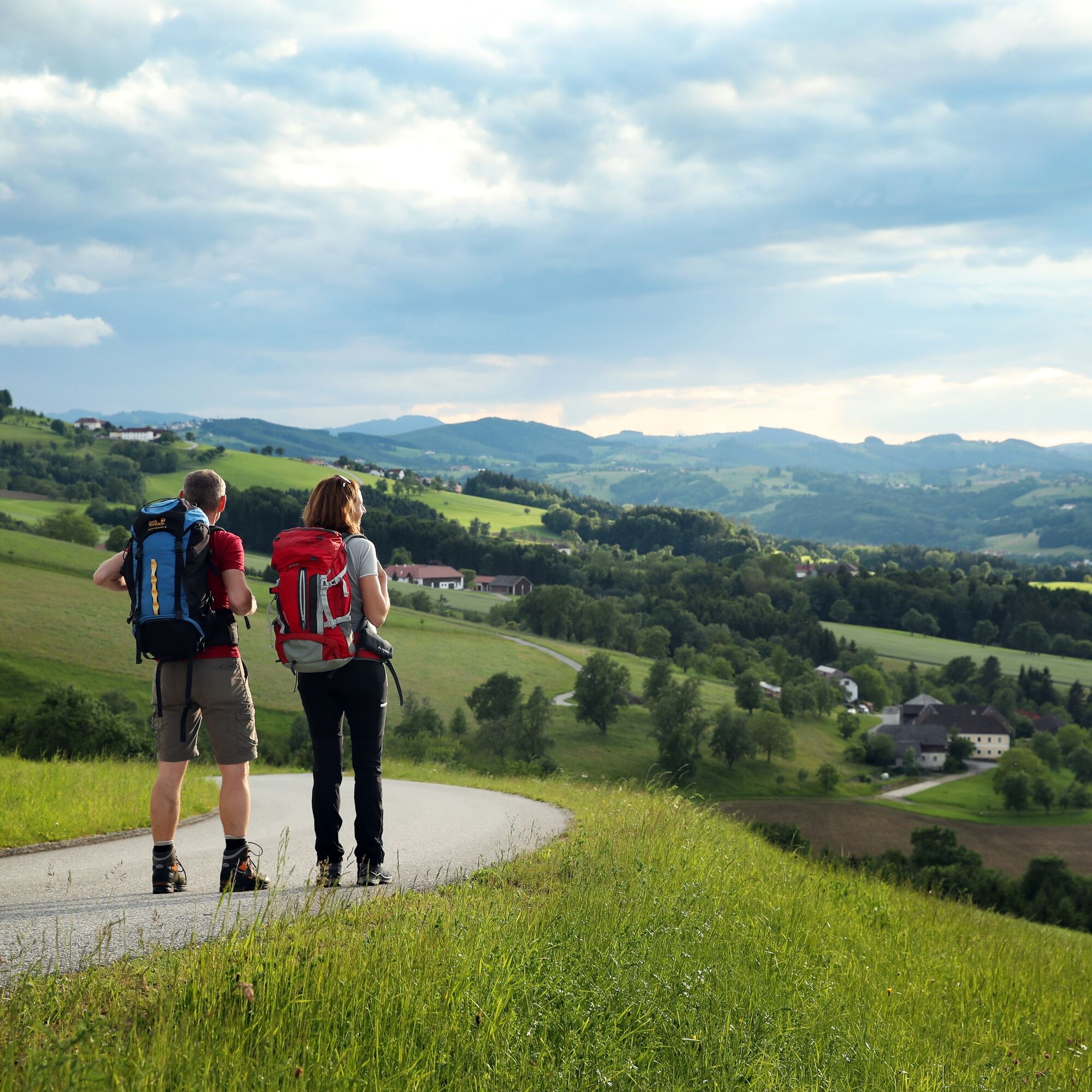
It is best to consciously start the pilgrimage circular hike at the “Sonntagberg Pilgrim’s Parlor/Pilgrim Information” at the entrance to the gallery of the Basilica of the Holy Trinity. Climbing the monumental stone staircase impressively conveys the “stepping out” from everyday life connected with pilgrimage. The aim is to engage with the 5 stages. Depending on motivation, you can open yourself to the many impressions this special corner of the Mostviertel has to offer.

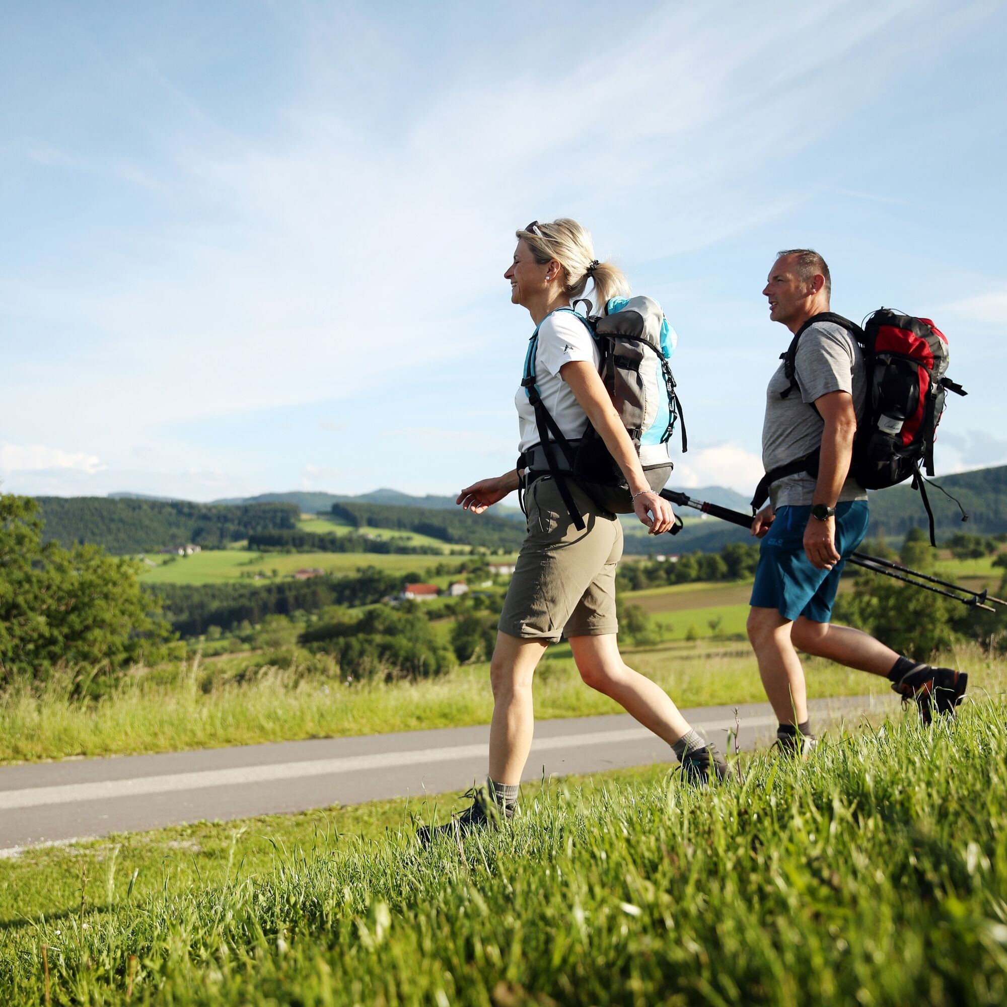
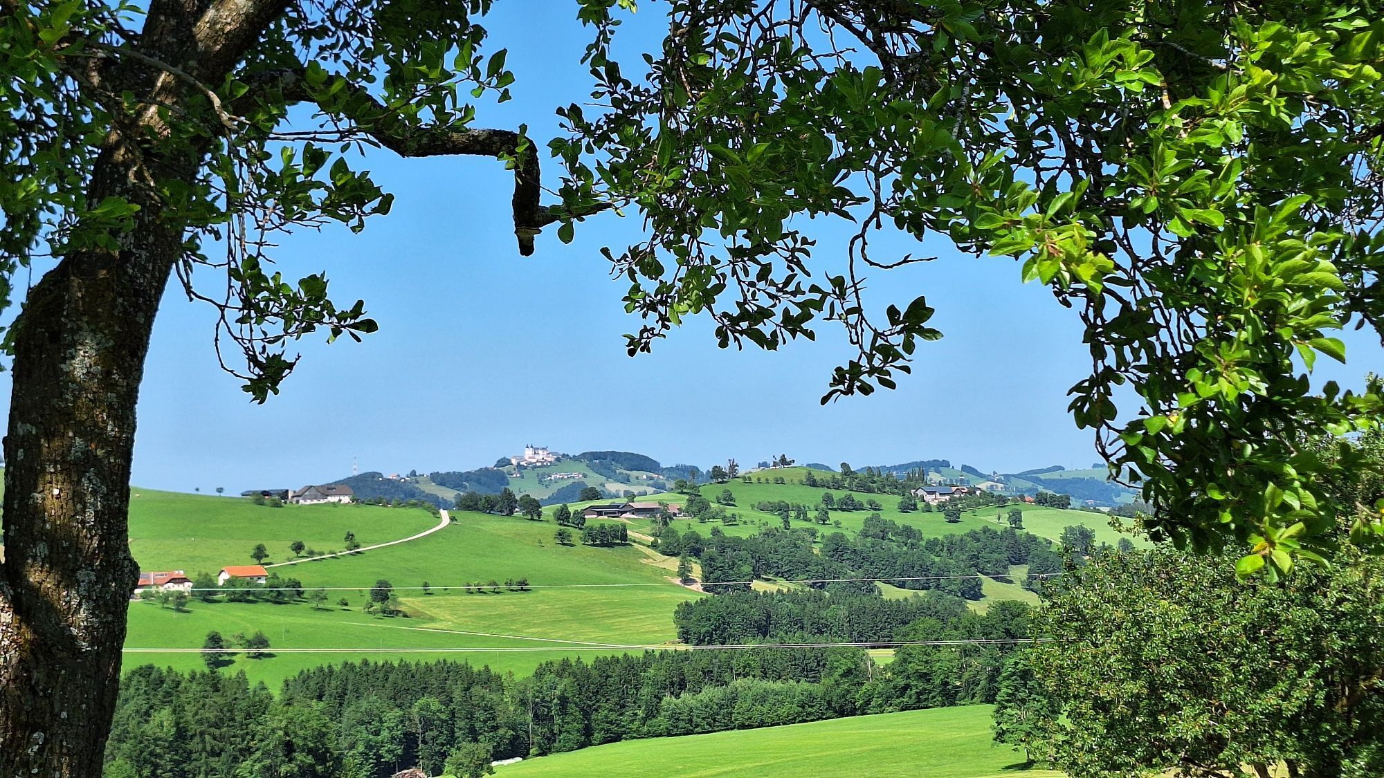
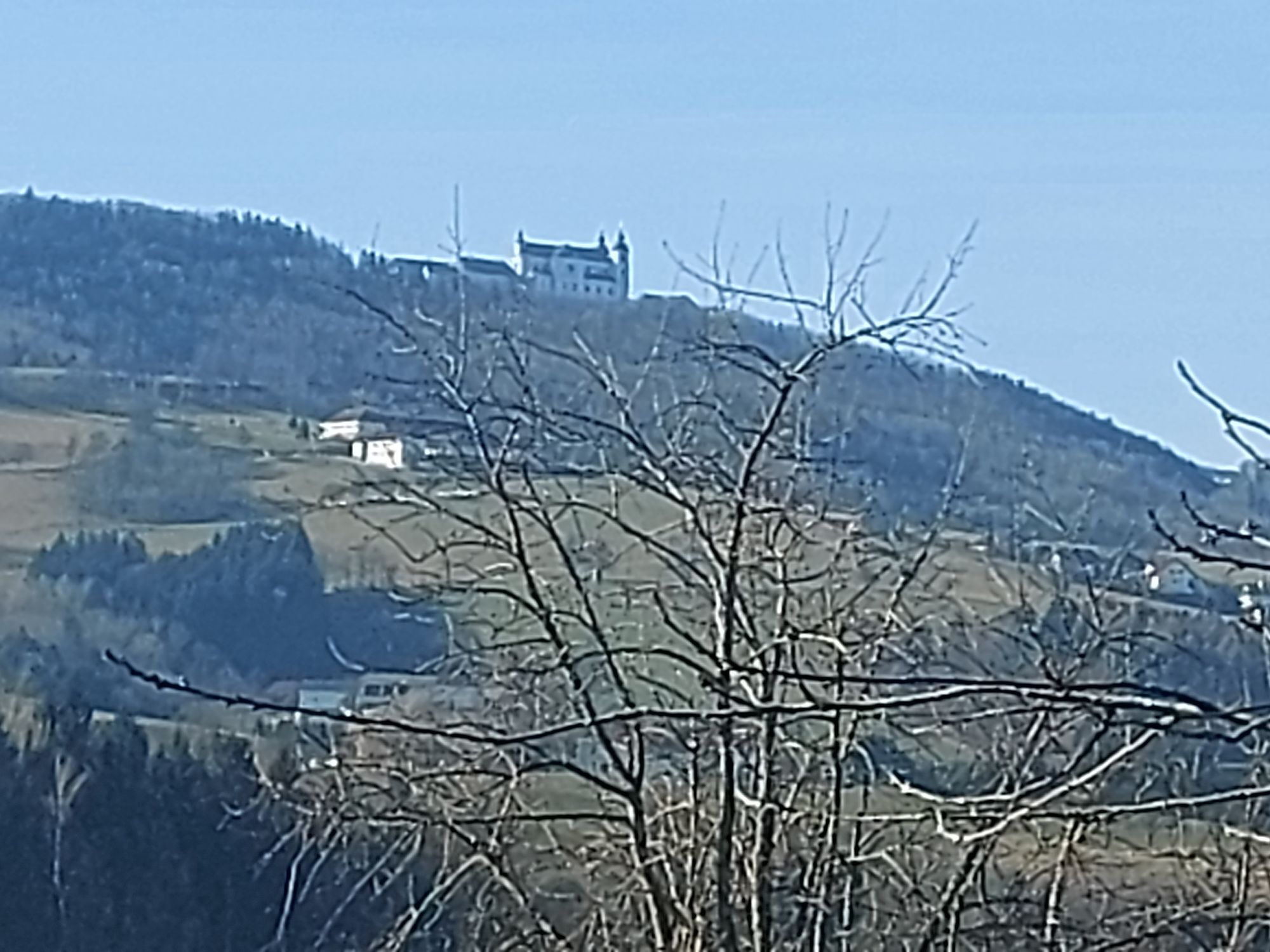
Whether it is the unique and contrasting landscape, the diverse culture with a view of past and present, or the people who lovingly maintain their homeland – you can indulge in the regionally focused culinary delights of this Mostviertel pleasure region of Lower Austria or be gifted by the spiritual experience of pilgrimage. A special highlight is the recurring view of the Sonntagberg Basilica.

Trasa
Trasa
Mapa
Via Trinitatis +
ťažké
Pútnická trasa
109,32 km
Sonntagberg
(703 m)
Zúčtovanie
0,0 km
Wallfahrtskirche zur Heiligen Dreifaltigkeit und zum hl. Michael
(711 m)
Miesto uctievania
0,1 km
Brunnenkluft
(716 m)
Vchod do jaskyne
0,1 km
Sonntagberg
(707 m)
Uhol pohľadu
0,1 km
Sonntagberg
(716 m)
Summit
0,2 km
Reisenberg
(647 m)
Zúčtovanie
0,6 km
Kogel
(712 m)
Summit
5,4 km
Pfarrkirche St. Leonhard
(725 m)
Miesto uctievania
11,1 km
St. Leonhard am Wald
(722 m)
Dedina
11,2 km
Gasthof & Konditorei Fam. Ettel
(720 m)
Reštaurácia
11,3 km
Leonhardihof
(721 m)
Reštaurácia
11,3 km
Panoramagucker Höhenweg
(719 m)
Uhol pohľadu
12,5 km
Putzmühle
(455 m)
Koridor/terén
16,7 km
Ybbsitz
(414 m)
Dedina
23,4 km
Pfarrkirche hl. Johannes der Täufer
(414 m)
Miesto uctievania
23,5 km
Floriani-Kapelle
(415 m)
Miesto uctievania
23,7 km
Königssteinkeller
(444 m)
Vchod do jaskyne
24,8 km
Nothloch
(442 m)
Vchod do jaskyne
24,8 km
Lietzloch
(453 m)
Vchod do jaskyne
24,9 km
Wasserfallhöhle
(470 m)
Vchod do jaskyne
25,2 km
Schönkreuz-Kapelle
(480 m)
Miesto uctievania
25,2 km
Christophorus-Kapelle
(491 m)
Miesto uctievania
25,5 km
Prollinghöhle
(594 m)
Vchod do jaskyne
26,2 km
Zwischenhöhle
(588 m)
Vchod do jaskyne
26,2 km
Tannhäuserhöhle
(591 m)
Vchod do jaskyne
26,2 km
Bauernschrotmühl
(511 m)
Zúčtovanie
27,0 km
Koppichlhöhle
(533 m)
Vchod do jaskyne
28,5 km
Kleinprolling
(532 m)
Zúčtovanie
28,9 km
Großprolling
(570 m)
Zúčtovanie
31,7 km
Pechholzkapelle
(681 m)
Miesto uctievania
35,0 km
Schwarzenbach
(654 m)
Zúčtovanie
37,0 km
Opponitz
(421 m)
Dedina
43,6 km
St. Kunigunde
(422 m)
Miesto uctievania
43,6 km
Bruckwirt
(408 m)
Reštaurácia
44,2 km
Thann
(552 m)
Zúčtovanie
46,2 km
Oberreutherkogel
(799 m)
Koridor/terén
48,4 km
Obermitterkogel
(897 m)
Summit
48,9 km
Gasthaus am Grasberg
(586 m)
Reštaurácia
56,7 km
Buchenberg
(790 m)
Summit
58,3 km
Obere Buchenbergkapelle
(788 m)
Miesto uctievania
58,4 km
Aussichtsplattform Buchenberg
(788 m)
Uhol pohľadu
58,4 km
Waidhofner Blick
(711 m)
Uhol pohľadu
58,6 km
Wirts
(409 m)
Dedina
59,9 km
Wasservorstadt
(437 m)
Koridor/terén
61,4 km
Wasservorstadt
(359 m)
Susedstvo
61,9 km
Zell an der Ybbs
(363 m)
Dedina
62,6 km
Waidhofen an der Ybbs
(362 m)
Mesto
62,7 km
Krautbergkreuz
(421 m)
Uhol pohľadu
63,5 km
Kuchelforst
(525 m)
Koridor/terén
64,7 km
Pfarrkirche hl. Nikolaus
(648 m)
Miesto uctievania
68,3 km
Gasthof-Pension Seisenbacher
(649 m)
Reštaurácia
68,4 km
Sankt Georgen in der Klaus
(656 m)
Dedina
75,2 km
Pfarrkirche hl. Georg
(665 m)
Miesto uctievania
75,4 km
Blümelsberg
(527 m)
Summit
80,1 km
Wildheuriger Kronawetter
(492 m)
Reštaurácia
80,4 km
Seitenstetten
(337 m)
Dedina
83,8 km
Friedhofskirche St. Veit
(332 m)
Miesto uctievania
84,4 km
Sankt Veit
(331 m)
Susedstvo
84,4 km
Prastrum
(332 m)
Zúčtovanie
88,4 km
Biberbach
(352 m)
Dedina
90,1 km
Gasthaus Kappl
(351 m)
Reštaurácia
90,1 km
Gasthof Fischer
(352 m)
Reštaurácia
90,1 km
Pfarrkirche hl. Stephan
(356 m)
Miesto uctievania
90,2 km
Kreuzstöcklberg
(391 m)
Summit
95,9 km
Kalsing
(343 m)
Zúčtovanie
97,6 km
Angerholz
(347 m)
Zúčtovanie
100,1 km
Allhartsberg
(395 m)
Dedina
101,2 km
Pfarrkirche Allhartsberg
(395 m)
Miesto uctievania
101,2 km
Öko-Dorf
(380 m)
Susedstvo
101,2 km
Allhartsbergerhof
(394 m)
Reštaurácia
101,2 km
Südhang
(391 m)
Susedstvo
101,8 km
Maierhofen
(445 m)
Zúčtovanie
102,9 km
Reisenberg
(647 m)
Zúčtovanie
108,5 km
Sonntagberg
(716 m)
Summit
109,0 km
Sonntagberg
(707 m)
Uhol pohľadu
109,1 km
Brunnenkluft
(716 m)
Vchod do jaskyne
109,1 km
Wallfahrtskirche zur Heiligen Dreifaltigkeit und zum hl. Michael
(711 m)
Miesto uctievania
109,2 km
Sonntagberg
(703 m)
Zúčtovanie
109,3 km
Informácie o prehliadke

Sonntagberg - St. Leonhard/Wald - Ybbsitz - Groß Prolling - Opponitz - Reichenwald - Atschreith - Buchenberg - Waidhofen - Konradsheim - St. Georgen/Kl. - Seitenstetten - Biberbach - Kematen/Ybbs - Allhartsberg - Sonntagberg

Technológia
n.a.
Stav
6 / 6
Krajina
5 / 6
Skúsenosti
4 / 6
Najlepšie ročné obdobie
Jan
Feb
Mar
Apr
Máj
Jún
Júl
Aug
Sep
Okt
Nov
Dec
Autor
Poskytuje Mostviertel
Prehliadku Via Trinitatis + zabezpečuje outdooractive.com.
Logo
Zdieľať prehliadku
Mapa
Via Trinitatis +
ťažké
Pútnická trasa
109,32 km
Chyba
Vyskytla sa chyba. Prosím, skúste to znova.
Informácie o príchode
Príchod

By car from St. Pölten via the A1 West Motorway, exit Amstetten West.

Verejná doprava

Reachable by train in just under 1:30 hours from St. Pölten, with a transfer in Amstetten.

Ďalšie informácie a tipy
Ďalšie informácie

Mostviertel Tourism

Neubruck 2/10

3270 Scheibbs

www.mostviertel.at

info@mostviertel.at

Zatiaľ žiadne recenzie
Napíšte recenziu

Recenzie pomáhajú ostatným používateľom vybrať si ďalšie dobrodružstvo. Prosím, hodnoťte len prehliadku, nie počasie alebo občerstvenie.

Vyberte jednu z hviezdičiek a ohodnoťte prehliadku
Zlé turné
Slabé turné
Priemerné turné
Dobrá prehliadka
Vynikajúca prehliadka
bergfex logo Získajte prehľad Vždy naživo na mieste s viac ako 9 500 webovými kamerami. bergfex Ako používateľ Pro si teraz môžete pozrieť príslušné webové kamery pre mnohé zájazdy v aplikácii zájazdy z. Môžete si tak priamo prezerať aktuálne podmienky.
Turistika a stopovanie

Turistika a stopovanie

Turistika a stopovanie
Viac ako 550.000 návrhov výletov, podrobné mapy a intuitívny plánovač trás robia z aplikácie povinnú výbavu pre všetkých nadšencov prírody.
bergfex