


Weather route
Wind and weather all the way – the “weather route” can also be combined with the “wind turbine route” and a trip to the wind turbine with viewing platform in Lichtenegg. If you want to learn more about...
<p>Wind and weather all the way – the “weather route” can also be combined with the “wind turbine route” and a trip to the wind turbine with viewing platform in Lichtenegg. If you want to learn more about the weather, you should visit the weather trail in Hollenthon.</p>

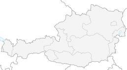
<p>Start of the route at Inn Posch. Head towards the end of the village, then turn left towards Spratzeck at the fork in the road. Go straight on here, follow the signposted route, pass through Rotte Spratzeck and then turn left at the next junction. Then there is another junction, this time turn right. A short distance along the road, turn right at the first opportunity; from here, the road leads through the forest/along the edge of the forest. You will then come to the district of Gleichenbach, through the village and turn right at the crossroads, out of the village and then continue straight on. After a long left-hand bend you will come to the Obereck district, keep left there at the crossroads. The route continues, always straight ahead, a little way along the Spratzbach stream. When you reach the district of Blumau, you will see a large sawmill; turn left there. Straight on until you reach the intersection from which you came before, turn left and this time go straight on. Keep straight until you come to a fork, keep right there and return to the village of Hollenthon.
</p><p><strong>The route is marked with signs “Wetterroute Nr. 4” in yellow.</strong></p><p><strong>Connecting path to the “Rosengarten route”.</strong></p>
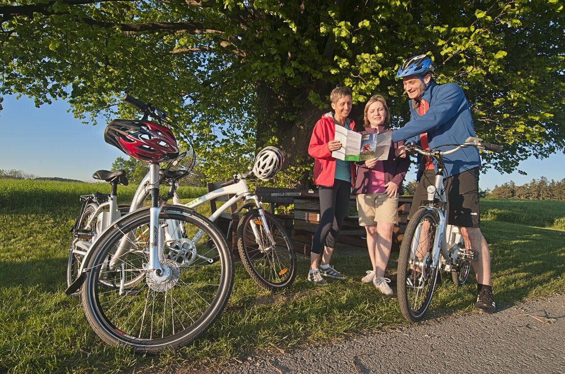
<p>Always take <strong>suitable maps</strong> with you. Wear <strong>sturdy shoes and a helmet</strong> suitable for the tour, take sun and rain protection as well as water and a snack with you. Take your <strong>mobile phone</strong> with you and save the emergency number of the rescue service: 144</p>
<p>Your routes in the Vienna Alps should be an all-round beautiful and safe experience. Therefore, please note the following:
</p><p><strong>Preparation</strong></p><p>When choosing a route, make sure it suits your<strong> experience and condition</strong>. Check the <strong>weather forecast</strong> in advance. The weather can change surprisingly quickly in the mountains. Therefore, always set off equipped accordingly (e.g. rain protection).</p><p>Check whether the <strong>inns and snack stations</strong> you want to visit on the way are open. Inform someone about your choice of route and your planned return before you set off.</p>
<p>Coming <strong>from Vienna</strong>, take the A2 to Wr. Neustadt and change to the S4. Take the exit Wr. Neustadt-Süd. Follow the B54 and turn into the L142, Bromberger Straße. Travel along the road until you reach the L144 at Schlatten. Then take the L4101 to Hollenthon.
</p><p>Coming <strong>from Graz</strong>, take the A2 to the Aspang exit and follow the L4197. Then travel along the L145. At Lichtenegg take the L4101 to Hollenthon.</p>
<p>Take the bus from Wiener Neustadt station with line 7840 to the Hollenthon Kirche stop.
</p><p>You can find more information at<a href="www.oebb.at/"> www.oebb.at</a> and <a href="anachb.vor.at/">www.vor.at<...
<p>Parking available near the church.</p>
Here you can order the Bucklige Welt e-bike folder free of charge online.
Wiener Alpen in Niederösterreich, www.wieneralpen.at, +43 / 2622 / 78960
Erlebnisregion Bucklige Welt süd, www.buckligewelt.info +43 676 / 3509806
Einkehr:
Gasthaus Posch, Hollenthondahoam, HollenthonAm Rosenhof - Mostheuriger, Hollenthon
Gasthaus Spenger, Spratzau (kleiner Umweg)Gasthaus Stangl, Thal (kleiner Umweg)Ausflugsziele:
Obstlehrpfad, HollenthonWetterlehrpfad, HollenthonWebové kamery z prehliadky
Obľúbené výlety v okolí
-
4,1
"Weg der Blicke"
svetloTuristika 5,86 km -
4,4
Bad Schönau - Hutwisch
svetloTuristika 9,99 km -
4,0
Bucklige Welt: Burg Grimmenstein und Kulmriegel
svetloTuristika 10,5 km -
4,4
BAD-SCHÖNAU Hutwisch und wieder zurück 20220611
strednáTuristika 10,8 km -
4,8
Bakabu children's adventure trail to Hutwisch
strednáTematická trasa 5,42 km -
4,4
Hochegger Höhenweg
svetloTuristika 4,55 km -
2,9
Sonnenland Draisinentour
svetloCyklistika 23,0 km -
4,8
B41 Zöberntal-Rabnitztal cycle trail
strednáCyklistika 40,7 km -
4,6
Petersbaumgarten/Kienegg/Windhoh Runde
svetloTuristika 9,86 km -
2,5
Route planned on April 16, 2014
strednáTuristika 25,8 km
Turistika a stopovanie


Nenechajte si ujsť ponuky a inšpiráciu na ďalšiu dovolenku
Vaša e-mailová adresa bol pridaný do poštového zoznamu.