







Road bike route over the Katzentürl - Krumbach
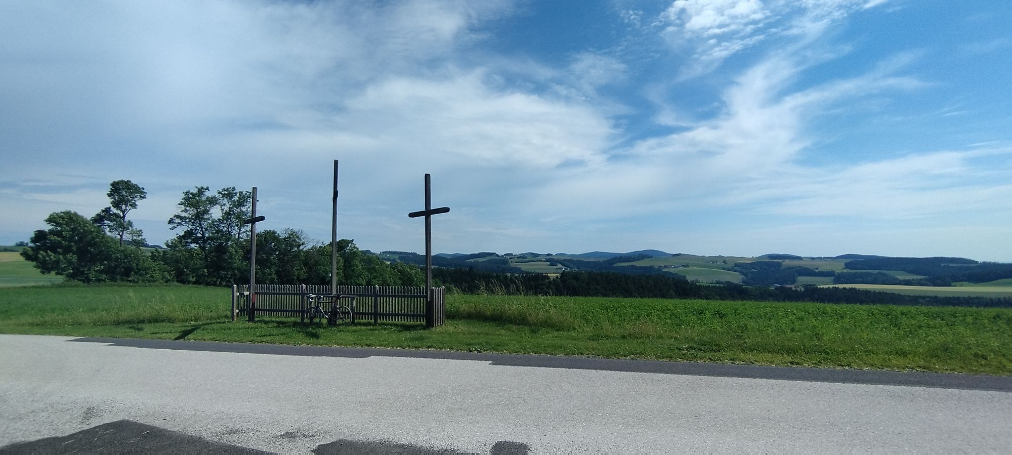
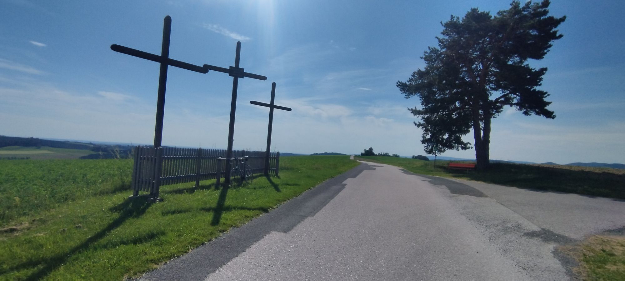
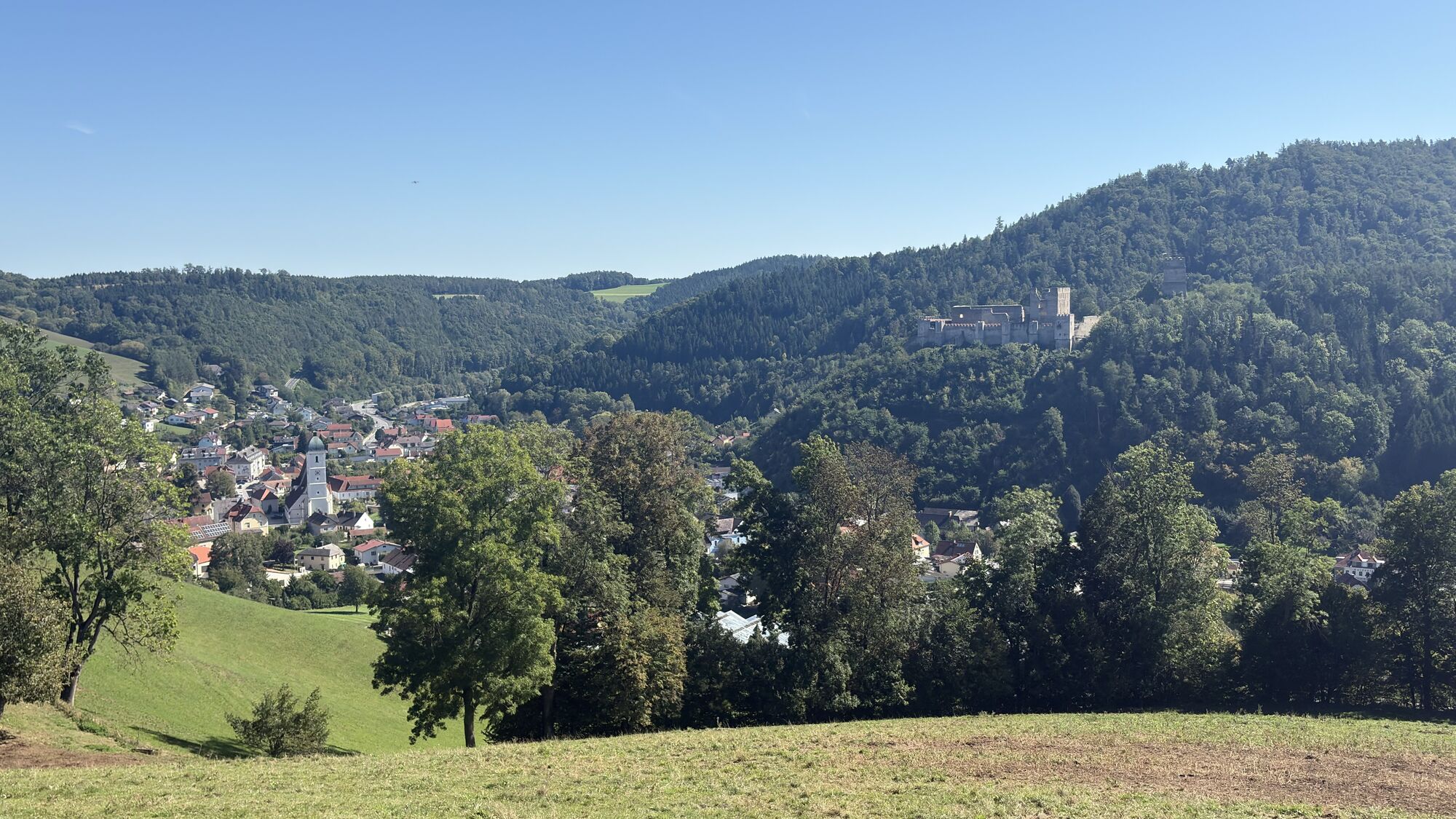
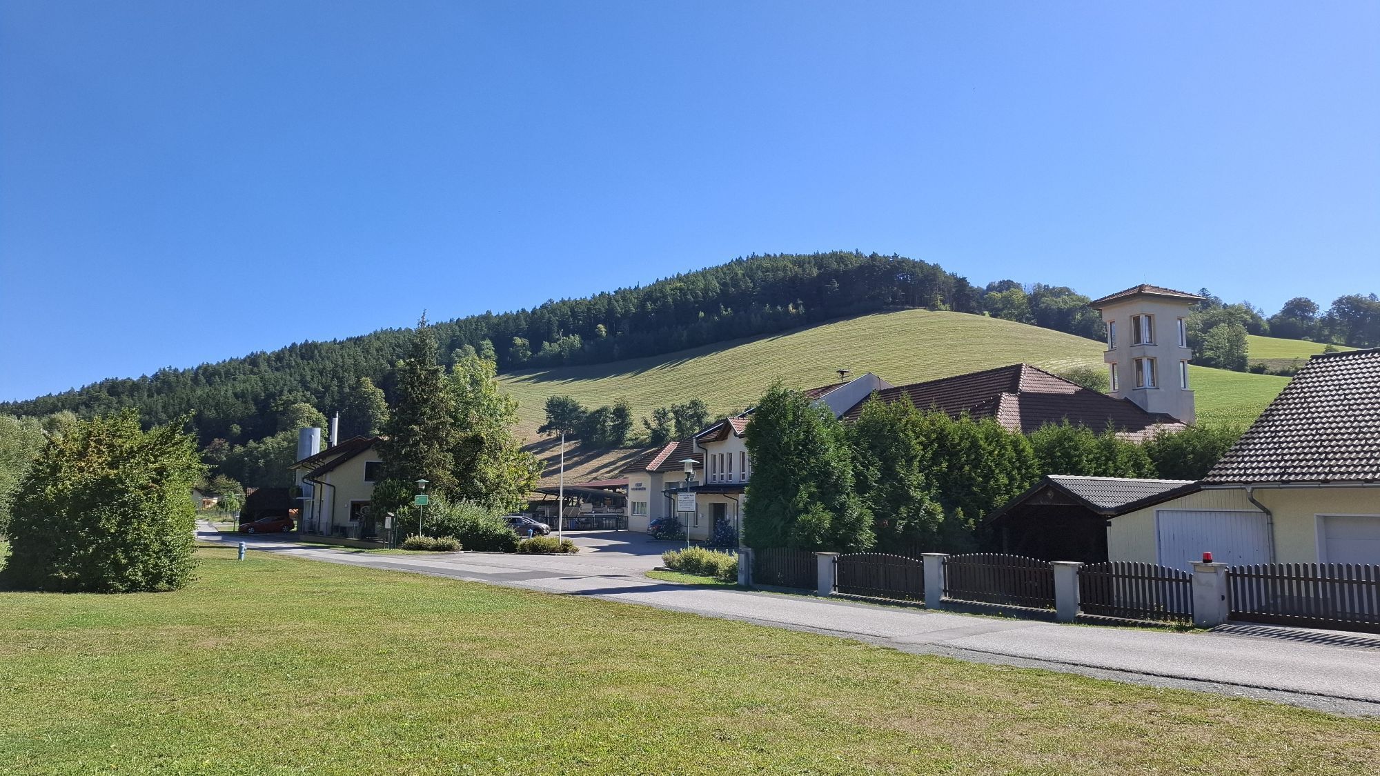

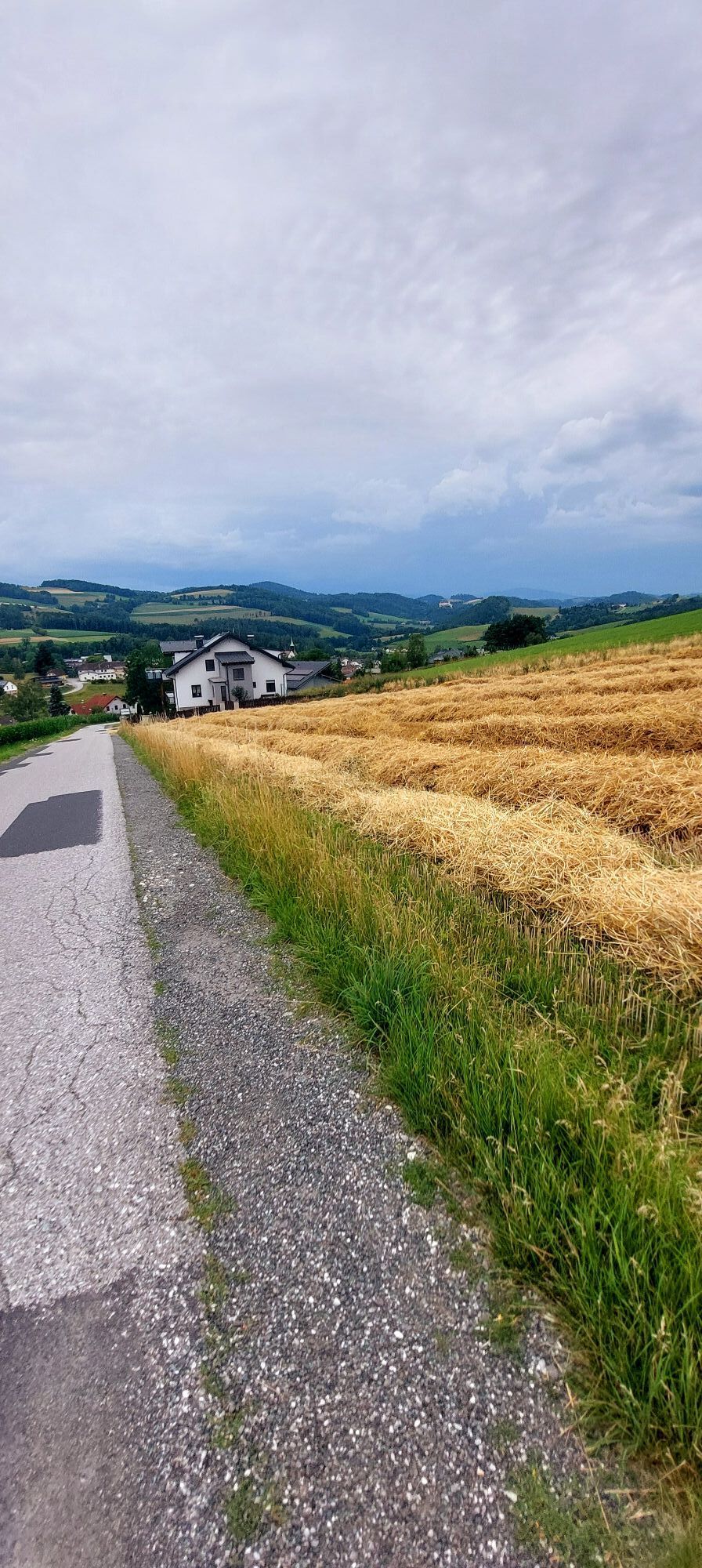
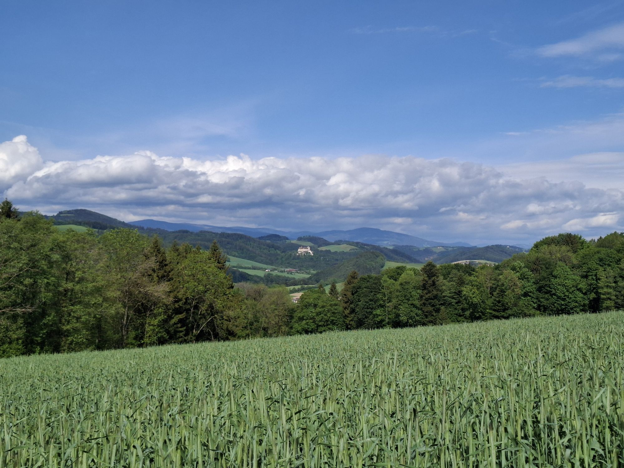
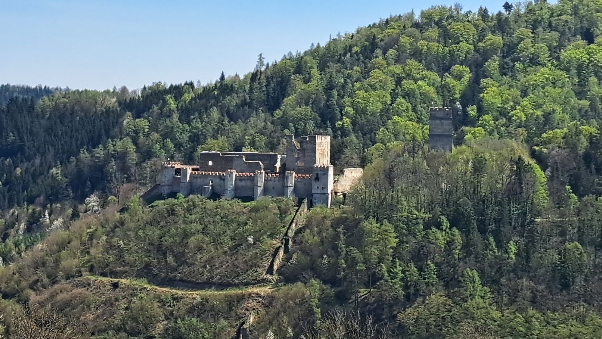
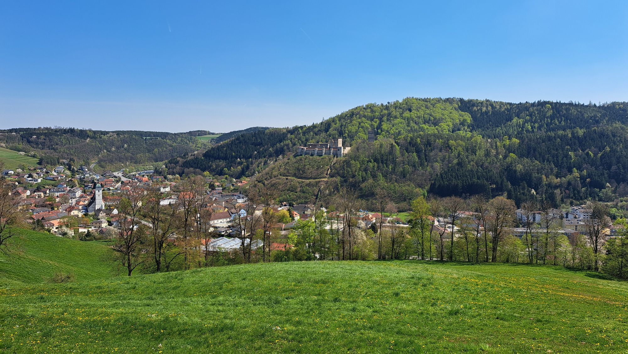
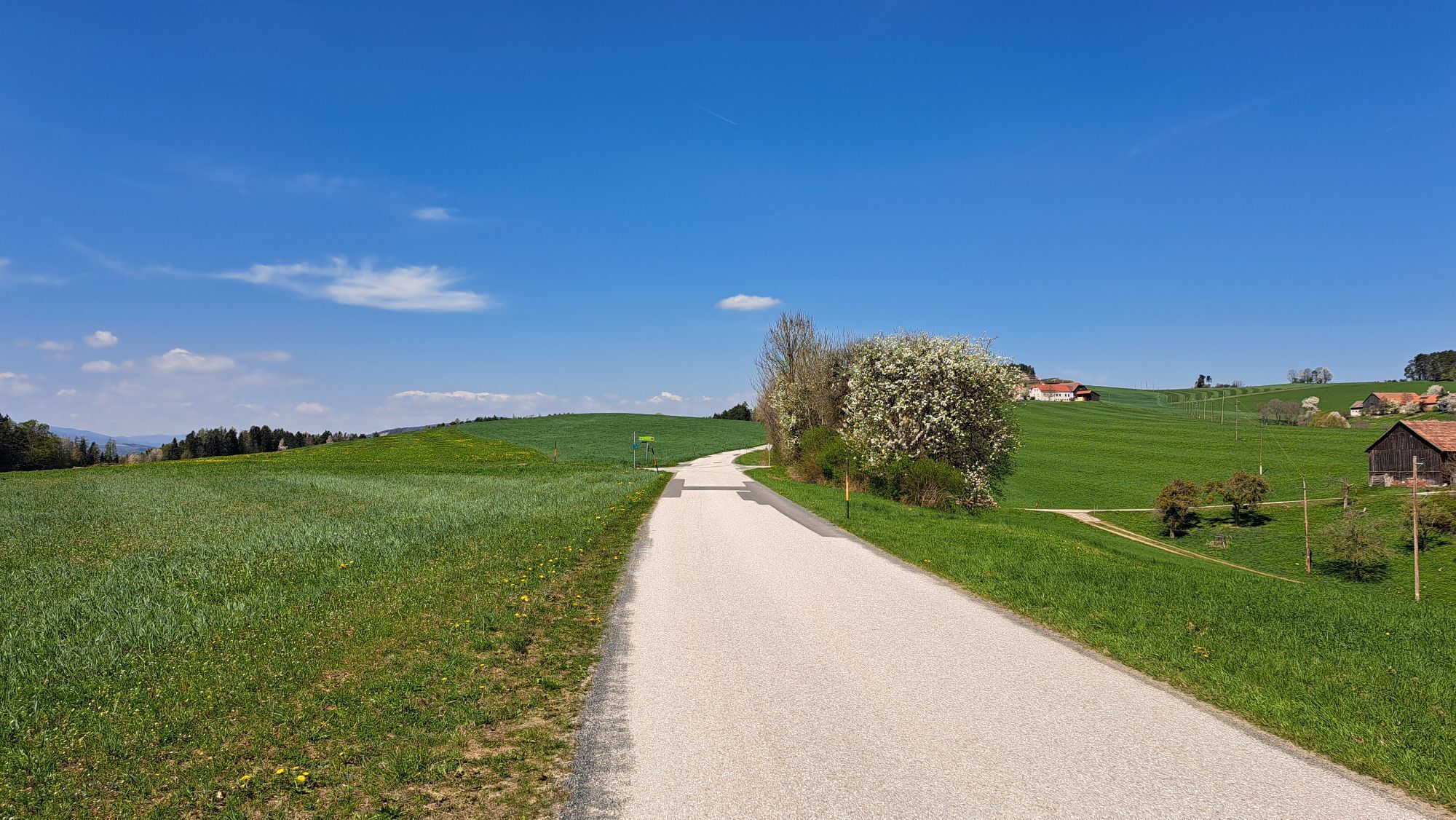
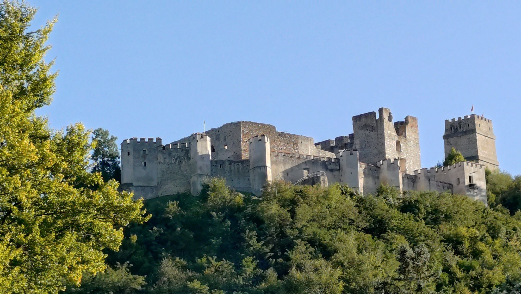
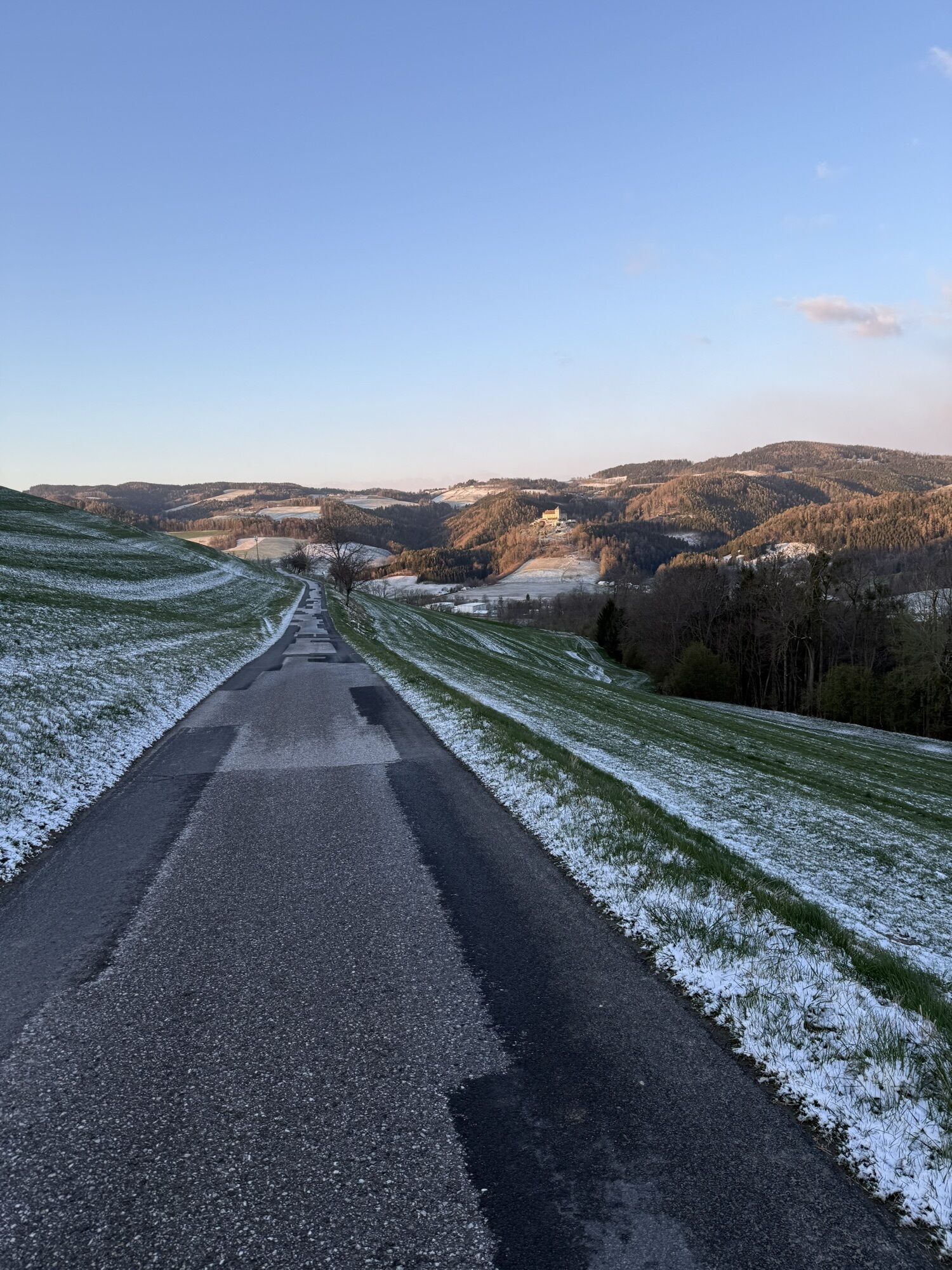
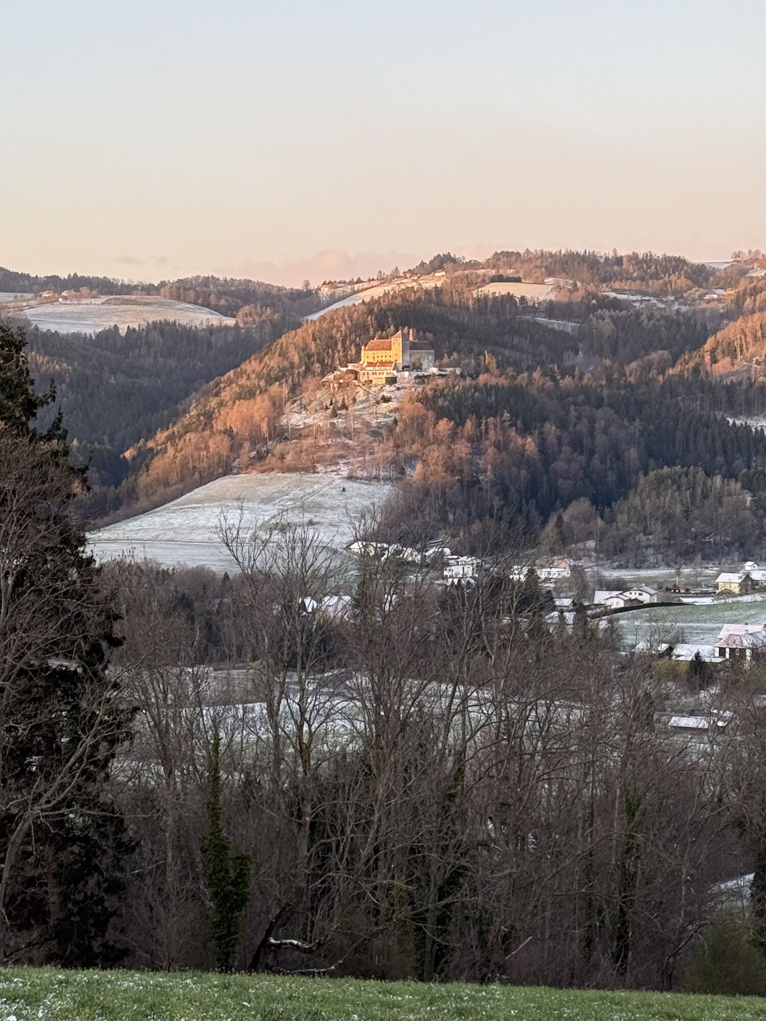
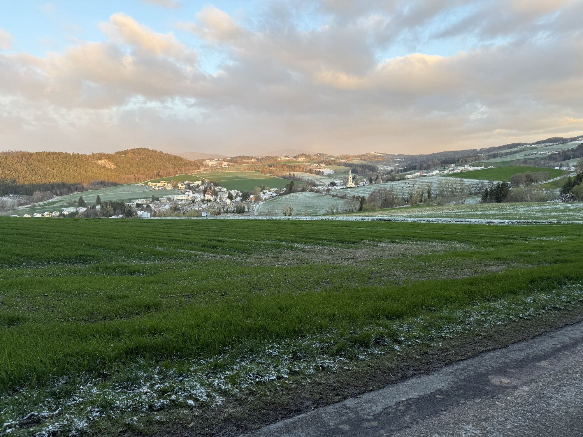
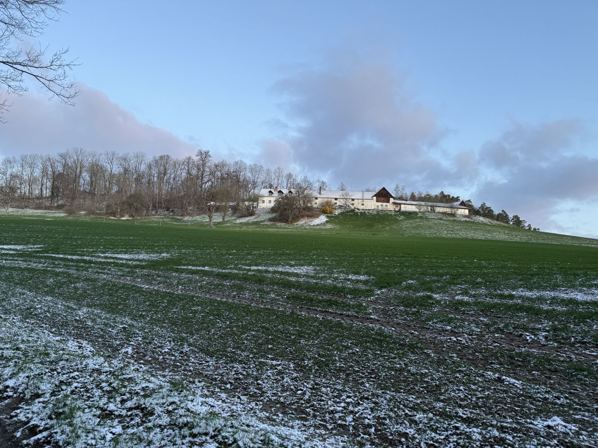
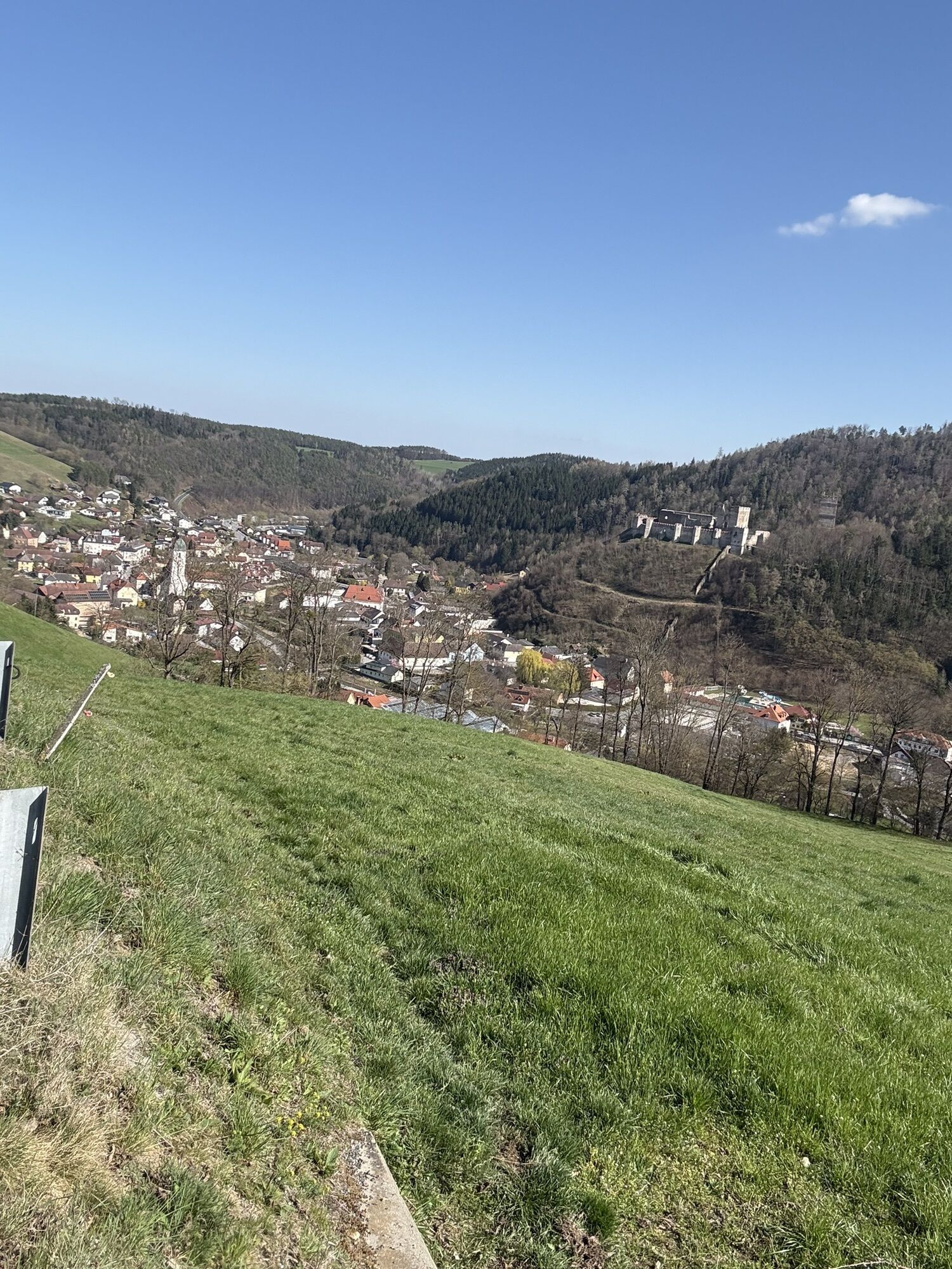
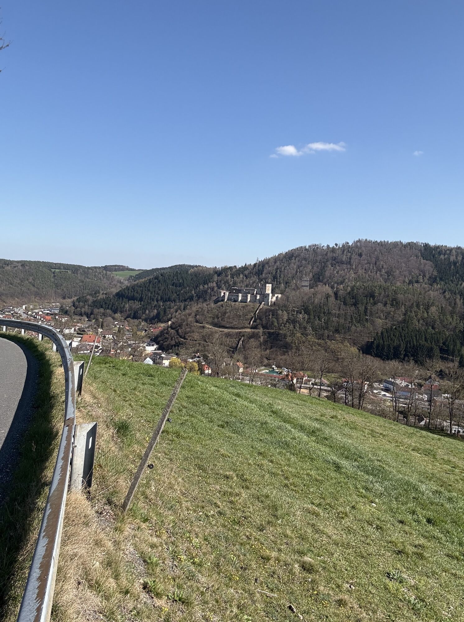
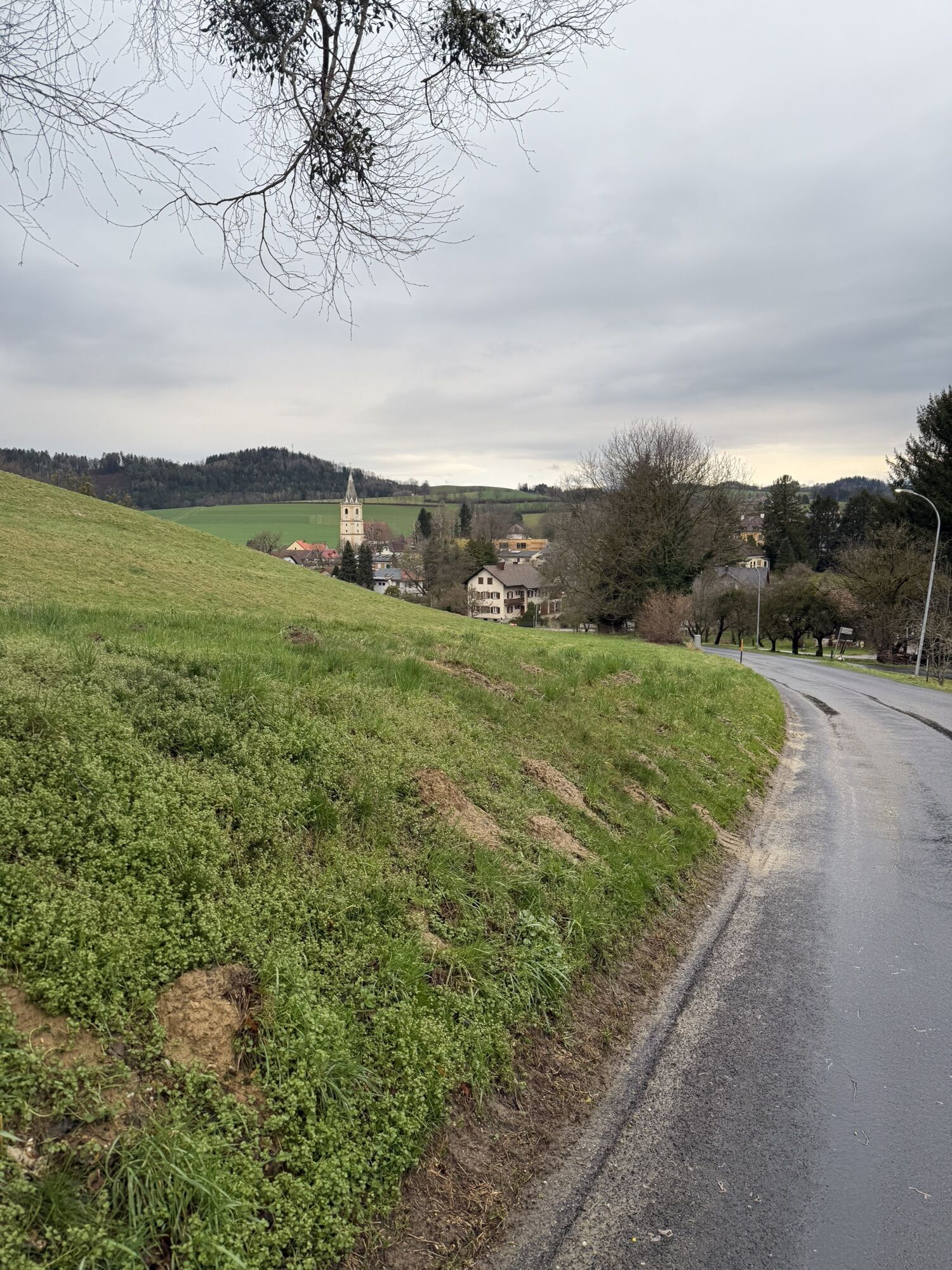
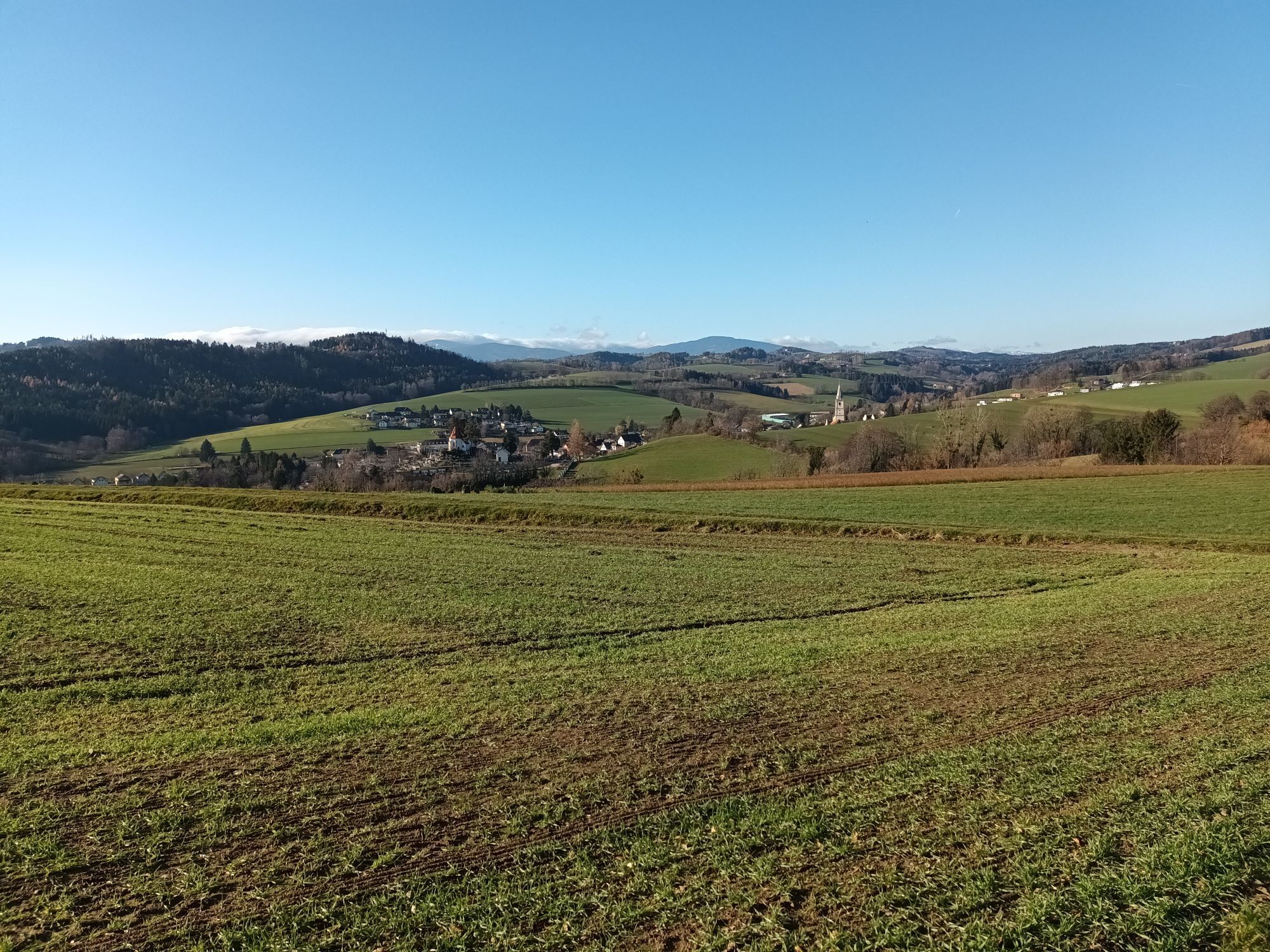
The tour leads along low-traffic side roads from Krumbach via Tiefenbach and Straß to Kirchschlag, where there are spectacular views of the 1000 hills and the ruins of Kirchschlag Castle. From Kirchschlag,...
The tour leads along low-traffic side roads from Krumbach via Tiefenbach and Straß to Kirchschlag, where there are spectacular views of the 1000 hills and the ruins of Kirchschlag Castle. From Kirchschlag, the route leads over the Niklasberg (or alternatively the Zöbernbach cycle path) to Bad Schönau and back to Krumbach via the Katzentürl.
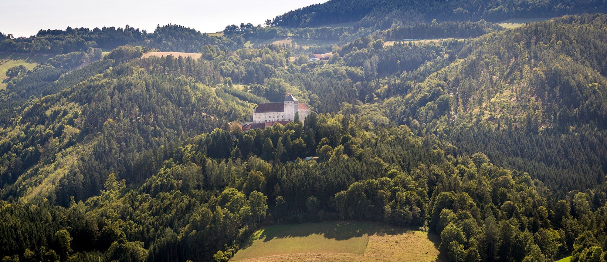
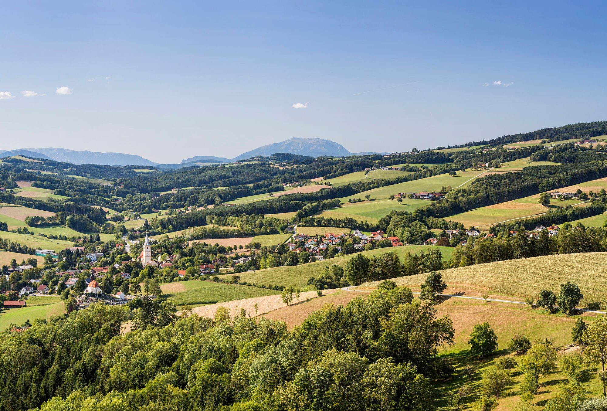

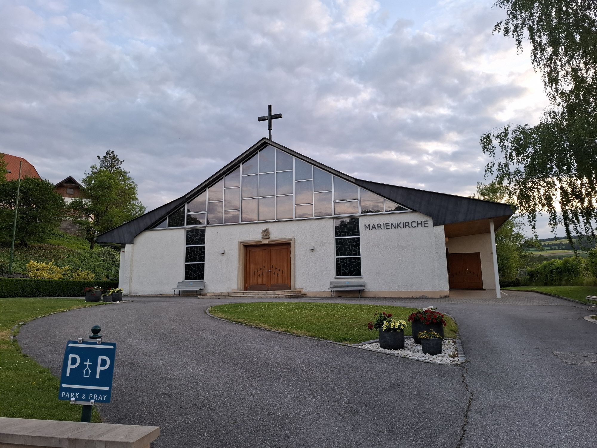
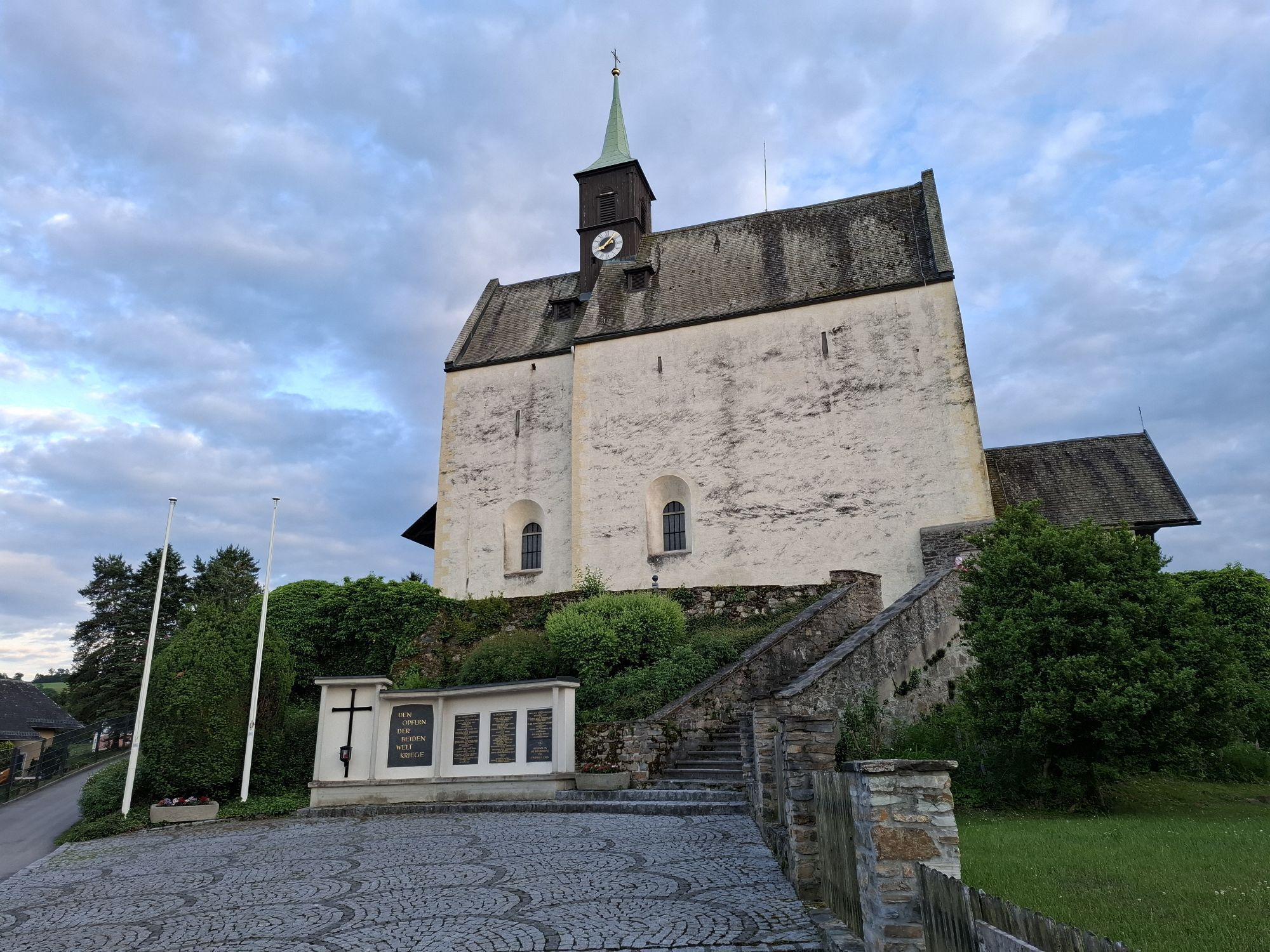
The route starts in Krumbach at the municipal car park. Head towards the municipal office, then turn left and at the right curve turn left again. Then follow the signposts towards Tiefenbach. Pass the Buchegger inn and continue uphill, on to Straß and follow the signs to Kirchschlag. Via the main square, continue towards Bad Schönau. After leaving Kirchschlag, turn left after Motorsport Knöbel onto the Niklasberg, via Ungerbach and Maierhöfen leading to Bad Schönau. Those who want to avoid the altitude gain over the Niklasberg can follow the Zöbernbach cycle path from Kirchschlag to Bad Schönau. Go through the town and cross the B55, then pass the Triad. There is still an ascent to the Glanzriegen, after which the route leads over the Katzentürl back to Krumbach. At the Rosenkranz chapel, there are once again beautiful views of Krumbach and its surroundings. The route runs on little-trafficked roads.
When going out, we recommend wearing a bike helmet. Wear appropriate clothing and sturdy shoes. Remember rain and sun protection. Take enough to drink with you.
Make sure when choosing the route that it matches your experience and fitness level. Check the weather forecast in advance.
Coming from Vienna, follow the A2 to the Krumbach exit. Then take the B55 to Krumbach.
Coming from Graz, take the A2 to L137, follow the Aspang exit. From L137, take the B55 to Krumbach.
From Vienna and Graz, the ÖBB goes via Wr. Neustadt to Edlitz-Grimmenstein station. From there, the bus goes to the town of Krumbach.
More info on route planning: fahrplan.oebb.at and anachb.vor.at.
Parking spaces at the municipal car park where the route starts.
Responsible for the content of this tour
Vienna Alps in Lower Austria - Bad Schönau
Last update: 30.10.2025
Along the route you will find not only great views but also many opportunities to stop for refreshments.
Získajte prehľad
Vždy naživo na mieste s viac ako 9 500 webovými kamerami. bergfex Ako používateľ Pro si teraz môžete pozrieť príslušné webové kamery pre mnohé zájazdy v aplikácii zájazdy z. Môžete si tak priamo prezerať aktuálne podmienky.
Obľúbené výlety v okolí
-
4,2
"Weg der Blicke"
svetloTuristika 5,86 km -
4,4
Bad Schönau - Hutwisch
svetloTuristika 9,99 km -
4,4
B53 Edelserpentin
strednáCyklistika 23,5 km -
4,4
BAD-SCHÖNAU Hutwisch und wieder zurück 20220611
strednáTuristika 10,8 km -
4,8
Bakabu children's adventure trail to Hutwisch
strednáTematická trasa 5,42 km -
2,9
Sonnenland Draisinentour
svetloCyklistika 23,0 km -
4,8
B41 Zöberntal-Rabnitztal cycle trail
strednáCyklistika 40,7 km -
5,0
Geschriebenstein Roas
ťažkéTuristika 55,3 km -
4,5
Glasgraben route
strednáTuristika 12,9 km -
3,8
Willersdorf - Willersdorfer Schlucht - Kreuzberg - Aschau im Burgenland
strednáTuristika 9,41 km
Turistika a stopovanie


Nenechajte si ujsť ponuky a inšpiráciu na ďalšiu dovolenku
Vaša e-mailová adresa bol pridaný do poštového zoznamu.





