


Edelbergweg
Along vineyards – Rohrendorf – cellar lane – Dietmannsdof – beautiful view of the wine town of Pulkau
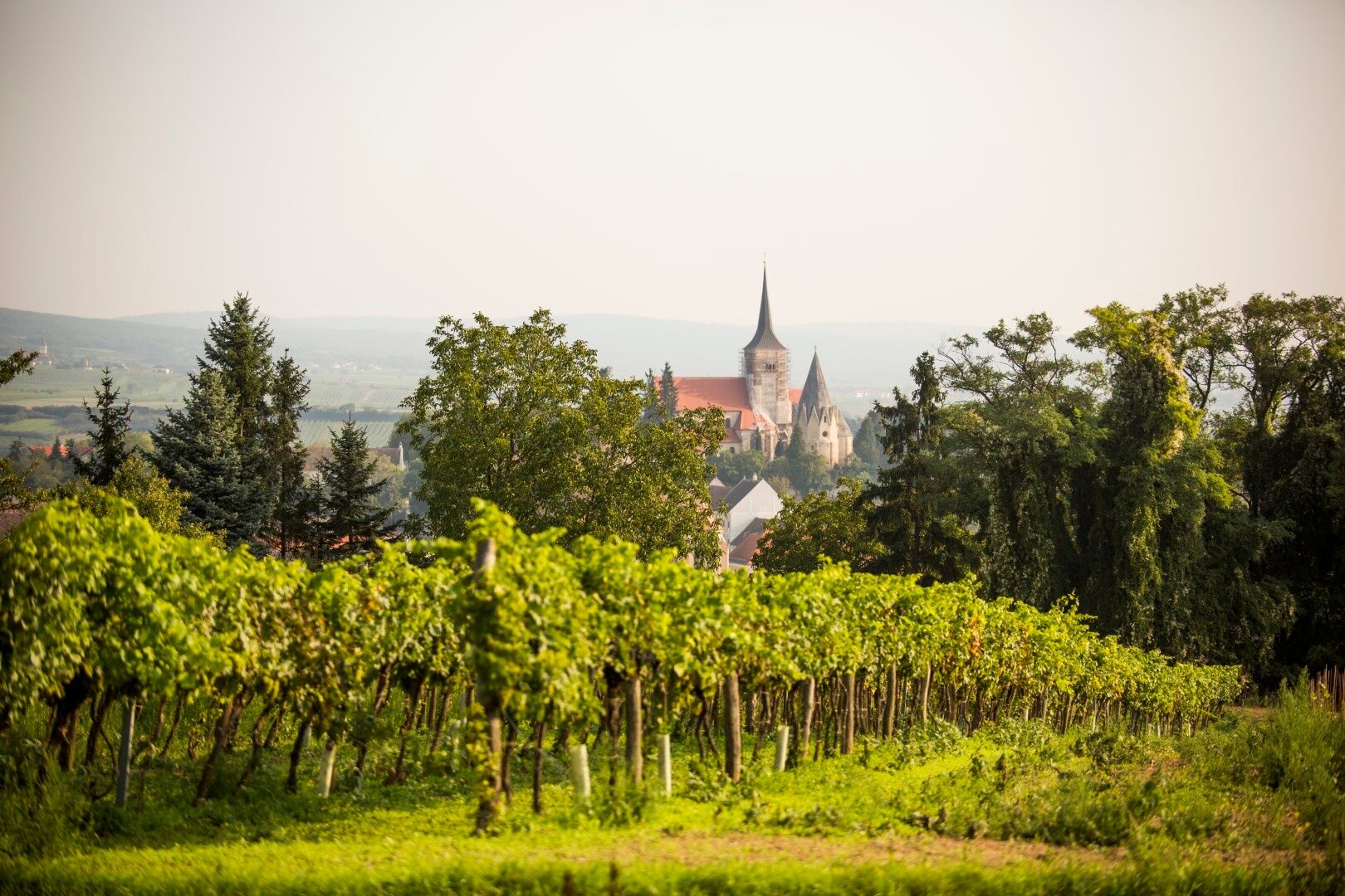
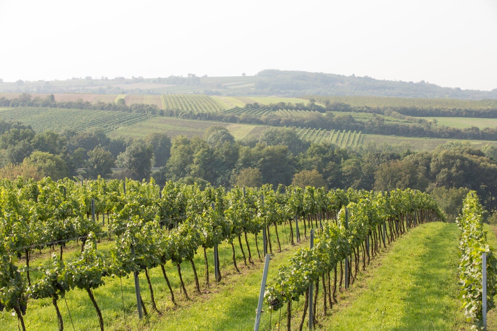
Surrounded by vineyards and orchards, the small town of Pulkau with about 1,500 inhabitants lies at...
<p>Along vineyards – Rohrendorf – cellar lane – Dietmannsdof – beautiful view of the wine town of Pulkau
</p><p>Surrounded by vineyards and orchards, the small town of Pulkau with about 1,500 inhabitants lies at the transition between the forest and wine quarter in a landscape reminiscent of Tuscany and bears witness to its historical past.</p><p><strong>Tip: Picnic in the vineyard</strong></p><p>On all the wine hiking trails you can enjoy a picnic at a viewpoint rest stop. The basket is filled with regionally typical delicacies, a bottle of peppery-spicy Grüner Veltliner (or also gladly a bottle of grape juice) and a bottle of water. Look into and listen to nature, let the vastness and tranquility take effect, forget everyday life and simply enjoy the moment (bookable for two or more people at +43 (0) 664 3520006 or office@weingut-kellner.at)</p>

<p>Pass the pillory on the right, then turn left before the bridge. Along the Pulkau to the playground. After it ends, turn left into the alley and at its end turn left again, through the settlement and then right. After the bridge, turn left to the road. Here, turn left along the roadside behind the guardrail until just before the roundabout. Cross the street to the right and follow the “Neubruch”. Before the first house in Rohrendorf, turn left through the cellar lane to the main road. Follow this to the left to the highest point, then turn right. For a long time, just pass vineyards until an asphalt path. Right downhill to the Pulkau and uphill again. Continue up over the federal road. Back in the vineyards, right to Rohrendorf and along the left side of the road to the fire station. Left and after a short distance right. Always straight ahead, slightly uphill, over the federal road, past vineyards and orchards with a very beautiful view of Pulkau. After passing some cellars and presses on the left side of the road, walk just before the intersection. Cross the street to the right and downhill to Pulkau. Before the bridge, turn left and cross the next bridge to the right. Only a few steps to the starting point Town Hall Square.</p>
<p>Bus to Pulkau</p>
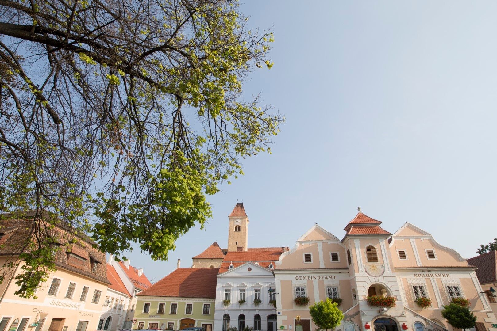
<p>Town Hall Square</p>
Responsible for the content of this route
Weinviertel Tourismus GmbH
Last updated: 13.11.2025
We recommend a visit to the churches of Pulkau. Contact: +43 (0) 676 600 1220 or pfarramt.pulkau@aon.at
Obľúbené výlety v okolí
-
4,4
DAC Radtour-Weinviertel
strednáCyklistika 55,1 km -
4,1
»tut gut« Wanderweg Pulkau | Route 2
strednáTuristika 7,29 km -
4,5
Kellergassenrundwanderweg
strednáTuristika 8,69 km -
5,0
Ruine Kaya - Thaya Aussichtspunkt
svetloTuristika 6,82 km -
3,5
Stone & Wine
strednáTuristika 10,8 km -
2,6
Chardonnay-Radtour
Cyklistika 33,5 km -
5,0
Eggenburg und Kogelsteine
svetloTuristika 8,25 km -
4,7
Über NP Thaya zu historischen Städten / Etappe 2 Retz - Znaim
svetloTuristika 17,2 km -
4,5
Bergrunde
strednáTuristika 5,18 km -
4,0
»tut gut« Wanderweg Pulkau | Route 3
strednáTuristika 6,52 km

Turistika a stopovanie


Nenechajte si ujsť ponuky a inšpiráciu na ďalšiu dovolenku
Vaša e-mailová adresa bol pridaný do poštového zoznamu.