
Elfasrunde
ťažké
Získajte túto prehliadku v mobilnom telefóne
Elfasrunde
ťažké
Cyklistika
40,15
km
Naskenujte kód QR a spustite navigáciu v aplikácii bergfex


Turistika a stopovanie





Elfasrunde
ťažké
Vzdialenosť
40,15
km
Trvanie
03:03
h
Ascent
409
hm
Hladina mora
111 -
387
m
Stiahnutie skladby
Elfasrunde
ťažké
Cyklistika
40,15
km
The circular route runs about 40.2 kilometers through the northwestern urban area of Einbeck, passing through a varied landscape with many small woods, extensive fields, and hilltops with wonderful views...
Opis
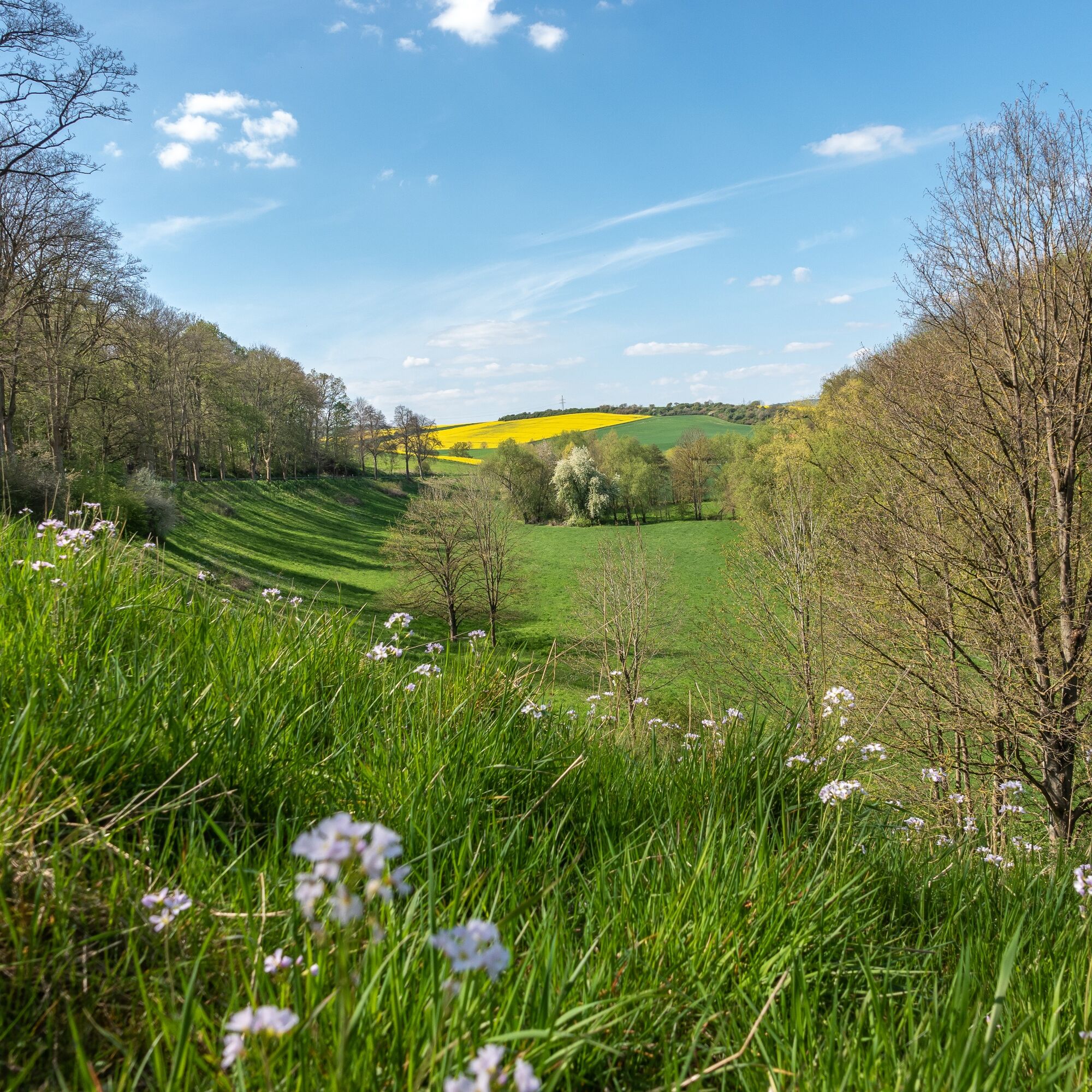
The circular route runs about 40.2 kilometers through the northwestern urban area of Einbeck, passing through a varied landscape with many small woods, extensive fields, and hilltops with wonderful views of the countryside.
Trasa
Einbeck
(112 m)
Mesto
0,0 km
Kuventhal
(134 m)
Dedina
3,6 km
Ahrensberg
(405 m)
Summit
18,3 km
Lüthorst
(184 m)
Dedina
22,8 km
Deitersen
(153 m)
Zúčtovanie
27,8 km
Kohnsen
(140 m)
Dedina
33,4 km
Einbeck
(112 m)
Mesto
40,0 km
Trasa
Elfasrunde
ťažké
Cyklistika
40,15
km
Einbeck
(112 m)
Mesto
0,0 km
Krumme Wassermühle
(117 m)
Zúčtovanie
1,1 km
Kuventhal
(134 m)
Dedina
3,6 km
Bartshausen
(204 m)
Dedina
5,8 km
Avendshausen
(210 m)
Dedina
8,4 km
Ahrensberg
(405 m)
Summit
18,3 km
Lüthorst
(184 m)
Dedina
22,8 km
Erichsburg
(160 m)
Zúčtovanie
26,6 km
Deitersen
(153 m)
Zúčtovanie
27,8 km
Bartels Scheune
(153 m)
Reštaurácia
27,9 km
Kohnsen
(140 m)
Dedina
33,4 km
Krumme Wassermühle
(117 m)
Zúčtovanie
38,3 km
Einbeck
(112 m)
Mesto
40,0 km

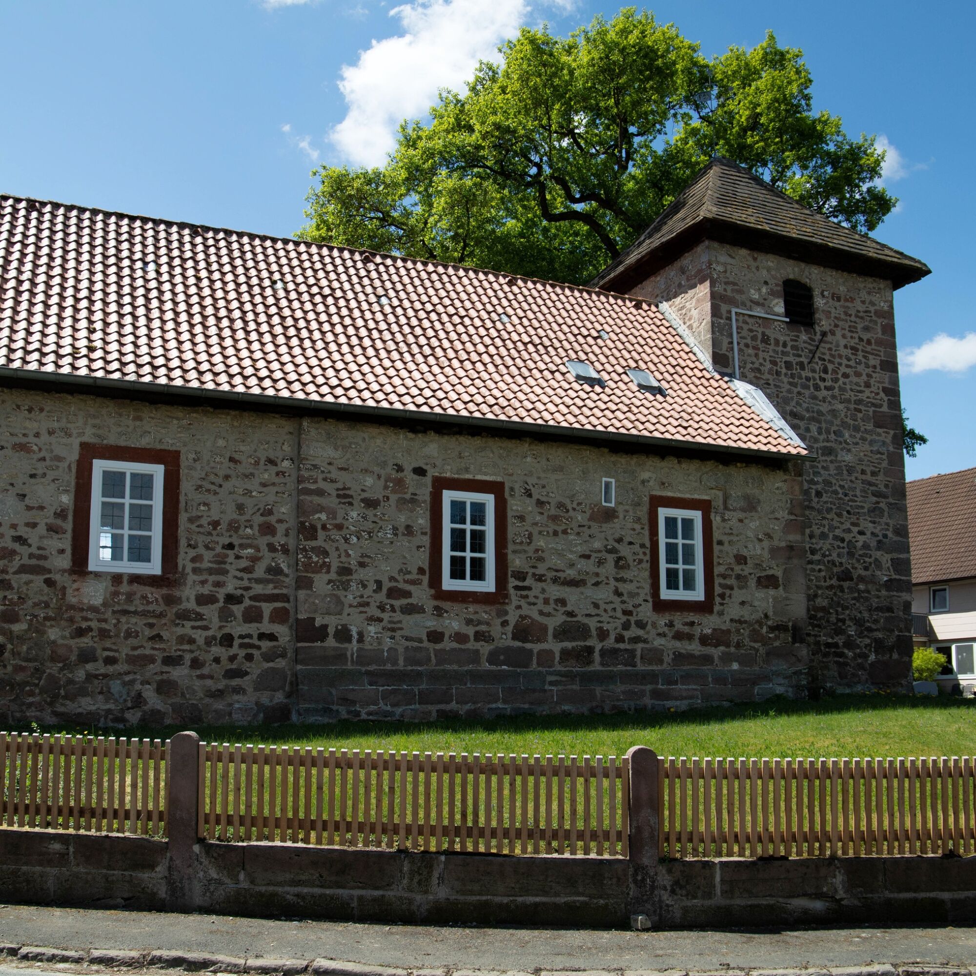
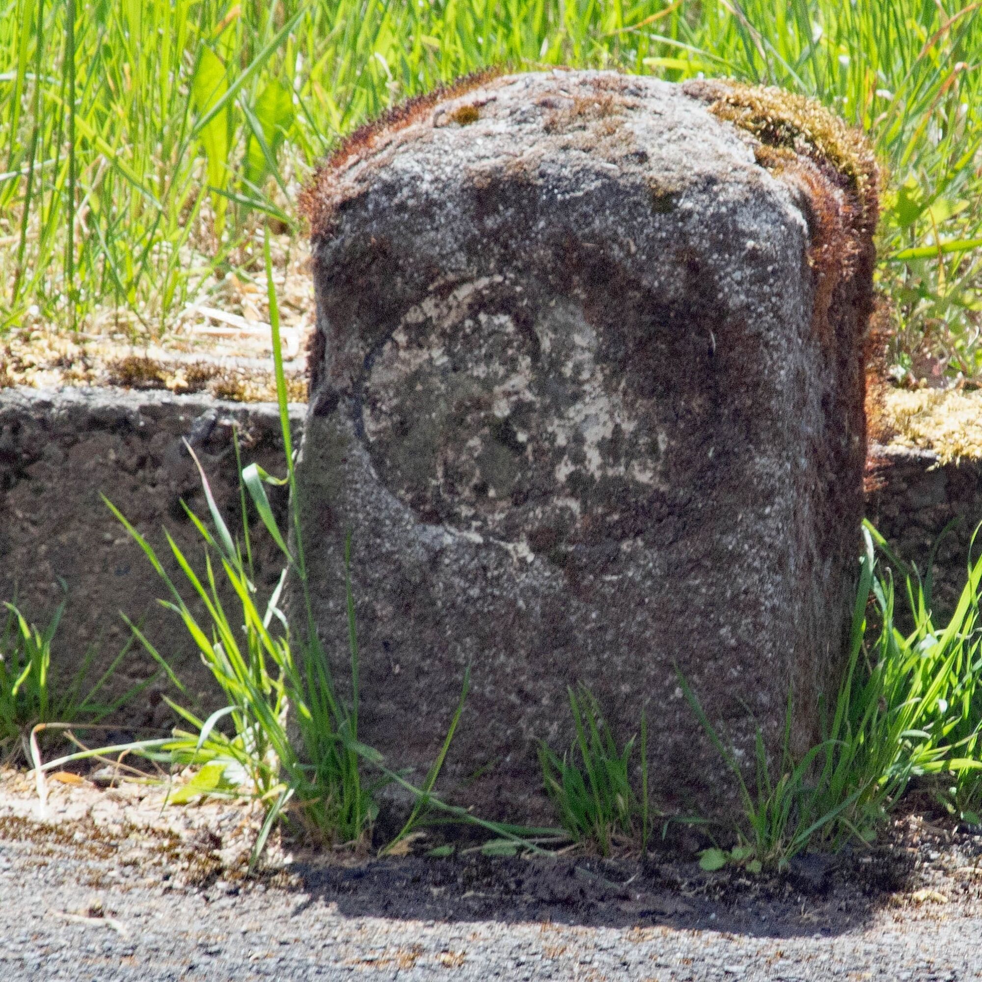

Informácie o trase
Trasa
The tour starts at Carl-Diem Weg from there you ride towards Kuventhal along the Krummen Wasser.
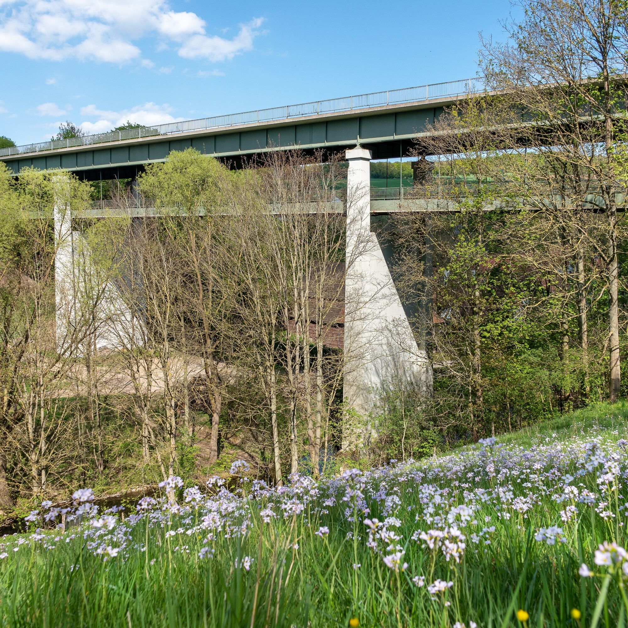
TIP: From the Wilhelms Bridge you have a great view of the nature and surroundings.
After crossing the Wilhelms Bridge, you continue towards Bartshausen and Avendshausen.
You then ride through varied landscapes and through Rengershausen. From there you head to the Ahrensberg and then take the fast downhill ride towards Lüthorst. From Lüthorst you head towards Deitersen. From there you return in the direction of Einbeck.
Informácie o príchode
Príchod
Start/Finish point
You can reach the starting point of the circular route from the Marketplace via the Tiedexer Street towards the Tiedexer Gate. Go through the Tiedexer Gate past the PS.SPEICHER – Europe’s largest classic car collection – and after 300 meters turn right into Iven Street.
About 100 meters more and you will reach the old sandstone bridge. After crossing the bridge you are at the start of the tour and can orient yourself using the route overview
in the display case.
From here follow the bike path about 200 meters north, cross the main road and continue on Iven Street until roughly the height of the Riding and Driving Club.
Here the bike path turns left onto Riesswarte.
You can reach the starting point of the circular route from the Marketplace via the Tiedexer Street towards the Tiedexer Gate. Go through the Tiedexer Gate past the PS.SPEICHER – Europe’s largest classic car collection – and after 300 meters turn right into Iven Street.
About 100 meters more and you will reach the old sandstone bridge. After crossing the bridge you are at the start of the tour and can orient yourself using the route overview
in the display case.
From here follow the bike path about 200 meters north, cross the main road and continue on Iven Street until roughly the height of the Riding and Driving Club.
Here the bike path turns left onto Riesswarte.
Zatiaľ žiadne recenzie
Obľúbené výlety v okolí
-
5,0
Ithwiesen und Kleiner Stern (Hz 2)
svetloTuristika 9,60 km -
Hilskammweg (Gr 1)
strednáTuristika 14,5 km -
On the ridge trail to the Raabe Tower (Hz 3)
svetloTuristika 5,98 km -
Lebensraumroute - Das Hellental große Runde
Tematická trasa 6,73 km -
Sandstone Adventure Route Arholzen
Tematická trasa 2,90 km -
Tour "In the footsteps of Wilhelm Busch"
svetloTematická trasa 4,03 km -
Route 16: Solling-Vogler-Region
Mountainbike 164,9 km -
VitalWeg 2 – Auszeit auf weiter Flur rund um Kuventhal
strednáNordic Walking 6,82 km -
Lebensraumroute - Der Eichenwald im Solling große Runde (LRR 3)
Tematická trasa 4,72 km -
VitalWeg 2 – Auszeit auf weiter Flur rund um Kuventhal
strednáTuristika 6,83 km
Turistika a stopovanie

Viac ako 550.000 návrhov výletov, podrobné mapy a intuitívny plánovač trás robia z aplikácie povinnú výbavu pre všetkých nadšencov prírody.

Nenechajte si ujsť ponuky a inšpiráciu na ďalšiu dovolenku
Prihlásiť sa k odberu noviniek
Chyba
Vyskytla sa chyba. Prosím, skúste to znova.
Ďakujeme za vašu registráciu
Vaša e-mailová adresa bol pridaný do poštového zoznamu.
Zájazdy po celej Európe
Rakúsko
Švajčiarsko
Nemecko
Taliansko
Slovinsko
Francúzsko
Holandsko
Belgicko
Poľsko
Lichtenštajnsko
Česko
Slovensko
španielsko
Hrvaška
Bosna a Hercegovina
Luxembursko
Andorra
Portugalsko
Island
Spojené kráľovstvo
Írsko
Grécko
Albánsko
Severné Macedónsko
Malta
Nórsko
Čierna Hora
Moldavsko
Kosovo
Maďarsko
San Maríno
Rumunsko
Estónsko
Lotyšsko
Bielorusko
Cyprus
Litva
Srbsko
Bulharsko
Monako
Dánsko
Švédsko
Fínsko





