







Habitat route - The Hutewald in Solling demonstration enclosure and observation tower


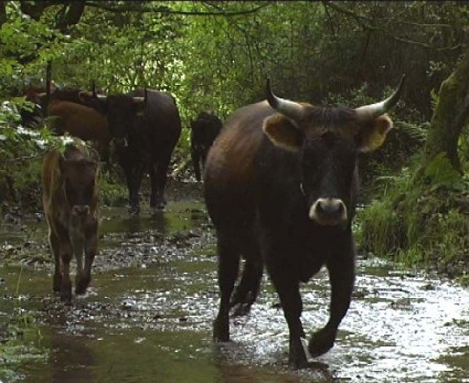
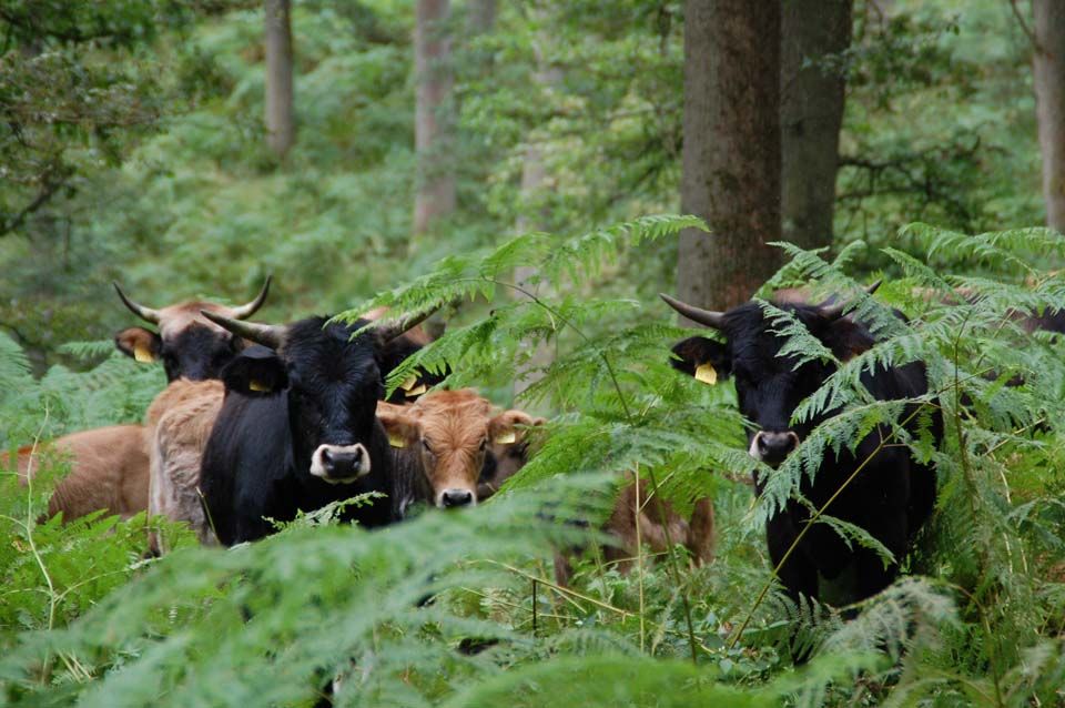
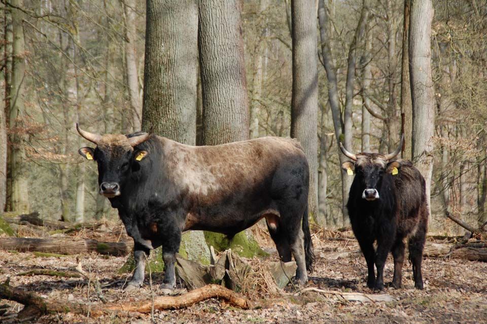
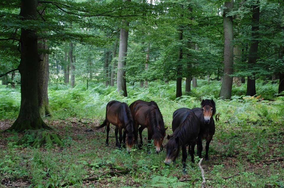
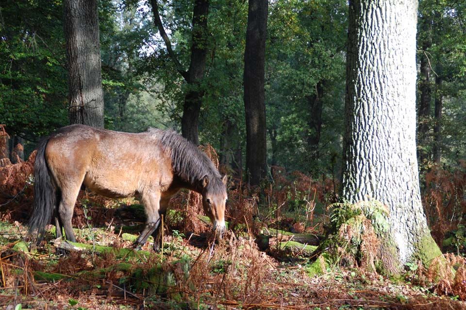
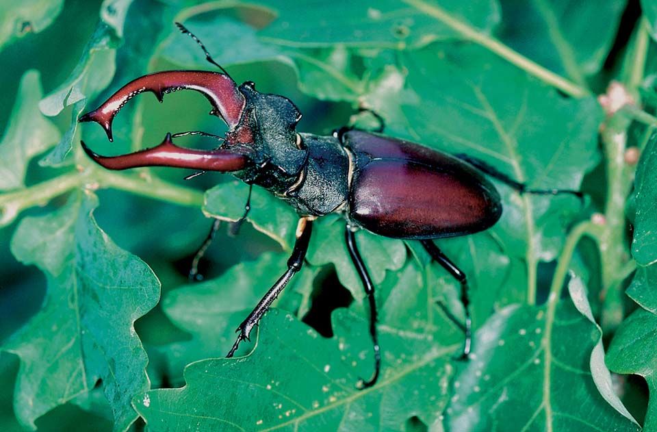
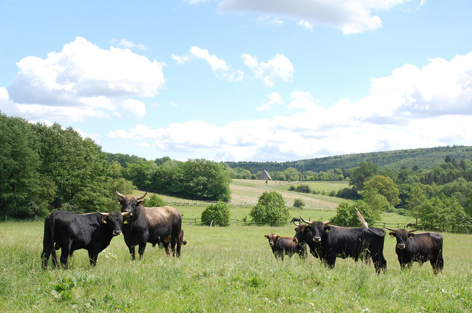

Start your hike on the Hutewald habitat route best near Nienover Castle. At the parking lot there, you can begin your hike by informing yourself on a welcome board about what to expect on this habitat route. The well-marked hiking trail first runs on a gravel path below Nienover Castle, along the same route as the quality hiking route “XW = Weserbergland path.” After about 600 m, you reach an intersection; shortly before, on the right-hand side, you saw the idyllic forest lake “Karolinenteich.” Turn right at the intersection and follow the gravel road for another 130 m until you reach another junction. To the right, somewhat hidden behind the trees, there is a great rest area with play facilities for children. There is access to the Karolinenteich, near which there is also a landscape lounger. However, the actual hiking trail runs to the left, branching off onto a narrow path into the forest. You make a wide loop of about 250 m through the forest, then come back to a wider gravel path, where you turn left. On the right side, you see large pasture areas and a brook lined with alders. Here you can often observe Heck cattle or Exmoor ponies. Almost 300 m further, you reach a fork. At this point, you can make a detour to an observation tower, from which you have a good view of the project area “Hutewald” with its pastures and typical coppice woods. This detour is just over a kilometer long. You walk on a gravel road, then on meadow paths, and finally on a small path to the observation tower. The path is very well marked. You return on the same path to the fork. Here you continue straight ahead, first through a small gate next to a cattle grid. You hike parallel to a brook with adjacent small pasture areas. With a bit of luck, you meet free-roaming Exmoor ponies, which you need not be afraid of. In a small pavilion, you can take a seat and enjoy the scene. Some information boards explain this place. About 360 m after the last fork, you turn left and go steeply uphill on a narrow path into the forest. Along this path, you come across three information boards that tell you about life in the forest. After about 450 m, you reach the highest point of this habitat route. You go through a gate and turn left. Here you see, among other things, a bench where you can take a break. The path now leads always straight downhill along a fence that limits the Hutewald project area on this side. You are walking on natural ground, meaning that in wet weather, the path can be a bit muddy and slippery. After about 1.3 km downhill, you reach a crossing you already know. Go diagonally straight on the gravel path; on the left, you can already see the Karolinenteich. You now return on the same route as on the way out, after about 600 m back to the starting point at the parking lot near Nienover Castle.
The habitat route is marked on both sides in every walking direction.
sturdy footwear
The Hutewald habitat route runs partly on small, somewhat rougher paths, so sturdy footwear is recommended.
For safety reasons, dogs are NOT allowed in the Hutewald.
Coming from Beverungen or Schönhagen on the B 241 to Amelith, then continue on the L 551 to Nienover. Alternatively, coming from Bodenfelde, go north on the L 551 to Nienover.
By train to Bodenfelde, then take bus line 214 to Bodenfelde-Nienover.
Parking lot Nienover
Solling-Vogler-Region in Weserbergland e. V.
Tourist Center
Lindenstraße 8
37603 Holzminden/ Neuhaus
Tel.: 05536/ 96097-0
info@solling-vogler-region.de
www.solling-vogler-region.de
Spring and autumn are the most beautiful times in the Hutewald when the leaves change color. However, this is a nice hike at any time of the year.
Obľúbené výlety v okolí
-
5,0
Weser-Radweg, 1. Etappe: Von Hann. Münden bis Höxter
strednáCyklistika 70,7 km -
Drenke - Handwerkerwald - Drenke
svetloTuristika 6,01 km -
5,0
Lunauborn (Schö 1)
strednáTuristika 9,27 km -
Panorama trail with view into the Weser valley (Bo 3)
svetloTuristika 8,75 km -
5,0
Höxter | Weser-Radweg Rundtour
svetloCyklistika 39,2 km -
Rund um den Wildberg
strednáTuristika 12,1 km -
Habitat Route - The Mecklenbruch large loop (LRR 5)
svetloTematická trasa 6,20 km -
Hochmoorgeist (S 1)
svetloTuristika 8,50 km -
Weserbergland Trail, 3rd Stage: Alternative Route
diaľková pešia trasa 18,7 km -
Lebensraumroute - Neuer Teich und Lakenteich (LRR 9)
Tematická trasa 6,28 km
Turistika a stopovanie


Nenechajte si ujsť ponuky a inšpiráciu na ďalšiu dovolenku
Vaša e-mailová adresa bol pridaný do poštového zoznamu.





