






Habitat Route - The Hasselbach in the Schießhäuser Valley small loop (LRR 7)

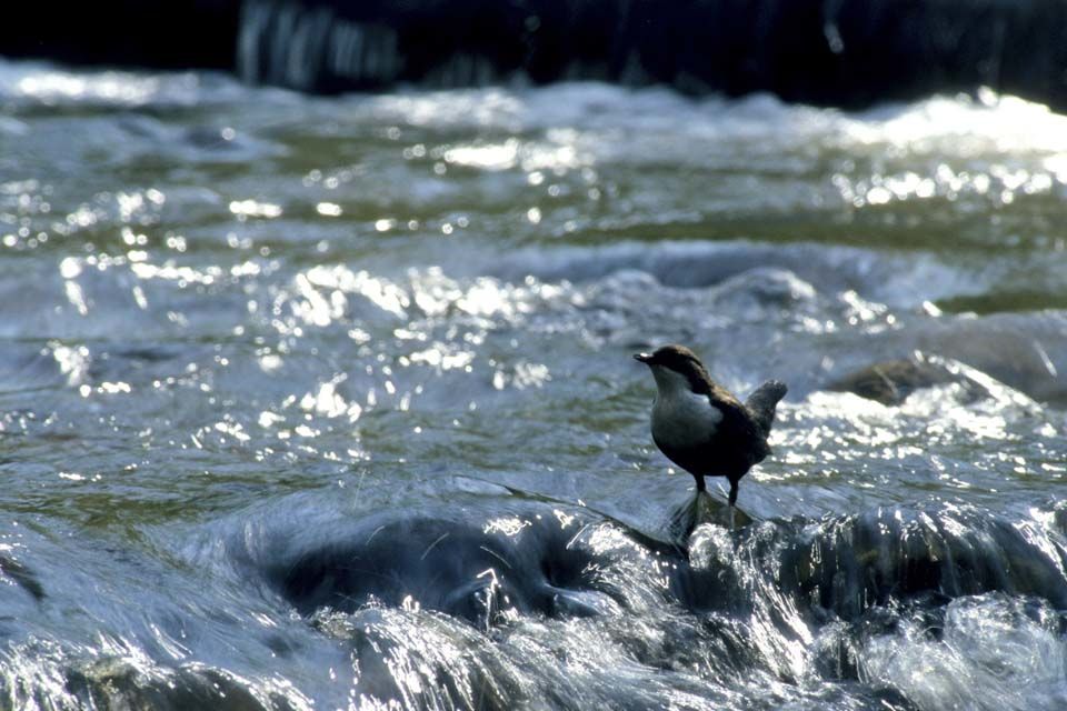
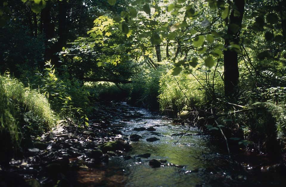
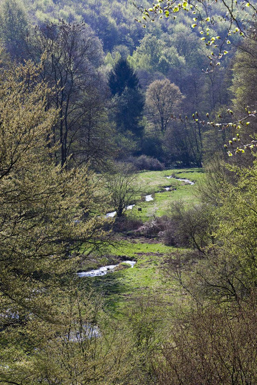
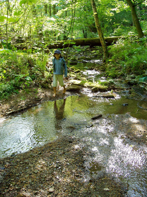
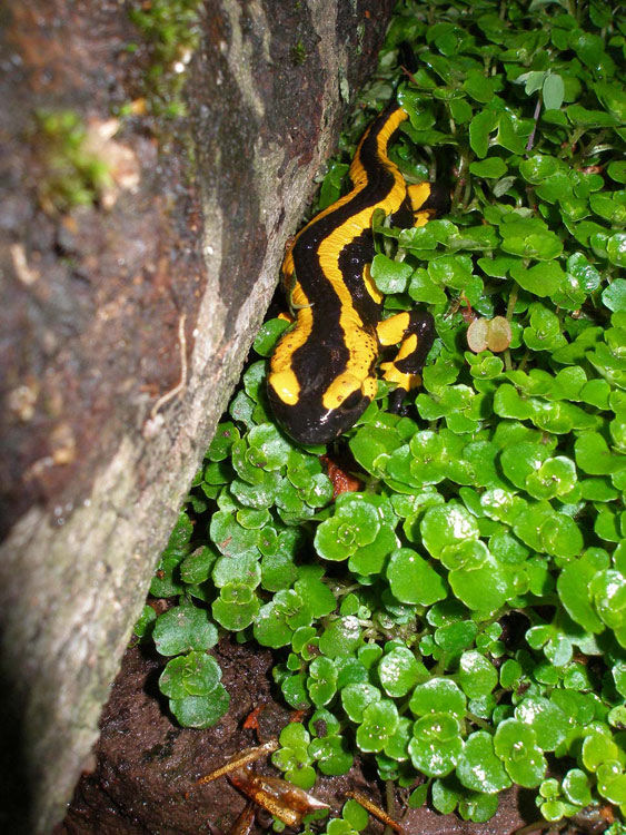

The route starts at the outskirts of Holzminden. There you can park at a car park on the B 497 at the town exit toward Silberborn and Neuhaus i. S. From the car park, the Hasselbachtal habitat route leads directly into the forest area of the Solling and the Hasselbachtal. The first 150 to 200 m go steeply uphill on a gravel road. After about 750 to 800 m, you reach a wooden signpost. Turn left and go steeply downhill on a narrow staircase. After about 150 m, you reach the Ullrich pond and the Hasselbach. At the Ullrich pond, you can enjoy the quiet of the valley on a landscape lounger in the shade and listen to the quiet splashing of the nearby stream. The small and large loops meet at the Ullrich pond. The path of the large and small loops is the same again from the Ullrich pond. You now walk directly along the Hasselbachtal, and can learn about the life on and in the stream from several information boards. About 200 m after the Ullrich pond, the route goes briefly downhill to the left. On the right side lies a meadow, on the left flows the stream. A wooden footbridge leads directly to the stream. The footbridge has benches and more information boards. Here you can spend some time. The habitat route continues straight ahead until you reach the outskirts of Holzminden after about 600 m. Soon you turn left twice; markings show the way. You go up a staircase and can let your gaze wander up the valley once more before you return after a further good 100 m to your starting point at the car park at the forest edge.
The habitat route is marked in both directions and for either direction of travel.
sturdy footwear, self-catering from backpack
The Hasselbachtal habitat route is mostly well-maintained and easy to walk. Only on the steep staircase downhill on the small loop do you need to exercise greater caution.
Via the B 64 or B 83 to Holzminden
By train to Holzminden. Then take bus line 510 to the stop Pipping/B497.
Car park in Pipping on the B 497 before the town exit of Holzminden
Solling-Vogler-Region in Weserbergland e. V.
Tourism Center
Lindenstr. 8
37603 Holzminden/Neuhaus
Phone 05536/960970
info@solling-vogler-region.de
www.solling-vogler-region.de
Best season: This route is easily accessible from the urban area of Holzminden and is recommended for a walk at any time of the year. Due to its relatively low elevation above sea level, snow does not accumulate very much here in winter. Therefore, this route is mostly easy to walk even in winter.
Obľúbené výlety v okolí
-
5,0
Lunauborn (Schö 1)
strednáTuristika 9,27 km -
5,0
Wandergebiet Köterberg - Panorama-Tour
strednáTuristika 4,20 km -
Panorama trail with view into the Weser valley (Bo 3)
svetloTuristika 8,75 km -
5,0
Höxter | Weser-Radweg Rundtour
svetloCyklistika 39,2 km -
4,0
Durch das Habichtstal (Po 2)
strednáTuristika 7,10 km -
Lebensraumroute - Der Burgberg große Runde (LRR 2)
Tematická trasa 5,42 km -
Habitat Route - The Mecklenbruch large loop (LRR 5)
svetloTematická trasa 6,20 km -
Lebensraumroute - Neuer Teich und Lakenteich (LRR 9)
Tematická trasa 6,28 km -
Zum Ebersnacken (Ki 1)
ťažkéTuristika 12,7 km -
Berinkhusenweg
strednáTuristika 15,8 km
Turistika a stopovanie


Nenechajte si ujsť ponuky a inšpiráciu na ďalšiu dovolenku
Vaša e-mailová adresa bol pridaný do poštového zoznamu.





