







1st section Werra-Burgen-Steig Hessen
Certified long-distance hiking trail from Hann. Münden to Tannenburg near Nentershausen. The path runs 133 km through the Geo-Nature Park Frau-Holle-Land.
The hike on the Werra-Burgen-Steig Hessen begins...
Certified long-distance hiking trail from Hann. Münden to Tannenburg near Nentershausen. The path runs 133 km through the Geo-Nature Park Frau-Holle-Land.
The hike on the Werra-Burgen-Steig Hessen begins directly at the Weserstein, a glacial erratic at the northern tip of the island Tanzwerder, where the rivers Werra and Fulda converge. The two rivers merge here to form the Weser, which flows into the North Sea near Bremerhaven after about 450 km. In 2000, on the occasion of the EXPO held that year in Hanover, the old stone got a young neighbor. On its attached plaque are the thoughts of the Bulgarian artist Nedko Solakov.

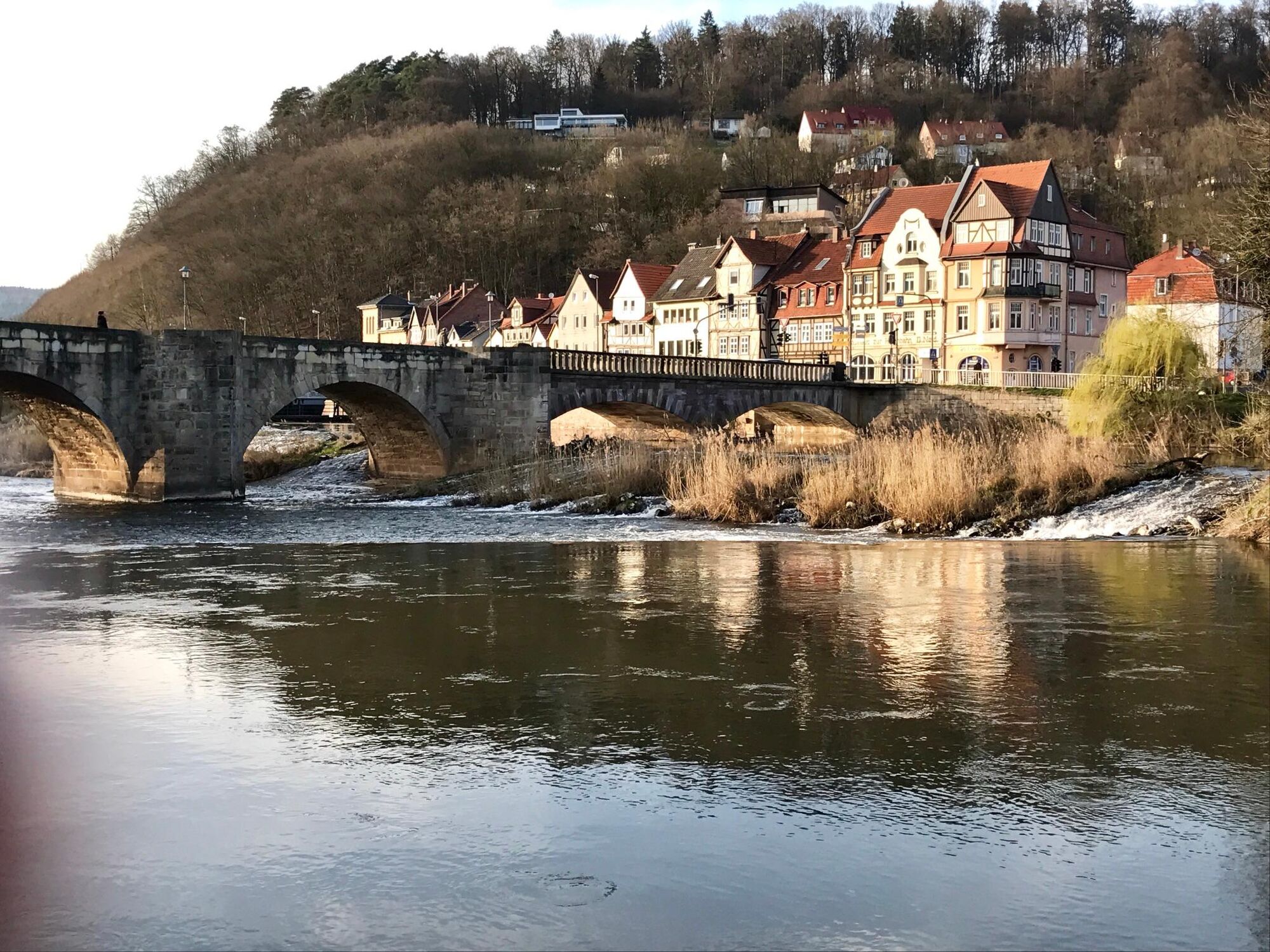
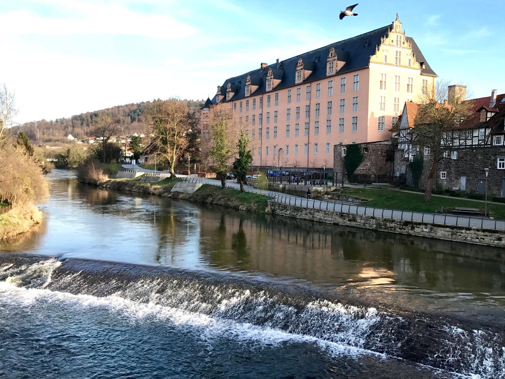
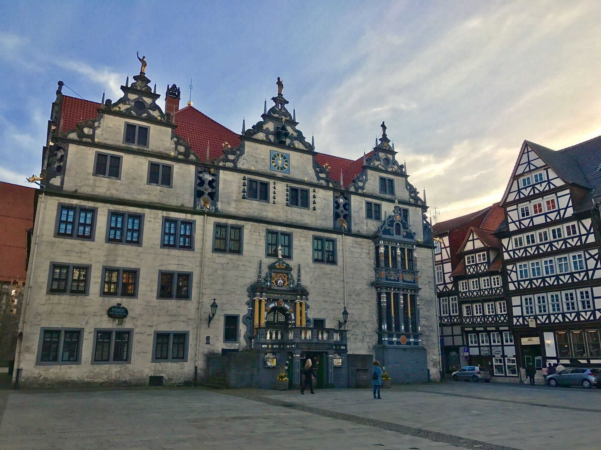

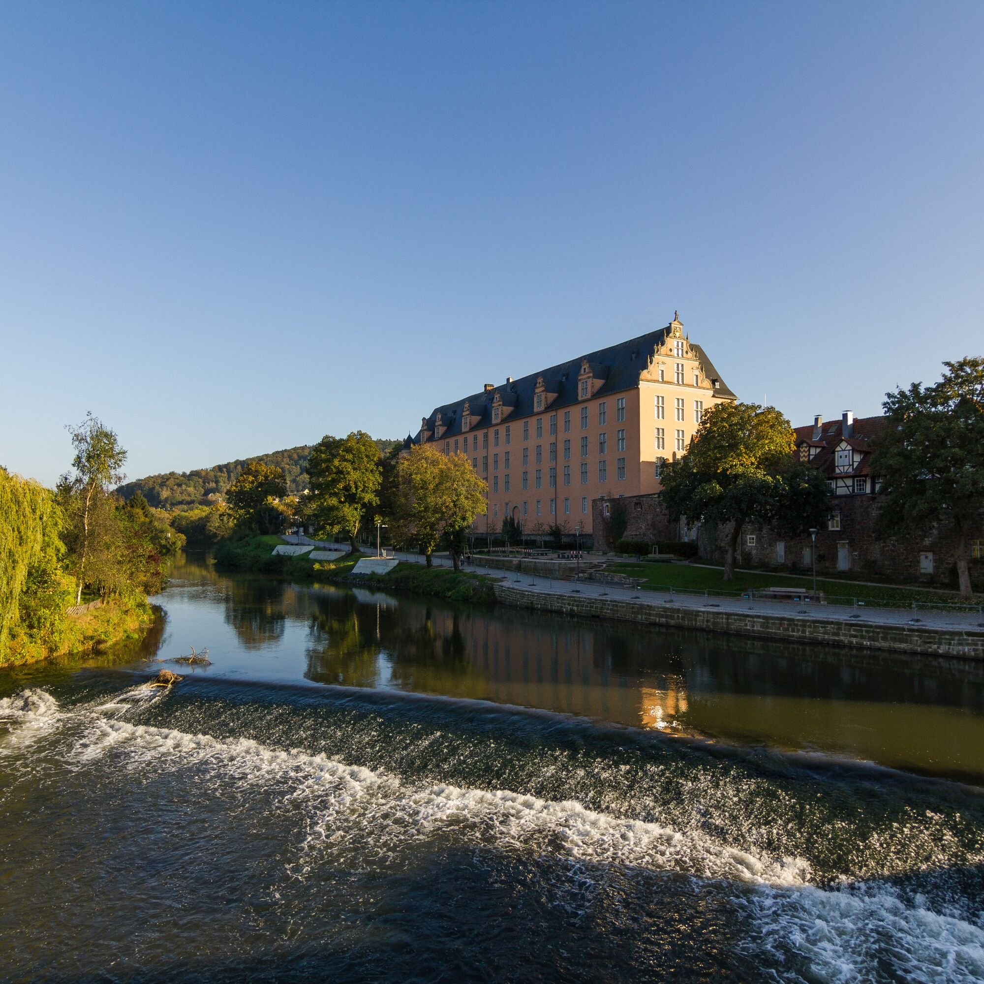

Passing the large parking lot and an intercultural garden, you leave Tanzwerder via a covered wooden bridge, at the end of which the Bremer and Kasseler Uferstraßen (quays) meet. "Schlagd" refers to the inner-city waterfront areas that were paved for loading barges and unloading cargo. You will frequently encounter Schlagden in the towns along the Werra. On the left in the Bremer Schlagd you will see the hotel Alter Packhof, to the right it is only about 200 m along the Kasseler Schlagd to the ferry gate tower.
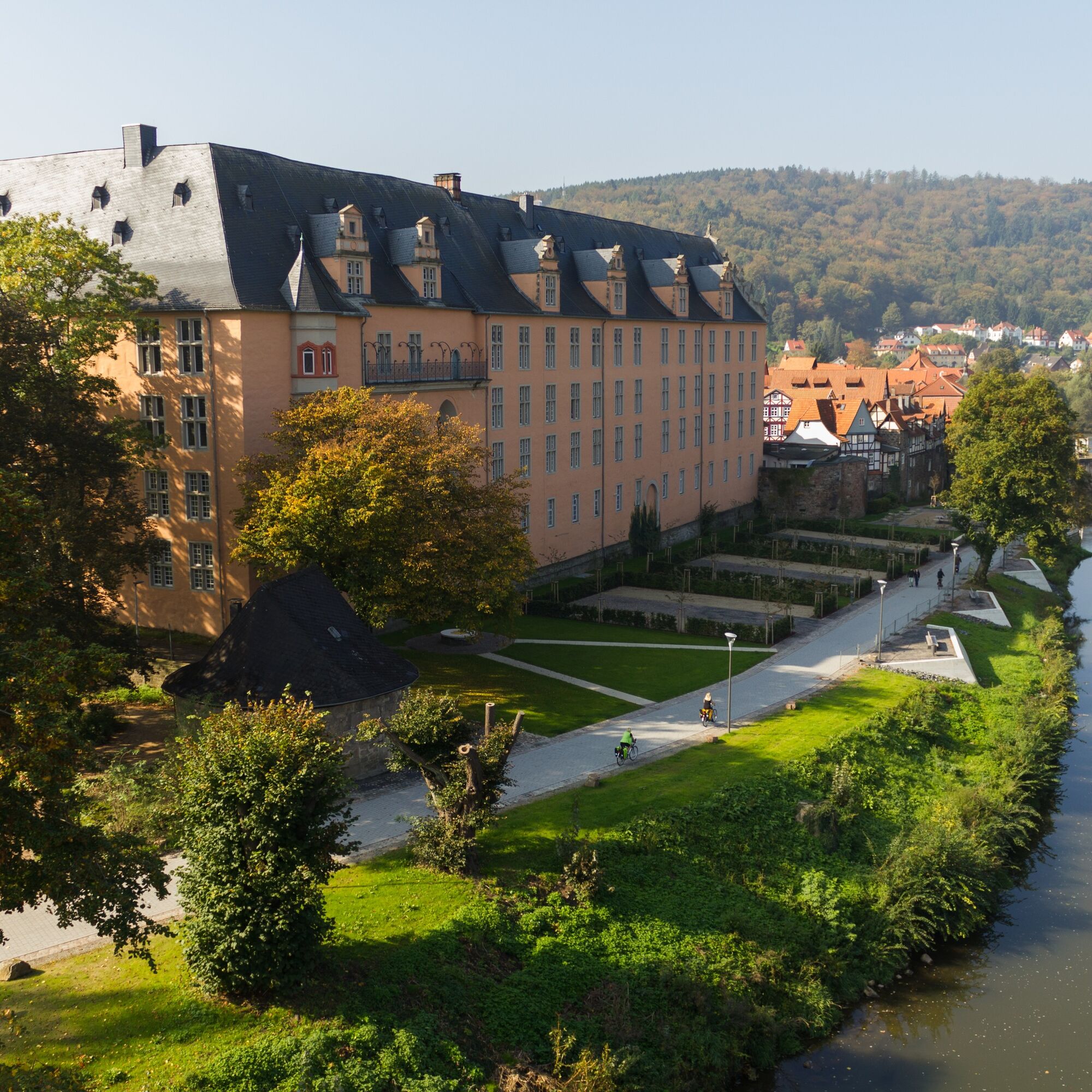
Straight ahead you follow Mühlenstraße to the marketplace just a few steps away. Here the Marktstraße connects, which quickly leads you to the nearby castle.
A small park adjoins the castle. First keep to its edge a few meters to the right and cross the park in front of the medieval tower to the left. Then continue straight along Böttcherstraße, passing the administration of the Münden Nature Park. The route leads left around the building into Mitscherlichstraße, where the botanical garden is on the right.
At the T-junction, turn right onto Werraweg and at its end cross the Werra bridge. In front of the Werra bridge, the street Vor der Bahn leads to the nearby train station.
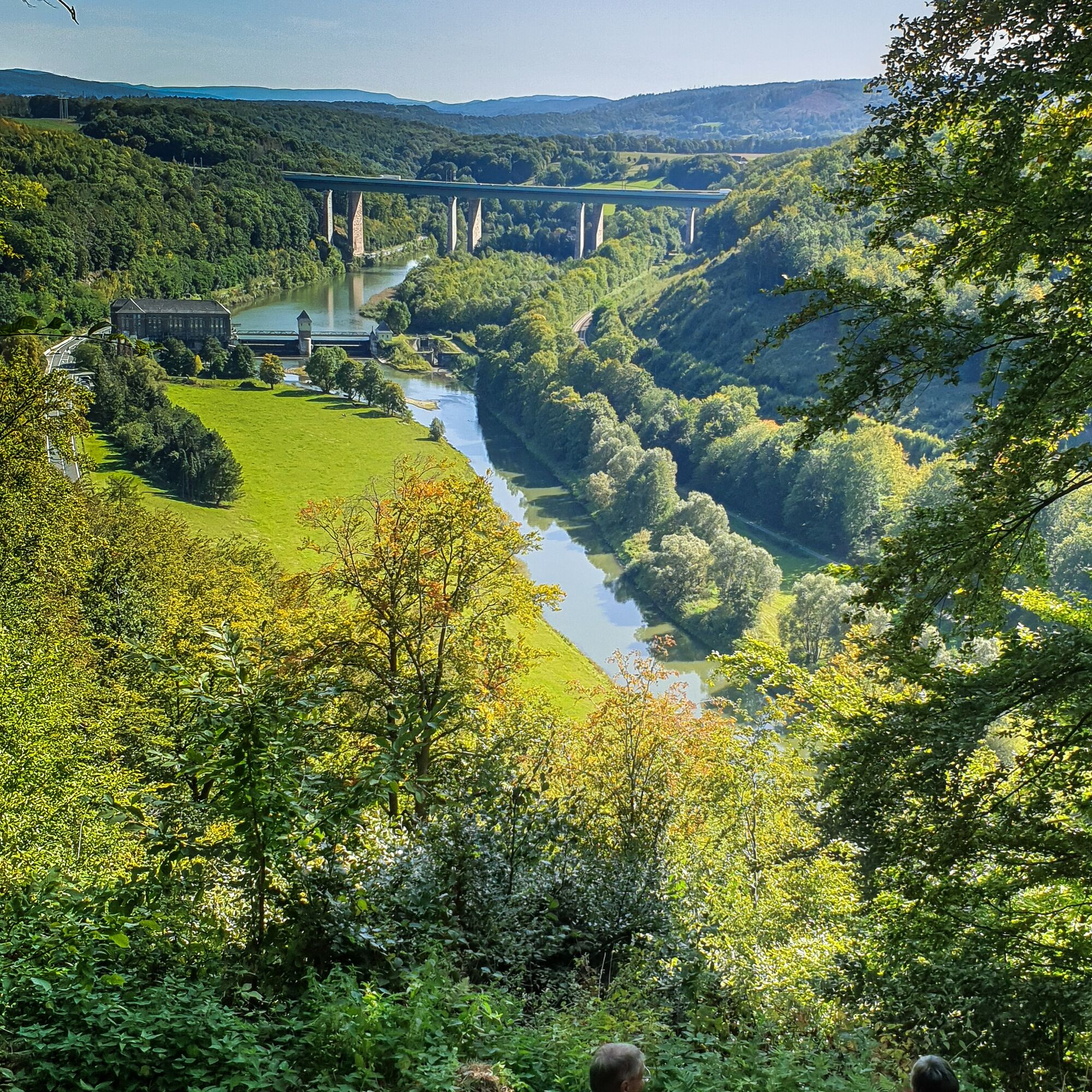
After crossing the river, keep to the right and follow Hedemündener Straße (B80) for about 650 m to the Bebelstraße junction. As soon as you turn into the street, you leave it again because a rising path now lets you leave the three-river town of Hann. Münden behind. First you walk about 500 m along a residential area, then turn right into the forest. You reach the beautiful Kramberg shelter, from which you get a first view into the valley with the Werra flowing far below and a hydropower plant. In the background, the bridge of the A7 autobahn spans the Werra valley. The path then leads downhill, makes a sharp right curve at a house, then you walk on a path past a house on the left. Immediately afterwards, you stand before the Ilksbach and district road K210. The Werra-Burgen-Steig Hessen continues left along the road, crossing the Ilksbach several times on wooden bridges. If you follow the district road a few meters to the right to B80, you reach the Werra and the Hotel Schlafschön with the inn Letzter Heller.
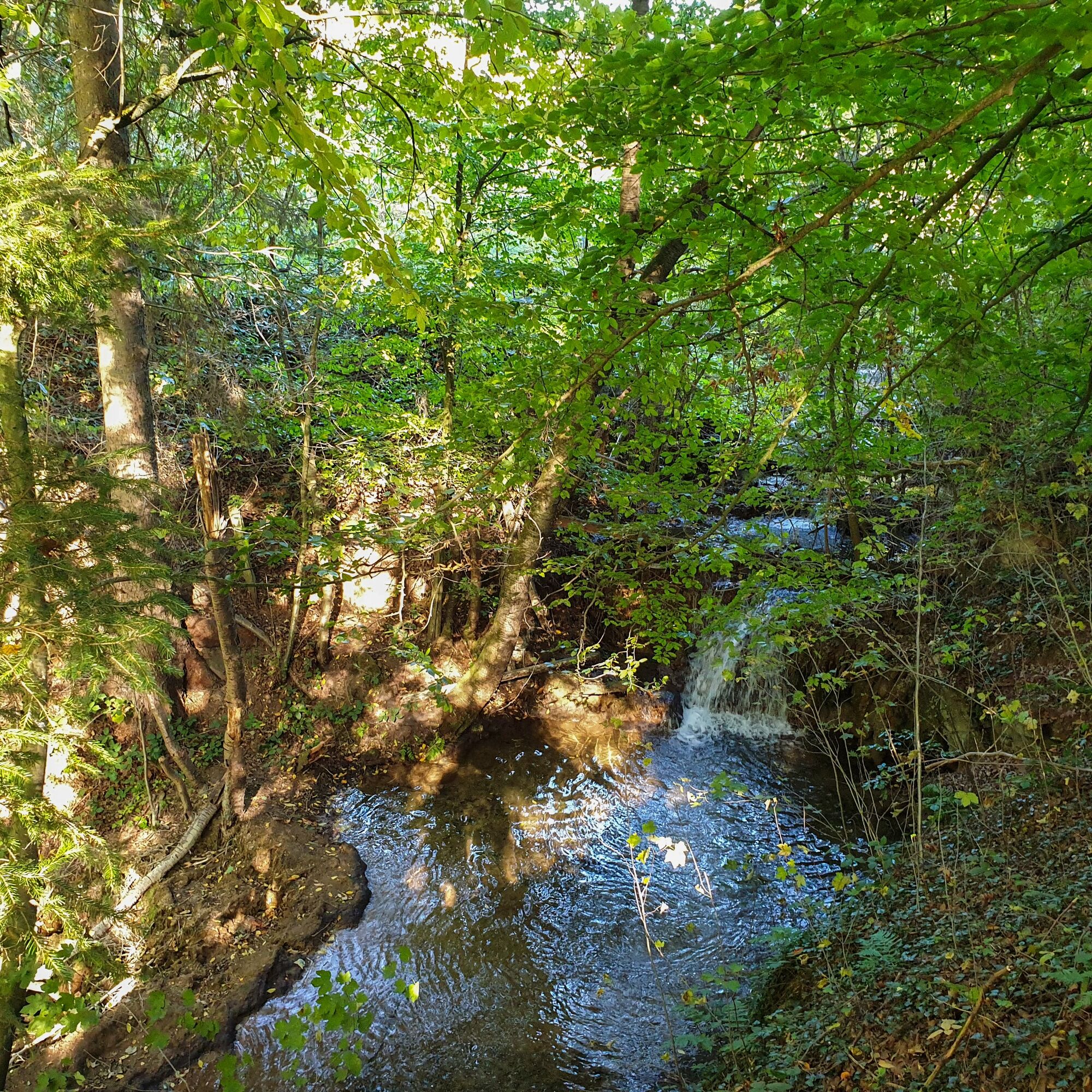
Just before the first houses belonging to Lippoldshausen, you cross the street and follow the slightly rising path into the forest. The path narrows into a trail as you continue. Shortly before the forest edge, descend briefly to the right, cross the stream on a wooden bridge and come to an asphalt farm road.
Turn left onto the asphalt road. Past meadows and fields, you reach a junction with a farm barn. The Werra-Burgen-Steig Hessen turns left here into the village of Lippoldshausen. Via Lippoldsburgweg you reach Ilksbachstraße (K210). On the left is the country inn Zum Krug, on the right the inn Zur Brücke.
Train station in Hann. Münden with good schedules.
There are many parking options around the city center.
Áno
Obľúbené výlety v okolí
-
4,0
Premium route P11 Niester Riesen
svetloTuristika 11,6 km -
5,0
Premium route P25 Kleinalmerode
strednáTuristika 13,4 km -
Premium route P9 Wacholderpfad Roßbach
strednáTuristika 11,1 km -
3rd section Werra-Burgen-Steig Hessen
Turistika 8,24 km -
From Göttingen to Hann. Münden and back
ťažkéCyklistika 65,6 km -
2nd section Werra-Burgen-Steig Hessen
Turistika 12,7 km -
From Göttingen to Hoher Hagen
ťažkéCyklistika 52,5 km -
X13-Studentenpfad Etappe 2 von Hann. Münden nach Sandershausen
Turistika 21,9 km -
Wandern auf uralten Pfaden – Die Bonaforther Runde
strednáTuristika 7,74 km -
Forstmeisterrunde
svetloTuristika 6,72 km
Turistika a stopovanie


Nenechajte si ujsť ponuky a inšpiráciu na ďalšiu dovolenku
Vaša e-mailová adresa bol pridaný do poštového zoznamu.





