


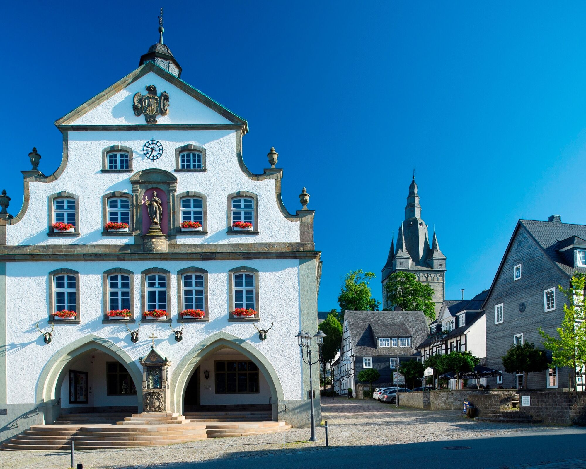
Rothaarsteig - stage from Brilon to Bruchhausen
From the historic Brilon marketplace, the official starting point of the route, always follow the lying “R” on a red background. Access points are located at Olsberg Tourism, in the center of Elleringhausen,...
From the historic Brilon marketplace, the official starting point of the route, always follow the lying “R” on a red background. Access points are located at Olsberg Tourism, in the center of Elleringhausen, and in Brilon-Wald.
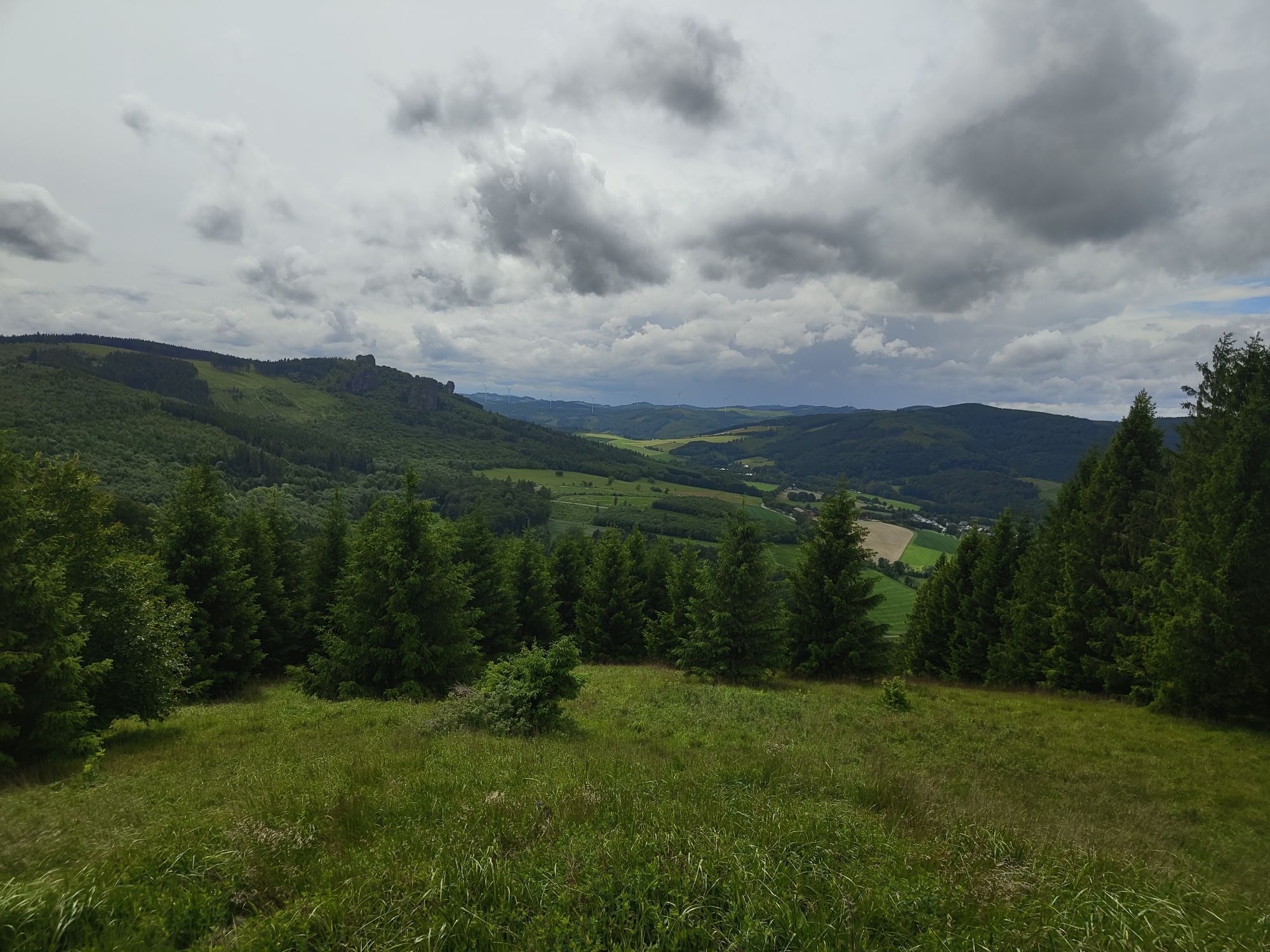
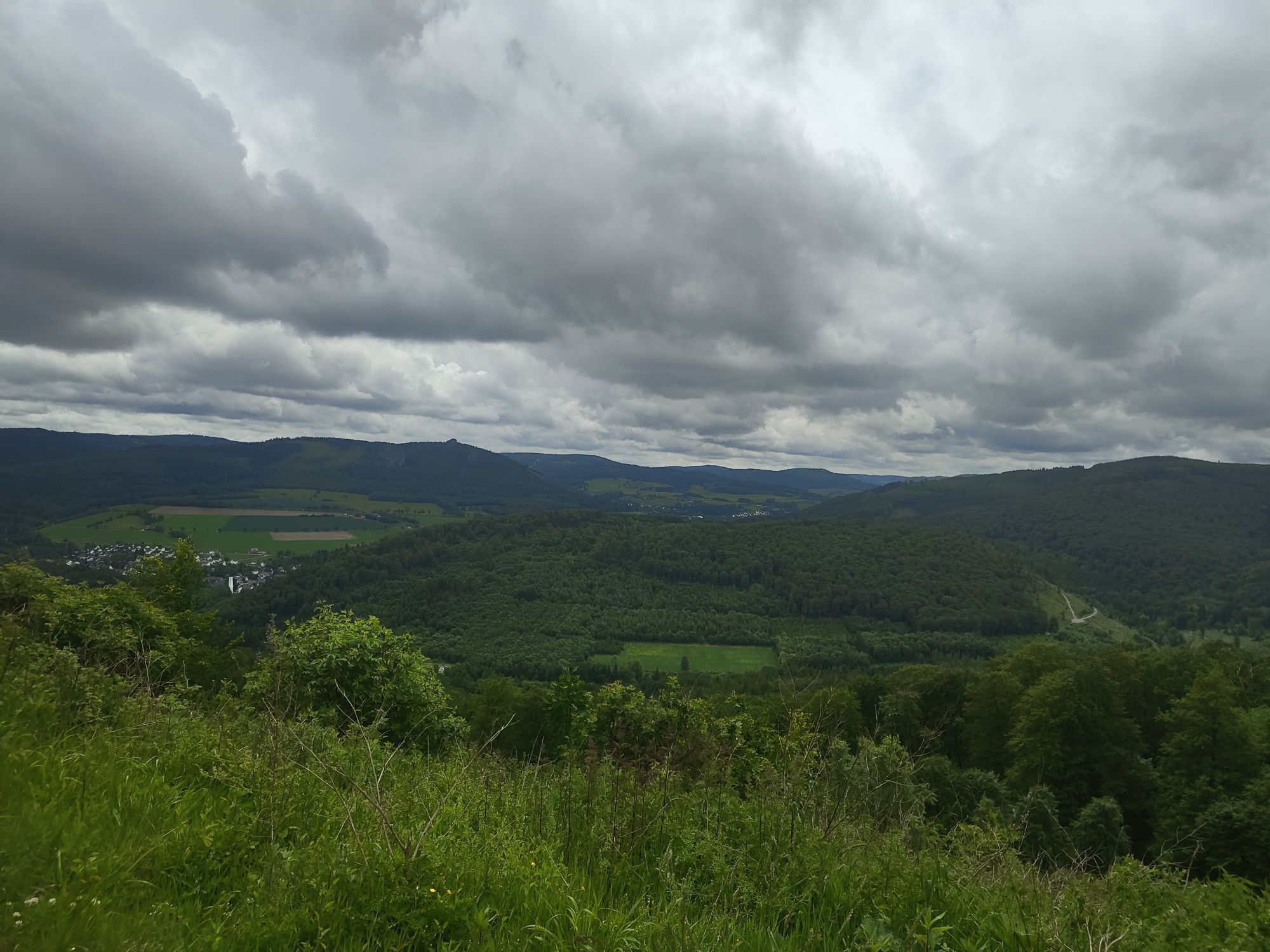
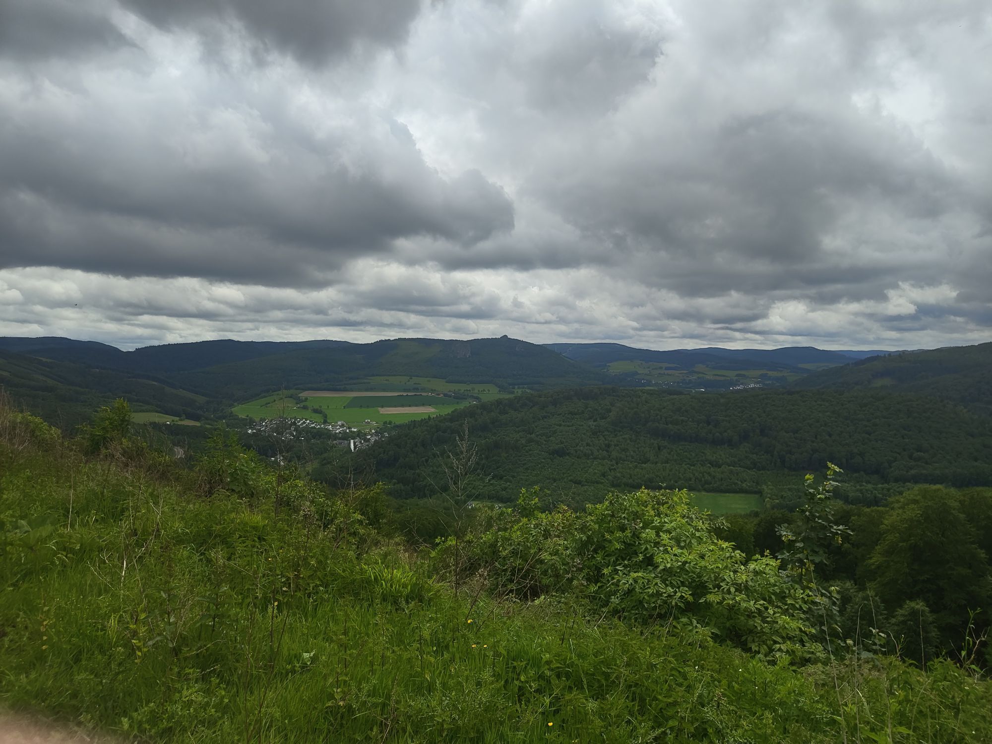
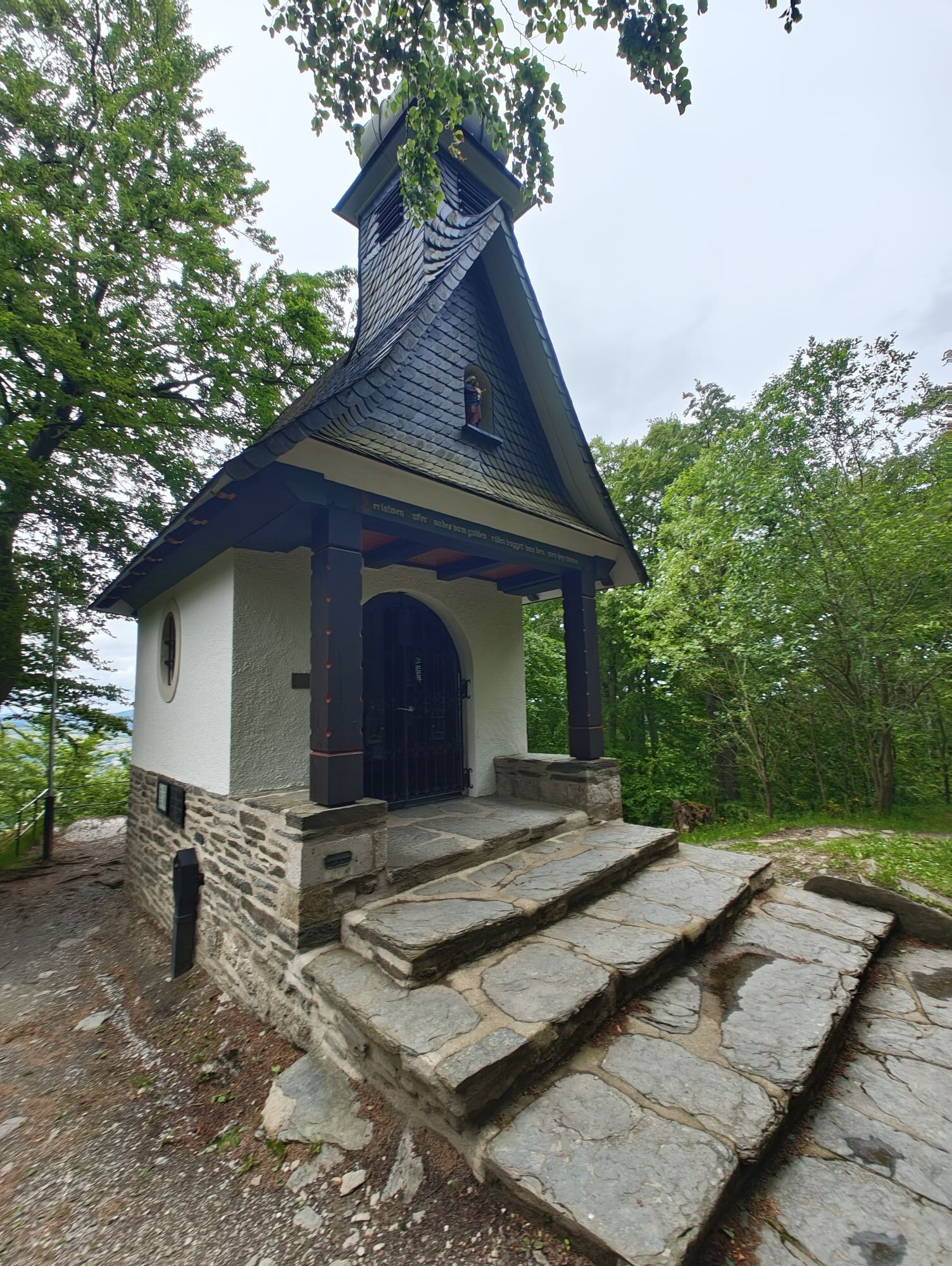
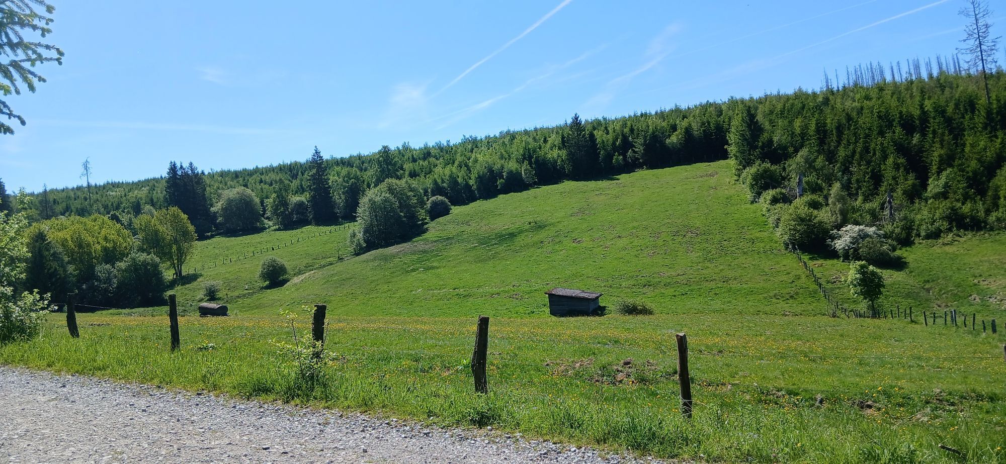
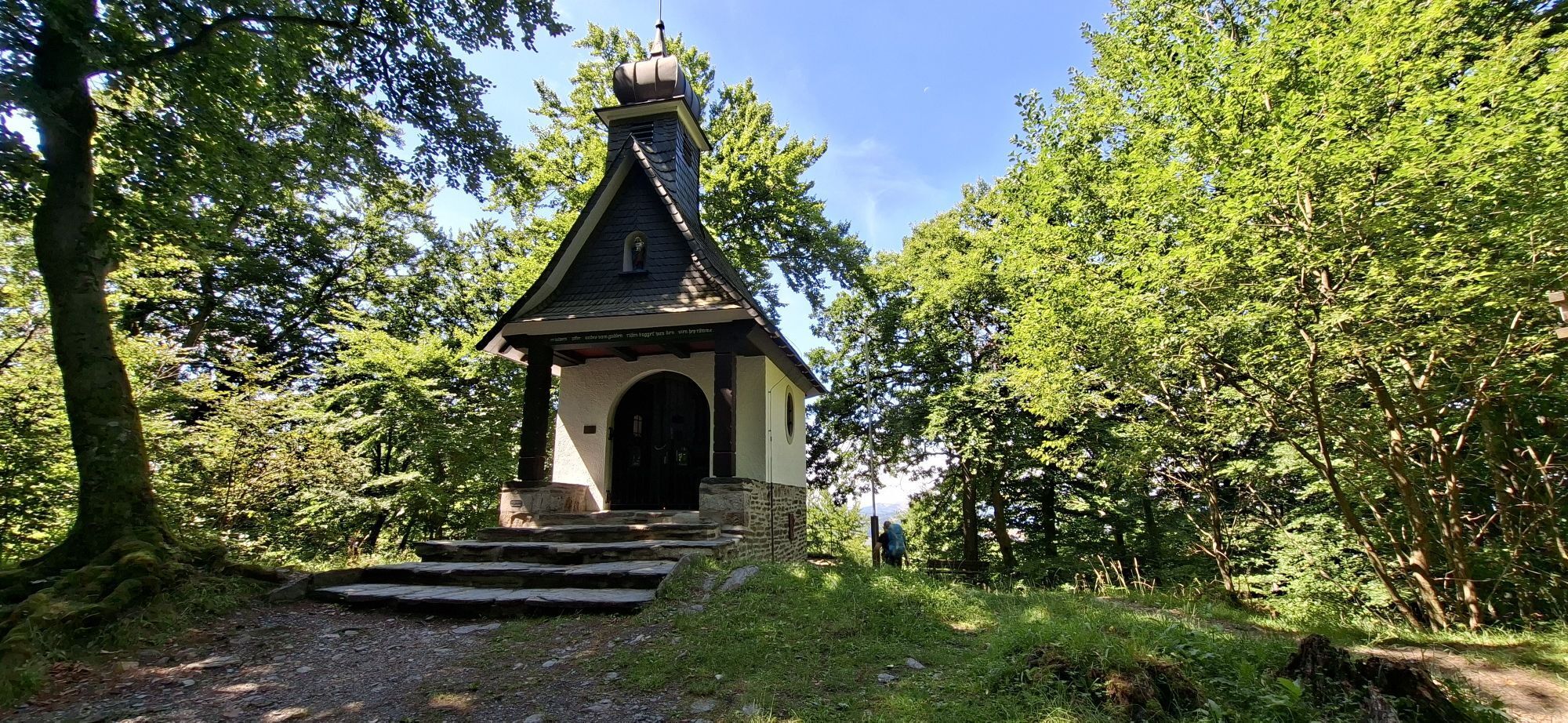
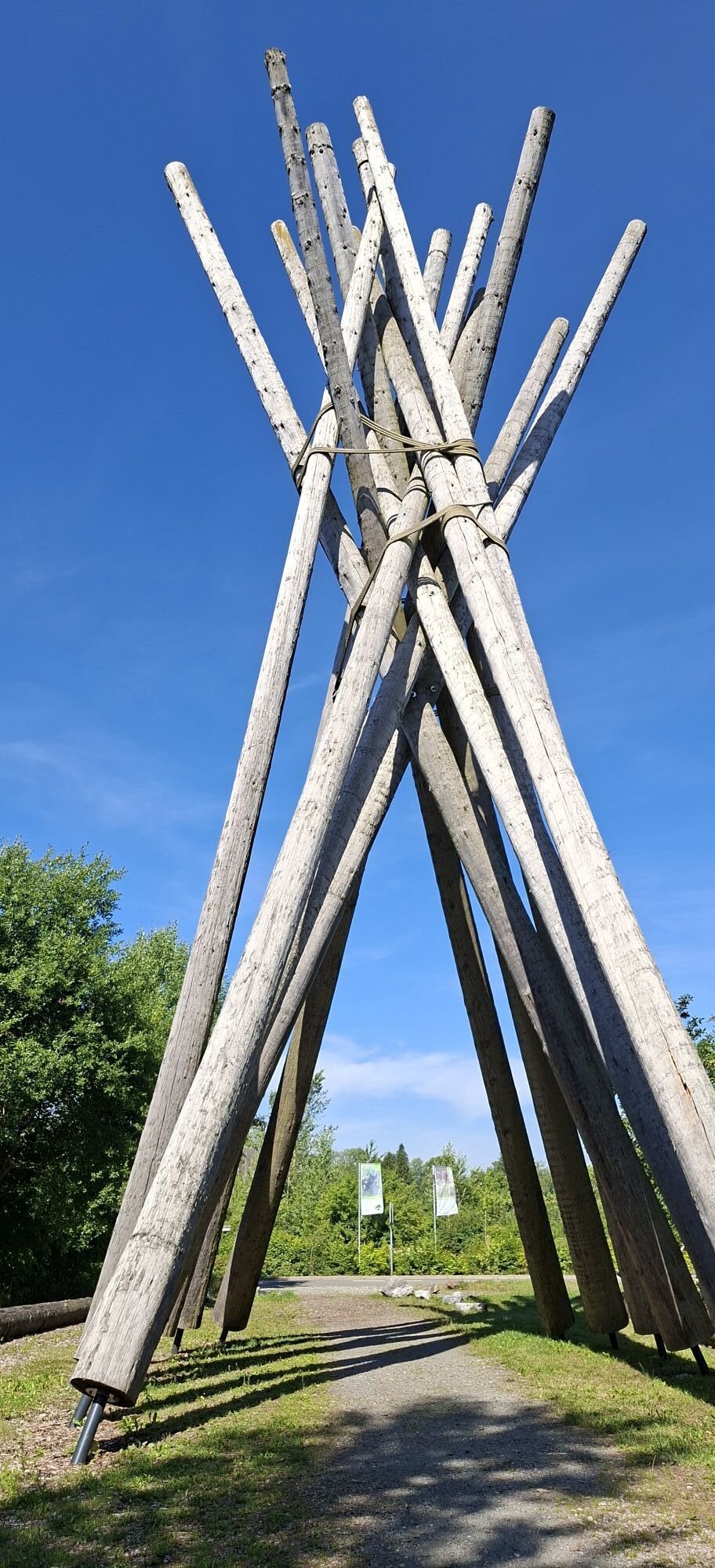
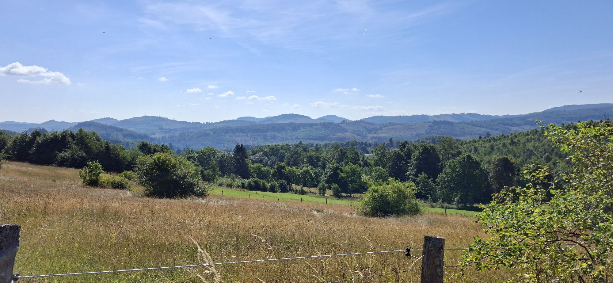
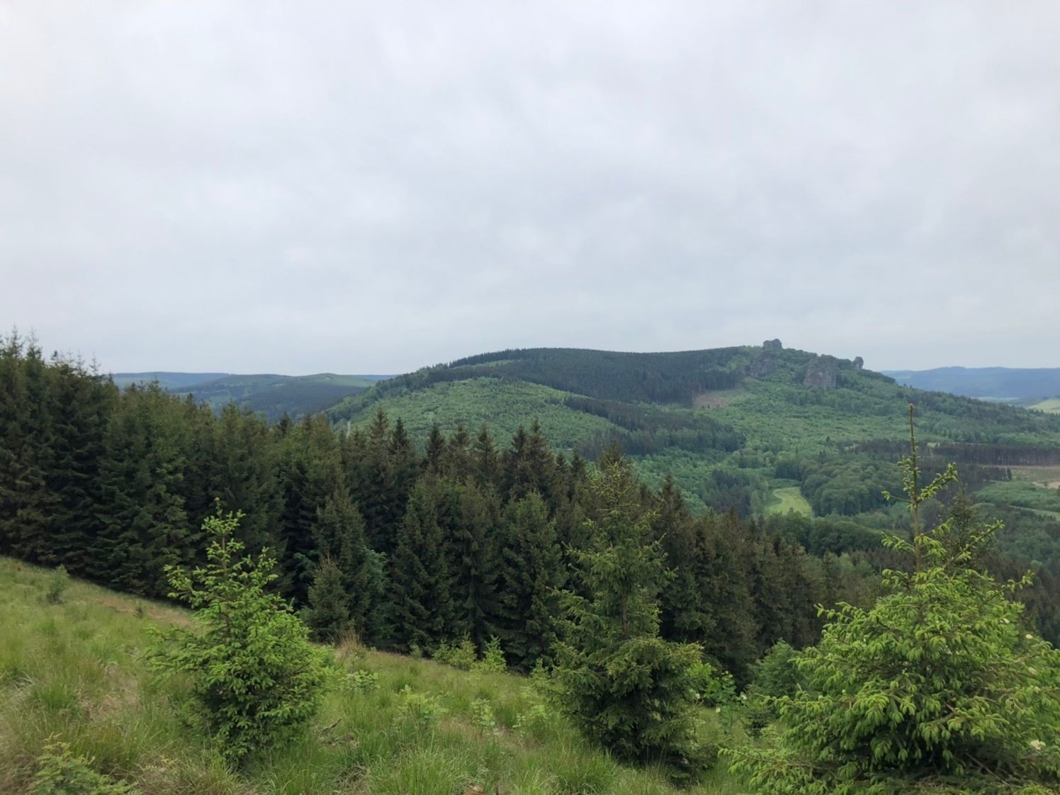
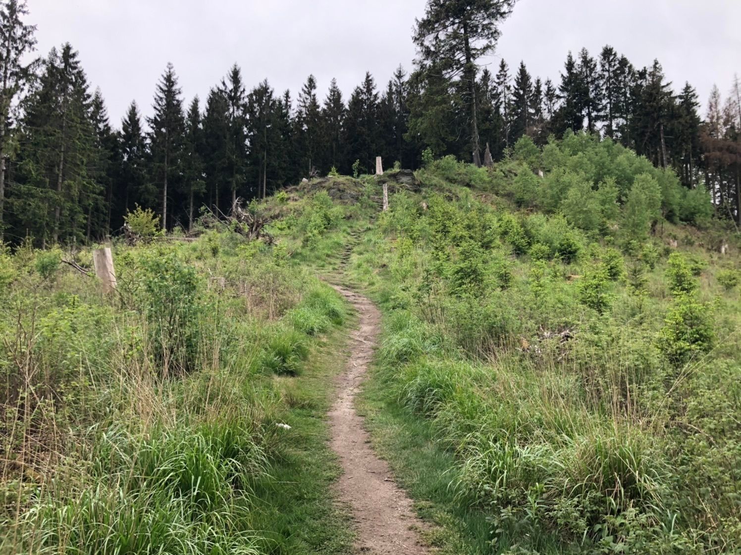
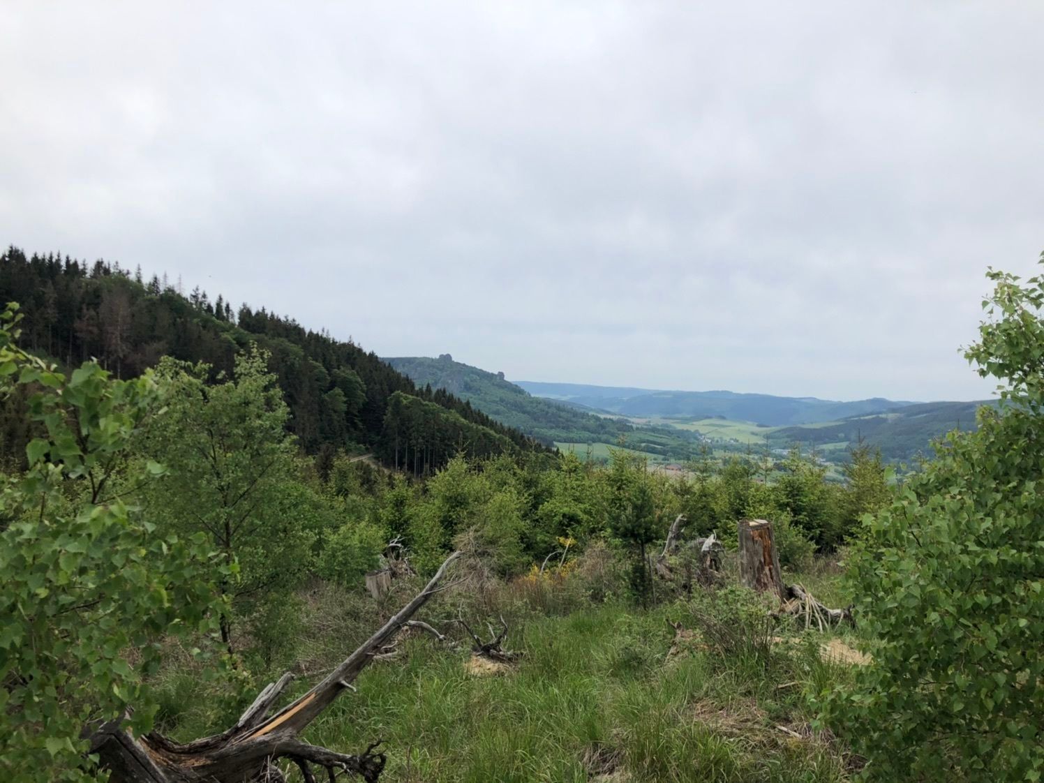
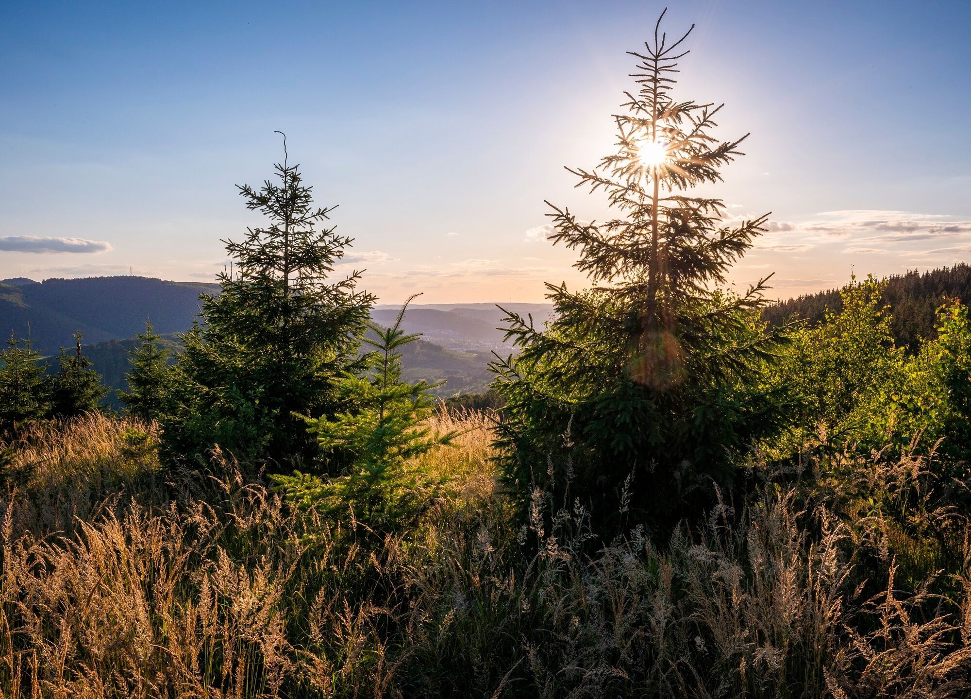
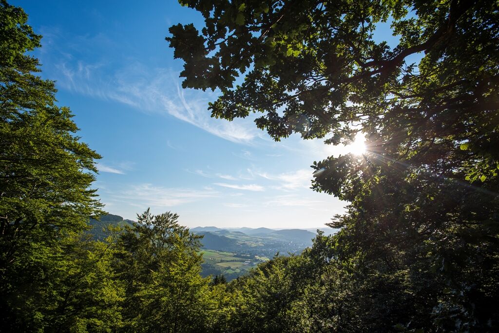
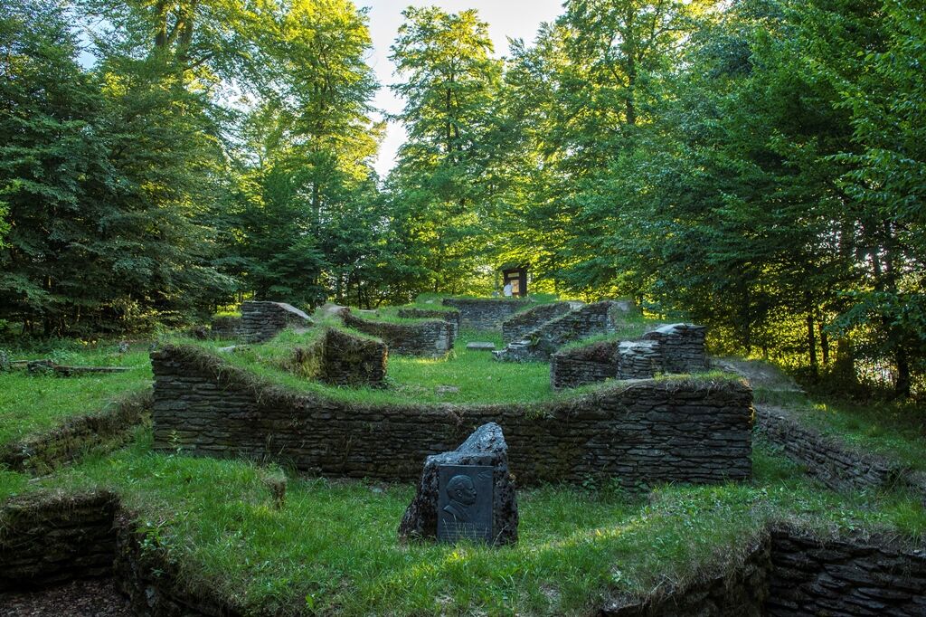
You explore the mysterious ruins of Borbergs Kirchhof. The themed path “Meiler, Wälle, Wüstungen” leads to cultural-historical sites. Already from afar, the eleven-meter-high Fire Oak shines colorfully in the sun, wrapped by a bronze band as a symbolic flame. At Ginsterkopf, a 360-degree panorama enchants. The view stretches endlessly over mountains and valleys. Whether early morning or late afternoon, spring or autumn – the Rothaarsteig has its own unique charm at every time of day and year.
From the historic Brilon marketplace, the official starting point of the route, always follow the lying “R” on a red background. Access points are located at Olsberg Tourism, in the center of Elleringhausen, and in Brilon-Wald.

Webové kamery z prehliadky


Obľúbené výlety v okolí
-
4,7
Bruchhauser Steine B1
strednáTuristika 11,8 km -
5,0
Circular route Skywalk/Hill - Ettelsberg
svetloTuristika 4,10 km -
4,5
Bruchhausener Steine
ťažkéTuristika 5,15 km -
4,8
Rundwanderung Diemelsee
svetloTuristika 8,54 km -
5,0
Rothaarsteig-Spur - Grönebacher Dorfpfad
strednáTuristika 10,6 km -
4,0
Willingen (W8)
strednáTuristika 12,9 km -
5,0
Willingen (W6)
strednáTuristika 12,9 km -
5,0
Strycktal circular route (Willingen)
strednáTuristika 3,99 km -
5,0
Uplandsteig - THE Original -
ťažkédiaľková pešia trasa 66,1 km -
5,0
Wandertipp: Rundweg Ettelsberg-Mühlenkopfschanze
svetloTuristika 7 km

Turistika a stopovanie


Nenechajte si ujsť ponuky a inšpiráciu na ďalšiu dovolenku
Vaša e-mailová adresa bol pridaný do poštového zoznamu.