Navigácia na stránke
Získajte túto prehliadku v mobilnom telefóne
Mapa
Boucle VTT Rouffignac-l'Herm (N°7)
ťažké
Mountainbike
30,22 km
Naskenujte kód QR a spustite navigáciu v aplikácii bergfex
QR Code
Turistika a stopovanie

Boucle VTT Rouffignac-l'Herm (N°7)

Vzdialenosť
30,22 km
Trvanie
03:12 h
Ascent
572 hm
Hladina mora
96 - 291 m
Stiahnutie skladby
Mapa
Boucle VTT Rouffignac-l'Herm (N°7)
ťažké
Mountainbike
30,22 km

This difficult loop (red) proposes to discover mainly Rouffignac St-Cernin, village of the Valley of Vézère in the heart of Black Périgord in Dordogne, the cave with the hundred mammoths, the crossing...

Opis
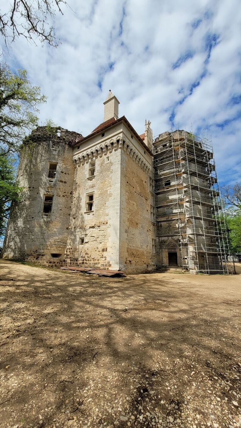
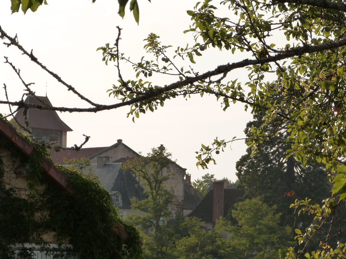
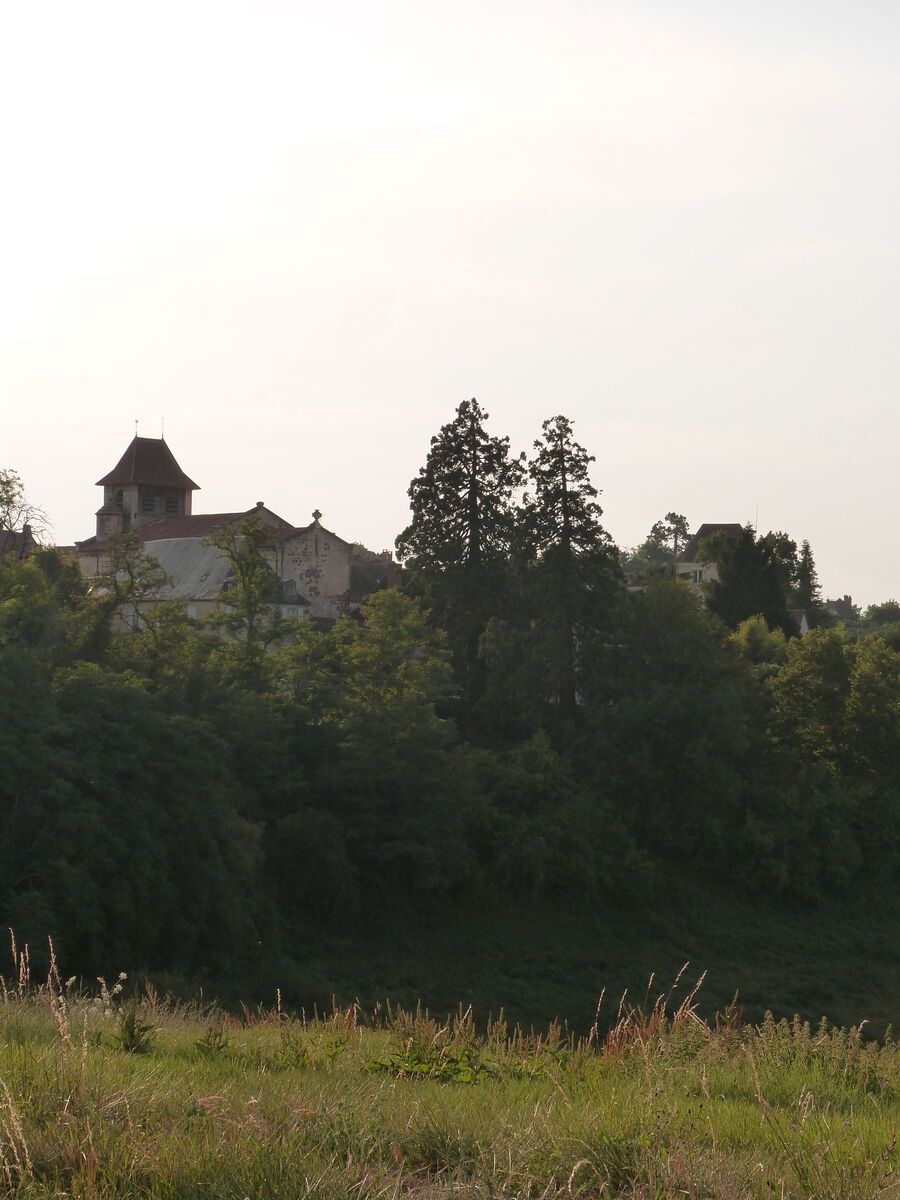
This difficult loop (red) proposes to discover mainly Rouffignac St-Cernin, village of the Valley of Vézère in the heart of Black Périgord in Dordogne, the cave with the hundred mammoths, the crossing of the hamlet of the castle of Herm, the village of Plazac and its superb point of view of the coast of Jor classified natura 2000.
Departure from the sports hall (ESES) of the sports complex At the starting point: bike washing point, bike rental and repair, sanitary facilities, overnight accommodation, restaurant.

Trasa
Rouffignac
(283 m)
Dedina
0,3 km
Monplaisir
(238 m)
Zúčtovanie
3,8 km
Le Rond
(112 m)
Zúčtovanie
16,2 km
Plazac
(117 m)
Dedina
18,7 km
Le Rond
(112 m)
Zúčtovanie
21,3 km
La Feuillade
(285 m)
Zúčtovanie
26,7 km
Église Saint-Germain-de-Rouffignac
(279 m)
Miesto uctievania
29,2 km
Trasa
Mapa
Boucle VTT Rouffignac-l'Herm (N°7)
ťažké
Mountainbike
30,22 km
Rouffignac
(283 m)
Dedina
0,3 km
Cachemiche
(286 m)
Zúčtovanie
2,1 km
Chagrin
(287 m)
Zúčtovanie
2,2 km
Les Salles
(284 m)
Zúčtovanie
2,6 km
La Bournèche
(277 m)
Zúčtovanie
3,0 km
La Font du Roc
(260 m)
Zúčtovanie
3,7 km
Monplaisir
(238 m)
Zúčtovanie
3,8 km
Le Château
(215 m)
Zúčtovanie
5,0 km
L'Herm
(241 m)
Zúčtovanie
6,4 km
Prouilhac
(137 m)
Zúčtovanie
12,7 km
Le Rouquet
(132 m)
Zúčtovanie
13,3 km
Prouillac
(213 m)
Zúčtovanie
14,2 km
Le Rond
(112 m)
Zúčtovanie
16,2 km
Côtes du Rond
(145 m)
Zúčtovanie
16,4 km
La forge haute
(219 m)
Zúčtovanie
16,9 km
La Fonpeyre
(227 m)
Zúčtovanie
17,2 km
Le Clou
(216 m)
Zúčtovanie
17,7 km
Le Trimoul
(202 m)
Zúčtovanie
17,9 km
Plazac
(117 m)
Dedina
18,7 km
Cordestieux
(96 m)
Zúčtovanie
19,2 km
La Moulette
(114 m)
Zúčtovanie
19,8 km
La Grange
(110 m)
Zúčtovanie
20,8 km
Côtes du Rond
(145 m)
Zúčtovanie
21,2 km
Le Rond
(112 m)
Zúčtovanie
21,3 km
Le Turc
(148 m)
Zúčtovanie
22,6 km
La Pinolie
(181 m)
Zúčtovanie
22,9 km
Les Mazeaux
(273 m)
Zúčtovanie
24,1 km
Veyssou
(251 m)
Zúčtovanie
24,9 km
La Feuillade
(285 m)
Zúčtovanie
26,7 km
Le Sud
(284 m)
Zúčtovanie
26,8 km
Boujou
(279 m)
Zúčtovanie
27,6 km
Le Puits Fleuri
(276 m)
Reštaurácia
27,8 km
La Menique
(282 m)
Zúčtovanie
28,2 km
Graulet
(266 m)
Zúčtovanie
28,5 km
La renaissance
(278 m)
Reštaurácia
29,2 km
Église Saint-Germain-de-Rouffignac
(279 m)
Miesto uctievania
29,2 km
Au peti Rouff
(284 m)
Reštaurácia
29,4 km
Rouffignac
(283 m)
Dedina
29,4 km
Informácie o prehliadke

Un percorso ad anello per scoprire i dintorni di Rouffignac Saint-Cernin de Reilhac.

Technológia
n.a.
Stav
5 / 6
Krajina
4 / 6
Skúsenosti
4 / 6
Autor
Poskytuje Intense Périgord Noir
Logo
Zdieľať prehliadku
Mapa
Boucle VTT Rouffignac-l'Herm (N°7)
ťažké
Mountainbike
30,22 km
Chyba
Vyskytla sa chyba. Prosím, skúste to znova.
Informácie o trase
Trasa

Seguire la segnaletica arancione del triangolo per mountain bike con l'adesivo rosso n° 7

Vhodné pre invalidné vozíky

Áno

Zariadenie
To be seen by motorists on country road sections.

Something to hydrate

Bezpečnostné pokyny

In case of emergency, contact 112 or 15 / For deaf, hard of hearing or aphasic persons: contact 114

Informácie o príchode
Príchod

From Périgueux:  direction Thenon / Brive, then at Thenon, take the D67 towards Rouffignac-Saint-Cernin.

From Sarlat: via the D47 through Les Eyzies then the D31 towards Fleurac/Rouffignac

Parkovanie

Parking available at the Rouffignac multisport complex

Ďalšie informácie a tipy
Ďalšie informácie

OT Lascaux Dordogne Vallée Vézère
www.lascaux-dordogne.com

Tipy

Yellow

Turistika a stopovanie

Turistika a stopovanie

Turistika a stopovanie
Viac ako 550.000 návrhov výletov, podrobné mapy a intuitívny plánovač trás robia z aplikácie povinnú výbavu pre všetkých nadšencov prírody.
bergfex