







Danube Cycle Path Stage 2 North Bank: Schlögen - Linz

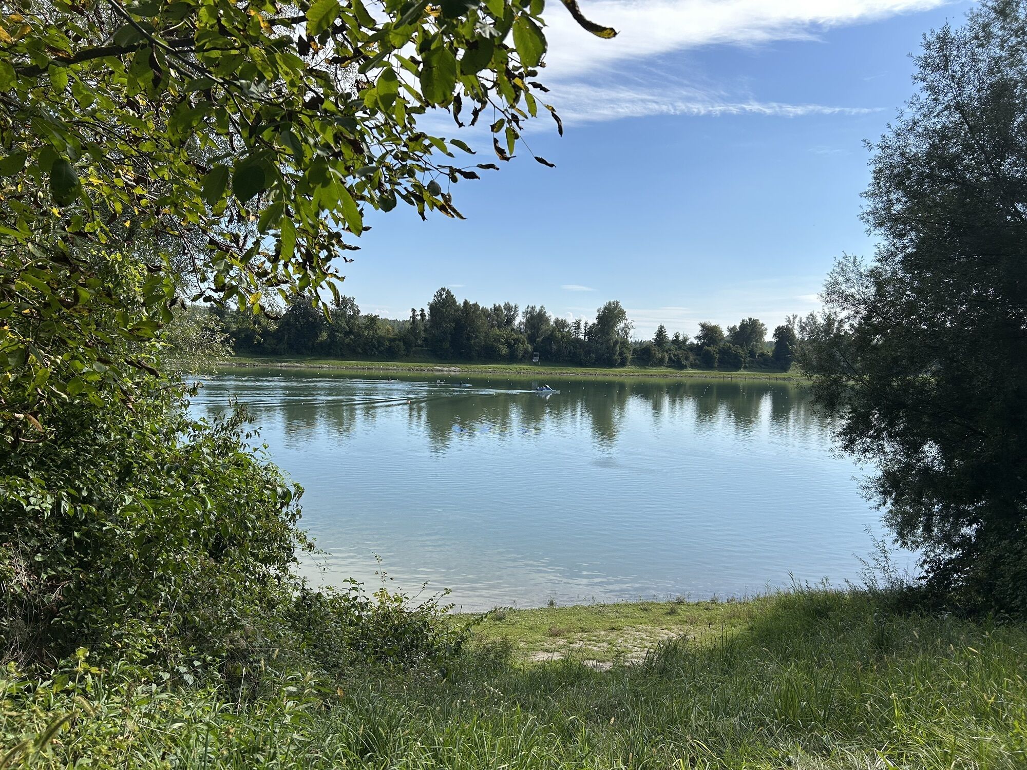
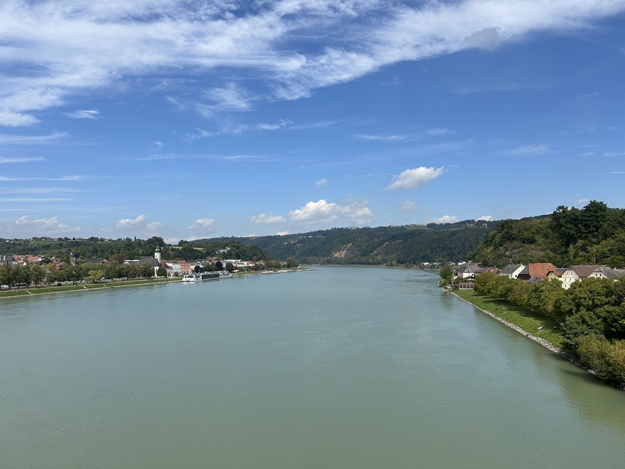
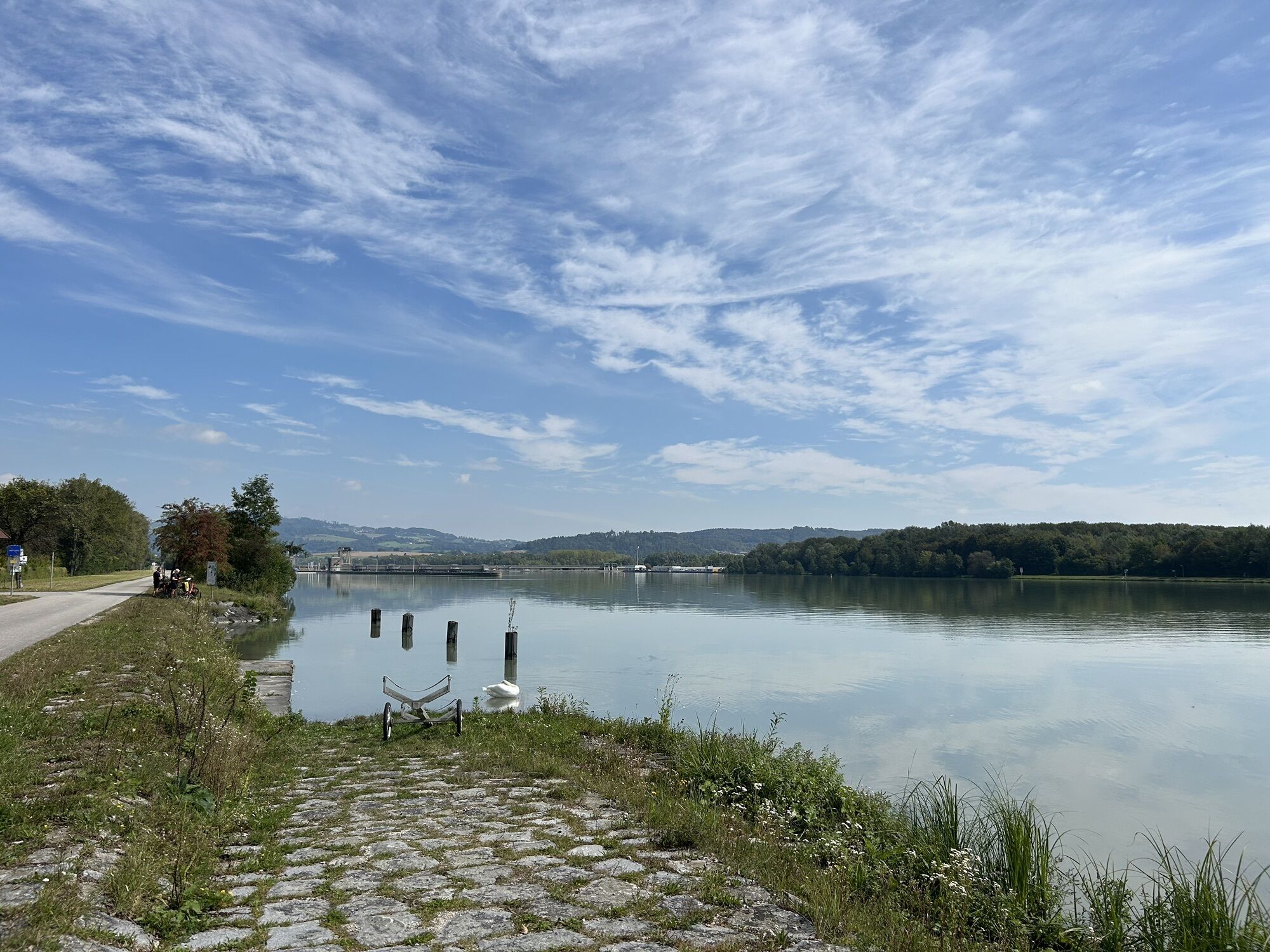
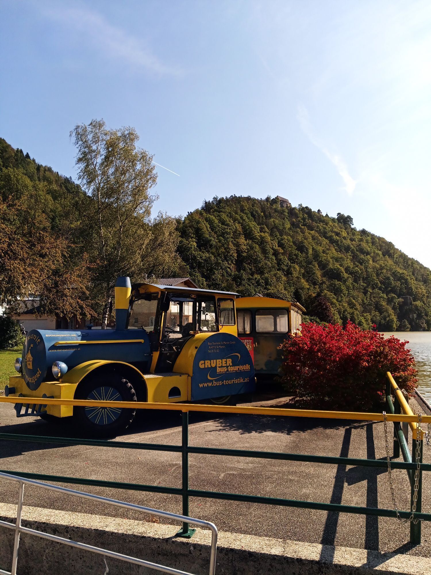
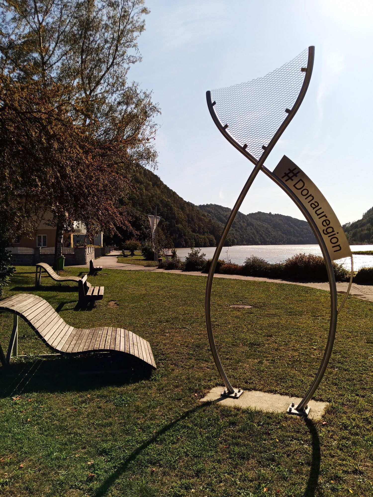

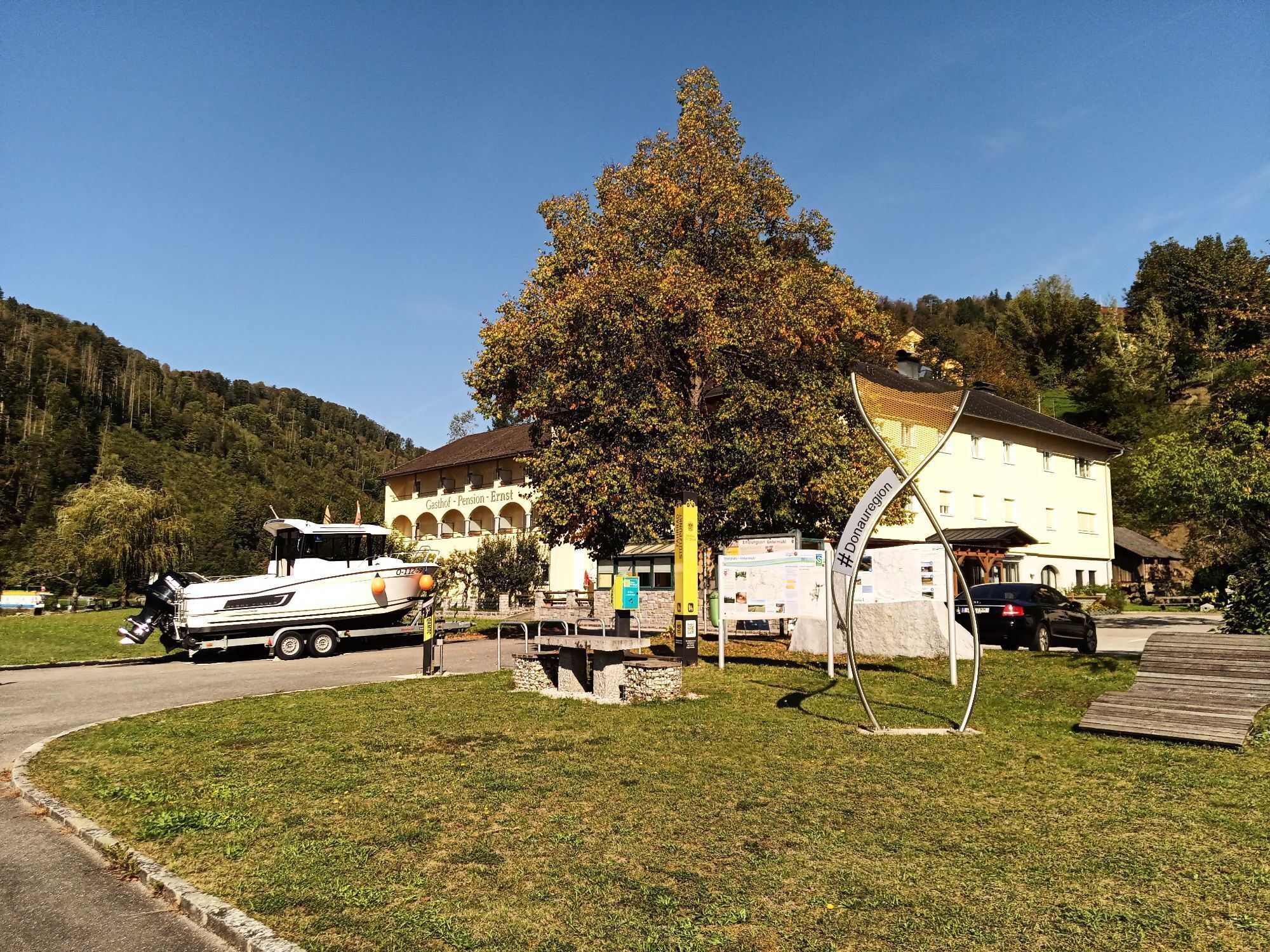
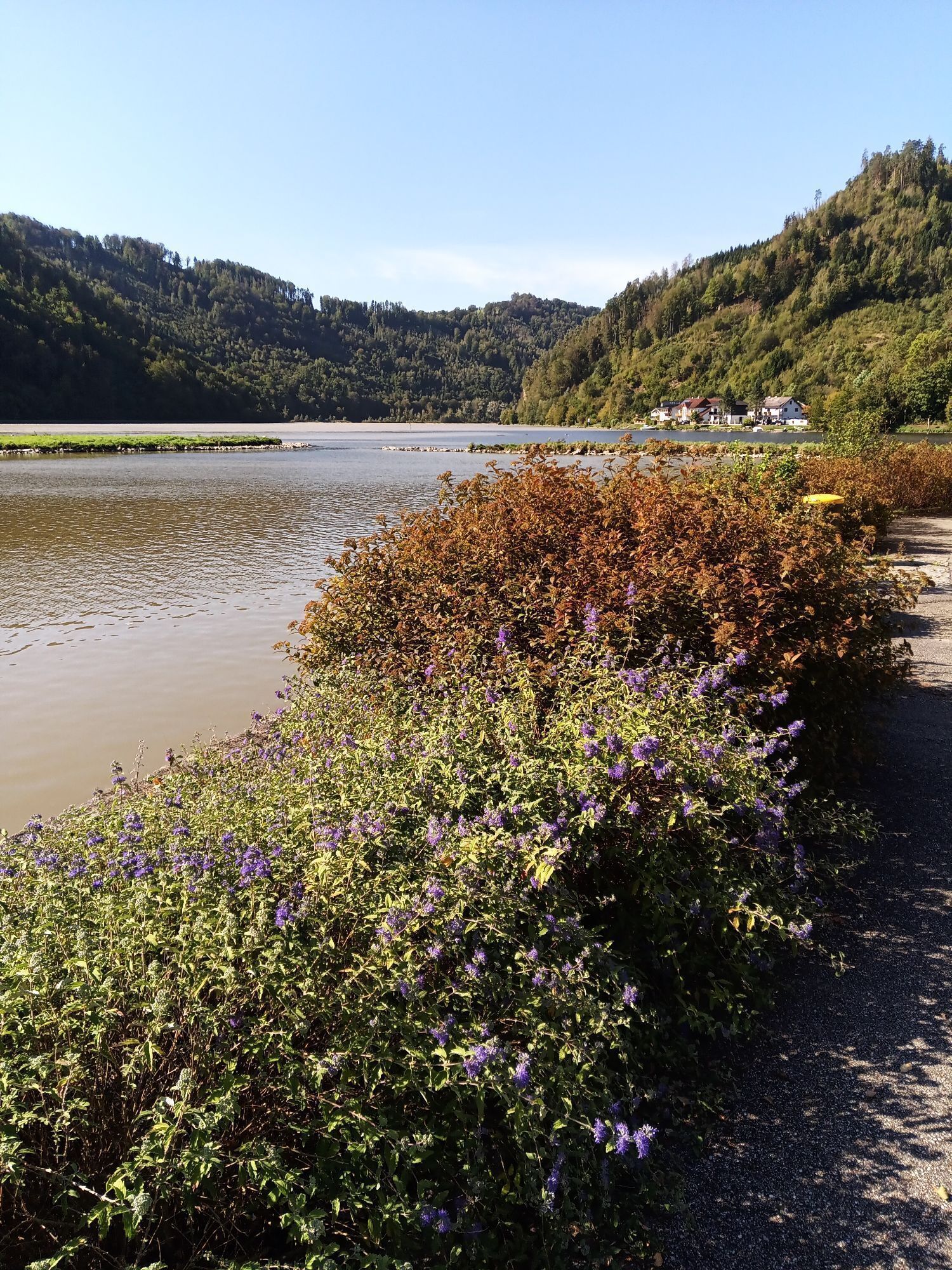
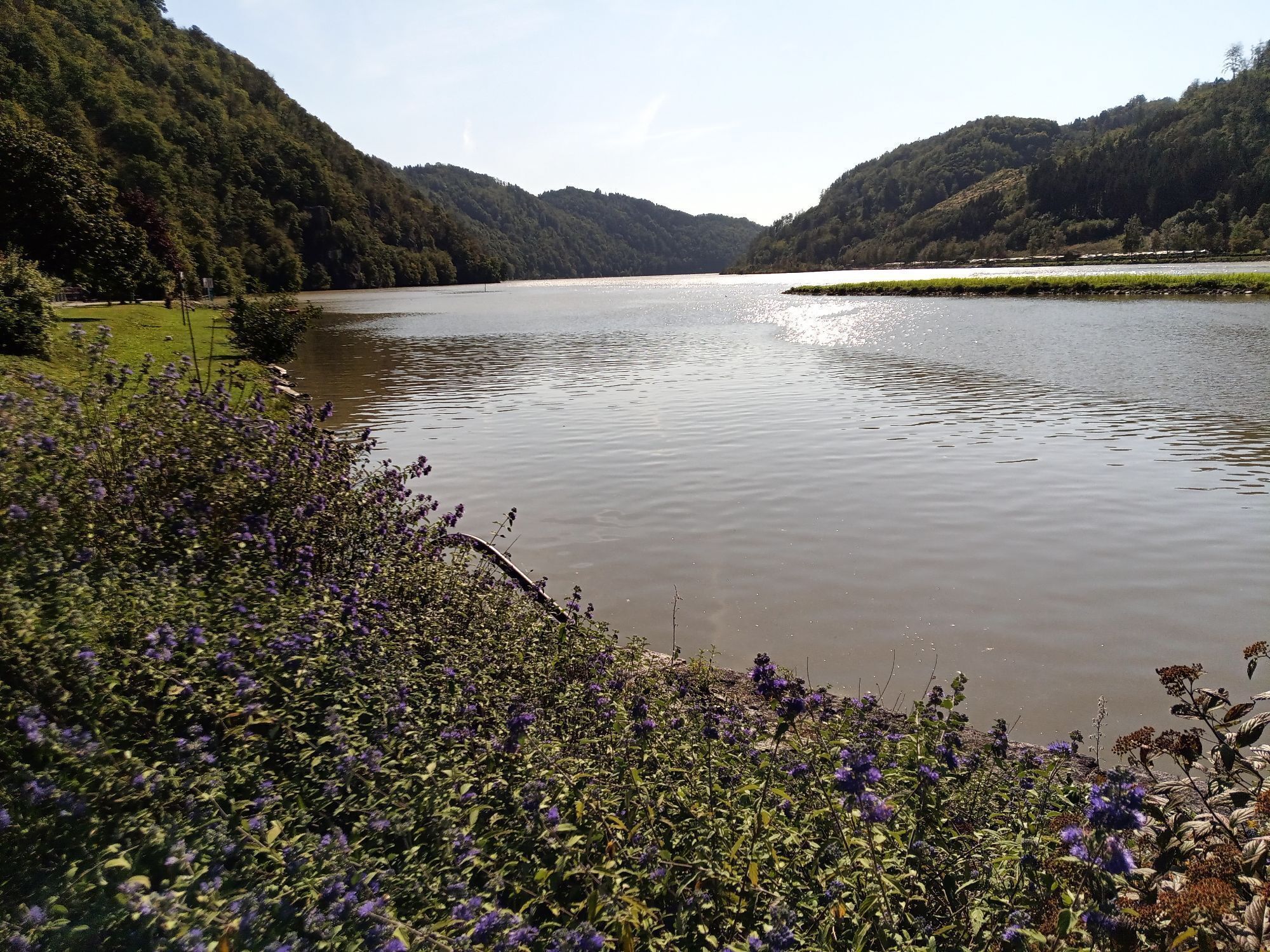
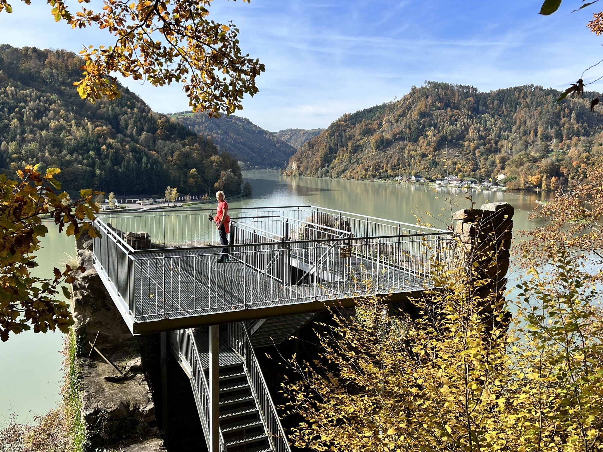
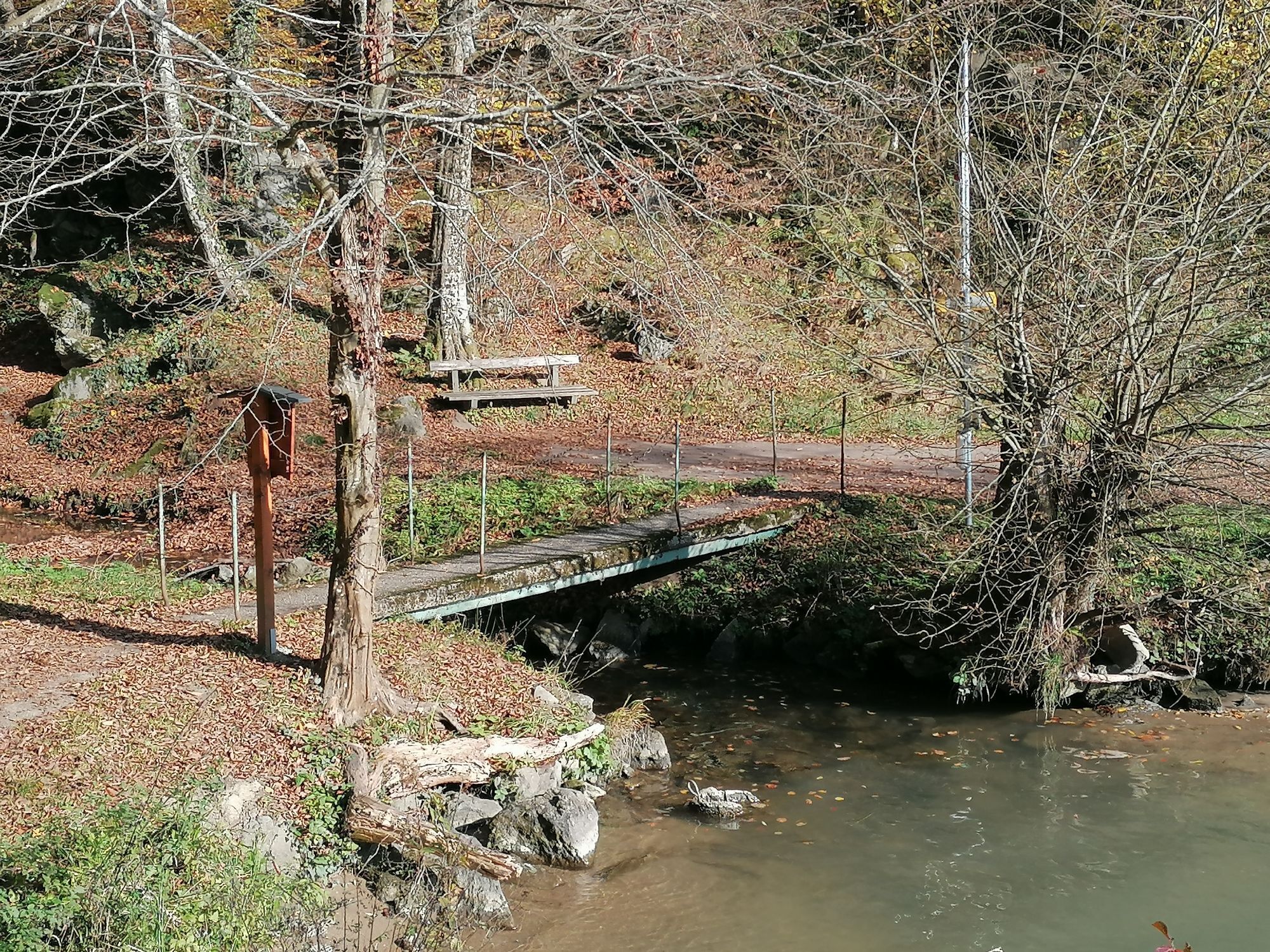
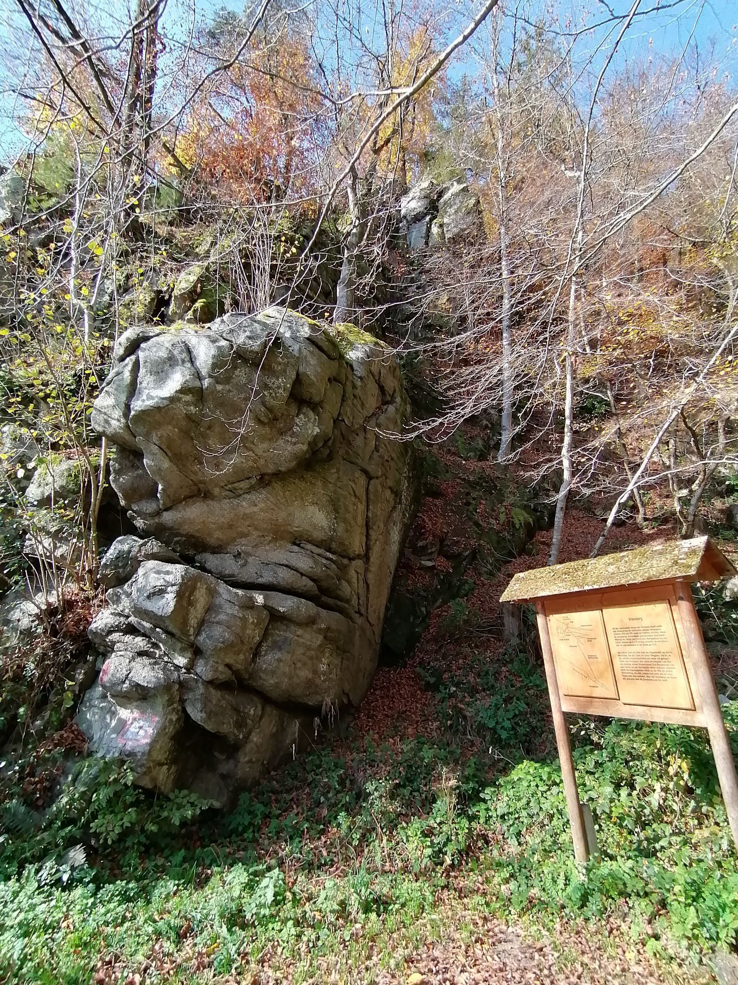
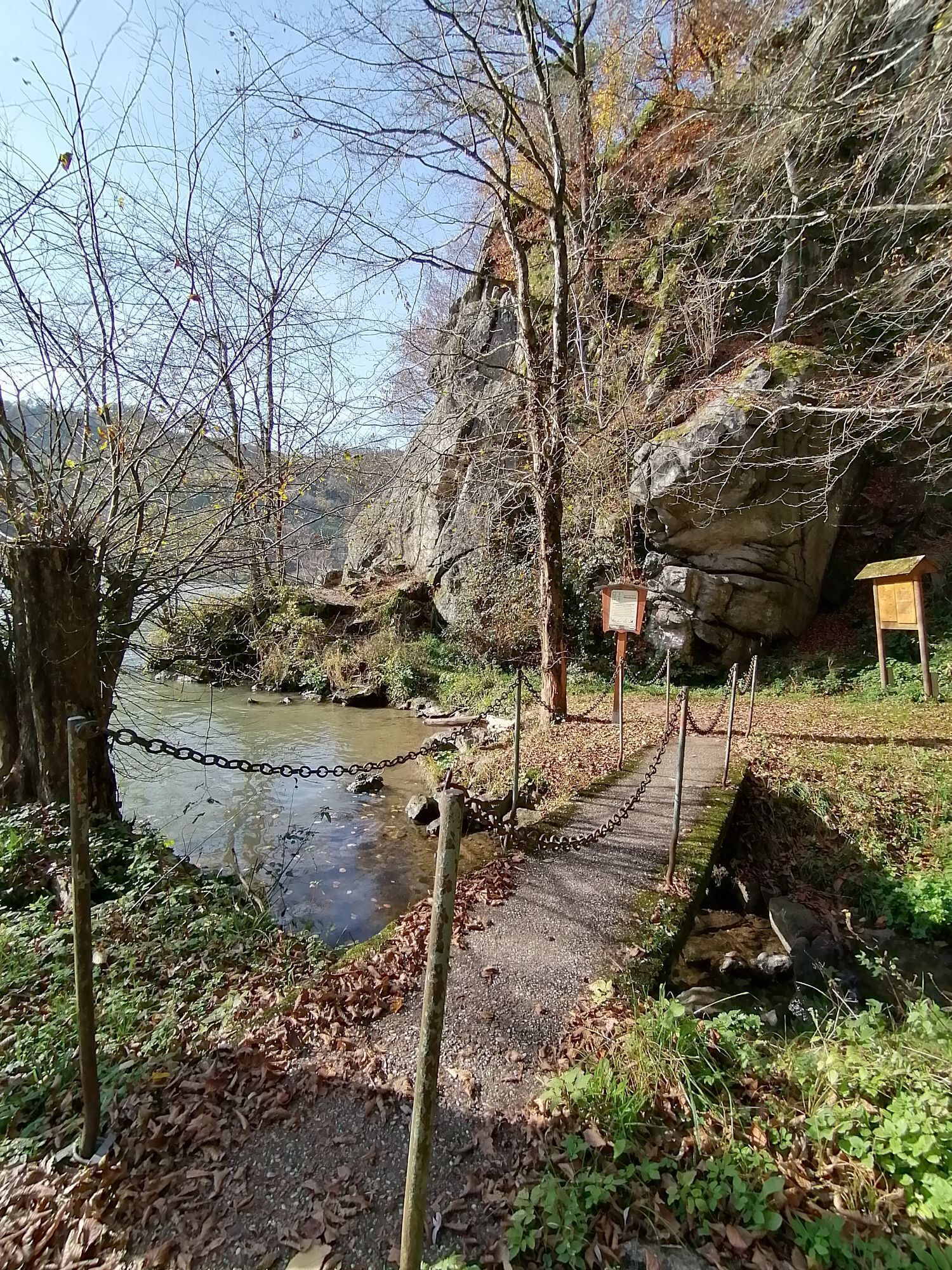
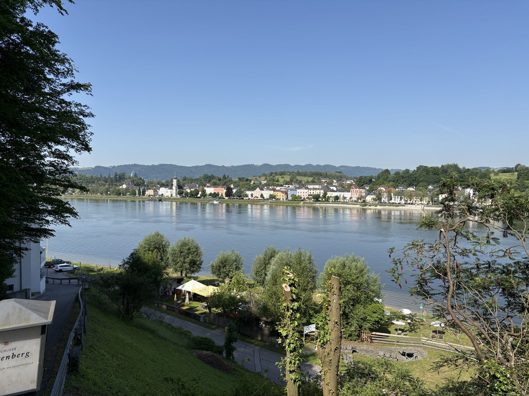
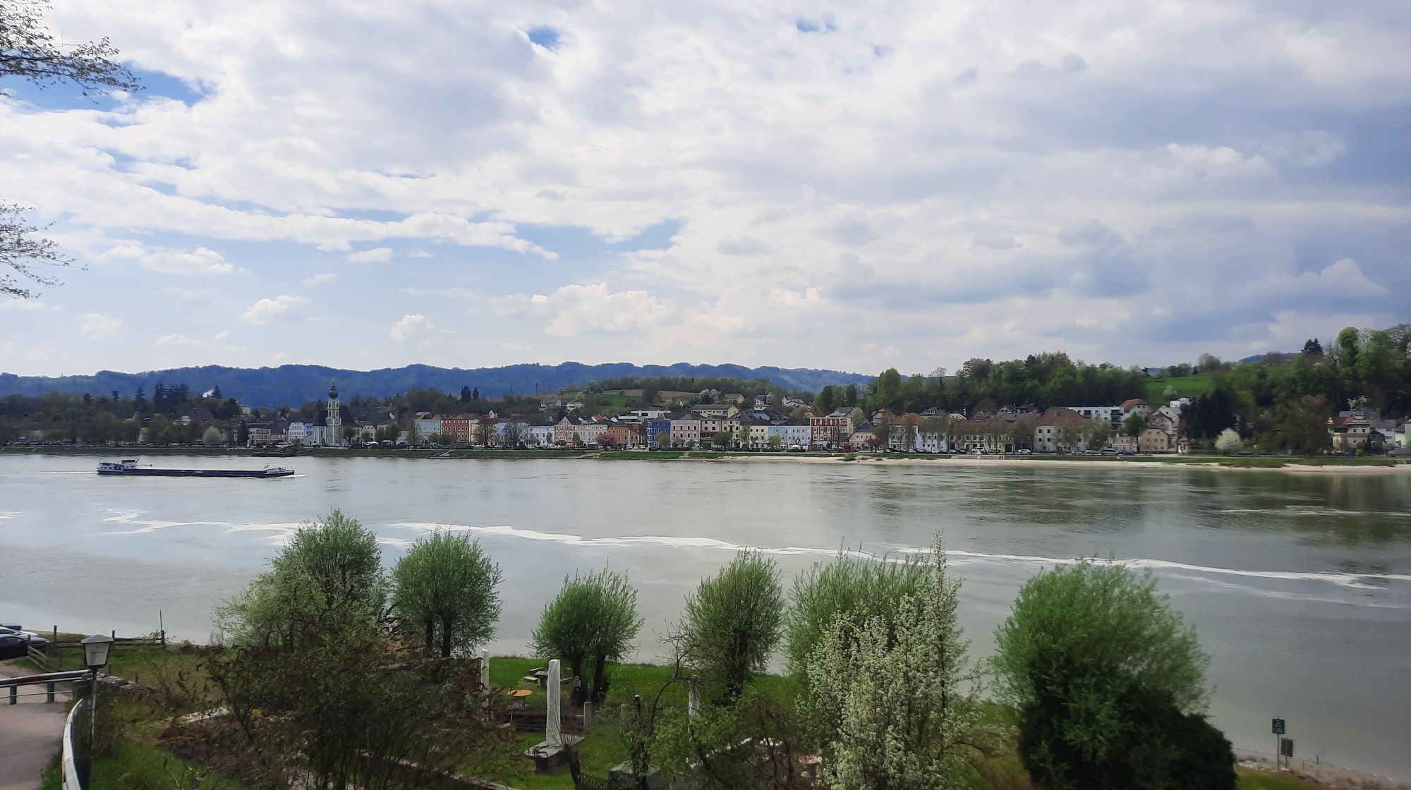
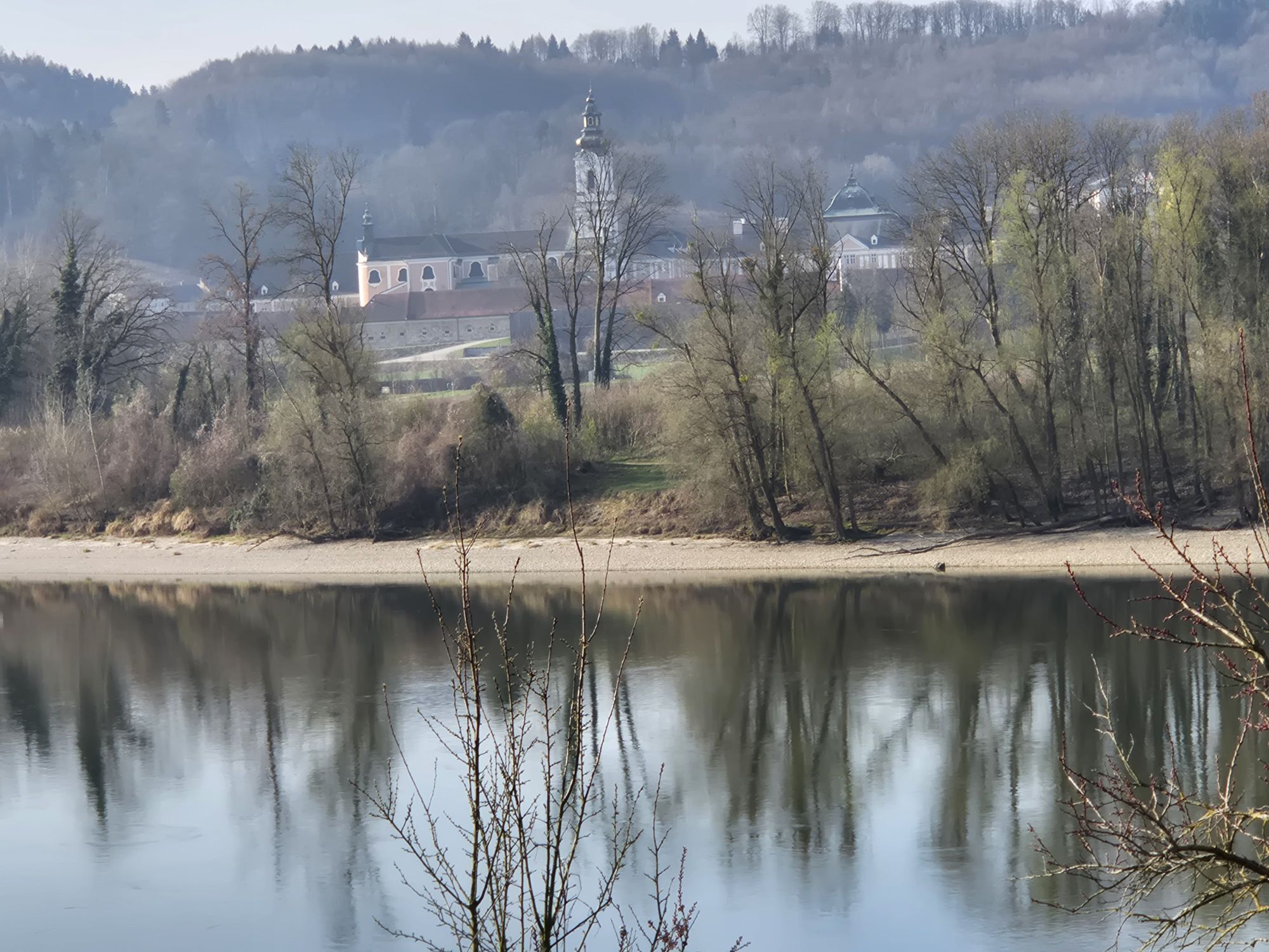
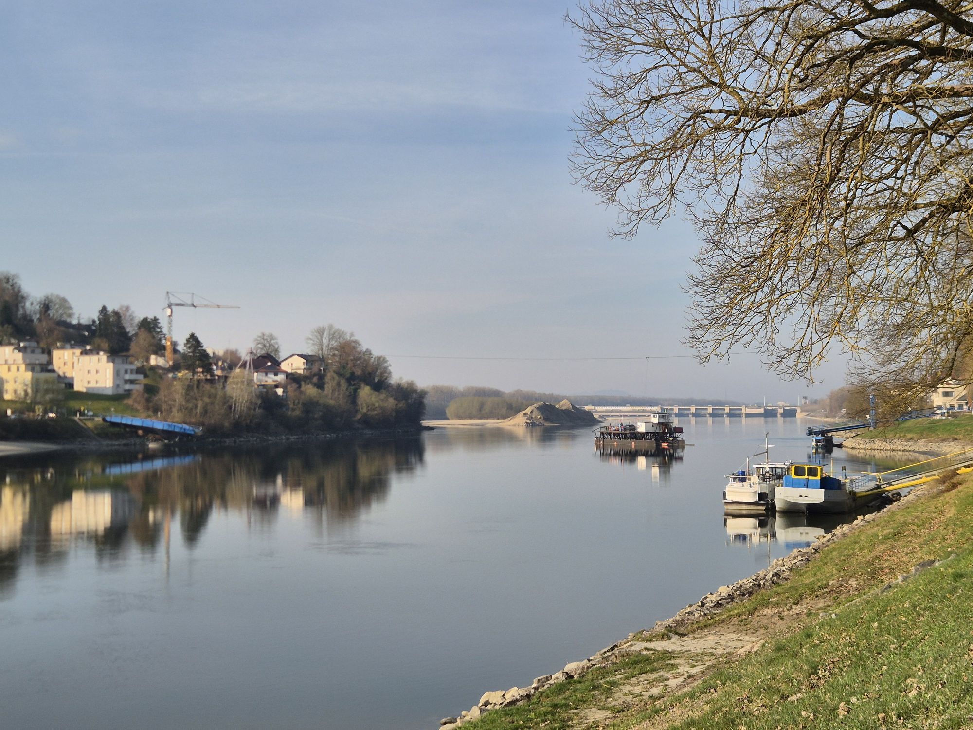
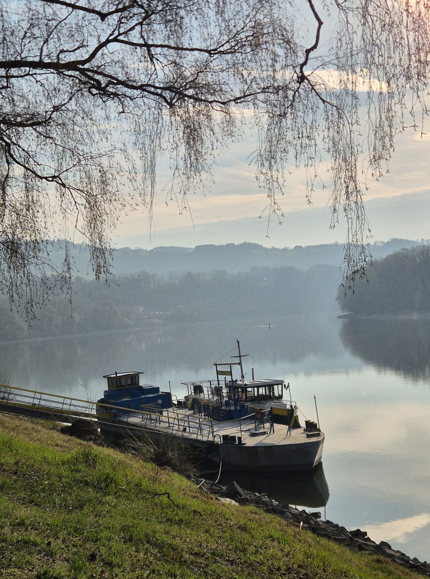
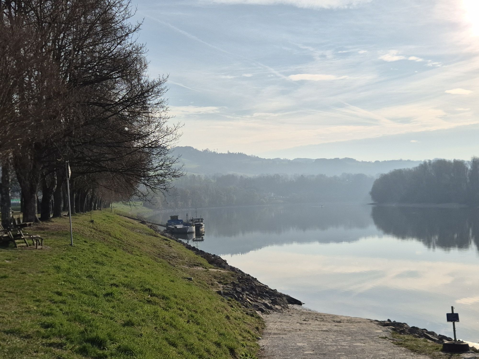
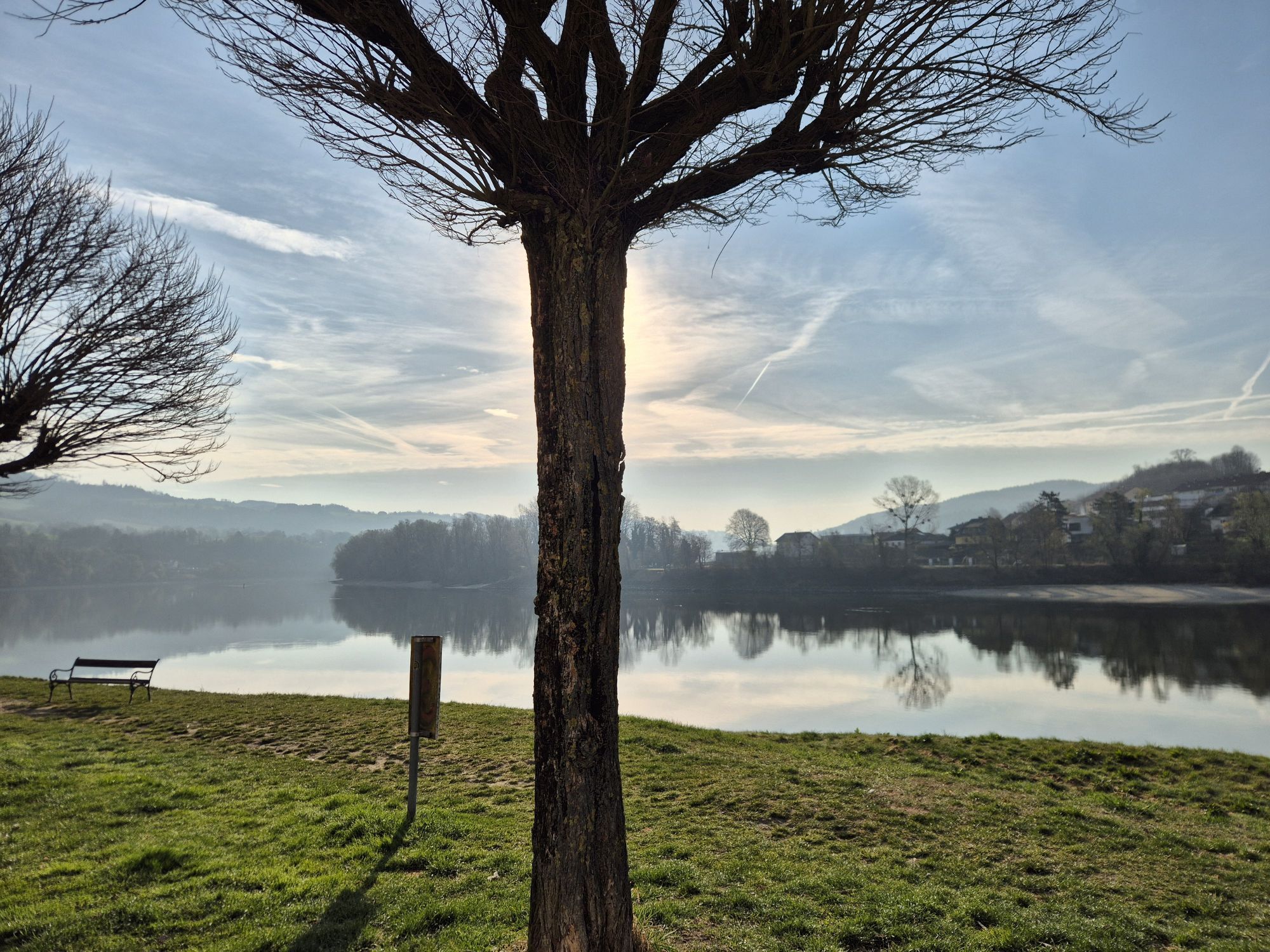
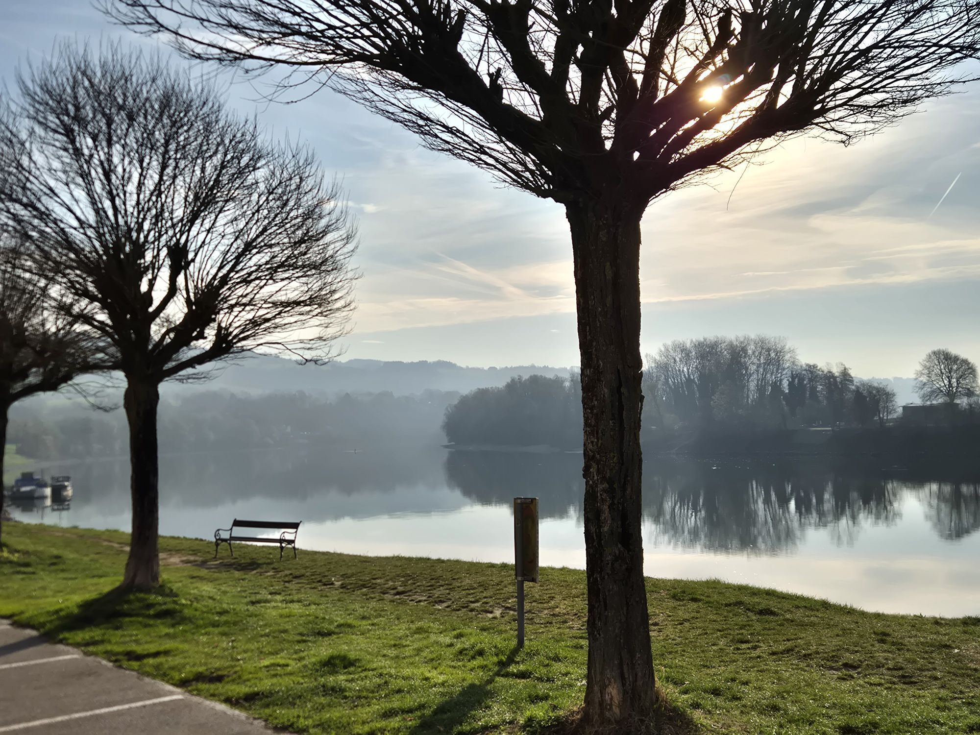
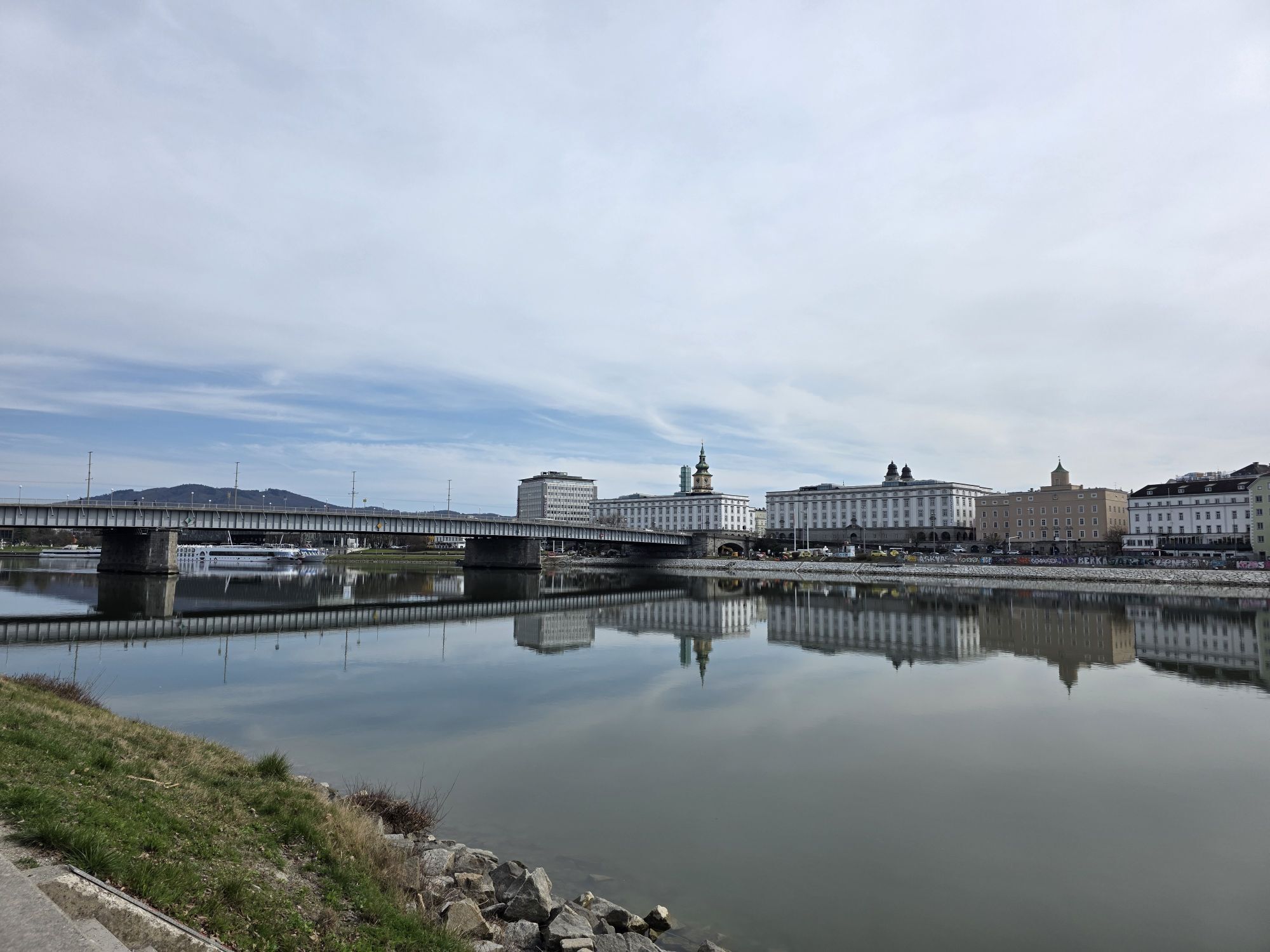
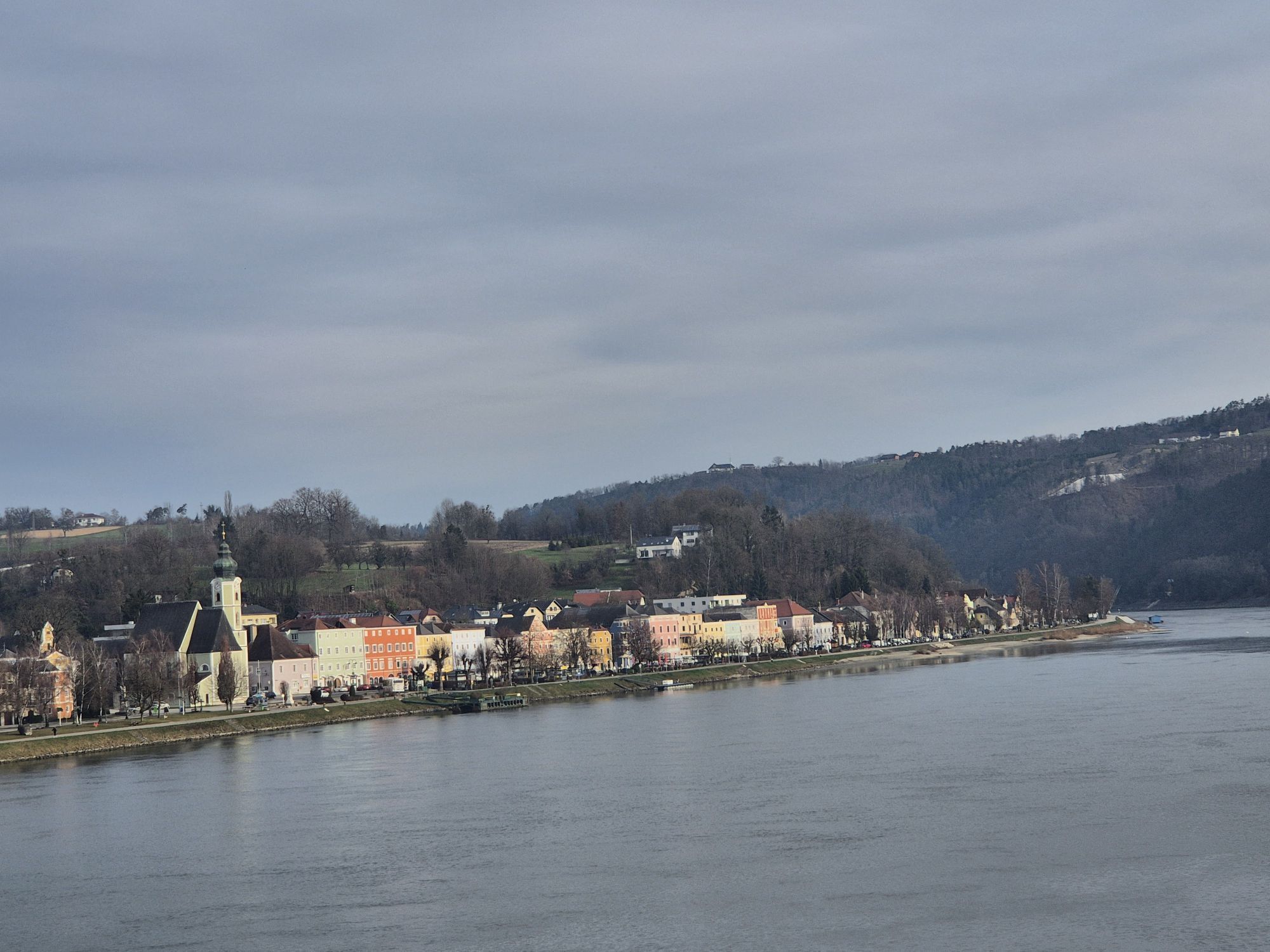
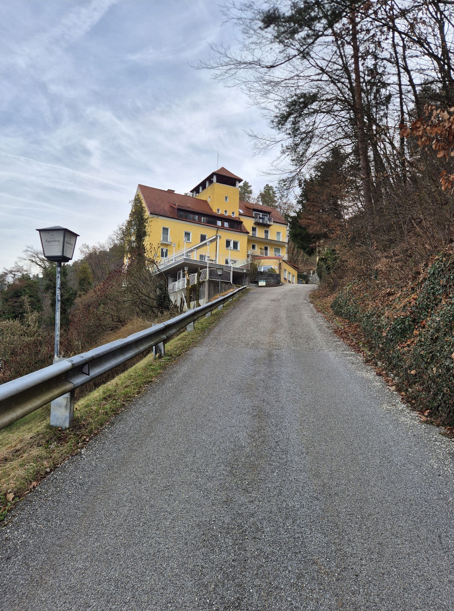
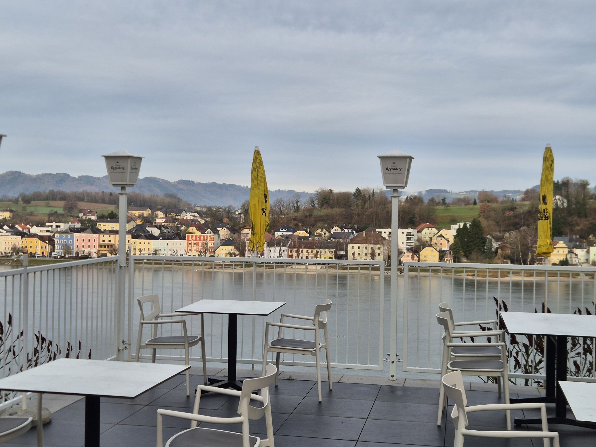
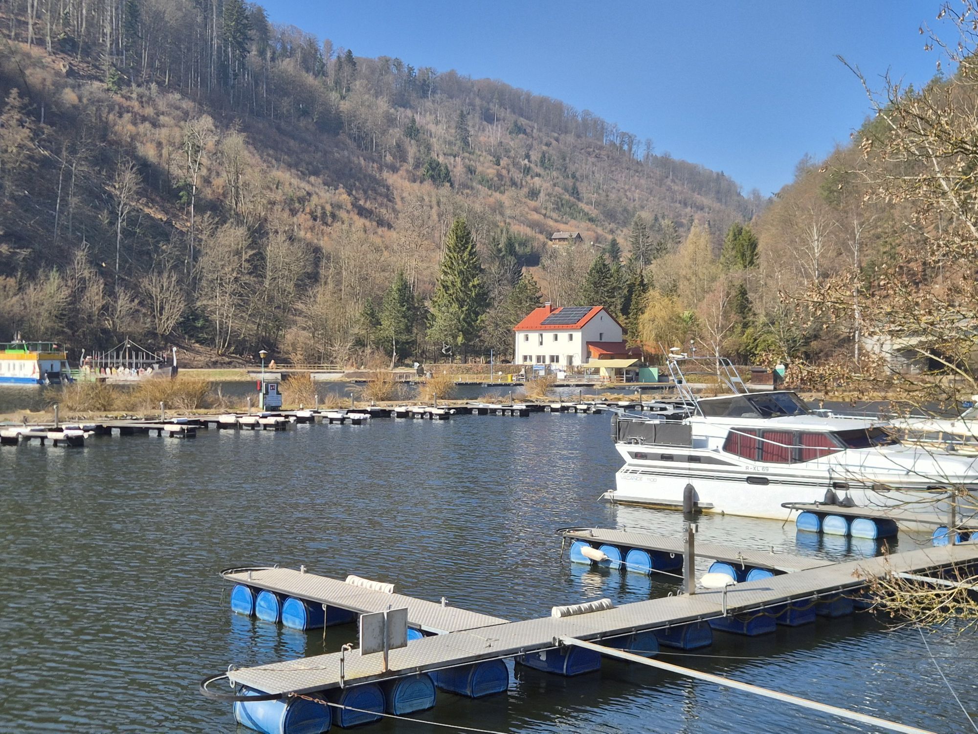
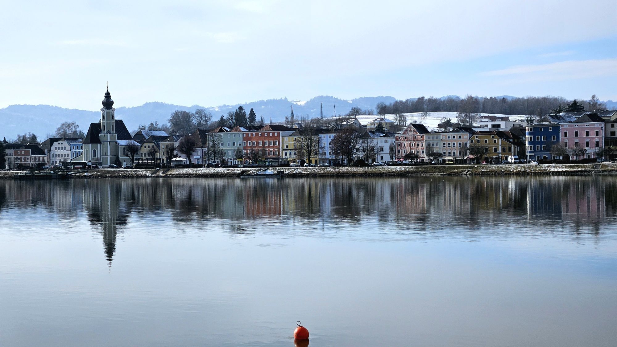
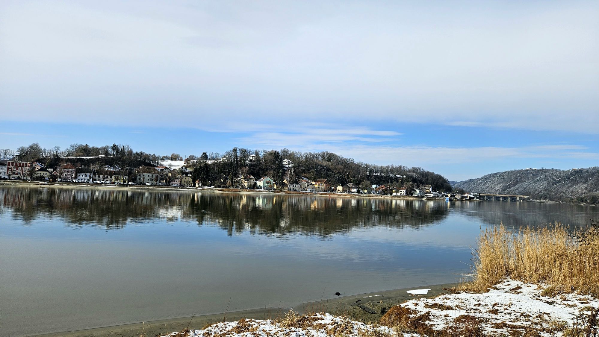
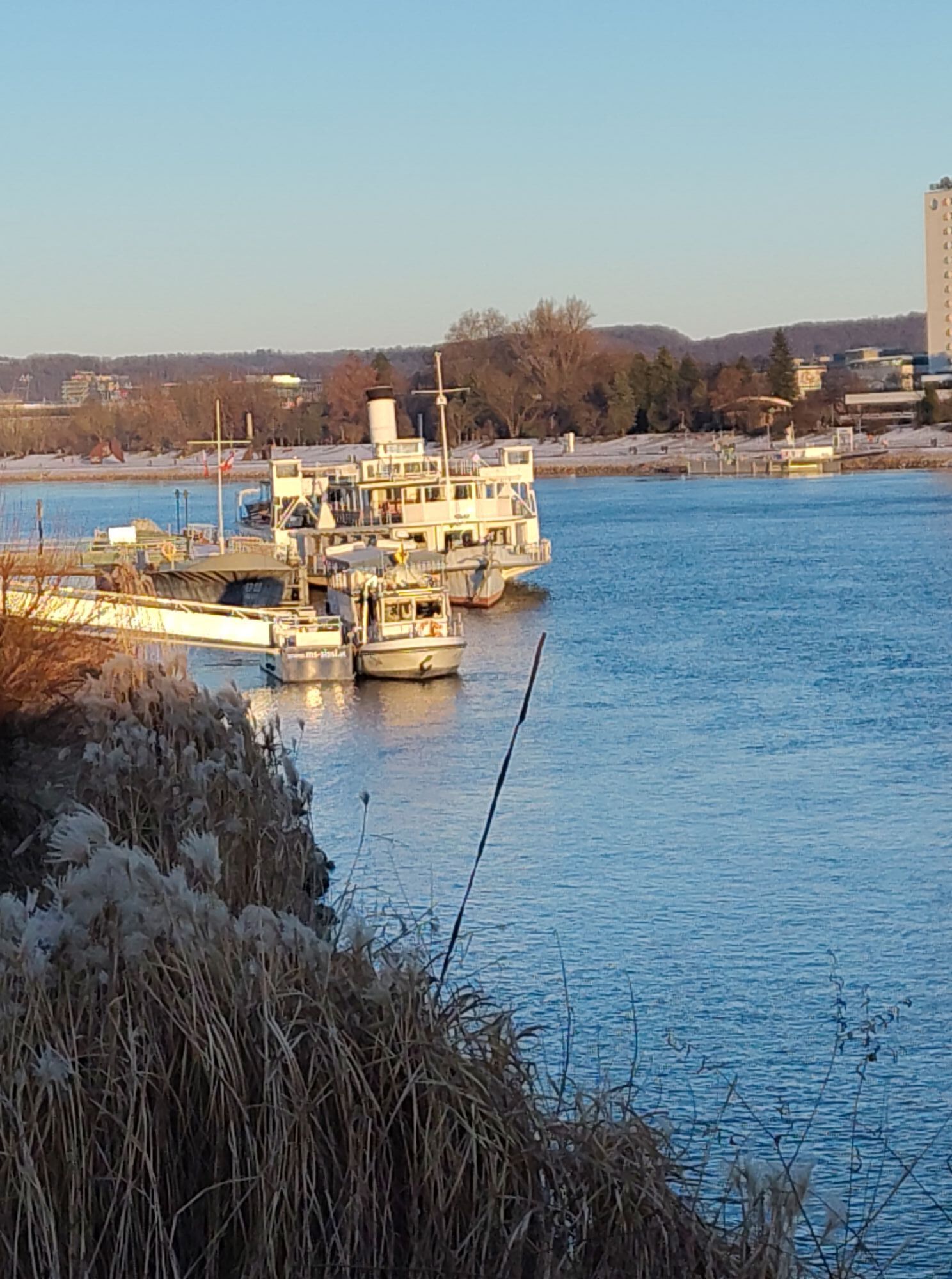
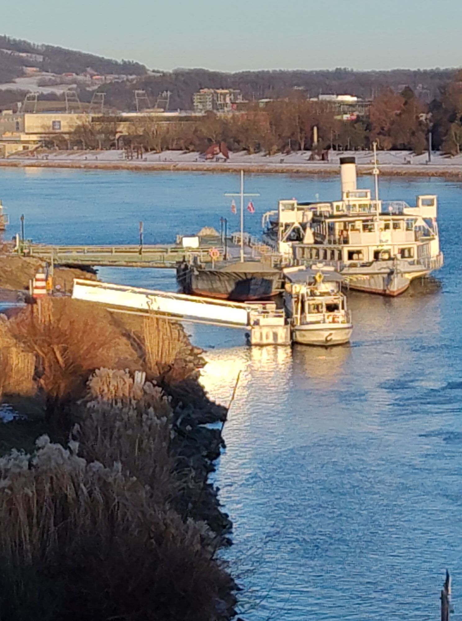
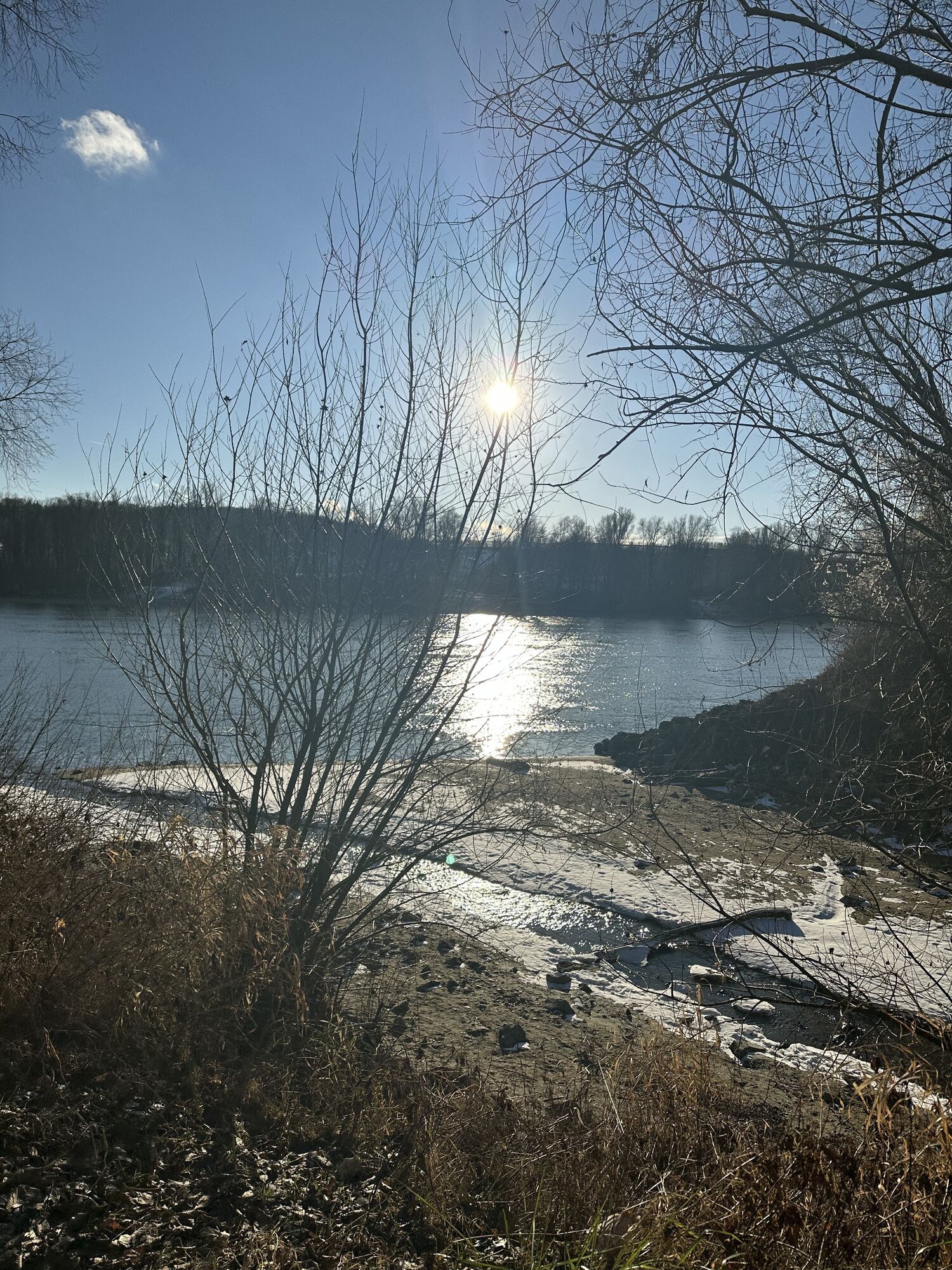
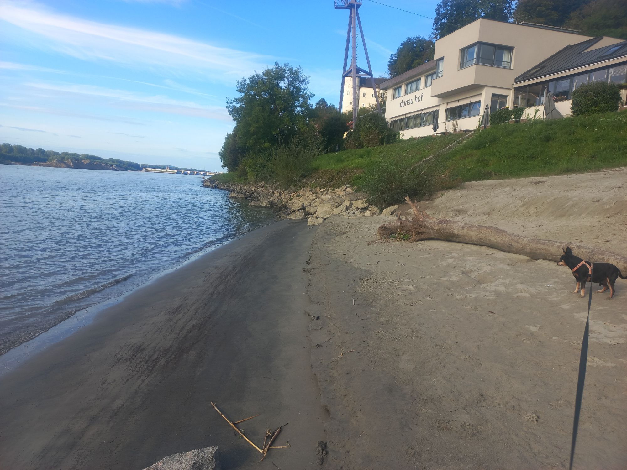
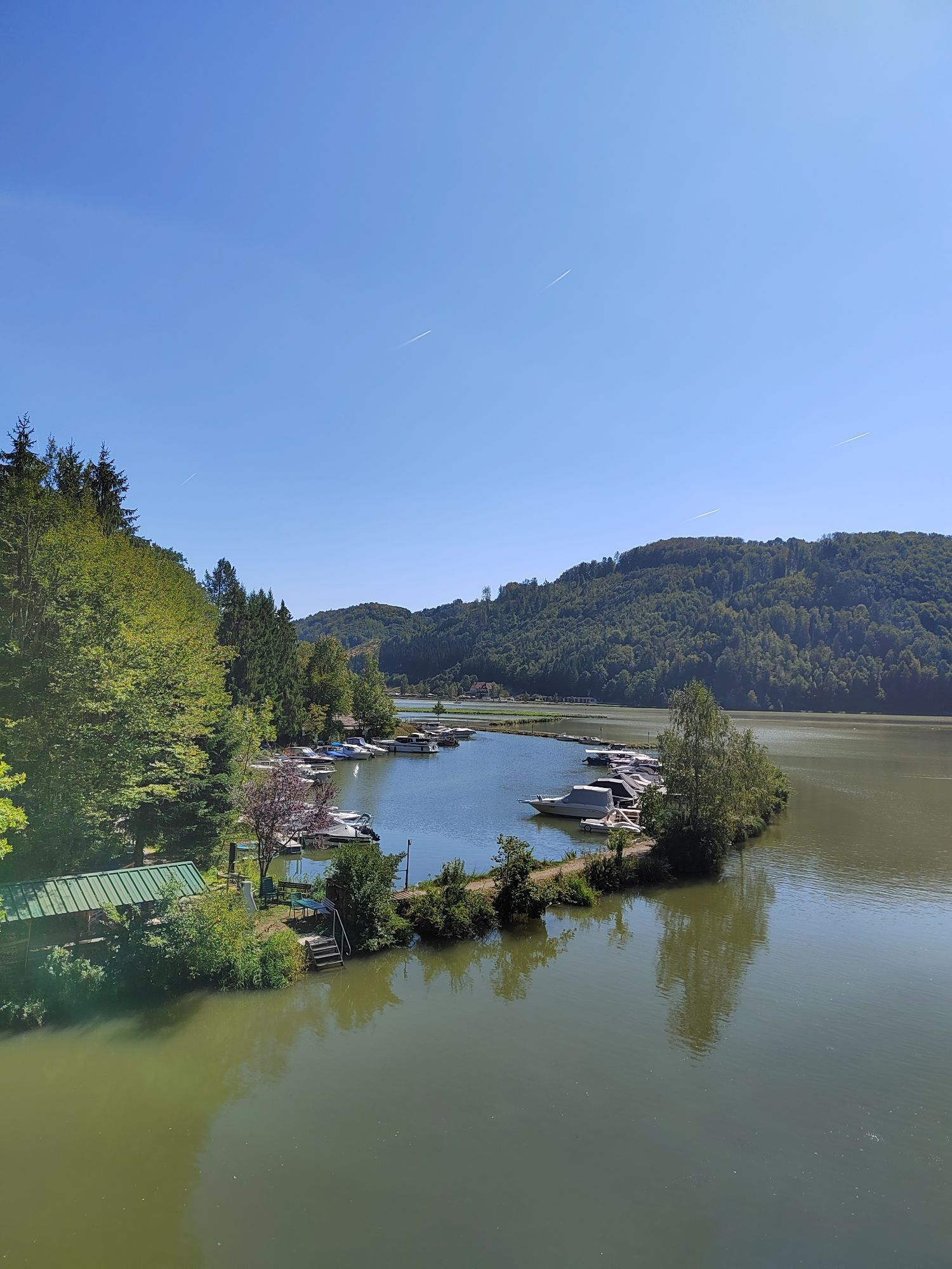
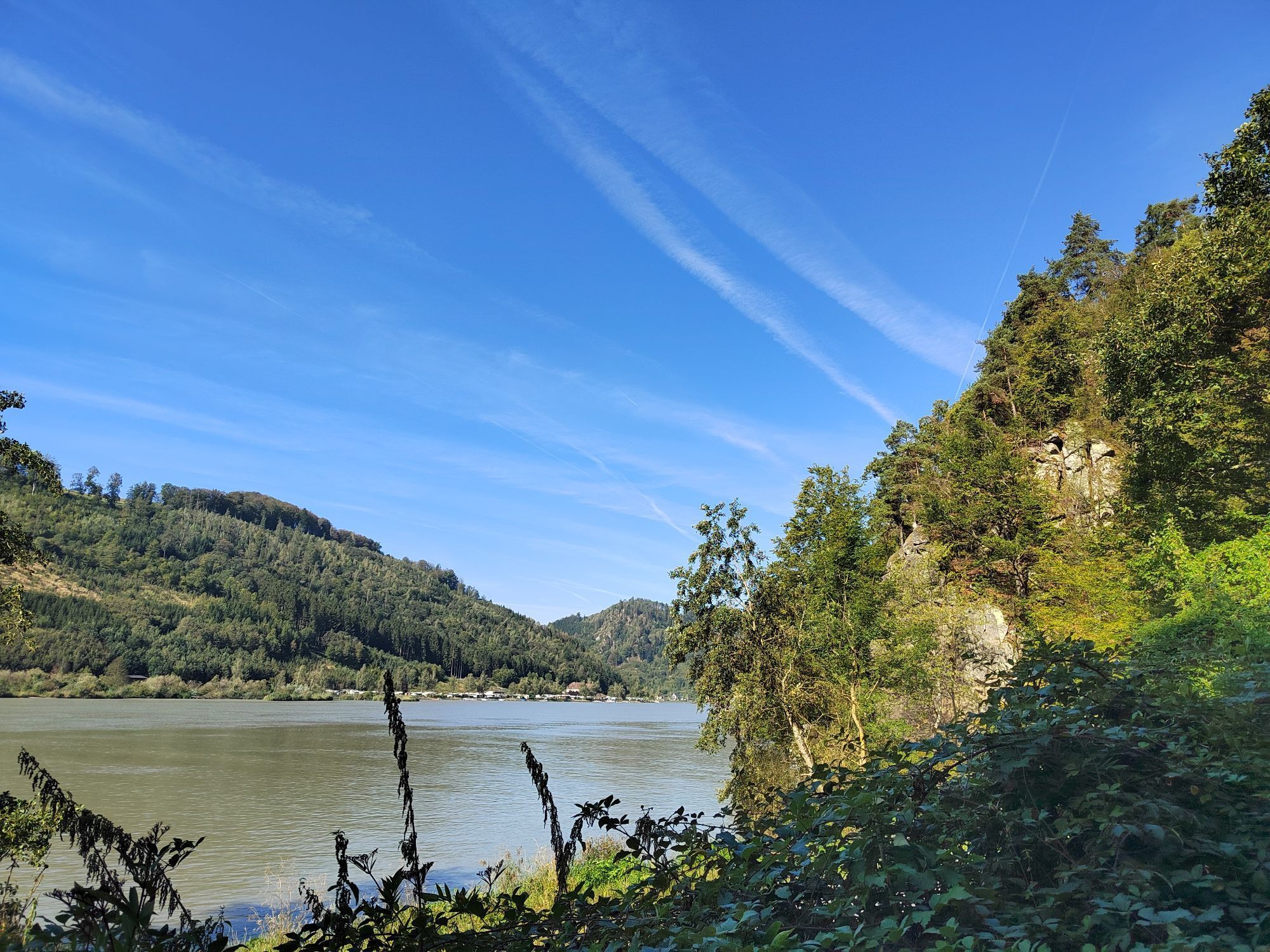
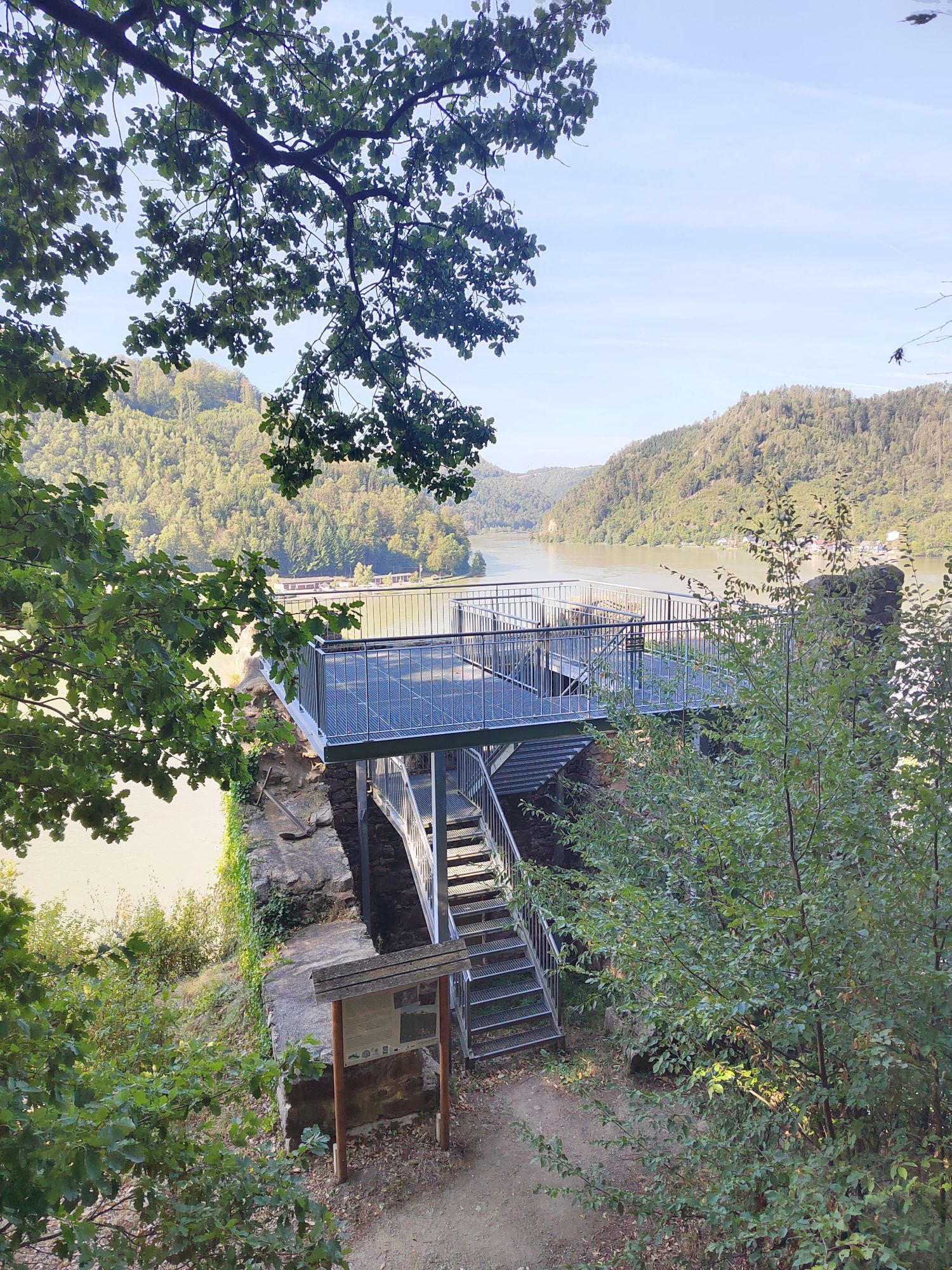
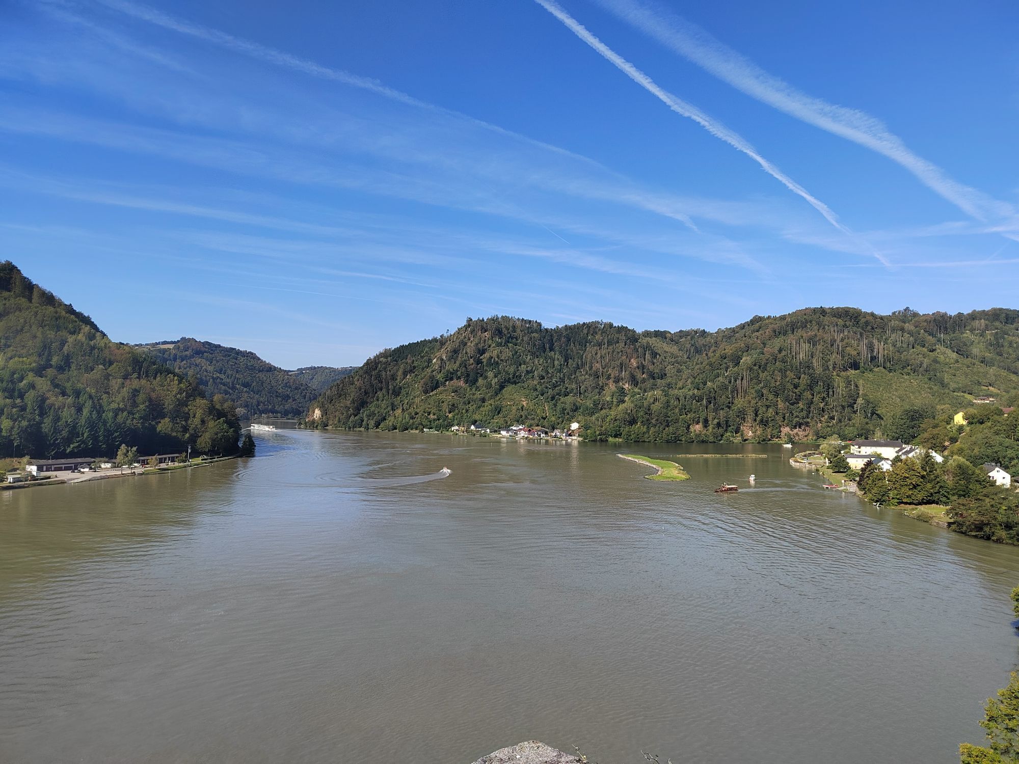
Begin this day stage with a short hike – namely to the "Schlögener Donaublick," 30 minutes above the town of Schlögen. From here, you have a magnificent view of the famous Schlögener Danube bend, which...
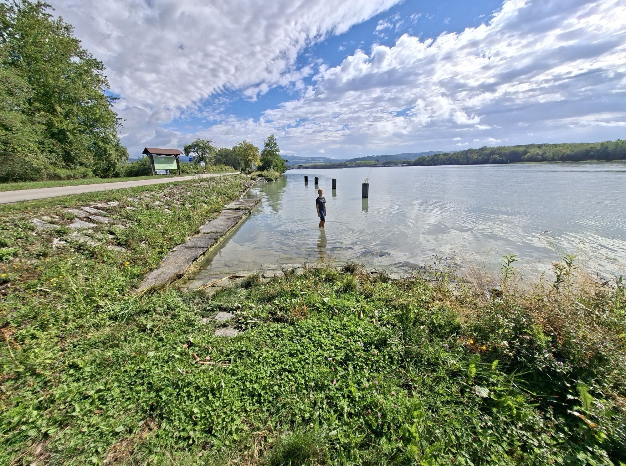
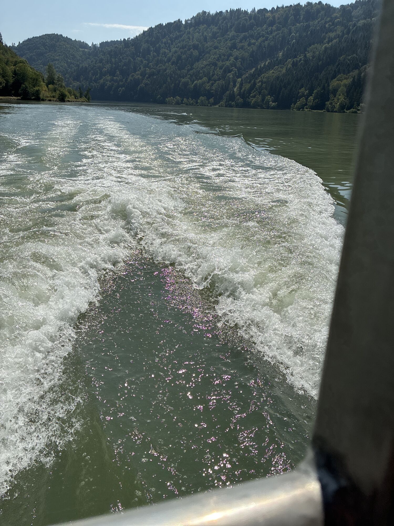
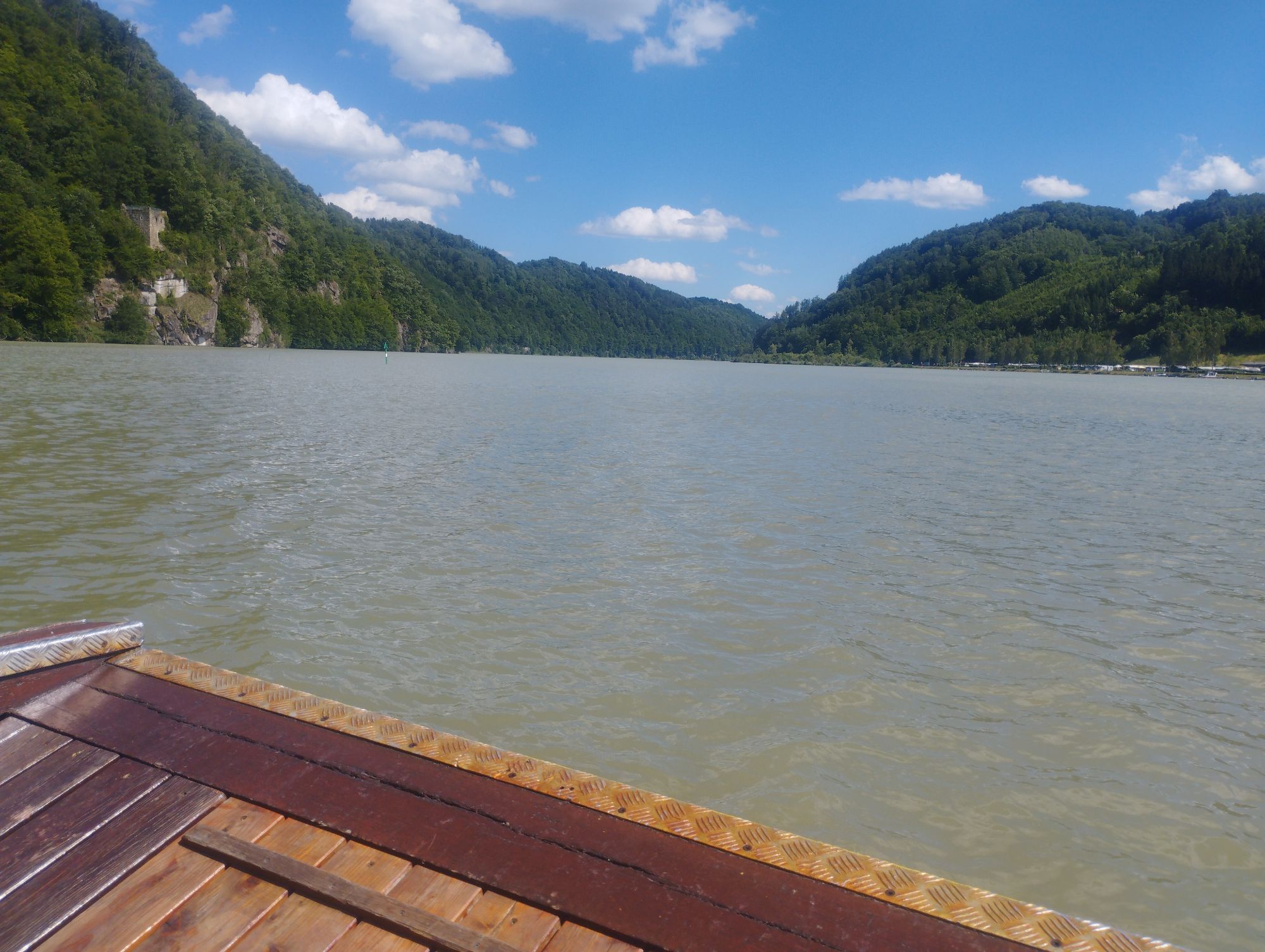
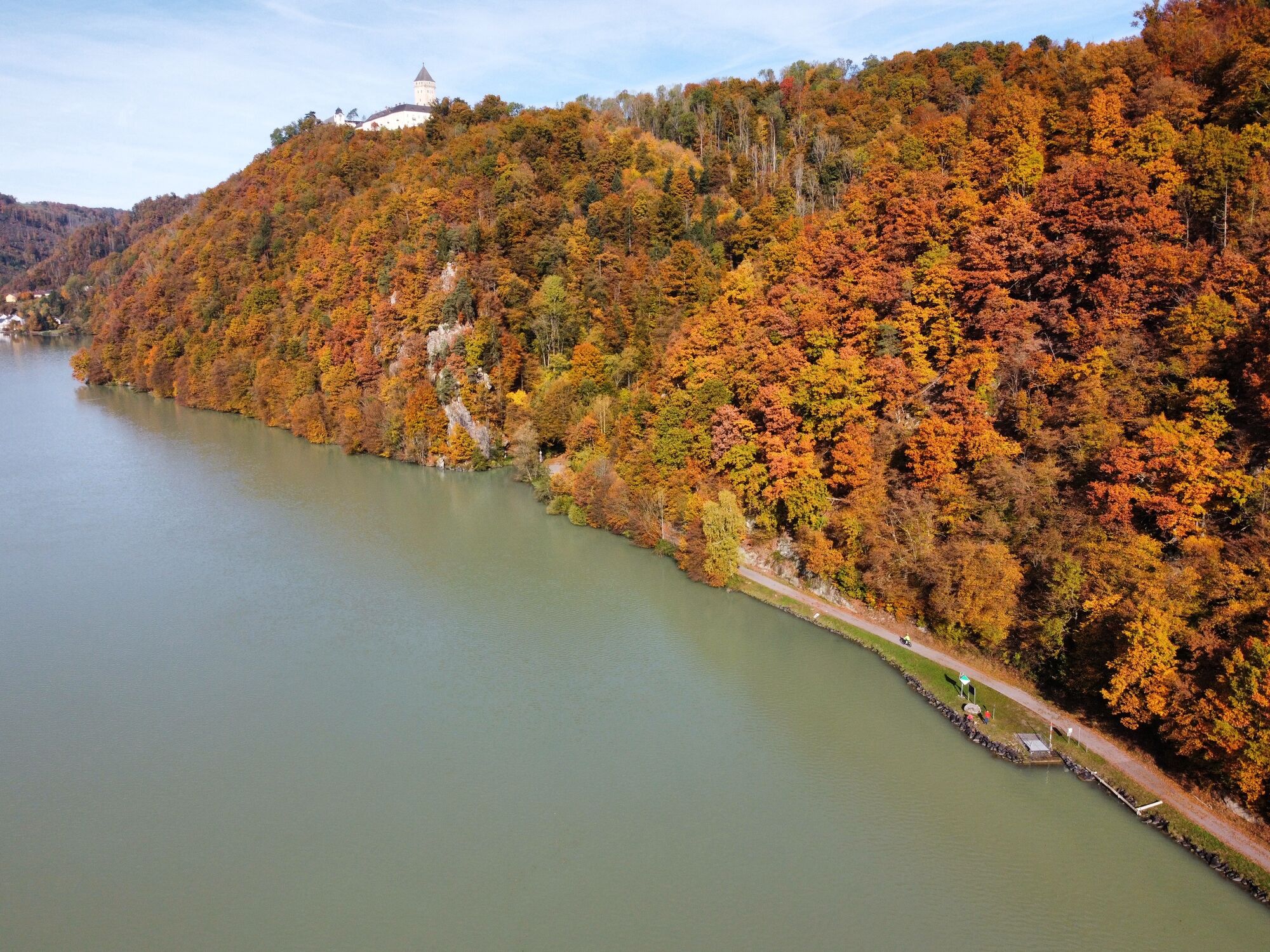
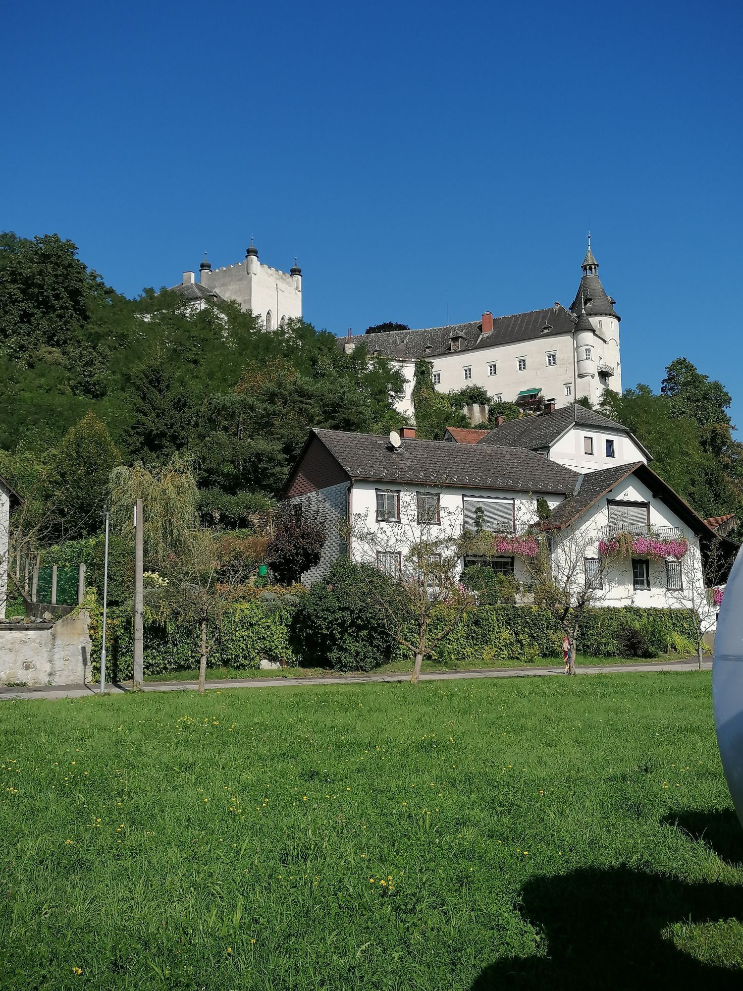
<p>Begin this day stage with a short hike – namely to the "Schlögener Donaublick," 30 minutes above the town of Schlögen. From here, you have a magnificent view of the famous Schlögener Danube bend, which changes its course twice shortly one after the other in opposite directions. After a short ferry ride with the Donaubus longitudinal ferry to Grafenau, you will soon cycle along the forested slopes of this river meander.</p><p>Passing the small village of Obermühl, you reach the end of the Schlögener bend at Untermühl, where you cross a short section by longitudinal ferry. High above you rises Schloss Neuhaus on a wooded rock (private property).</p><p>A little further downstream, near Unterlandshaag in the Freizeltland Feldkirchen on the Danube, the path leads you a short way inland to the campanile in the middle of the center. A stunning panorama is offered by a small detour via the new direct descent to the bathing lake area with a Morotik park, the JETLAKE water sports center, the Donau Golf Club, and a campsite.</p><p>After a while, Schloss Ottensheim greets you from a hill above the market town of the same name. The majority of this stage is now behind you – and you have enough time to admire the marketplace of Ottensheim with its elegant townhouses from the 16th century. Soon after, the day's destination Linz is reached – either by bike on the Danube cycle path, by a train journey on the Mühlkreisbahn, or by a water trip with the Donaubus. </p>

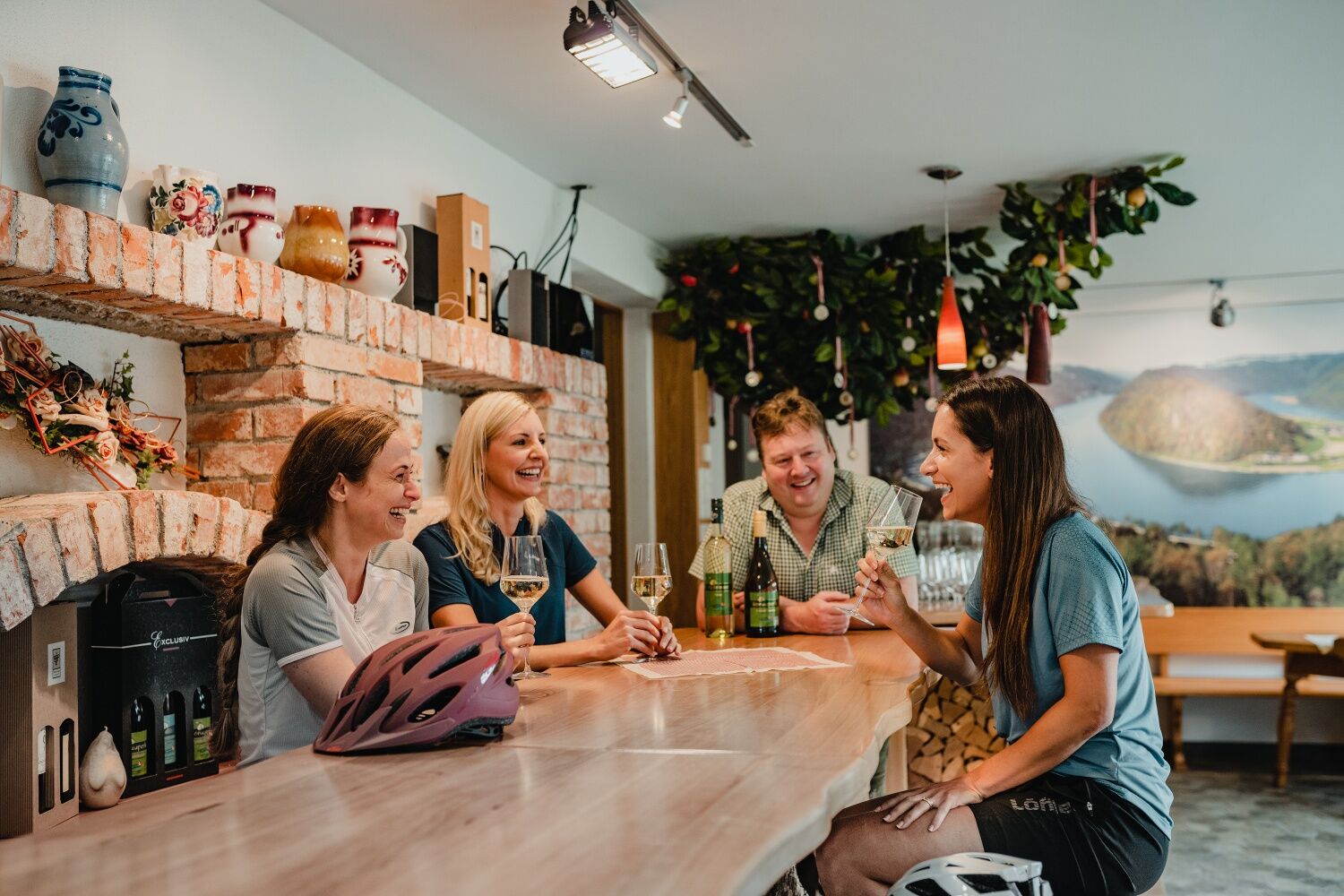
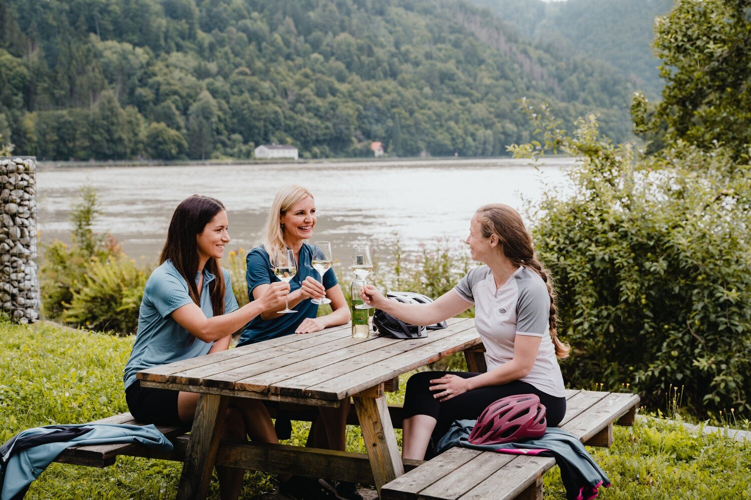
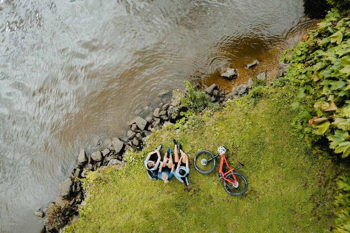
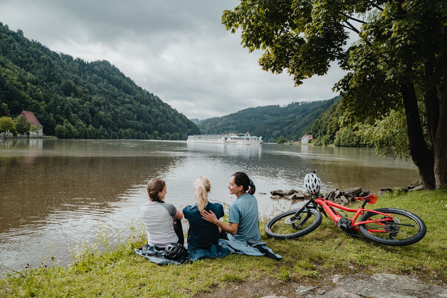
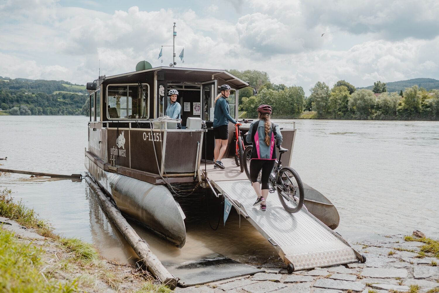
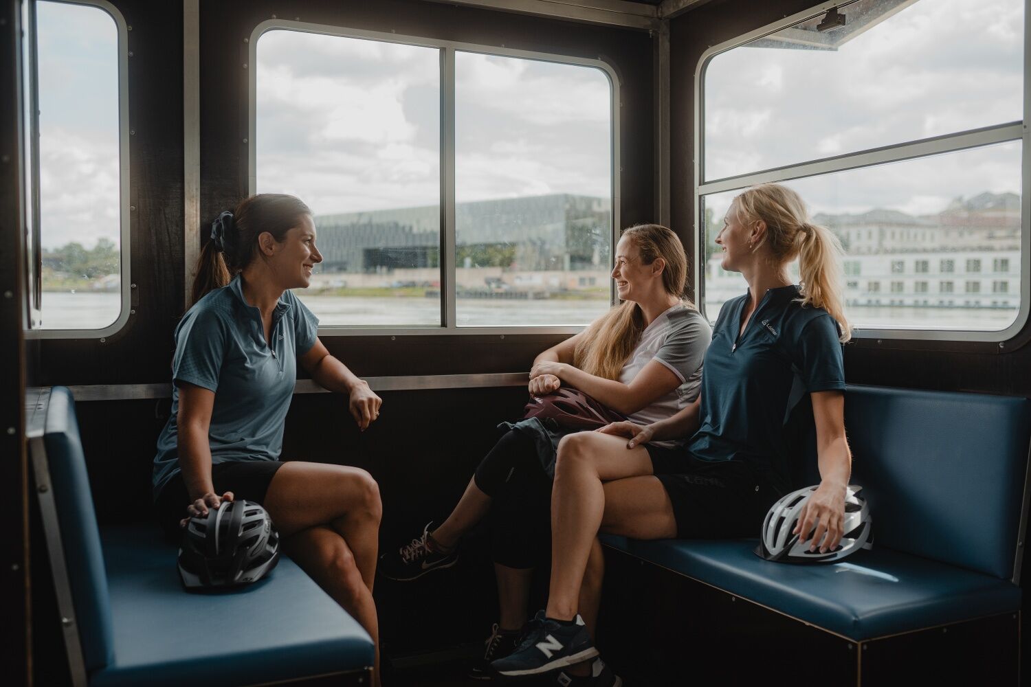
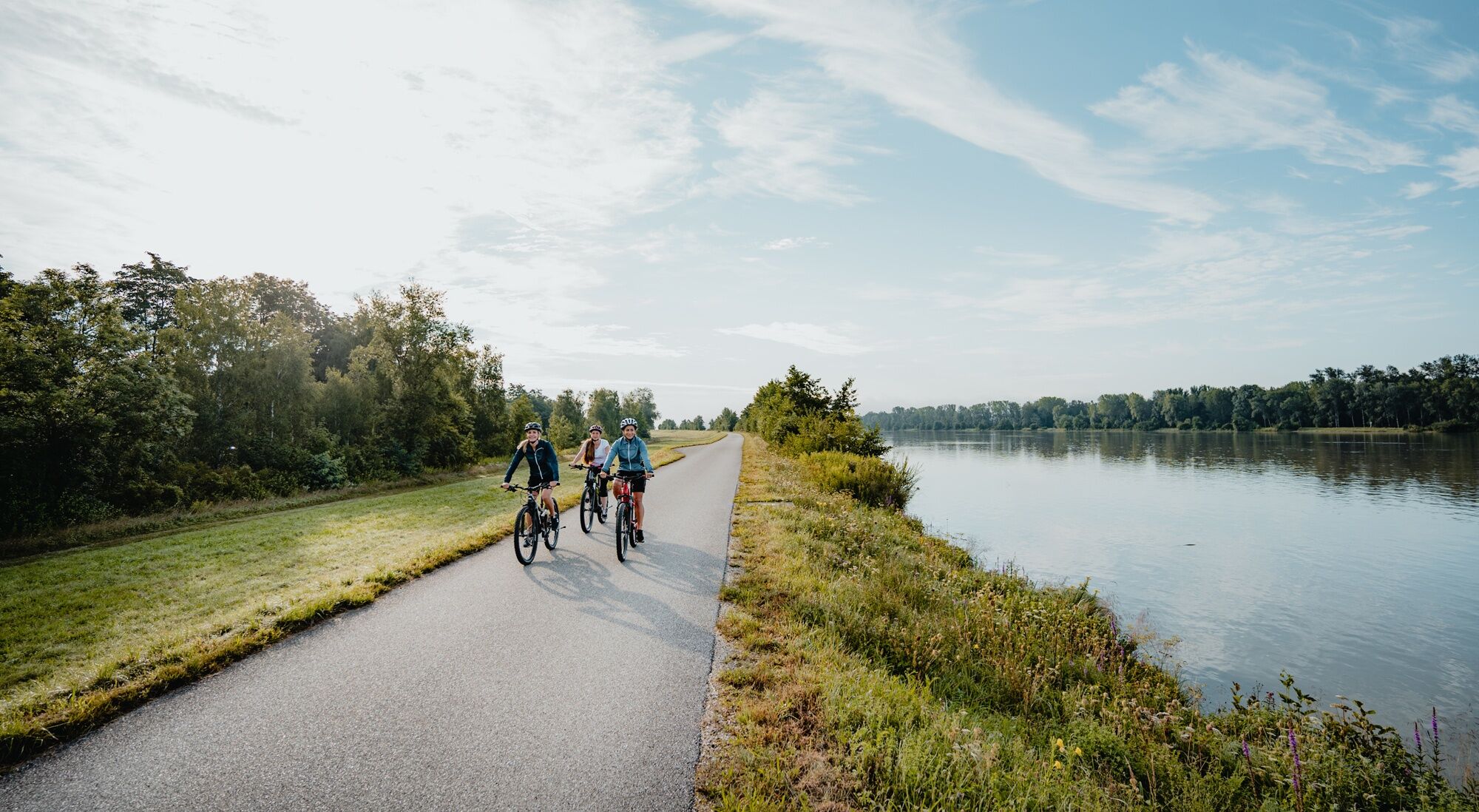
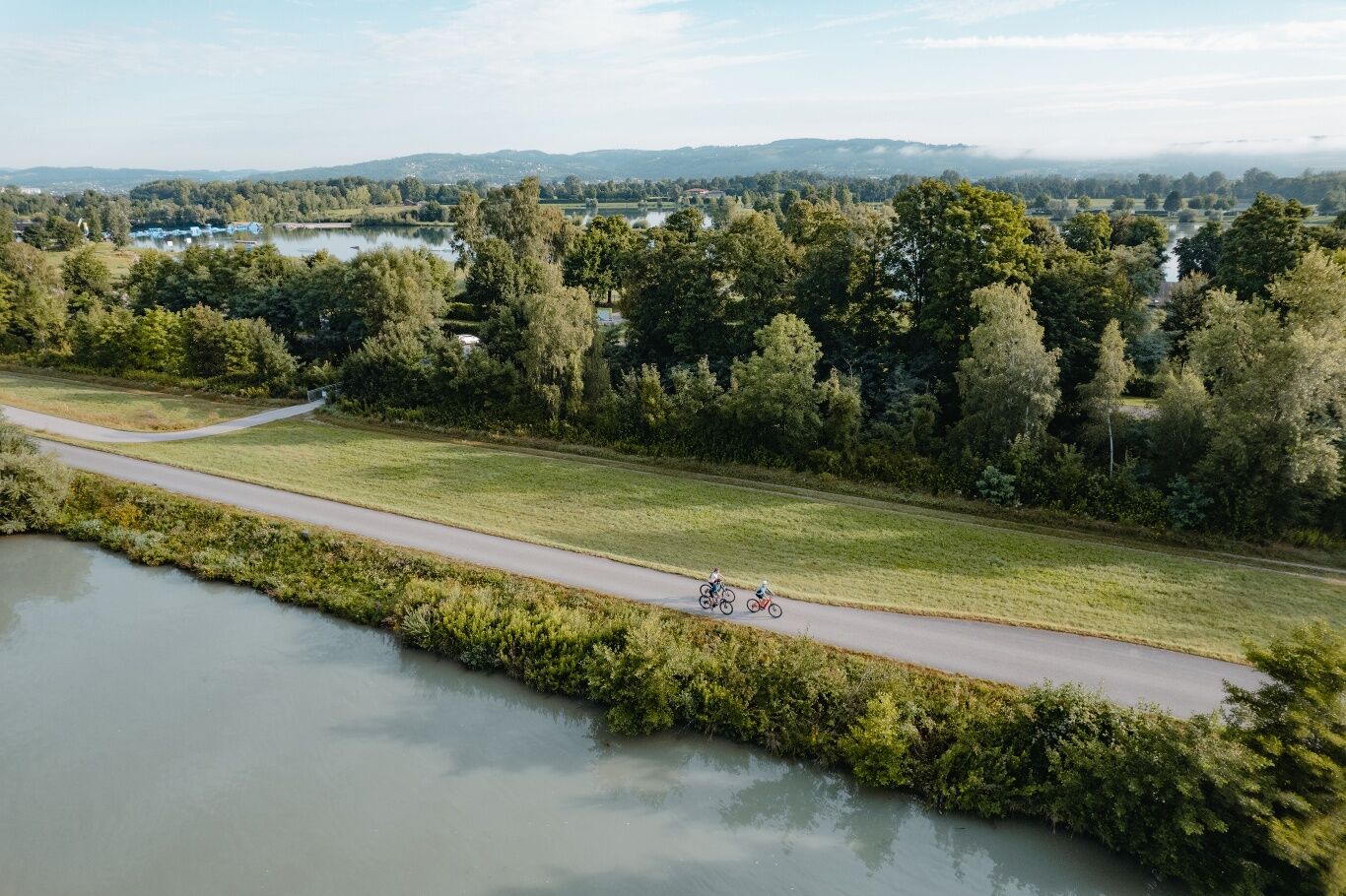
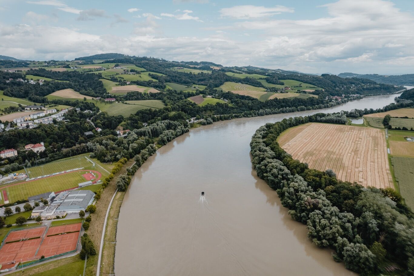
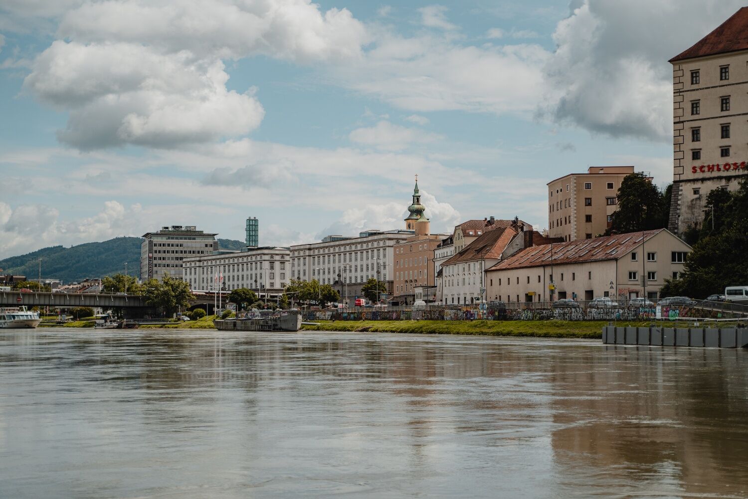

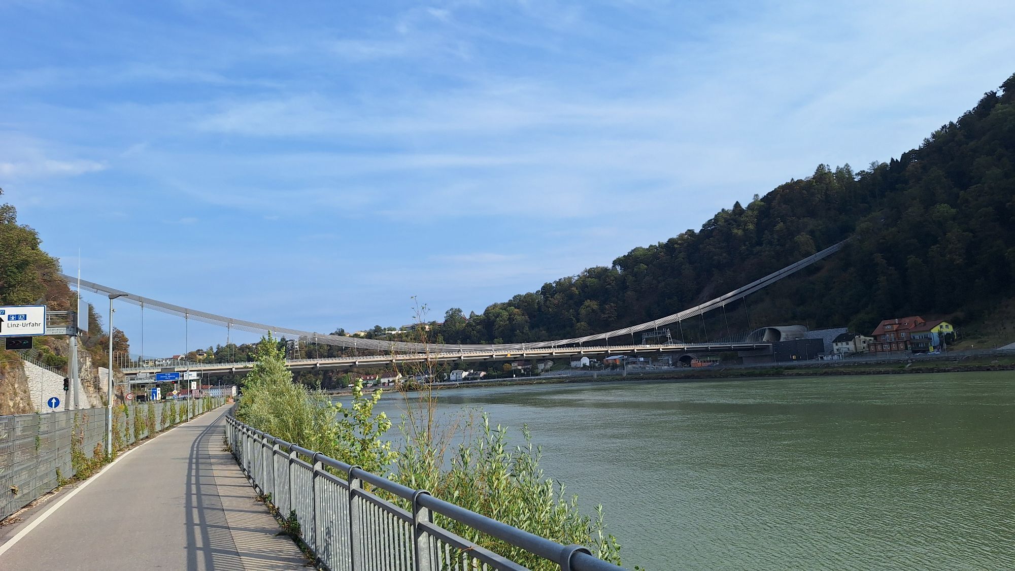
<p>Schlögen - Obermühl - Untermühl - Unterlandshaag - Feldkirchen - Ottensheim - Linz</p><p><strong>Route Description</strong></p><p>You start this route by crossing from Schlögen to the northern Danube bank with the bike ferry and bridging a pathless stretch with the Au-Grafenau longitudinal ferry. As soon as you have solid ground underfoot again, you cycle along the river course, take the small detour at Obermühl, and after some time arrive in Untermühl. Above you, you see Schloss Neuhaus.</p><p>At Unterlandshaag opposite the Donaumarkt Aschach, you say goodbye to the Danube and follow the path through Feldkirchen, a rural cultural landscape and an important region for fruit and vegetable cultivation. Here too, there is the opportunity to admire a medieval splendid building. However, Schloss Mühldorf (hotel operation) is privately owned and can only be viewed from the outside.</p><p>Shortly after passing Feldkirchen, the path runs again along the Danube bank. You cycle past the Feldkirchen bathing lakes, where a stop and a jump into the cool water is worth it (water skiing, diving, wakeboarding, etc.), and finally reach Ottensheim. After a last rest there and a meal in one of the many restaurants, it is only a short way to the stage destination Linz, whose cathedral you can already see from afar.</p><p><strong>TIP:</strong> Enjoy either a train ride from Ottensheim to Linz on the Mühlkreisbahn at the end of this stage (here's the timetable) or end the stage with a trip on the water with the Donaubus. Bike transport is free. On lovely days, a reservation is recommended. (Here’s the reservation)</p>
<p>On Nibelungen Road (B130) to Schlögen.</p>
<p>By bus to the Schlögen Abzw. Innzell stop.</p>
<p>Parking available at Hotel Donauschlinge.</p>
Verantwortlicher für den Inhalt dieser Tour
WGD Donau Oberösterreich Tourismus GmbH
Letzte Aktualisierung: 23.11.2025
Exploration journeys with a delightful stopover! This route passes directly by the following culinary partners:
Donautaler Mostkellerei
Hotel Restaurant Fautschlösssl
Webové kamery z prehliadky
-
Puchenau
-
Linz/Pöstlingberg
-
Linz / Donau
-
Linz - Arcotel Nike Linz
-
hello yellow Pumptrack/Velodrom
-
Mayrhofberg bei Stroheim
-
Mayrhofberg bei Stroheim
-
Mayrhofberg bei Stroheim
-
Mayrhofberg bei Stroheim
-
St. Agatha - Etzinger Hügel
-
Schlögen - Donauschlinge
-
Feldkirchen - Badeseen
-
Pleschinger See
-
hello yellow Pumptrack/Velodrom
-
hello yellow Pumptrack/Velodrom
-
Puchenau
-
Puchenau Achleitnersiedlung
-
Puchenau Achleitnersiedlung
-
Ottensheim - Dürnberg
-
Bahnhof Eferding
-
Leonding

Aktivity počas prehliadky


Obľúbené výlety v okolí
-
4,0
Kerzensteinwanderung im "Naturschutzgebiet Pesenbachtal"
strednáTuristika 4,16 km -
4,6
Kirschblütenrunde Scharten
strednáTuristika 11,6 km -
4,7
Prinzensteig Rundweg
svetloTuristika 13,7 km -
4,2
Kirschblütenwanderung
svetloTematická trasa 9,04 km -
4,4
Ottensheim: Danube Panorama Route
strednáTuristika 8,14 km -
4,8
Dunajská cyklocesta, 2. etapa, južný breh: Schlögen - Linz
svetloDiaľková cyklotrasa 53 km -
4,1
Kürnbergwald - kurzer Rundwanderweg
svetloTuristika 9,46 km -
3,8
Weberbartlweg
svetloTuristika 8,48 km -
4,5
Gramastetten: 3 Streams - 4 Mountains Route
Turistika 15,4 km -
4,4
Bleicherbachrunde
svetloTuristika 9,06 km
Turistika a stopovanie


Nenechajte si ujsť ponuky a inšpiráciu na ďalšiu dovolenku
Vaša e-mailová adresa bol pridaný do poštového zoznamu.





