







Grande Granite Round: Stage 5
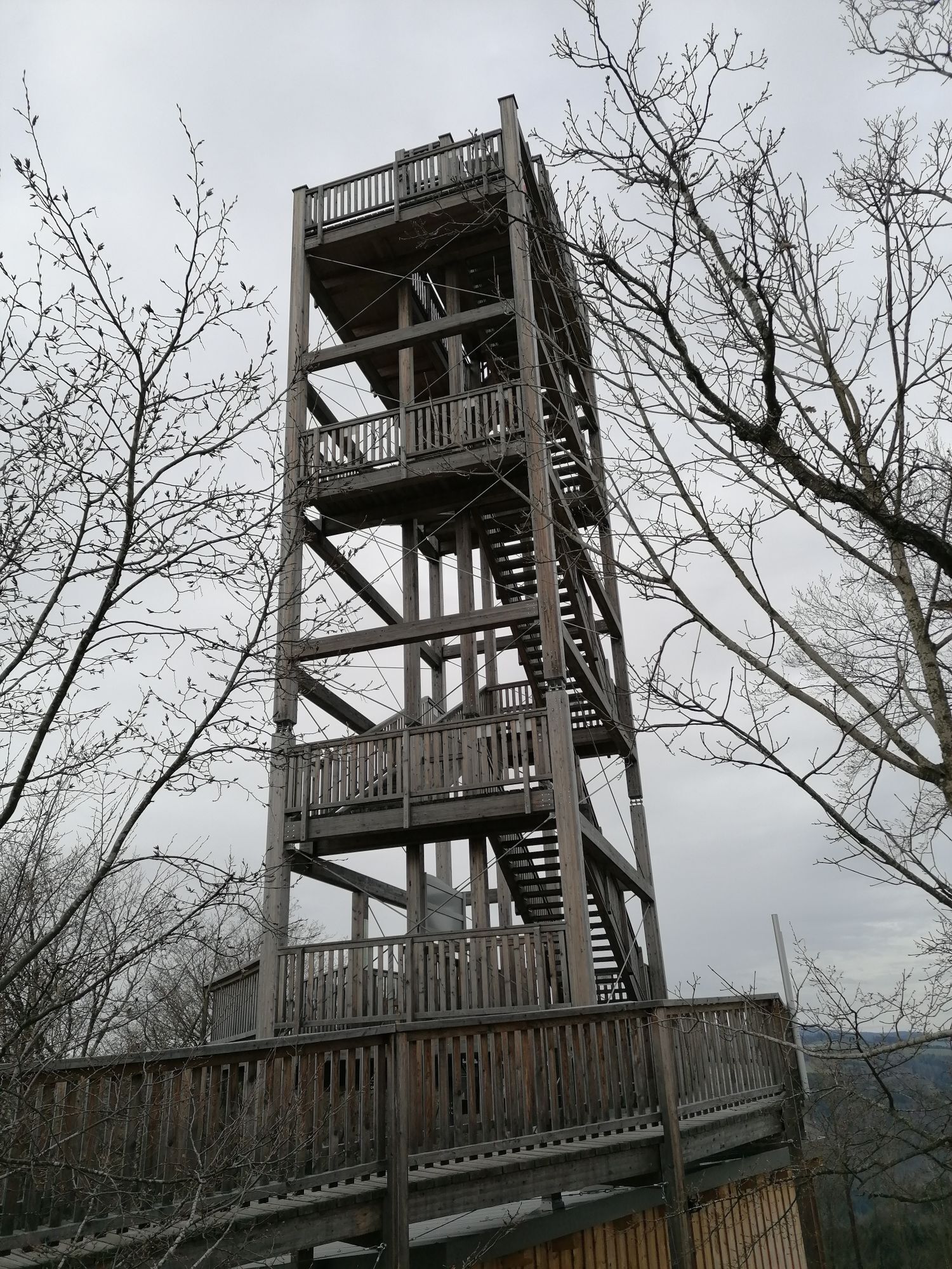

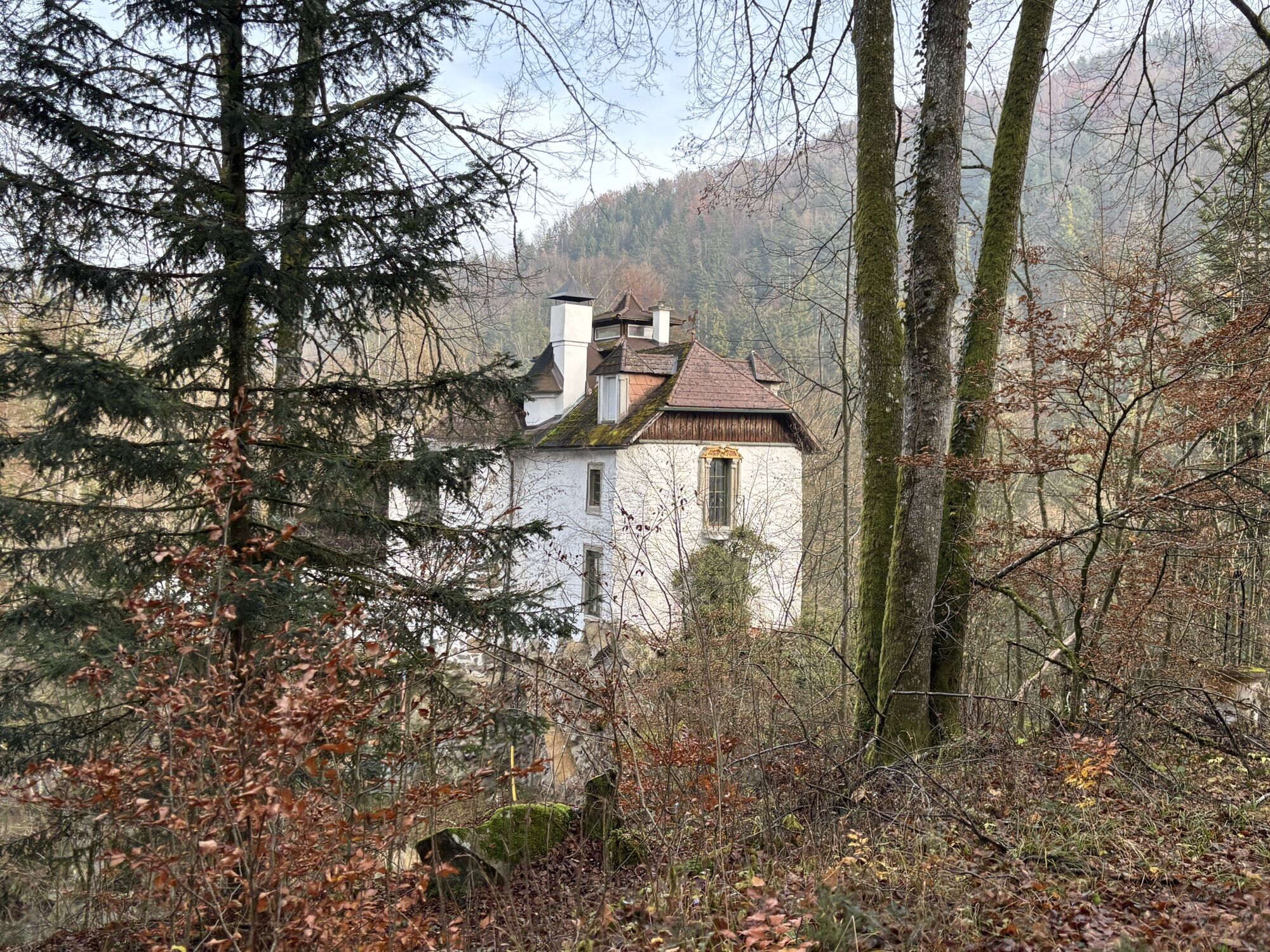
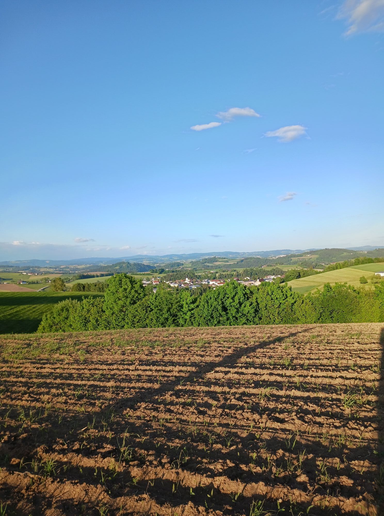
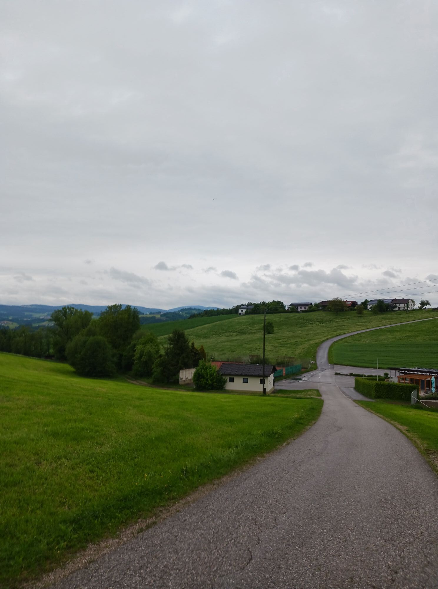
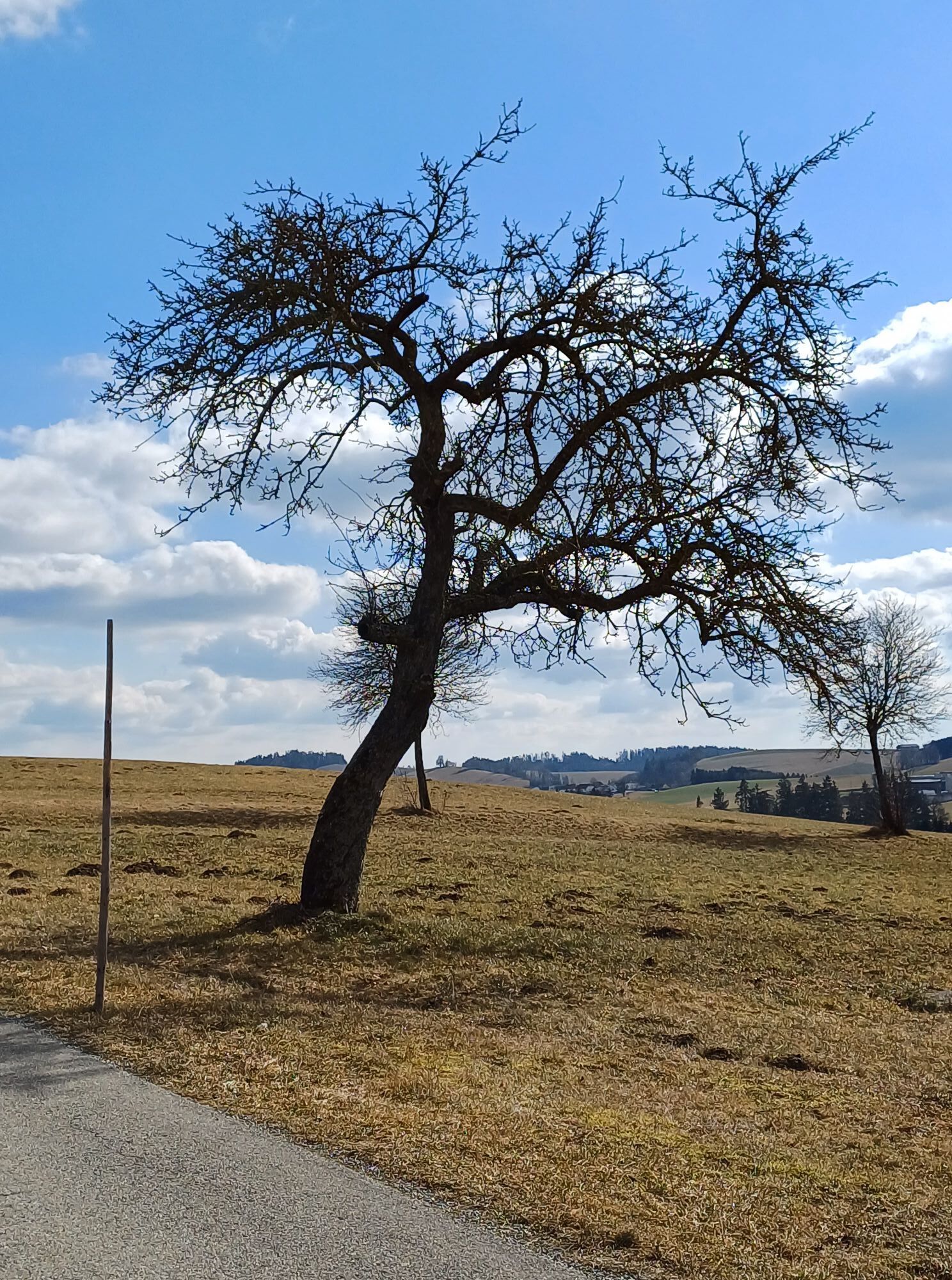
The grand finale! In the Danube port town of Untermühl begins a unique flank surfing through wonderful slope gorge forests – 3x high plateau and back. Impressive intermediate goal: the 360° panorama observation...
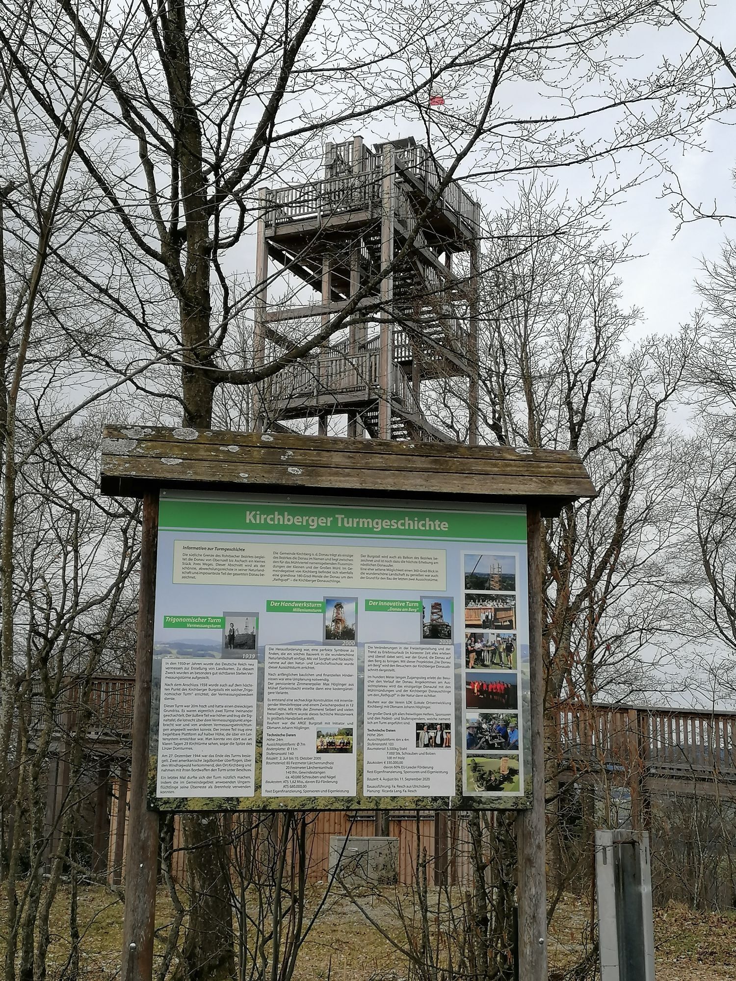
The grand finale! In the Danube port town of Untermühl begins a unique flank surfing through wonderful slope gorge forests – 3x high plateau and back. Impressive intermediate goal: the 360° panorama observation tower “Danube on the Mountain” (613 m) in Kirchberg ob der Donau. In the Kleine Mühltal follows the last flank climb and a pleasurable farewell lap over the beloved granite (high)land. Crowning finish: 7.5 km dream descent over the heart of the natural wonder Schlögen Danube loop and relaxed river biking along the Danube.
Highlights:
Danube port town Untermühl (end point of the Schwarzenberg rafting canal) Observation tower “Danube on the Mountain” (360° panoramic view, Burgstall) Obermühl on the Danube (sunken Danube village, historic salt road) Historic market Putzleinsdorf Natural wonder Schlögen Danube loop
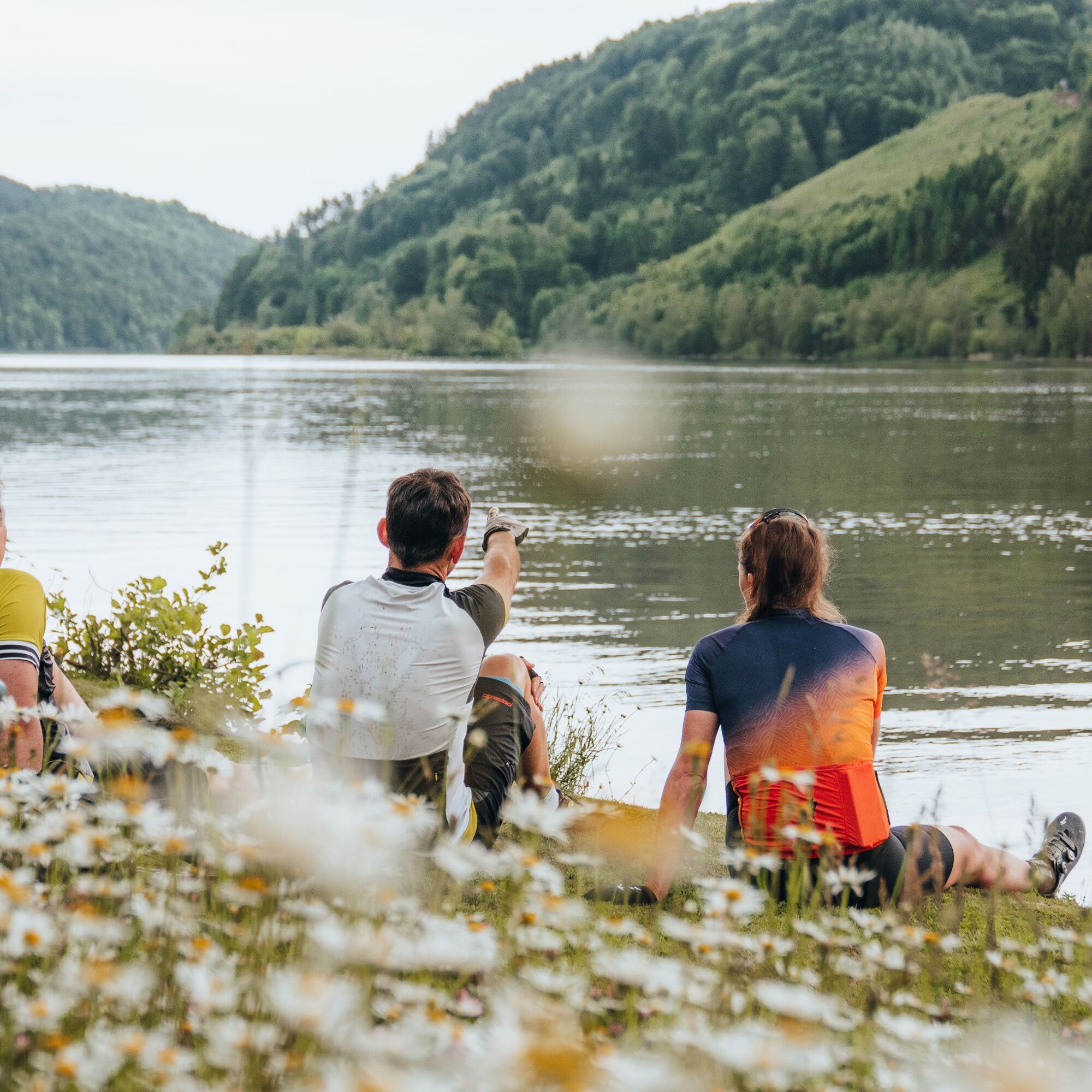
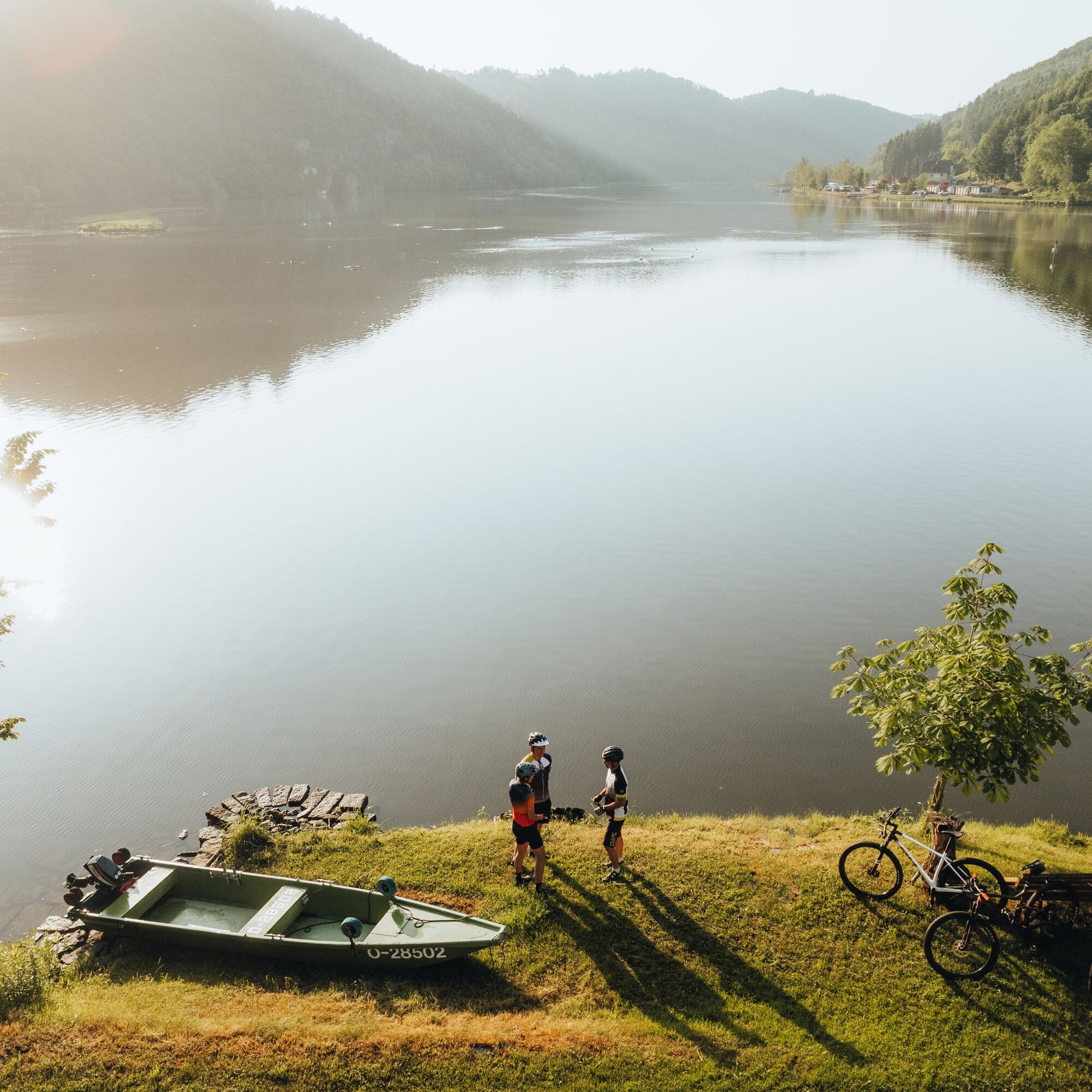
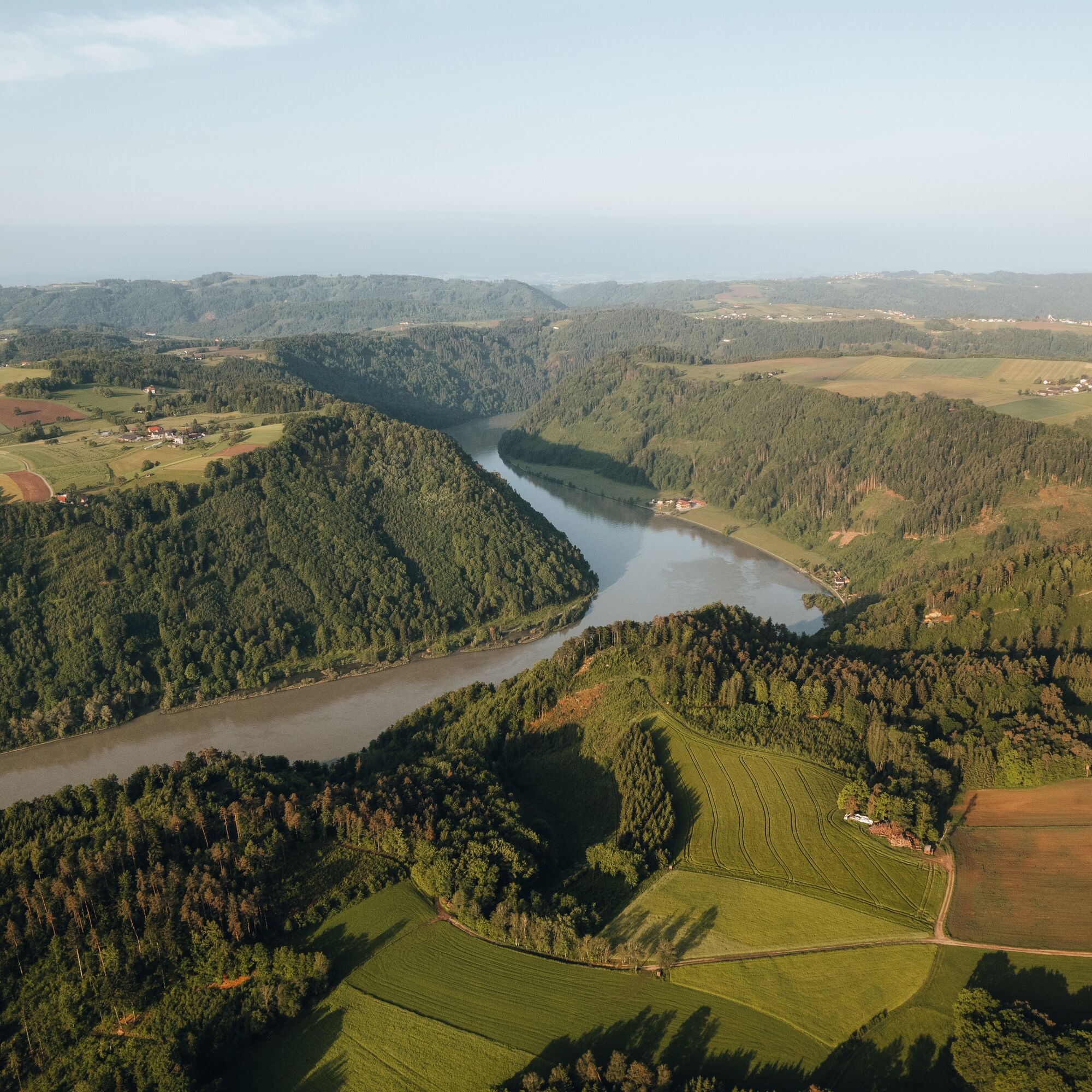
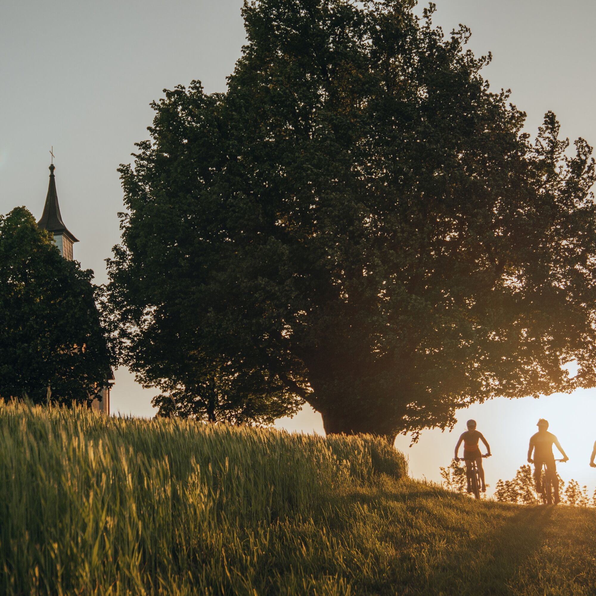
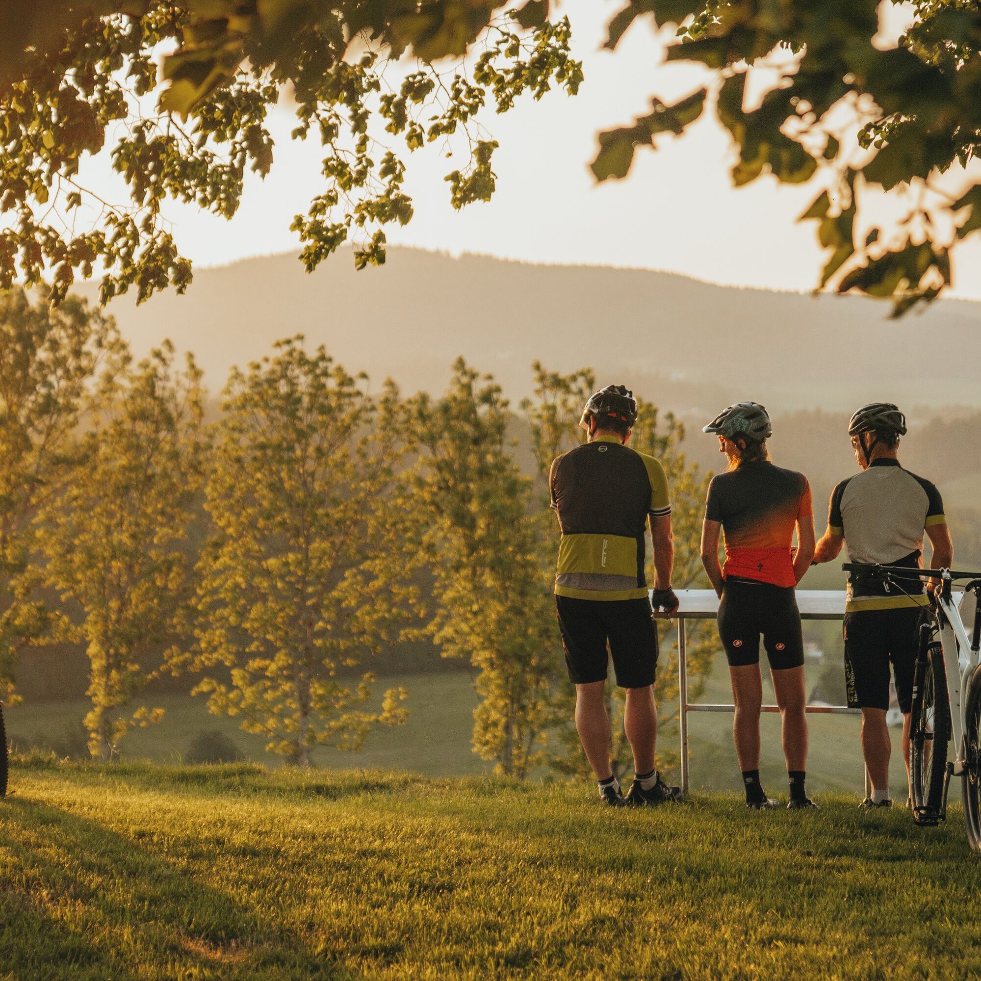
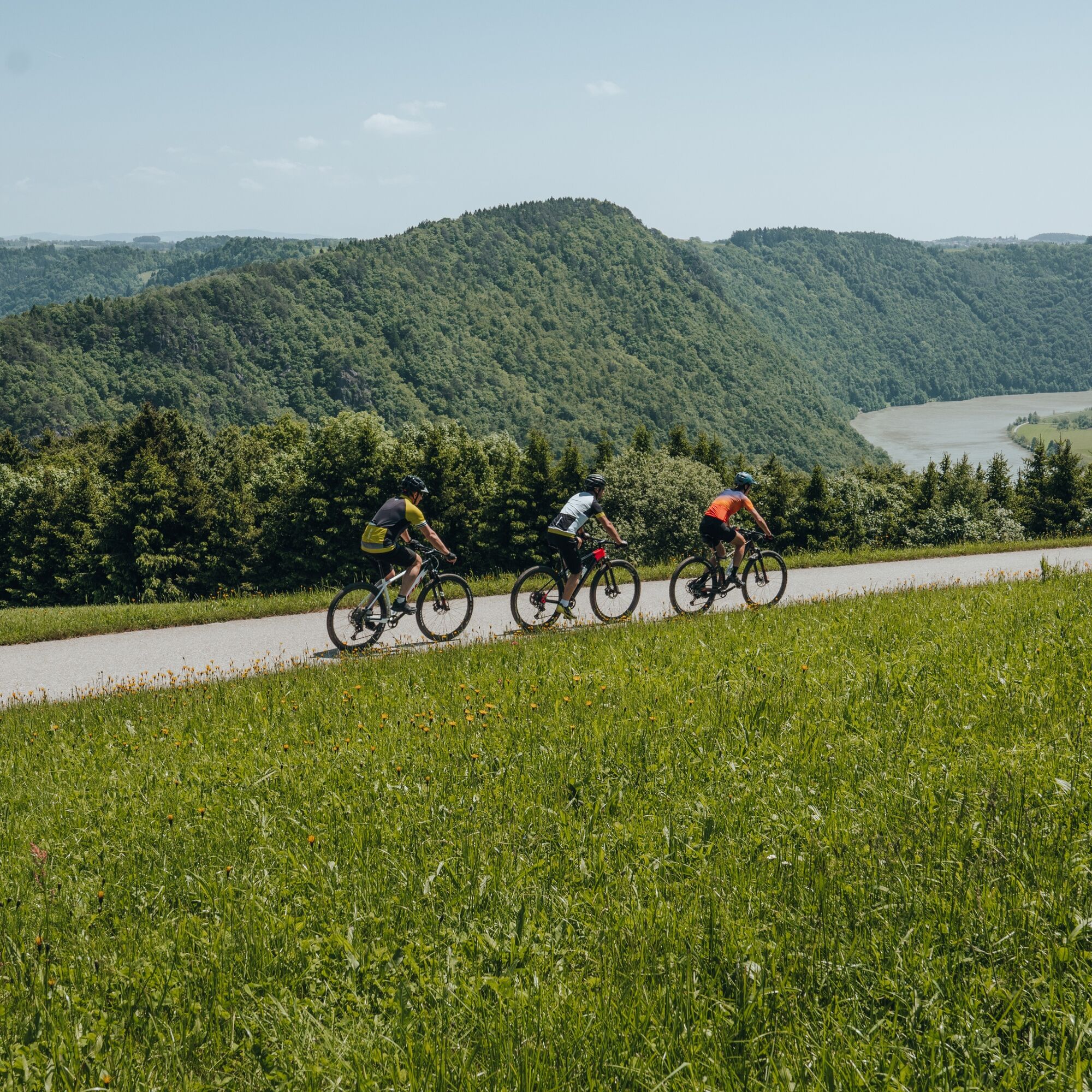
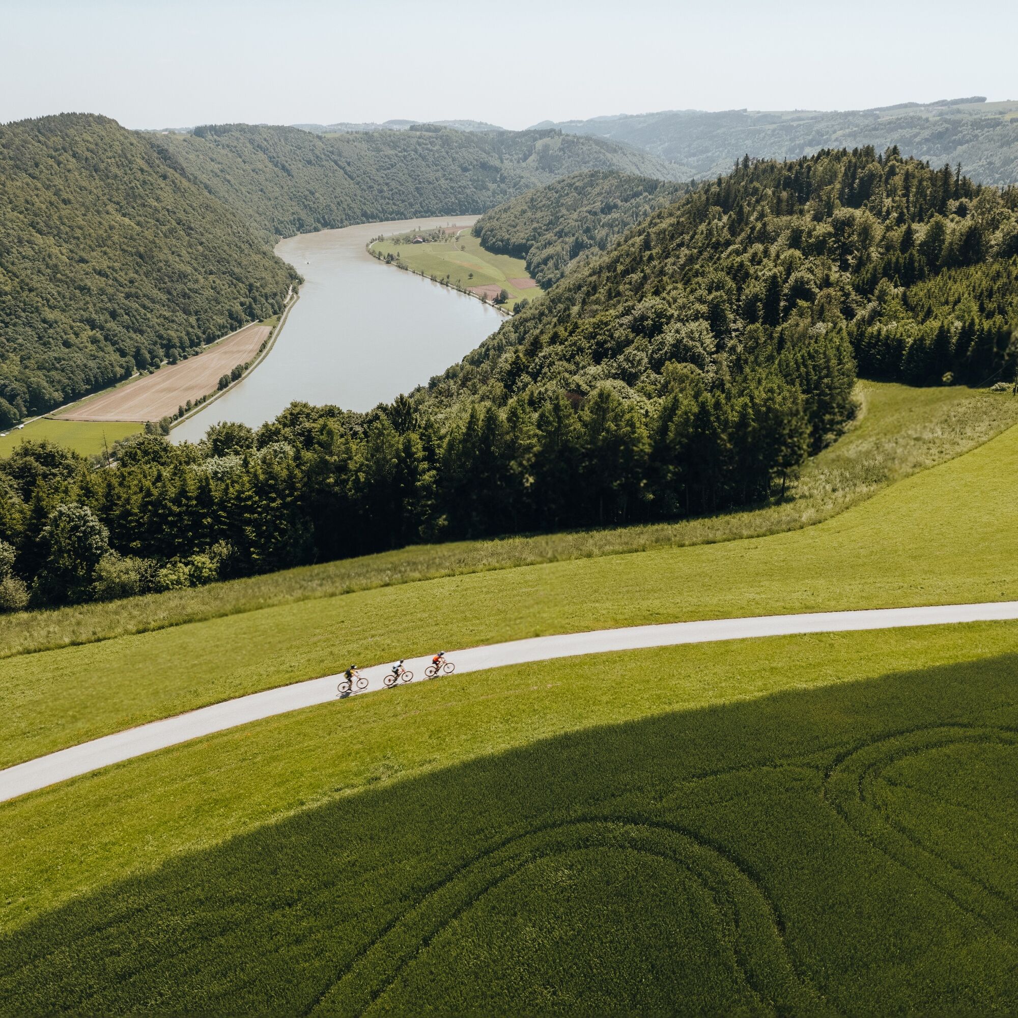
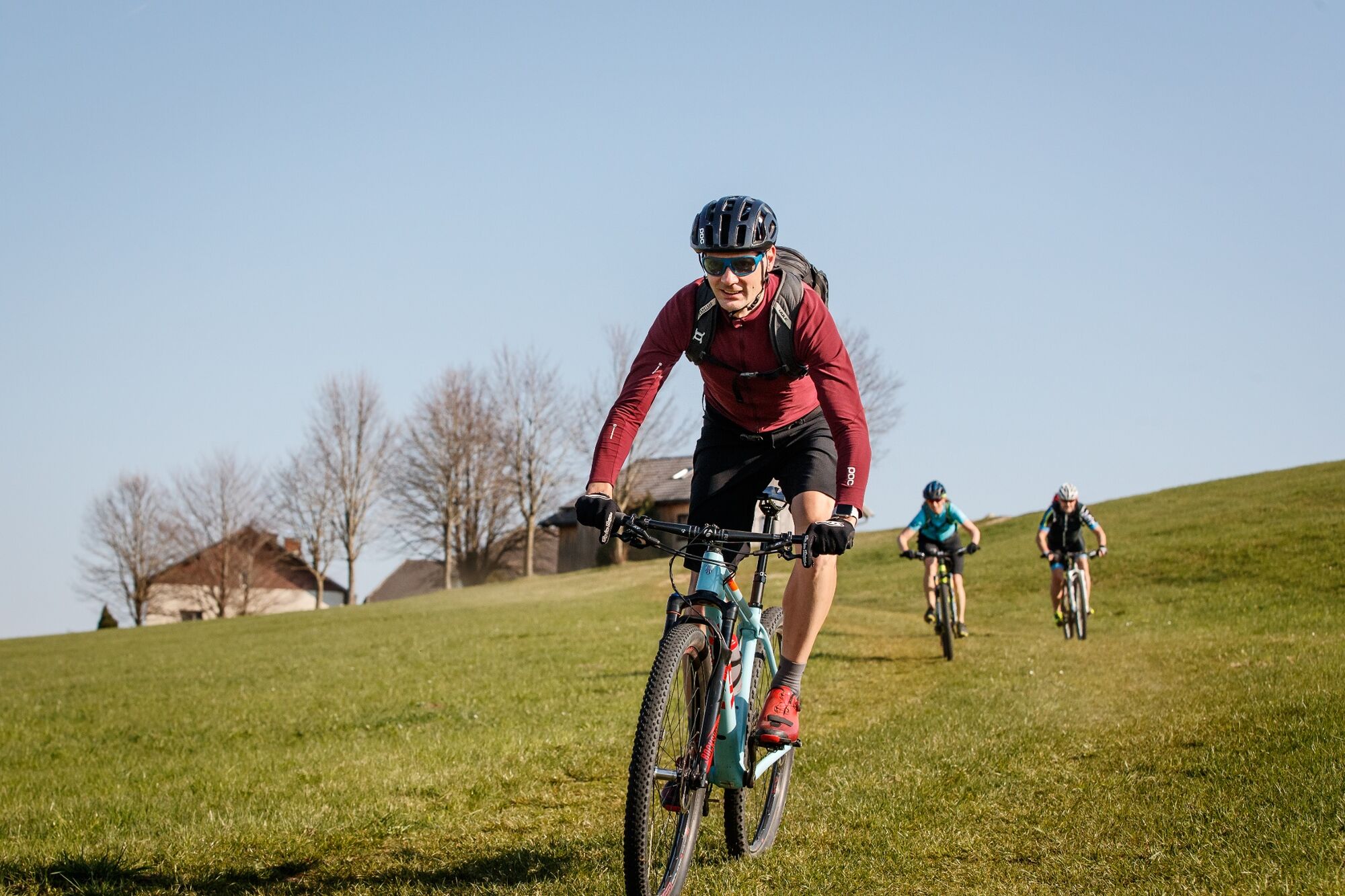
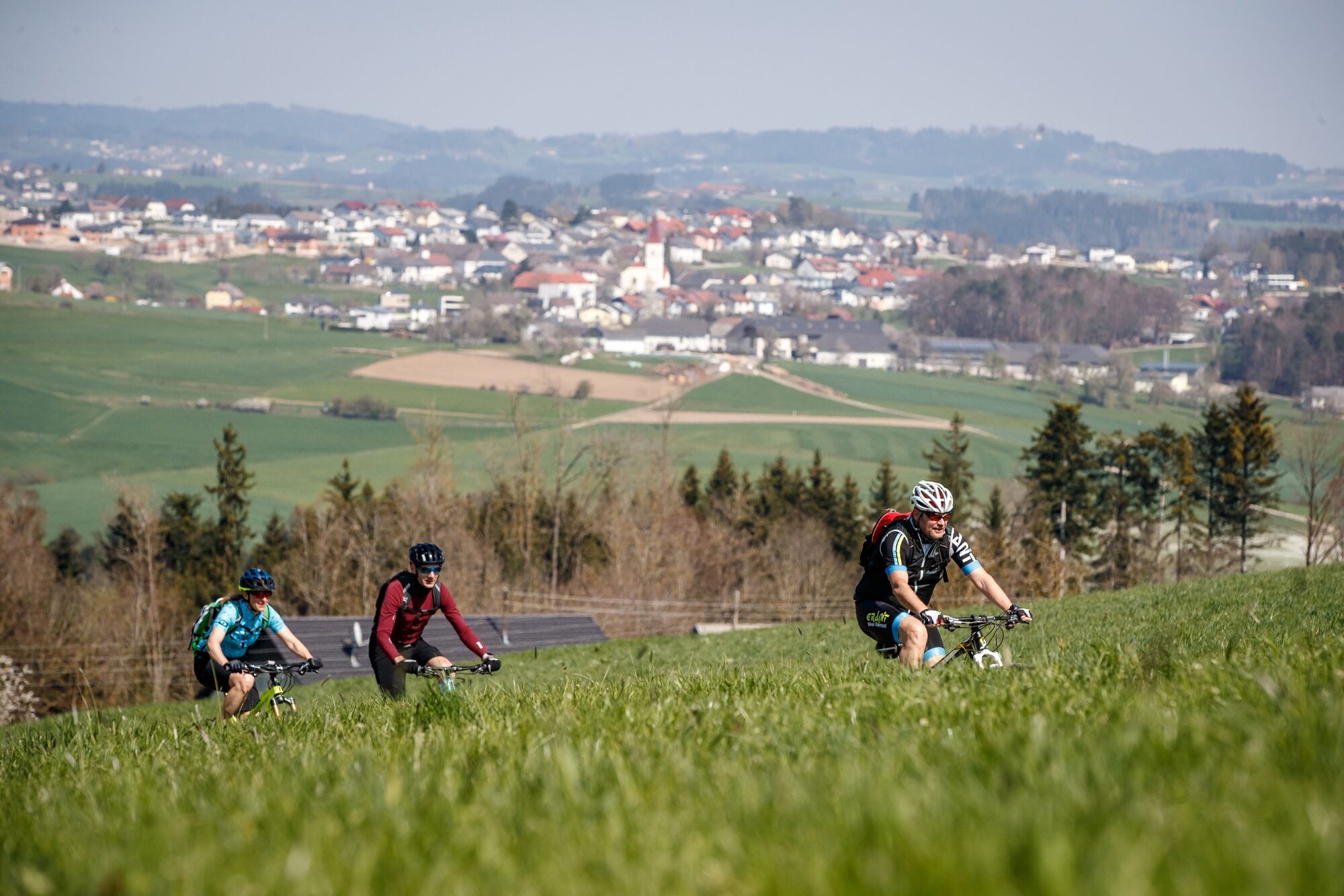
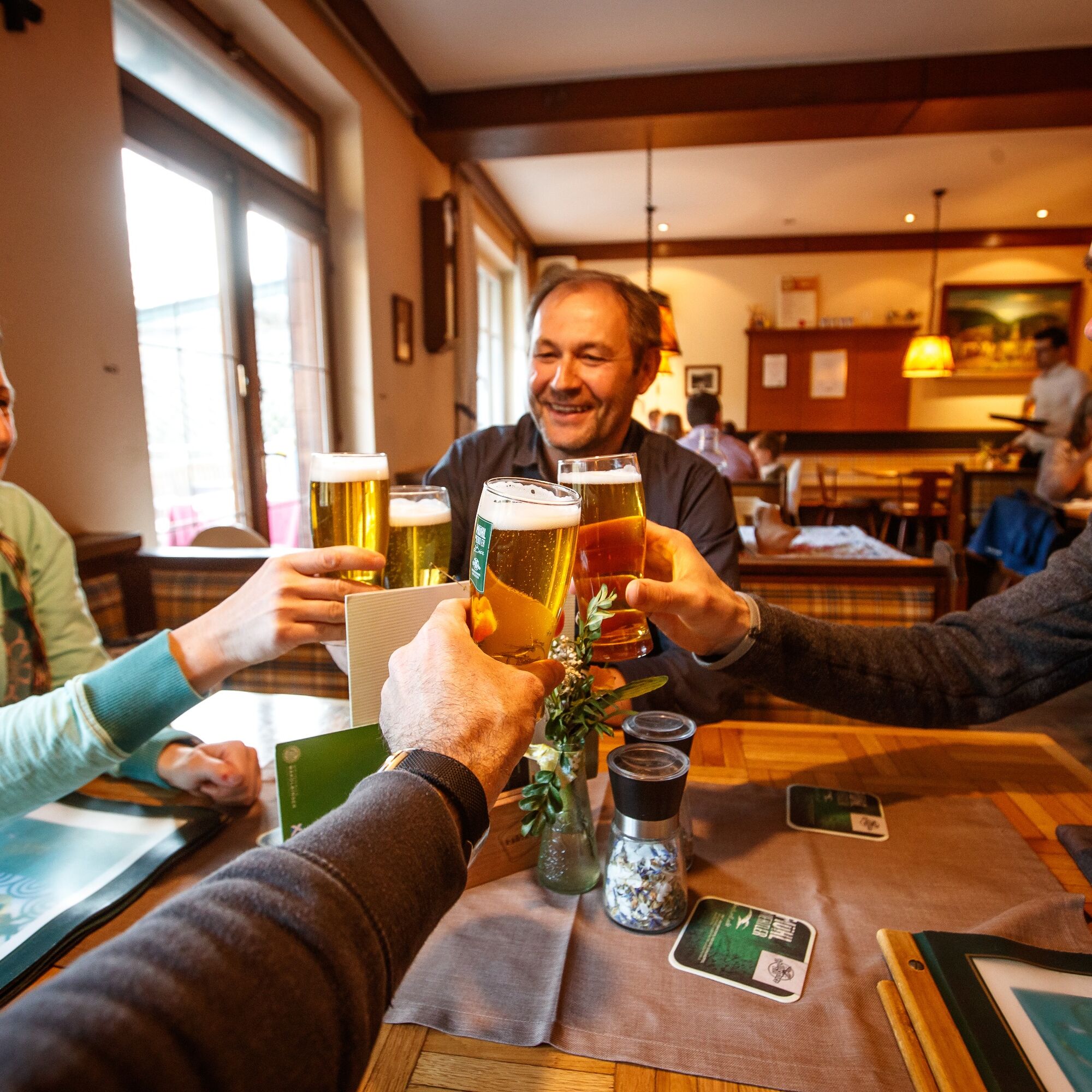

The grand finale! In the Danube port town of Untermühl begins unique flank surfing through wonderful slope gorge forests – 3x high plateau and back. Impressive intermediate goal: the 360° panorama observation tower “Danube on the Mountain” (613 m) in Kirchberg ob der Donau. In the Kleine Mühltal follows the last flank climb and a pleasurable farewell lap over the beloved granite (high)land. Crowning finish: 7.5 km dream descent over the heart of the natural wonder Schlögen Danube loop and relaxed river biking along the Danube.
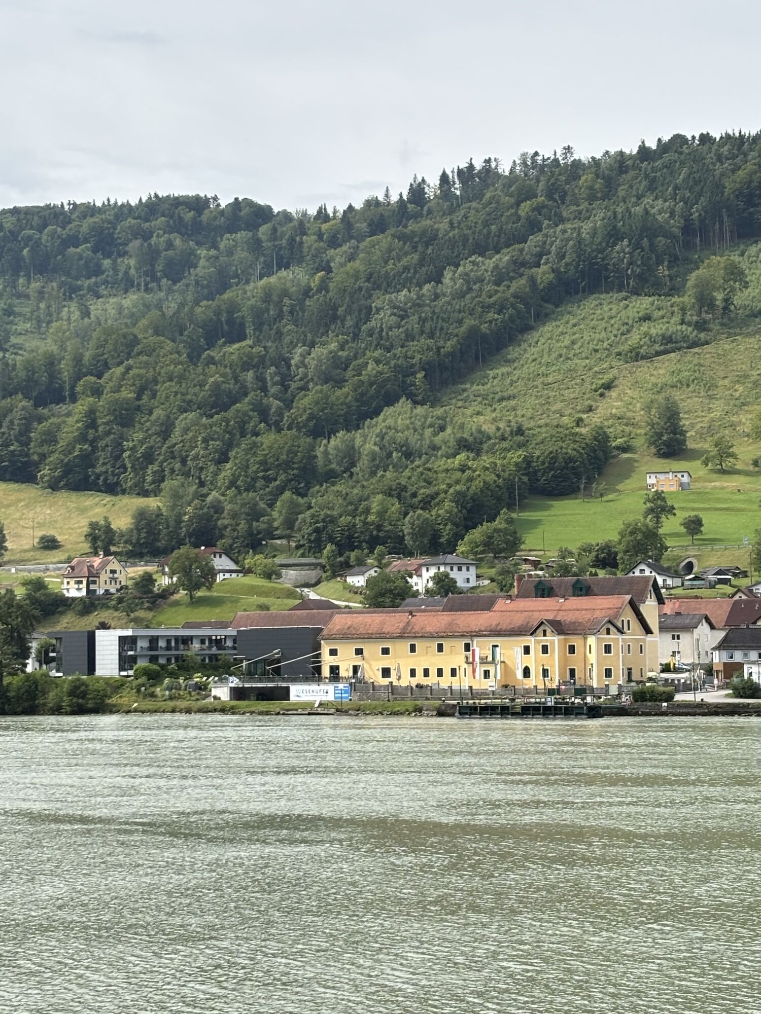
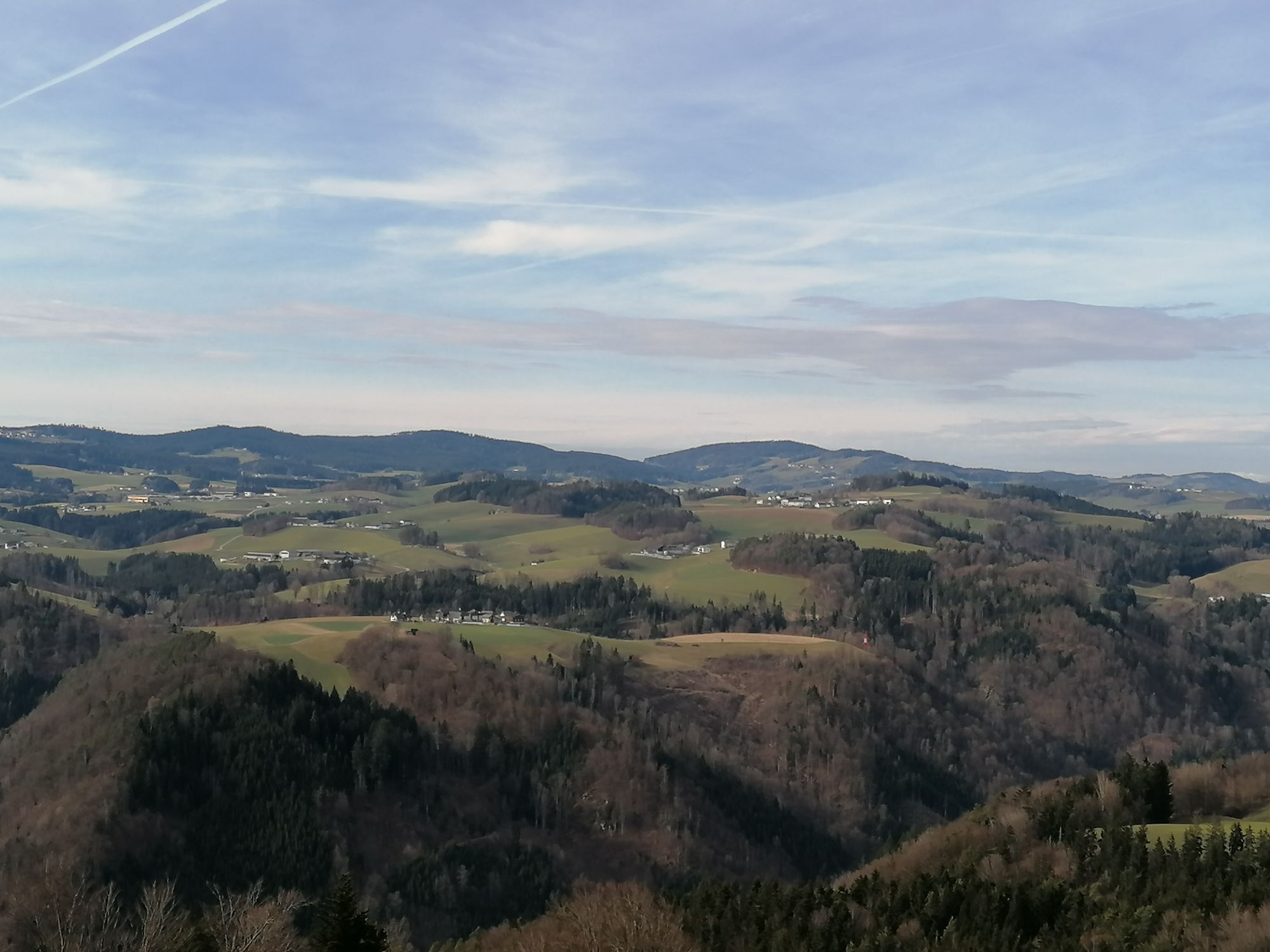
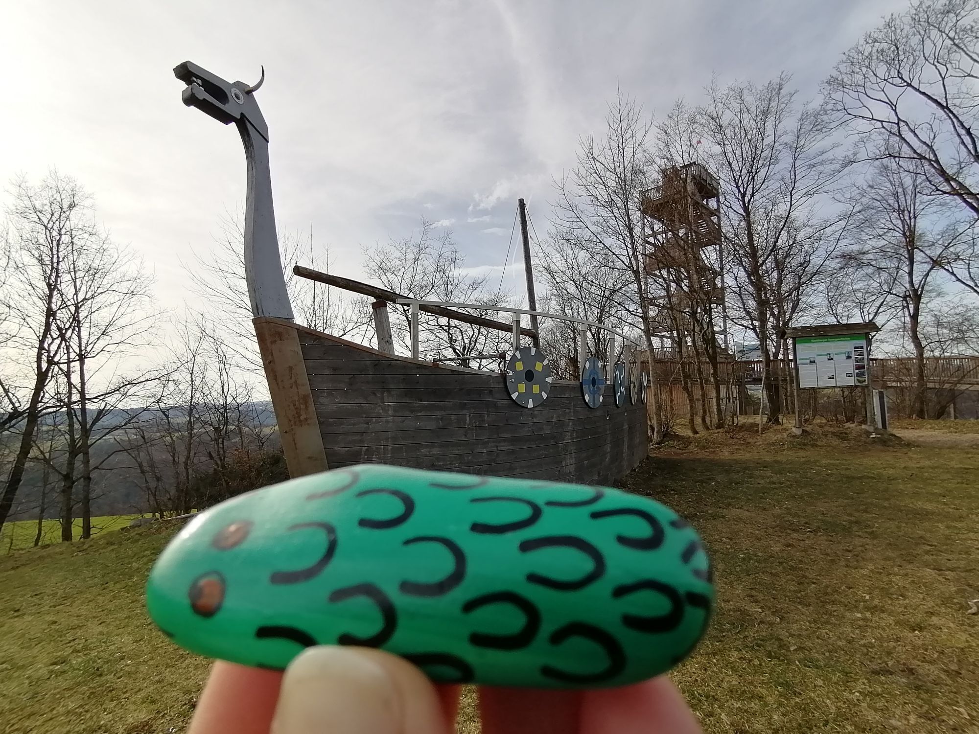
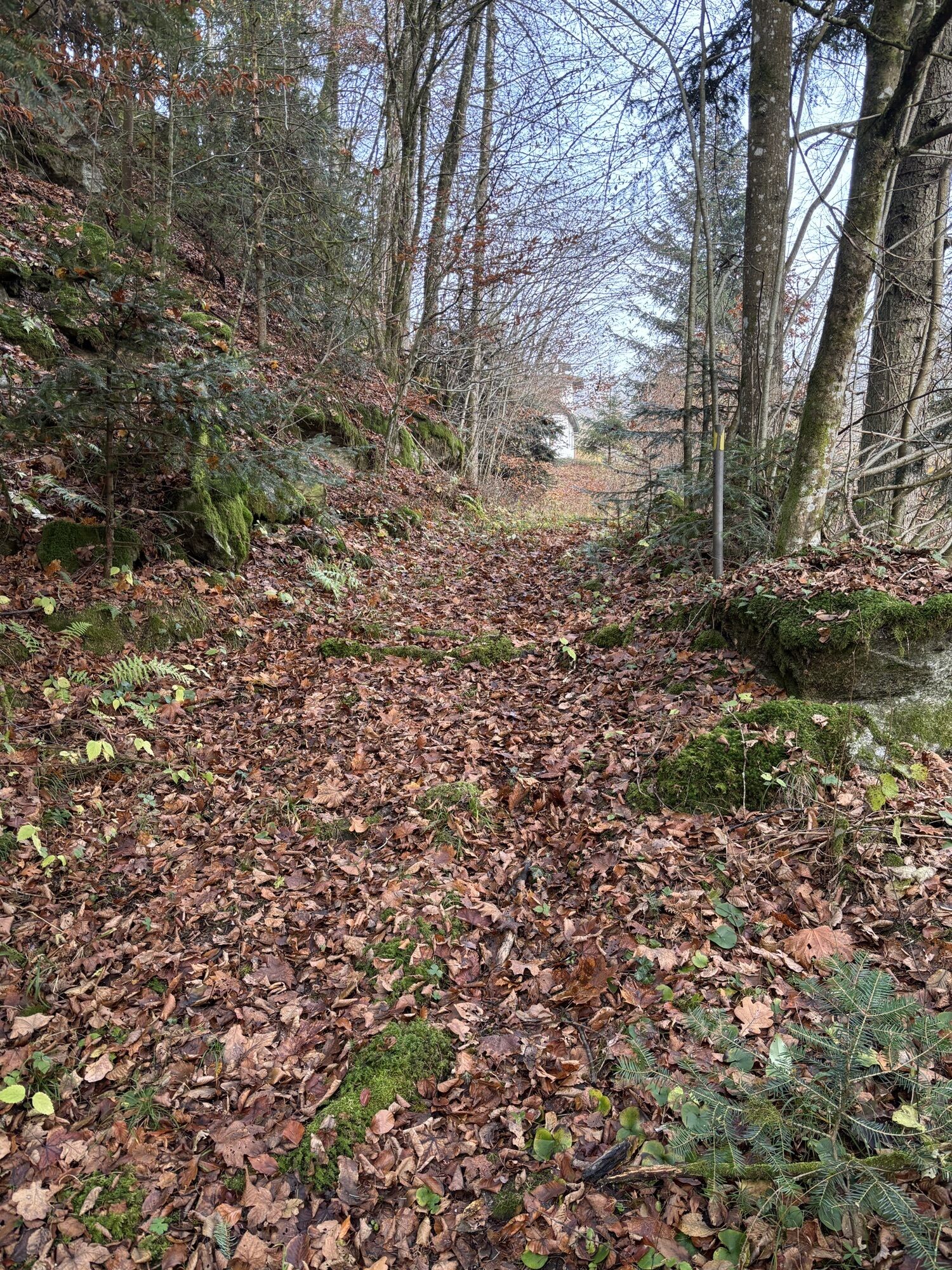
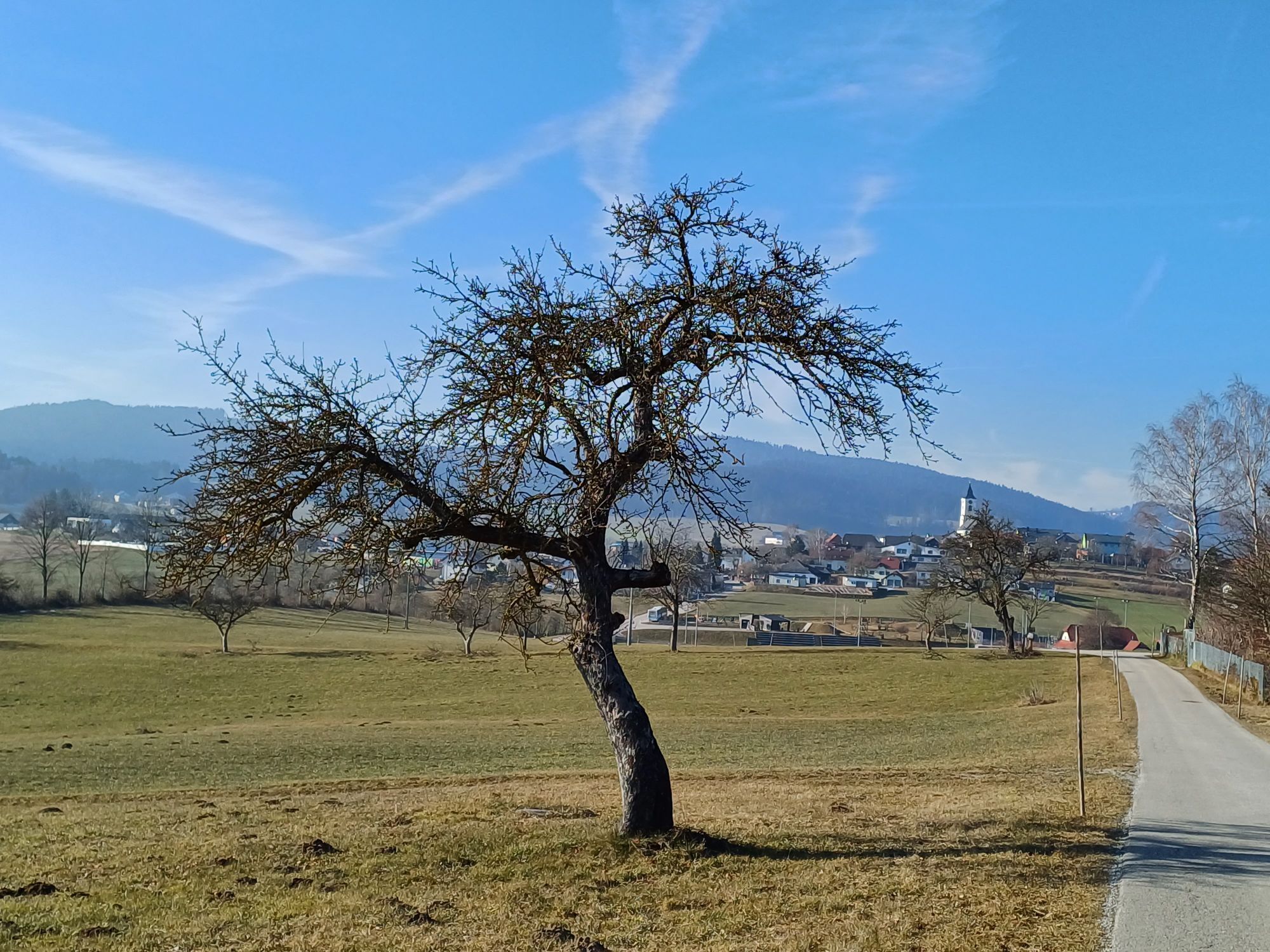
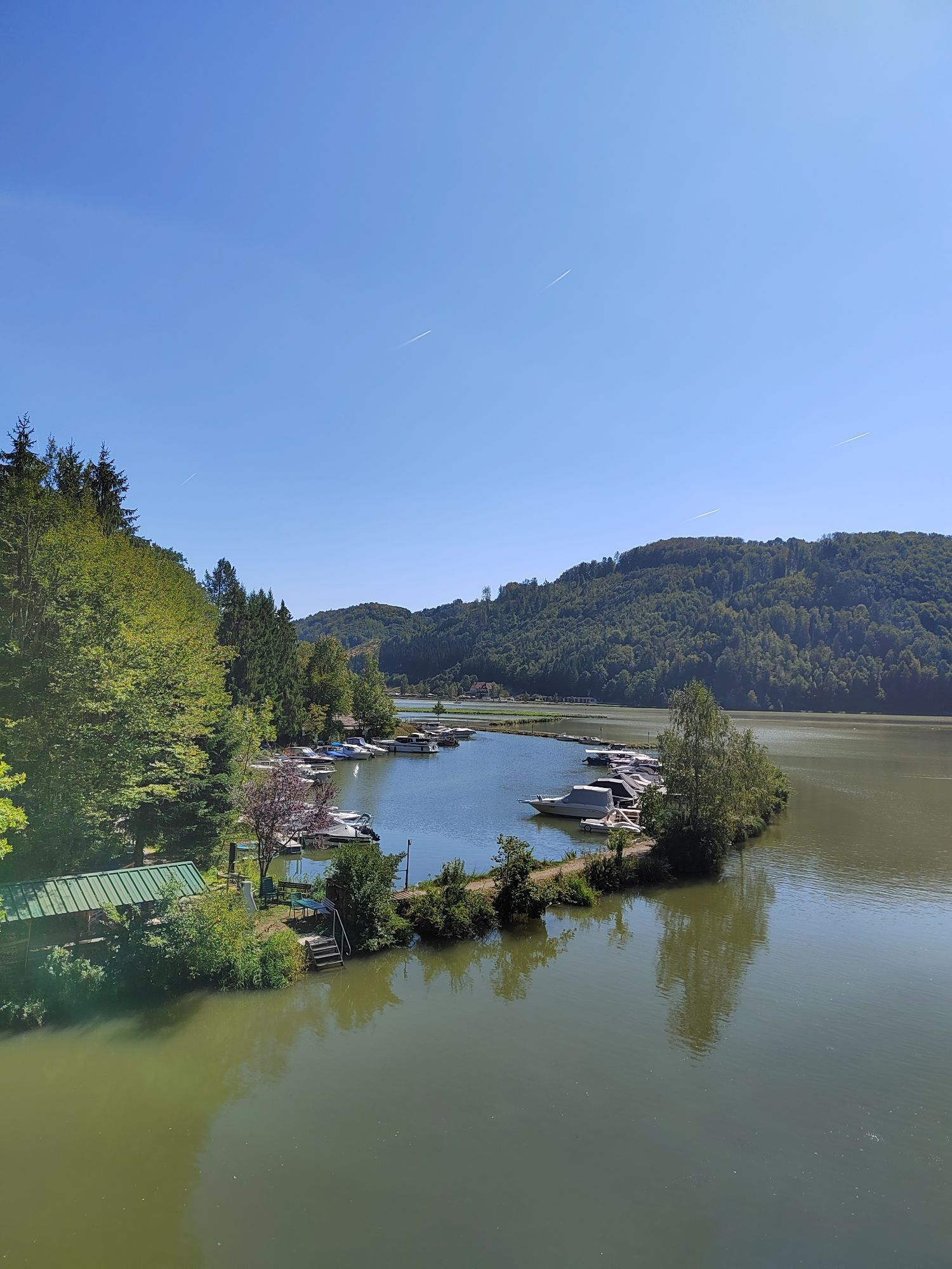
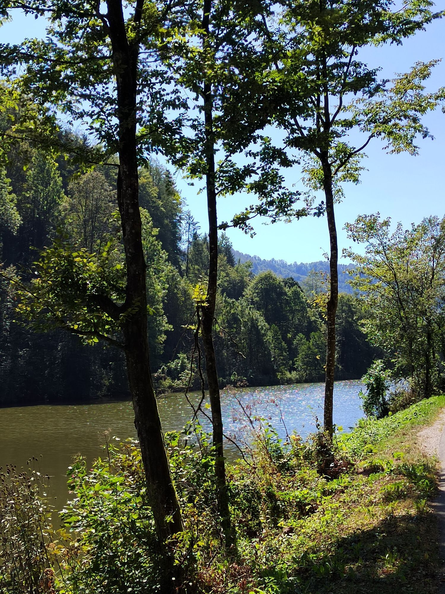
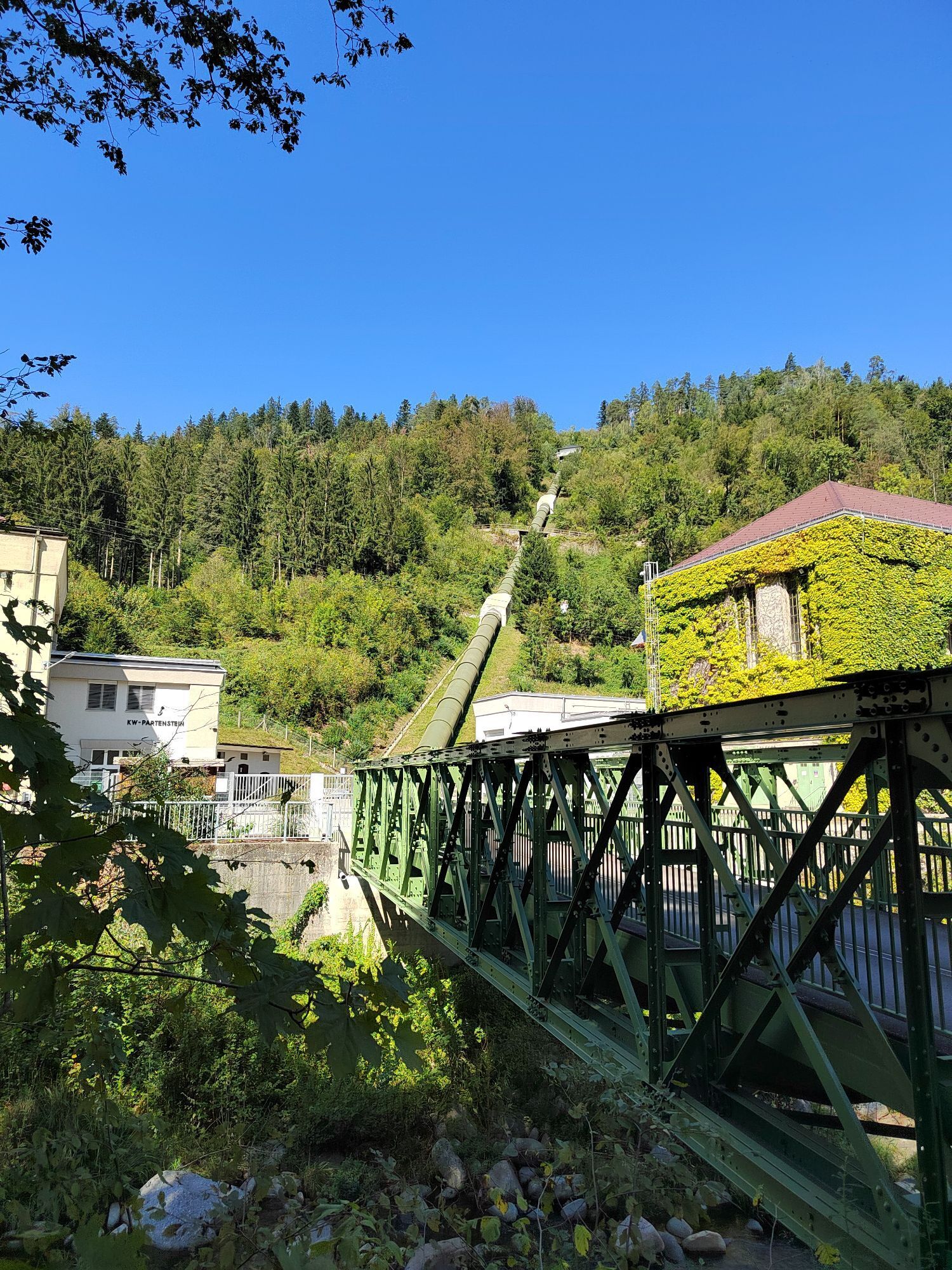
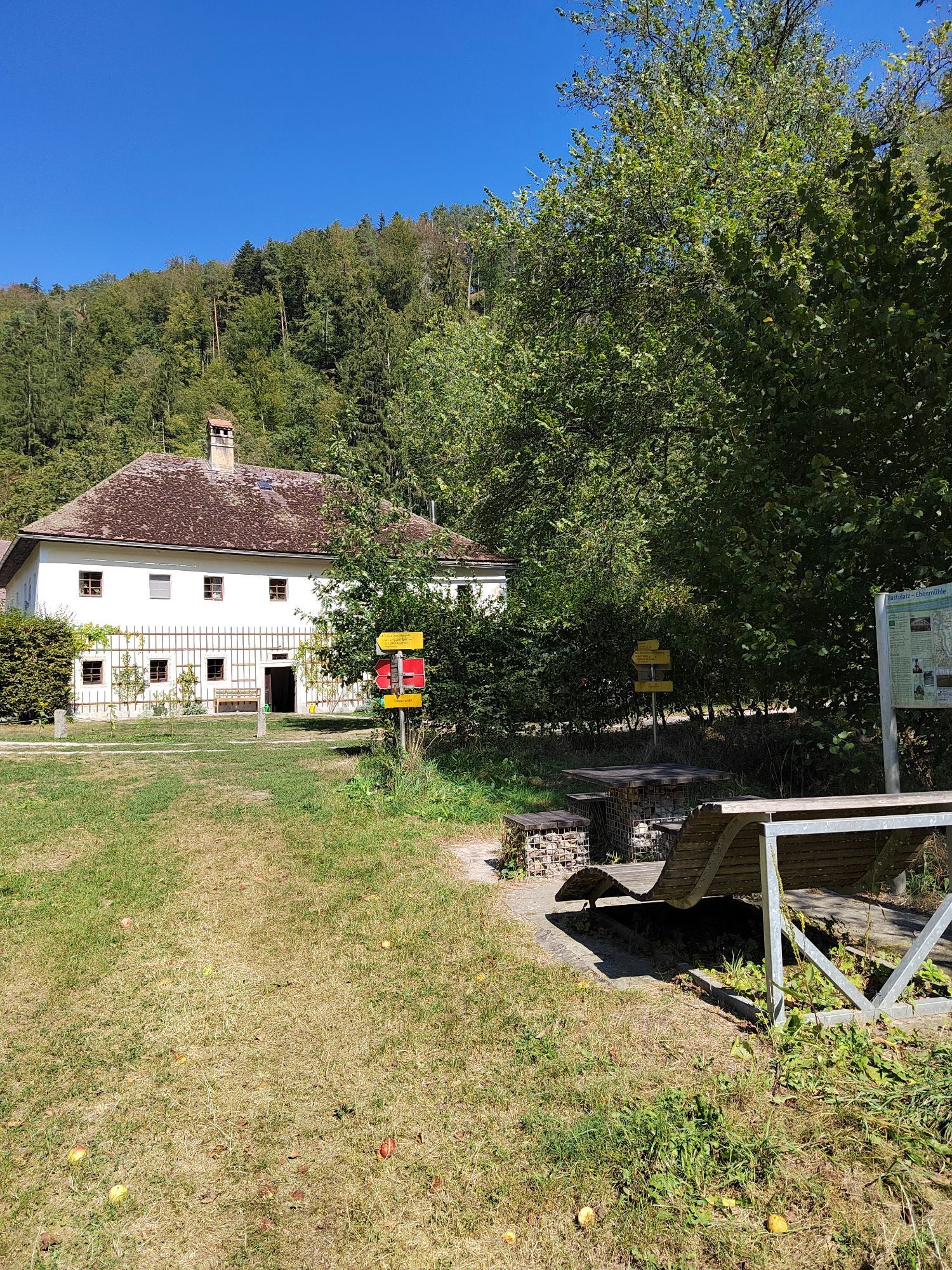
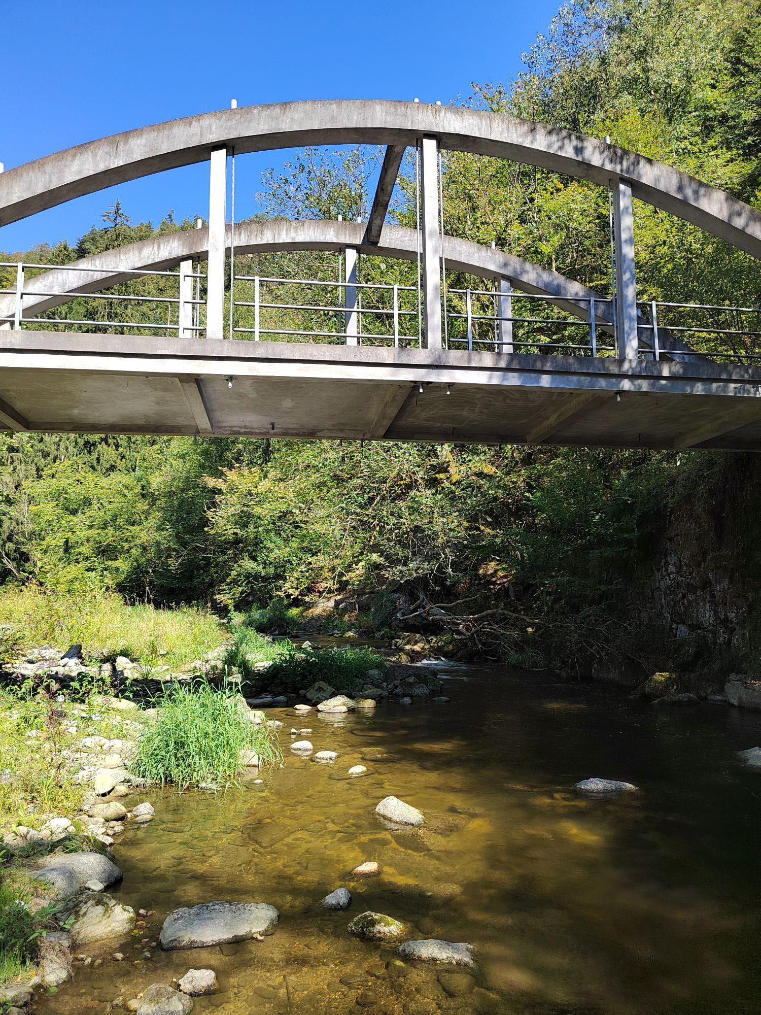
In the depths of the Upper Danube Gorge, in a secluded river section, is the current starting point – the port town Untermühl. Today inconspicuous, it was once significant: supply point for Danube shipping, end point of the Schwarzenberg rafting canal, ...! To warm up you cycle flatly into the romantic Große Mühltal to the hidden Partenstein hydroelectric power plant. Here begins unique flank surfing through wonderful slope gorge forests! The first ascent (180 meters altitude) leads along a demanding maintenance road along the power plant’s pressure pipes to the high plateau to the hamlet Ramersberg. Congratulations! Swiftly you rush down a steep forest path back into the depths of the Große Mühltal – to Ebenmühle. The second ascent (280 meters altitude) leads partly over a demanding historic driving route to the opposite high plateau. Up top, you cycle majestically through rolling farmland to Kirchberg ob der Donau to the impressive observation tower “Danube on the Mountain” (613 m). Congratulations – half time of the flank surfing! Magnificent 360° panoramic view over the Mühlviertel, the Danube valley, the Sauwald, ... right to the Alps. Pure freedom! By the way, here you stand on the highest elevation that rises directly from the Danube stream. The bike flows briefly further to the edge into the Danube gorge, then the intense steep descent through the Danube valley slope on partly trail-like forest paths demands full concentration. For welcome regeneration, relaxed river cruising along the Danube to Obermühl an der Donau. Attentive bikers will notice the contrast between the historic grain storage at the village entrance and the contemporary architecture of the rest of the village. The reason: the historic village center sank in the floods of the Danube diversion for the Aschach power plant. At the modern “Gold” church starts the third ascent (260 meters altitude). An abandoned stone road leads briskly through the steep Kleine Mühltal slope – the old salt road. Once the salt of the legendary Salzkammergut was transported by ship to Obermühl and muleteers brought it to Bohemia. For bike philosophers: “Today, our jerseys are soaked with salt.” At the high plateau with the hamlet Untered, the turnaround point is reached. Congratulations! A short regenerative cultural ride and on demanding paths the steep valley slope back into the depths of the Kleine Mühltal – to the Bruckwirt. The last flank ascent (170 meters altitude) leads initially steeply through shady mixed forest on the route of the old (stone) road, above more leisurely through the settlement area to Lembach im Mühlkreis (552 m). Congratulations! Now begins a wonderful farewell lap over the beloved granite (high)land: majestic sea of hills, beautiful long-distance views, mosaic of meadows, fields, and small woods, scattered hamlets, ... harmony perfected! You cycle enjoyably over two panoramic hills in a wide loop to the historic market Putzleinsdorf, the northern end of this stage! On the way back to the Danube, the terrain becomes hillier again and the route approaches the edge of the (rump) mountain range. At the hamlet Starnberg (690 m) you stand at the highest point of this stage! Congratulations! The 7.5 km long descent into the Danube valley is a dream: short forest sections, small farm plateaus, asphalt curves, ... up to the roof of the famous natural wonder Schlögen Danube loop! The deeply incised mythical river Danube here changes its direction twice by 180° within a few kilometers. The last part – the descent through the nature-protected slope gorge forest of the steep Danube valley slope – fascinates with trail character.
During the leisurely cooldown ride along the Danube to the starting point of the round, sure “Bikers Heaven” is a thought that crosses the mind. Or simply granite (high)land biking.
Áno
How to get to the Upper Austria Danube region?
The fast way to the destination – by train, bus, car, ship, or airplane.
Získajte prehľad
Vždy naživo na mieste s viac ako 9 500 webovými kamerami. bergfex Ako používateľ Pro si teraz môžete pozrieť príslušné webové kamery pre mnohé zájazdy v aplikácii zájazdy z. Môžete si tak priamo prezerať aktuálne podmienky.
Obľúbené výlety v okolí
-
4,5
Haibach: CICONIA circular route
strednáTuristika 11,2 km -
4,8
Hofkirchen: Waterfall round
strednáTuristika 8,43 km -
3,8
Waldkirchen: 4/4 View Round | Large Danube Resonance Path Round
strednáTuristika 12,9 km -
4,5
Rannastausee
svetloTuristika 9,03 km -
4,5
Rannatalweg
strednáTuristika 10,7 km -
5,0
Kneipp,- Fitnessweg im Rannatal
svetloTuristika 3,79 km -
4,0
R1.05 Sauwald Panorama Route
strednáCyklistika 57,8 km -
4,5
Schlögen - Hauskapelle Hotel Donauschlinge - Schlögener Blick
svetloTuristika 1,48 km -
4,6
St. Agatha: It must be - Trail
strednáTuristika 20,7 km -
4,7
Burgruine Stauf
Turistika 4,67 km

Turistika a stopovanie


Nenechajte si ujsť ponuky a inšpiráciu na ďalšiu dovolenku
Vaša e-mailová adresa bol pridaný do poštového zoznamu.





