






MTB - Danube-GIS-Route
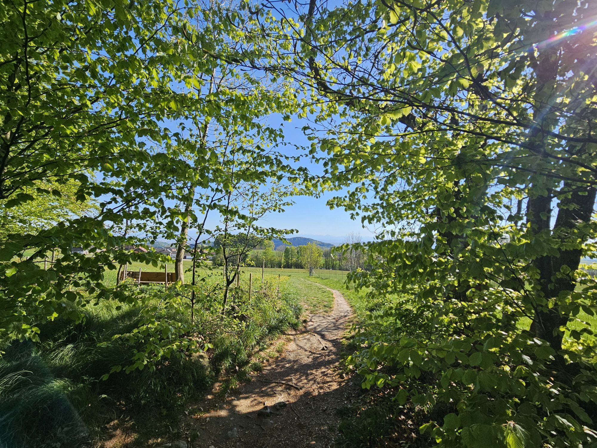
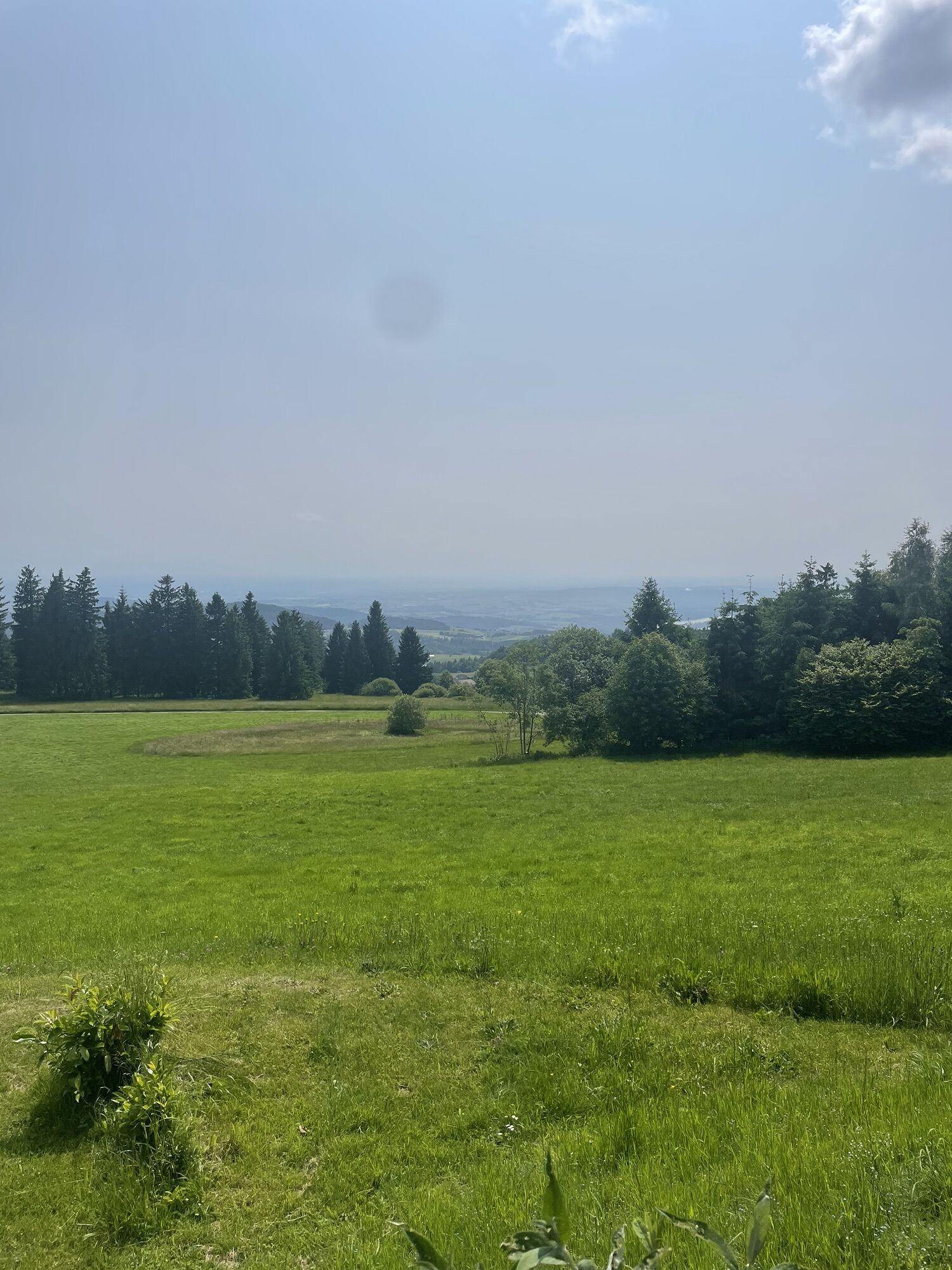
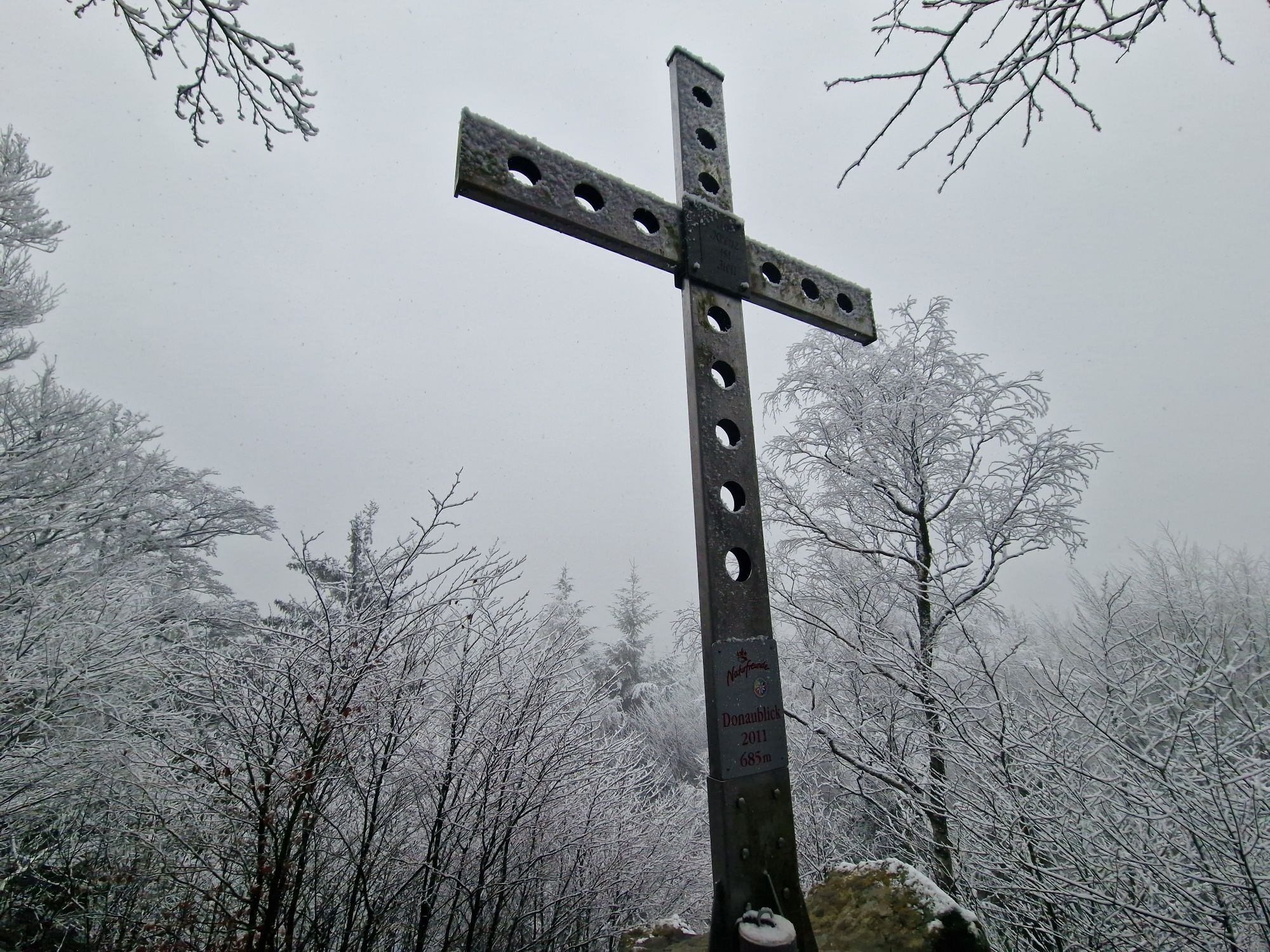
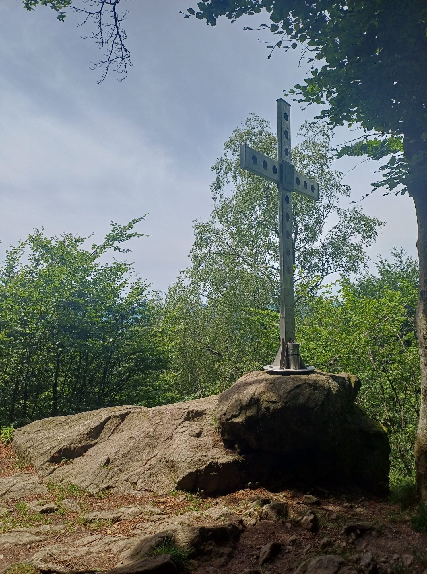
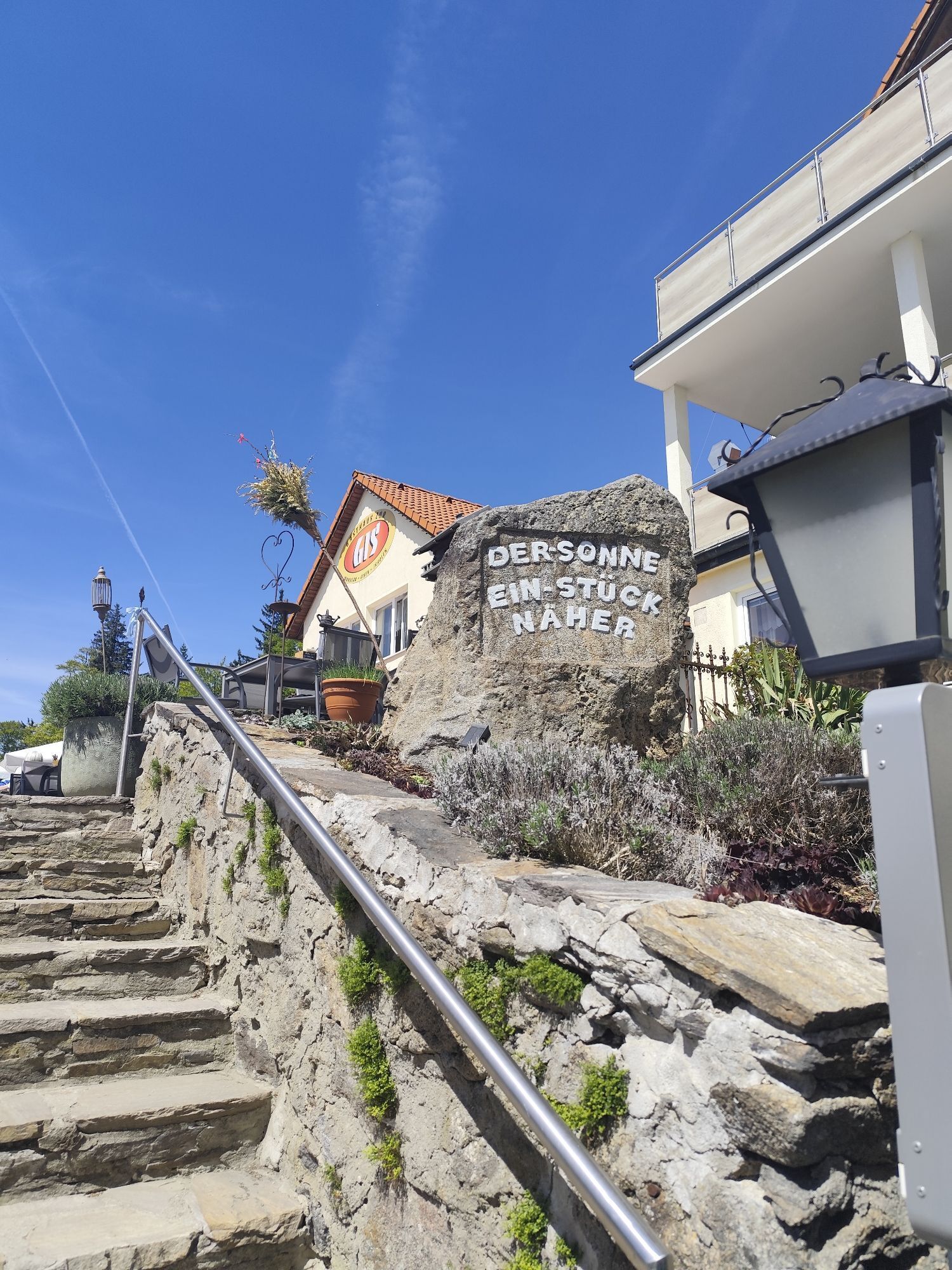
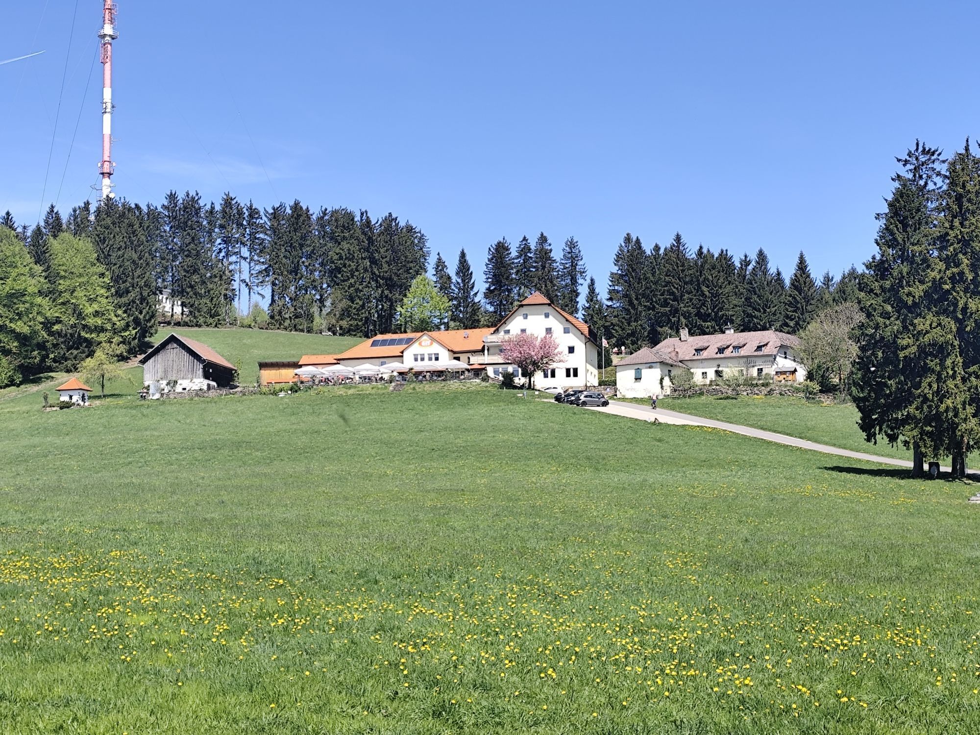
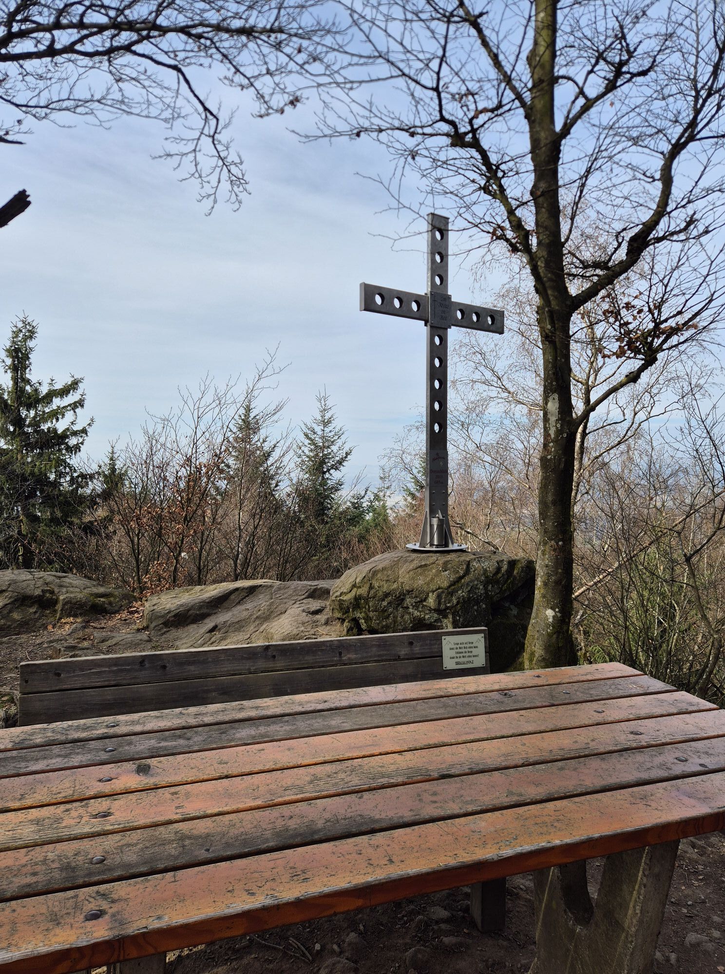
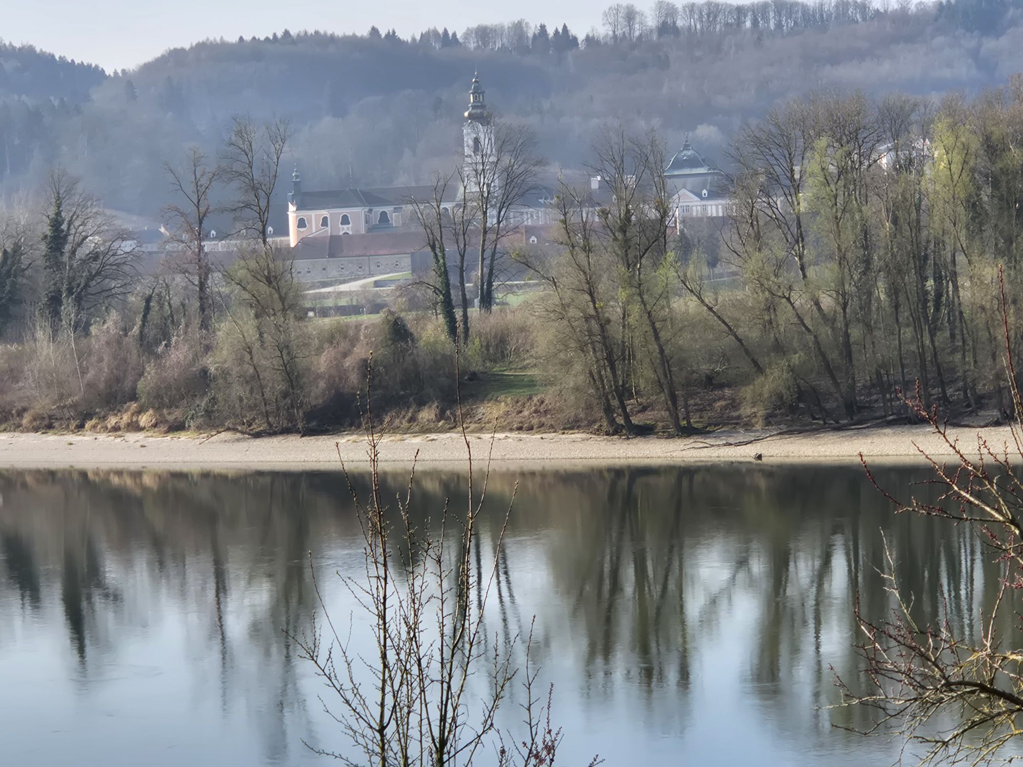
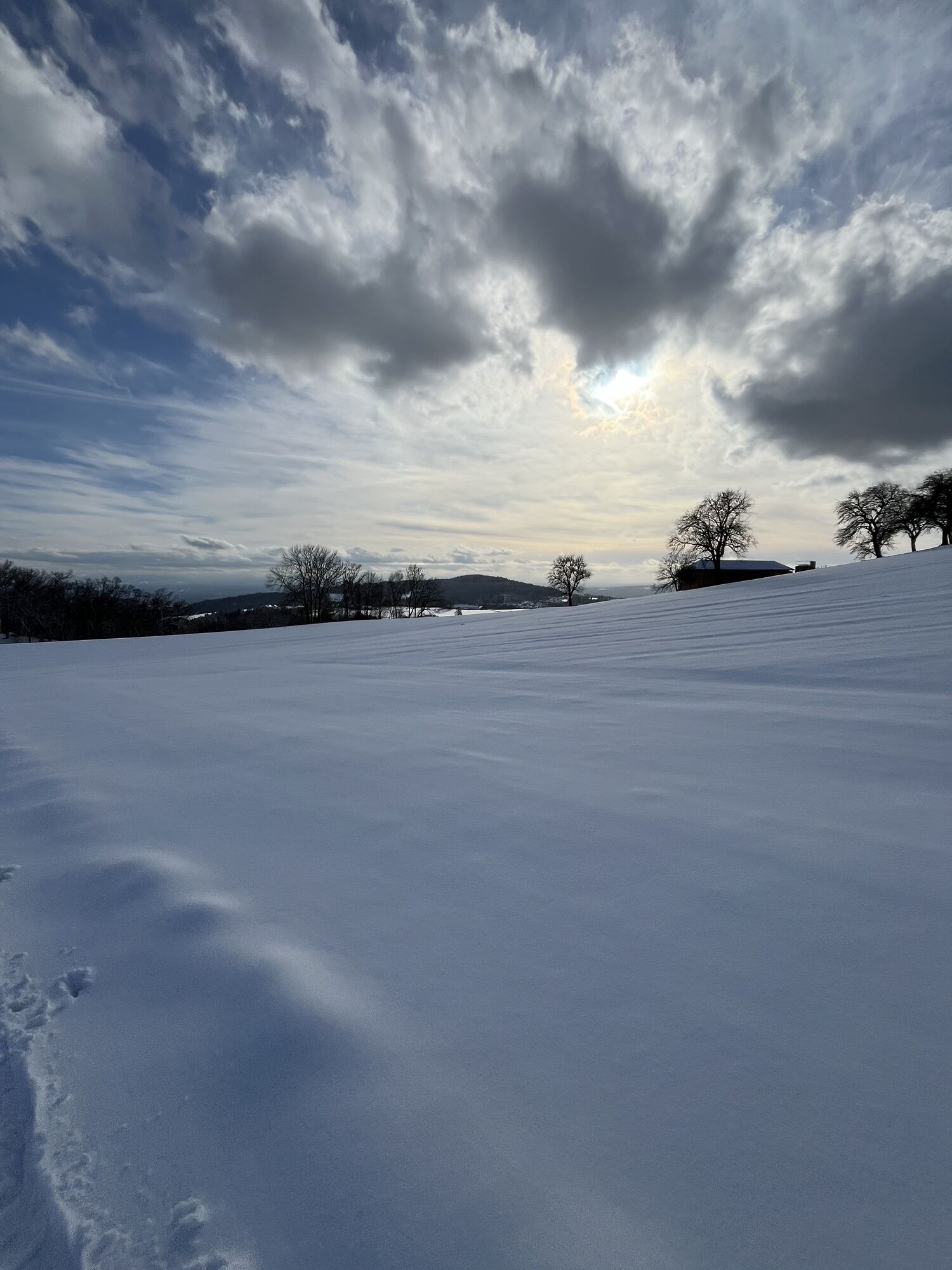
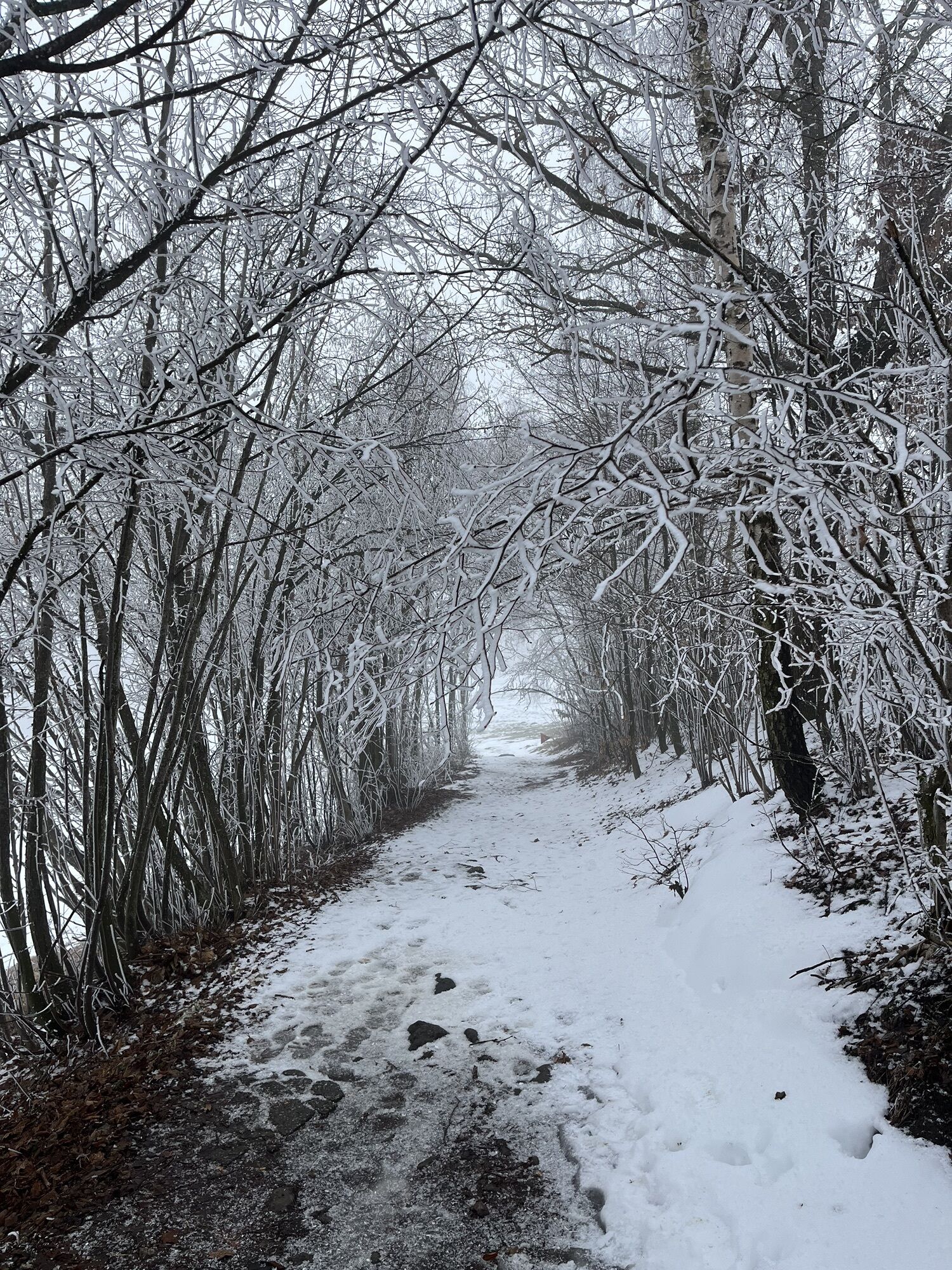
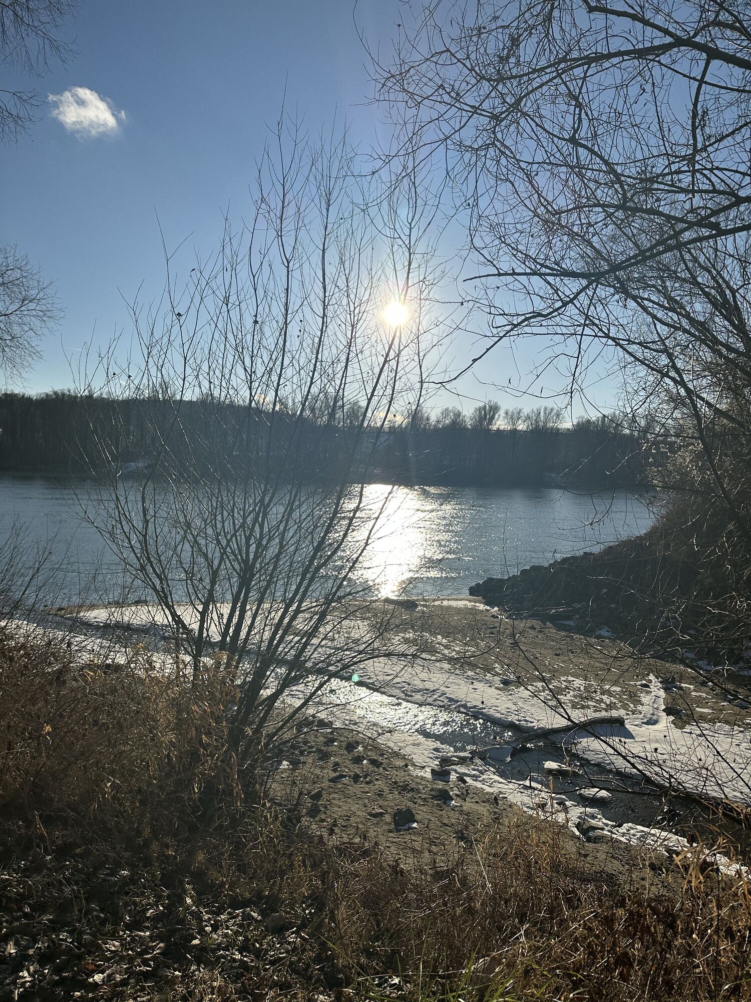
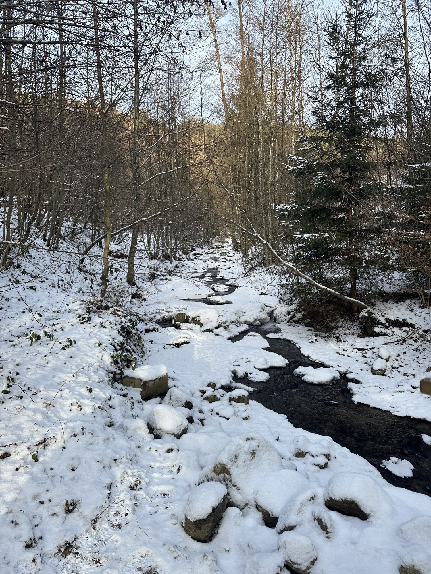


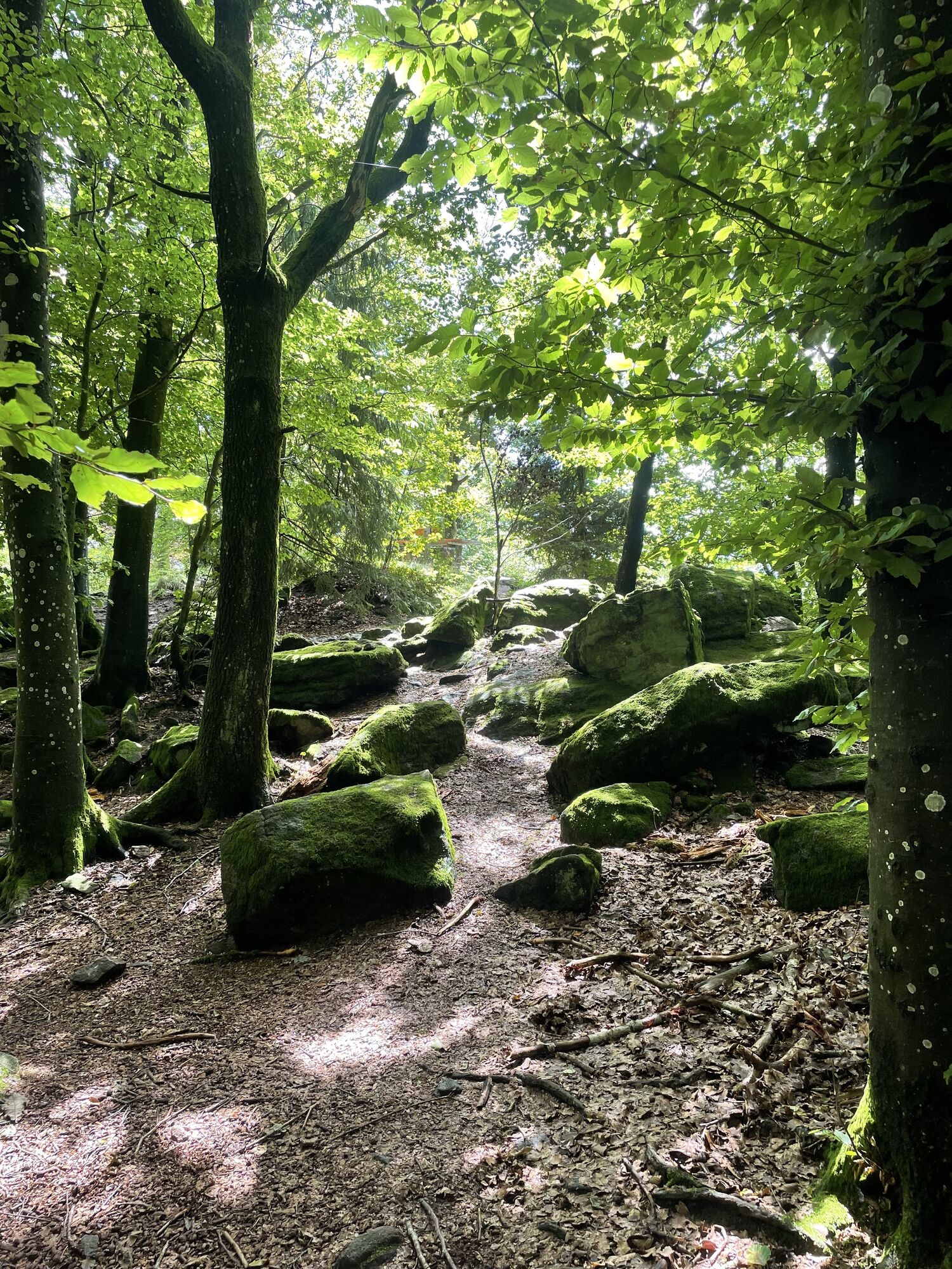
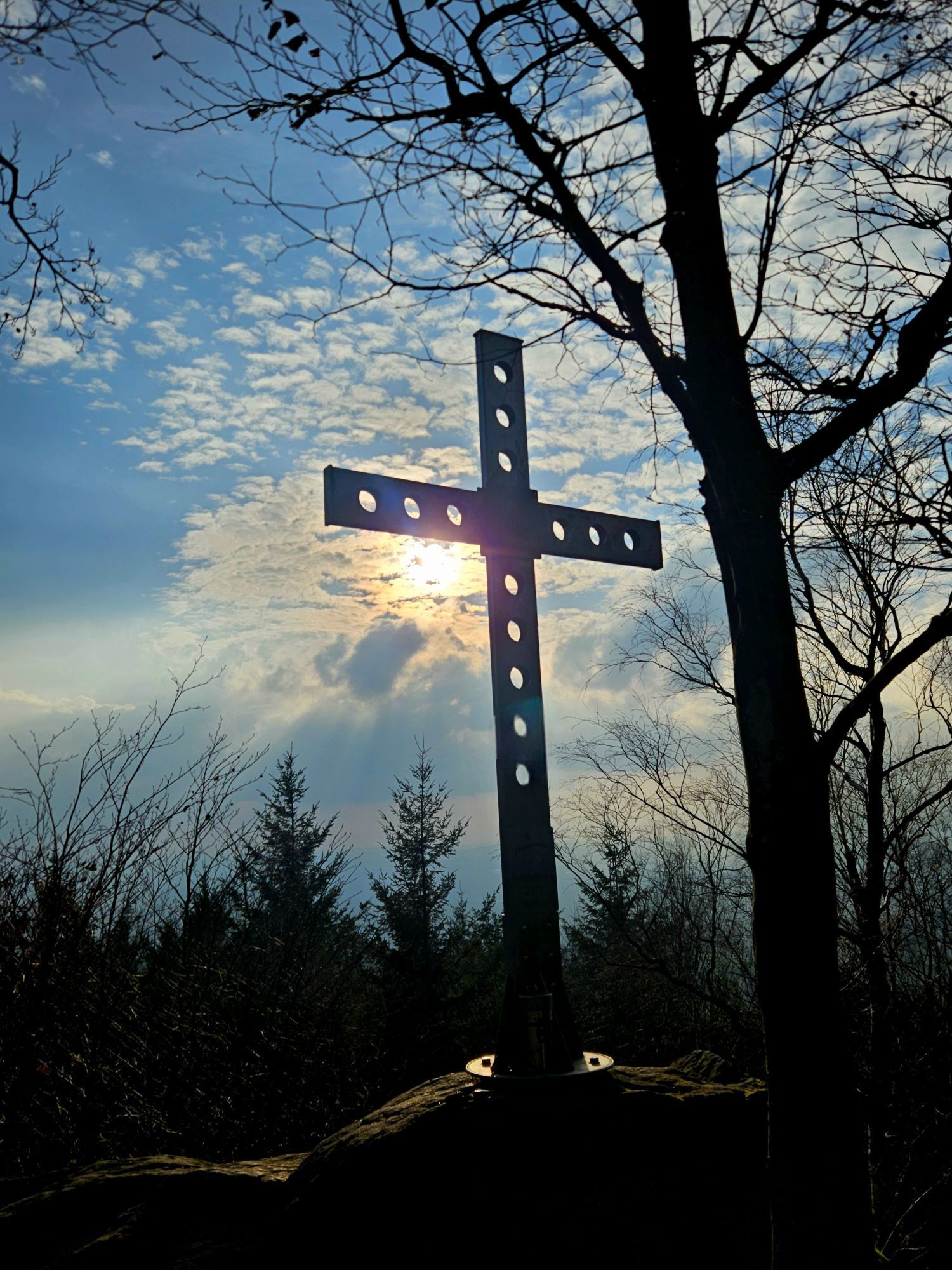
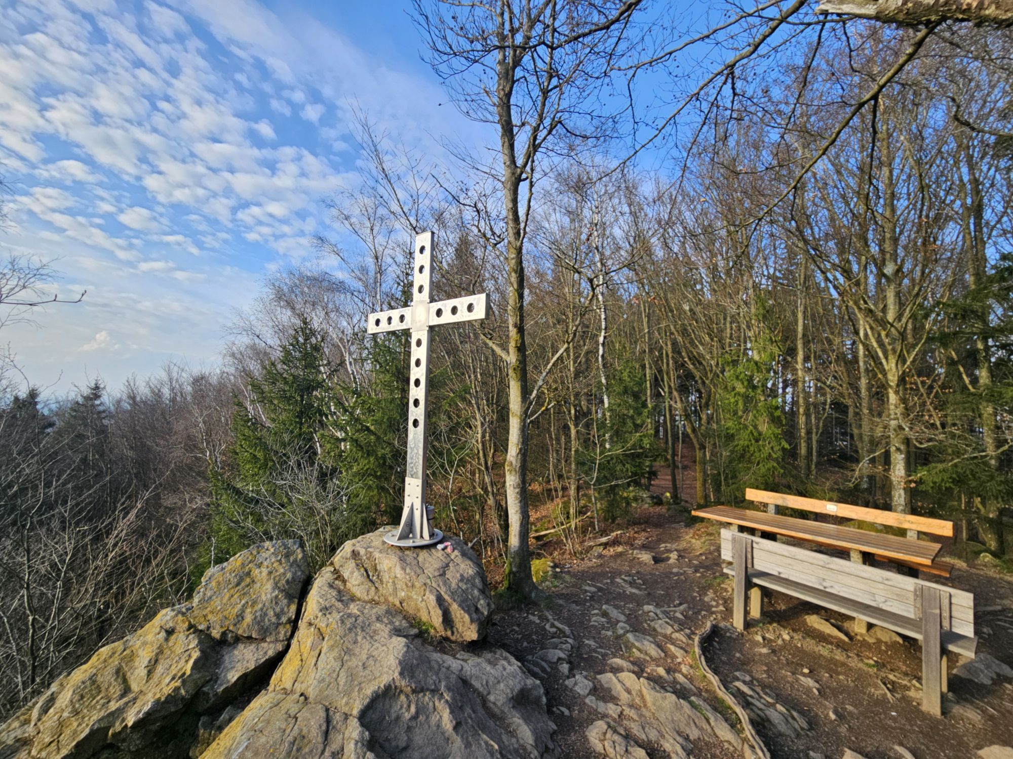

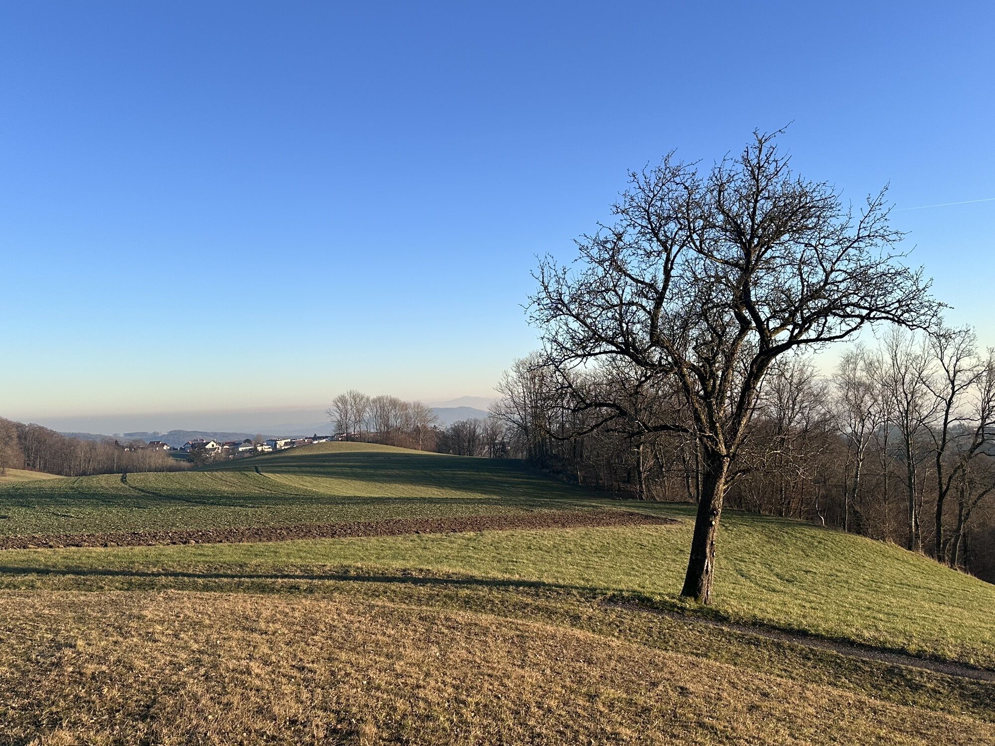
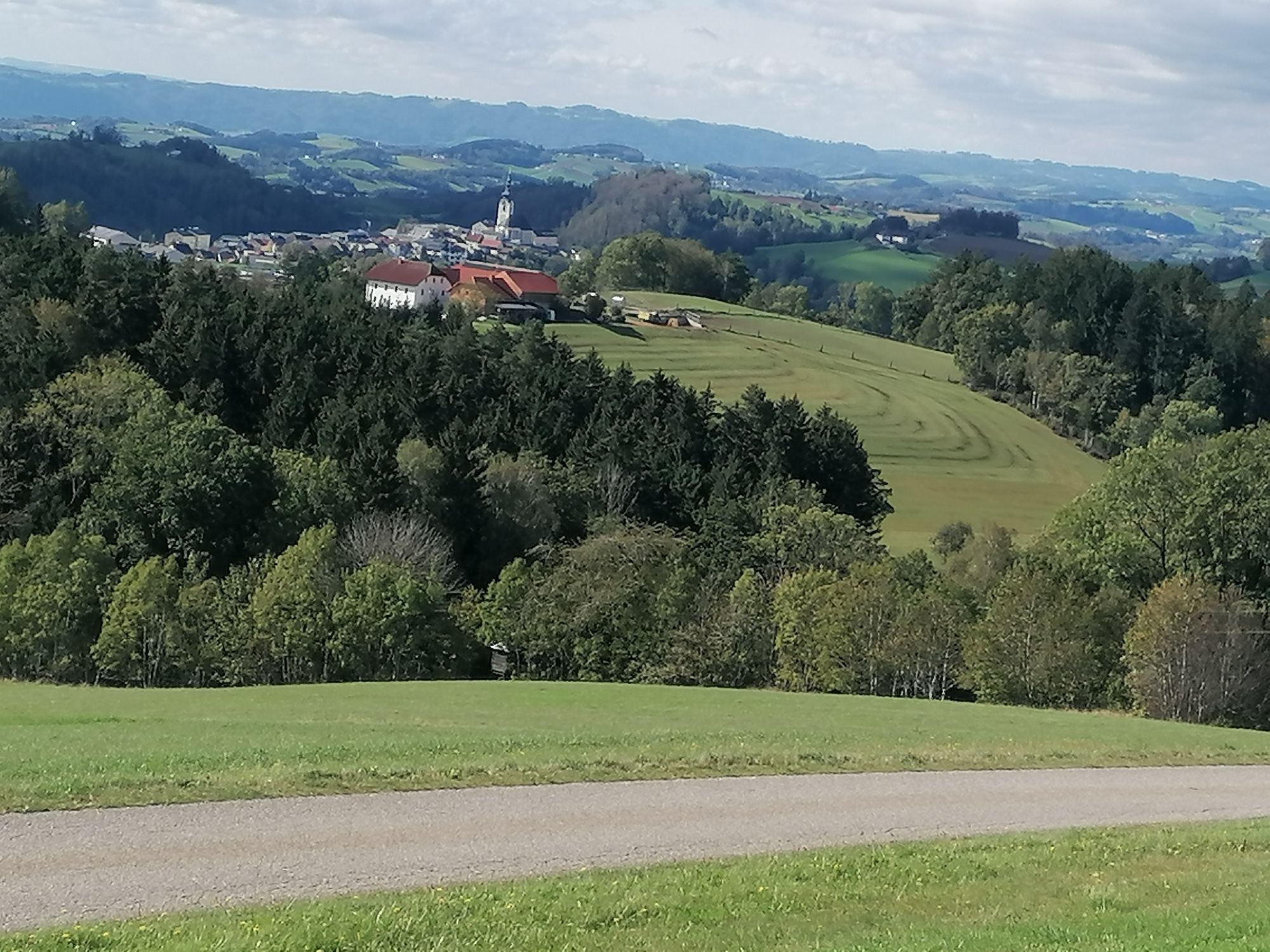
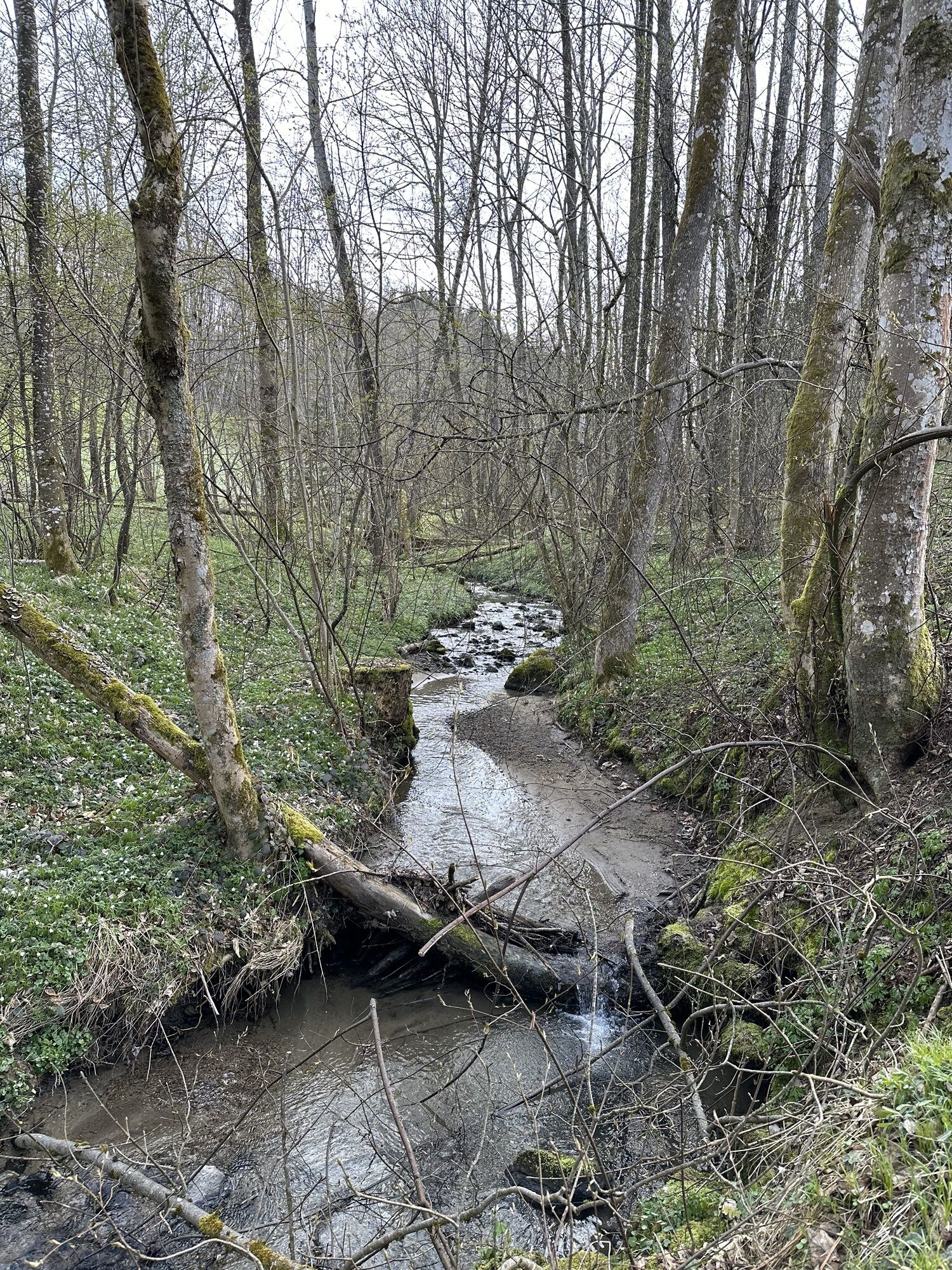
Right at the start, the ride along the unspoiled Bleicherbach is a highlight. Via Gramastetten and Eidenberg, you reach the Gis on partly challenging paths, where a rest is well deserved.
"Scenic" is then...
Right at the start, the ride along the unspoiled Bleicherbach is a highlight. Via Gramastetten and Eidenberg, you reach the Gis on partly challenging paths, where a rest is well deserved.
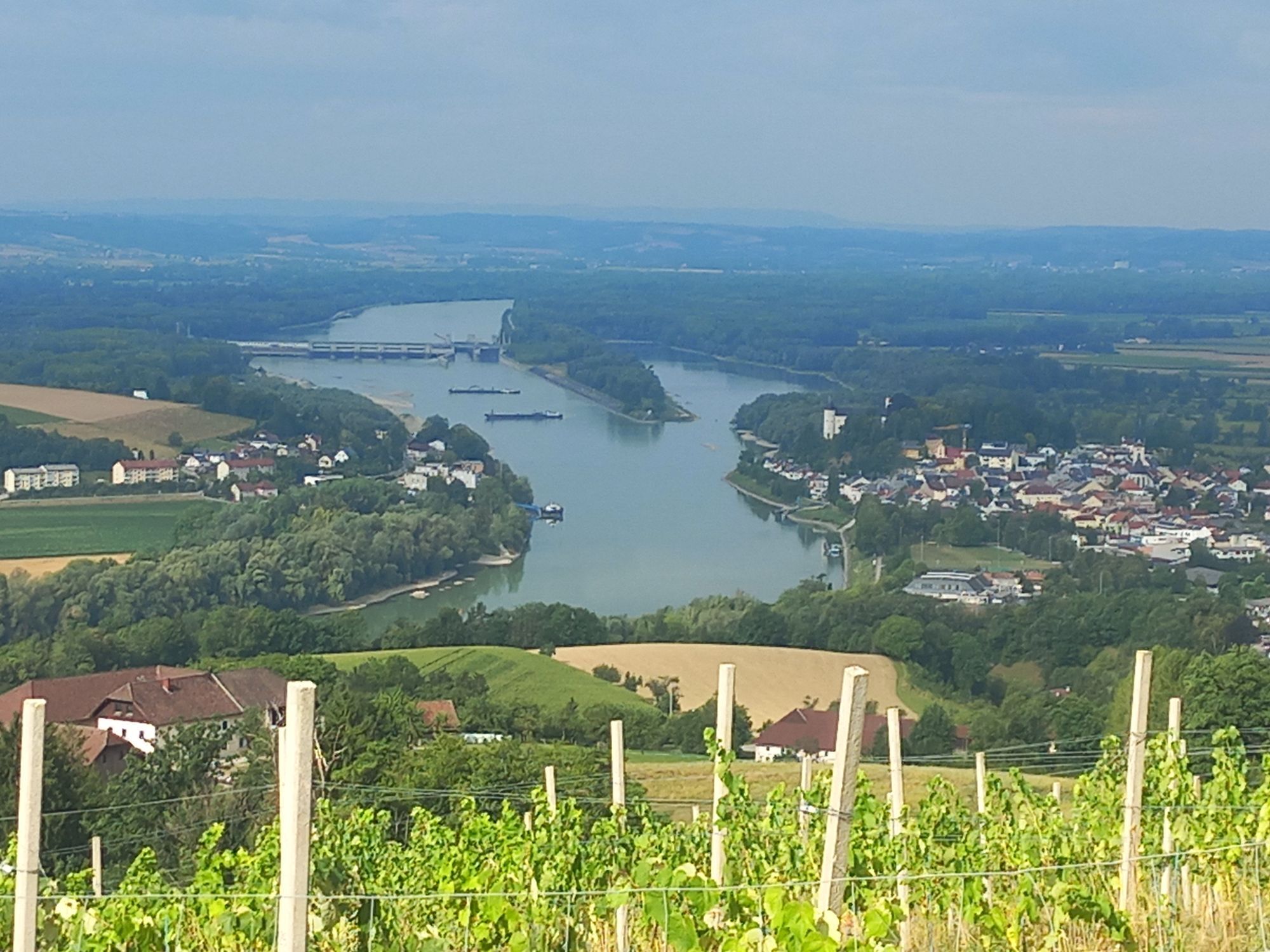
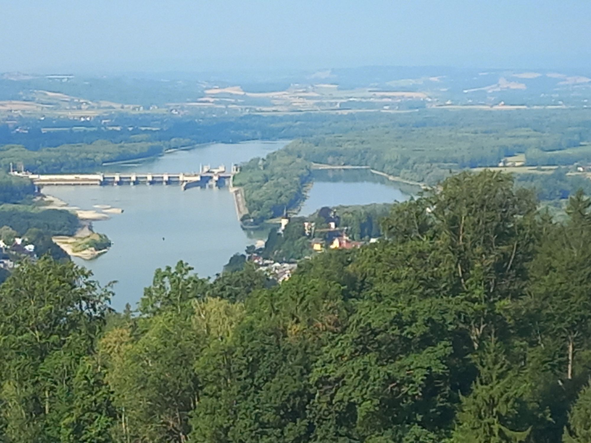
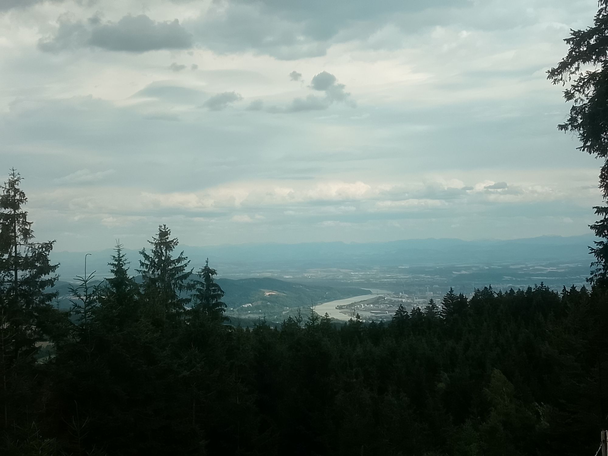
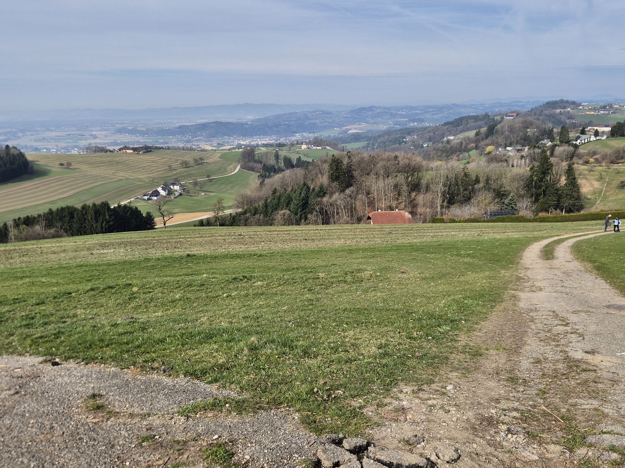
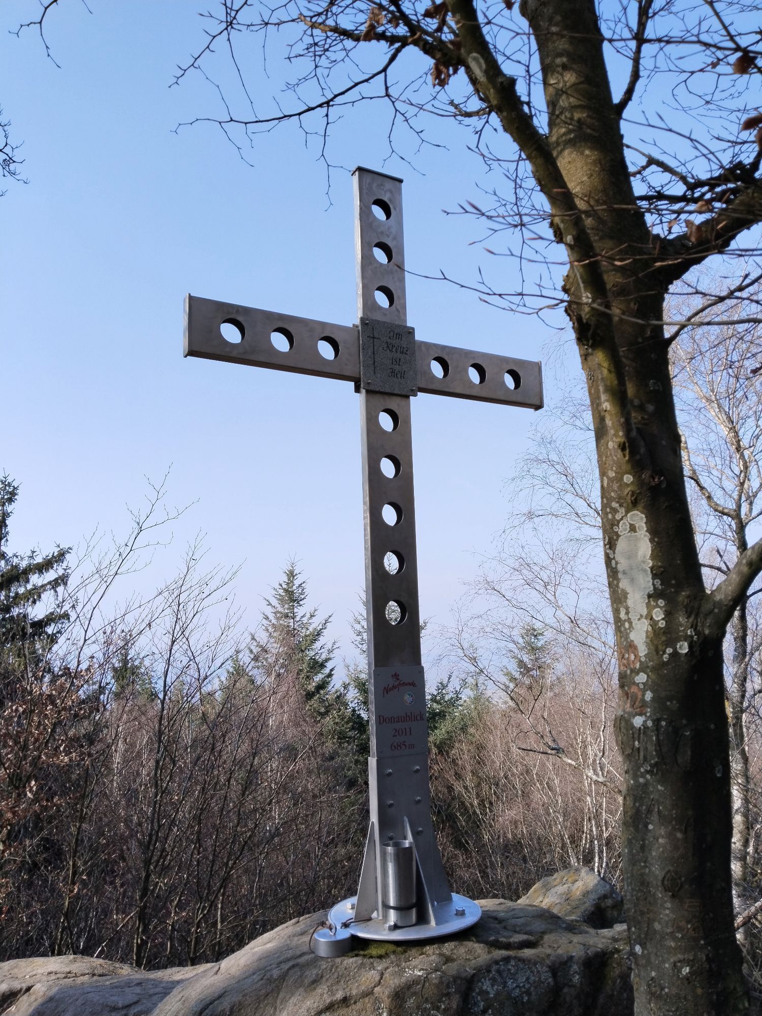
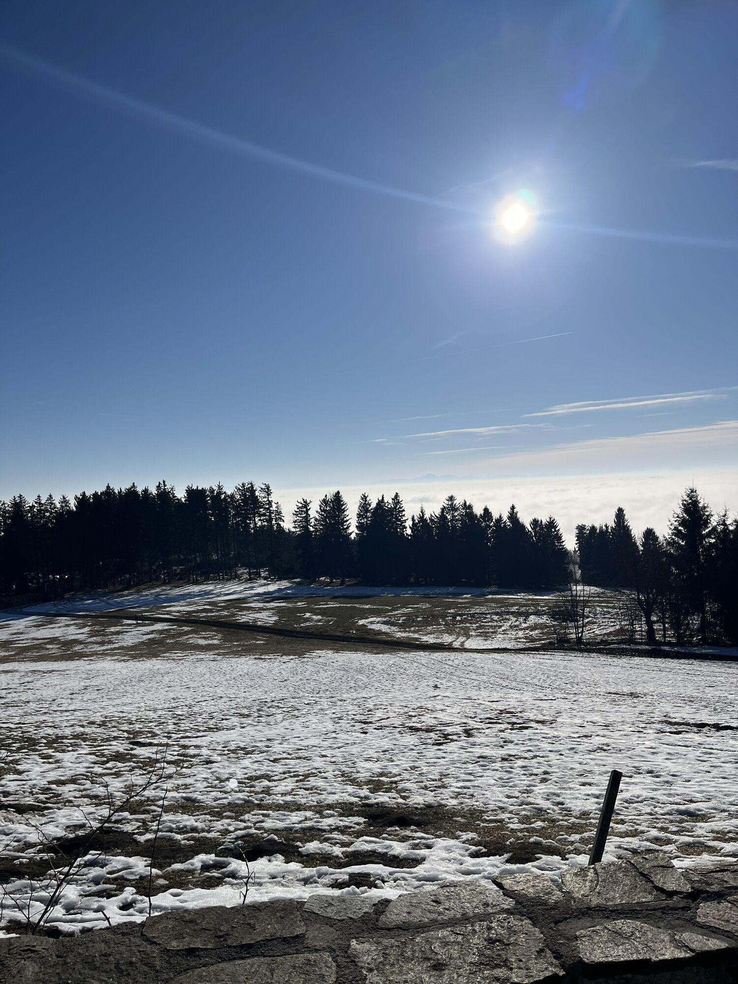
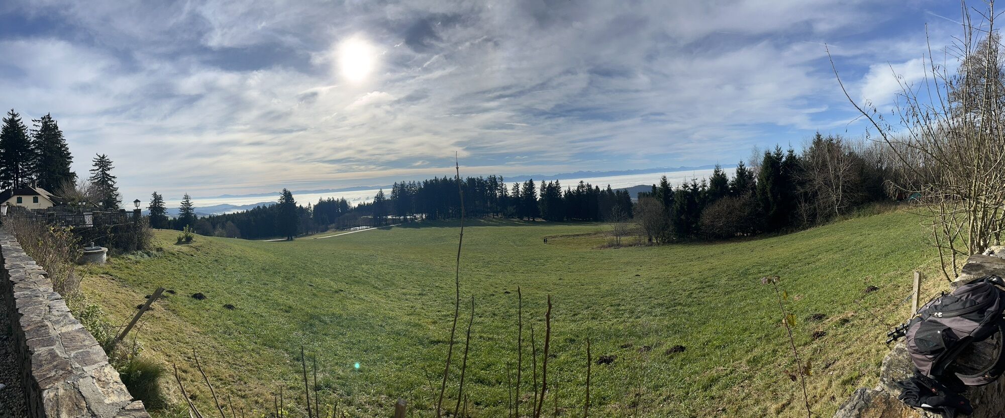
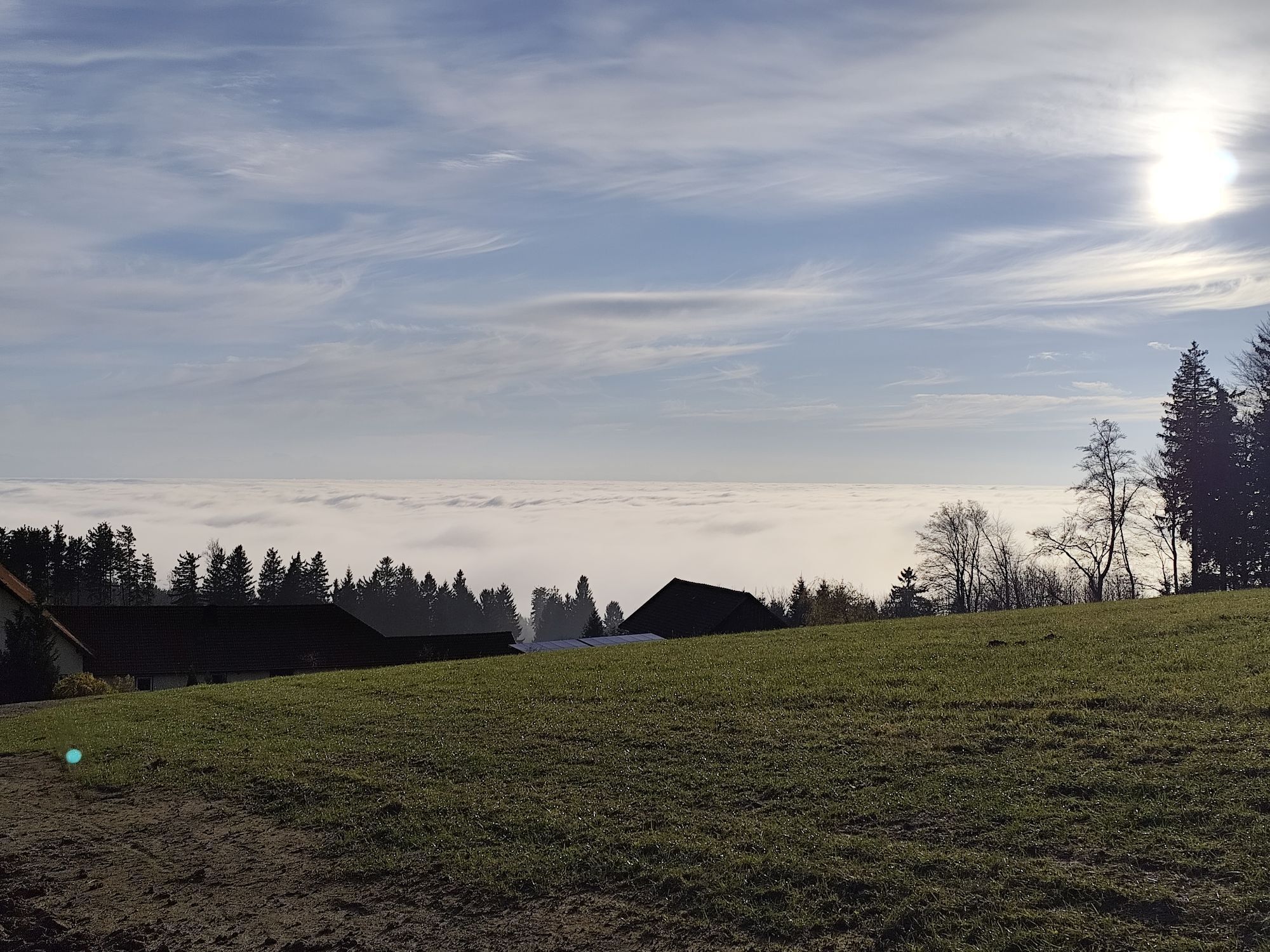
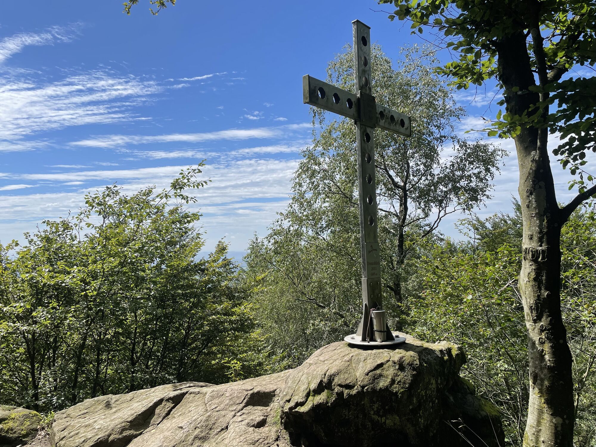
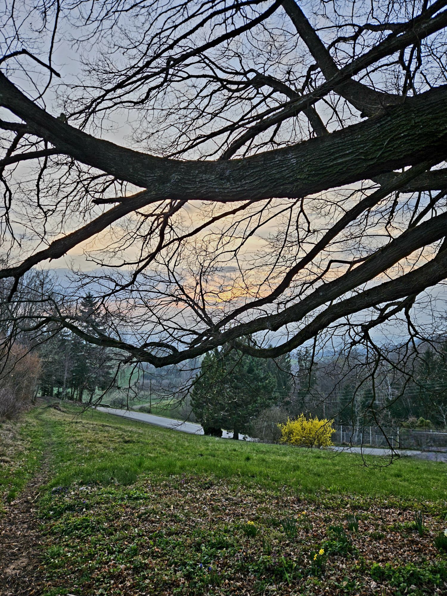
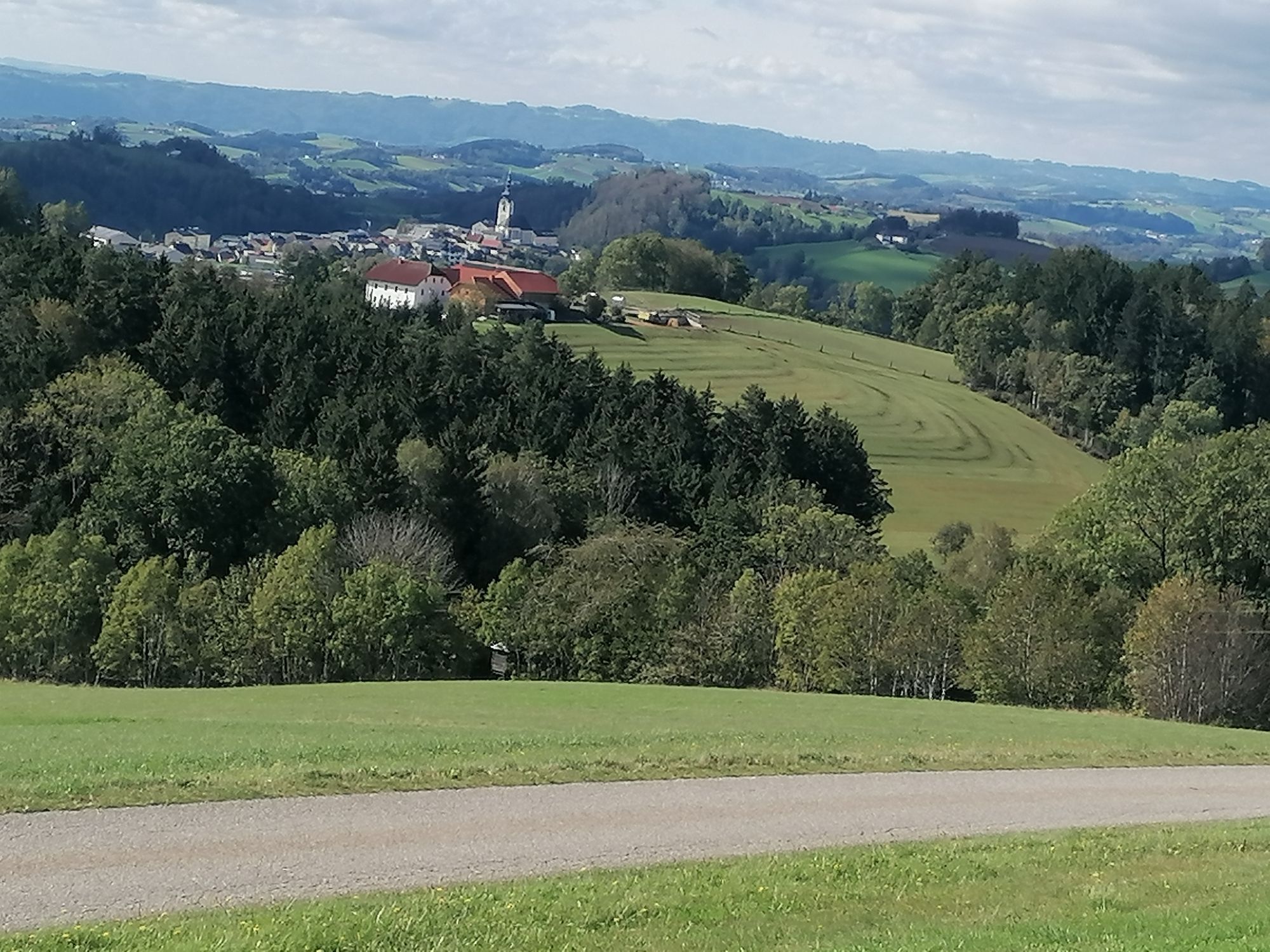
"Scenic" is then the return route to Ottensheim. You definitely should not miss the short detour to the Danube view. There, and on the descent from the Dürnberg, you have a magnificent panoramic view from the hill country of the Mühlviertel over the Danube valley all the way to the Alps.
A feeder route from the Walding Sports Park (D1) also leads to this round.



Webové kamery z prehliadky
Získajte prehľad
Vždy naživo na mieste s viac ako 9 500 webovými kamerami. bergfex Ako používateľ Pro si teraz môžete pozrieť príslušné webové kamery pre mnohé zájazdy v aplikácii zájazdy z. Môžete si tak priamo prezerať aktuálne podmienky.

Obľúbené výlety v okolí
-
4,7
Prinzensteig Rundweg
svetloTuristika 13,7 km -
4,4
Linz: City Hiking Trail Pöstlingberg
strednáTuristika 7,71 km -
4,5
Moorweg Bad Leinfelden
svetloTuristika 4,85 km -
4,7
Steyregg Pfenningberg-Gipfelwanderweg
strednáTuristika 4 km -
4,4
Ottensheim: Danube Panorama Route
strednáTuristika 8,14 km -
5,0
Steyregg AV 50 Plesching - GH Daxleitner
svetloTuristika 4 km -
4,1
Donausteig stage 3_S05 Wilhering - Linz: “Over the Prinzensteig through the Linz Gate”
strednádiaľková pešia trasa 13,2 km -
4,9
Kreuzweg auf den Pöstlingberg Linz, Österreich
svetloTuristika 1,30 km -
4,0
Kürnbergwald - kurzer Rundwanderweg
svetloTuristika 9,46 km -
4,5
Gramastetten: 3 Streams - 4 Mountains Route
Turistika 15,4 km
Turistika a stopovanie


Nenechajte si ujsť ponuky a inšpiráciu na ďalšiu dovolenku
Vaša e-mailová adresa bol pridaný do poštového zoznamu.





