


Neukirchen am Walde: Sixtus Way
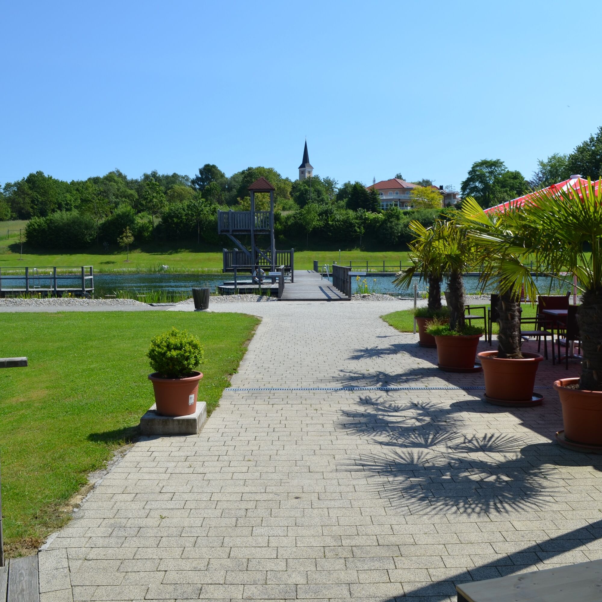
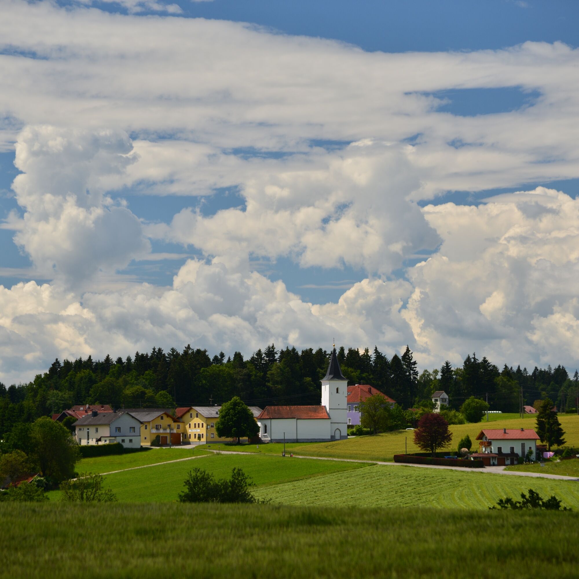
The circular hiking trail leads over a length of 17 km through a varied landscape with beautiful viewpoints. Past the former Spattenbrunn Castle to the branch church St. Sixtus at the old state border,...
The circular hiking trail leads over a length of 17 km through a varied landscape with beautiful viewpoints. Past the former Spattenbrunn Castle to the branch church St. Sixtus at the old state border, past creek valleys and to the highest point of the municipality.
Interesting points on the way
Legendary cultural life
Spattenbrunn Castle
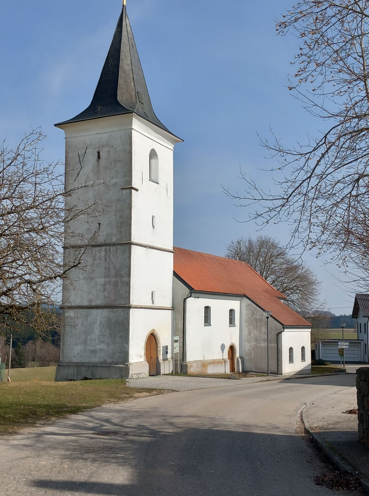
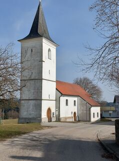
Branch church St. Sixtus
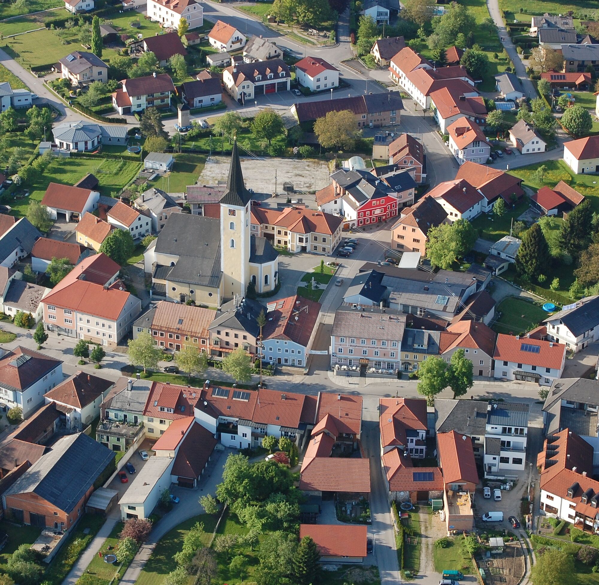
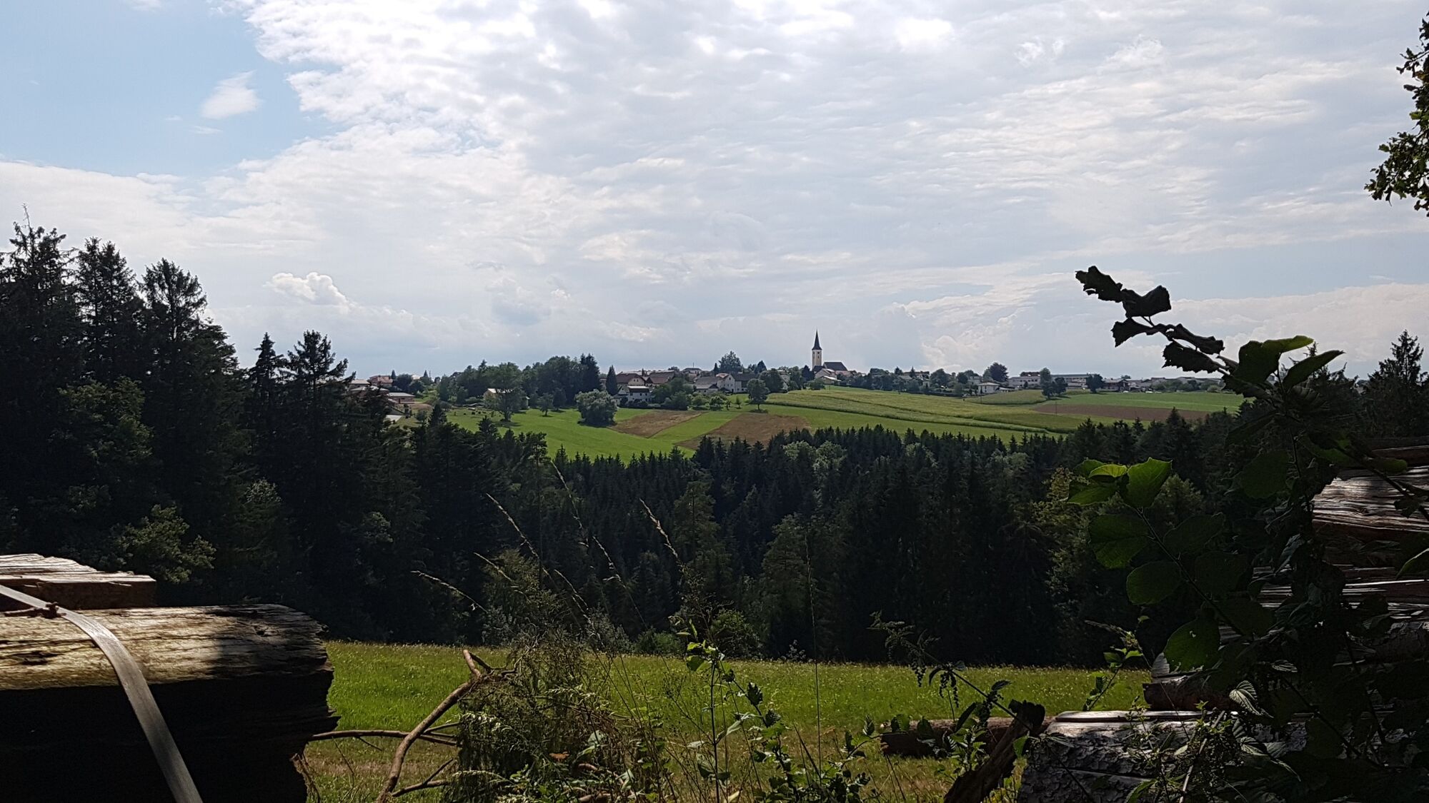
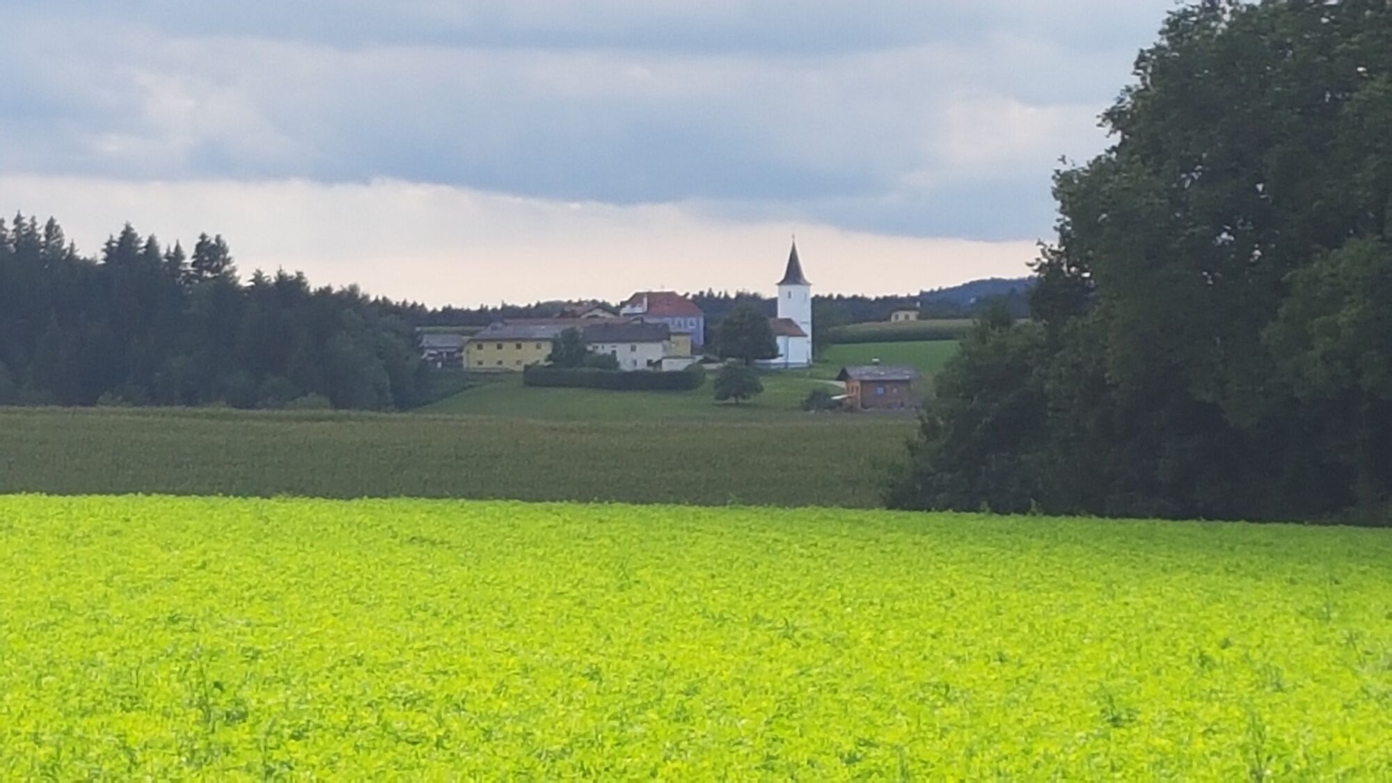
The circular route begins at the marketplace Neukirchen am Walde at the starting point board and leads past the former Spattenbrunn Castle. It then continues through a varied landscape to the branch church St. Sixtus, dedicated to St. Pope and Martyr Sixtus II. The path then leads further along the old state border to the highest point of the municipality, from where you can enjoy the magnificent view. The entire circular route extends over a length of 16.5 km.
Hiking backpack (incl. rain cover), sturdy footwear
By post bus:
from Grieskirchen via Peuerbach to Neukirchen am Walde with line 690
from Grieskirchen via Waizenkirchen to Neukirchen am Walde with line 690
Timetables at: www.ooevv.at
Commuter car park behind the municipal office in Kühbachstraße
Fire brigade car park in Franz Sandberger Street
Car park at Dr. Josef Ratzenböck rest area at Kreuzberg
Neukirchen am Walde Municipal Office
Marktplatz 20
4724 Neukirchen am Walde
Tel.: 0043 (0) 7278/ 3255
gemeinde@neukirchen-walde.ooe.gv.at
www.neukirchen-walde.ooe.gv.at
Places to eat along the route:
Gasthaus zur Post Gasthaus Berghamer Wirt in Sixt Gasthaus RatzenböckThis route is presented to you by the Donau Upper Austria tourism region
Aktivity počas prehliadky

Obľúbené výlety v okolí
-
4,4
Haibach: CICONIA circular route
strednáTuristika 11,2 km -
3,8
Waldkirchen: 4/4 View Round | Large Danube Resonance Path Round
strednáTuristika 12,9 km -
4,8
Hofkirchen: Waterfall round
strednáTuristika 8,43 km -
2,9
Alm-Mühlen-Runde
svetloTuristika 5,12 km -
4,5
Rannatalweg
strednáTuristika 10,7 km -
4,0
R1.05 Sauwald Panorama Route
strednáCyklistika 57,8 km -
5,0
Kneipp,- Fitnessweg im Rannatal
svetloTuristika 3,79 km -
4,7
Rannastausee
svetloTuristika 9,03 km -
4,6
St. Agatha: It must be - Trail
strednáTuristika 20,7 km -
3,6
Mayrhofberg 655m - höchster Gipfel des Bezirkes Eferding
svetloTuristika 8,78 km
Turistika a stopovanie


Nenechajte si ujsť ponuky a inšpiráciu na ďalšiu dovolenku
Vaša e-mailová adresa bol pridaný do poštového zoznamu.