







Donau-Höhen-Rundwanderweg 452

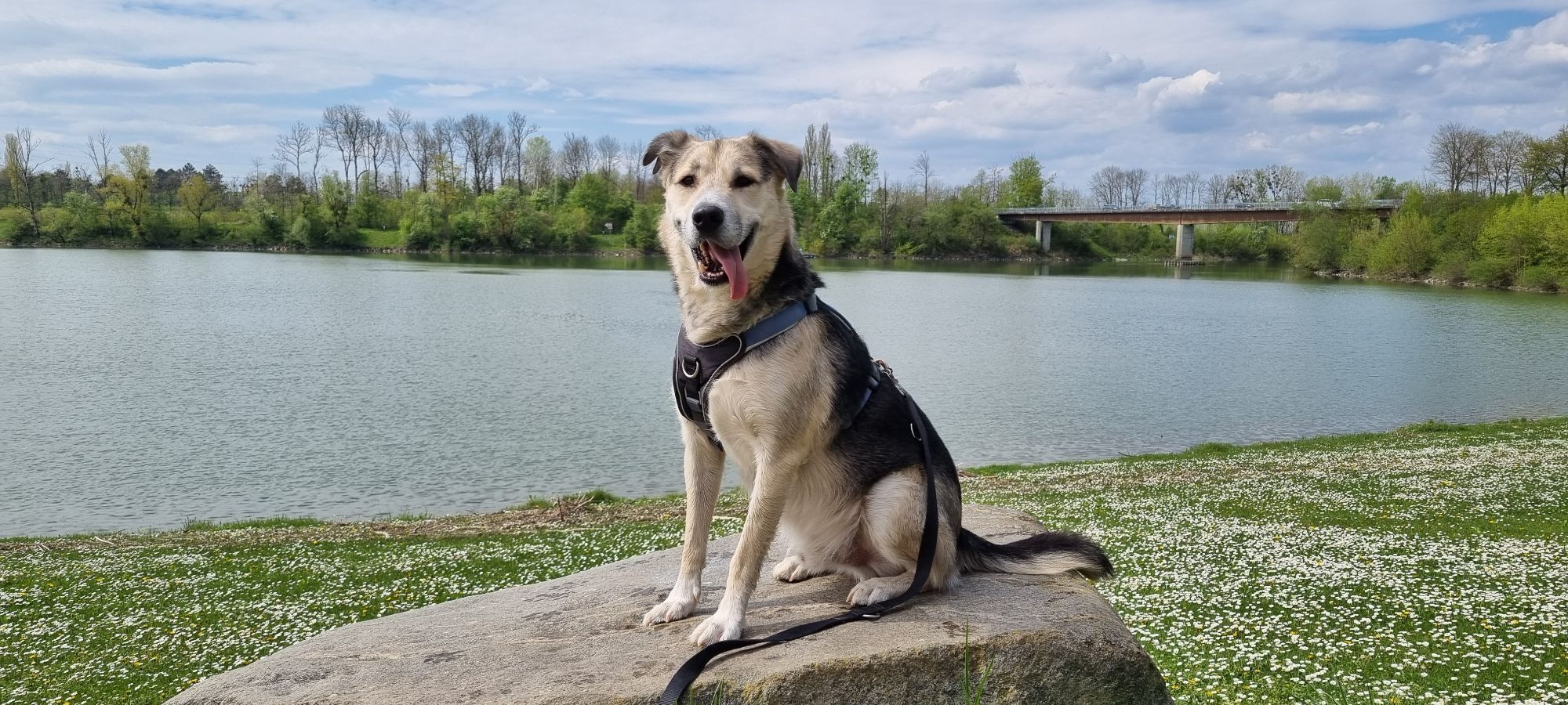
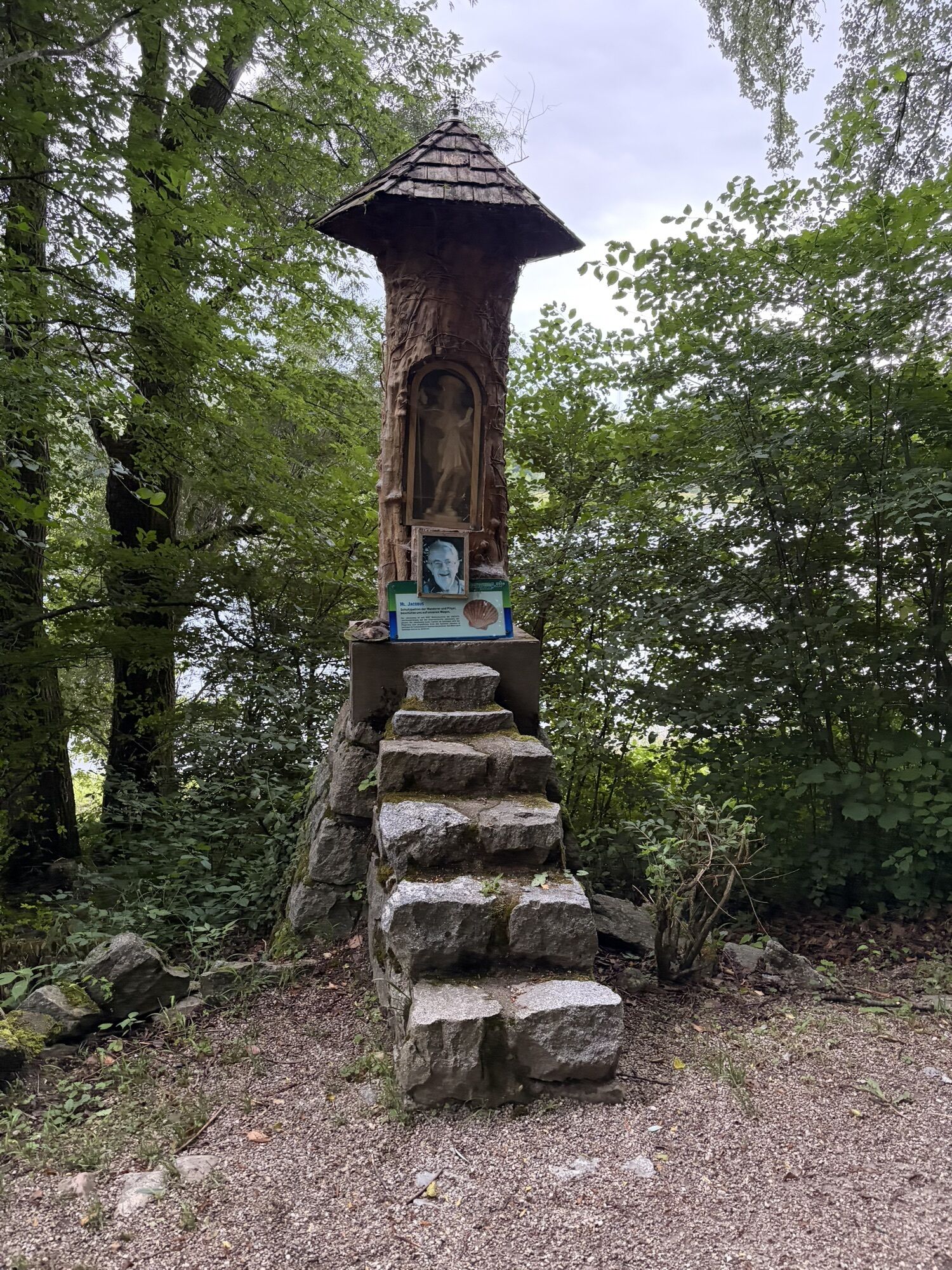
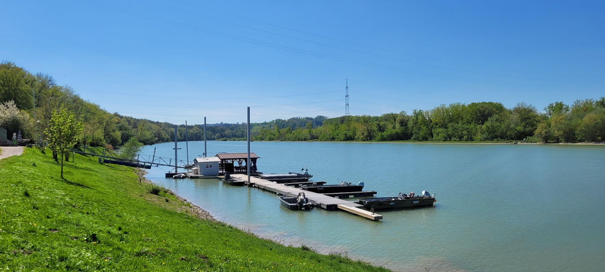
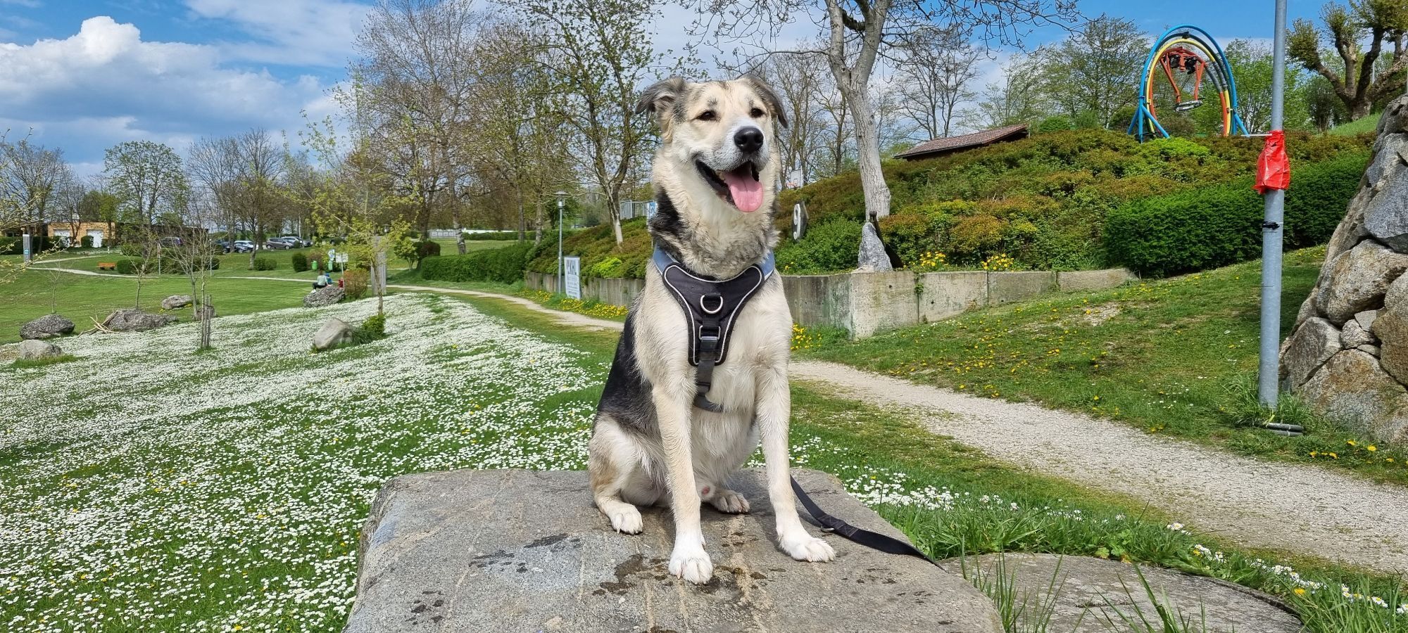
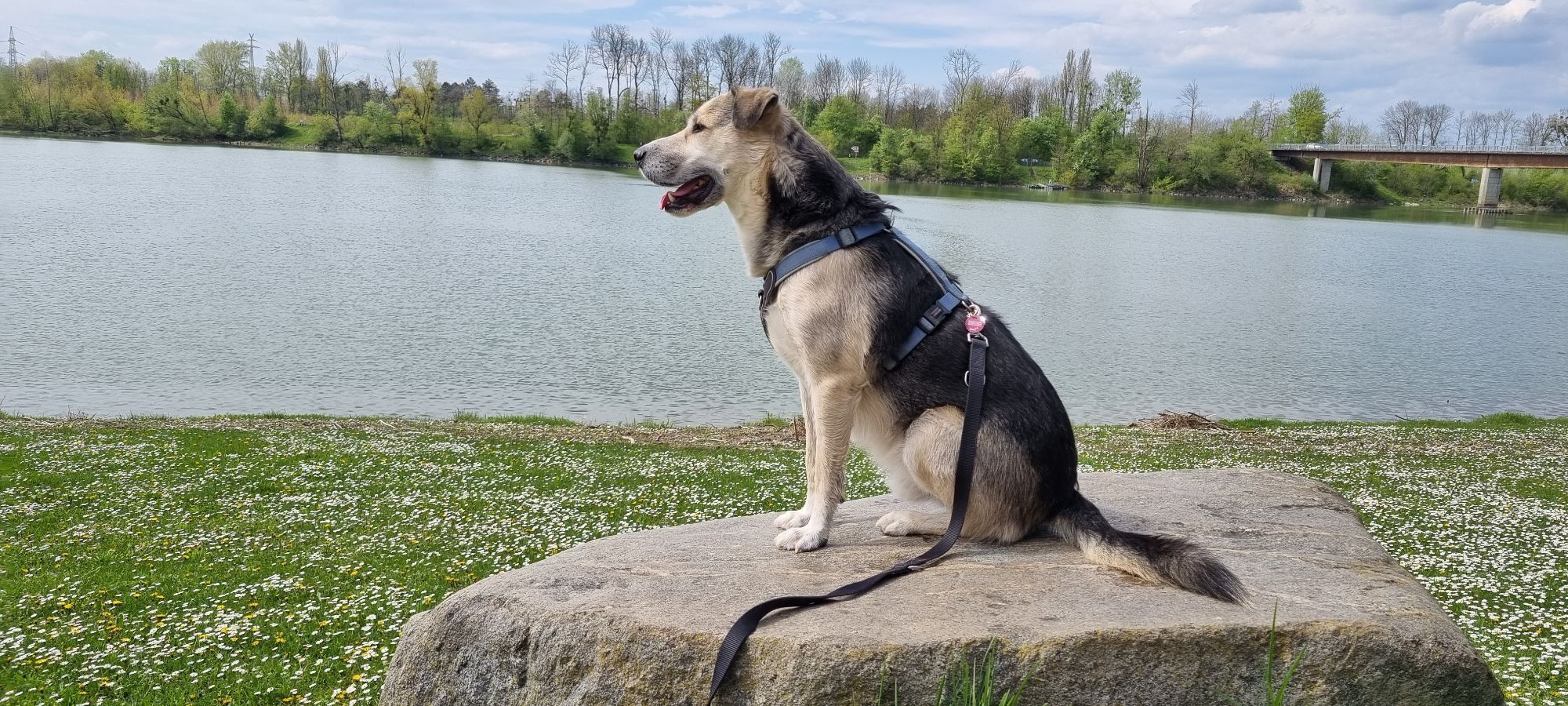
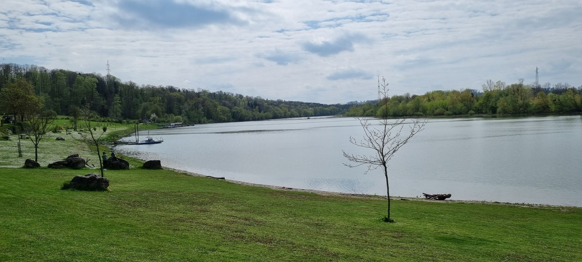
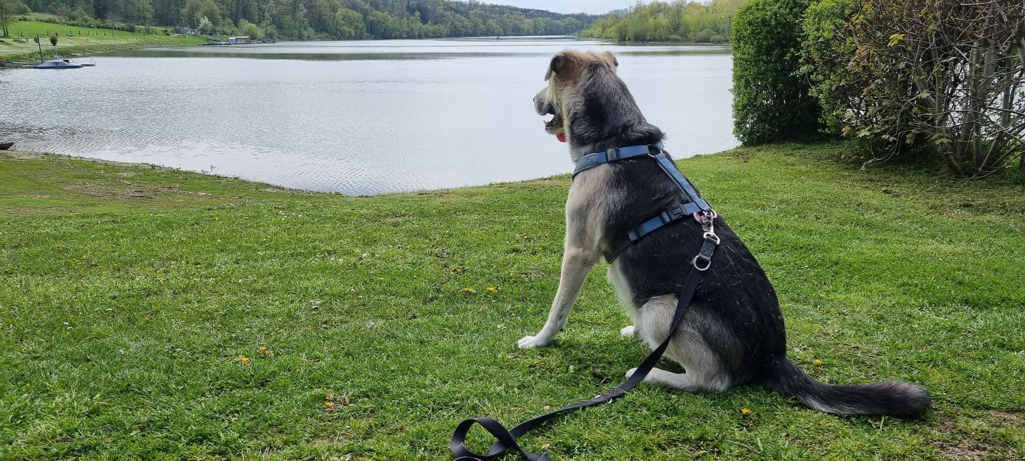

The 540 km long Donau-Höhen-Rundwanderweg leads along the Danube ridge through 60 idyllic villages and connects the Danube cities of Passau, Linz and Ybbs. The new Donausteig project will lead the Weitwandeweg...
The 540 km long Donau-Höhen-Rundwanderweg leads along the Danube ridge through 60 idyllic villages and connects the Danube cities of Passau, Linz and Ybbs. The new Donausteig project will lead the Weitwandeweg along new stretches of the Danube.


The 540-kilometer-long Danube Heights Circular Hiking Trail runs along the Danube Heights ridge through 60 idyllic towns and connects the Danube cities of Passau, Linz, and Ybbs. The new Donausteig project will extend the long-distance hiking trail to include new sections along the Danube.
comfortable shoes
Oed Highway Interchange, signs for Strengberg
Take the train to Amstetten Station, then take the bus to Strengberg
There are several parking lots in the town. Please follow the signs.
www.strengberg.gv.at, www.donausteig.at
Our own hiking maps are available.

Obľúbené výlety v okolí
-
4,6
Schwertberg: Weltstoarunde
svetloTuristika 11,4 km -
4,8
Clamrunde durch die Schlucht
svetloTuristika 5 km -
4,1
Wallsee Altarmrunde
svetloTuristika 8,19 km -
4,7
R1.13 Alpenblick loop
strednáCyklistika 52,2 km -
4,3
Dunajská cyklocesta, 3. etapa, severný breh: Linz - Grein
svetloDiaľková cyklotrasa 60,4 km -
4,8
Burg Klam Rundweg
svetloTuristika 10,9 km -
4,0
Schwertberg-Josefstal-Ruine Windegg-Aiser-Runde
svetloTuristika 10,3 km -
3,4
Perg: Kugelmanderl-Weg
svetloTuristika 9,04 km -
3,8
Mitterkirchen: Devil's Path
svetloTuristika 12,5 km -
4,5
R1.12 Weltstein Loop
strednáCyklistika 38,9 km

Turistika a stopovanie


Nenechajte si ujsť ponuky a inšpiráciu na ďalšiu dovolenku
Vaša e-mailová adresa bol pridaný do poštového zoznamu.





