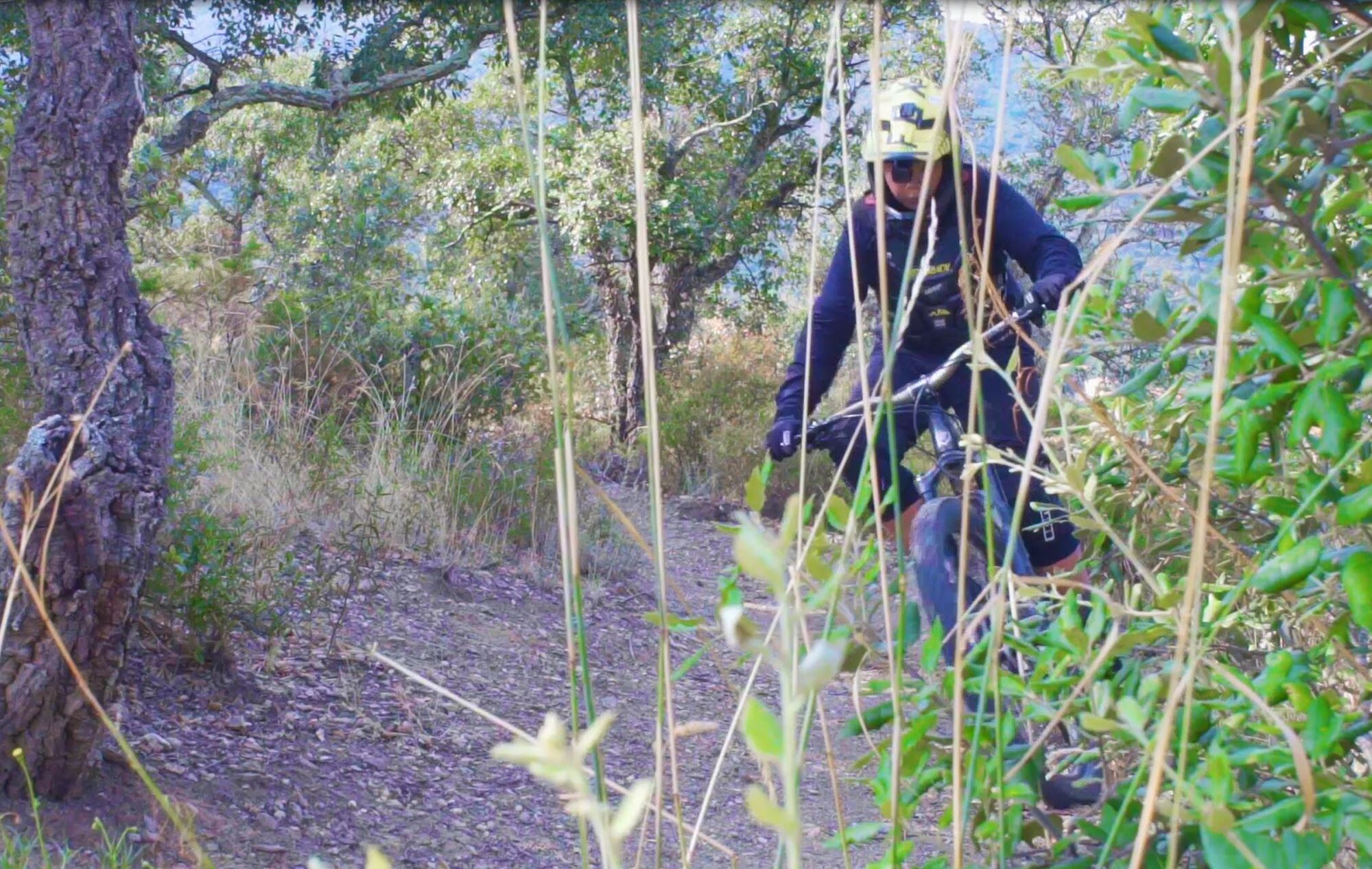
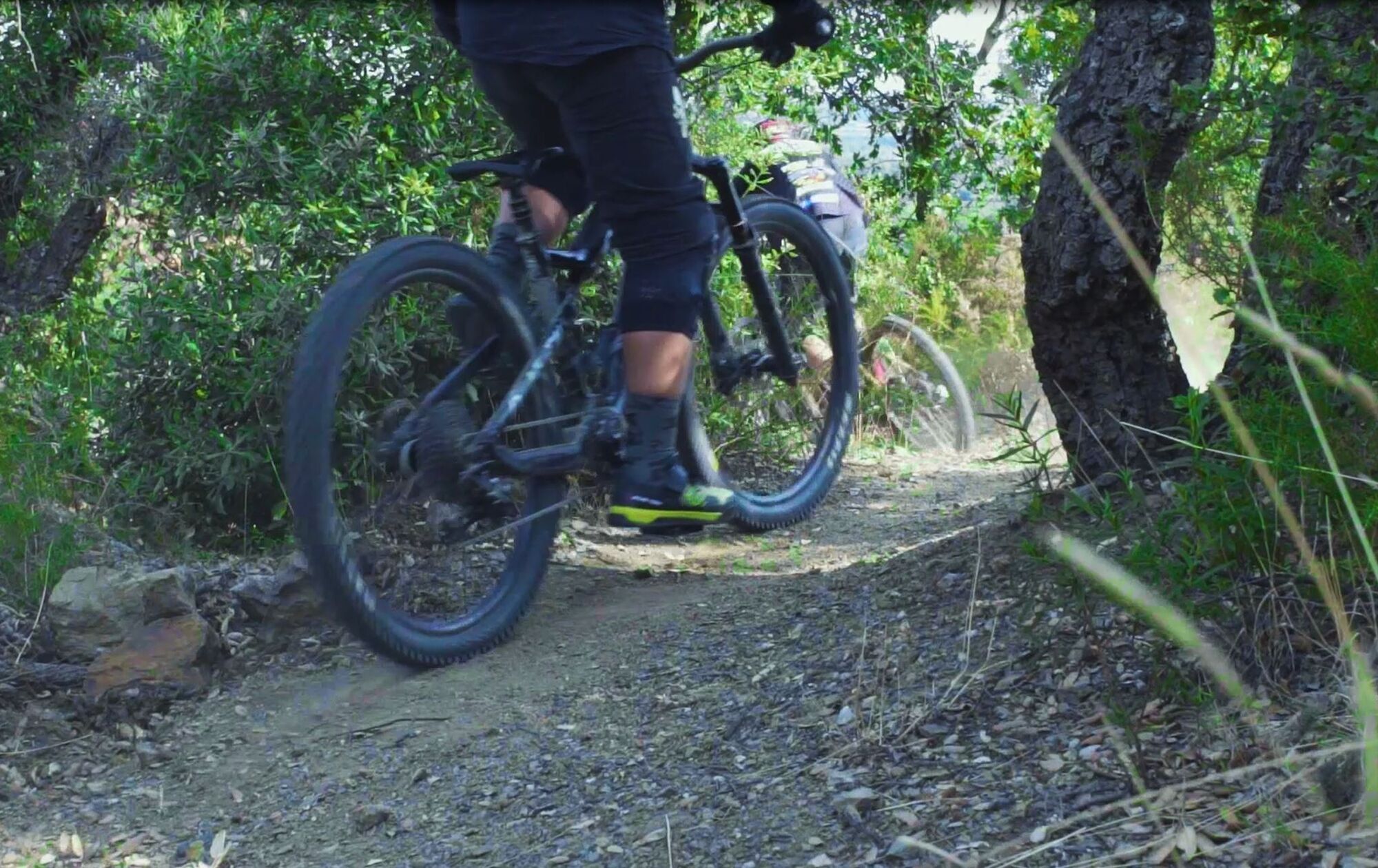
Les Balcons d'Argelès (mountain bike)
stredná
Navigácia na stránke
Navigácia na stránke
Získajte túto prehliadku v mobilnom telefóne
Les Balcons d'Argelès (mountain bike)
stredná
Mountainbike
19,36
km
Naskenujte kód QR a spustite navigáciu v aplikácii bergfex

Turistika a stopovanie


Les Balcons d'Argelès (mountain bike)
stredná
Vzdialenosť
19,36
km
Trvanie
02:30
h
Ascent
561
hm
Hladina mora
47 -
576
m
Stiahnutie skladby
Les Balcons d'Argelès (mountain bike)
stredná
Mountainbike
19,36
km
A difficult level course to test your physical abilities. Several trails connected by rolling parts, a descent on a cleared trail and exceptional views of Argelès-sur-Mer and the Roussillon plain.
Trasa
Font Andreu
(575 m)
Zdroj
10,1 km
Trasa
Les Balcons d'Argelès (mountain bike)
stredná
Mountainbike
19,36
km
Font Andreu
(575 m)
Zdroj
10,1 km
Autor
Poskytuje OTI Pyrénées Méditerranée
Prehliadku Les Balcons d'Argelès (mountain bike) zabezpečuje outdooractive.com.
Informácie o trase
Trasa
View from above of Argelès-sur-Mer. You will successively reach the heights of Argelès-sur-Mer following these different levels.
At the ford, take the path on the left. After a hundred yards, you’ll encounter your first difficulty, a steep climb leads you to a hillside on this first part of the course. The first ten minutes are very hard. Don’t give up now ! At the top of this slope, proceed down on 3 kms to before a little forward thrust until the fork of the Mas Cristine. The fork of Mas Cristine is a passage from the path to a paved road of 300 mètres long . It’s also the last soft passage before the beginning of the principal climb to the basin. At the end of this road take the path DFCI. From this point, be patient, the next three kilometers will be easier. You will reach the highest point of this bike ride at the basin . There are yet a few difficulties before the long descent to Valmy. Continue on the right side of the basin. For the more daring, the trail continues straignt ahead for 2 kms towards the Col de la Place d'Armes. Be careful , at the end of the path, it’s necessary to carry the bike to get to the “Tour de la Massane”. 4. In the descent, do not miss the hairpin bend. This point is ideal for a souvenir photo. After all of your hard work, it is well deserved
Informácie o príchode
Príchod
Direct access by RD 914: Exit Château de Valmy
Verejná doprava
Bus à 1€
Parkovanie
Parking du Château de Valmy
Ďalšie informácie a tipy
Ďalšie informácie
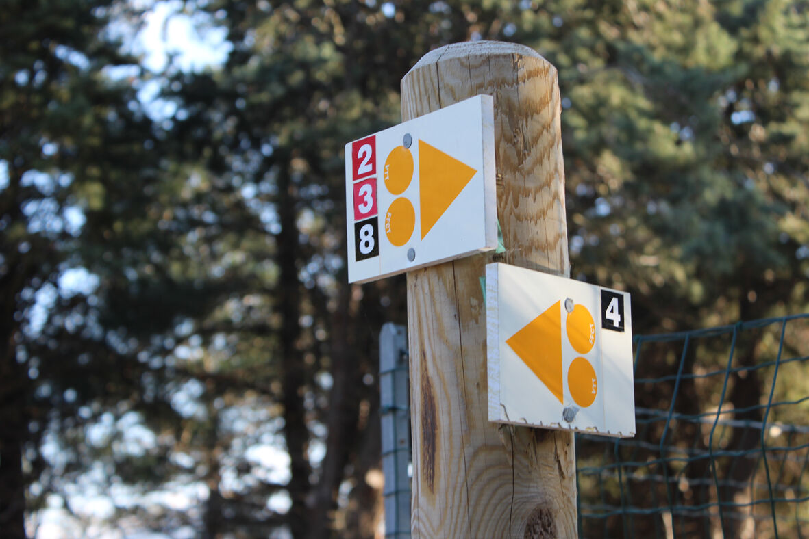
Follow the signs (montain bike) red color n°3
Oceňovanie
5
(0)
4
(2)
3
(0)
2
(0)
1
(0)
Obľúbené výlety v okolí
-
4,5
The "Casot d'en Lic"
strednáTuristika 5,40 km -
5,0
Néoulous summit - Col de l'Ouillat
strednáTuristika 16,9 km -
The Massane tower
strednáTuristika 12,4 km -
In the footsteps of Walter Benjamin and of the Retirada
strednáTuristika 12,6 km -
"La Retirada" and the paths of exile
strednáTuristika 5,26 km -
Hauts des Forts Trail (Long Version)
strednáTrailrunning 21,8 km -
From Lavail to Valmy via the Tour de la Massane
strednáTuristika 10,3 km -
Loop of Notre Dame de la Salette
strednáTuristika 9,50 km -
The balconies of Sorède from Lavail
ťažkéTuristika 22,6 km -
Top of the forts - The small course
strednáTuristika 12,4 km
Turistika a stopovanie

Viac ako 550.000 návrhov výletov, podrobné mapy a intuitívny plánovač trás robia z aplikácie povinnú výbavu pre všetkých nadšencov prírody.

Nenechajte si ujsť ponuky a inšpiráciu na ďalšiu dovolenku
Prihlásiť sa k odberu noviniek
Chyba
Vyskytla sa chyba. Prosím, skúste to znova.
Ďakujeme za vašu registráciu
Vaša e-mailová adresa bol pridaný do poštového zoznamu.
Zájazdy po celej Európe
Rakúsko
Švajčiarsko
Nemecko
Taliansko
Slovinsko
Francúzsko
Holandsko
Belgicko
Poľsko
Lichtenštajnsko
Česko
Slovensko
španielsko
Hrvaška
Bosna a Hercegovina
Luxembursko
Andorra
Portugalsko
Island
Spojené kráľovstvo
Írsko
Grécko
Albánsko
Severné Macedónsko
Malta
Nórsko
Čierna Hora
Moldavsko
Kosovo
Maďarsko
San Maríno
Rumunsko
Estónsko
Lotyšsko
Bielorusko
Cyprus
Litva
Srbsko
Bulharsko
Monako
Dánsko
Švédsko
Fínsko