


Néoulous summit - Col de l'Ouillat
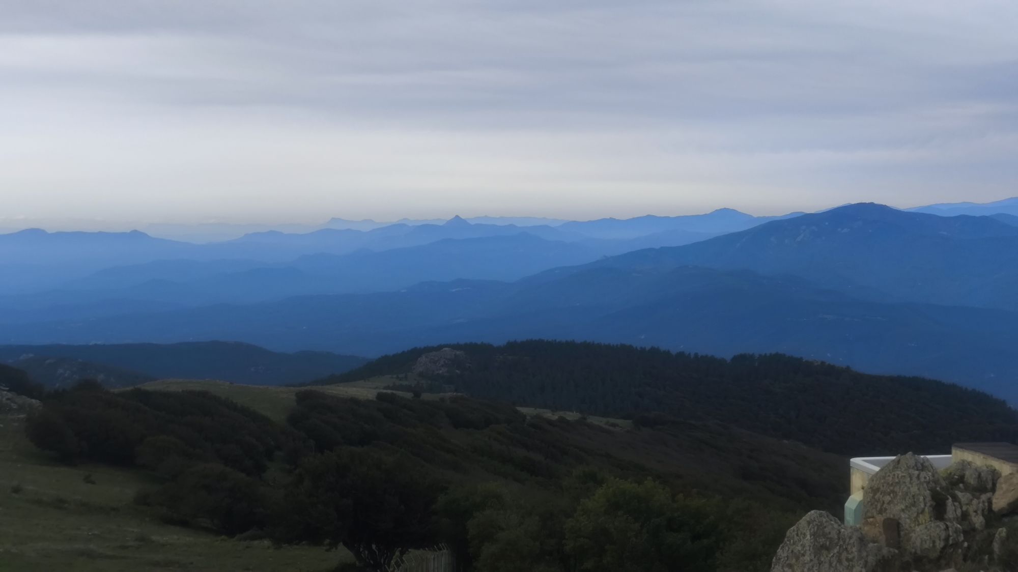
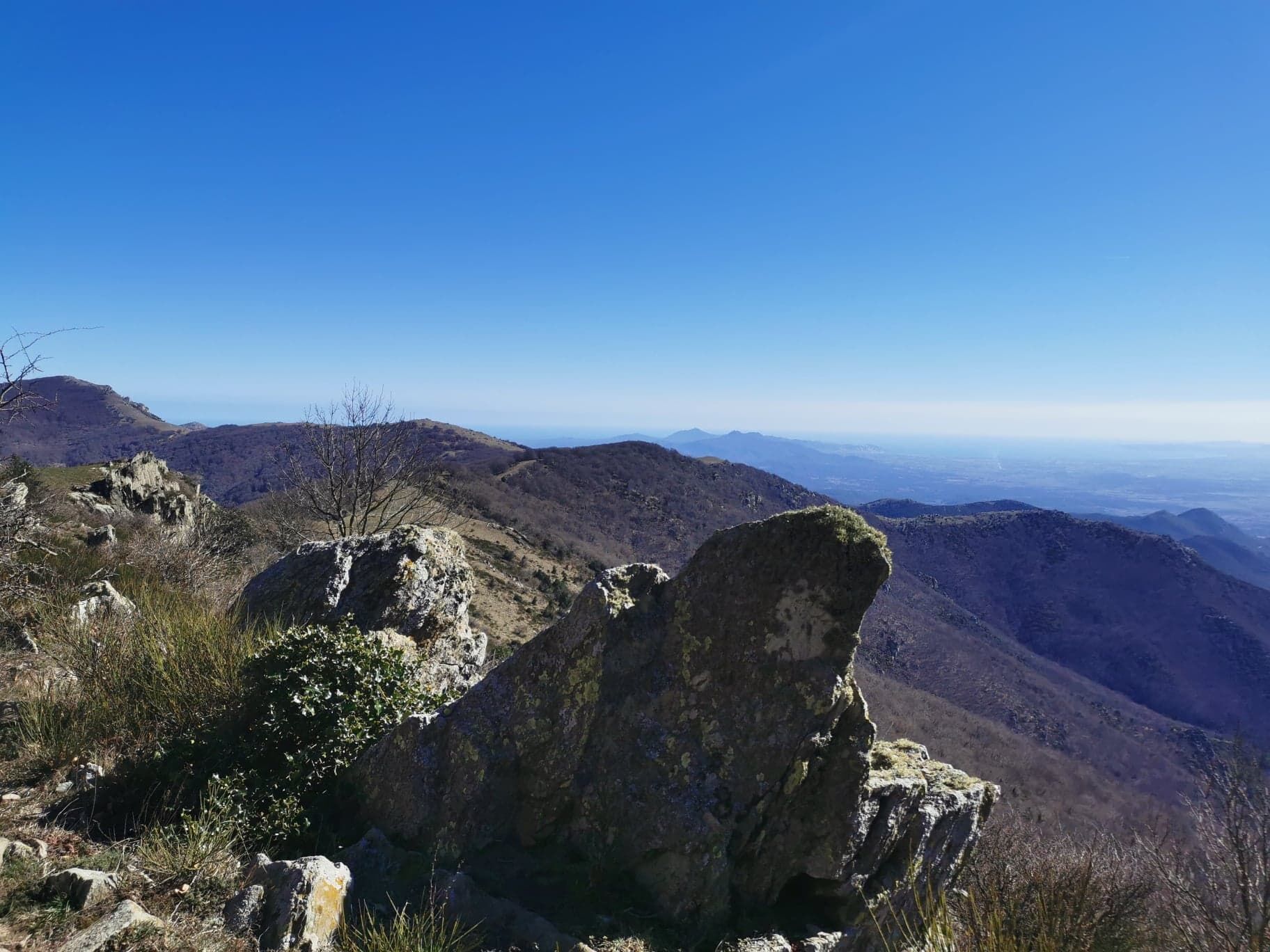
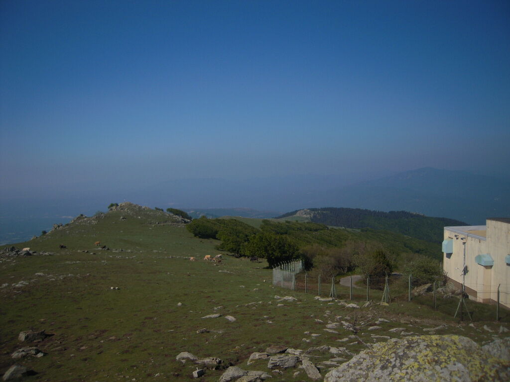
This hike offers spectacular panoramas on the Mediterranean coast to the East, the plain of Roussillon to the North, Catalonia to the South and Canigou to the West
Go to the church in the old village. Take the street that goes up in front of the gate of the church. This street turns into a path.
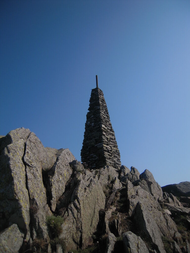
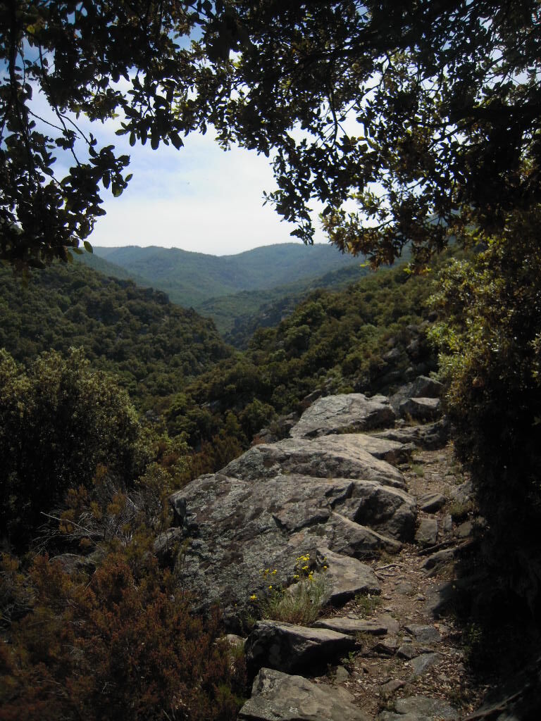
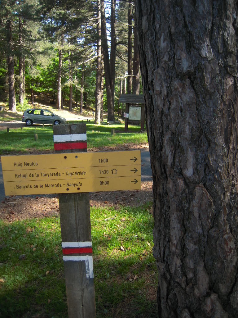
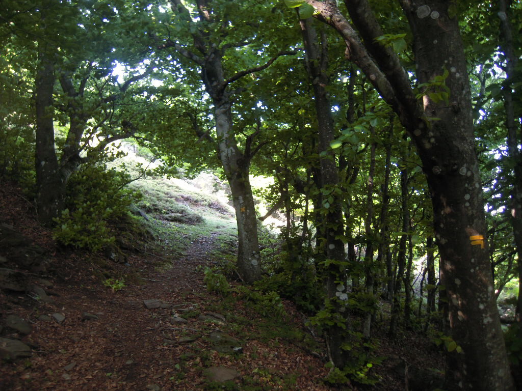
Go up to a fork and go right. At the basin, continue straight along the irrigation canal until you hear the river below. At the fork, go left on the trail that climbs through the vegetation.At the next fork go right. New intersection : go left to reach the trail. Climb and take the path on the left after the old house in ruins At the next junction, continue on the left and at the fork take the path straight on. At the next fork go left. A little further, look at the dolmen «Balma del Moro» (50 meters) on the left. Continue the ascent to the Neoulous summit. The path leads to a forest trail. traverse and continue to climb on the path mountain path. Join a new forest trail. Follow it on the right for 600 meters. Take left on the path until the Néoulous summit (1256 mètres). The Albères summit is marked by « The Manel Tower», made of stone. Go down west following the GR10 on the ridge. On left, a barrier gives access to a snow well (200 meters). Go down to the Col de l’Ouillat. At the col, turn right on the asphalt road and continue until the fount « Reina de les Fonts ». Turn left on the path that descends rapidly under the beeches and chestnut trees. It crosses the track several times. Arriving about 450 meters above sea level, cross the river of laroque by a ford then 200 meters further pass next an ice well. Continue to descend and cross another ford. Arriving at the same fork that was taken at departure, continue straight on and return on the path in the opposite direction.Áno
Easy access, Take the direction of Laroque.
Bus 2€
Hikers' parking at the stadium
You enjoy nature, You like it, take care of it...
Along the hiking trail, rubbish bins are at your disposal.
Every month over tens of thousands of hikers and walkers visit this exceptional site. Please do not litter and use the rubbish bins (glass, plastic, rubbish etc...). Also, please dispose of any litter you might find along the trail.
Help keep this site clean with simple yet essential gestures. Lets give back to nature what nature gave us.
Aktivity počas prehliadky


Obľúbené výlety v okolí
-
4,5
The "Casot d'en Lic"
strednáTuristika 5,40 km -
The Massane tower
strednáTuristika 12,4 km -
4,0
Les Balcons d'Argelès (mountain bike)
strednáMountainbike 19,4 km -
Hauts des Forts Trail (Long Version)
strednáTrailrunning 21,8 km -
From Lavail to Valmy via the Tour de la Massane
strednáTuristika 10,3 km -
Loop of Notre Dame de la Salette
strednáTuristika 9,50 km -
The balconies of Sorède from Lavail
ťažkéTuristika 22,6 km -
Top of the forts - The small course
strednáTuristika 12,4 km -
From Château de Valmy to Château Royal via the Madeloc Tower
ťažkéTuristika 22,6 km -
Trail the tops of the forts (short version)
strednáTrailrunning 12,4 km
Turistika a stopovanie


Nenechajte si ujsť ponuky a inšpiráciu na ďalšiu dovolenku
Vaša e-mailová adresa bol pridaný do poštového zoznamu.