
MTB route no.25 Le Bonnan
ťažké
Získajte túto prehliadku v mobilnom telefóne
MTB route no.25 Le Bonnan
ťažké
Mountainbike
18,05
km
Naskenujte kód QR a spustite navigáciu v aplikácii bergfex


Turistika a stopovanie





MTB route no.25 Le Bonnan
ťažké
Vzdialenosť
18,05
km
Trvanie
02:05
h
Ascent
374
hm
Hladina mora
134 -
457
m
Stiahnutie skladby
MTB route no.25 Le Bonnan
ťažké
Mountainbike
18,05
km
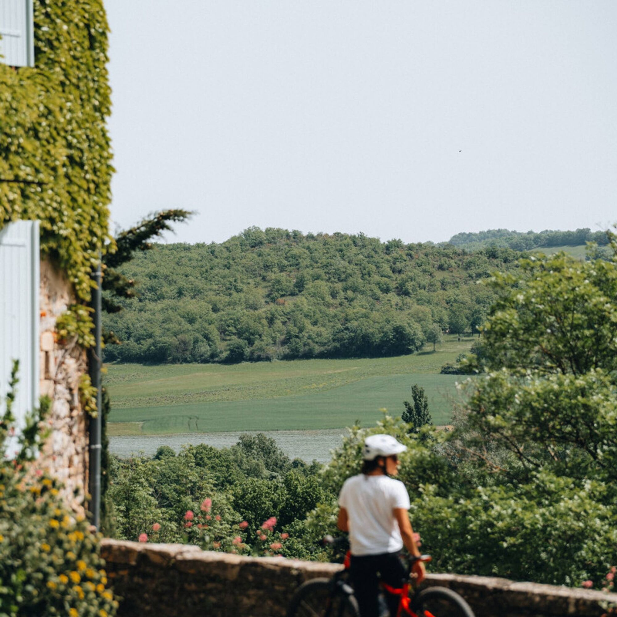
Starting from Roussayrolles, you will discover the water source of the "Mère de Dieu" fountain and the Grézelles forest, as well as beautiful panoramas from the heights of Marnaves.
You will descend via...
Opis
Starting from Roussayrolles, you will discover the water source of the "Mère de Dieu" fountain and the Grézelles forest, as well as beautiful panoramas from the heights of Marnaves.
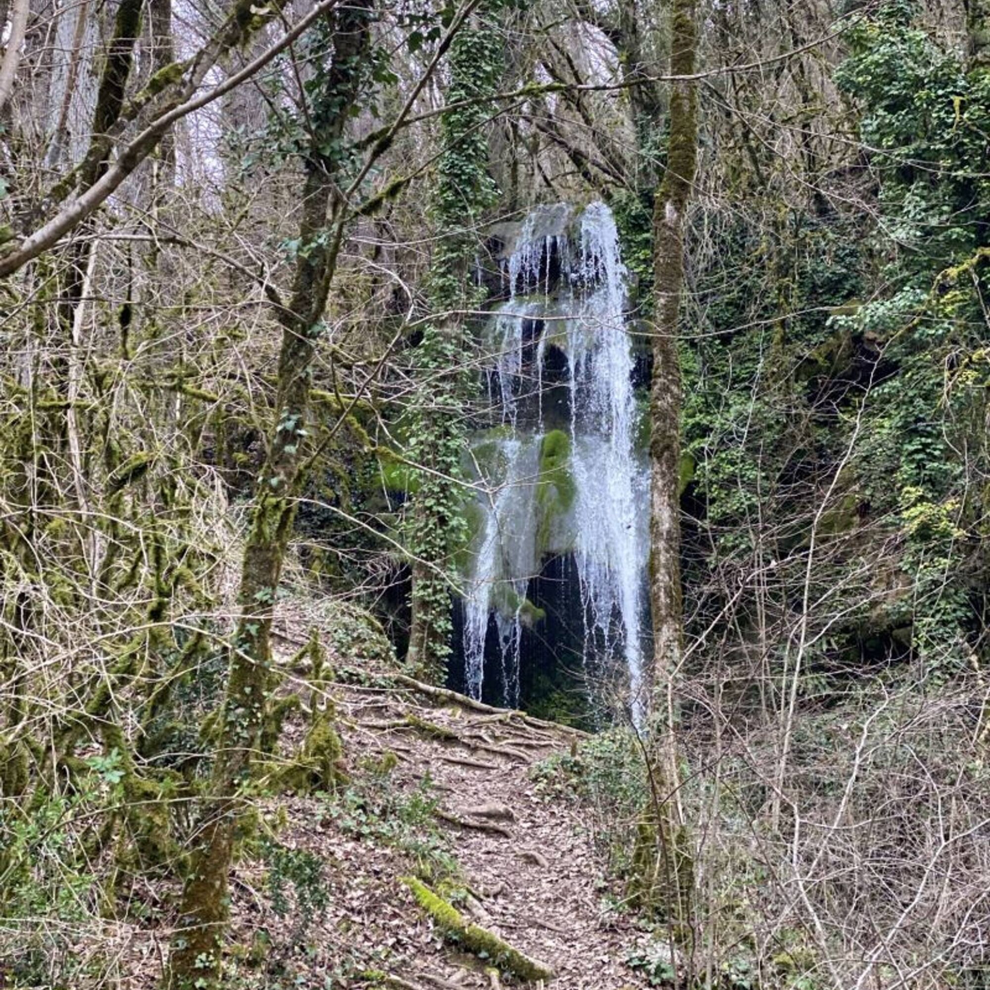
You will descend via the Causse trails to the village of Milhars, where you can eat or refresh yourself at the bar-restaurant "Le Repère" before heading towards the beautiful Bonnan Valley, a "Sensitive Natural Area" in the Tarn department. You can admire the magnificent petrified waterfall and its tufa formations before ascending a rocky path back to the village of Roussayrolles.
You will descend via the Causse trails to the village of Milhars, where you can eat or refresh yourself at the bar-restaurant "Le Repère" before heading towards the beautiful Bonnan Valley, a "Sensitive Natural Area" in the Tarn department. You can admire the magnificent petrified waterfall and its tufa formations before ascending a rocky path back to the village of Roussayrolles.
Trasa
Roussayrolles
(415 m)
Dedina
0,0 km
Lescoulie
(393 m)
Koridor/terén
4,5 km
Milhars
(138 m)
Dedina
8,0 km
Cascade Pétrifiante de Bonnan
(194 m)
Vodopád
11,9 km
Caumonds
(363 m)
Koridor/terén
14,9 km
Roussayrolles
(415 m)
Dedina
18,0 km
Trasa
MTB route no.25 Le Bonnan
ťažké
Mountainbike
18,05
km
Roussayrolles
(415 m)
Dedina
0,0 km
Lescoulie
(393 m)
Koridor/terén
4,5 km
Milhars
(138 m)
Dedina
8,0 km
Cascade Pétrifiante de Bonnan
(194 m)
Vodopád
11,9 km
Caumonds
(363 m)
Koridor/terén
14,9 km
Roussayrolles
(415 m)
Dedina
18,0 km


Informácie o trase
Trasa
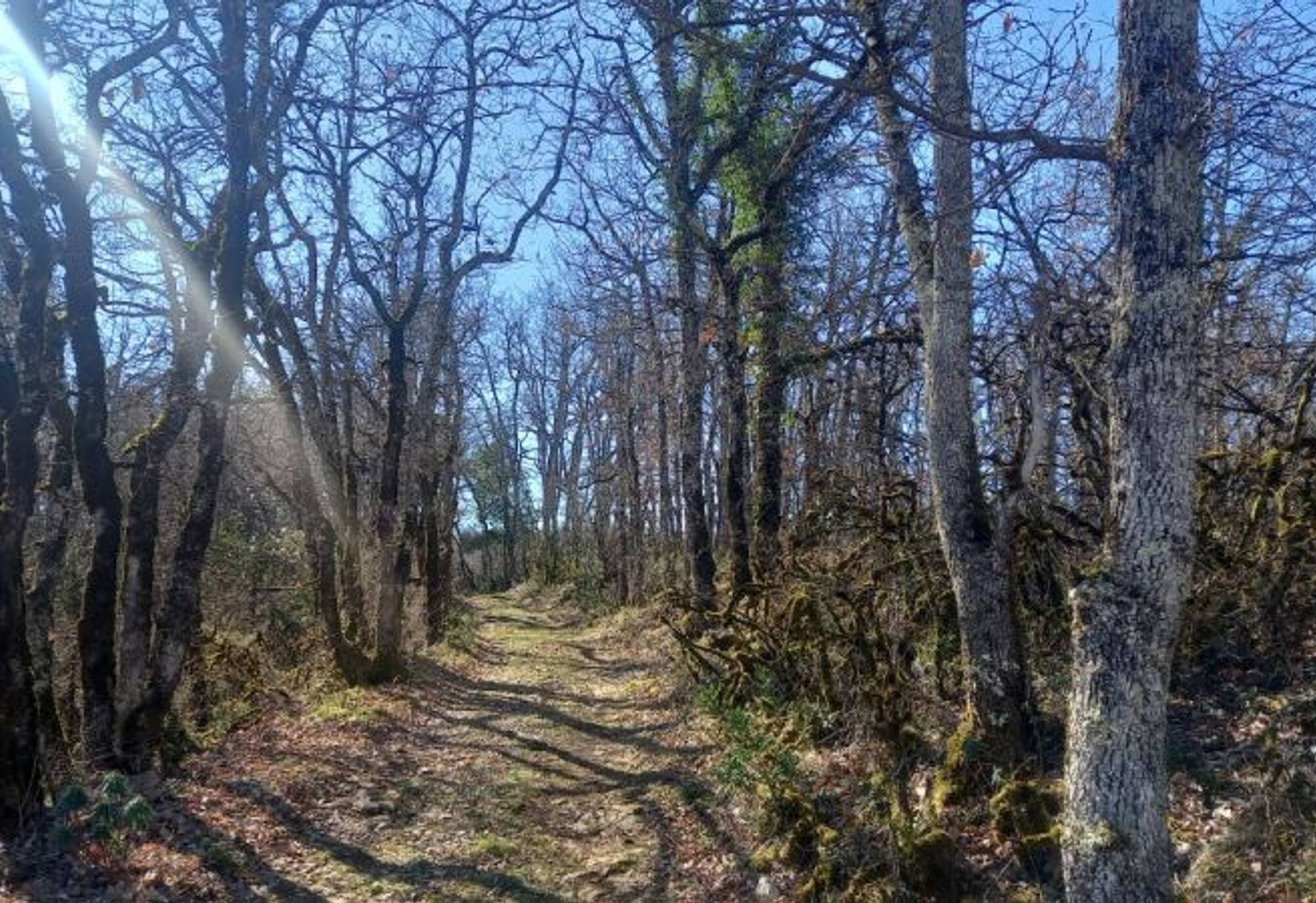
From the Coustou parking lot, take the path leading to the "Mère de Dieu" spring before crossing the Grézelles forest and emerging onto the Pech de Marnaves.
Descend towards Milhars via the trails. In the village, follow the path that runs alongside the Cérou to the La Garenne mill before ascending through the Bonnan Valley. Follow the Bonnan stream, and you will see the tufa waterfall on your right.
Next, ascend the path to the place called "Fourcou." Turn right towards the Pas de la Clède and climb back to Roussayrolles via a rocky path. Finally, return to the village, passing the small cross of Nougayrols and the Foun Naouto crossroads with its stone picnic table and weeping willow.
Descend towards Milhars via the trails. In the village, follow the path that runs alongside the Cérou to the La Garenne mill before ascending through the Bonnan Valley. Follow the Bonnan stream, and you will see the tufa waterfall on your right.
Next, ascend the path to the place called "Fourcou." Turn right towards the Pas de la Clède and climb back to Roussayrolles via a rocky path. Finally, return to the village, passing the small cross of Nougayrols and the Foun Naouto crossroads with its stone picnic table and weeping willow.
Ďalšie informácie a tipy
Ďalšie informácie
Intermediate
Zatiaľ žiadne recenzie
Obľúbené výlety v okolí
-
5,0
Chemin de la Vère au Saint-Hussou
strednáTuristika 14,2 km -
Maraval Trail - Short Variant
strednáTuristika 5,02 km -
Sentier des dunes de Maraval aux Touardes
strednáTuristika 8,57 km -
The Suquets of Penne
svetloTuristika 10,3 km -
Grain of salt path (Chemin du grain de sel)
strednáTuristika 10,8 km -
From the Cérou to the Aveyron
strednáTuristika 10,2 km -
Sentier de découverte de Les Cabannes "Sur les traces des bâtisseurs"
svetloTuristika 2,63 km -
Téroundel path (Sentier du Téroundel)
svetloTuristika 2,58 km -
Cordes heritage trail
strednáTuristika 14,8 km -
Circuit VTT n°27 Bonnan Vert
svetloMountainbike 8,18 km
Turistika a stopovanie

Viac ako 550.000 návrhov výletov, podrobné mapy a intuitívny plánovač trás robia z aplikácie povinnú výbavu pre všetkých nadšencov prírody.

Nenechajte si ujsť ponuky a inšpiráciu na ďalšiu dovolenku
Prihlásiť sa k odberu noviniek
Chyba
Vyskytla sa chyba. Prosím, skúste to znova.
Ďakujeme za vašu registráciu
Vaša e-mailová adresa bol pridaný do poštového zoznamu.
Zájazdy po celej Európe
Rakúsko
Švajčiarsko
Nemecko
Taliansko
Slovinsko
Francúzsko
Holandsko
Belgicko
Poľsko
Lichtenštajnsko
Česko
Slovensko
španielsko
Hrvaška
Bosna a Hercegovina
Luxembursko
Andorra
Portugalsko
Island
Spojené kráľovstvo
Írsko
Grécko
Albánsko
Severné Macedónsko
Malta
Nórsko
Čierna Hora
Moldavsko
Kosovo
Maďarsko
San Maríno
Rumunsko
Estónsko
Lotyšsko
Bielorusko
Cyprus
Litva
Srbsko
Bulharsko
Monako
Dánsko
Švédsko
Fínsko





