



Lectoure - Les Galis

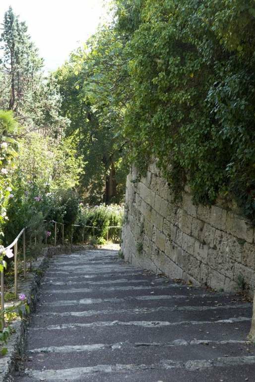
To discover along the route:
- The Corhaut Tower
- Rage au Chien Fountain
- Saint-Michel Fountain
- The Brescon hall (former fortified house).
- The Chapel of St-Mamet.
- The hamlet of Petit Vaucluse
-...
To discover along the route:
- The Corhaut Tower
- Rage au Chien Fountain
- Saint-Michel Fountain
- The Brescon hall (former fortified house).
- The Chapel of St-Mamet.
- The hamlet of Petit Vaucluse
- The Pitrac hall (former fortified house) and its medieval tower.
- From Abat: viewpoint on Plieux castle, Gachepouy castle, and Peyronelle farm (former hospice on the St. James path).
- Beautiful rural residences from the 17th, 18th, and 19th centuries in Samatan, Hustarrau, Comarens, and La Coustère.

Áno
In case of emergency, dial 112
To learn more about the destination, visit our site Pays Portes de Gascogne
Obľúbené výlety v okolí
-
4,5
Jakobsweg
strednáTuristika 34,0 km -
Vélo Pour Tous à Lectoure
svetloCyklistika 8,60 km -
Bike ride in Lectourois – Lectoure
ťažkéCyklistika 88,6 km -
Lectoure - In the footsteps of the pilgrims
strednáMountainbike 34,7 km -
La Romieu - hills of petit Auvignon
strednáMountainbike 23,3 km -
Entre Arratz et Auroue en coteaux de Lomagne
strednáCyklistika 30,7 km -
Lectoure - medieval Lomagne
strednáMountainbike 19,6 km -
Saint-Clar - The Auroue loop
svetloMountainbike 21,2 km -
La Romieu - En passant par l'Auvignon
svetloMountainbike 13,3 km -
Fleurance - Moulin du Roy
svetloMountainbike 9,76 km
Turistika a stopovanie


Nenechajte si ujsť ponuky a inšpiráciu na ďalšiu dovolenku
Vaša e-mailová adresa bol pridaný do poštového zoznamu.


