


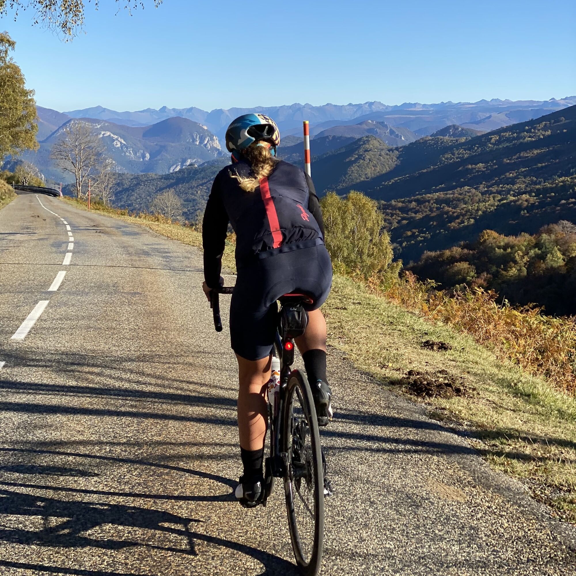
The Péguère wall - circuit n°9
Úroveň náročnosti: 3
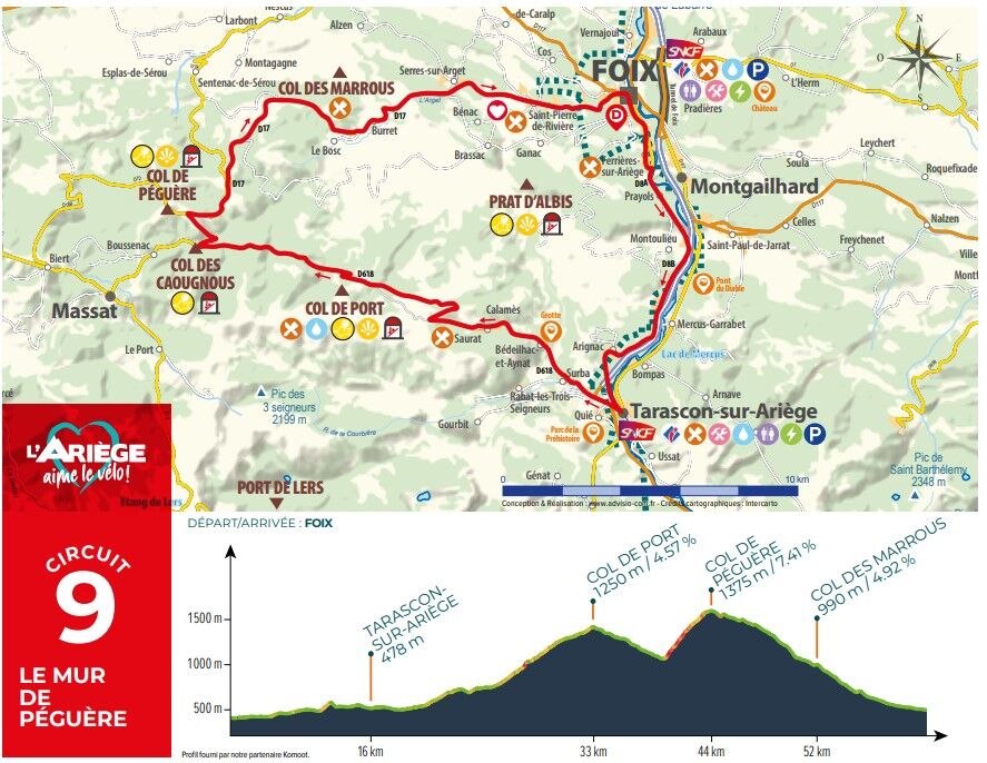
From Foix to Tarascon-sur-Ariège From the Foix Tourist Office, head for Ferrières-sur-Ariège on the D8A. Continue on the D8B through Arignac to Tarascon-sur-Ariège. From Tarascon-sur-Ariège to Col de Péguère...
At the Tarascon-sur-Ariège traffic circle, take the first exit onto Route de Saurat, then at the next traffic circle go straight on towards Surba. Then continue on the D618 until you reach the Col de Port.
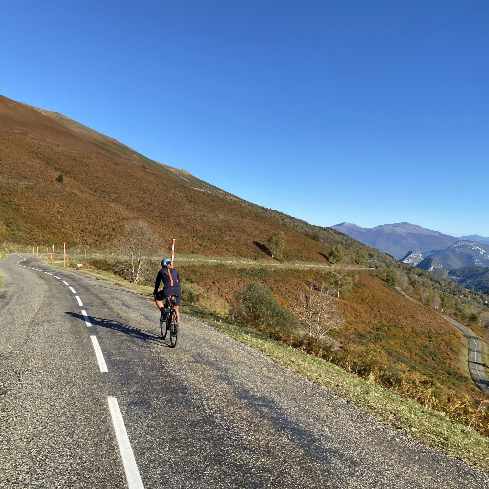
At Boussenac, turn right onto the D17 to reach the Col de Péguère. From Col de Péguère to Foix From Col de Péguère, continue on the D17 towards Le Bosc. You will pass through Saint-Pierre de Rivière before reaching Foix.

Áno
In case of emergency, dial 112
Think about carpooling
Use public transport to get around
Parking close to departure point
3
Obľúbené výlety v okolí
-
Les terrasses du Pech
svetloTuristika 3,22 km -
Cyclosport route 11 - The Ariège cycloroute - Stage 1: from Foix to Castillon-en-Couserans
ťažkéCestný bicykel 86,0 km -
Randonnée d'Uscla
svetloTuristika 5,95 km -
Cyclosport route 10 - The three bumps near Foix
ťažkéCestný bicykel 78,8 km -
Le chemin des 3 cascades
strednáTuristika 7,20 km -
Cyclosport circuit 7 - The five passes
ťažkéCestný bicykel 104,2 km -
Cyclotour de l'Ariège in 5 days
ťažkéCestný bicykel 441,0 km -
Saint-Sauveur Walk
svetloTuristika 3,17 km -
Hors catégorie stage 100% Ariège tour de France - circuit n°12
ťažkéCestný bicykel 103,7 km -
Circuit cyclotourisme - Au tour du pic des trois seigneurs
ťažkéCestný bicykel 74,2 km

Turistika a stopovanie


Nenechajte si ujsť ponuky a inšpiráciu na ďalšiu dovolenku
Vaša e-mailová adresa bol pridaný do poštového zoznamu.