







Hiking: The Candesoubre stream
The lively waters of the Candesoubre flow into the Thoré, after descending the Montagne Noire over 600 meters of elevation. This abundant energy used to power the mechanisms of many mills, now replaced...
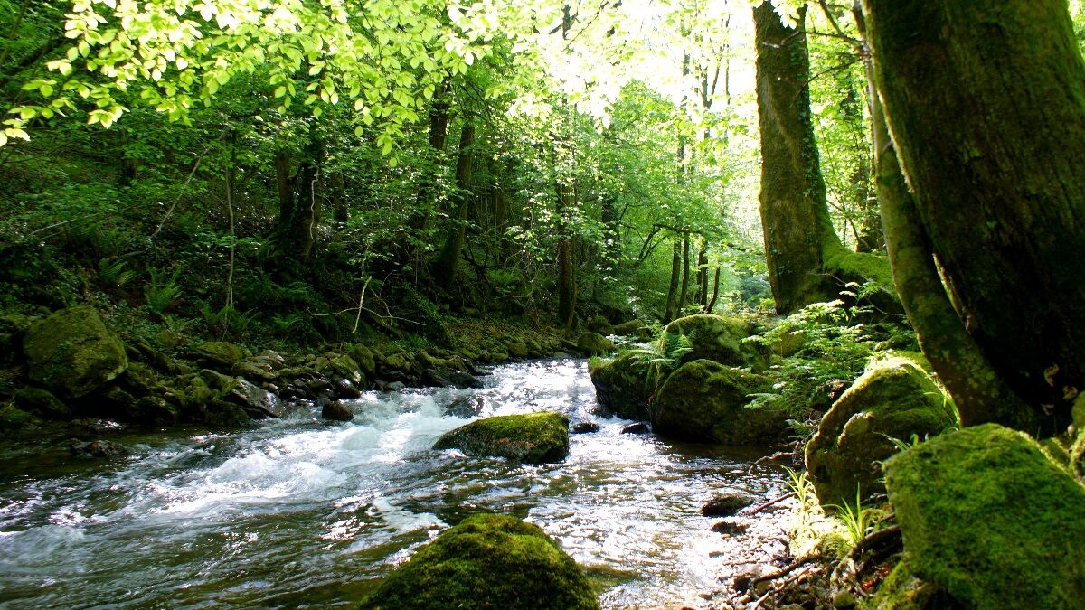
The lively waters of the Candesoubre flow into the Thoré, after descending the Montagne Noire over 600 meters of elevation. This abundant energy used to power the mechanisms of many mills, now replaced by a few micro-hydroelectric plants. The route first follows a shaded valley where nature rules supreme. The charming Candesoubre stream runs from pools to rapids among the rocks, in a cool forest atmosphere. Crossing wild ravines, you encounter small tributaries that add their murmur to the base sound of the stream. After the hamlet of Gourgne, the path escapes onto the cliff face and follows the Candesoubre stream to reach the hamlet of Rabasset.


An error on this sheet? Write to the owner mentioning these references:
Sheet name: Le ruisseau de Candesoubre | Sheet ID: 845779 | URL (link) of this Outdooractive page.
Obľúbené výlety v okolí
-
5,0
Les Escaunelles
svetloTuristika 6,87 km -
Peyremaux rock
ťažkéTuristika 13,3 km -
CIT'ART HIKE OF THE HAUTS DE FERRALS
strednáTuristika 15,5 km -
CYCLE LOOP NO.12 - THE ASSAULT ON THE HAUT-LANGUEDOC FROM MINERVE
svetloCyklistika 37,3 km -
OENORANDO® LE CRU LA LIVINIERE
svetloTuristika 11,5 km -
Hiking: Les clairières de Sales
svetloTuristika 8,46 km -
LE SENTIER DES MEULIERES
svetloTuristika 1,02 km -
VÉLOCCITANIE, FROM THE NAUROUZE THRESHOLD TO BÉZIERS
strednáCyklistika 236,6 km -
HIKING FÉLINES MINERVOIS VENTAJOU
strednáTuristika 13,7 km -
Hiking: The Wibault route
ťažkéTuristika 9,26 km
Turistika a stopovanie


Nenechajte si ujsť ponuky a inšpiráciu na ďalšiu dovolenku
Vaša e-mailová adresa bol pridaný do poštového zoznamu.





