







VÉLOCCITANIE, FROM THE NAUROUZE THRESHOLD TO BÉZIERS

Take your time to discover new territories, new landscapes, ride through nature in complete peace and safety - welcome to La Véloccitanie! This new cycle route links the Canal du Midi, the farmlands of...
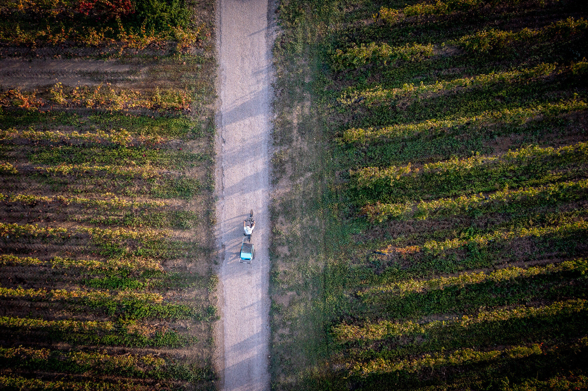
Take your time to discover new territories, new landscapes, ride through nature in complete peace and safety - welcome to La Véloccitanie! This new cycle route links the Canal du Midi, the farmlands of the Lauragais, the landscapes of the Parc naturel régional du Haut-Languedoc (vineyards, cliffs, forests, rivers, meadows...) and, via the PassaPaïs, the wine-growing plains of many of Hérault's renowned appellations. When all is said and done, you'll be cycling more than 200 kilometers from the Seuil de Naurouze to Béziers, discovering a wide variety of natural and cultural heritages, and enjoying a breath of nature on two wheels. Take note of the simple pleasures to be shared along the way, according to your mood. The Véloccitanie is a cycling itinerary of small pleasures!


1
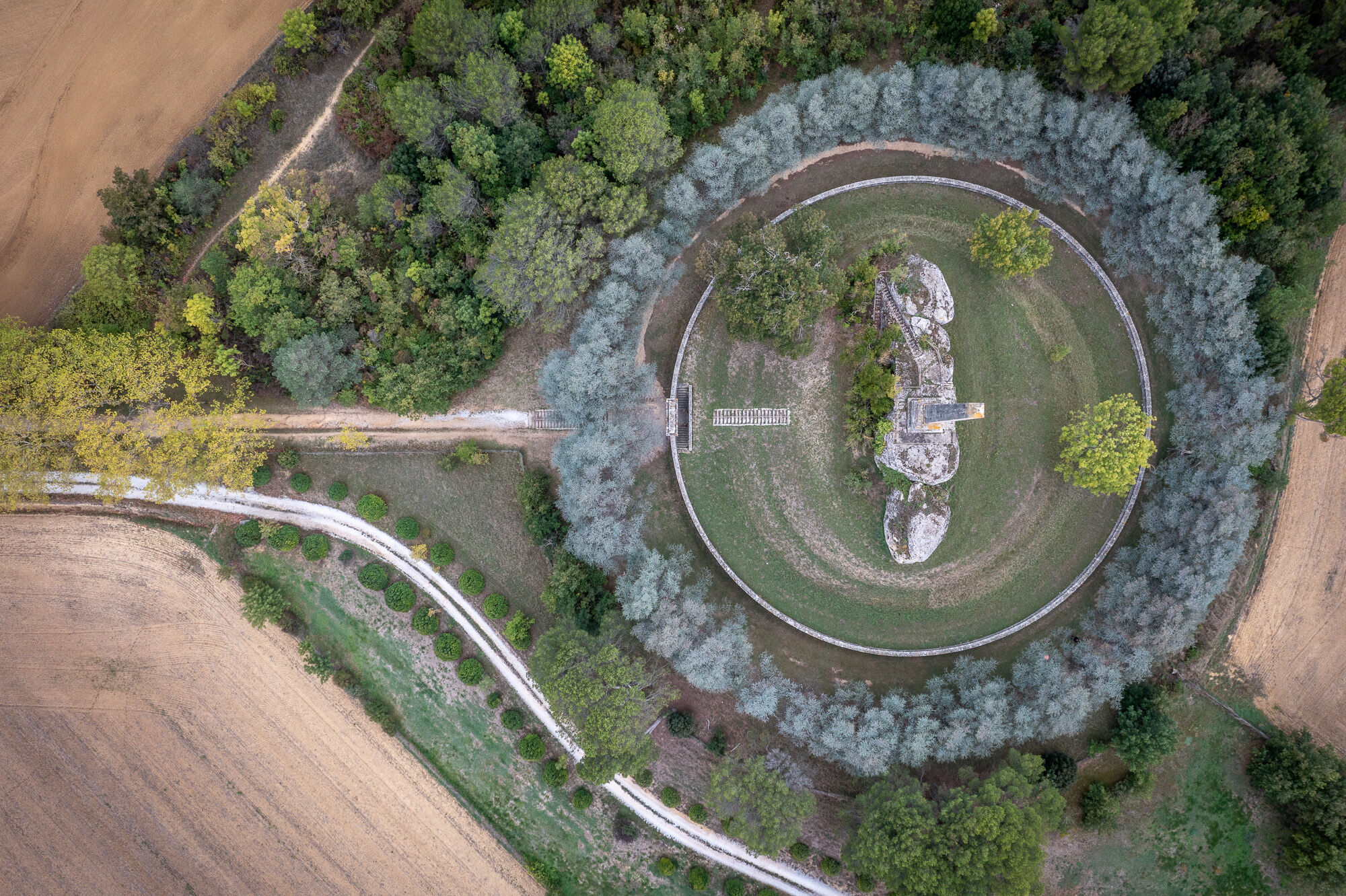
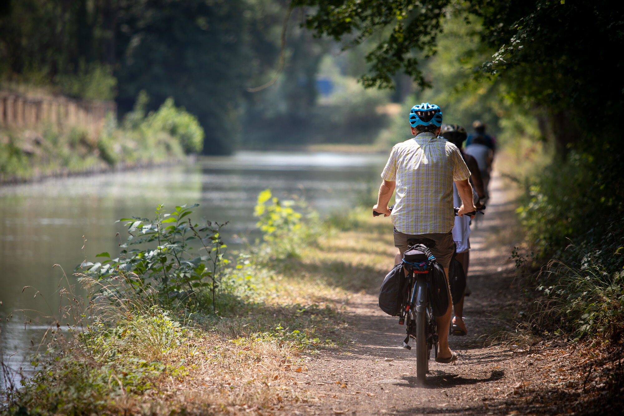
Pedal your way back to the origins of the Canal du Midi. Follow in the footsteps of Pierre-Paul Riquet and discover the countless hydraulic structures built at the time to guide the waters of the Montagne Noire, and give life to the Canal du Midi. A glimpse of Riquet's inventiveness and scientific rigor, the scale of the project and the skills of the workers. Over some fifty kilometers, the history of hydraulic engineering is laid bare before your eyes. Rows of plane trees even provide shade, a laudable gesture for future generations! If you need to, stop off for a refreshing swim in one of the reservoirs along the Rigole de la Plaine, or take in the breathtaking views over the fields and hilltop villages typical of the Lauragais region. Savor these moments, these small pleasures along the water and history.
2
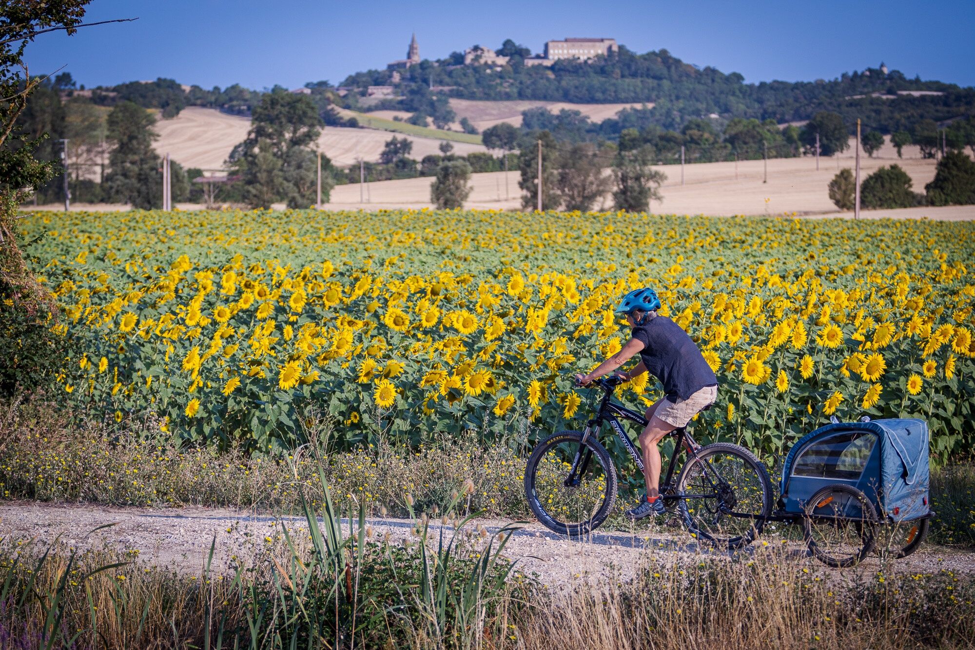
Between the Pays d'Art and the Pays de Cocagne, from Revel to Castres, your wheels will be turning on the plains of the Lauragais, the region's cornucopia where, in flowering season, the fields are covered with ears of corn, sunflowers and poppies. A very agricultural and cereal-growing facet of Véloccitanie. A mosaic of colors you'll find in Dom Robert's tapestries at the Abbaye-école de Sorèze, on the polychrome galleries surrounding the medieval market hall in the bastide town of Revel, home to one of France's finest markets. Or the colorful facades of the "Little Venice of the Haut-Languedoc", not forgetting the Goya Museum in Castres. The Montagne Noire (Black Mountain) - whose waters feed the Canal du Midi - is your guide along the small, undulating roads of numerous villages, where, after a few climbs, it's good to stop and admire the scenery and sample some local delicacies. Savor these moments, these little pleasures of mixed culture in the fields and art in the cities.
3
From Castres to Mazamet by bike, with the Montagne Noire as a backdrop, following the rivers, crossing the causse, glimpsing the foliage and passing sumptuous buildings typical of the region. You're reading pages from the history of this region. Towns that took advantage of nature to develop, using water for wool, leather, textiles and dyeing, wide-open spaces for agriculture, forests as a resource of raw materials and steep mountains as a refuge. Just outside Castres, a surprising site awaits you: the Causse de Caucalières et Labruguière, a semi-desert limestone plateau. Atypical from a geological and natural point of view, it's home to a number of species of bats and insects of conservation concern. If you look up, you may even catch a glimpse of a short-toed eagle that has just caught its lunch - a snake, its favorite food!
4
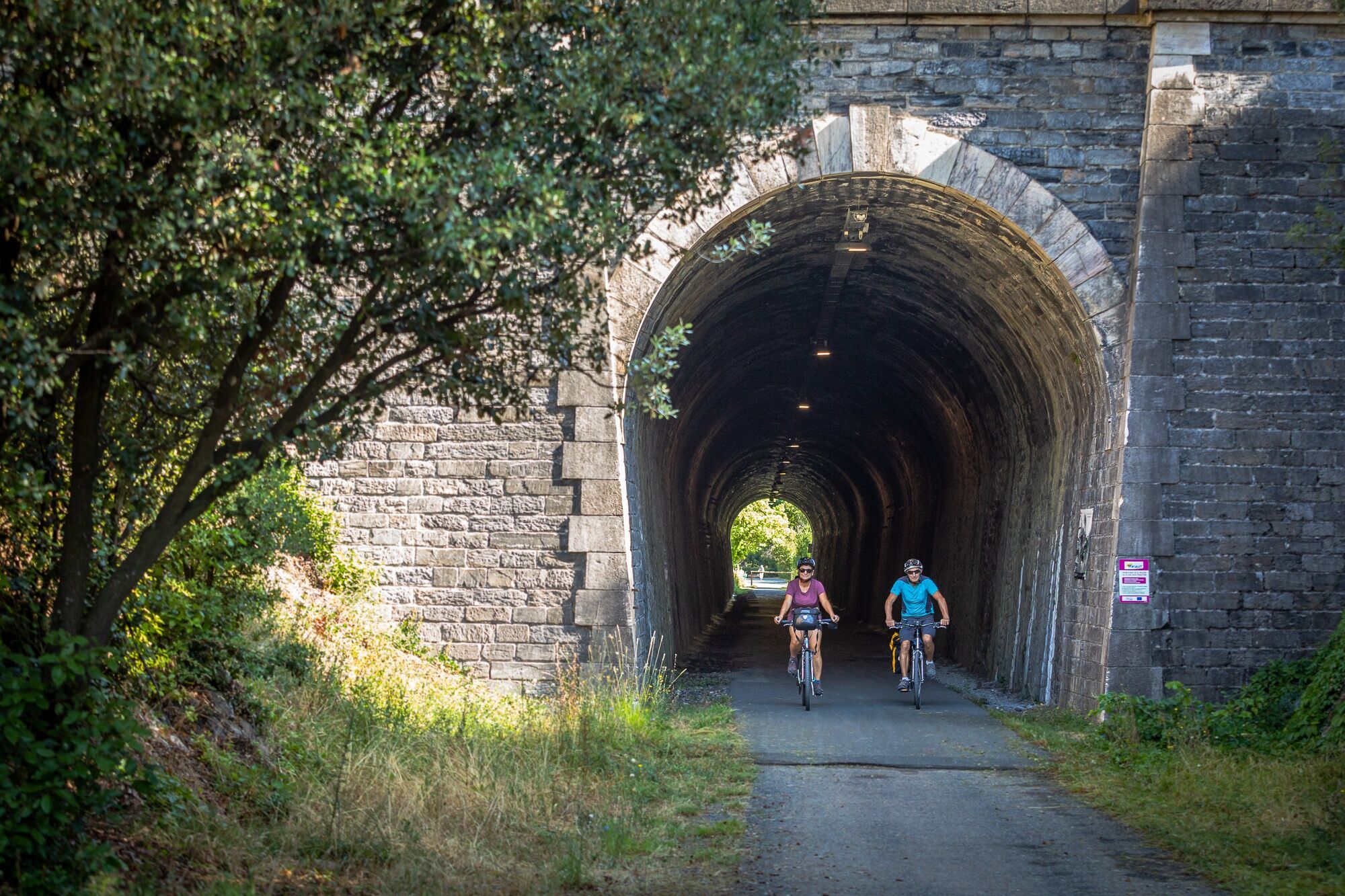
From Mazamet, nestled on the edge of the Montagne Noire, you're now on the PassaPaïs, the green way of the Haut-Languedoc. Before you set off, don't miss a detour to the footbridge overlooking the Arnette valley and the medieval village of Hautpoul. This cycling getaway takes place in the heart of a valley marked by the Thoré river. The green route takes you through rolling pastures, charming villages and towering mountains. The tunnel under the Col de la Fenille takes you from the "oceanic" Tarn countryside to the Mediterranean basin of the Hérault. At the end of the stage, to appreciate the geological richness of the area, a visit to the grotte de la fileuse de verre (glass spinner's cave) is a good way to stop off before arriving in Saint-Pons-de-Thomières.
5
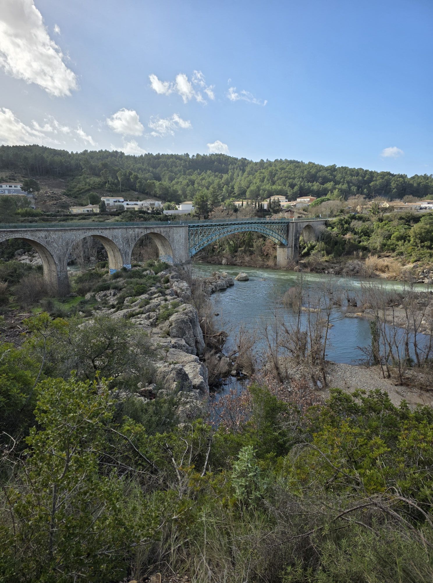
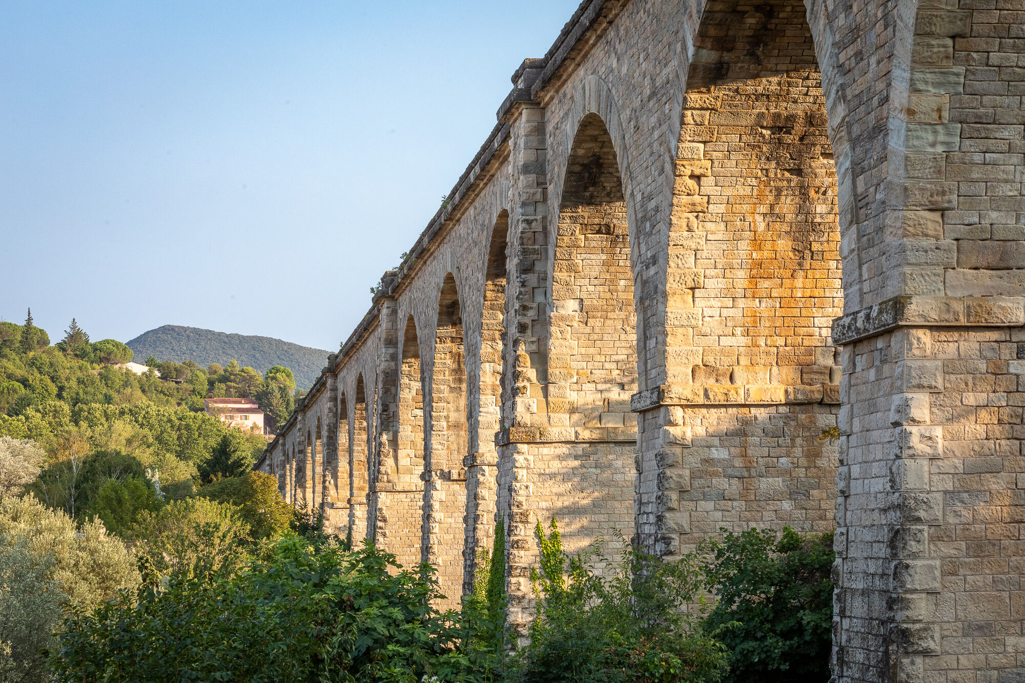
A section of La Véloccitanie that still follows the PassaPaïs, this stage unfolds with the Jaur and Orb rivers as its common thread. The Somail mountains and the Caroux massif dominate the route as we cross. After a remarkable passage through Olargues, nestled on its rocky knoll and listed as one of France's "most beautiful villages", the Eiffel bridge will take you over the valley to appreciate its wilderness, heather moors and varied rock formations. For the more determined, a detour to the Gorges d'Héric and its village perched in the heights will enchant you with natural pools and splendid panoramas. After winding through numerous bridges and tunnels, the stage ends with an arrival in Bédarieux along the banks of the Orb.
6
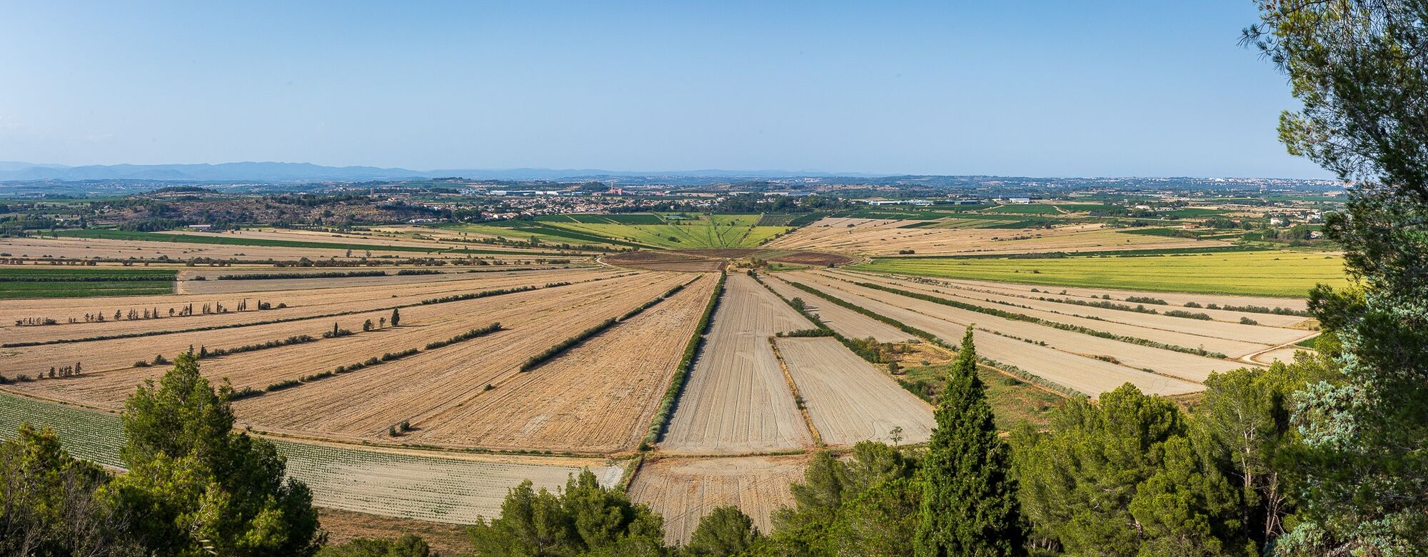
Bédarieux marks the end of the PassaPaïs. The mountainous landscapes have given way to the gentler landscapes of the Avant-Monts, where vineyards stretch as far as the eye can see; the sea is a distant promise for the cyclist. You're entering a region rich in terroir and know-how handed down from generation to generation, with today's vineyards boasting renowned appellations. Enchanting landscapes bear witness to the work of men and their ingenuity, notably in the construction of dry-stone walls and capitelles. Even more ancient traces await you a little further on. The Oppidum d'Ensérune, an ancient Elisian and later Gallic village, and the Etang de Montady, a starlit dry pond. As for the genius of Pierre-Paul Riquet, the Malpas Tunnel, dug under a hill to make way for the Canal du Midi, or the nine monumental locks at Fonseranes in Béziers, are proof. A final stop in Béziers to discover the splendid bourgeois buildings that bear witness to a flourishing industry, the Saint-Nazaire cathedral and the famous Béziers camel.
7
From the 9 locks at Fonseranes; access to the center of Béziers via a signposted footpath. A final stop in Béziers to discover the splendid bourgeois buildings that bear witness to a flourishing industry, the Saint-Nazaire cathedral and the famous Béziers camel. Connections with Le Canal des 2 mers à vélo and La Méditerranée à vélo/EuroVelo 8 in Béziers.
V80 Canal des 2 mers by bike
Voie verte" signs
Hérault à Vélo" road signs
https://www.francevelotourisme.com/itineraire/la-veloccitanie
Veloccitanie on France Vélo Tourisme
Hérault Vélo
Obľúbené výlety v okolí
-
4,0
HIKING IN THE TOWN OF MINERVE
strednáTuristika 8,79 km -
4,0
LEGENDS TRAIL HIKE
strednáTuristika 11,4 km -
TOUR DE LAC DE VESOLES HIKE
svetloTuristika 6,27 km -
Peyremaux rock
ťažkéTuristika 13,3 km -
MOUNTAIN BIKE PASSA MERIDIA - SOUTH BRANCH FROM BÉDARIEUX TO CARCASSONNE
strednáMountainbike 229,0 km -
HIDDEN HIKING TRAIL
strednáTuristika 17,5 km -
CIT'ART HIKE OF THE HAUTS DE FERRALS
strednáTuristika 15,5 km -
CYCLE LOOP NO.12 - THE ASSAULT ON THE HAUT-LANGUEDOC FROM MINERVE
svetloCyklistika 37,3 km -
CAR TOURISTIC ROUTE - THE LAKE ROUTE
svetloMotorrad 129,1 km -
Hiking: Les clairières de Sales
svetloTuristika 8,46 km
Turistika a stopovanie


Nenechajte si ujsť ponuky a inšpiráciu na ďalšiu dovolenku
Vaša e-mailová adresa bol pridaný do poštového zoznamu.





