


MOUNTAIN BIKE PASSA MERIDIA - SOUTH BRANCH FROM BÉDARIEUX TO CARCASSONNE
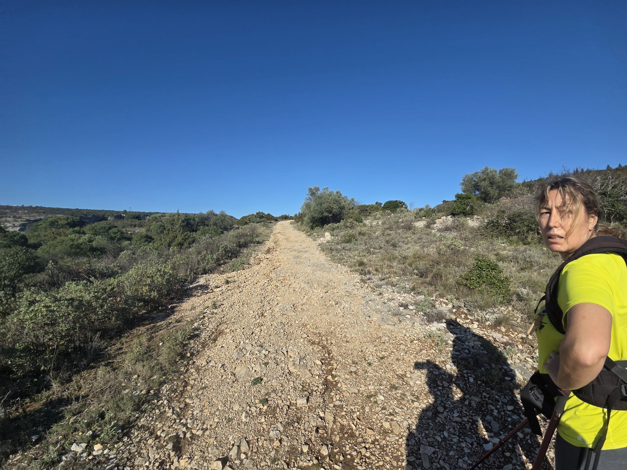
Fotografie našich používateľov
From the Bédarieux train station to the Minervois and on to the city of Carcassonne, the SOUTH branch of the Grande Traversée de l'Hérault à VTT via the Passa Meridia is a sporty itinerary that remains...
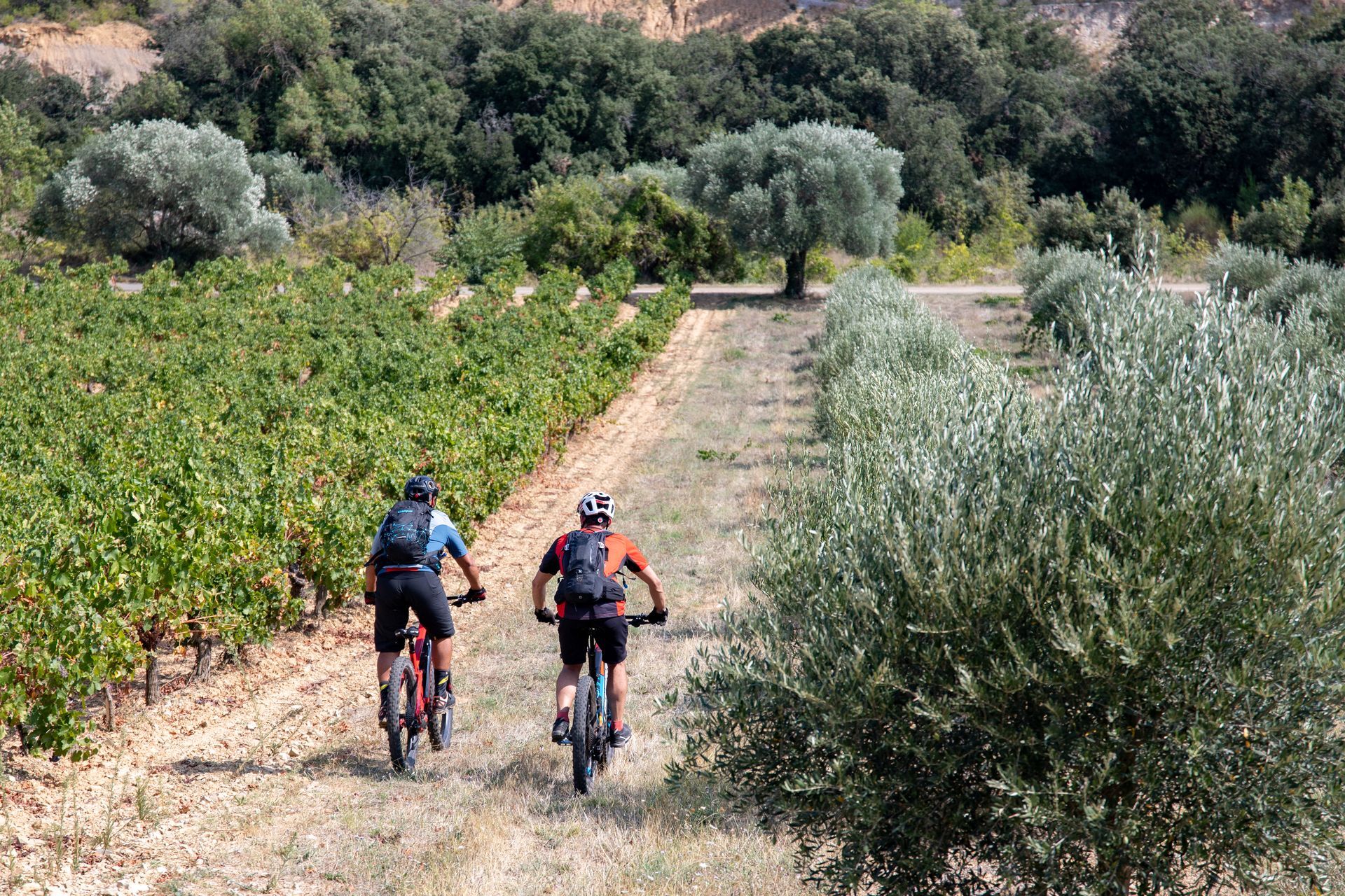
In just one week, taking the time to discover Roquebrun, Olargues, Minerve and Carcassonne, it's a surprising immersion between mountains, vineyards and garrigues.
On the program: - Orb and Jaur valleys and gorges - exceptional panoramas from passes and peaks - vineyards of Faugères, Saint-Chinian and Minervois - 2 of France's most beautiful villages, 2 Grands Sites, and the city of Carcassonne - the Canal du Midi on the final link to Carcassonne.


1
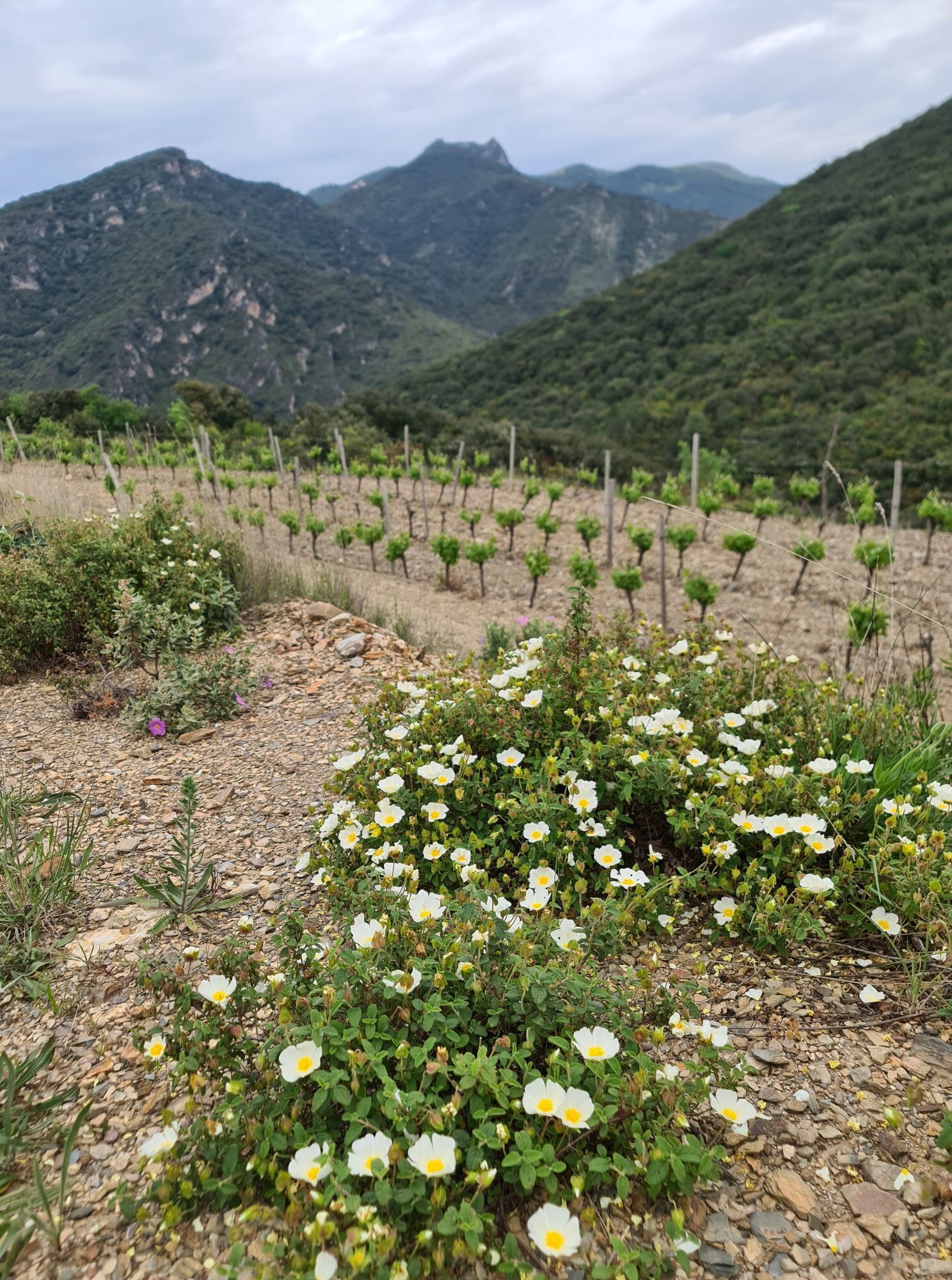
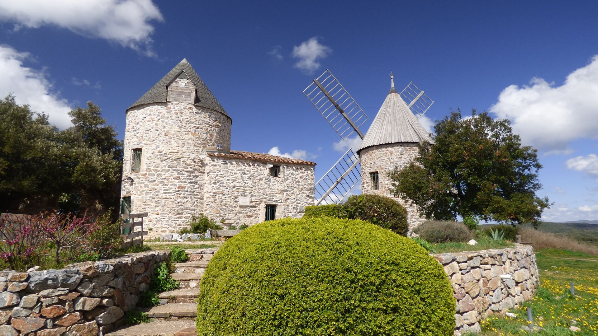
From the station, you can stroll through Bédarieux, taking in the right and left banks of the Orb as far as Mas Blanc: a nice, quiet warm-up before climbing towards Pic de Tantajo and turning south towards the Avants-Monts region. Spanning the wine-growing plain and the foothills of the Massif Central, this area offers a mosaic of heritage. Farming practices can be seen in the landscape: capitelles and dry-stone walls, mazets and winegrowers' houses. The ancestor of wind power welcomes you to Faugères, with its 16th-century Moulins des Trois Tours. A final stop in an exceptional vineyard and unique local products will make for a convivial and tasty stopover.
2
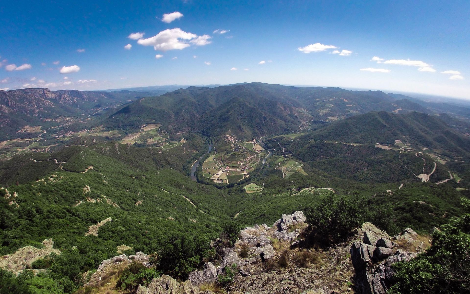
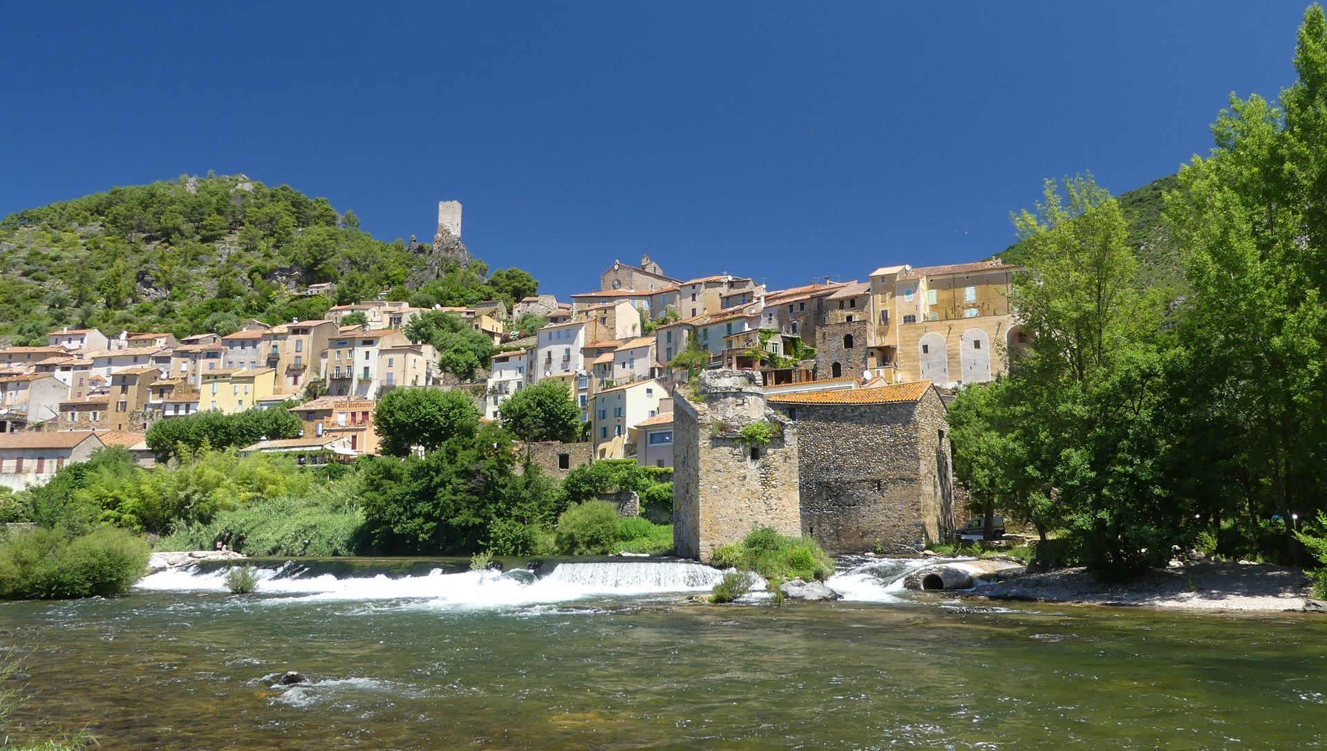
From Faugères to Aigues-Vives, from magnificent vineyards to characterful hamlets, you'll travel through 1,000 years of history. Languedoc relief and landscapes await you as you discover the Biterrois plain. From hamlet to hamlet, the stage becomes more athletic, offering remarkable landscapes and views of the Caroux and Espinouse mountains. A particular highlight is the descent to Roquebrun, the "Petit Nice" of the Hérault. An exceptional climate, unique Mediterranean flora, and the gentle banks of the Orb...
3
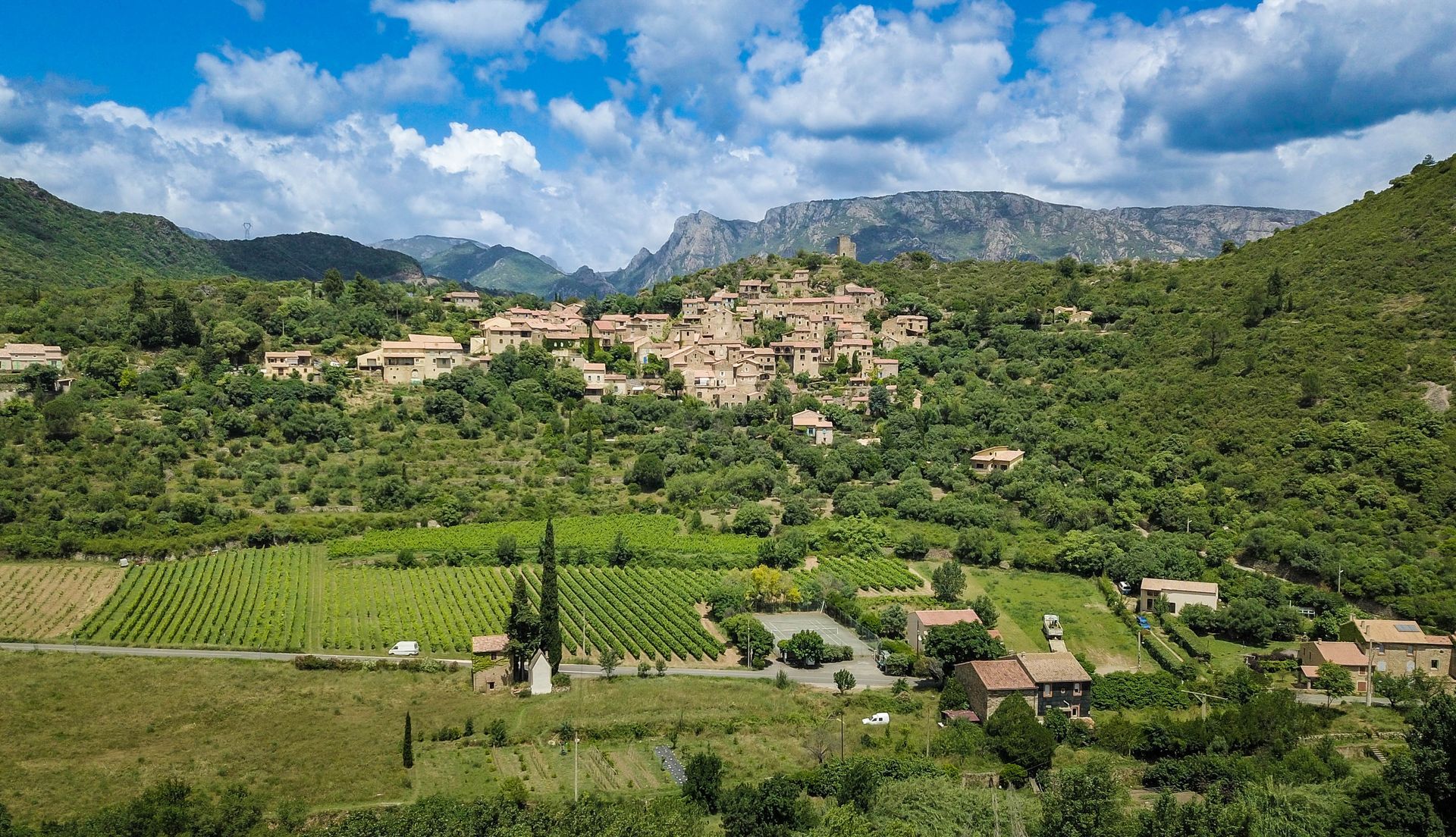
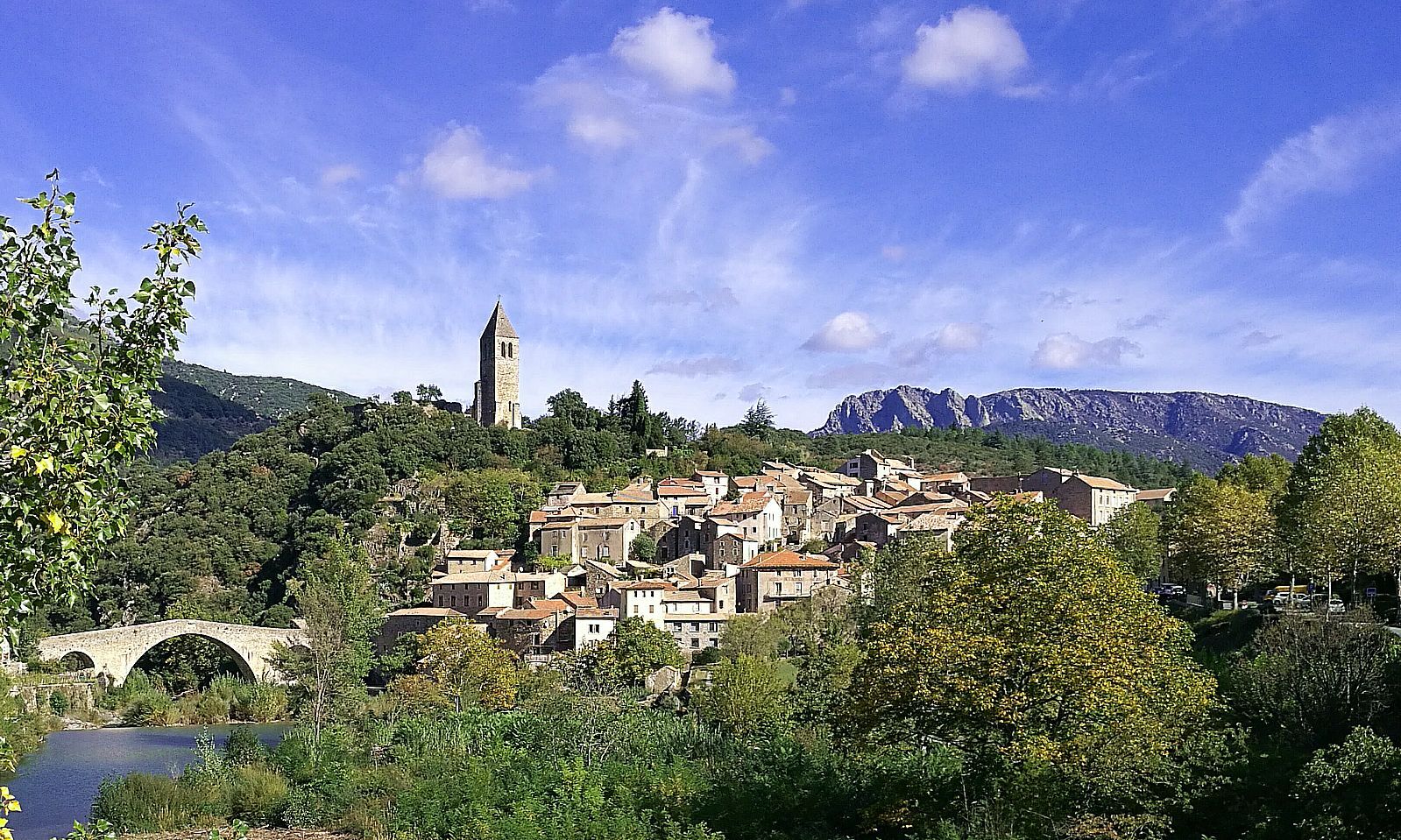
From the radiant village of Roquebrun, you'll follow the meandering Orb before tackling a technical and physical climb. A detour to the summit of Pic de Naudech (755m) is a must: an exceptional panorama and a Mecca for enduro mountain biking! After breathtaking views of the Caroux and the mountains and valleys of western Hérault, you'll finish the stage in Olargues, listed as one of "Les Plus Beaux Villages de France". You'll love strolling through the narrow streets of this medieval village perched on a rocky outcrop on the banks of the Jaur river, and crossed by the Haut Languedoc greenway, the Passa Païs.
4
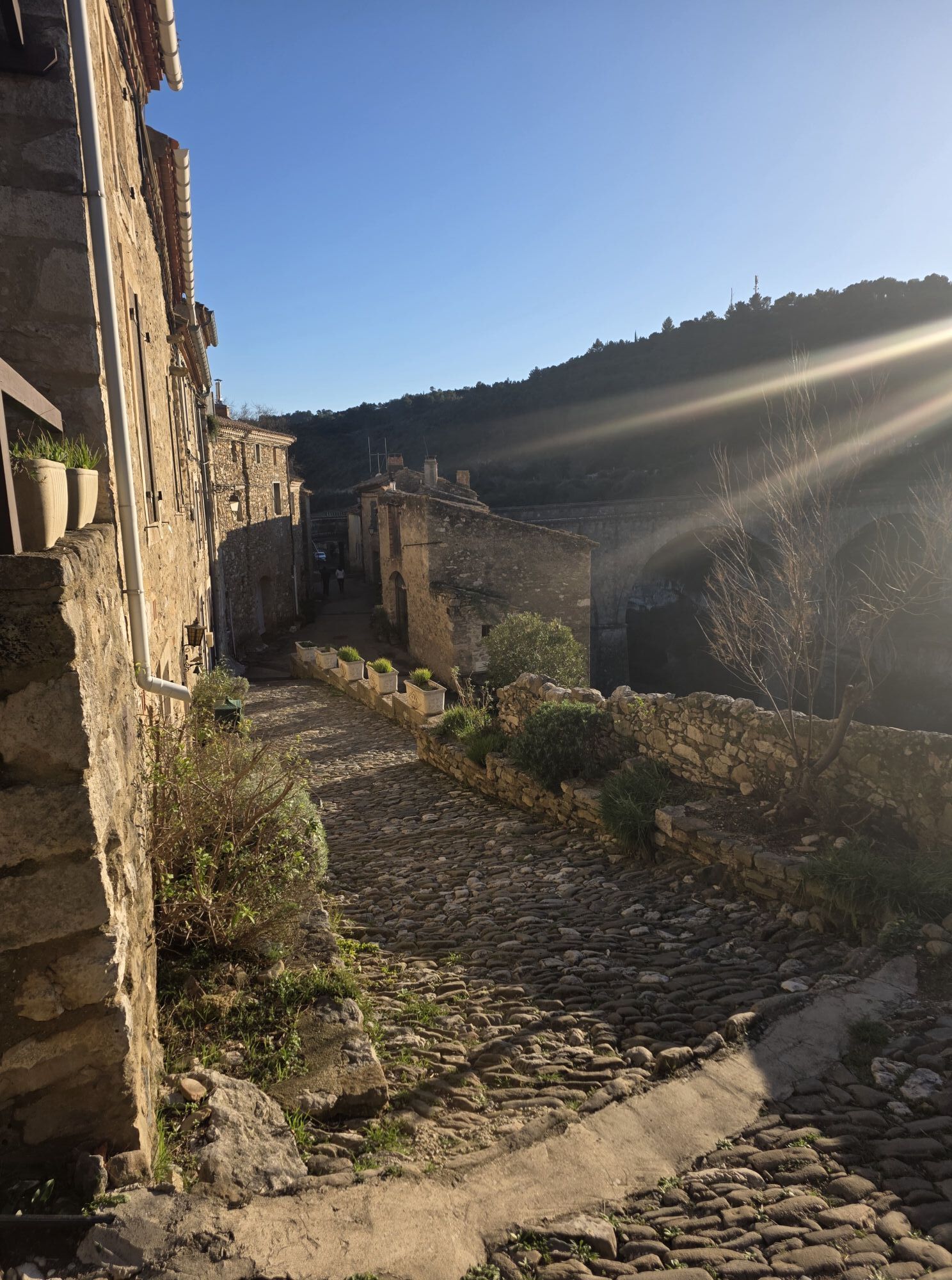
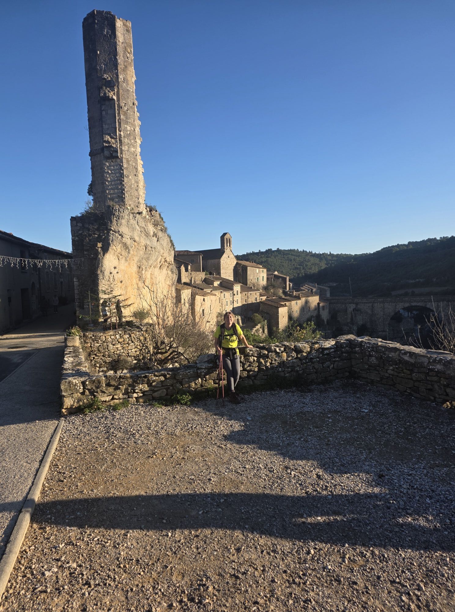
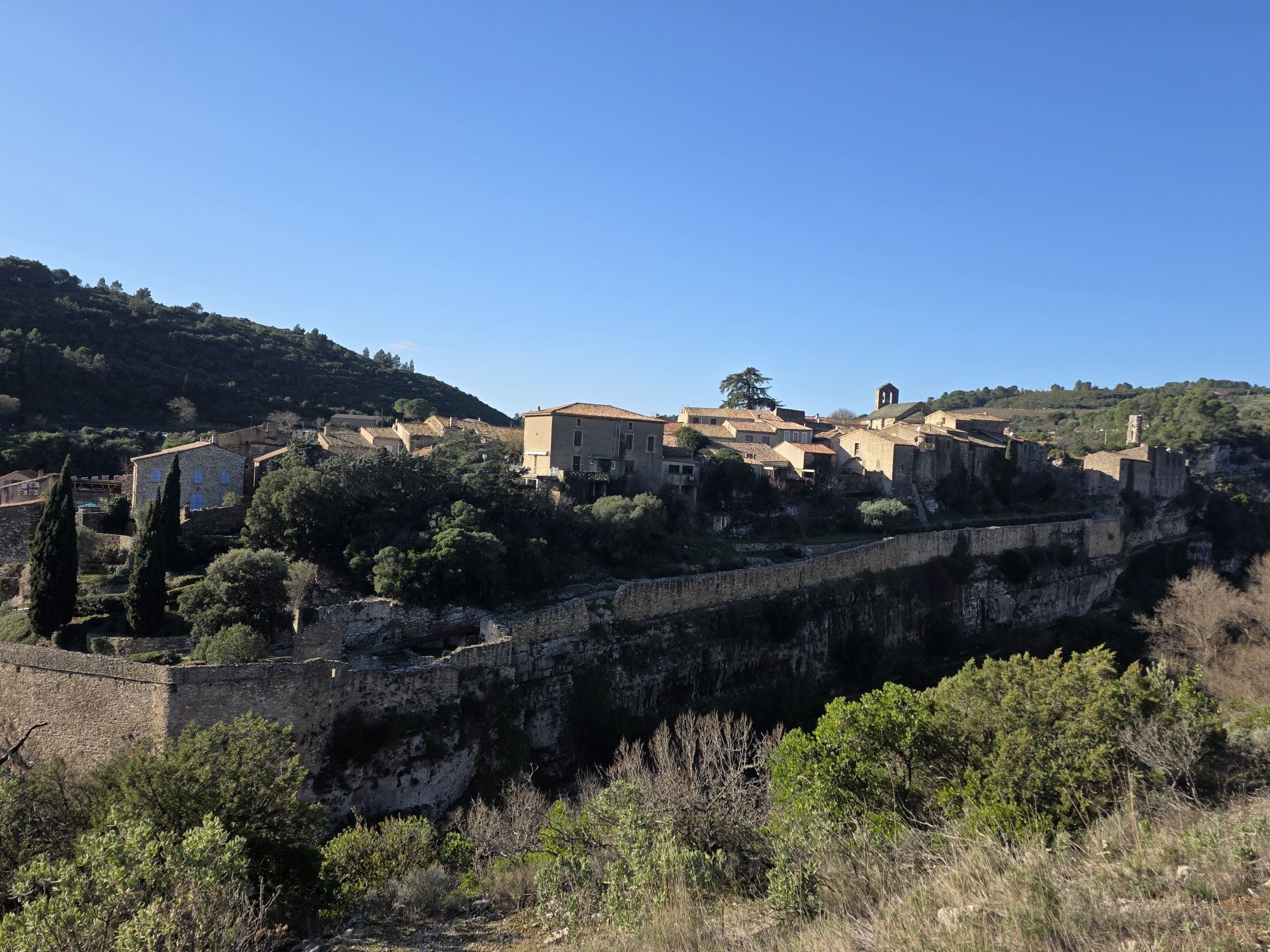
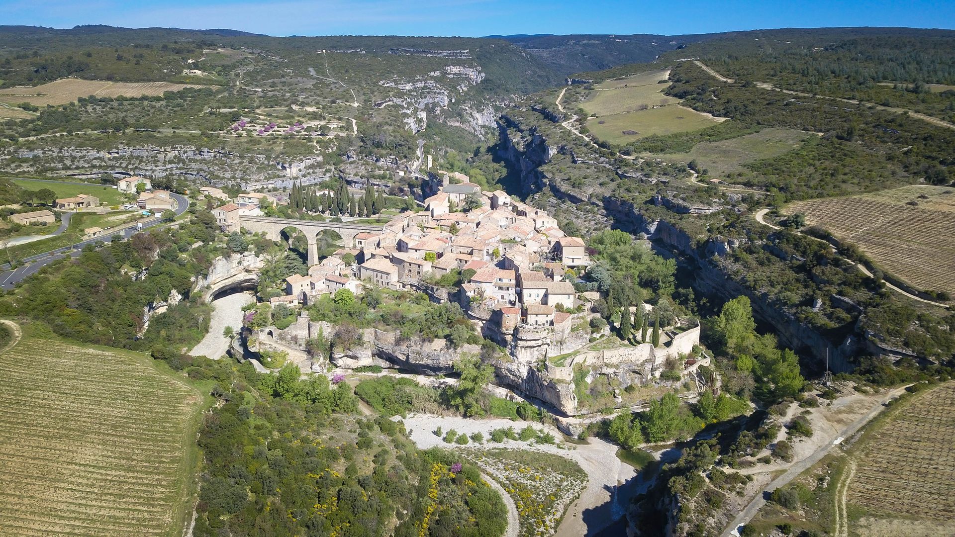
From one "Most Beautiful Village in France" to the next, it's a sporting challenge and a total change of atmosphere between the cool Jaur valley and the limestone landscapes and vineyards of the Minervois. To start with, you have to climb up to the Col de la Bacoulette: if you missed the detour to the Pic de Naudech, you've got a second chance to enjoy the view! The route then evolves along long trails leading from pass to pass, sometimes over open terrain open to the wind. Still in the heart of the Avants-Monts national forest, deciduous and coniferous trees give way to pastures grazed by horses, cows and other ruminants. After passing through some of the ten hamlets in the commune of Pardailhan, still famous today for the black turnip of the same name, the route gives way to an ethereal landscape set on a limestone plateau. Minerve, a veritable jewel in the crown of the Hérault's historical and natural heritage. The Grand Site de la Cité de Minerve, Gorges de la Cesse et du Brian offers a landscape of alternating garrigue, vineyards, dry stone and numerous ancestral remains, forming a whole of exceptional heritage value.
5
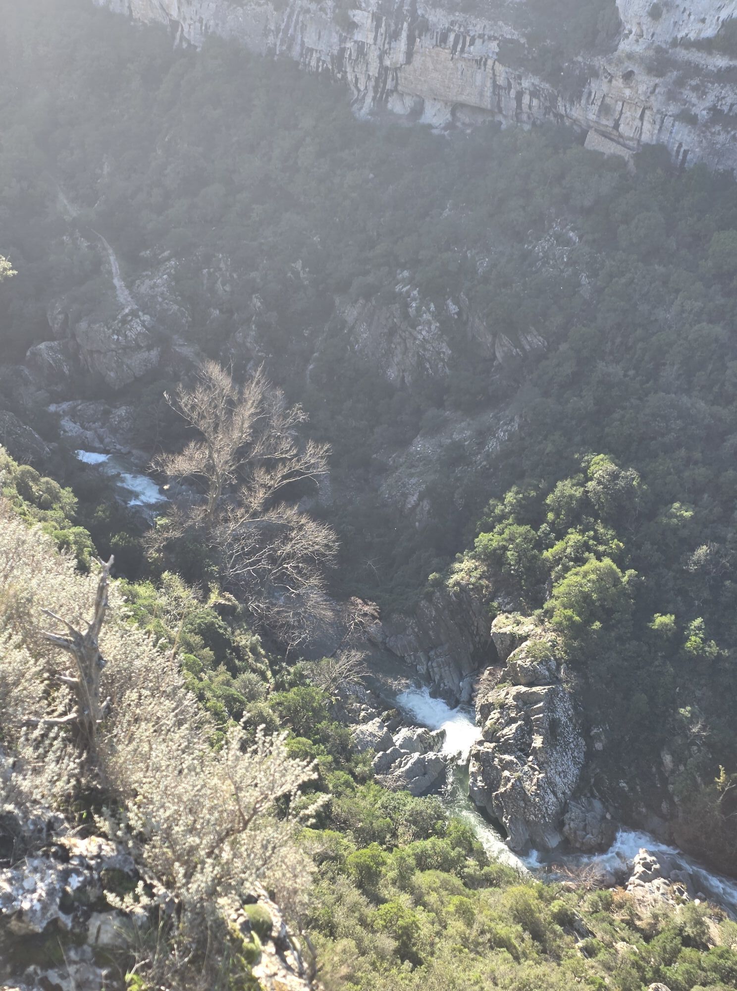
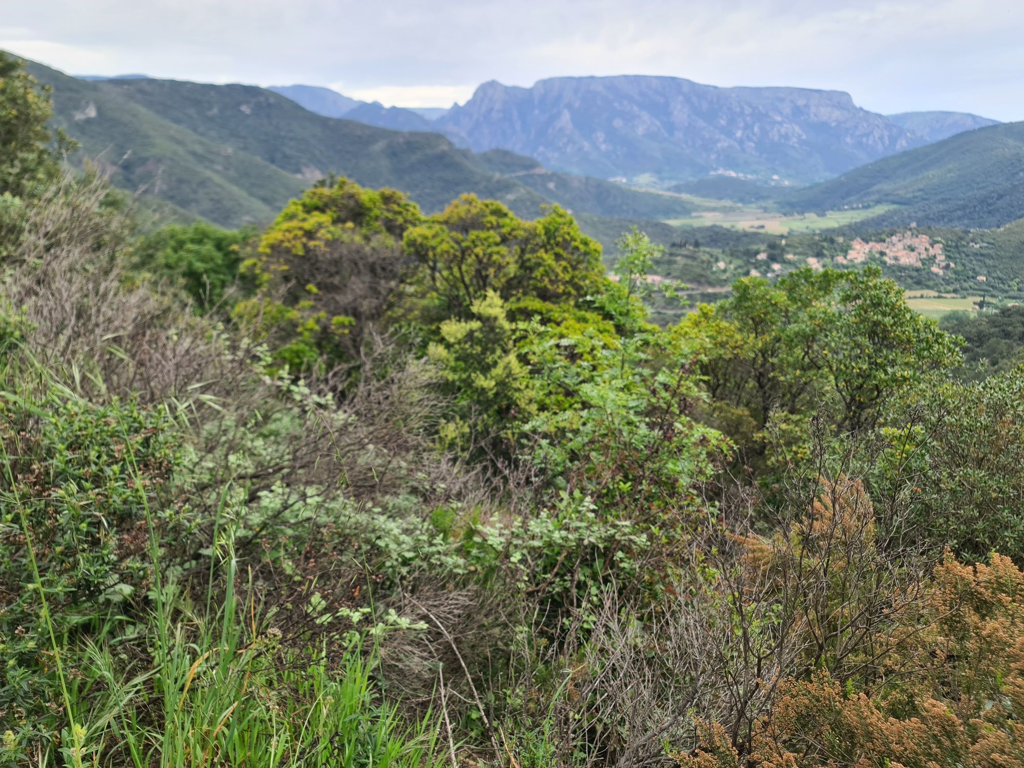
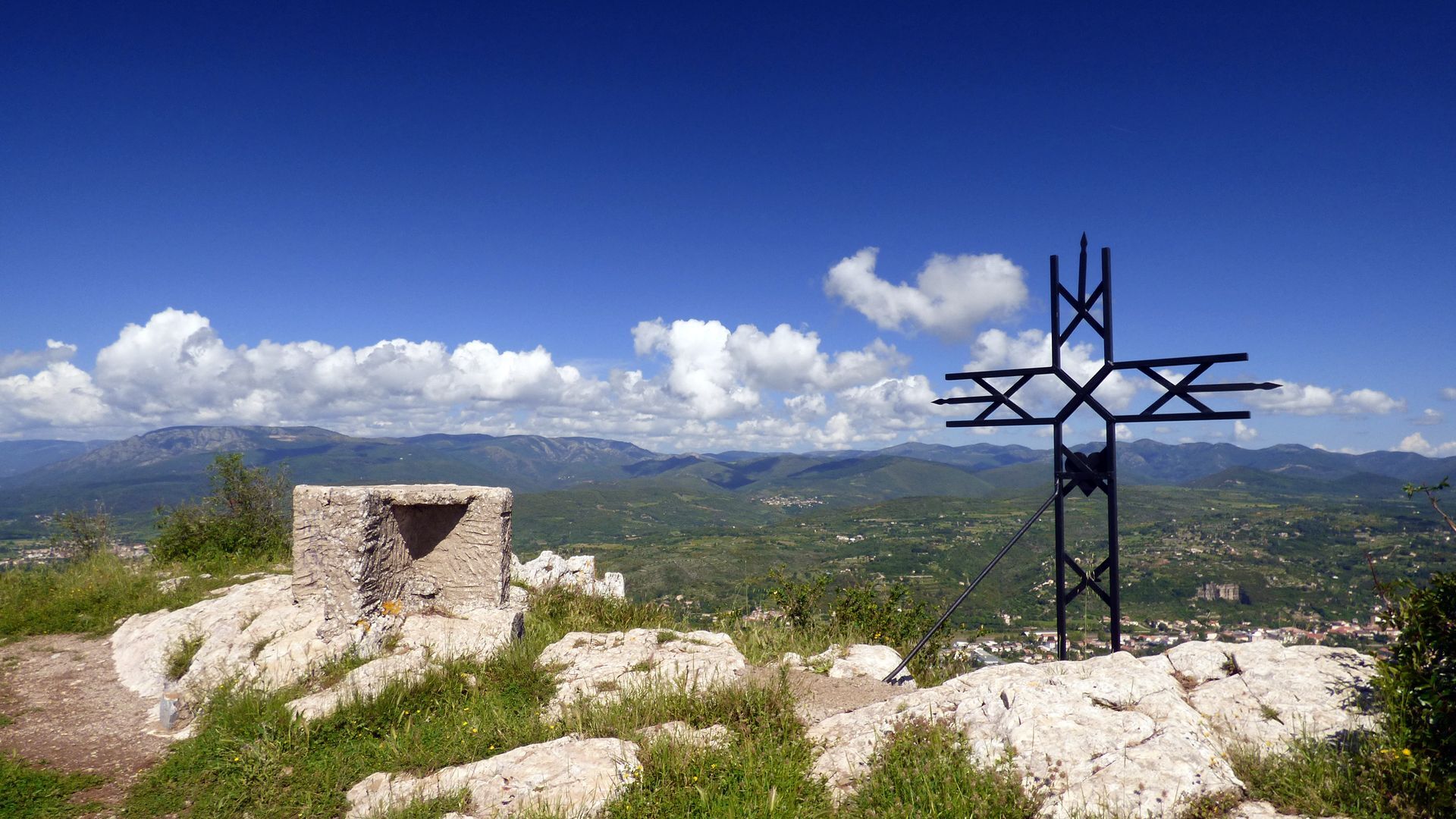
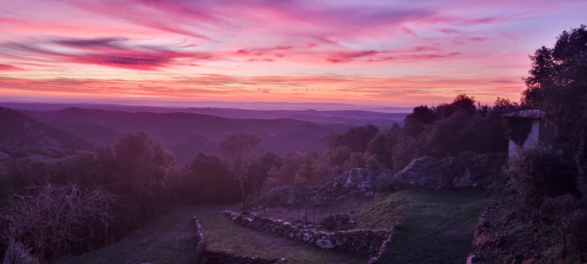
From the Cité de Minerve to the source of the Cesse at Ferrals-les-Montagnes, this stage is a testimony to the past in an unspoilt natural setting. Panoramic views over the Languedoc valley, the Montagne Noire and the Pyrenees accompany you for much of the way. On the south-western edge of the Hérault region, the Passa Meridia is nearing its end, but there's no room for relaxation, either for the legs or the view. From Cassagnoles to the mountains of Félines-Minervois, through vineyards and forests of diverse species, passing through remarkable historic and heritage sites. Incarnate red marble is the king of the last stage: from Versailles to the Louvre, it has given this region international renown. Arrival at the chapel of Notre-Dame-du-Cros marks the end of the Hérault tour, before discovering the medieval streets and Renaissance architecture of the remarkable village of Caunes-Minervois, in the Aude department.
6
The Passa Meridia SUD is complete, but it would be a shame not to continue down the Aude to the city of Carcassonne! Enjoy the banks of the Canal du Midi, the pretty village of Trèbes and the medieval city of Carcassonne... and get to the Carcassonne train station for a 100% car-free holiday! From Caunes-Minervois to Carcassonne, the itinerary is unmarked and takes in pretty country roads and the banks of the Canal du Midi: you're on the route of the Escapade Nature Sans Voiture between the Grands Sites "Béziers - Canal du Midi", "Cité de Minerve, Gorges de la Cesse et du Brian" and "Cité de Carcassonne". Another great itinerary to plan... A day at the end of your stay is a must, to take full advantage of the Cité and Bastide. All that's left is to take the train back to Bédarieux, and enjoy the scenery!
In case of emergency, dial 112
Bédarieux
Bédarieux
The route is passable most of the year: - however, avoid the summer period: you may find it difficult to find accommodation, and some forest areas may be inadvisable due to fire risk - give preference to spring and autumn. The colors and lights are magical, and the temperatures more suitable!
Red MTB beacons
Green signal mats
+33 4 67 67 71 71
Hérault Tourism
Grande Traversée VTT-FFC
Obľúbené výlety v okolí
-
4,0
LEGENDS TRAIL HIKE
strednáTuristika 11,4 km -
HIKING IN THE TOWN OF MINERVE
strednáTuristika 8,79 km -
TOUR DE LAC DE VESOLES HIKE
svetloTuristika 6,27 km -
CAPITELLES INTERPRETATION TRAIL
svetloTuristika 4,33 km -
HIKING AIGUES-VIVES THE BANKS OF THE CESSIÈRE
svetloTuristika 7,52 km -
HIKE AROUND THE MALIBERT SPRING
strednáTuristika 12,2 km -
ROUTE AROUND SAINT-JEAN-DE-MINERVOIS - GR® DE PAYS MINERVOIS, SAINT-CHINIAN, FAUGÈRES
strednáTuristika 42,1 km -
CYCLE LOOP NO.12 - THE ASSAULT ON THE HAUT-LANGUEDOC FROM MINERVE
svetloCyklistika 37,3 km -
CAR-FREE NATURE ESCAPADE IN THE GREAT SITES - FROM BÉZIERS TO CARCASSONNE VIA THE NORTH
strednáCyklistika 139,6 km -
CYCLING ROUTE NO.6 - THE VINEYARD OF MINERVOIS AND SAINT-CHINIAN
svetloCyklistika 49,9 km
Turistika a stopovanie


Nenechajte si ujsť ponuky a inšpiráciu na ďalšiu dovolenku
Vaša e-mailová adresa bol pridaný do poštového zoznamu.