






LEGENDS TRAIL HIKE

Above Riols, this tour takes you by the hand into the Somail mountains, explaining milestone after milestone, schist and gneiss, menhir and dolmen, and of course the legend of Saut de Vesoles.


1
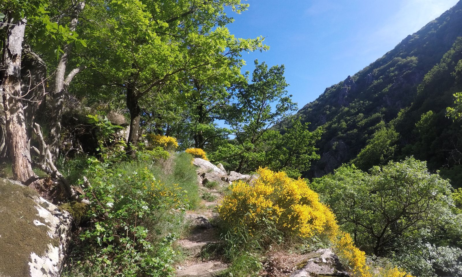
From the parking lot, turn right into the village of Langlade. Take the upper road (GR® 77) and continue along the path. It climbs through the chestnut grove for 1.5 km, then descends to cross the torrent. Climb 250 m under pine trees to a small clearing.
2
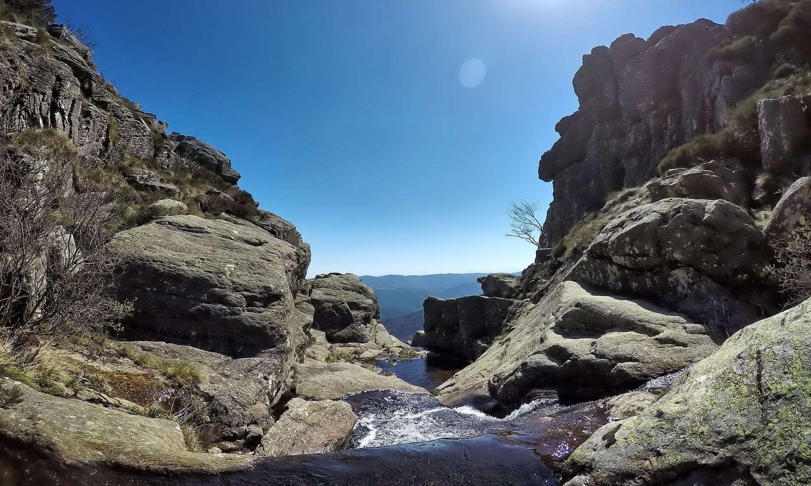
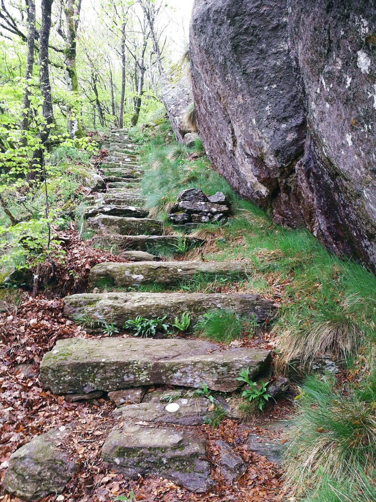
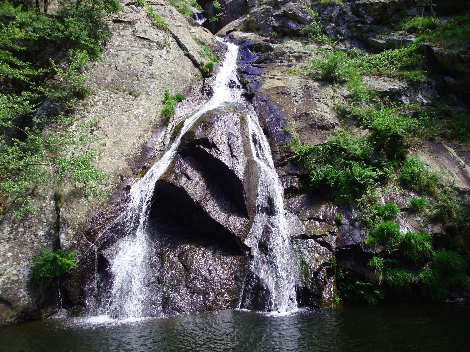
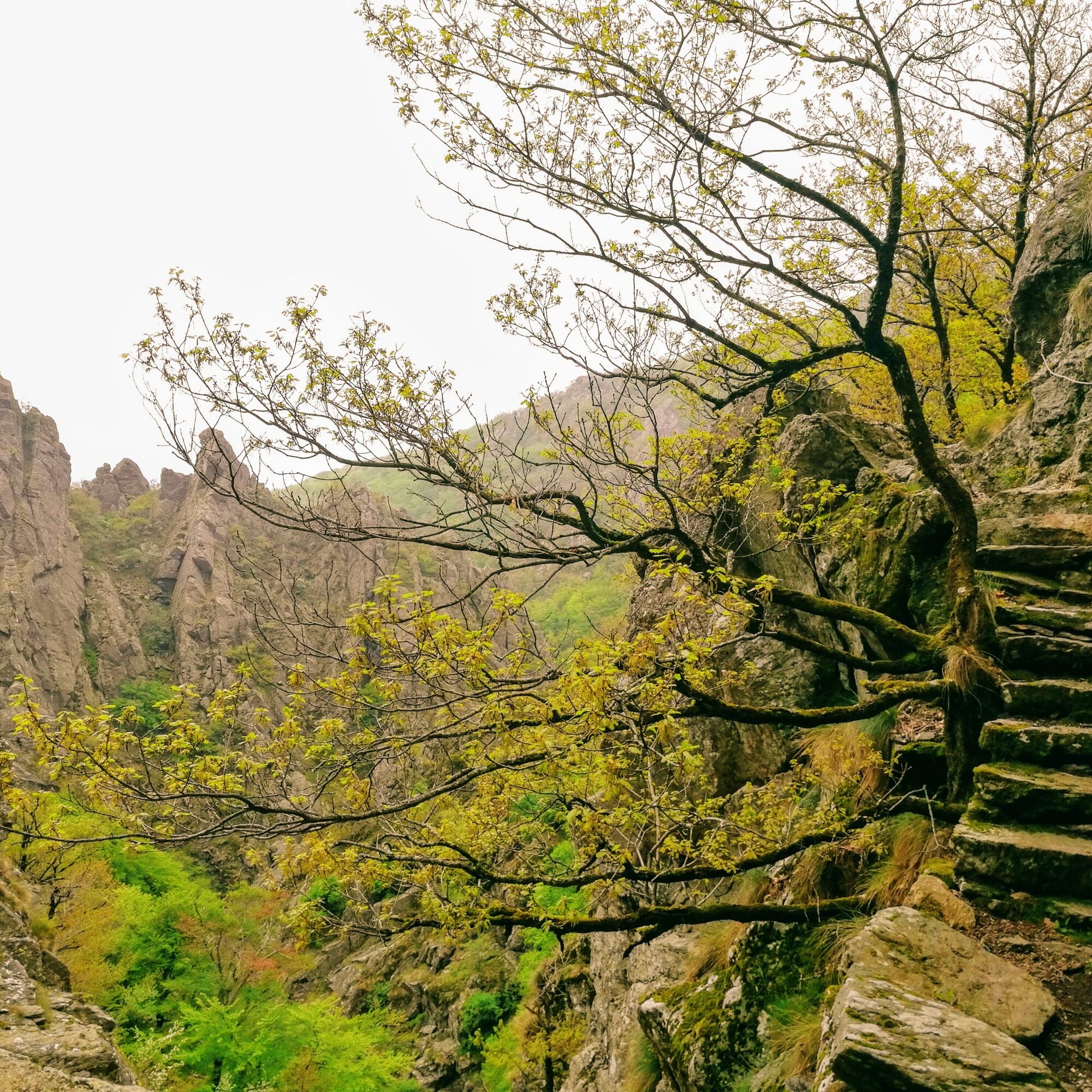
Take the sentier des Gardes to the left. This balcony overlooks the Gorges du Bureau, then joins the torrent. Turn right up the stone steps and begin the long ascent (sentier des Mille Marches) to the plateau (tricky sections in wet weather; use safety chains). Arrive opposite Lac de Vesoles and the dam (view of the Saut de Vesoles: geological fracture of the Ruisseau du Bureau).
3
Junction with PR Le Tour du lac de Vesoles. Before the road, turn left onto the path. Continue for 300 m through the heather. At the Oreille d'Aze rock, turn left onto the straight path through the pine forest. Continue along the path which passes the belvedere (overlooking the Gorges du Bureau).
4
Take the left-hand track (route forestière du Cabarétou). At the crossroads, ignore the right-hand tracks. Pass the Cabanes fountain and, after 1.5 km, reach the Col des Bœufs.
5
Take the left-hand track downhill for 2.5 km.
6
At Col des Sept-Frères, take the first track on the left (follow the signs!). It descends through oak and beech woods for 3 km. Pass a large pond, cross the hamlet of Falgouze and return to the parking lot.
Jaune PR
+33 4 67 67 76 36
HÉRAULT DEPARTMENTAL COUNCIL SPORTS AND NATURE DEPARTMENT
PR - FFR

Obľúbené výlety v okolí
-
5,0
HIKING ROUTE OF THE TERRASSES DE L'ESPINOUSE
strednáTuristika 16,8 km -
4,0
LAUZE HIKE
strednáTuristika 9,41 km -
TOUR DE LAC DE VESOLES HIKE
svetloTuristika 6,27 km -
MOUNTAIN BIKE PASSA MERIDIA - SOUTH BRANCH FROM BÉDARIEUX TO CARCASSONNE
strednáMountainbike 229,0 km -
HIDDEN HIKING TRAIL
strednáTuristika 17,5 km -
HIKE AROUND THE MALIBERT SPRING
strednáTuristika 12,2 km -
The Payrac discovery trail
svetloTuristika 1,79 km -
PREVERT TRAIL HIKE
svetloTuristika 4,95 km -
Cycle Route - C4 Around the Laouzas lake by bike
svetloCestný bicykel 19,8 km -
HIKING THE EAGLE'S NEST
svetloTuristika 5,20 km
Turistika a stopovanie


Nenechajte si ujsť ponuky a inšpiráciu na ďalšiu dovolenku
Vaša e-mailová adresa bol pridaný do poštového zoznamu.





