







OENORANDO® OF THE VISSOU RIDGES
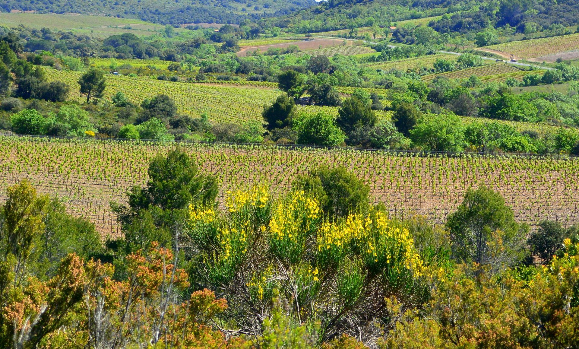
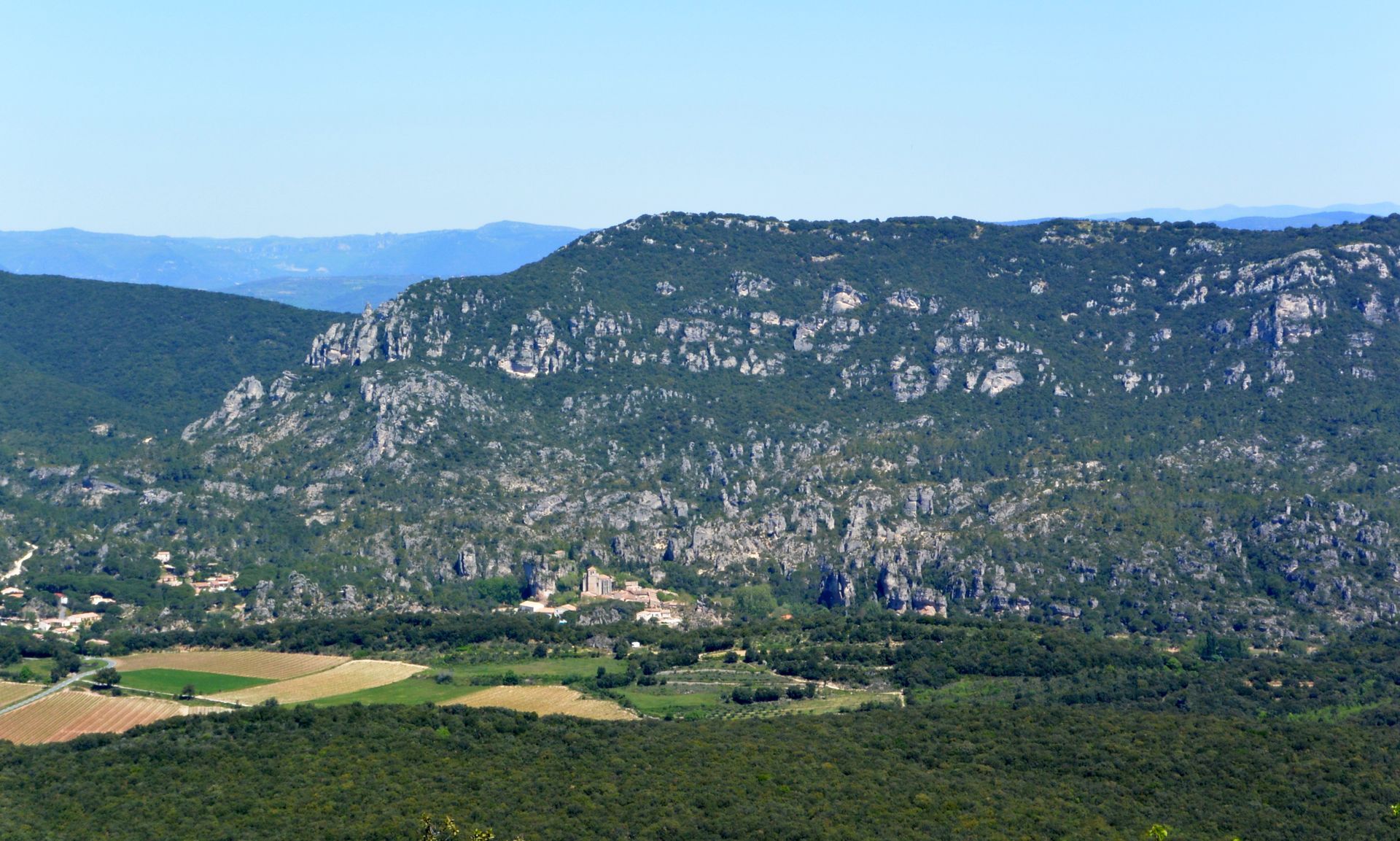
This trail runs through the heart of a protected site, rich in natural, geological and scenic discoveries. Leaving the village, the trail winds through the vineyard, climbs into the fragrant scrubland...
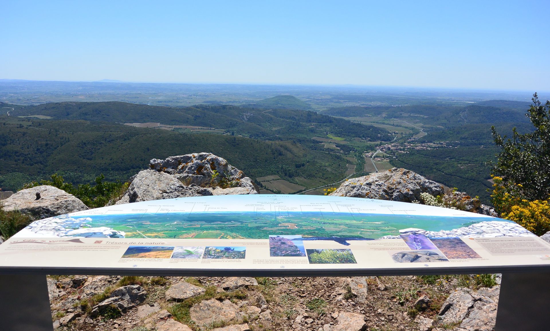
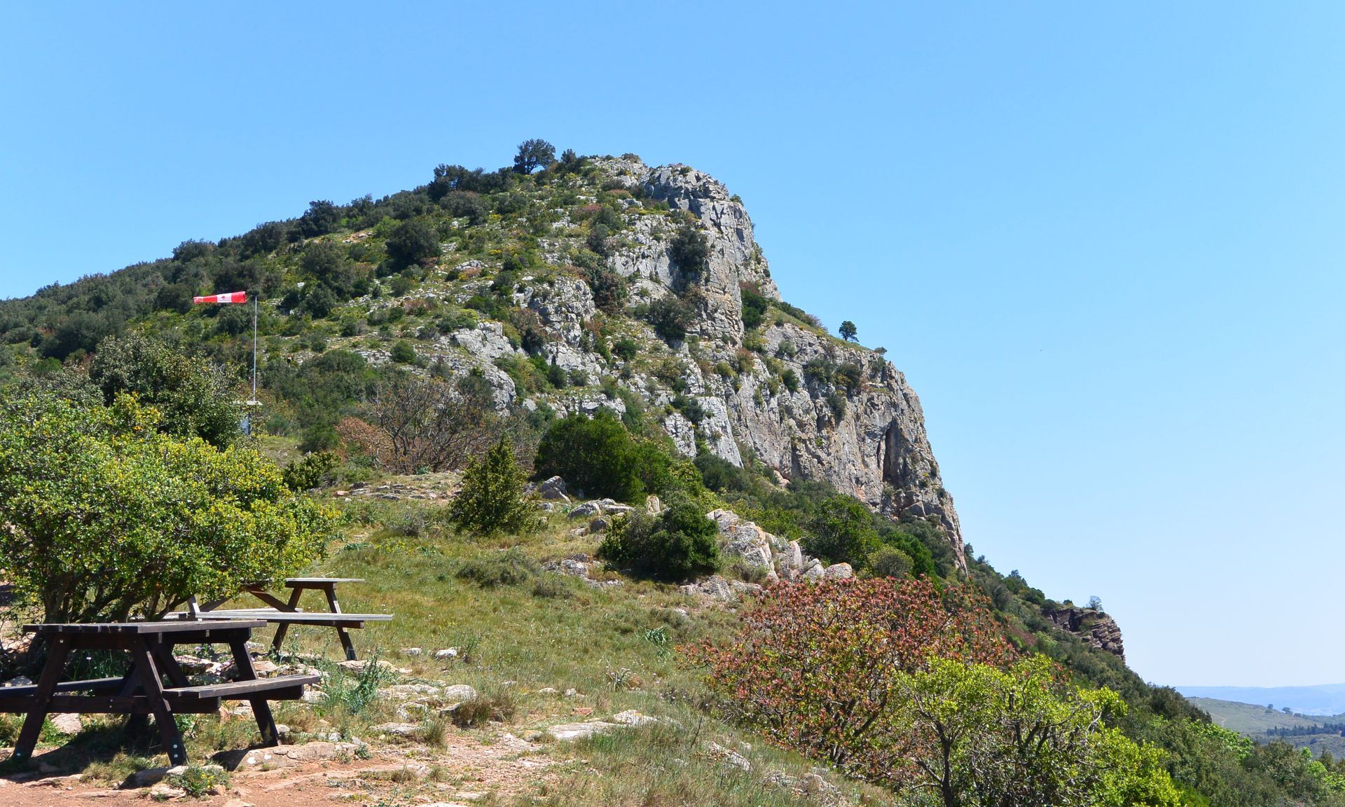
3 good reasons to choose this route: • Climb the Vissou peak, • The panorama over the Cabrières vineyard, • The visit to the village of Cabrières.


1
Facing the cellar, turn right onto avenue de Clermont, cross the village. Continue straight on the D15 (caution). At the end of the straight stretch, before the bridge, leave the road to the left.
2
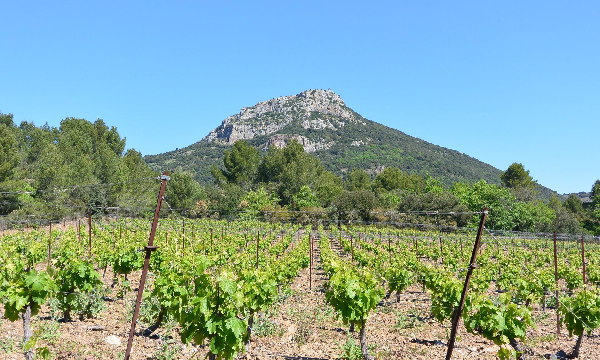
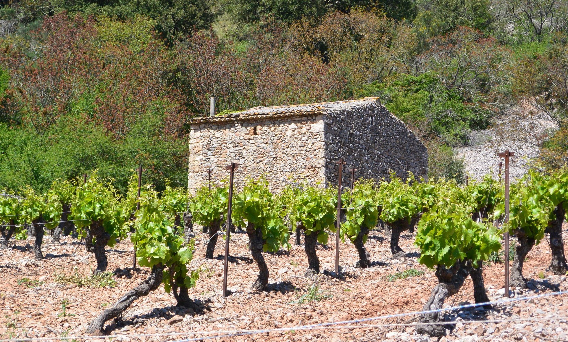
Cross the parking lot, cross the Boyne stream (if the ford is impassable, continue on the road and turn left 200 m after the bridge onto the track). Continue on the path. Climb straight ahead through the vines towards the Vissou Peak. Stay on the main track and reach an intersection further on.
3
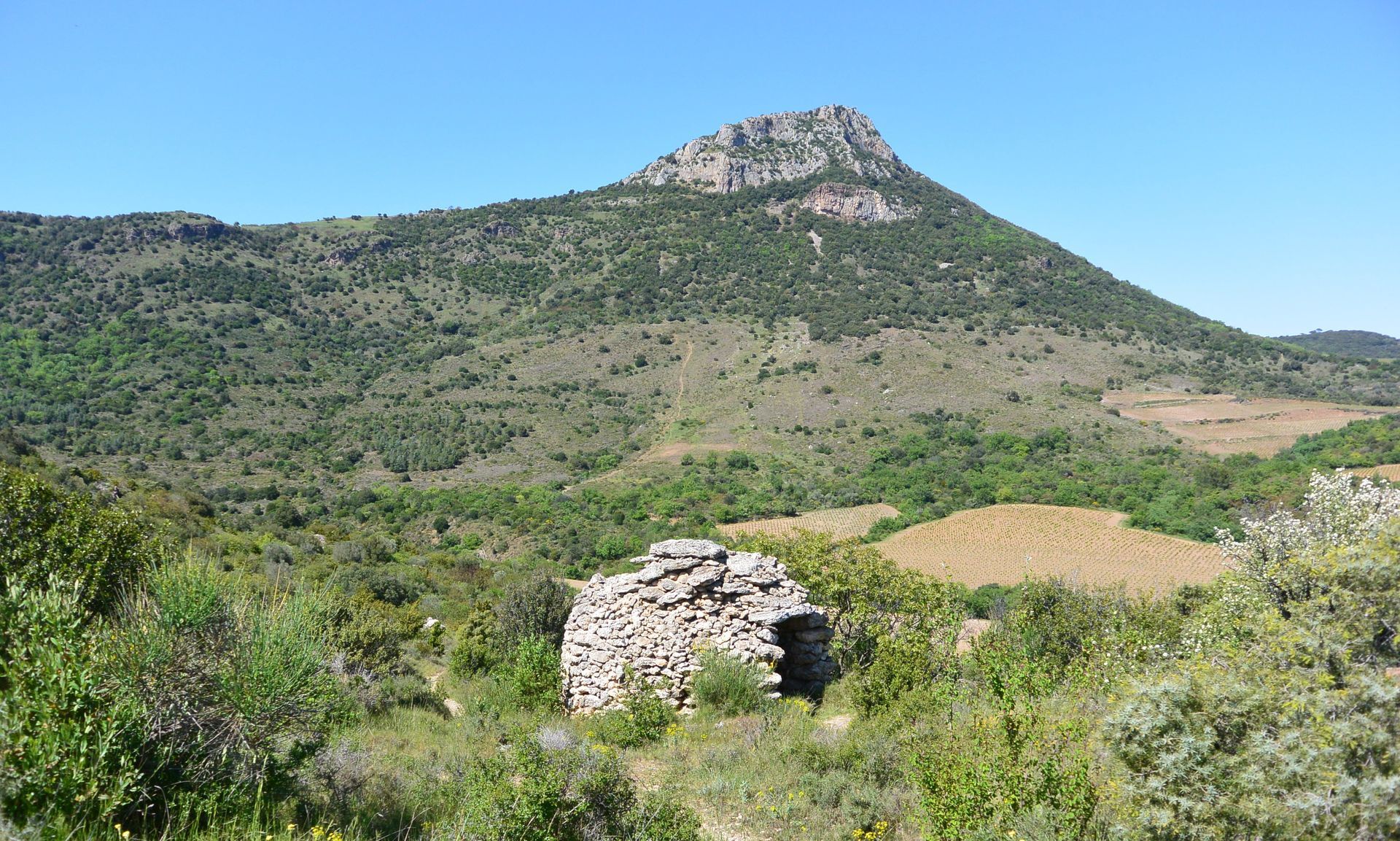
Turn right, pass a ruined small farmhouse. A few meters further, climb left on a developed path and reach a vineyard. Follow along the vineyard then climb through the undergrowth by an old path. Exit the undergrowth to the left, facing the Mourèze pass.
4
Climb on the ridge towards the Vissou peak (watchtower), join a well-marked path. Continue the climb and reach a track; take it on the left and access the summit. On the right, follow the ridge (caution near the cliffs) and descend to the pass (stay on the path, carefully follow the markings). Cross the track, pass the paragliders’ takeoff site. Further on, reach the entrance of the aeromodelling field (private property).
5
Go around the field on the right and follow a fence. On a well-marked path, continue along the ridge. Leave Vissounel on the left, then descend (slippery slabs).
6
At the end of the descent (before a slab), veer left and enter the undergrowth. Further on, descend right along the vines. Reach a path facing the Boyne. Continue left for a few meters. Climb left on the track below Vissounel. On the right, take a path between the vines. Continue on a track.
7
Enter left via a path into the undergrowth. Walk under the Vissou peak in a former cedar and pine plantation, facing the paragliders’ landing area. Find a track between the vines, then cross a ford. Turn left for 150 m. > Possibility to reach the secondary parking directly: continue straight for about 600 m.
8
Turn right between the vines towards the rocky walls. Pass a small farmhouse and an olive grove. Cross the dry Estabel waterfall.
9
On the left, climb by a path and cross a low wall. Veer left, pass in front of a dry stone hut and join a track on the Estabel plateau. Head left, cross the D124 and enter straight onto a track. Continue under a vineyard, then through woodlands. Descend left by a path and join a road. Go right towards the village, cross a bridge and climb right. Continue straight on avenue de l’Estabel through the houses. Descend left on rue de la Liberté, continue on rue de l’Église. Pass Saint-Étienne church on the right. Facing the town hall, turn right and return to the starting point.
A75/750 exit no. 57
A75/750 exit no. 57
Path along the peak dangerous in windy weather. Attention near the cliffs. After the Vissounel peak, steep descent and slippery passages on rock slabs when it rains.
Jaune PR
+33 4 67 96 23 86
Clermontais Tourist Office
Oenorando®

Obľúbené výlety v okolí
-
5,0
CIRQUE DE MOUREZE HIKE
strednáTuristika 6,86 km -
5,0
LES VAILHÉS HIKING TRAIL
strednáTuristika 9,28 km -
5,0
MONT LIAUSSON HIKE
strednáTuristika 7,36 km -
5,0
CIRCUIT N°1 LE LAC DU SALAGOU - ESPACE VTT-FFC DU SALAGOU
strednáMountainbike 26,9 km -
5,0
HIKING THE RED ROCK
strednáTuristika 7,01 km -
LAVAL DE NIZE HIKE
svetloTuristika 6,07 km -
TRAIL OF THE TOUR OF LAKE SALAGOU (SHORES OF CLERMONT) - GR® OF THE REGION BETWEEN 2 LAKES Avène – Salagou
strednáTrailrunning 25,6 km -
COURTINALS TRAIL HIKE
svetloTuristika 2,36 km -
BEALS TRAIL HIKE
strednáTuristika 4,51 km -
OENORANDO® OF THE BALCONS D’ALIGNAN DU VENT
strednáTuristika 12,7 km
Turistika a stopovanie


Nenechajte si ujsť ponuky a inšpiráciu na ďalšiu dovolenku
Vaša e-mailová adresa bol pridaný do poštového zoznamu.





