


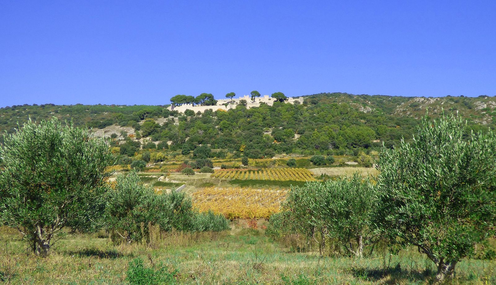
OENORANDO® DE CASTELBARRY - BETWEEN VINEYARDS AND OLIVE GROVES
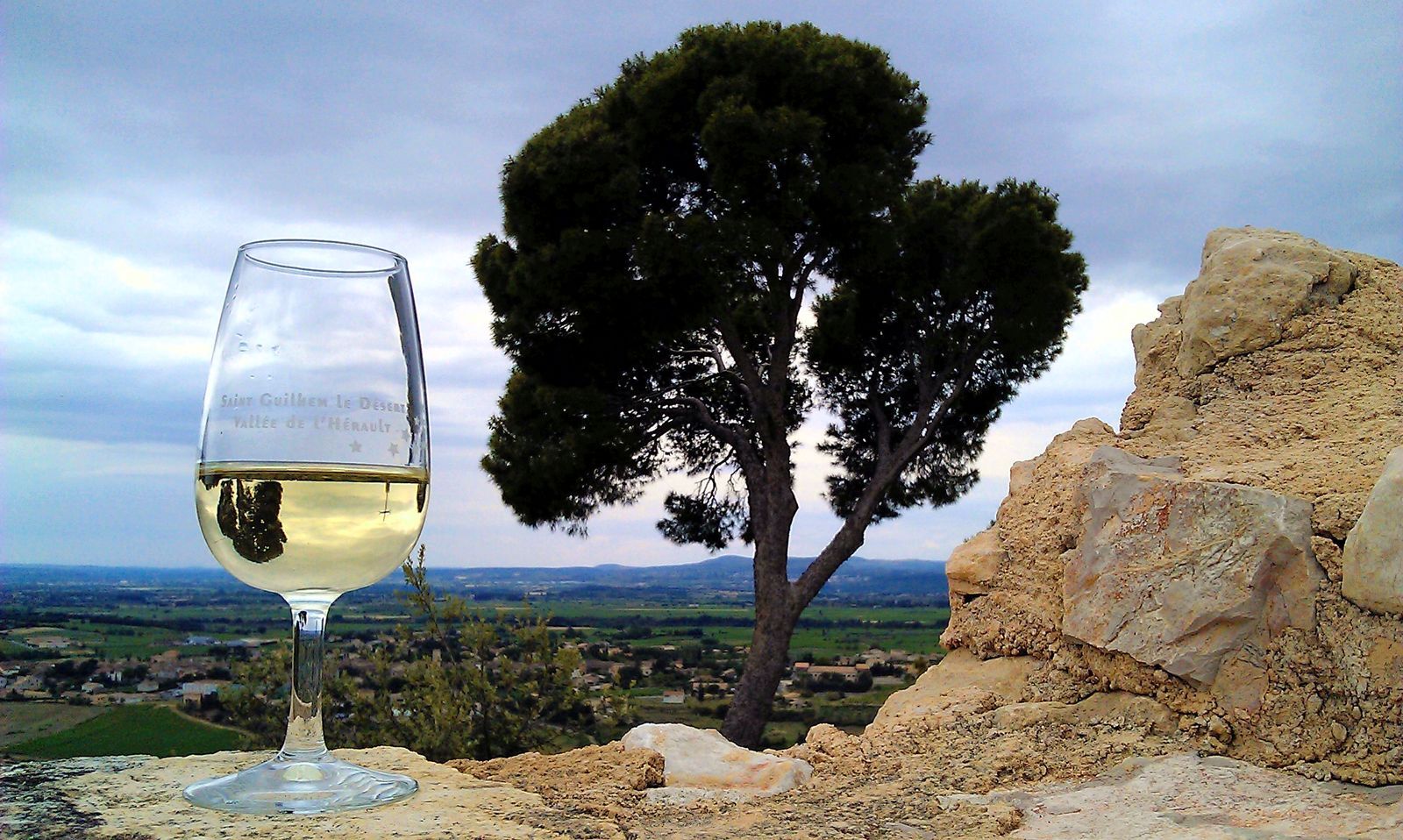
Take the time to contemplate this exceptional heritage, a vineyard that is largely certified "Terra Vitis" and "Agriculture Biologique". Reflecting the commitment and deep respect of the men of Castel...
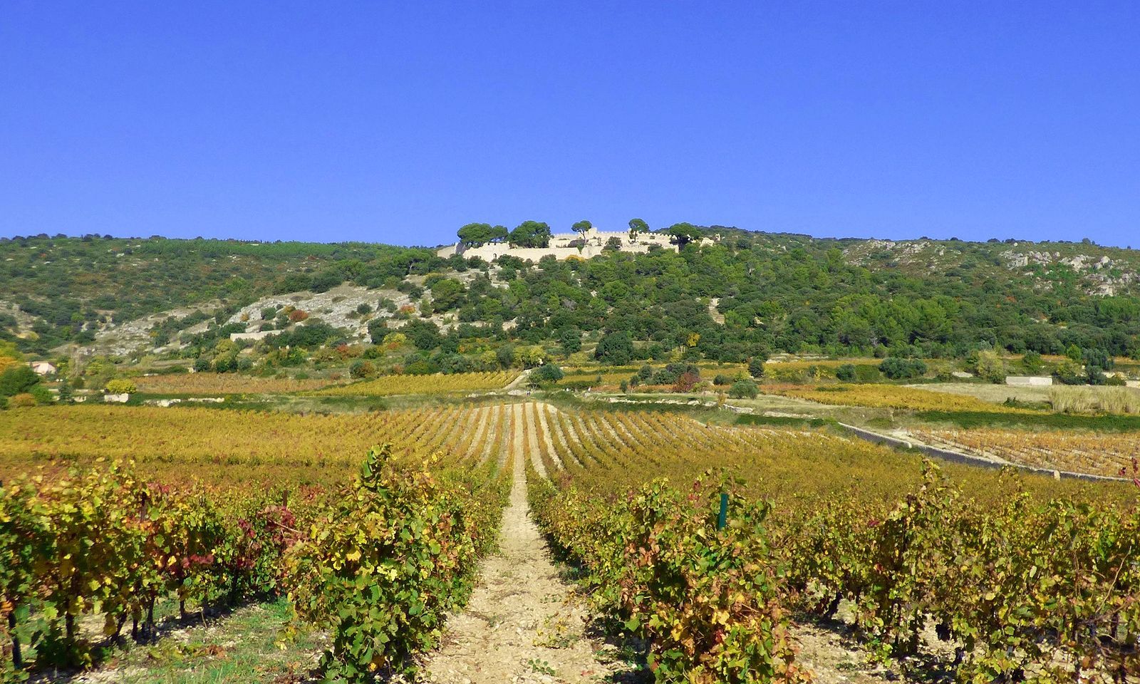
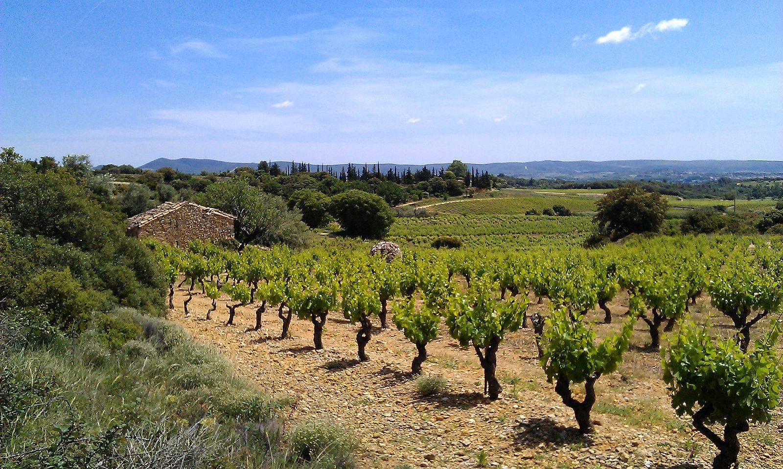
3 good reasons to choose this itinerary: - Short, easy route, - Pass under the Castellas de Montpeyroux, - Walk through vineyards and olive groves.

1
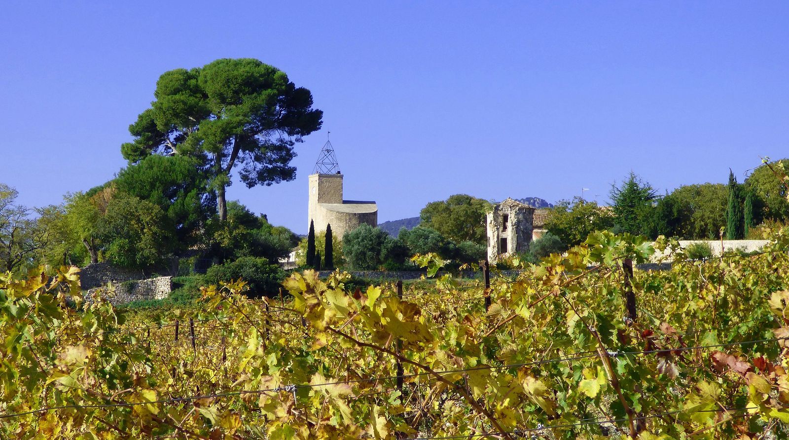
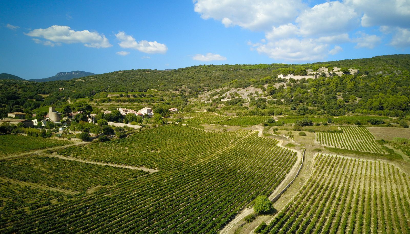
From the parking lot, walk along the cellar, then turn right towards Le Barry. Go through the hamlet, past the church (on the left, junction with the "Castellas de Montpeyroux" PR). Climb towards the Castellas. Cross a fence and walk for 100 m.
2
Access to the Castellas (1 km round trip): take the main path to the former château. Go down some steps to the right and continue along a balcony path above the vineyards. After the intermittent stream, turn right until you reach a crossroads. Take the second left. At the fork, turn left onto the road. se to reach the square. Turn right to return to the cellar.
3
In a bend, turn right after the vineyard. Walk 350 m (on the left, thousand-year-old olive trees beside the mazets). Take the steps down to the right towards the vineyards. Further on, leave the track on the right and walk around a vineyard. At the road, go right to the pumping station.
4
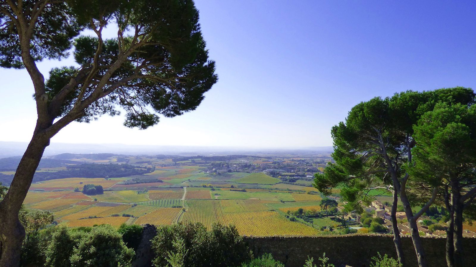
Shortly afterwards, descend to the left, cross the Aigues Vives stream and climb into the woods. At the end of the climb, turn right and cross a high wall. Go left between the vines and the low wall (view of Montpeyroux, Roc des Deux Vierges, Arboras, Barry, the Larzac foothills and Mont Saint-Baudille). At the crossroads, continue straight ahead, crossing to the other side of the low wall and entering the woods at the summit of Mont Redon. Descend through woods and vineyards to the D141.
5
Turn right, drive 150 m (with care) to reach the D141E3. Cross the road and enter the village on rue du Square. Turn right onto rue de la Dys.
Montpeyroux
Montpeyroux
Jaune PR
+33 4 67 96 61 08
Cave coopérative Castelbarry
Oenorando®
Obľúbené výlety v okolí
-
5,0
CIRQUE DE MOUREZE HIKE
strednáTuristika 6,86 km -
5,0
LES VAILHÉS HIKING TRAIL
strednáTuristika 9,28 km -
5,0
MONT LIAUSSON HIKE
strednáTuristika 7,36 km -
5,0
CIRCUIT N°1 LE LAC DU SALAGOU - ESPACE VTT-FFC DU SALAGOU
strednáMountainbike 26,9 km -
4,0
CYCLE LOOP No.4 - THE HÉRAULT GORGES AND THE COL DES LAVAGNES
strednáCyklistika 53,3 km -
RANDONNEE DE PEYRE MARTINE
strednáTuristika 15,4 km -
HIKING OF THE FENESTRETTES
strednáTuristika 10,4 km -
TRAIL OF THE TOUR OF LAKE SALAGOU (SHORES OF CLERMONT) - GR® OF THE REGION BETWEEN 2 LAKES Avène – Salagou
strednáTrailrunning 25,6 km -
HIKING OF THE BALCONIES OF THE HERAULT
strednáTuristika 17,9 km -
VILLENEUVETTE HIKE
svetloTuristika 3,08 km

Turistika a stopovanie


Nenechajte si ujsť ponuky a inšpiráciu na ďalšiu dovolenku
Vaša e-mailová adresa bol pridaný do poštového zoznamu.