






HIKING THE PRIORY OF SAINT-CHRISTOPHE
This magnificent tour combines heritage and scenic beauty with panache! From the Pyrenees to the coastline, from the Caroux-Espinouse massif to the foothills of the mountains, the Languedoc plain is yours...
This magnificent tour combines heritage and scenic beauty with panache! From the Pyrenees to the coastline, from the Caroux-Espinouse massif to the foothills of the mountains, the Languedoc plain is yours to see and experience. The historical appeal of this tour is not the least, with its medieval village, feudal castle and chapel nestled in a secluded pine forest, which will reveal some of its secrets to you... Continue with a visit to the village and the ecomuseum de la vie d'Autrefois.


1
From the parking lot, head towards the tourist office, cross the "prudence" road (busy road) and take rue Edouard Adam. Turn right, then left, and follow the road past the Halte des Pèlerins to the D 134. Turn right for 200 m.
2
63 m, 31 T 502909 4802471 Turn left at the plane tree. Ignore the road on your left and go straight up. At the edge of the pine forest, turn left at the fork, then left again and right at the next fork. Follow the signs. Ignore the other tracks for 1 km until you reach a crossroads. Go right and, at the vineyard shed, go right. Further on, turn left towards a farmhouse.
3
153 m, 31 T 502350 4804169 At the mas, follow the signs. Take the narrow path that starts on the left opposite the gate. Further up, turn right at the fork in the road onto a narrow path that leads to a track with a wide view of the Caroux and Montagne Noire. Turn right at a crow's-foot. Take the left-hand track, then left again at the crossroads. A few metres further on, ignore the path that descends to the left and reach the ultralight base. Follow the runway to the right (windsock) and reach a tarmac road. Turn right, then left towards Domaine de Milhau (view of Béziers cathedral). In front of the courtyard, turn left around the estate along the wall. Take the road to the right and, at the crossroads, continue left for over 1 km until you reach a house on the left.
4
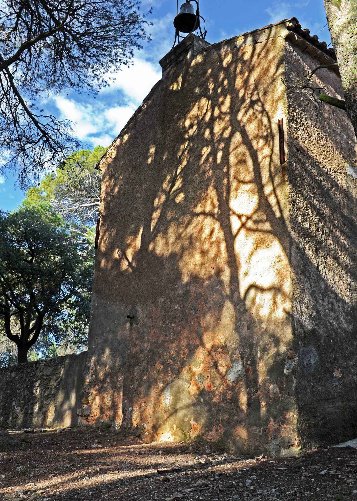
121 m, 31 T 504144 4803644 At the house, leave the road and fork right onto the concrete and then dirt track. Climb up to a house and turn left around it. At the crossroads, turn right. At the asphalt road, go right for 200 m, climb left on the concrete and then dirt track (truffle oaks) to the Saint-Christophe chapel. From the chapel, retrace your steps, pass the cellar and reach an open area on the right planted with tall pines.
5
186 m, 31 T 503177 4803692 Descend to the right, follow the signs and take the small path starting off to the right. Follow it to the right for 300 m. Reach a quarry and go right down past a cross to the road. Turn right towards Puisserguier. At the village entrance sign, turn left onto the dirt track, then right and left again to reach the parking lot.
Specific recommendations:
Itinerary not recommended in periods of high heat and heavy rain.
Blue trails of local interest
https://www.tourismecanaldumidi.fr
OTI du Canal du Midi au Saint-Chinian
Country trails
Obľúbené výlety v okolí
-
5,0
PECH BELET HIKE
svetloTuristika 4,41 km -
OENORANDO® LES COTEAUX D'ENSÉRUNE
svetloTuristika 8,08 km -
CAPITELLES INTERPRETATION TRAIL
svetloTuristika 4,33 km -
HIKE AROUND THE MALIBERT SPRING
strednáTuristika 12,2 km -
OENOVELO 1 BIS - FROM SAINT-CHINIAN TO THE CANAL DU MIDI DEPARTING FROM MAGALAS STATION
svetloCyklistika 107,1 km -
TOUR AROUND SAINT-JEAN-DE-MINERVOIS - GR® DE PAYS MINERVOIS, SAINT-CHINIAN, FAUGÈRES
strednáTuristika 42,1 km -
CAMIN'ARTS GREENWAY (CAPESTANG - CRUZY)
svetloCyklistika 11,9 km -
OENORANDO® LE PECH DU THOU
svetloTuristika 7,34 km -
OENORANDO® LES HAUTS DE CORNEILHAN
svetloTuristika 10,3 km -
HIKING BETWEEN CANAL DU MIDI AND BEZIERS
svetloTuristika 7,81 km

Turistika a stopovanie


Nenechajte si ujsť ponuky a inšpiráciu na ďalšiu dovolenku
Vaša e-mailová adresa bol pridaný do poštového zoznamu.





