
Étang d'Ayes
svetlo
Získajte túto prehliadku v mobilnom telefóne
Étang d'Ayes
svetlo
Turistika
7,32
km
Naskenujte kód QR a spustite navigáciu v aplikácii bergfex


Turistika a stopovanie




Étang d'Ayes
svetlo
Vzdialenosť
7,32
km
Trvanie
02:35
h
Ascent
351
hm
Hladina mora
1 400 -
1 721
m

Naviguj sa počas prehliadky v aplikácii
Nainštalujte si aplikáciu zadarmo a sledujte trasu vďaka GPS navigácii a sledovaniu polohy.
Využite službu „ bergfex “ už teraz v aplikácii
Naskenuj QR kód pomocou fotoaparátu
Ak máte aplikáciu nainštalovanú, obsah sa otvorí priamo. Ak aplikáciu ešte nemáte, budete presmerovaní na stránku, kde si ju môžete bezplatne stiahnuť.
Stiahnutie skladby
Étang d'Ayes
svetlo
Turistika
7,32
km
Trasa
Cabane de Campuls
(1 404 m)
Útočisko (nespravované)
2,6 km
Cabane du Col d'Eliet
(1 674 m)
Útočisko (nespravované)
5,6 km
Col d'Eliet
(1 683 m)
Horské sedlo
5,6 km
Trasa
Étang d'Ayes
svetlo
Turistika
7,32
km

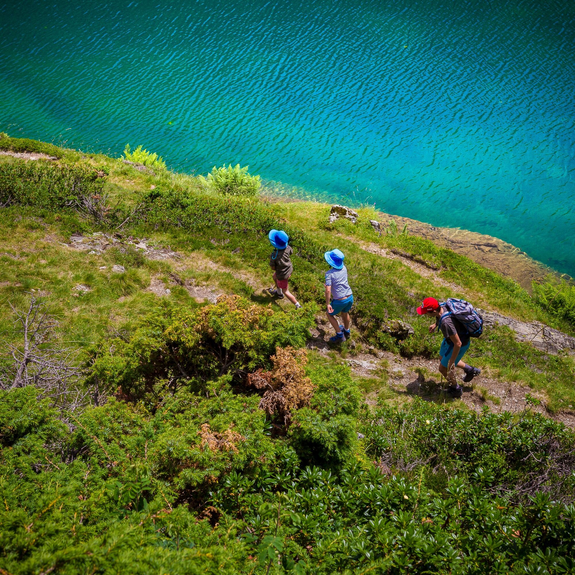
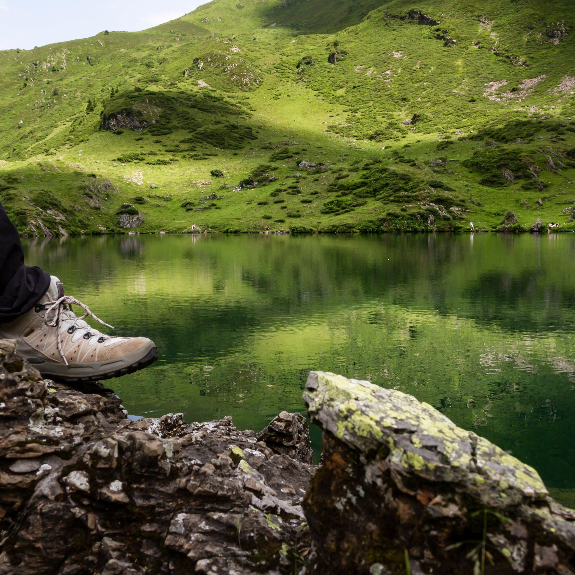
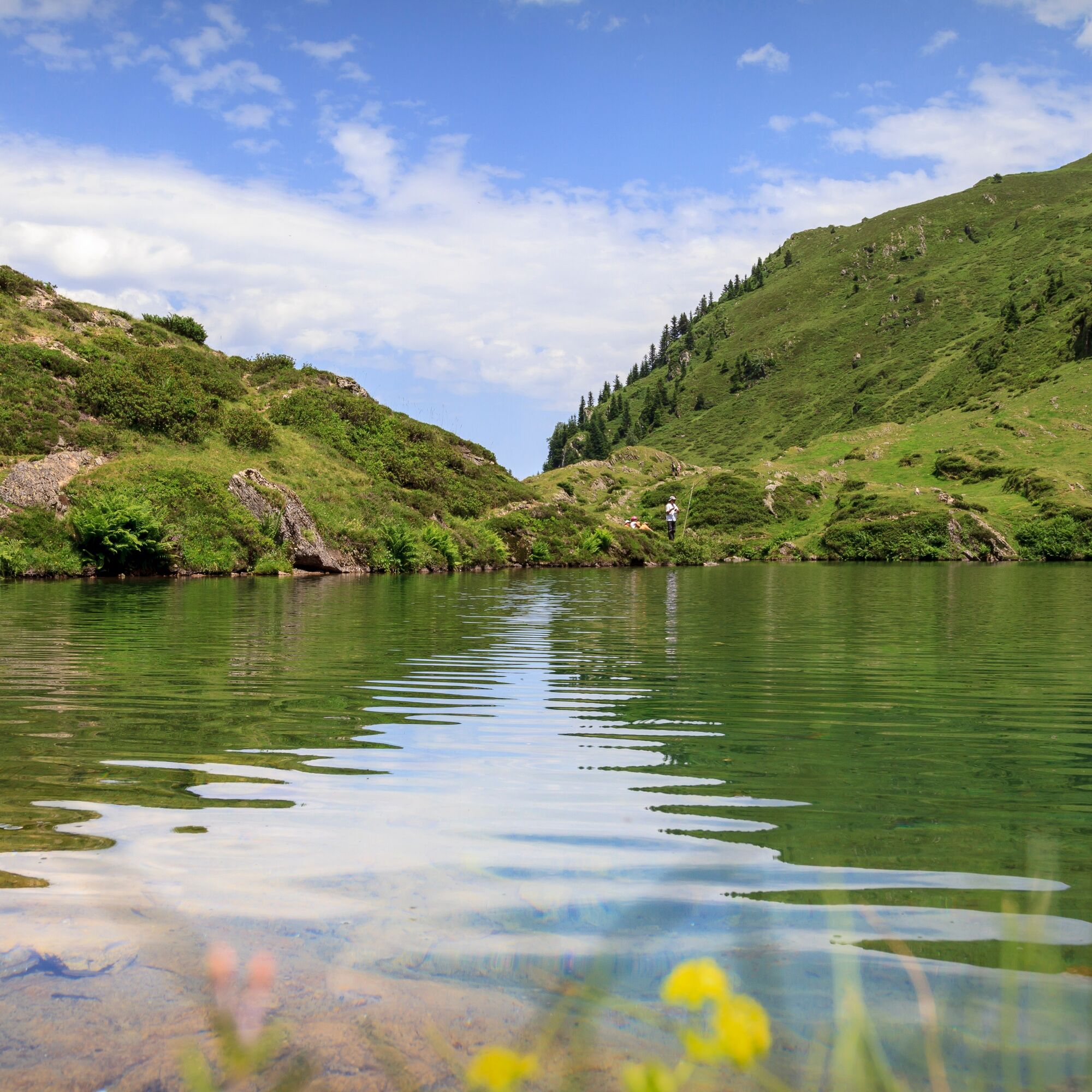

Informácie o trase
Trasa
Depart Mount Ner car park 0 h 1 395 m Continue on foot along the forest track for one hour to reach the
Cirque and Cabane de Campuls 1h 05 1400 m Walk past the hut and up the grassy path to the left. This path narrows and winds up to a crossroads. Turn right, again uphill but less steeply, to reach the
GR10 1h 50 1690 m Take the GR to the right and let it lead you effortlessly to the lake as far as the
Étang d'Ayès 2h 00 1 694 m
To return, follow the path for 20 minutes, then descend on the path to the left of the Eliet hut.
Col d'Auédole 2 h20 1 725 m The path plunges into the forest (steep descent) to join the
Eychelle car park 3h 00 1395 m
Cirque and Cabane de Campuls 1h 05 1400 m Walk past the hut and up the grassy path to the left. This path narrows and winds up to a crossroads. Turn right, again uphill but less steeply, to reach the
GR10 1h 50 1690 m Take the GR to the right and let it lead you effortlessly to the lake as far as the
Étang d'Ayès 2h 00 1 694 m
To return, follow the path for 20 minutes, then descend on the path to the left of the Eliet hut.
Col d'Auédole 2 h20 1 725 m The path plunges into the forest (steep descent) to join the
Eychelle car park 3h 00 1395 m
Ďalšie informácie a tipy
Ďalšie informácie
You are in the heart of the Ariège Pyrenees Natural Park.
We encourage you to adopt responsible behavior in this fragile and shared environment.
- Stay on the trails and carry out your waste.
- Observe the flora without picking it.
- Remain discreet for the wild animals.
- In grazing areas, remember to close fences and gates. Do not approach or feed the animals. If a Patou (livestock guardian dog) approaches you, slowly and calmly move away. No sudden movements or shouting, even if it barks, as it would consider you a threat. If it follows you, ignore it.
- Swimming in the lakes of the Bethmale municipality is prohibited. This includes the lakes of Bethmale, Ayes, Eychelle, Milouga, Arouech, and Cruzous. (Order AR-2024-004 dated 12/05/2024)
- Camping is allowed, but only between 7 p.m. and 9 a.m., and at more than one hour walk from a parking area.
- During drought periods, all fires are forbidden. In other cases, fires are only allowed more than 200m from a forest. Prefer stoves to natural fire pits.
- In case of a very unlikely encounter with a bear (which will try at all costs to avoid us): calmly make your presence known, gradually move away, and do not run.
We encourage you to adopt responsible behavior in this fragile and shared environment.
- Stay on the trails and carry out your waste.
- Observe the flora without picking it.
- Remain discreet for the wild animals.
- In grazing areas, remember to close fences and gates. Do not approach or feed the animals. If a Patou (livestock guardian dog) approaches you, slowly and calmly move away. No sudden movements or shouting, even if it barks, as it would consider you a threat. If it follows you, ignore it.
- Swimming in the lakes of the Bethmale municipality is prohibited. This includes the lakes of Bethmale, Ayes, Eychelle, Milouga, Arouech, and Cruzous. (Order AR-2024-004 dated 12/05/2024)
- Camping is allowed, but only between 7 p.m. and 9 a.m., and at more than one hour walk from a parking area.
- During drought periods, all fires are forbidden. In other cases, fires are only allowed more than 200m from a forest. Prefer stoves to natural fire pits.
- In case of a very unlikely encounter with a bear (which will try at all costs to avoid us): calmly make your presence known, gradually move away, and do not run.
Zatiaľ žiadne recenzie
Obľúbené výlety v okolí
-
Mont Valier via the Milouga pond
ťažkéTuristika 21,2 km -
Mont Valier
ťažkéTuristika 17,6 km -
5,0
Pic du Maubermé
ťažkéTuristika 11,8 km -
Tour of Mail des Morères
strednáTuristika 8,34 km -
Tour du Biros
ťažkéTuristika 50,4 km -
Mail Blanc Circuit
svetloTuristika 10,8 km -
On the footsteps of the Hadas
svetloTuristika 2,32 km -
GR 10 Couserans Pyrénées - Castillon
ťažkéTuristika 37,2 km -
Tour of Mont Valier
ťažkéTuristika 77,6 km -
The Tour Sainte Catherine
svetloTuristika 4,27 km
Turistika a stopovanie

Viac ako 550.000 návrhov výletov, podrobné mapy a intuitívny plánovač trás robia z aplikácie povinnú výbavu pre všetkých nadšencov prírody.

Nenechajte si ujsť ponuky a inšpiráciu na ďalšiu dovolenku
Prihlásiť sa k odberu noviniek
Chyba
Vyskytla sa chyba. Prosím, skúste to znova.
Ďakujeme za vašu registráciu
Vaša e-mailová adresa bol pridaný do poštového zoznamu.
Zájazdy po celej Európe
Rakúsko
Švajčiarsko
Nemecko
Taliansko
Slovinsko
Francúzsko
Holandsko
Belgicko
Poľsko
Lichtenštajnsko
Česko
Slovensko
španielsko
Hrvaška
Bosna a Hercegovina
Luxembursko
Andorra
Portugalsko
Island
Spojené kráľovstvo
Írsko
Grécko
Albánsko
Severné Macedónsko
Malta
Nórsko
Čierna Hora
Moldavsko
Kosovo
Maďarsko
San Maríno
Rumunsko
Estónsko
Lotyšsko
Bielorusko
Cyprus
Litva
Srbsko
Bulharsko
Monako
Dánsko
Švédsko
Fínsko





