Pic du Maubermé
ťažké
Získajte túto prehliadku v mobilnom telefóne
Pic du Maubermé
ťažké
Turistika
11,85
km
Naskenujte kód QR a spustite navigáciu v aplikácii bergfex


Turistika a stopovanie





Pic du Maubermé
ťažké
Vzdialenosť
11,85
km
Trvanie
10:00
h
Ascent
1 853
hm
Hladina mora
951 -
2 846
m
Stiahnutie skladby
Pic du Maubermé
ťažké
Turistika
11,85
km
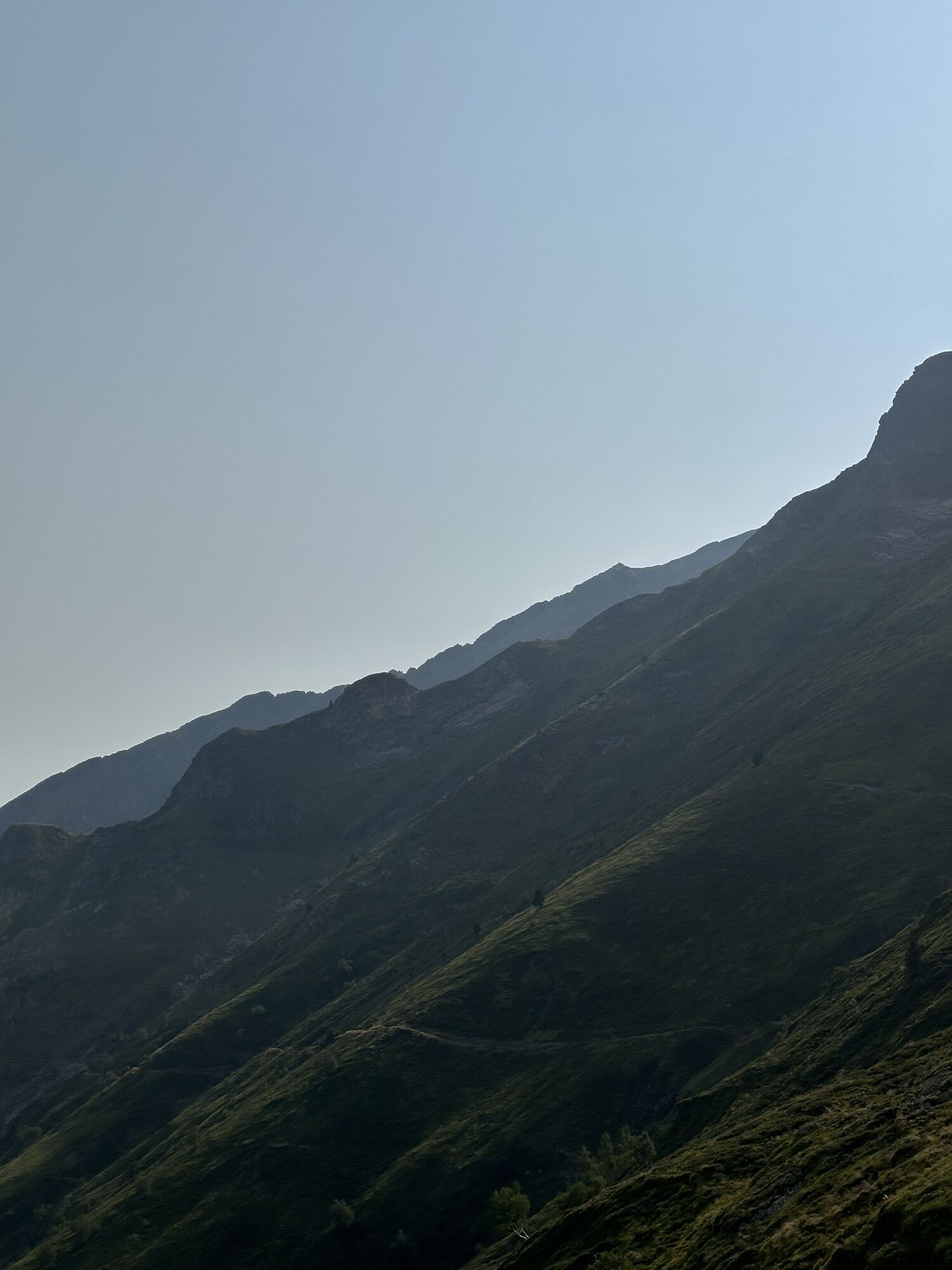
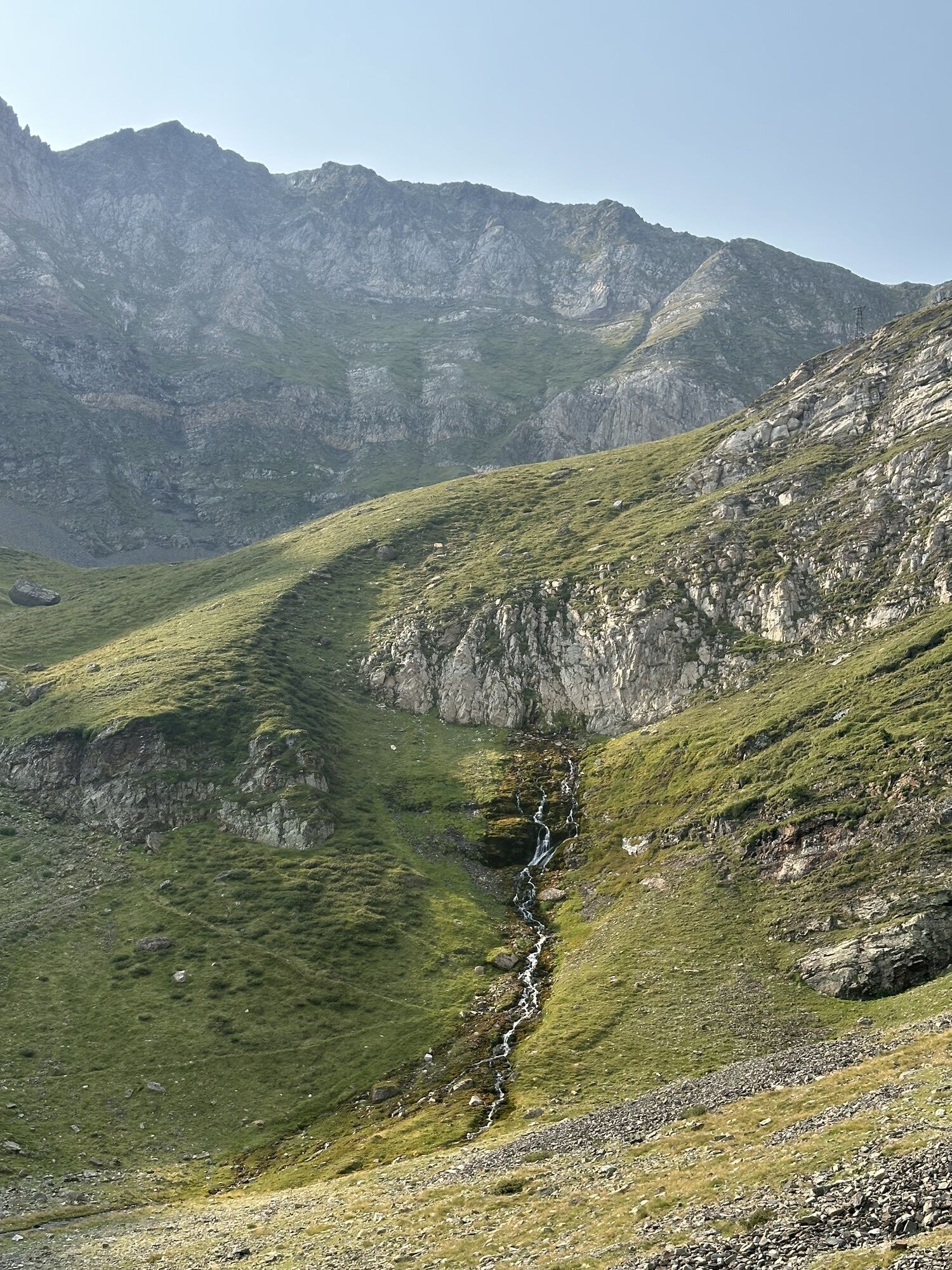
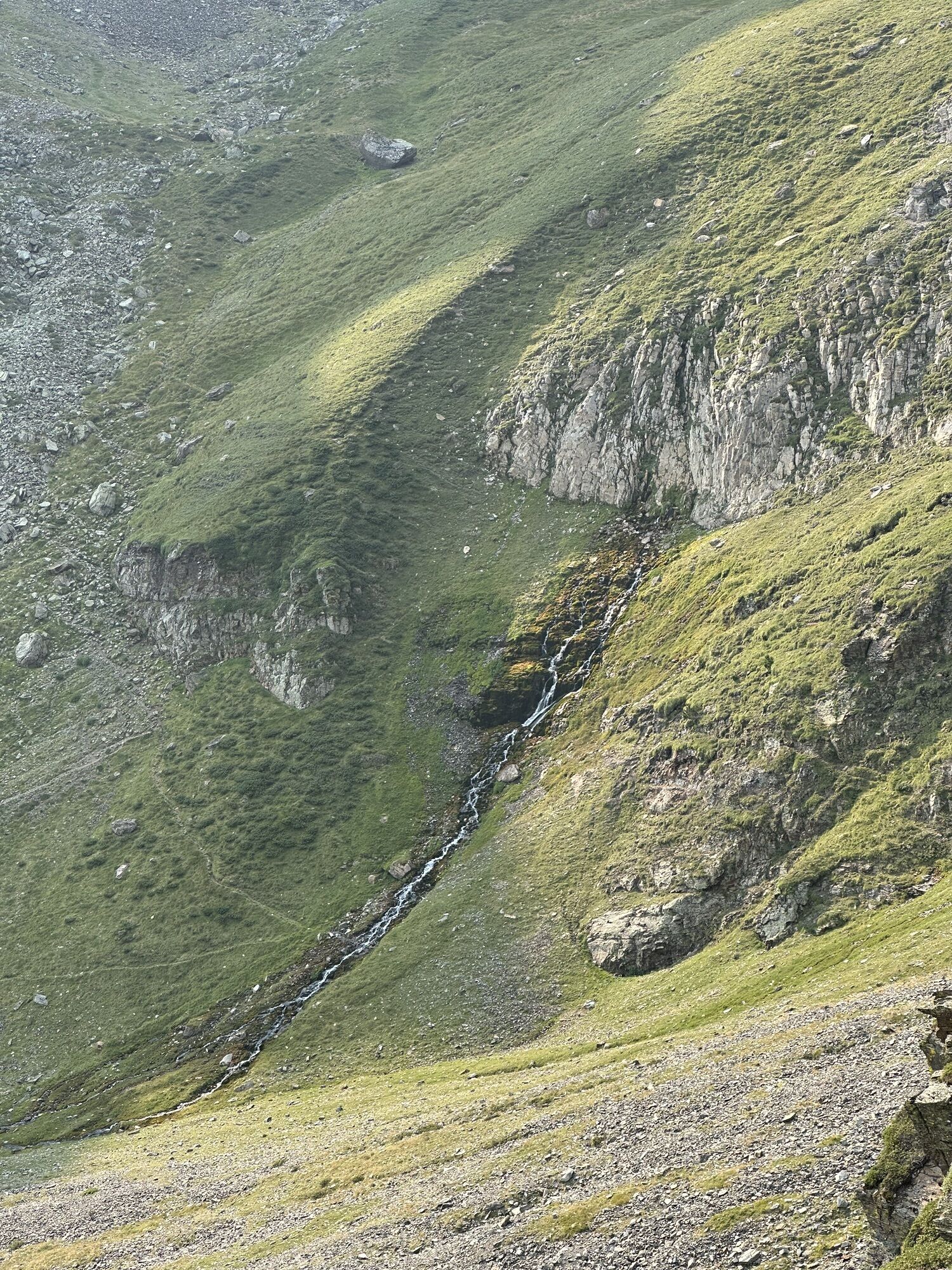
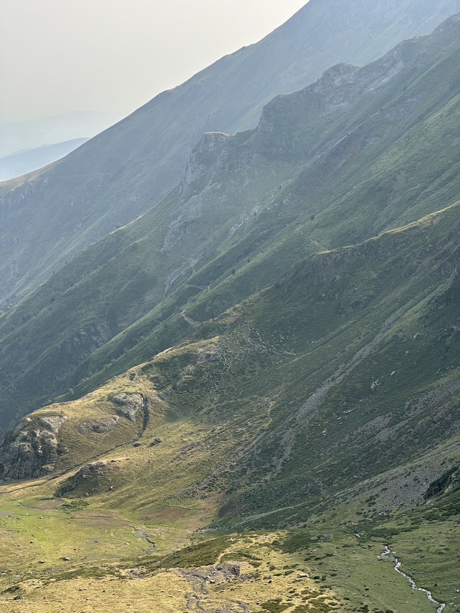
Trasa
Gite d'Étape d'Eylie
(991 m)
Úkryt
0,0 km
Cabane d'Haou
(1 350 m)
Útočisko (nespravované)
3,6 km
Source Hount dé Mimur
(1 907 m)
Zdroj
6,6 km
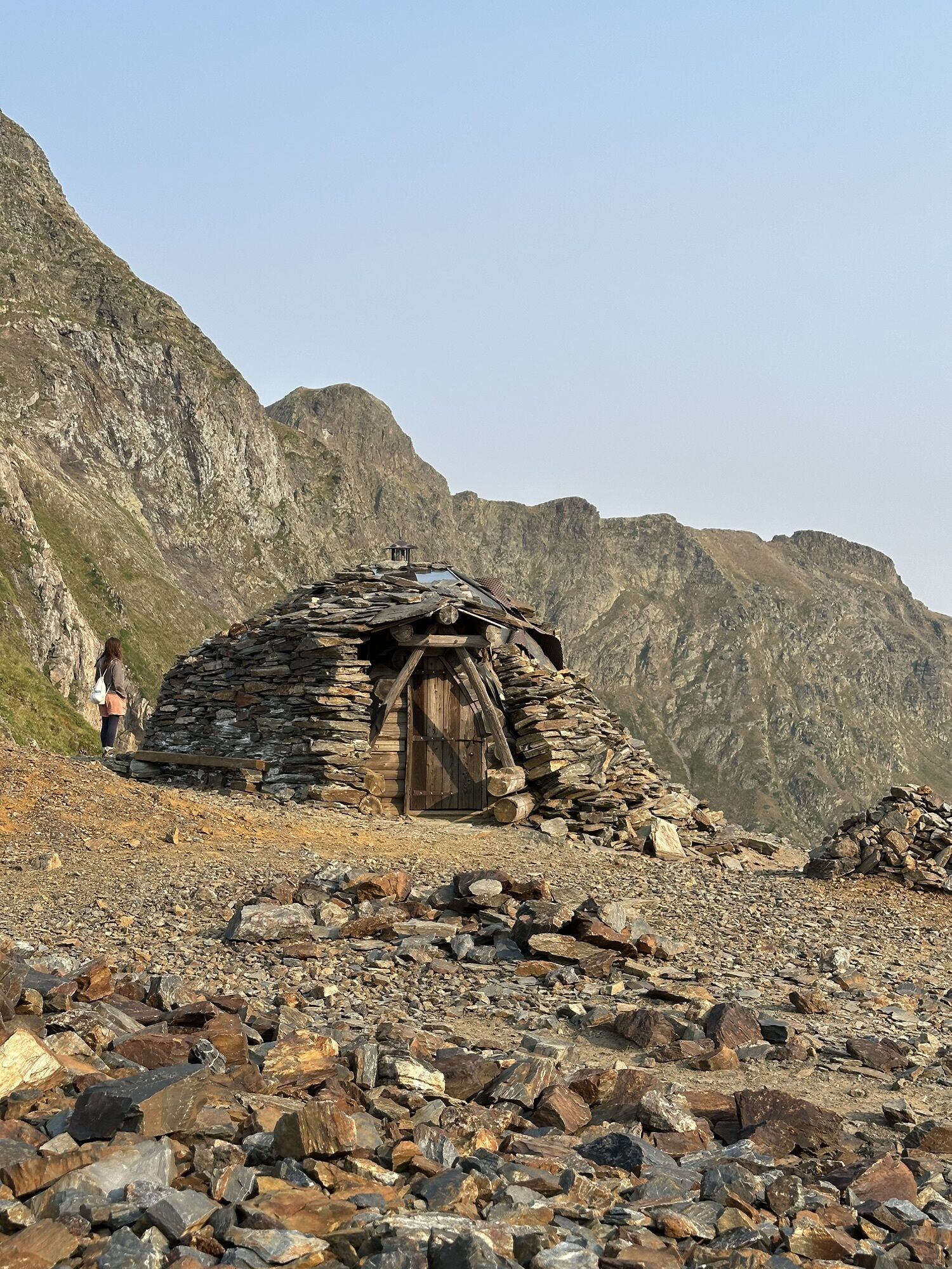
Cabana de Pòrt d'Urets
(2 533 m)
Útočisko (nespravované)
9,8 km
Pales de Maubèrme
(2 552 m)
Koridor/terén
10,5 km
Pic de Maubermé / Tuc de Maubèrme
(2 881 m)
Summit
11,8 km
Trasa
Pic du Maubermé
ťažké
Turistika
11,85
km
Eylie d'en Haut
(991 m)
Zúčtovanie
0,0 km
Gite d'Étape d'Eylie
(991 m)
Úkryt
0,0 km
Cabane d'Haou
(1 350 m)
Útočisko (nespravované)
3,6 km
Source Hount dé Mimur
(1 907 m)
Zdroj
6,6 km
Cabana de Pòrt d'Urets
(2 533 m)
Útočisko (nespravované)
9,8 km
Pales de Maubèrme
(2 552 m)
Koridor/terén
10,5 km
Pic de Maubermé / Tuc de Maubèrme
(2 881 m)
Summit
11,8 km


Informácie o trase
Trasa
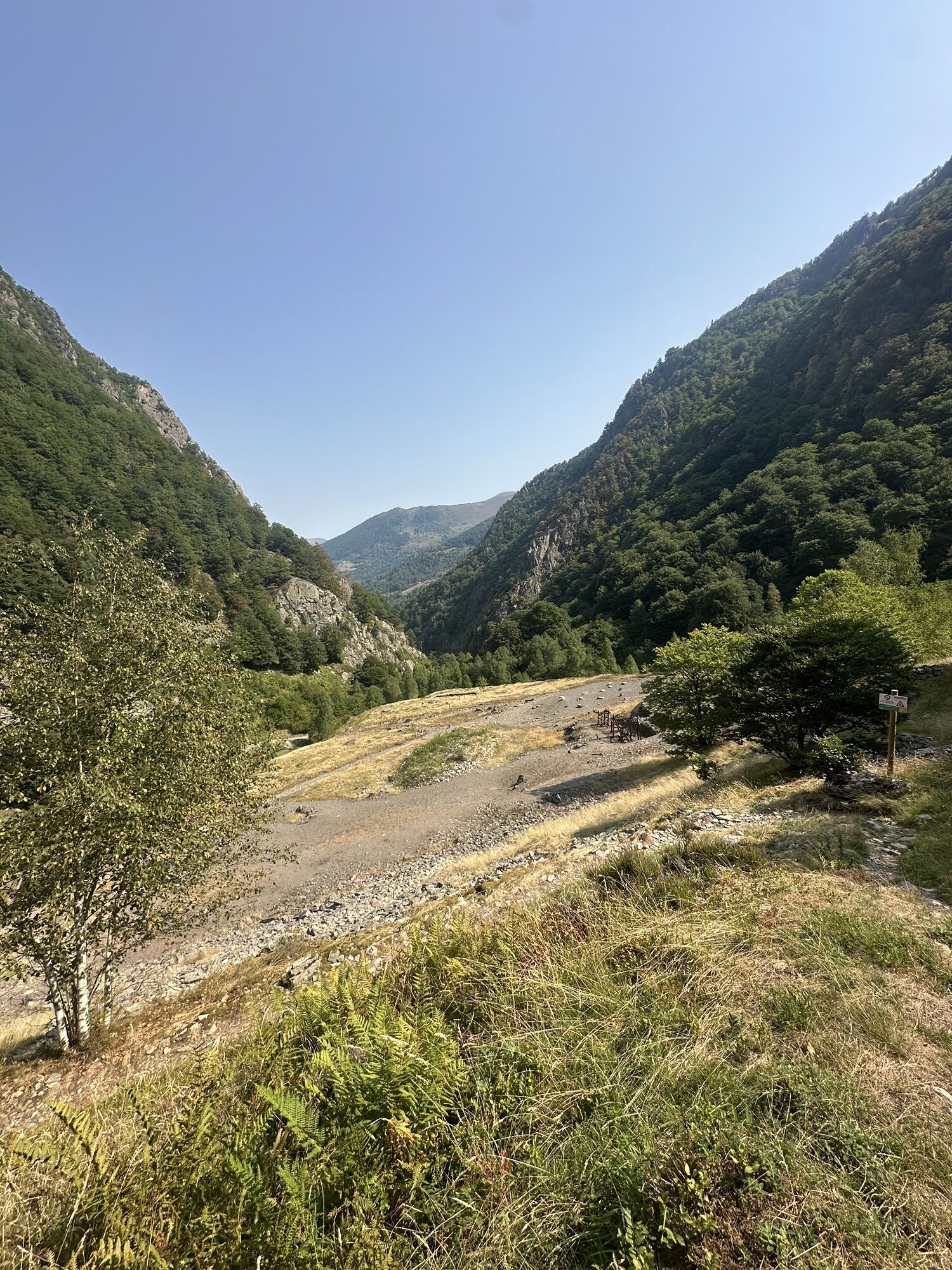
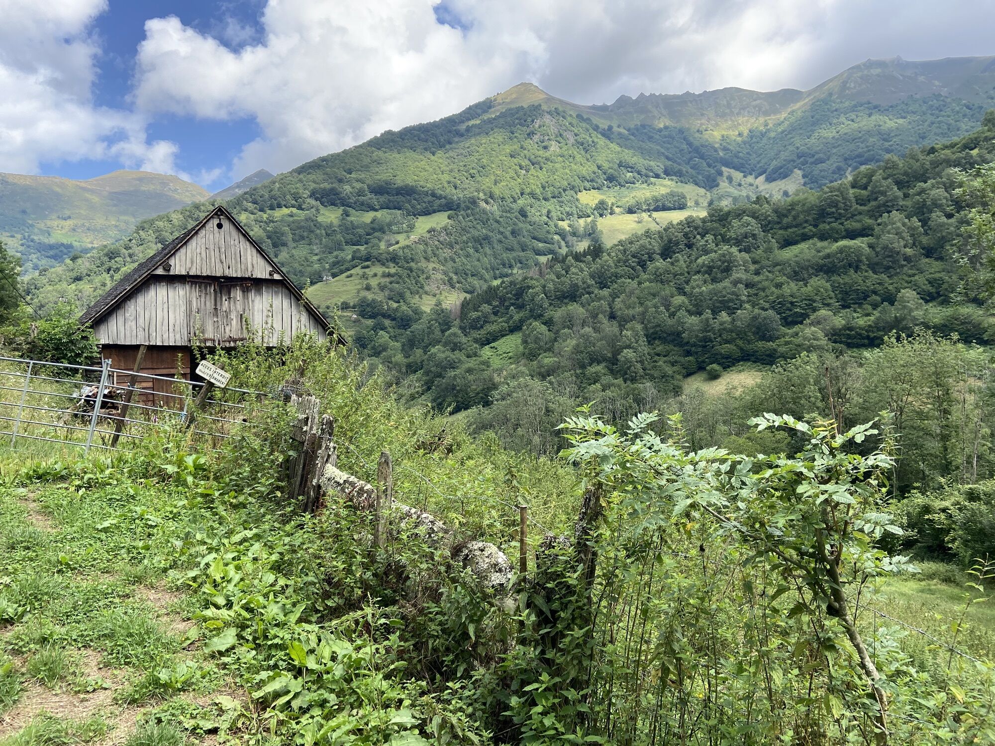
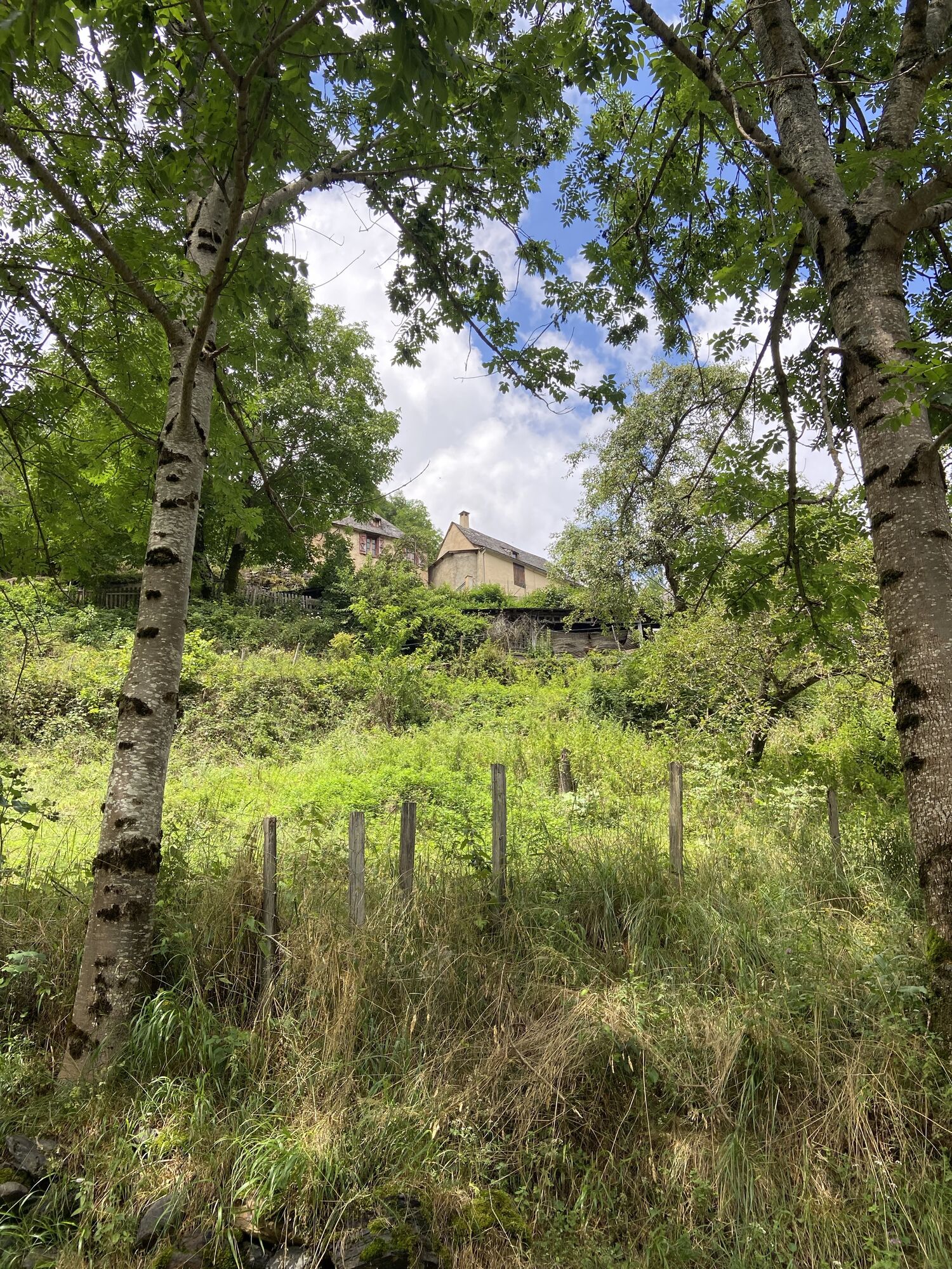
1/ Start - Take the trail that passes in front of the buildings of the old mining laundry and cross the stream. Continue on this trail until the junction to Port d'Urets.
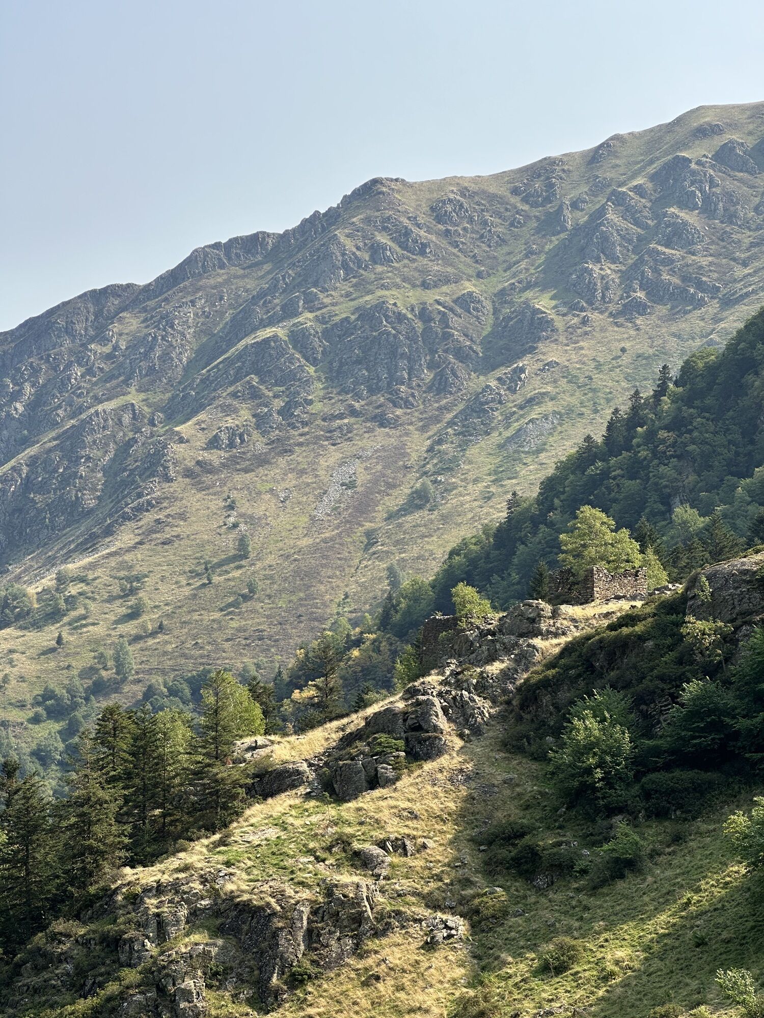
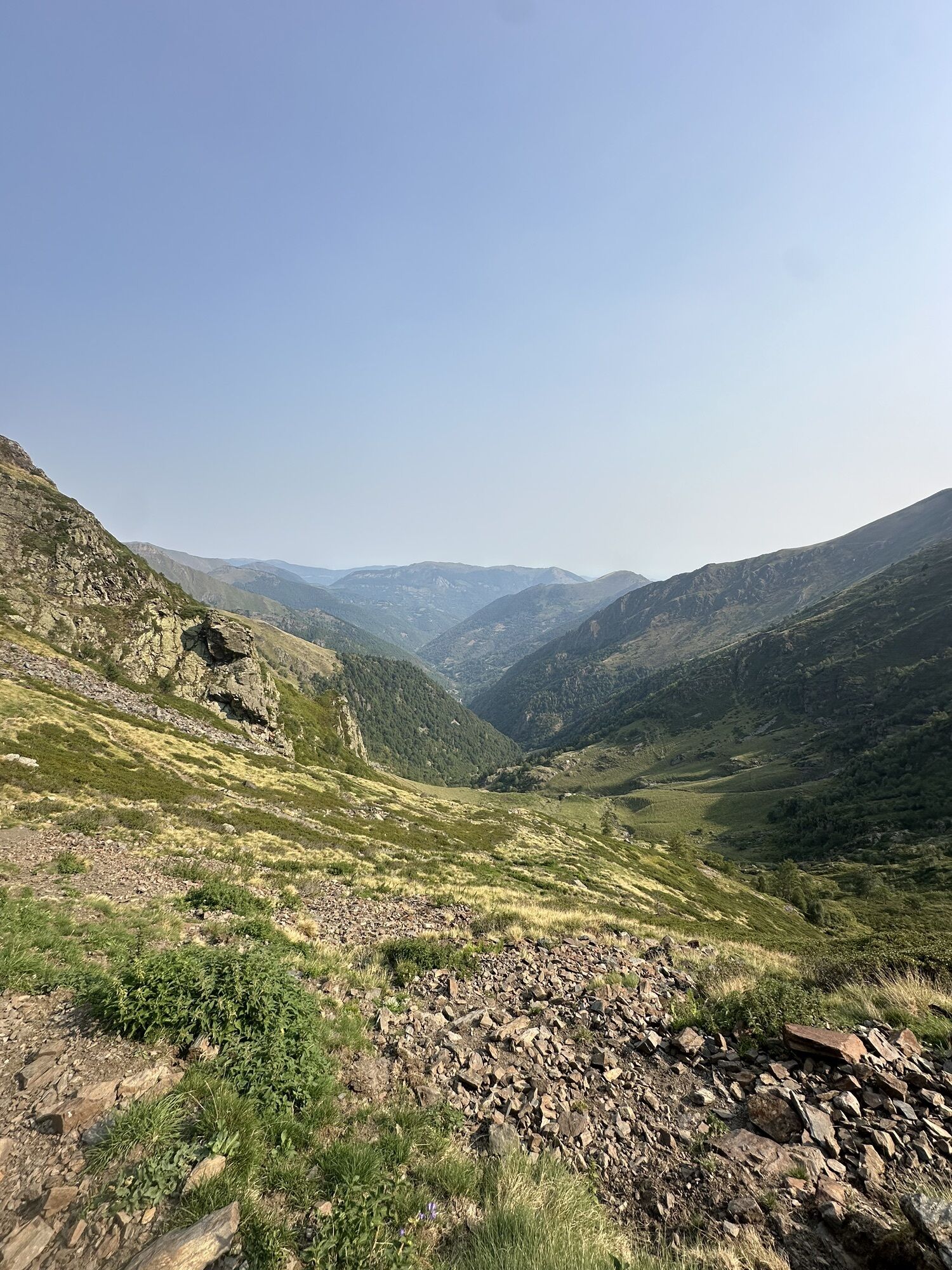
2/ Junction - Leave the trail to take the left on the transboundary long-distance hiking trail (GRT). Cross the stream and pass near the mining remains on your left. The slope suddenly steepens and the path climbs in zigzags through the forest. Follow the valley along the left bank of the stream until the
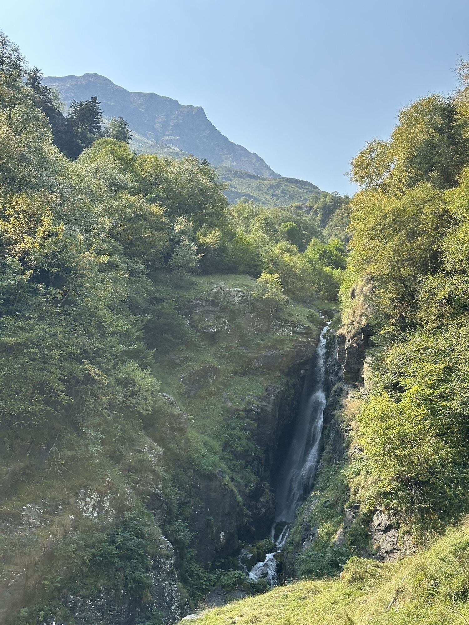
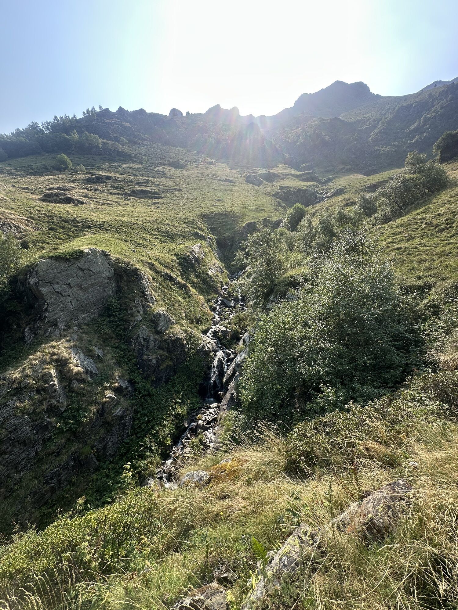
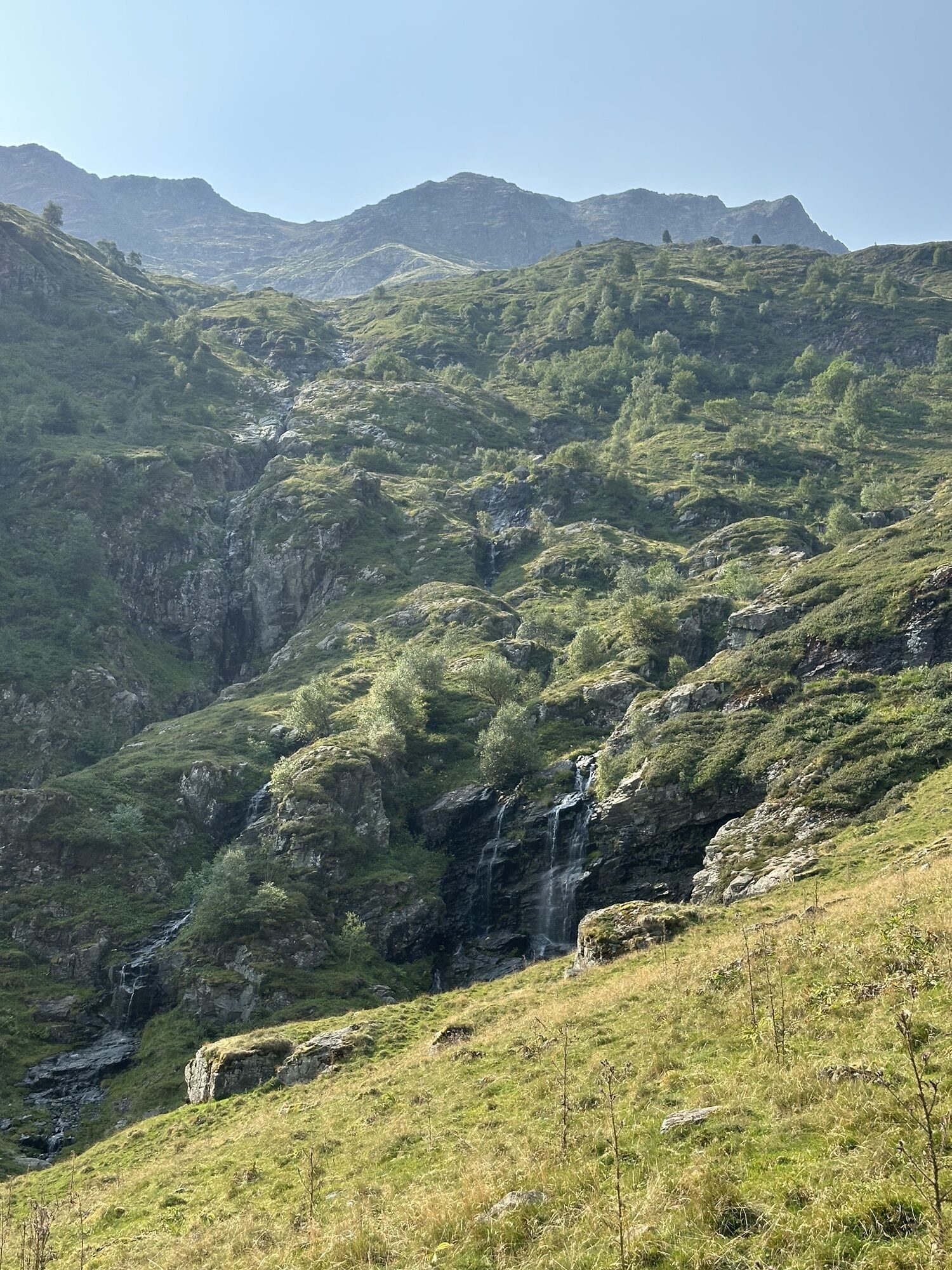
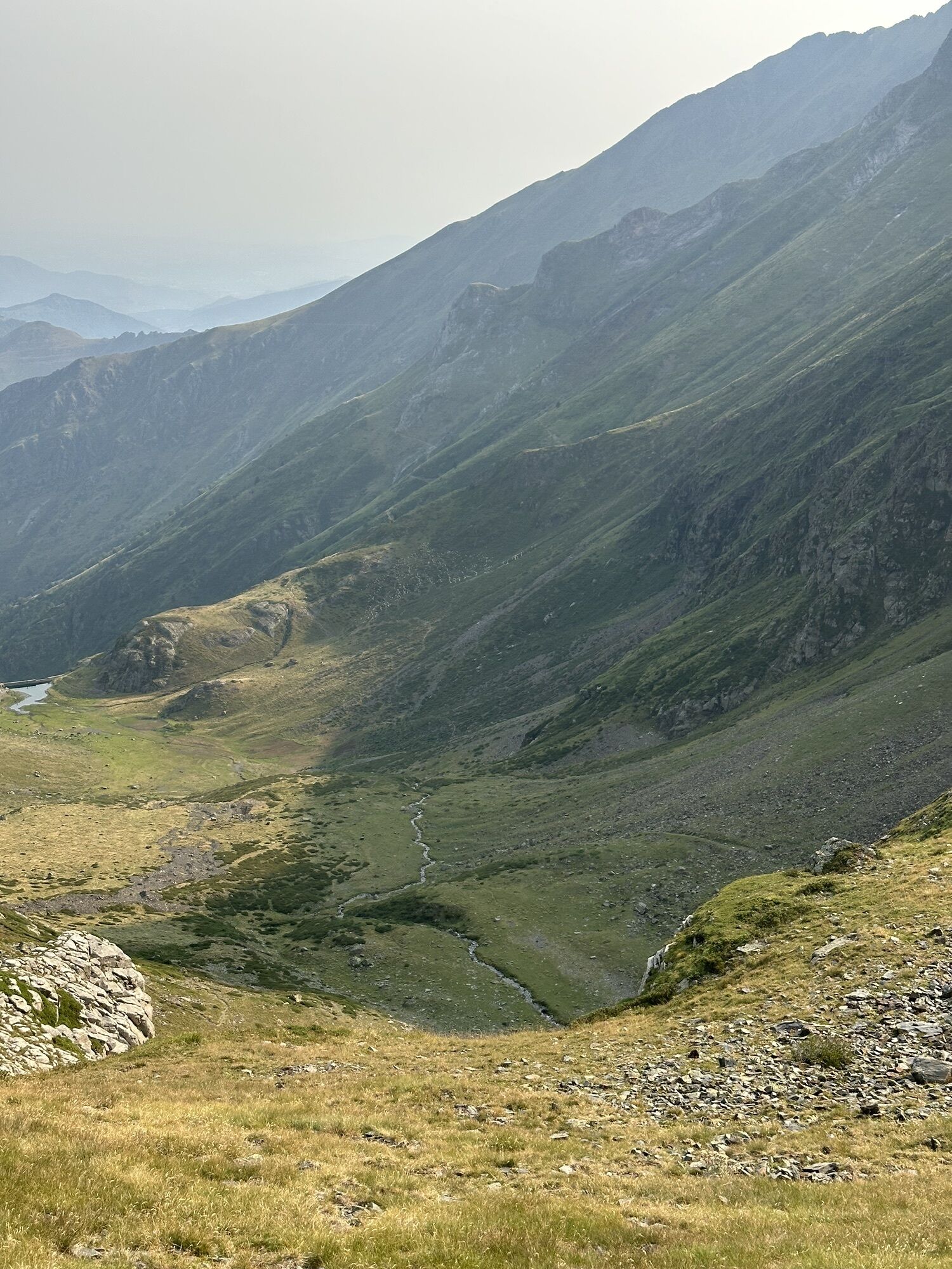
3/ Haou Hut 1h30 - 1360 m Continue after the hut to reach the foot of a waterfall which you will bypass via a zigzag climb on the right. The path heads again due south. Cross two small streams and pass near the Coumeda Hut which is well left behind. The ascent continues with a series of switchbacks and short crossings, finally reaching the dam hut of Urets.
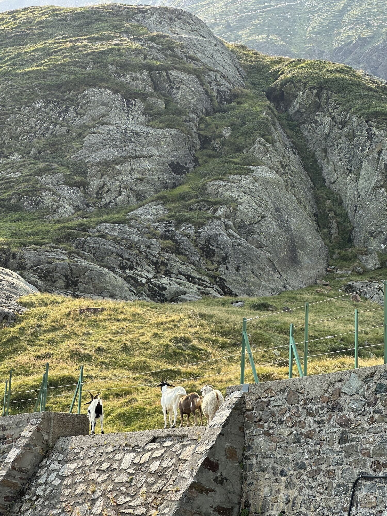
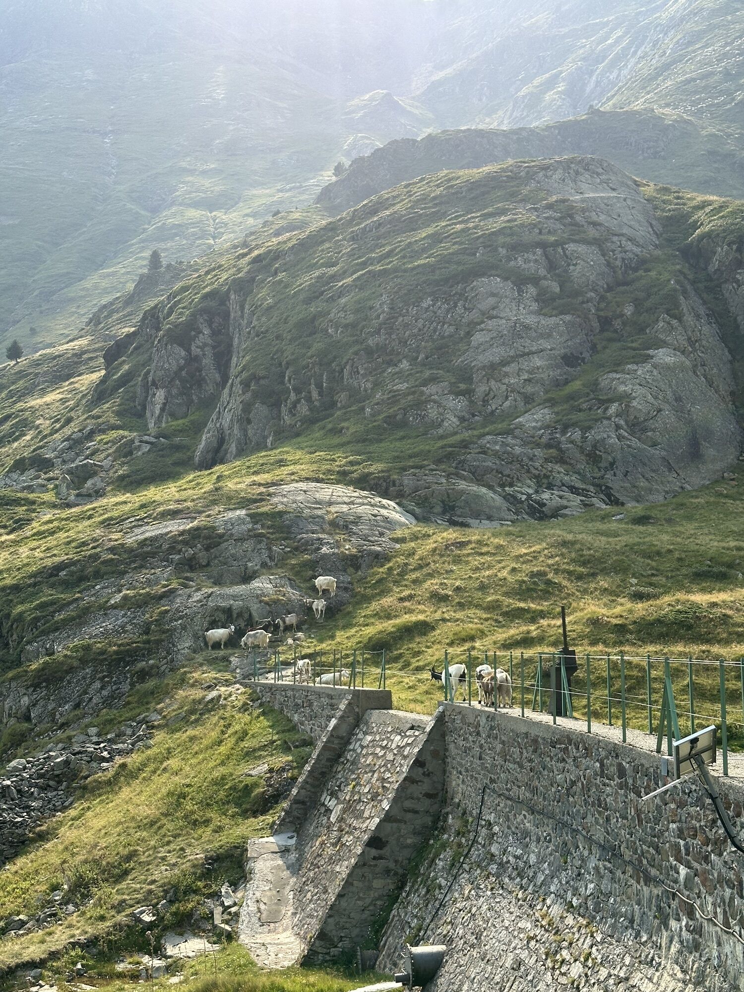
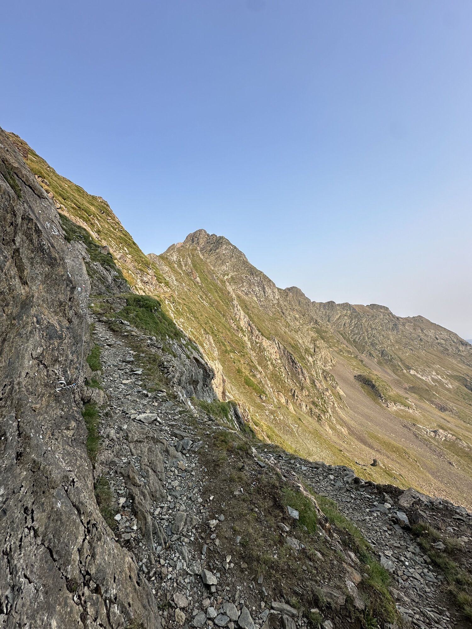
4/ Urets Dam and Hut 3h - 1947 m The path climbs into the cirque, first in the center then slowly bypasses it to the right. Around 2400 m the switchbacks tighten and the path, carved into the cliff, reaches Port d'Urets (beware, a tricky passage just before the pass is equipped with a handrail. A snowfield can persist until mid-July).
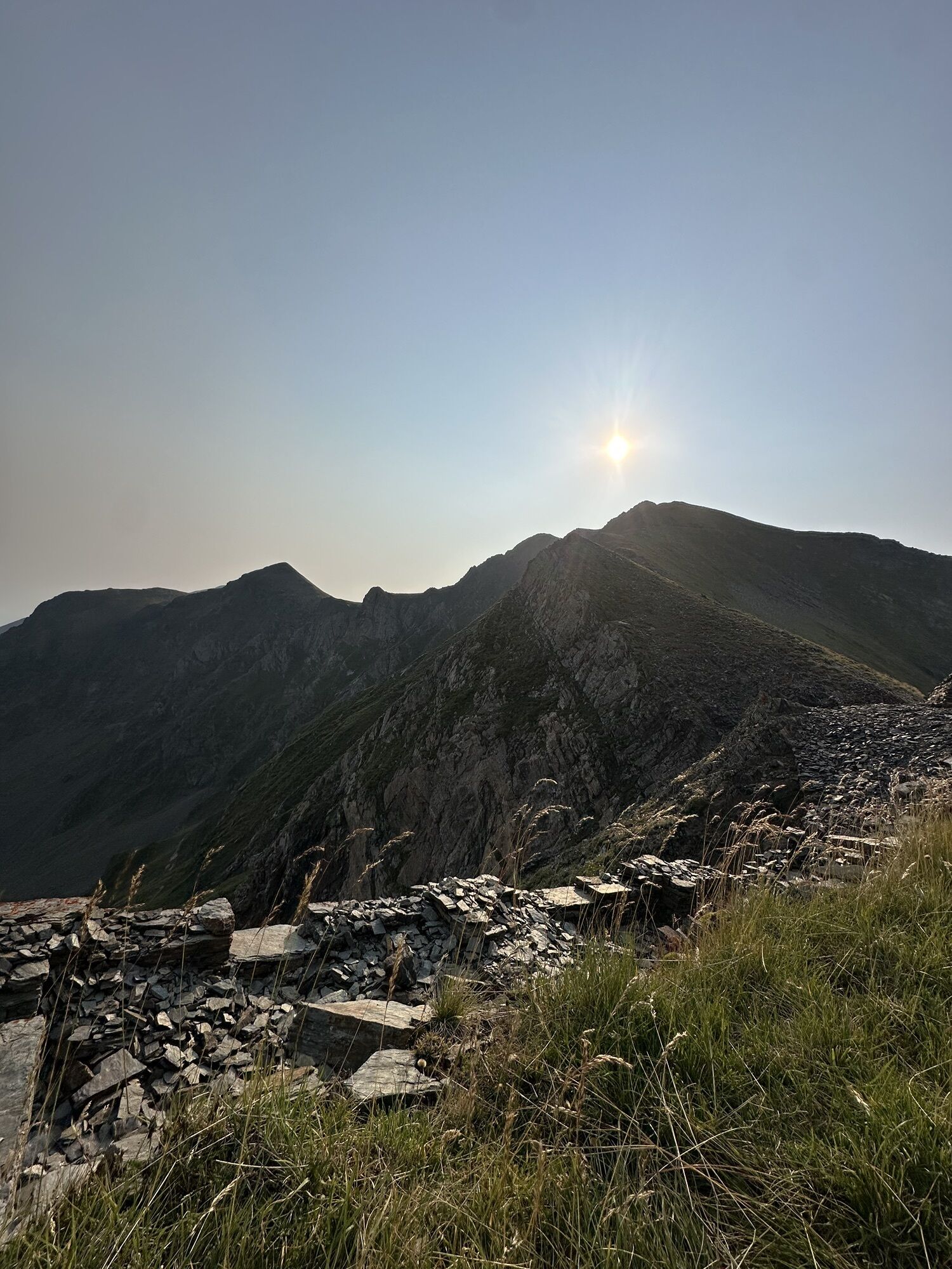
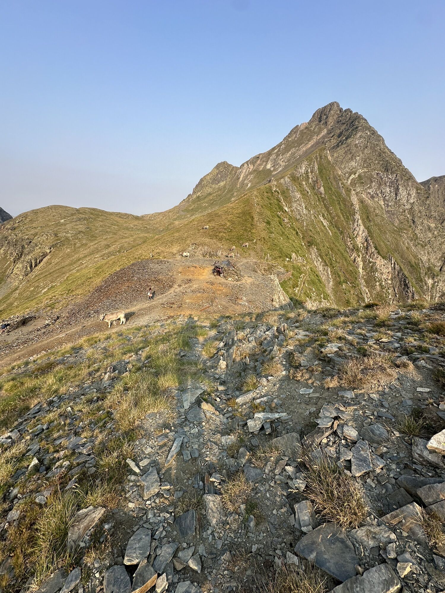
5/ Port d'Urets 4h30 - 2512 m (Orri 2-3 places) Take right towards the west, on the Spanish side, and continue on an almost flat path to reach after a quarter of an hour's walk the Maubermé pass. Continue the ascent on the trail marked by cairns which goes to the right. The track bypasses on the left the base of the southwest ridge of Maubermé, then climbs crossing to the right, due north. Finally, climb right through a scree gully (Beware of falling rocks if there are people or animals above!) and join the ridge up to the summit.
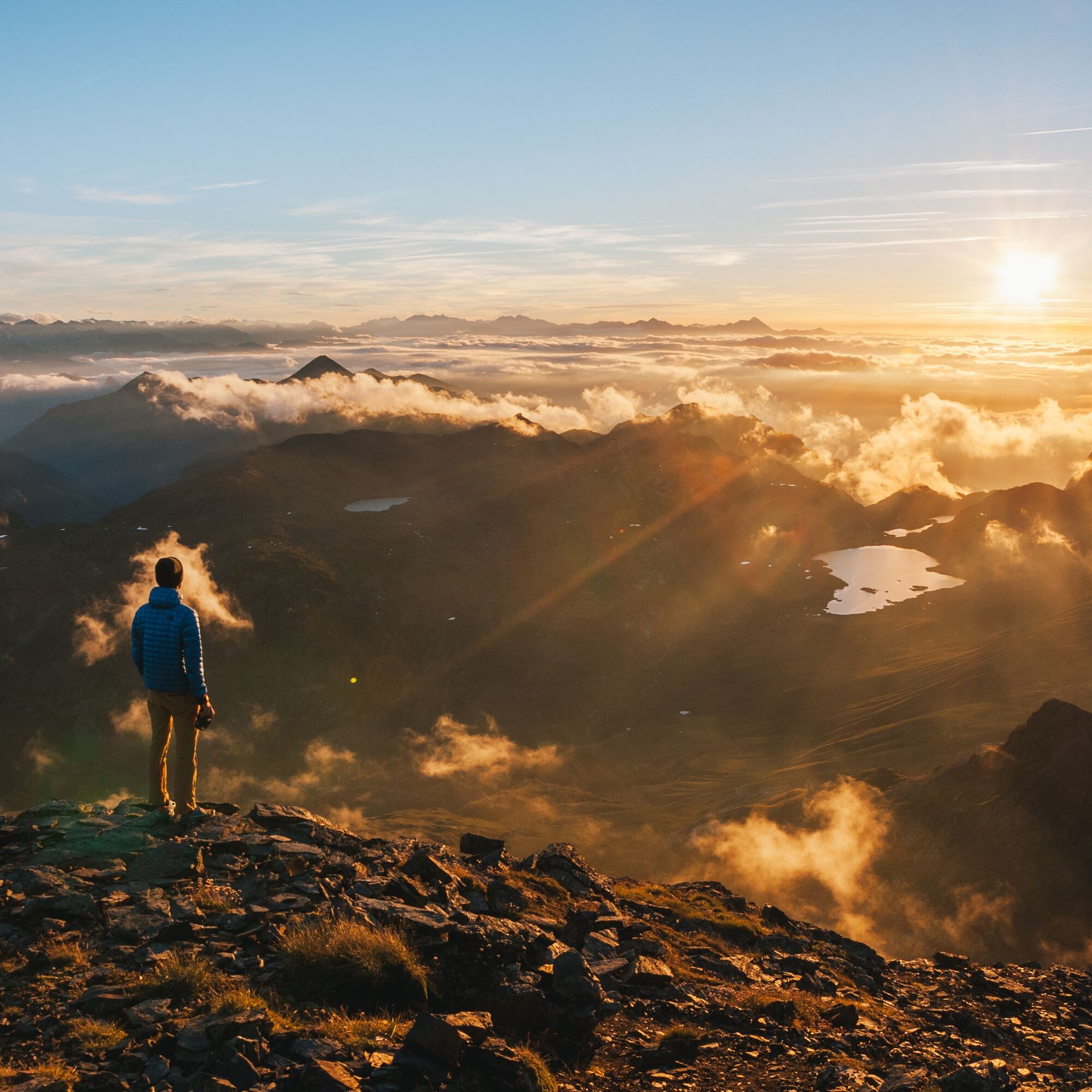
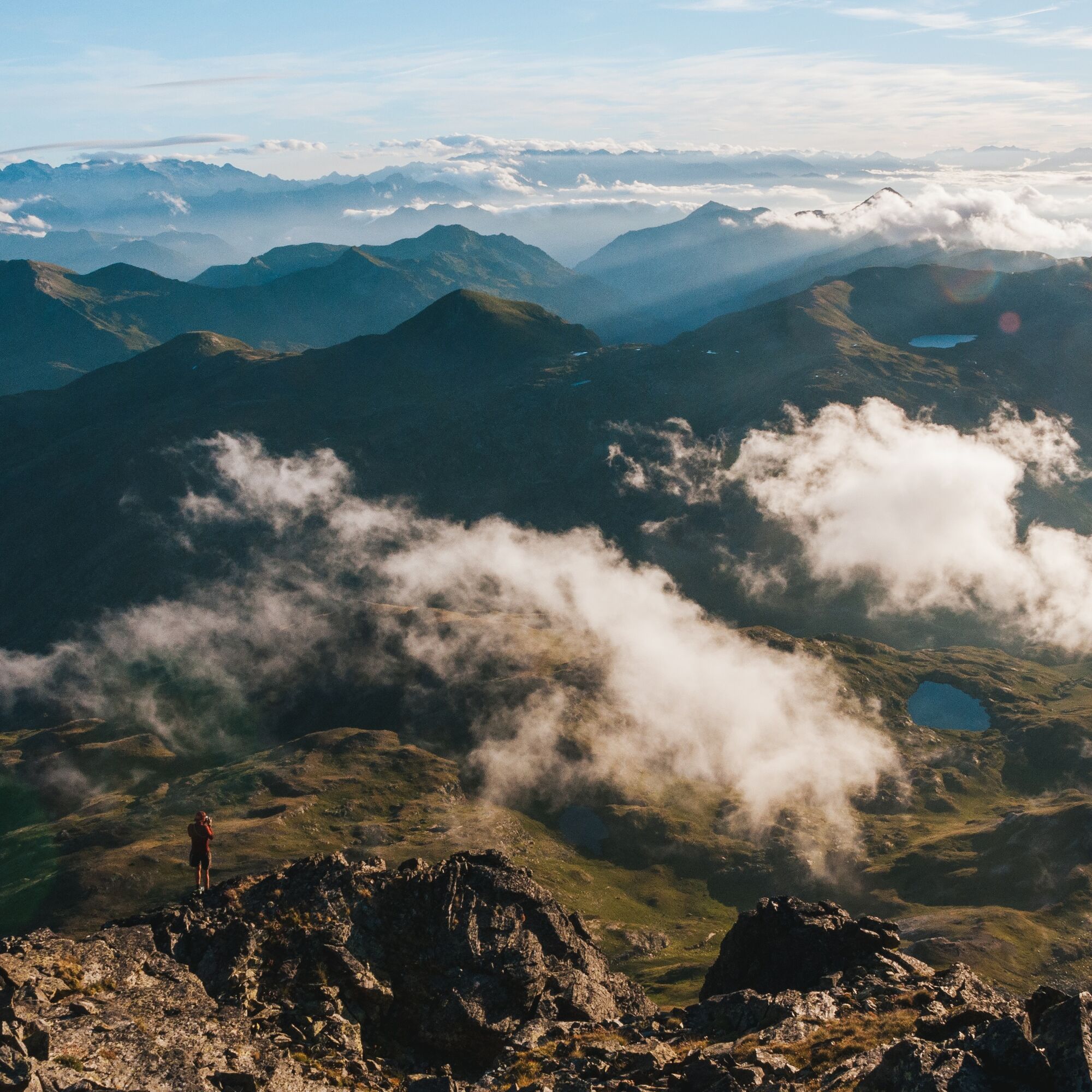
6/ Pic du Maubermé 5h45 - 2880 m Magnificent 360° panorama allowing you to admire the beautiful peaks of Couserans as well as the Maladeta massif and especially the highest point of the Pyrenees, the Aneto.
The return will be made by the same route to your starting point.
2/ Junction - Leave the trail to take the left on the transboundary long-distance hiking trail (GRT). Cross the stream and pass near the mining remains on your left. The slope suddenly steepens and the path climbs in zigzags through the forest. Follow the valley along the left bank of the stream until the
3/ Haou Hut 1h30 - 1360 m Continue after the hut to reach the foot of a waterfall which you will bypass via a zigzag climb on the right. The path heads again due south. Cross two small streams and pass near the Coumeda Hut which is well left behind. The ascent continues with a series of switchbacks and short crossings, finally reaching the dam hut of Urets.
4/ Urets Dam and Hut 3h - 1947 m The path climbs into the cirque, first in the center then slowly bypasses it to the right. Around 2400 m the switchbacks tighten and the path, carved into the cliff, reaches Port d'Urets (beware, a tricky passage just before the pass is equipped with a handrail. A snowfield can persist until mid-July).
5/ Port d'Urets 4h30 - 2512 m (Orri 2-3 places) Take right towards the west, on the Spanish side, and continue on an almost flat path to reach after a quarter of an hour's walk the Maubermé pass. Continue the ascent on the trail marked by cairns which goes to the right. The track bypasses on the left the base of the southwest ridge of Maubermé, then climbs crossing to the right, due north. Finally, climb right through a scree gully (Beware of falling rocks if there are people or animals above!) and join the ridge up to the summit.
6/ Pic du Maubermé 5h45 - 2880 m Magnificent 360° panorama allowing you to admire the beautiful peaks of Couserans as well as the Maladeta massif and especially the highest point of the Pyrenees, the Aneto.
The return will be made by the same route to your starting point.
Jednosmerná prehliadka
Áno
Ďalšie informácie a tipy
Ďalšie informácie
You are in the heart of the Ariège Pyrenees Natural Park.
We encourage you to adopt responsible behavior in this fragile and shared environment.
- Stay on the trails and take your trash with you.
- Observe the flora without picking it.
- Stay discreet for the wild animals.
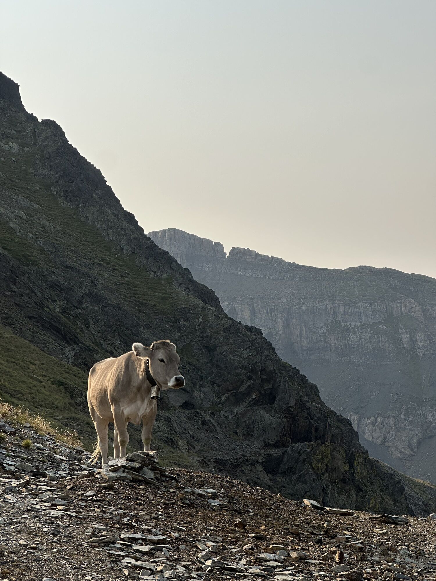
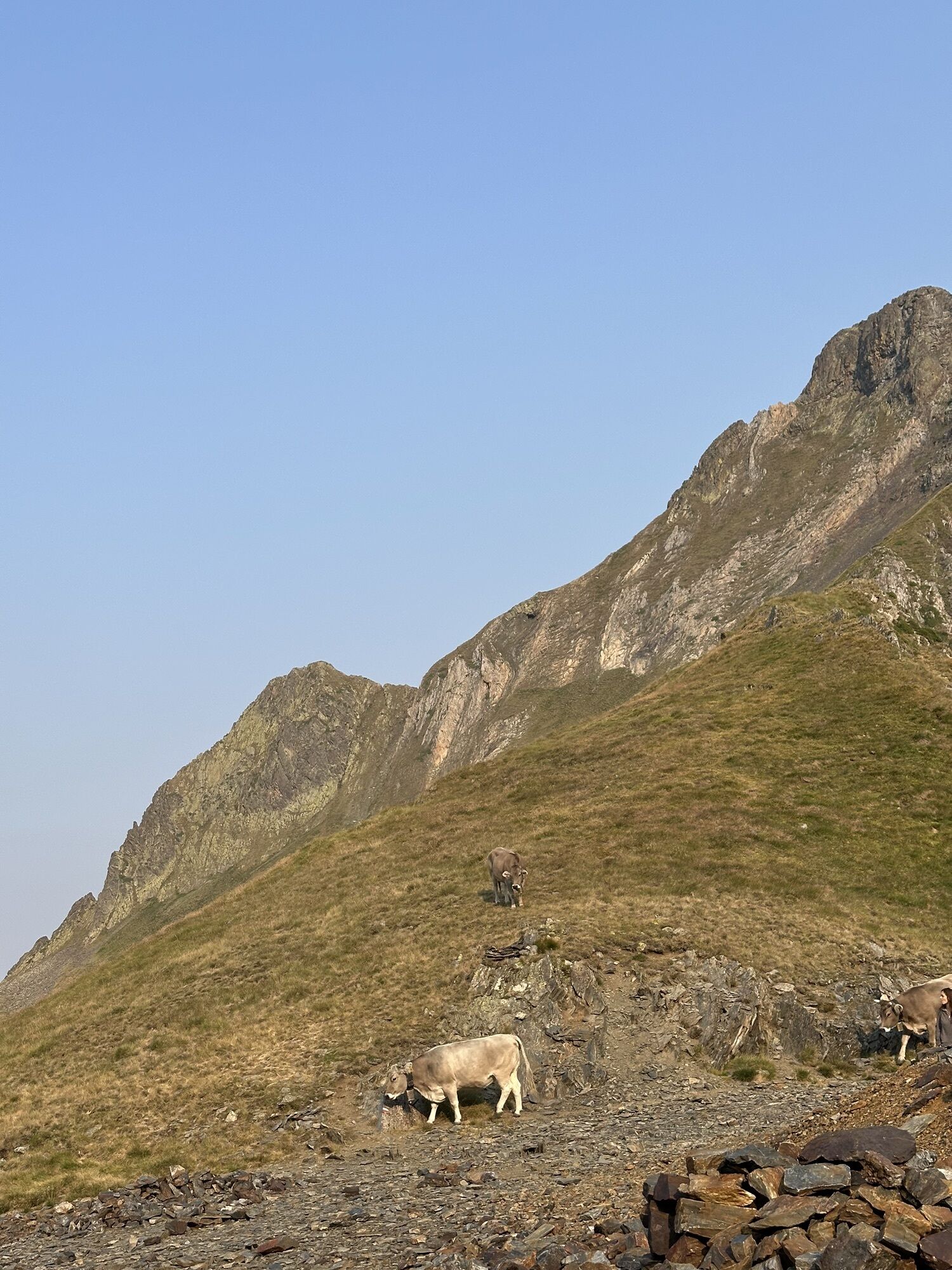
- In the summer grazing areas, remember to close fences and gates. Do not approach or feed the animals. If a Patou (livestock guardian dog) approaches you, move away slowly and calmly. No sudden movements or shouting, even if it barks, as it would consider you a threat. If it follows you, ignore it.
- Swimming in lakes is discouraged. Sunscreen (even organic!) and other cosmetics are sources of pollution in this fragile environment.
- Camping is allowed, but only between 7 PM and 9 AM, and at least one hour's walk from a parking area.
- During dry periods, all fires are prohibited. Otherwise, fires are only allowed more than 200m from a forest. Prefer camping stoves to natural fireplaces.
- In the very unlikely event of encountering a bear (which is trying its best to avoid us): make yourself heard calmly, move away gradually, and do not run.
We encourage you to adopt responsible behavior in this fragile and shared environment.
- Stay on the trails and take your trash with you.
- Observe the flora without picking it.
- Stay discreet for the wild animals.
- In the summer grazing areas, remember to close fences and gates. Do not approach or feed the animals. If a Patou (livestock guardian dog) approaches you, move away slowly and calmly. No sudden movements or shouting, even if it barks, as it would consider you a threat. If it follows you, ignore it.
- Swimming in lakes is discouraged. Sunscreen (even organic!) and other cosmetics are sources of pollution in this fragile environment.
- Camping is allowed, but only between 7 PM and 9 AM, and at least one hour's walk from a parking area.
- During dry periods, all fires are prohibited. Otherwise, fires are only allowed more than 200m from a forest. Prefer camping stoves to natural fireplaces.
- In the very unlikely event of encountering a bear (which is trying its best to avoid us): make yourself heard calmly, move away gradually, and do not run.
Zatiaľ žiadne recenzie
Obľúbené výlety v okolí
-
Mont Valier via the Milouga pond
ťažkéTuristika 21,2 km -
Mont Valier
ťažkéTuristika 17,6 km -
Tour of Mail des Morères
strednáTuristika 8,34 km -
Tour du Biros
ťažkéTuristika 50,4 km -
Mail Blanc Circuit
svetloTuristika 10,8 km -
Pic du Crabère
ťažkéTuristika 23,4 km -
Étang d'Araing
ťažkéTuristika 17,7 km -
GR 10 Couserans Pyrénées - Castillon
ťažkéTuristika 37,2 km -
Étang d'Ayes
svetloTuristika 7,32 km -
GR10 Pyrenäenweg Etappe 30
svetlodiaľková pešia trasa 7,90 km
Turistika a stopovanie

Viac ako 550.000 návrhov výletov, podrobné mapy a intuitívny plánovač trás robia z aplikácie povinnú výbavu pre všetkých nadšencov prírody.

Nenechajte si ujsť ponuky a inšpiráciu na ďalšiu dovolenku
Prihlásiť sa k odberu noviniek
Chyba
Vyskytla sa chyba. Prosím, skúste to znova.
Ďakujeme za vašu registráciu
Vaša e-mailová adresa bol pridaný do poštového zoznamu.
Zájazdy po celej Európe
Rakúsko
Švajčiarsko
Nemecko
Taliansko
Slovinsko
Francúzsko
Holandsko
Belgicko
Poľsko
Lichtenštajnsko
Česko
Slovensko
španielsko
Hrvaška
Bosna a Hercegovina
Luxembursko
Andorra
Portugalsko
Island
Spojené kráľovstvo
Írsko
Grécko
Albánsko
Severné Macedónsko
Malta
Nórsko
Čierna Hora
Moldavsko
Kosovo
Maďarsko
San Maríno
Rumunsko
Estónsko
Lotyšsko
Bielorusko
Cyprus
Litva
Srbsko
Bulharsko
Monako
Dánsko
Švédsko
Fínsko





