






SENTIER DES MINES HIKING TRAIL
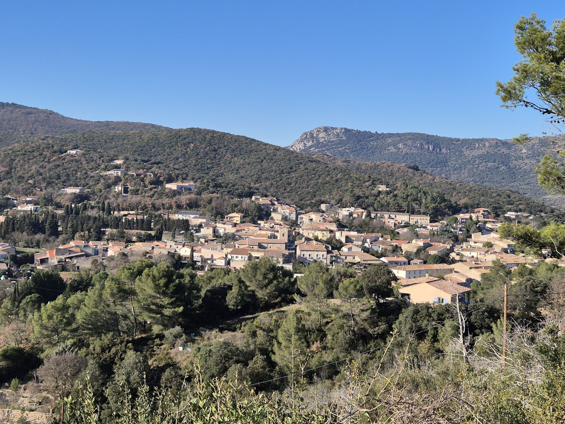
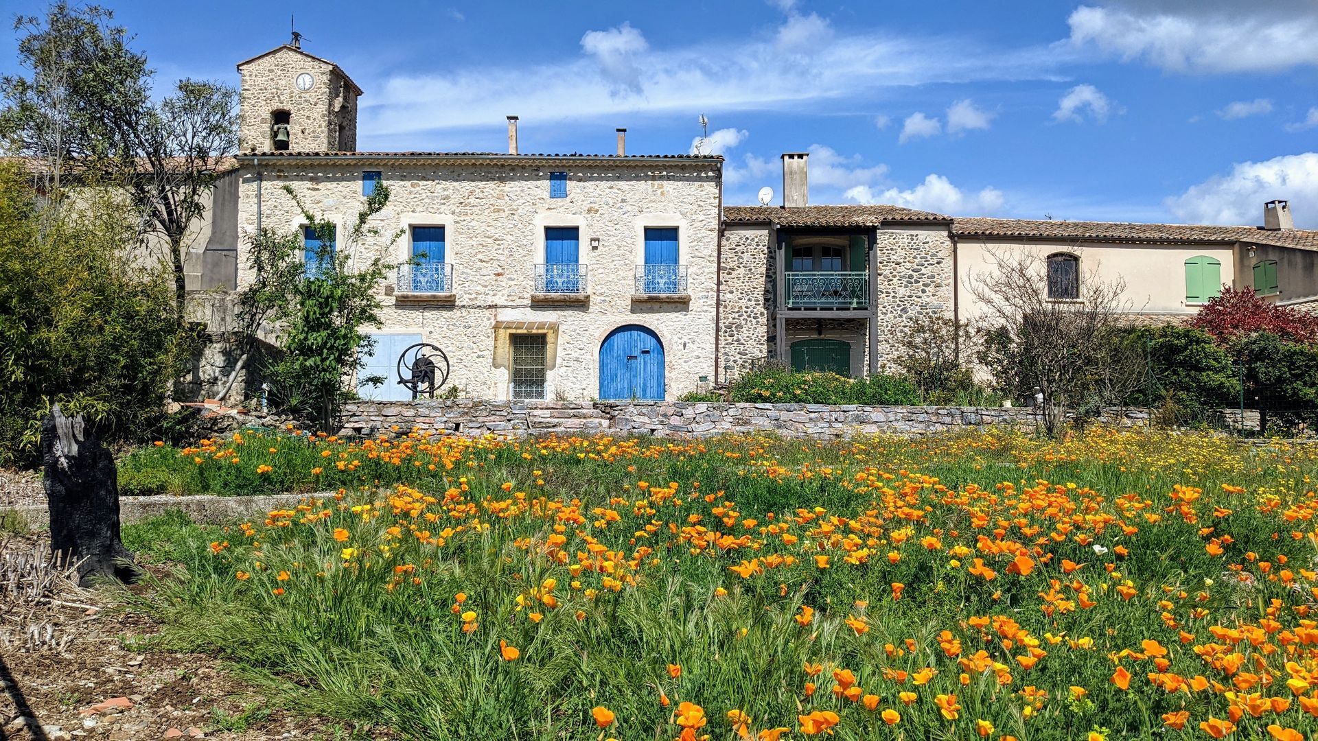
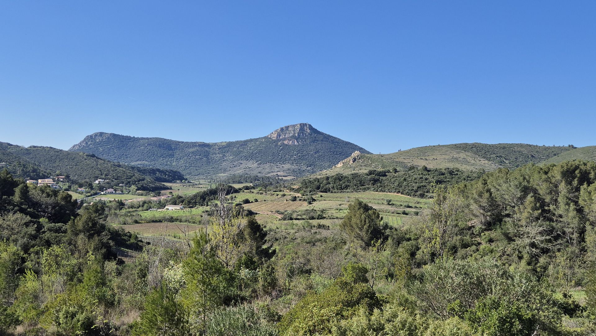
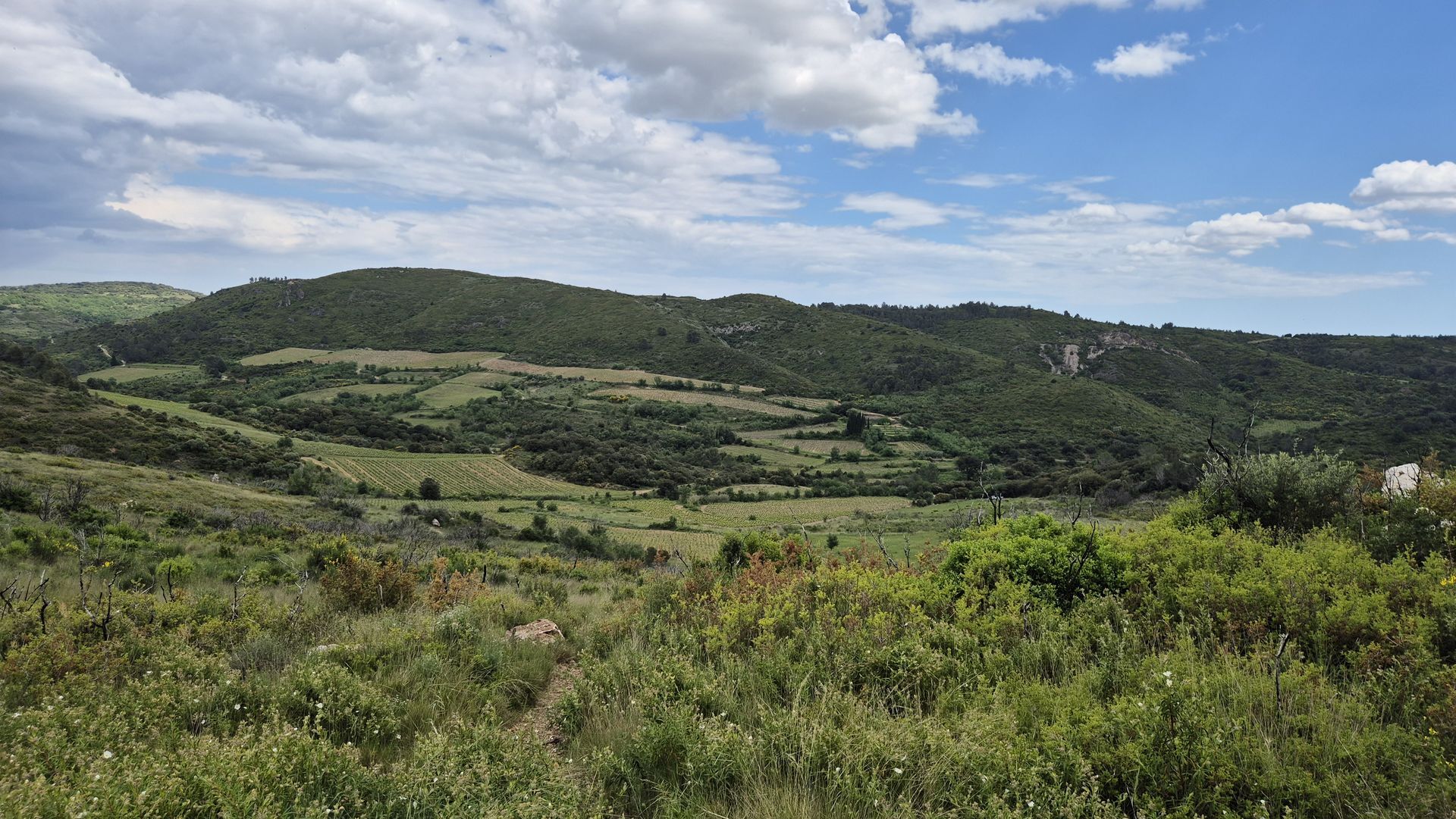
In the heart of a listed site, rich in natural, geological and landscape discoveries, the Sentier des Mines winds through woods, vineyards and garrigue on the Cabrières terroir.
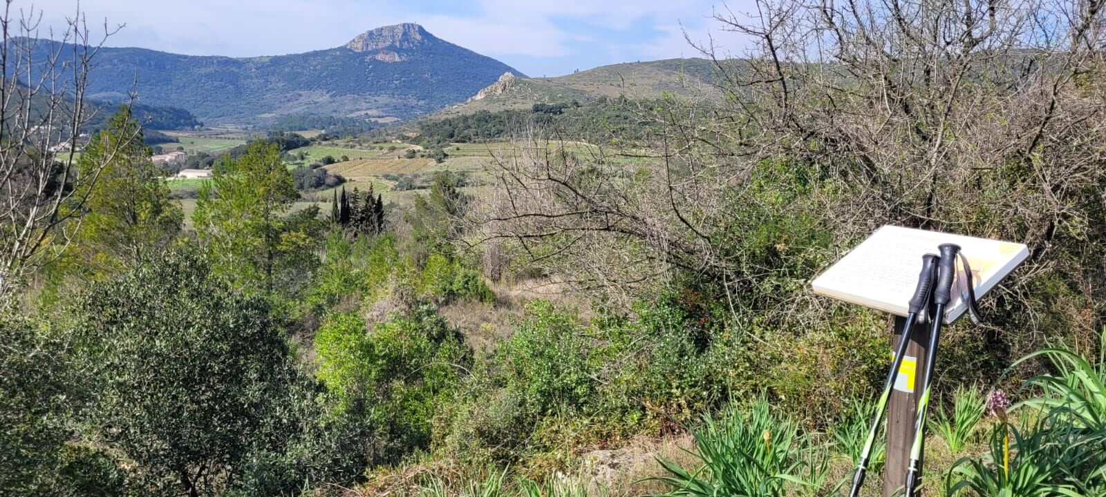
Several breathtaking viewpoints...
Several breathtaking viewpoints await you along this family-friendly walk. As you hike, you'll discover the history of Cabrières from prehistoric times to the present day.

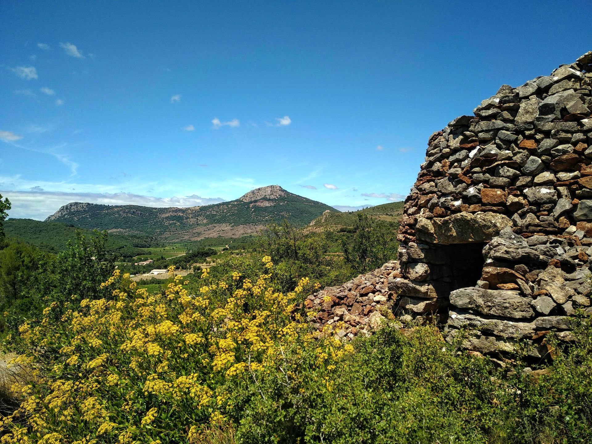
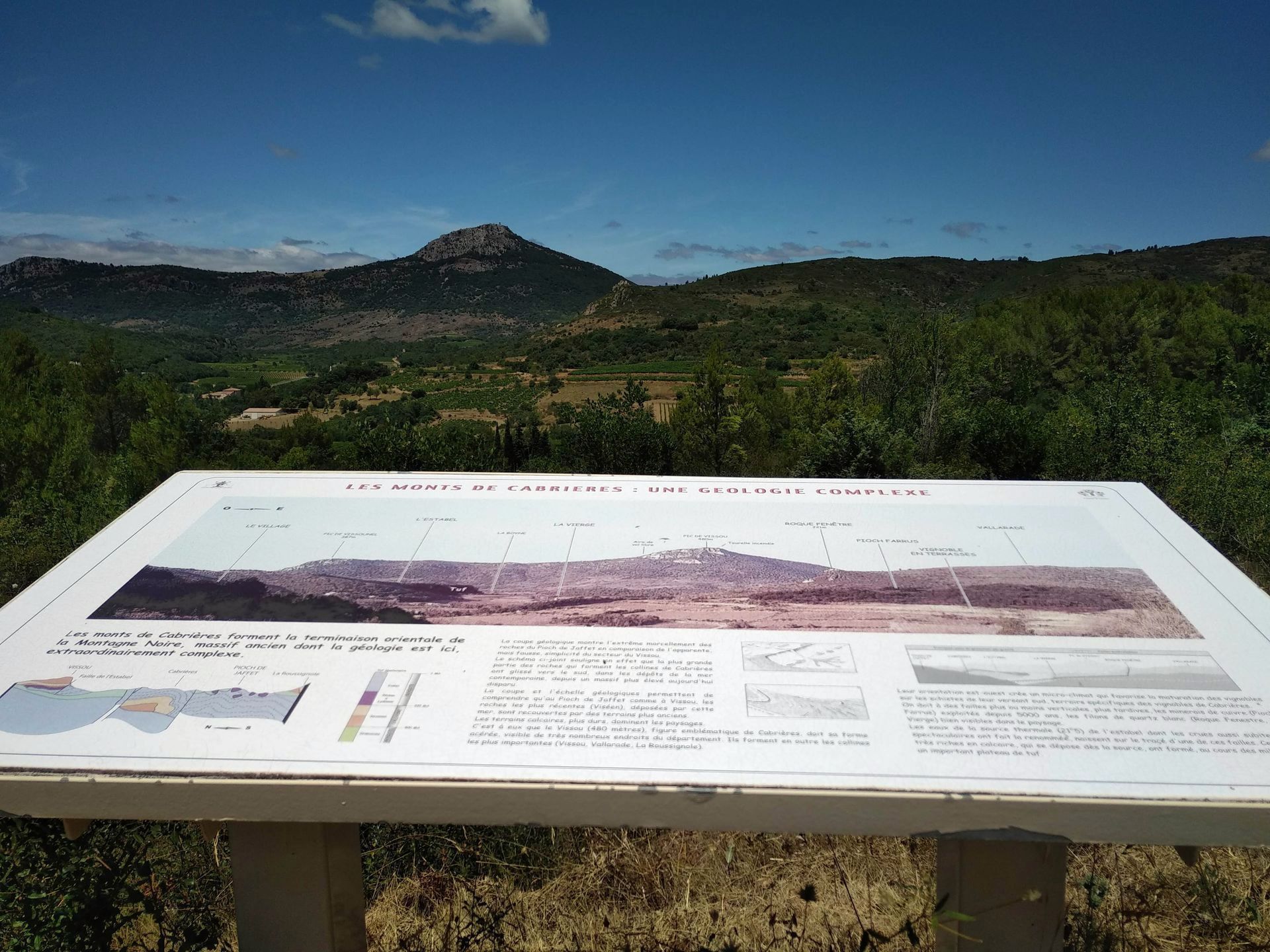
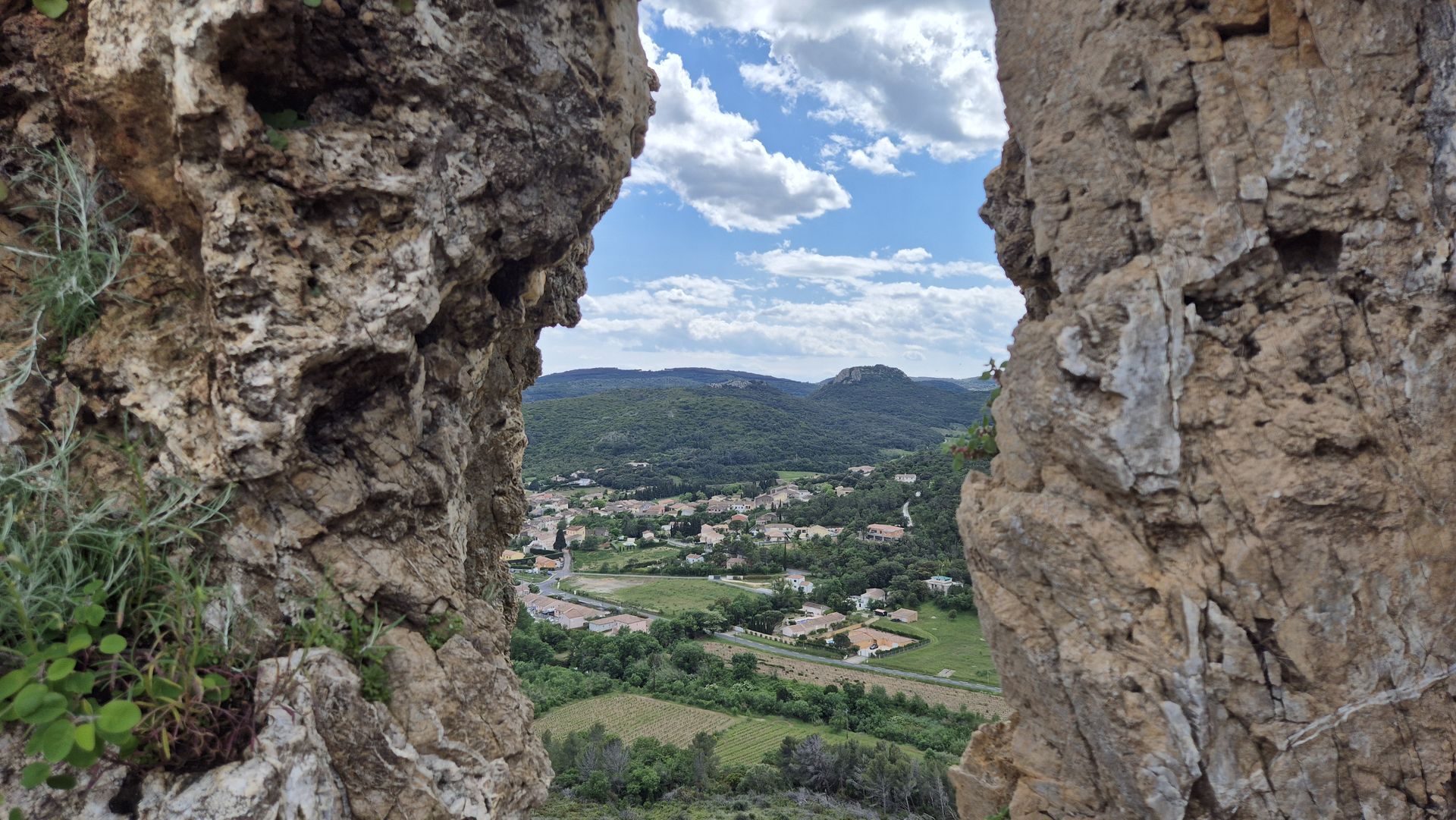
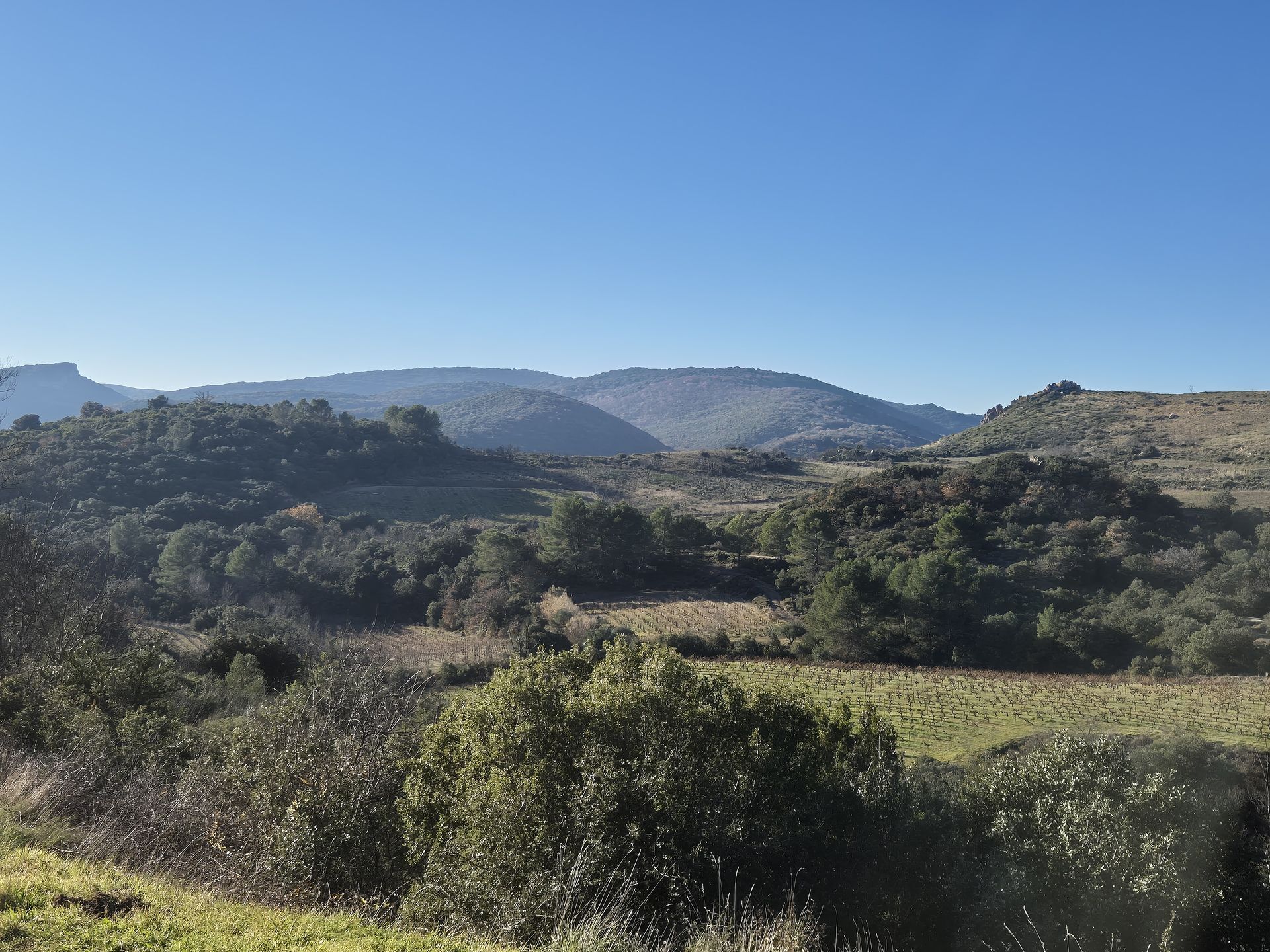

1
From the parking lot opposite the cooperative to the bridge over the Boyne river From the parking lot, head towards the village, past the Estabel cellar and shortly afterwards to the bridge over the Boyne.
2
From the bridge over the Boyne to the copper mine interpretation panel Pass the bridge on your right and walk along the Péret road (watch out for traffic!). At the end of the village, leave the road and turn left up a DFCI track to the copper mines interpretation panel.
3
From the copper mine interpretation panel to La Capitelle, via the Pioch de Jaffet > Access to the Roussignole mine and its ventilation shaft (1 km): turn right. Lower down, cross a stream via a passageway (steps). Climb under the pines on a shady path. Pass the Roussignole mine. Turn left to reach the ventilation shaft. Retrace your steps (view of Soureillé d'Izarne and the Pitrous valley). Continue uphill to Pioch de Jaffet. Go left, through the gate. Continue straight ahead and go around the Pioch (view of the village of Cabrières and the Pic de Vissou). On the left, rejoin the path and continue uphill on the DFCI track for 50 m.
4
From the capitelle to chemin de Péret Leave the track after the capitelle and go left down the old chemin de Péret.
5
From Chemin de Péret to Pioch Farrus mines At the level of a median and vineyards, at the bottom of the path, leave the main path (direct return to the village of Cabrières) and turn right. Go around the next vineyard on the right for 350 m. Bend right along a narrow path. Cross the Néburelles stream, climb up to olive trees and reach a road. Go right for 200 m. Turn left towards Pioch Farrus, skirting the old mines (closed to the public).
6
From the Pioch Farrus mines to Roque Fenêtre At the parking lot, go left for 40 m. Bend right and follow vines for 200 m. Follow a left-hand path through the old vineyards and find a more marked path. > Access to the Roque Fenêtre summit, a natural hole in a rocky bar (600 m return): turn right and follow a narrow path up to the summit (view of the village of Cabrières and the Pic de Vissou). Retrace your steps.
7
From Roque Fenêtre to Cabrières Go left downhill towards the village. At the road, turn right and cross the dam over the Boyne. Cross the D15 and go straight up into the village. Continue along rue du Mas de Rigaud, then rue de la Place. At Place de la Liberté, turn left into Rue de l'Église. At the bottom, turn right into rue du Mas de Gaussel, passing under a porch. Continue straight ahead until you reach the main street. Turn right to reach the bridge over the Boyne.
8
Back to the start from the Boyne bridge After visiting the village of Cabrières, from the bridge over the Boyne, return to the departure parking lot by following the RD 15 south towards the Cave Coopérative.
Respect private property, farms and other users of the areas through which you pass: close fences; stay on marked paths; and during hunting season, check with the Mairie.
Follow the circuit carefully, relying on the description or the signs in the village: there are several circuits through Cabrières, so be vigilant!
Don't forget to bring enough water for each person, and something to protect you from the sun or cold, depending on the season.
Jaune PR
+33 4 67 96 23 86
Destination Salagou Tourist Office
Géorando
Obľúbené výlety v okolí
-
5,0
CIRQUE DE MOUREZE HIKE
strednáTuristika 6,86 km -
5,0
LES VAILHÉS HIKING TRAIL
strednáTuristika 9,28 km -
5,0
MONT LIAUSSON HIKE
strednáTuristika 7,36 km -
5,0
CIRCUIT N°1 LE LAC DU SALAGOU - ESPACE VTT-FFC DU SALAGOU
strednáMountainbike 26,9 km -
TRAIL OF THE TOUR OF LAKE SALAGOU (SHORES OF CLERMONT) - GR® OF THE REGION BETWEEN 2 LAKES Avène – Salagou
strednáTrailrunning 25,6 km -
OENORANDO® OF THE BALCONS D’ALIGNAN DU VENT
strednáTuristika 12,7 km -
COURTINALS TRAIL HIKE
svetloTuristika 2,36 km -
BEALS TRAIL HIKE
strednáTuristika 4,51 km -
OENORANDO® OF THE VINEYARDS AND VOLCANOES OF FONTES
strednáTuristika 11,2 km -
HIKE TO DISCOVER THE WILD ORCHID
svetloTuristika 2,61 km
Turistika a stopovanie


Nenechajte si ujsť ponuky a inšpiráciu na ďalšiu dovolenku
Vaša e-mailová adresa bol pridaný do poštového zoznamu.





