


Sentier de la plaine
Starting in the bustling centre of Rabastens, the hike follows the tree-lined promenades of Les Lices and passes a restored dovecote before heading off across the open landscapes of the Tarn plain. Winding...
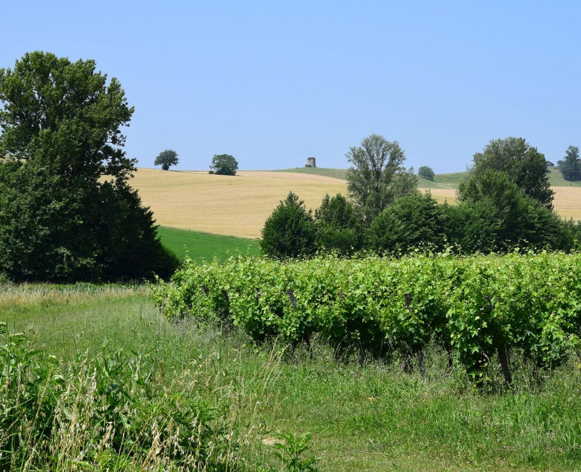
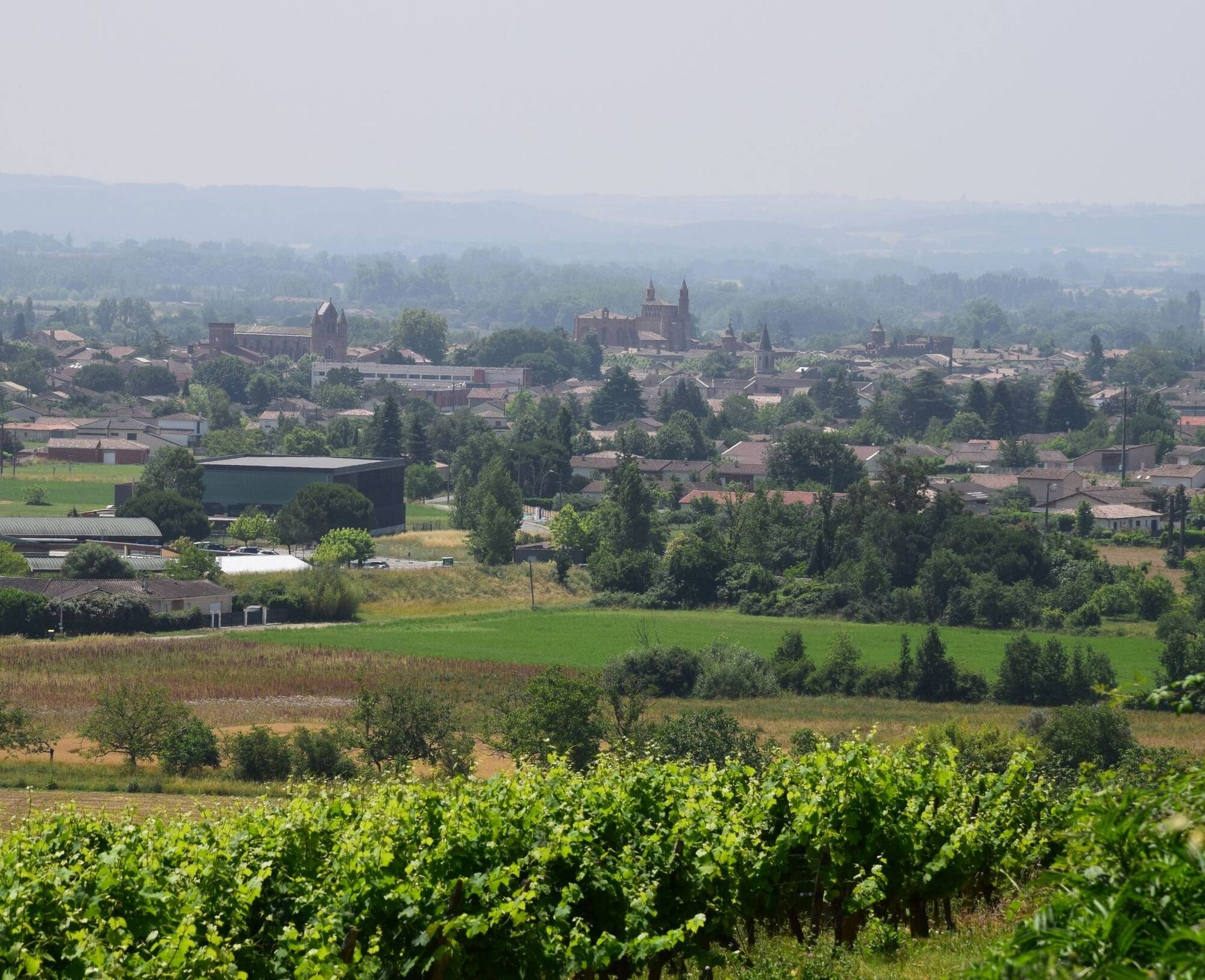
Midway through the hike, you will discover the Château de Saint-Géry, which was built between the 13th and 18th centuries. Further on is the Étang de Saint-Amans, a tranquil body of water surrounded by hills. On the way back to the town, you will cross the Gaillac wine-growing region, skirt the Vinovalie cooperative winery, and run alongside residential streets, before returning to the tranquillity of the park and its dovecote.
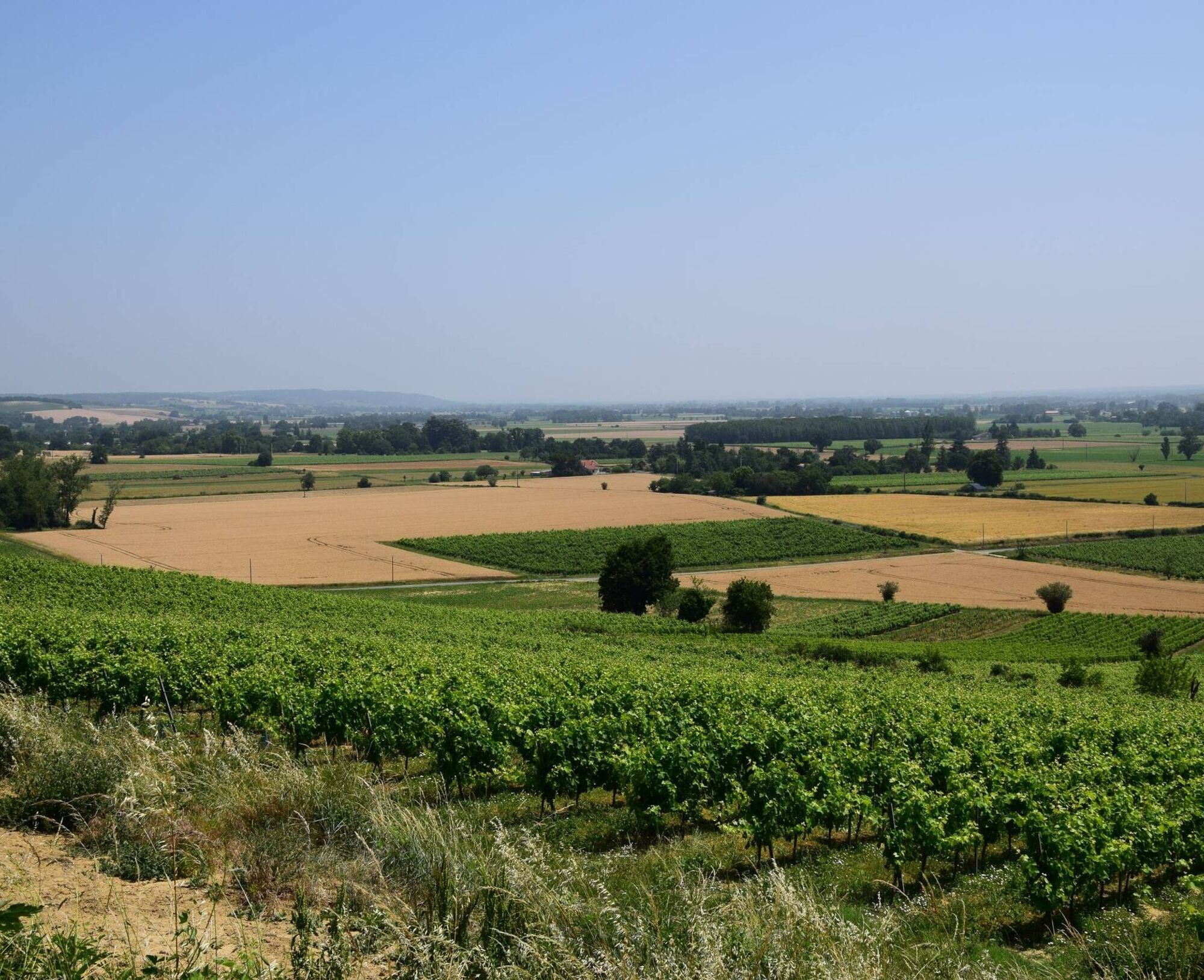
This long but easy loop is ideal for a half-day ride through a lively, welcoming rural area just a stone's throw from the meandering Tarn River at the foot of Rabastens.

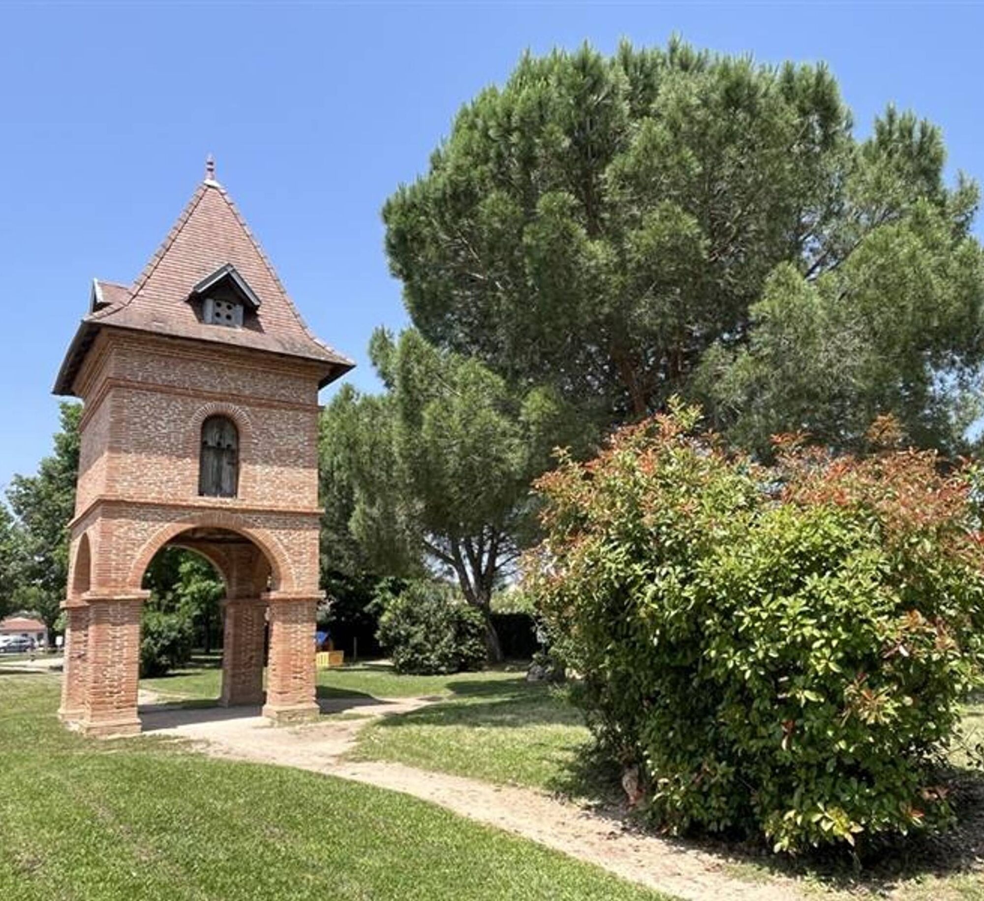
1. Opposite the town hall, turn left onto Promenade des Lices. Before the war memorial, cross the road and continue straight ahead onto Rue Gustave de Clausade. At the park, turn left, follow the road and pass a restored dovecote. Turn right, then opposite onto Rue du Pigeonnier. Continue along the road. At the road, continue straight ahead on a gravel path and go around the school on the right.
2. Turn right onto a stony path. Walk along the vineyards until you reach a road, cross it and take a grassy path that runs alongside fields and old buildings. Follow the road opposite for 200 m, then continue straight ahead on a path lined with oak trees, behind the Saint-Martin orchard. Cross a short stretch of tarmac, then continue straight ahead. Pass over an old wash house, then continue.
3. At the D20, turn right and walk 250 m, then take the path on the left that climbs between the fields. When you reach a road, turn left, then right to descend. Follow the path on the left across the hill, then turn right onto the road to Convers and continue for 700 m. Then turn right onto a gravel path towards the hamlet of Bessède.
4. Continue straight ahead on a path that runs alongside a red brick building, cross the road and turn right, following a ditch for 100 m. Then turn left towards an agricultural irrigation lake. At the road, turn right, go straight ahead at the crossroads, and just before a small bridge, between a house and the Marguestal stream, turn left. At the end, turn left, then right after 100 m. Follow the fields to the D988 (take care), then cross opposite onto the path.
5. At the Croix crossroads, turn right and follow the GR®46 to the end. At the road, opposite the Château de Saint-Géry (13th–18th centuries), turn right, go past the gates, then just after the brick bridge and the pond, take the path on the left. Continue to the Saint-Amans pond. Please note: cross the D988 again to follow the vineyards.
6. Go behind the water board and take the path on the left. At the road, turn left to reach the Vinovalie cooperative winery. Follow the D988, then take the first right, then left. Opposite the retirement home, turn right, then left again. You will come back to the park and its dovecote, and continue to the starting point.
Hard
Obľúbené výlety v okolí
-
Mountain Biking Trail: Grande Boucle Bastides and Vineyards of Gaillac
ťažkéMountainbike 136,3 km -
Boucle des potiers
svetloTuristika 6,38 km -
Vallons et forêts
ťažkéTuristika 30,1 km -
Sentier des pays d'en haut
strednáTuristika 13,2 km -
Le lac des Auzerals
strednáTuristika 13,9 km -
Itinéraire Conques Toulouse - De Saint-Martin-Laguépie à Saint-Sulpice-la-Pointe
strednáTuristika 75,1 km -
Tour du Tarn on horseback: Lisle-sur-Tarn / Puycelsi
ťažkéJazda na koni 28,4 km -
GR46 ® - Les Bastides albigeoises
ťažkéTuristika 115,0 km -
Suivez le coq - Follow the rooster
svetloTuristika 4,89 km -
Sentier de la plaine d'Agout
svetloTuristika 6,74 km
Turistika a stopovanie


Nenechajte si ujsť ponuky a inšpiráciu na ďalšiu dovolenku
Vaša e-mailová adresa bol pridaný do poštového zoznamu.