



Sentier de la plaine d'Agout

A countryside full of charm
From the heart of the village of Saint-Lieux-lès-Lavaur, you will discover a rich built heritage: the Saint-Léonce church which sits in the middle of the village, in southern...
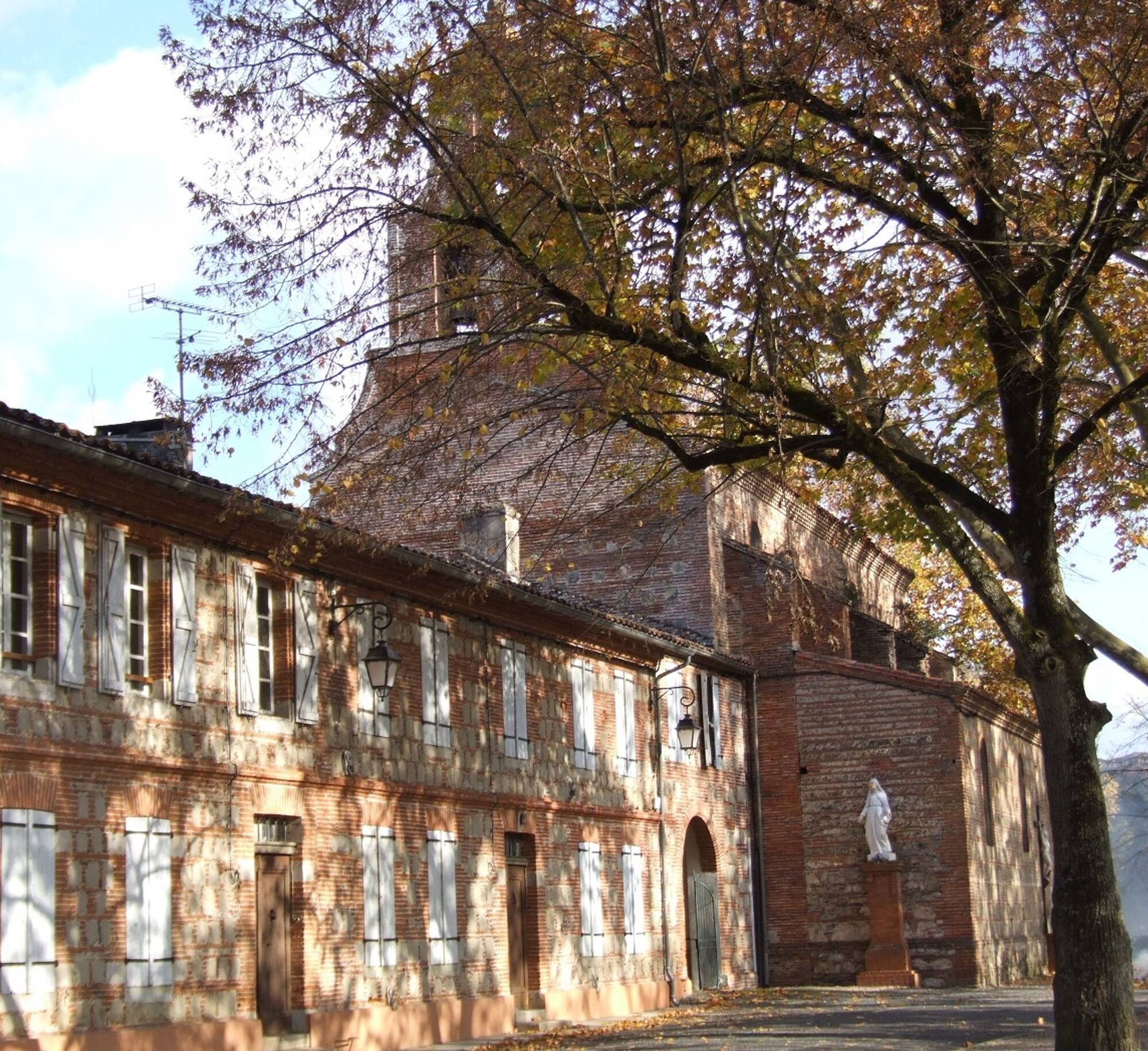
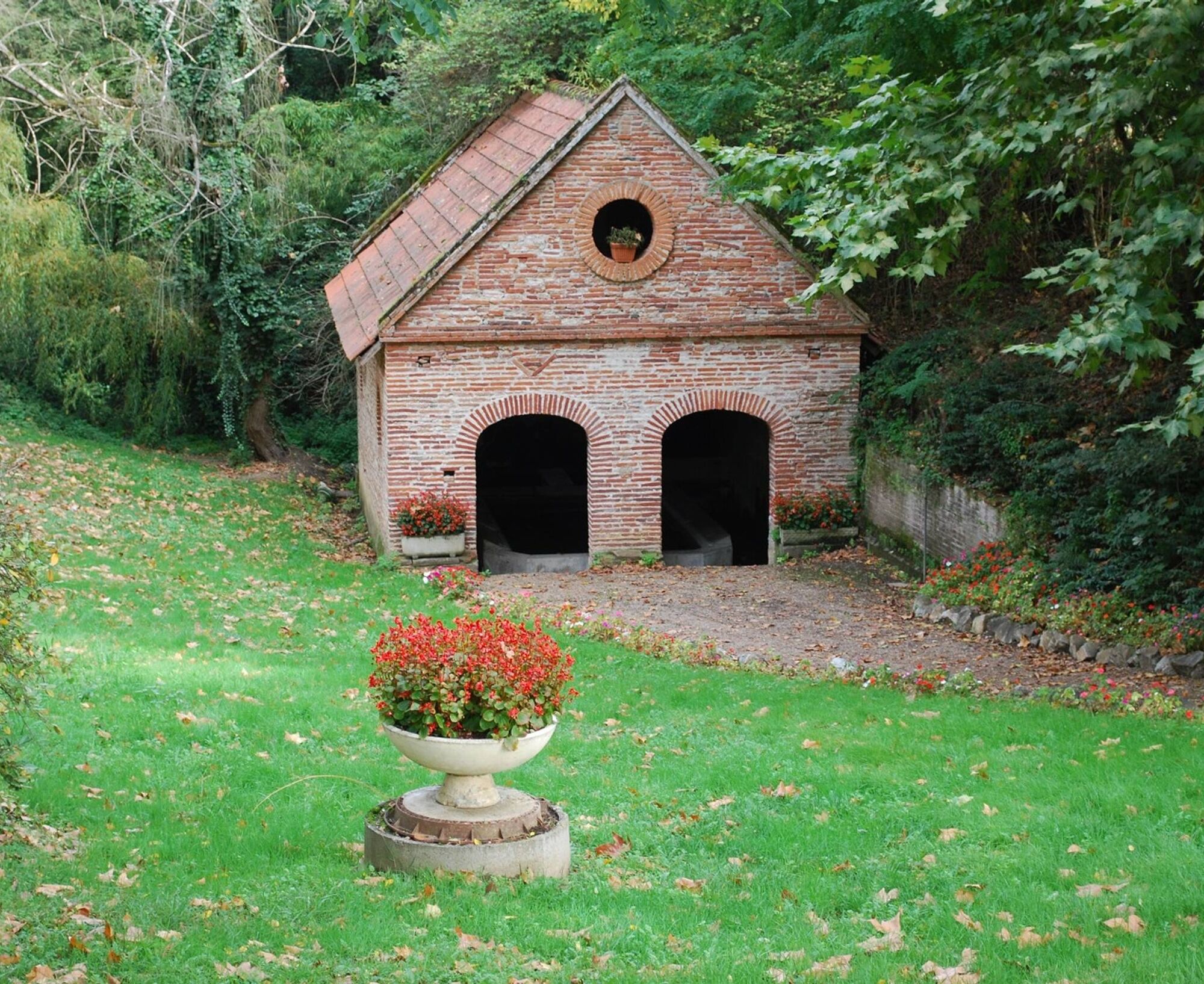
From the heart of the village of Saint-Lieux-lès-Lavaur, you will discover a rich built heritage: the Saint-Léonce church which sits in the middle of the village, in southern Gothic style with its mute bell tower, the wash house fed by the Tairou, a stream which flows into the Agout; the road bridge and its arches decorated with portraits; the railway bridge which connects Saint-Lieux to the Jardin des Martels and the Ludolac leisure centre, an ideal opportunity to spend a pleasant day with the family.
Good to know:
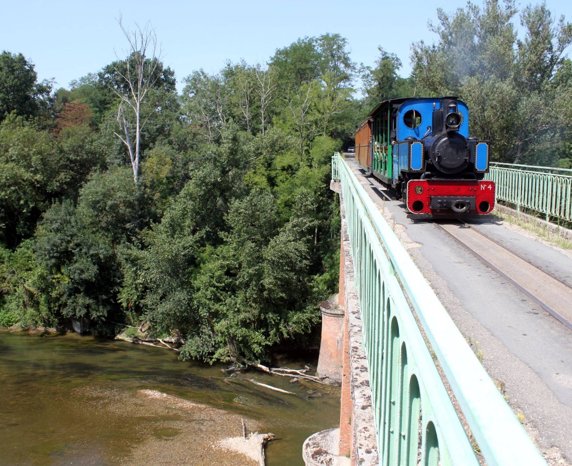
1. The Tarn tourist railway remains the tourist attraction of Saint-Lieux, during the journey you will cross the Salles viaduct and a beautiful route that leads to the floral park "Le Jardin des Martels in Giroussens.
2. The Ludolac Leisure Center is the ideal place for relaxation and family leisure. In a rural setting, you will find plenty of water games, mini-golf, bowling alley, pedal boats, canoes, playground and picnic area and a 100% local bar!

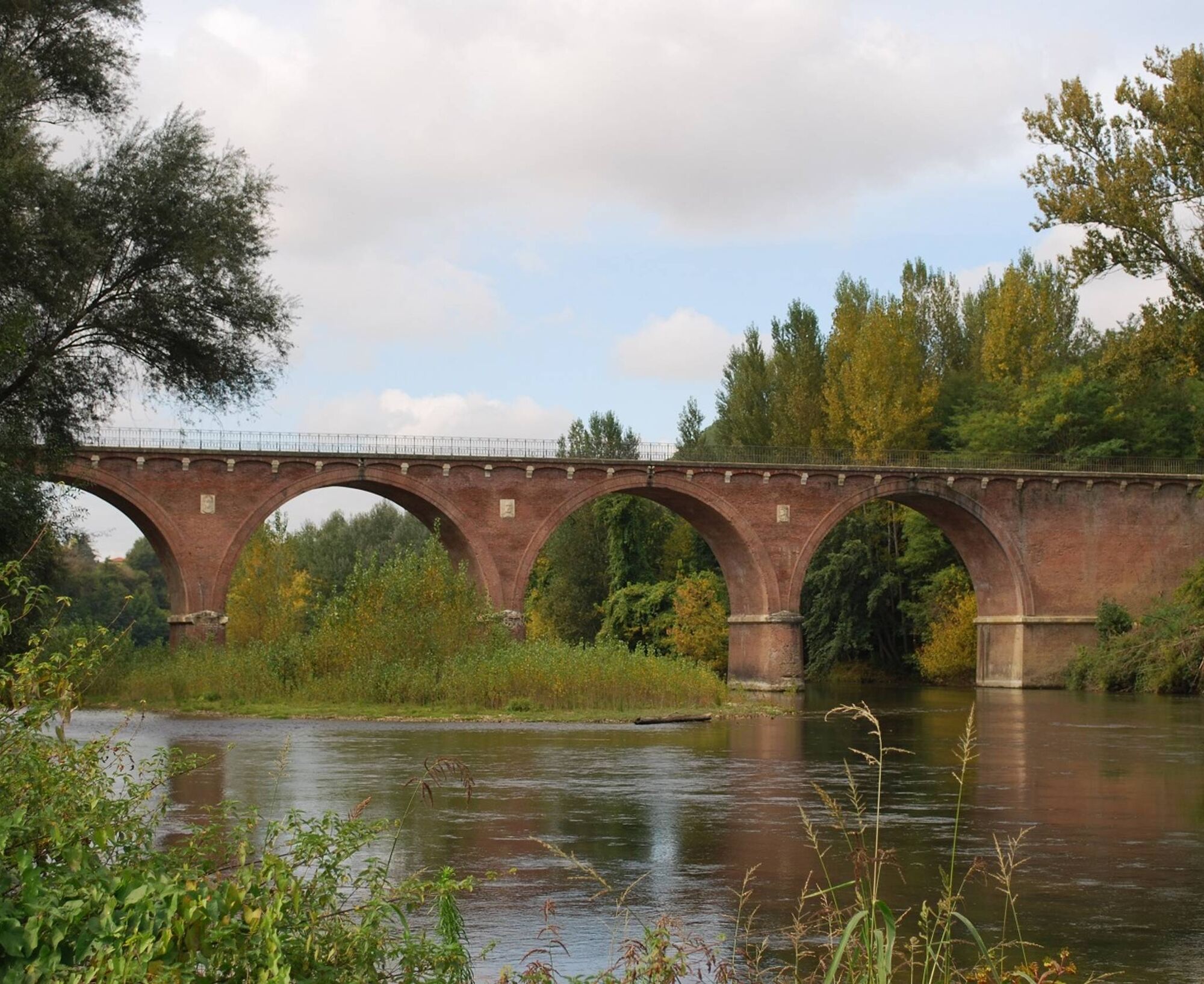

1. Walk along the cemetery wall, continue on the small path, cross the D48 to reach the banks of the Agout. Continue your walk on the dirt path bordering the Agout river. Viewpoint over the Agout plain from the bridge.
2. When you reach the tourist railway bridge, take the stairs on your right (54 steps) and walk along the railway line for about 500m (be careful: trains pass between April and October).
3. When you reach the intersection, turn left and walk on the D48 for 500m then leave the D48 by taking the path on your right at En Barreau. Continue on the farm track for about 500m.
4. Turn right to pass in front of the "En Jacquet" calvary. Cross a 1st road to reach the place called En Jacquet then a 2nd road, continue straight towards the Ludolac leisure center.
5. At the intersection, turn right towards Ludolac. After 400m, turn left then pass in front of the entrance to the site. You have the possibility to stop for a drink.
6. Leave the site by taking the dirt road located between the two ponds, at the end turn right and take the tarmac road again.
7. Turn left at the 1st intersection to reach the town center, follow the small road to the D48. Turn right towards the town hall where you can discover the St-Léonce church and its bell tower, and find the starting point.
In summer you have the possibility of taking a ride on the little tourist train.
>>>> ACCESSIBILITÉ
Aménagements : Picnic areas:
- village center
- Ludolac leisure center
Obľúbené výlety v okolí
-
Potters' Loop
svetloTuristika 6,38 km -
Vallons et forêts
ťažkéTuristika 30,1 km -
Sentier des pays d'en haut
strednáTuristika 13,2 km -
The Auzerals Lake
strednáTuristika 13,9 km -
Sentier de la retenue de Briax
strednáTuristika 9,53 km -
Sentier urbain de Lavaur
svetloTuristika 2,58 km -
Plain trail
ťažkéTuristika 20,5 km -
Oenorando® Dans les pas d'Amédée le vigneron
svetloTuristika 7,42 km -
Mountain Bike Route 2: Rabastens to Saint-Martin
ťažkéMountainbike 30,5 km -
Chemin de Dame Fines
strednáTuristika 12,6 km
Turistika a stopovanie


Nenechajte si ujsť ponuky a inšpiráciu na ďalšiu dovolenku
Vaša e-mailová adresa bol pridaný do poštového zoznamu.


