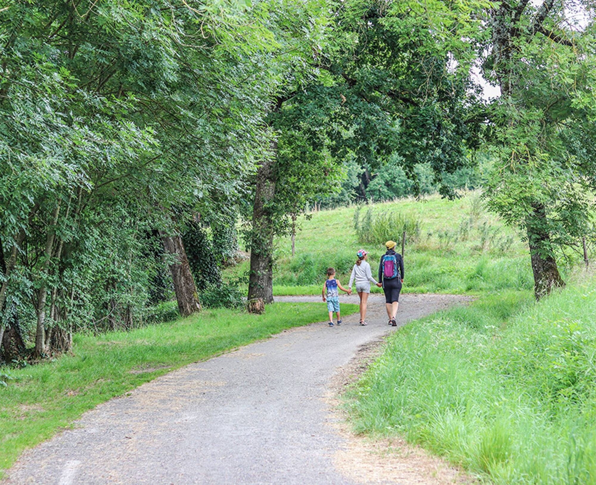
Los Caminaïres Trail
svetlo
Získajte túto prehliadku v mobilnom telefóne
Los Caminaïres Trail
svetlo
Turistika
5,48
km
Naskenujte kód QR a spustite navigáciu v aplikácii bergfex

Turistika a stopovanie


Los Caminaïres Trail
svetlo
Vzdialenosť
5,48
km
Trvanie
01:30
h
Ascent
75
hm
Hladina mora
226 -
308
m
Stiahnutie skladby
Los Caminaïres Trail
svetlo
Turistika
5,48
km
Good to know:
On these paths stood Kermes oaks, Mediterranean shrubs that grow in the garrigue. The Gaulish name of this tree, Garric, gave its name to the commune. Today, this variety of oak has disappeared....
Opis
Good to know:
On these paths stood Kermes oaks, Mediterranean shrubs that grow in the garrigue. The Gaulish name of this tree, Garric, gave its name to the commune. Today, this variety of oak has disappeared. Garric even uses an oak leaf as an emblem.
On these paths stood Kermes oaks, Mediterranean shrubs that grow in the garrigue. The Gaulish name of this tree, Garric, gave its name to the commune. Today, this variety of oak has disappeared. Garric even uses an oak leaf as an emblem.
Trasa
Trasa
Los Caminaïres Trail
svetlo
Turistika
5,48
km

Informácie o trase
Trasa
The departure is from René Cassin square, located between the town hall and the school. Take Oak Street. 200 m after the last houses, take the wide drivable path to the right.
1. 500 m further, turn left perpendicularly and go down by taking the small path that goes into the woods. Once in the woods, go left for about 100 m and cross the small stream. Then, go down to the right between the stream and the dual carriageway. Use the "large wildlife passage". 2. At the tunnel exit, go right and walk along the fence separating from the dual carriageway. 500 m further, take the left path that crosses the woods and runs along meadows uphill. 3. At the house, take the road on the left for about 600 m, then leave it in favor of the drivable path on the left. 4. Arrived at the houses then the main road, go left and cross the dual carriageway bridge. Continue on this road to return to the starting point.
1. 500 m further, turn left perpendicularly and go down by taking the small path that goes into the woods. Once in the woods, go left for about 100 m and cross the small stream. Then, go down to the right between the stream and the dual carriageway. Use the "large wildlife passage". 2. At the tunnel exit, go right and walk along the fence separating from the dual carriageway. 500 m further, take the left path that crosses the woods and runs along meadows uphill. 3. At the house, take the road on the left for about 600 m, then leave it in favor of the drivable path on the left. 4. Arrived at the houses then the main road, go left and cross the dual carriageway bridge. Continue on this road to return to the starting point.
Ďalšie informácie a tipy
Ďalšie informácie
Easy
Zatiaľ žiadne recenzie
Obľúbené výlety v okolí
-
Bike Route - C3 From Sainte Cécile to the Gaillac vineyard
svetloCestný bicykel 38,6 km -
Sentier Pédestre l'Andouquette
ťažkéTuristika 7,81 km -
Heritage and Health Route
svetloTuristika 5,62 km -
Route no. 11 (red) MTB - Chasing the black diamond
ťažkéMountainbike 20,8 km -
Circuit no. 3 (black) MTB - The Raid of the Forgotten Cities
ťažkéMountainbike 26,1 km -
Oenorando® Vallon de la Caude
svetloTuristika 9,58 km -
Bike route - C6 From the Ségala plateau to the Tarn valley
ťažkéCestný bicykel 70,6 km -
Les coteaux de Carlus
svetloTuristika 9,34 km -
Circuit No. 6 (red) MTB - On the way to Navarre
ťažkéMountainbike 13,0 km -
Tour du Tarn on horseback: Sainte-Gemme / Saussenac
ťažkéJazda na koni 22,3 km
Turistika a stopovanie

Viac ako 550.000 návrhov výletov, podrobné mapy a intuitívny plánovač trás robia z aplikácie povinnú výbavu pre všetkých nadšencov prírody.

Nenechajte si ujsť ponuky a inšpiráciu na ďalšiu dovolenku
Prihlásiť sa k odberu noviniek
Chyba
Vyskytla sa chyba. Prosím, skúste to znova.
Ďakujeme za vašu registráciu
Vaša e-mailová adresa bol pridaný do poštového zoznamu.
Zájazdy po celej Európe
Rakúsko
Švajčiarsko
Nemecko
Taliansko
Slovinsko
Francúzsko
Holandsko
Belgicko
Poľsko
Lichtenštajnsko
Česko
Slovensko
španielsko
Hrvaška
Bosna a Hercegovina
Luxembursko
Andorra
Portugalsko
Island
Spojené kráľovstvo
Írsko
Grécko
Albánsko
Severné Macedónsko
Malta
Nórsko
Čierna Hora
Moldavsko
Kosovo
Maďarsko
San Maríno
Rumunsko
Estónsko
Lotyšsko
Bielorusko
Cyprus
Litva
Srbsko
Bulharsko
Monako
Dánsko
Švédsko
Fínsko