






Boucle d'En Guibaud
At Métairie Haute, the dovecote, of the Castres type, is topped with a skylight in the most beautiful local tradition. After leaving on the left, the small Romanesque church of St Etienne, oriented north-south...
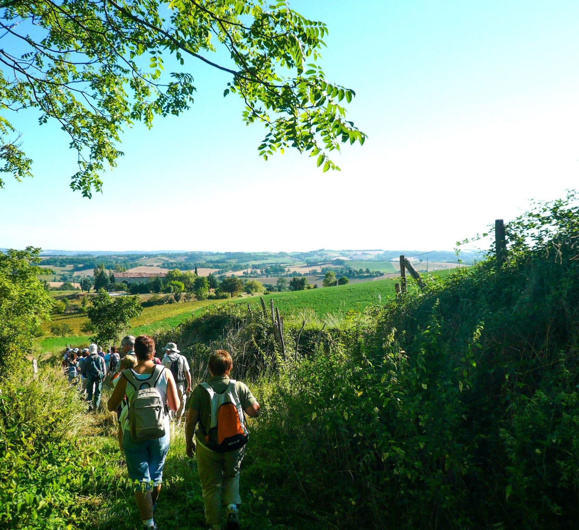
At Métairie Haute, the dovecote, of the Castres type, is topped with a skylight in the most beautiful local tradition. After leaving on the left, the small Romanesque church of St Etienne, oriented north-south presenting a presbytery habitat, we enter for a few hours in a countryside decorated with streams, paths, meadows, fields and woods which still speak the truth… The entrance to the hamlet of en Guibaud is marked by the presence of a dovecote, here of the Toulouse type, of which we can see the holes of the bowling alley. The climb towards a stony plateau dotted with gorse leads to Ricaudié from where we can see Puylaurens, the valley of the Agoût, the Montagne Noire with the peak of Nore. Near Montgagnes, from the top of its 258 m, dominates a medieval castle mound characteristic of the Puylaurentais. Descent, ascent through the woods to the place called "La Métairie Haute", a natural setting that deserves a few moments of rest. It is with Puylaurens in sight that the return of this hike begins in a still privileged natural setting.


1. Before the bottom of the Foulimou bridge, turn right to head towards Vielmur. 50 m further on, at the corner of a shop window, go down the path which becomes grassy. Cross the tarmac road, take the path towards Prat Moure. Follow the markings along the grassy path, cross the hamlet of Imbertariés and continue to the crossroads.
2. Cross the road and continue straight towards Bellevue then Métairie Haute. Pass the so-called Castres dovecote on the right. Turn left, go along the buildings of the property, go down the hill following the edge of the cultivated fields, pass behind a house before reaching the tarmac road. Turn left then right (you can see the church of St Etienne and its cemetery on the left).
3. Follow CV 5 for about 500 m, passing a large cross on the right. Leave the tarmac road and take the path on the right that crosses the stream. After about 1.5 km, near a power line, the path turns right to reach the entrance to the hamlet of en Guibaud (a Toulouse-style dovecote is indicated on the right).
4. In the hamlet, take the path to en Cervole on the left (sign). Pass to the right of the buildings and continue to the farm of en Blanc. At the hangar, turn right across the fields, along the woods. At the top of the hill, walk along the plateau to find the farm of la Ricaudié on the right. Continue on the path that becomes tarmac before the hamlet of Montgagnes.
5. Cross the hamlet and at the exit, turn right, go down for about 500 m (don't forget to notice a castle mound on the right). Turn left, then shortly after right to take the dirt road that crosses a wood. Leave the Rivalis house on the left, go to the right of the electricity pole, turn right, follow the woods for about 200 m; then turn left to cross it. At the exit, you will find the Métairie Haute dovecote on the left, then the Bellevue house.
6. Go back down the tarmac road, cross the CV5 and take the Imbertariés road opposite, which, after a left turn, becomes grassy. Continue for about 1 km. At the crossroads at Barreau, take the grassy road opposite again to go back up to the village of Puylaurens.
Difficult
Obľúbené výlety v okolí
-
Woad Path
svetloTuristika 6,84 km -
Le circuit du pas du Loup
svetloTuristika 9,89 km -
La voie romaine
ťažkéTuristika 28,5 km -
Le chemin de l'eau
svetloTuristika 9,16 km -
Oenorando® La Birado
svetloTuristika 7,76 km -
Le circuit des Devèzes
svetloTuristika 9,99 km -
Le circuit boisé de la Capelle
ťažkéTuristika 18,6 km -
La boucle de l'Agout à Fréjeville
svetloTuristika 14,6 km -
Le chemin des oiseaux
svetloTuristika 5,65 km -
Le sentier de Saint-Sébastien
strednáTuristika 12,3 km
Turistika a stopovanie


Nenechajte si ujsť ponuky a inšpiráciu na ďalšiu dovolenku
Vaša e-mailová adresa bol pridaný do poštového zoznamu.





