
The Zère valley
stredná
Získajte túto prehliadku v mobilnom telefóne
The Zère valley
stredná
Turistika
15,45
km
Naskenujte kód QR a spustite navigáciu v aplikácii bergfex


Turistika a stopovanie





The Zère valley
stredná
Vzdialenosť
15,4
km
Trvanie
04:00
h
Ascent
178
hm
Hladina mora
188 -
325
m
Stiahnutie skladby
The Zère valley
stredná
Turistika
15,45
km
Nestled around its church listed as a Historic Monument which houses 4 classified statues representing the four virtues, it offers us a glimpse of its history. A keep, some towers now embedded in facades,...
Opis
Nestled around its church listed as a Historic Monument which houses 4 classified statues representing the four virtues, it offers us a glimpse of its history. A keep, some towers now embedded in facades, traces of the castle and fortified enclosure, still testify to life in the Middle Ages.
Good to know:
Opened in 2010, a thematic circuit recalls that the Cérou valley was affected by the Albigensian Crusade. Certainly, usually one first thinks of the nearby Cordes city, but the inhabitants of Salles also wanted to pay tribute to one of the lesser-known actors of this crusade, Imbert de Salles, descendant of Gosselin I, reputed restorer of their village.
Good to know:
Opened in 2010, a thematic circuit recalls that the Cérou valley was affected by the Albigensian Crusade. Certainly, usually one first thinks of the nearby Cordes city, but the inhabitants of Salles also wanted to pay tribute to one of the lesser-known actors of this crusade, Imbert de Salles, descendant of Gosselin I, reputed restorer of their village.
Trasa
Salles sur Cérou
(190 m)
Dedina
0,0 km
Église Saint-Sauveur
(193 m)
Miesto uctievania
0,0 km
La Coste
(272 m)
Zúčtovanie
5,4 km
Le Barry
(206 m)
Susedstvo
8,7 km
Monestiés
(211 m)
Dedina
8,9 km
LOU PAÏDOL
(188 m)
Reštaurácia
15,3 km
Église Saint-Sauveur
(193 m)
Miesto uctievania
15,4 km
Trasa
The Zère valley
stredná
Turistika
15,45
km
Salles sur Cérou
(190 m)
Dedina
0,0 km
Église Saint-Sauveur
(193 m)
Miesto uctievania
0,0 km
La Coste
(272 m)
Zúčtovanie
5,4 km
Le Barry
(206 m)
Susedstvo
8,7 km
Monestiés
(211 m)
Dedina
8,9 km
Salles sur Cérou
(190 m)
Dedina
15,3 km
LOU PAÏDOL
(188 m)
Reštaurácia
15,3 km
Église Saint-Sauveur
(193 m)
Miesto uctievania
15,4 km

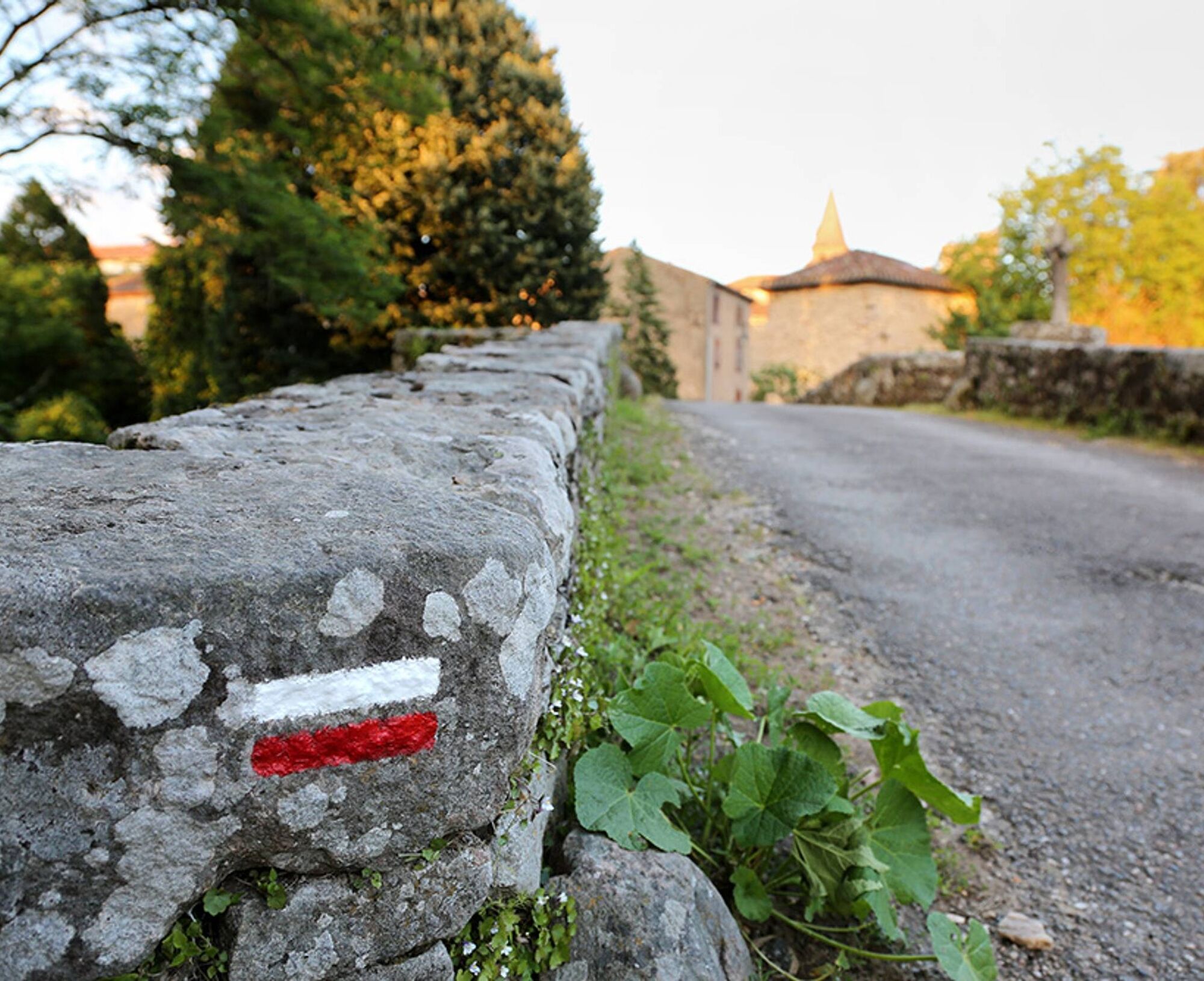
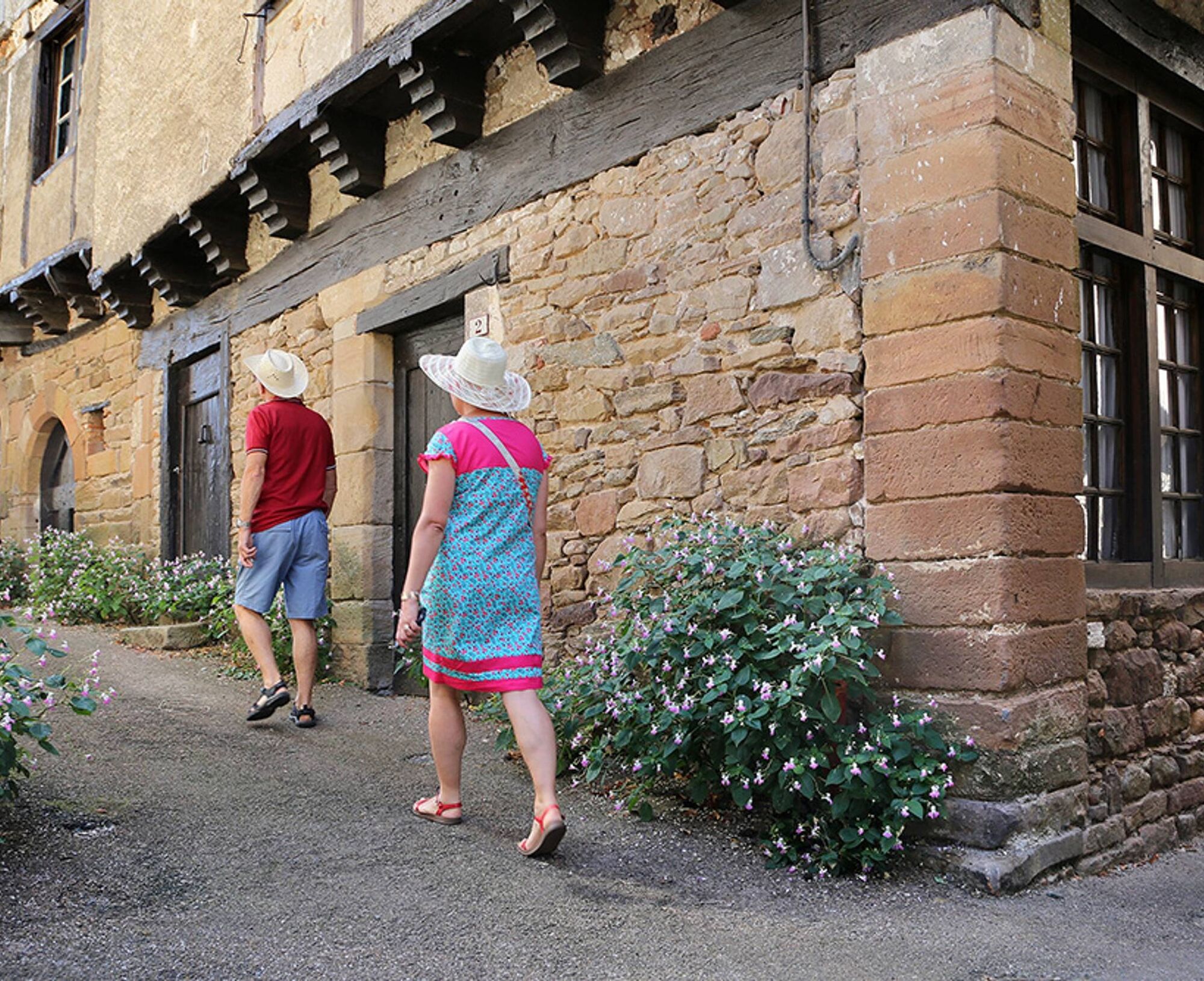

Informácie o trase
Trasa
Park at the church square. Facing the town hall, take road D27 on the right towards Virac. Pass the cemetery, then leave the road on the left and climb the start of the hill (300 m).
1. After the bend, take the dirt path to the left towards the Zère valley. Leave the Ferrière mill on the left and continue straight for about 2 km. 2. Take the dirt path on the left that crosses the Zère (old Roman bridge). Climb up to the hamlet of la Coste. After this place, follow the paved road to the crossroads. 3. Turn right, then take the 1st road on the left passing near the cemetery. 200 m later, turn right. 4. Turn left onto the Monestiés road via la Jouvenate. Follow it for about 1.5 km. Reach D73, the Monestiés to Blaye les Mines road, go down it until you cross the bridge. 5. Take the road just after the bridge on the left. Follow the banks and before the Post Office, turn left into the alley which crosses the Cérou via the stone bridge (Pont de Candèze). 6. Just after, turn right, follow the Cérou to the avenue of plane trees. Turn left then immediately right. Pass between the stadium and the retirement home. Follow the GR of the old railway line (GR 36) until the village of Salles.
1. After the bend, take the dirt path to the left towards the Zère valley. Leave the Ferrière mill on the left and continue straight for about 2 km. 2. Take the dirt path on the left that crosses the Zère (old Roman bridge). Climb up to the hamlet of la Coste. After this place, follow the paved road to the crossroads. 3. Turn right, then take the 1st road on the left passing near the cemetery. 200 m later, turn right. 4. Turn left onto the Monestiés road via la Jouvenate. Follow it for about 1.5 km. Reach D73, the Monestiés to Blaye les Mines road, go down it until you cross the bridge. 5. Take the road just after the bridge on the left. Follow the banks and before the Post Office, turn left into the alley which crosses the Cérou via the stone bridge (Pont de Candèze). 6. Just after, turn right, follow the Cérou to the avenue of plane trees. Turn left then immediately right. Pass between the stadium and the retirement home. Follow the GR of the old railway line (GR 36) until the village of Salles.
Ďalšie informácie a tipy
Ďalšie informácie
Intermediate
Zatiaľ žiadne recenzie
Obľúbené výlety v okolí
-
Le sentier des Infournats
svetloTuristika 2,65 km -
Tour of Tarn on Horseback
strednáJazda na koni 502,7 km -
Grain of salt path (Chemin du grain de sel)
strednáTuristika 10,8 km -
Sentier de découverte de Les Cabannes "Sur les traces des bâtisseurs"
svetloTuristika 2,63 km -
Lo camin des Carboniers
strednáTuristika 10,4 km -
Tour du Tarn à cheval : Narthoux / Jouqueviel
ťažkéJazda na koni 26,3 km -
Bike on small roads - Along the Agout via Burlats and Roquecourbe
svetloCestný bicykel 7,87 km -
Téroundel path (Sentier du Téroundel)
svetloTuristika 2,58 km -
Cordes heritage trail
strednáTuristika 14,8 km -
Lacapelle Sainte-Lucie circuit
strednáTuristika 11,5 km
Turistika a stopovanie

Viac ako 550.000 návrhov výletov, podrobné mapy a intuitívny plánovač trás robia z aplikácie povinnú výbavu pre všetkých nadšencov prírody.

Nenechajte si ujsť ponuky a inšpiráciu na ďalšiu dovolenku
Prihlásiť sa k odberu noviniek
Chyba
Vyskytla sa chyba. Prosím, skúste to znova.
Ďakujeme za vašu registráciu
Vaša e-mailová adresa bol pridaný do poštového zoznamu.
Zájazdy po celej Európe
Rakúsko
Švajčiarsko
Nemecko
Taliansko
Slovinsko
Francúzsko
Holandsko
Belgicko
Poľsko
Lichtenštajnsko
Česko
Slovensko
španielsko
Hrvaška
Bosna a Hercegovina
Luxembursko
Andorra
Portugalsko
Island
Spojené kráľovstvo
Írsko
Grécko
Albánsko
Severné Macedónsko
Malta
Nórsko
Čierna Hora
Moldavsko
Kosovo
Maďarsko
San Maríno
Rumunsko
Estónsko
Lotyšsko
Bielorusko
Cyprus
Litva
Srbsko
Bulharsko
Monako
Dánsko
Švédsko
Fínsko





