







Les Plos de Drulhe

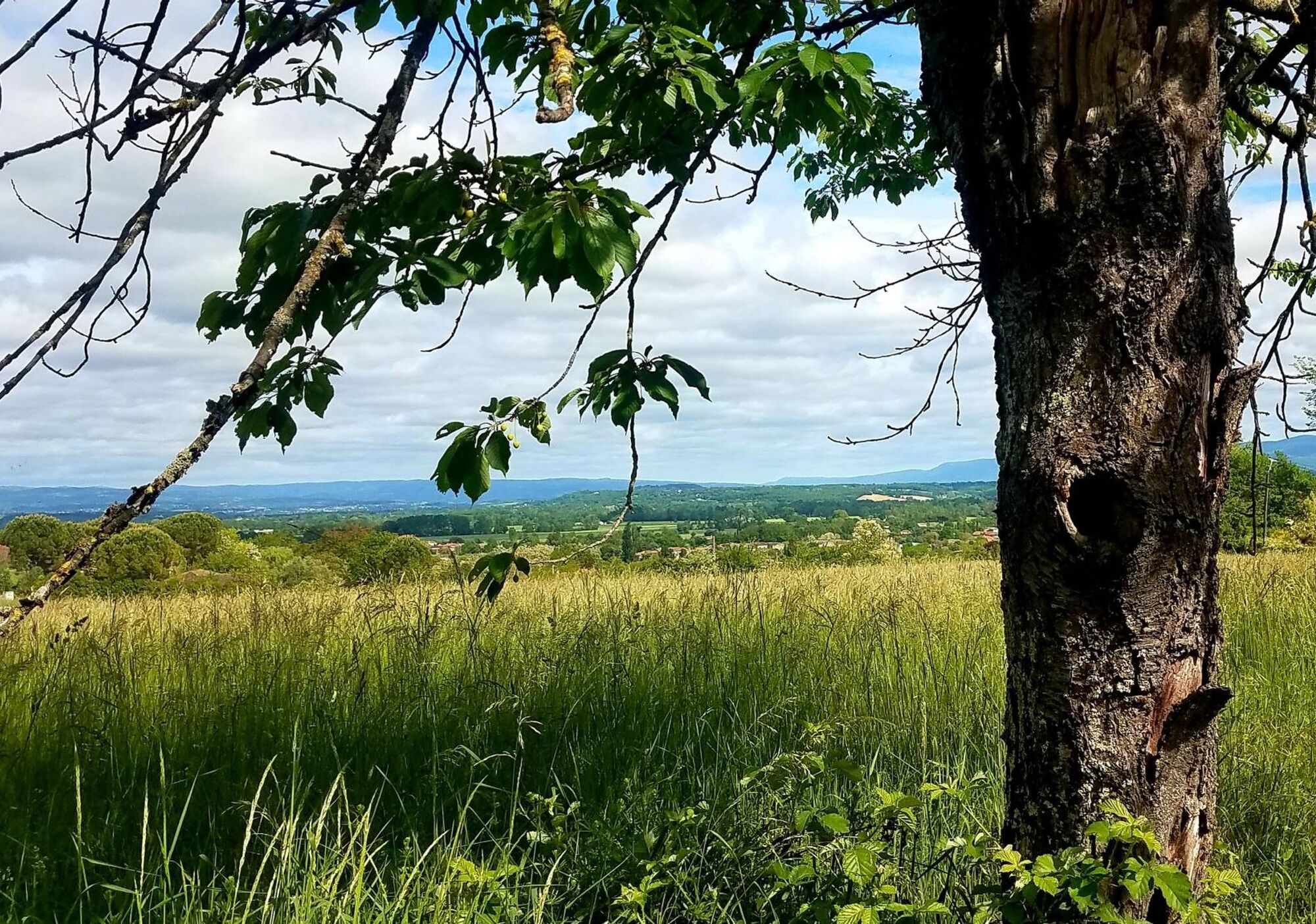
As you hike, you will cross landscapes on a human scale where wild boar and roe deer have taken possession. From Damon's farm, the view extends from the Sémalensoise countryside to the Montagne Noire.


1. Go past the post office and take the passage to the right of the guest house. Continue left then turn right. In front of the church, turn left. Cross at the roundabout and take the road to Puylaurens (D51) for 300m. Take the grassy path on the right to the Place de l'Amitié.
2. Follow the road opposite.
3. After the En Bataillé farm, leave the path on the right (return loop) and continue on the road (Chemin des Cayrous). In a right turn, take the grassy path opposite. At the intersection, top of the hill, turn right and follow the path.
4. Continue on the shaded path opposite for 1 km. Pass under the high-voltage line, 200m later, turn right onto a path that goes up. Follow the path that runs along the houses on the right. Turn left to join the D14.
5. Caution – Follow the road on the right for 300m then turn right towards Damon. After 200m, leave the road to take the path that goes up to the right through the woods.
6. Go down to the left. Before the property, take the path on the right and immediately to the left the path along the field. At the crossroads, turn right following the path that, through the fields, returns to point 3. Take the road on the left to Place de l’Amitié then take the path on the right. Turn left twice at the crossroads. Cross the D51 to take the road opposite for 600m.
7. Turn left on the path that goes down to the village. Turn right, pass in front of the school and at the roundabout return to the main street on the left. Go and discover the washhouse on your right (100m round trip). Continue along Rue Neuve. Join the village square on the right.
Easy
Obľúbené výlety v okolí
-
Garlic Trail
svetloTuristika 7,07 km -
Woad Path
svetloTuristika 6,84 km -
Le circuit du pas du Loup
svetloTuristika 9,89 km -
Ridge Loop
svetloTuristika 5,69 km -
Discovery trail of the Travet Meadows
svetloTuristika 0,31 km -
Le chemin de l'eau
svetloTuristika 9,16 km -
Le circuit des Devèzes
svetloTuristika 9,99 km -
Le circuit boisé de la Capelle
ťažkéTuristika 18,6 km -
La boucle de l'Agout à Fréjeville
svetloTuristika 14,6 km -
Greenway "human rights path"
svetloTuristika 41,7 km
Turistika a stopovanie


Nenechajte si ujsť ponuky a inšpiráciu na ďalšiu dovolenku
Vaša e-mailová adresa bol pridaný do poštového zoznamu.





