







HIKING THE MARINESQUE TO CAMBELLIÈS LOOP
To the north of the Thau pond, this loop takes you to discover the Gallo-Roman site of Marinesque and the Domitian Way, before crossing the scrubland and the forest of the Moure hills. The route then reaches...
To the north of the Thau pond, this loop takes you to discover the Gallo-Roman site of Marinesque and the Domitian Way, before crossing the scrubland and the forest of the Moure hills. The route then reaches Cambelliès Lake, a former bauxite mine turned refuge for birds, before returning to Loupian through vineyards and scrubland, with beautiful views over the Thau lagoon.


1
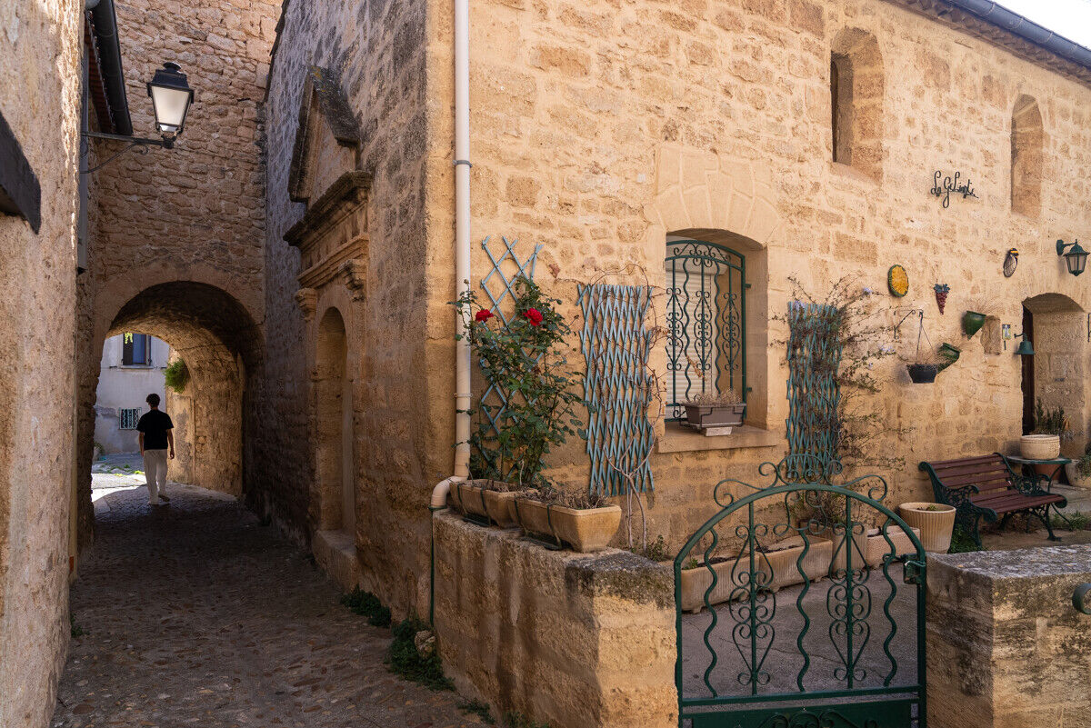
From the parking lot, with your back to the socio-cultural center, go left into the old village. Cross the Gabriel Péri square to the right, continue along Jules Vallès street. At the stop sign, turn right onto the D 158E3 (Villeveyrac road). At the roundabout, go right then immediately left onto rue des Pins. At the crossroads, turn right uphill and continue straight ahead along chemin des Peirieidas. Rejoin Villeveyrac road, take it to the right and leave Loupian (caution). Cross the bridge over the A9.
2
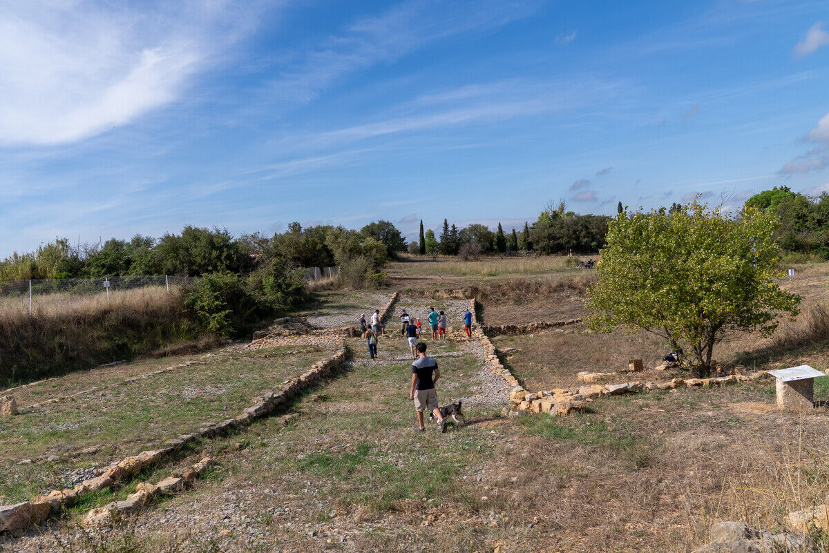
Take the second track on the left. Walk a few meters and turn right, just after the calvary. Go straight down to the remains of the Domitian Way, near the old Marinesque stream (information panels, site restoration in 2024). Cross the site and continue along the main track through old lands once exploited for bauxite veins. Climb up and reach the electrical station. Cross the departmental road, climb straight ahead on the road. Turn right and walk 250 m.
3
Leave the road to the left. Climb the path for 300 m and just after the Aleppo pine plantation, continue the ascent to the right under the pines. The path winds through the scrubland and joins a wide track. Climb to the right up to the pass (views over the Thau pond and Mount Saint-Loup, overlooking Cap d’Agde).
4
Descend to the left along the shaded path. At the road, go left. 500 m further, pass under the A9 and immediately descend to the right by a path. Continue to the left, cross a road and then at the track, descend to the right. Continue along a drivable path to a crossroads.
5
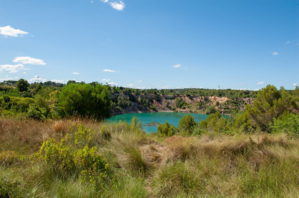
Turn left, walk 60 m and go right to reach the viewpoint over Cambelliès Lake. Follow the path on the right above the lake (equipped observation point, presence of European roller, European bee-eater, blue rock thrush). Continue on a wider path lined with protective rails (attention: stay on the marked circuit, access to the edge of the lake forbidden, dangerous cliff). Follow the road to the left, which overlooks the lake. At the end of the straight line, leave the road and take a track to the right. Climb up to the ridge line (panorama over Sète, the Thau pond and its shellfish tables, the Gardiole massif on the left).
6
Head right to the landscape reading table. Climb to the right along the rocky path: follow the markings closely), walk along a balcony above the lagoon. Descend into the plain, go right onto the road. 500 m further, turn right then immediately climb left to the summit of Puech Redon, under the power line.
7
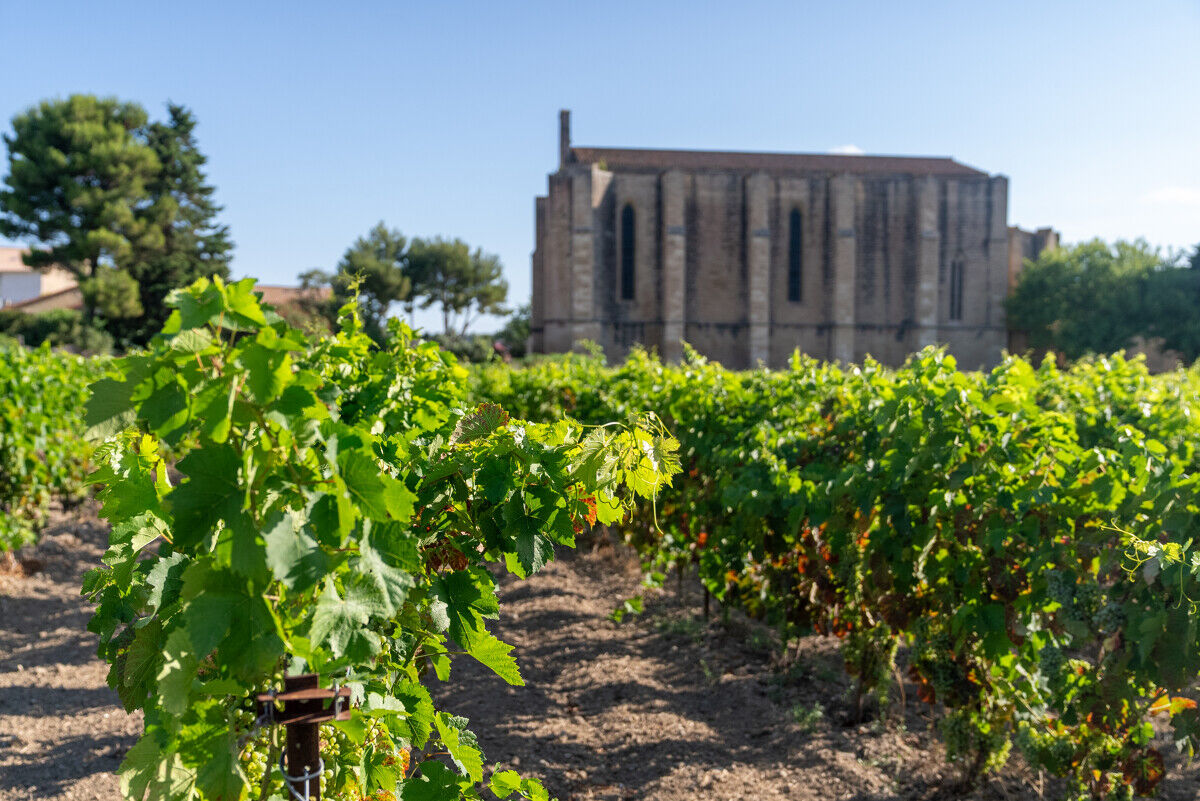
Descend left towards the village through vineyards, olive plantations and fields. Further down, continue right to the road. Carry on straight ahead and return to the starting parking lot.
LOUPIAN
Caution along the D 158E3 (Villeveyrac road), stay on the marked path along Cambelliès Lake (dangerous cliff), closely follow the markings between points 6 and 7.
Plan a water reserve per person.
Protect yourself from the sun or cold depending on the seasons.
During hunting season, inquire at the town hall.
Respect the natural environment.
Close the gates.
Respect private properties, farms, and other users of the areas crossed.
Yellow PR
+33 4 86 84 04 04
Archipelago of Thau Tourist Office Mediterranean Destination
PR - FFR
Obľúbené výlety v okolí
-
5,0
SAINT ANTOINE HERMITAGE HIKE
svetloTuristika 9,91 km -
5,0
MOURE HILLS HIKE
strednáTuristika 13,1 km -
4,0
BALCONS DE THAU HIKE
svetloTuristika 7,04 km -
RANDONNEE DES ARESQUIERS
svetloTuristika 9,85 km -
SAINT-FELIX EN GARDIOLE HIKE
strednáTuristika 13,7 km -
OENORANDO® THE ART AND NATURE TRAIL
strednáTuristika 15,7 km -
CYCLE LOOP No. 26 - THAU POND, ABBEY OF VALMAGNE AND PÉZENAS
strednáCyklistika 63,1 km -
CIT'ART HIKE THE BELVEDERES OF LA GARDIOLE
strednáTuristika 13,1 km -
ACCESSIBLE ROUTE - SAINT-FARRIOL JOËLETTE TRAIL
svetloTuristika 2,90 km -
VIA DOMITIA HIKE
svetloTuristika 4,95 km
Turistika a stopovanie


Nenechajte si ujsť ponuky a inšpiráciu na ďalšiu dovolenku
Vaša e-mailová adresa bol pridaný do poštového zoznamu.





