
The Infournats Nature Trail
svetlo
Získajte túto prehliadku v mobilnom telefóne
The Infournats Nature Trail
svetlo
Turistika
2,64
km
Naskenujte kód QR a spustite navigáciu v aplikácii bergfex


Turistika a stopovanie



The Infournats Nature Trail
svetlo
Vzdialenosť
2,64
km
Trvanie
01:05
h
Ascent
134
hm
Hladina mora
199 -
340
m

Naviguj sa počas prehliadky v aplikácii
Nainštalujte si aplikáciu zadarmo a sledujte trasu vďaka GPS navigácii a sledovaniu polohy.
Využite službu „ bergfex “ už teraz v aplikácii
Naskenuj QR kód pomocou fotoaparátu
Ak máte aplikáciu nainštalovanú, obsah sa otvorí priamo. Ak aplikáciu ešte nemáte, budete presmerovaní na stránku, kde si ju môžete bezplatne stiahnuť.
Stiahnutie skladby
The Infournats Nature Trail
svetlo
Turistika
2,64
km
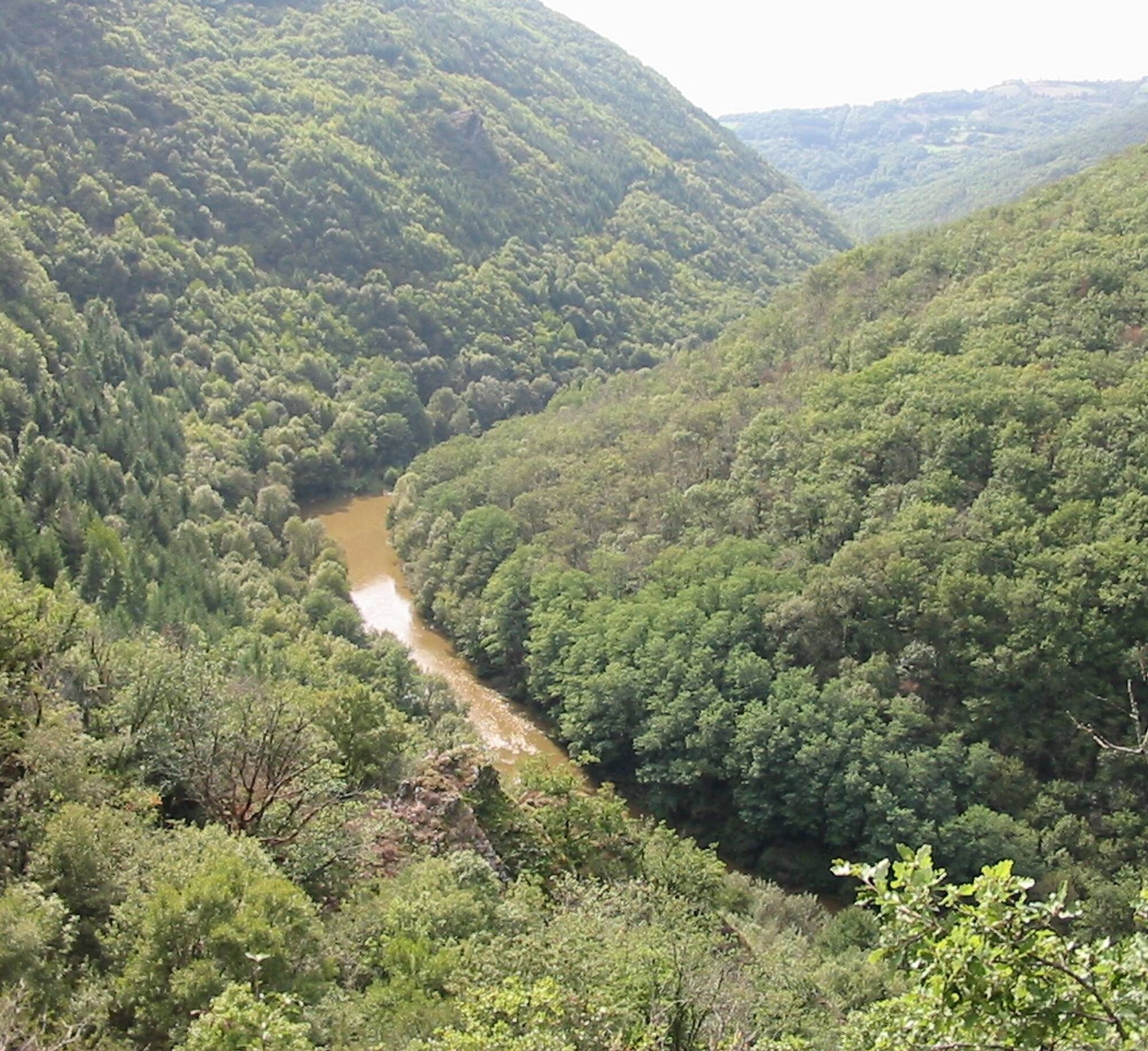
A wild and rugged valley
With the collapse of the Devil’s Bridge at the end of the 13th century, the hamlet of Les Infournats gradually fell into decline, giving way to a plateau where agriculture became...
Opis
A wild and rugged valley
With the collapse of the Devil’s Bridge at the end of the 13th century, the hamlet of Les Infournats gradually fell into decline, giving way to a plateau where agriculture became mechanized throughout the last century, causing the valley’s inhabitants to leave. Today, the tranquility of the surroundings and the steepness of the slope lend the site its unique charm.
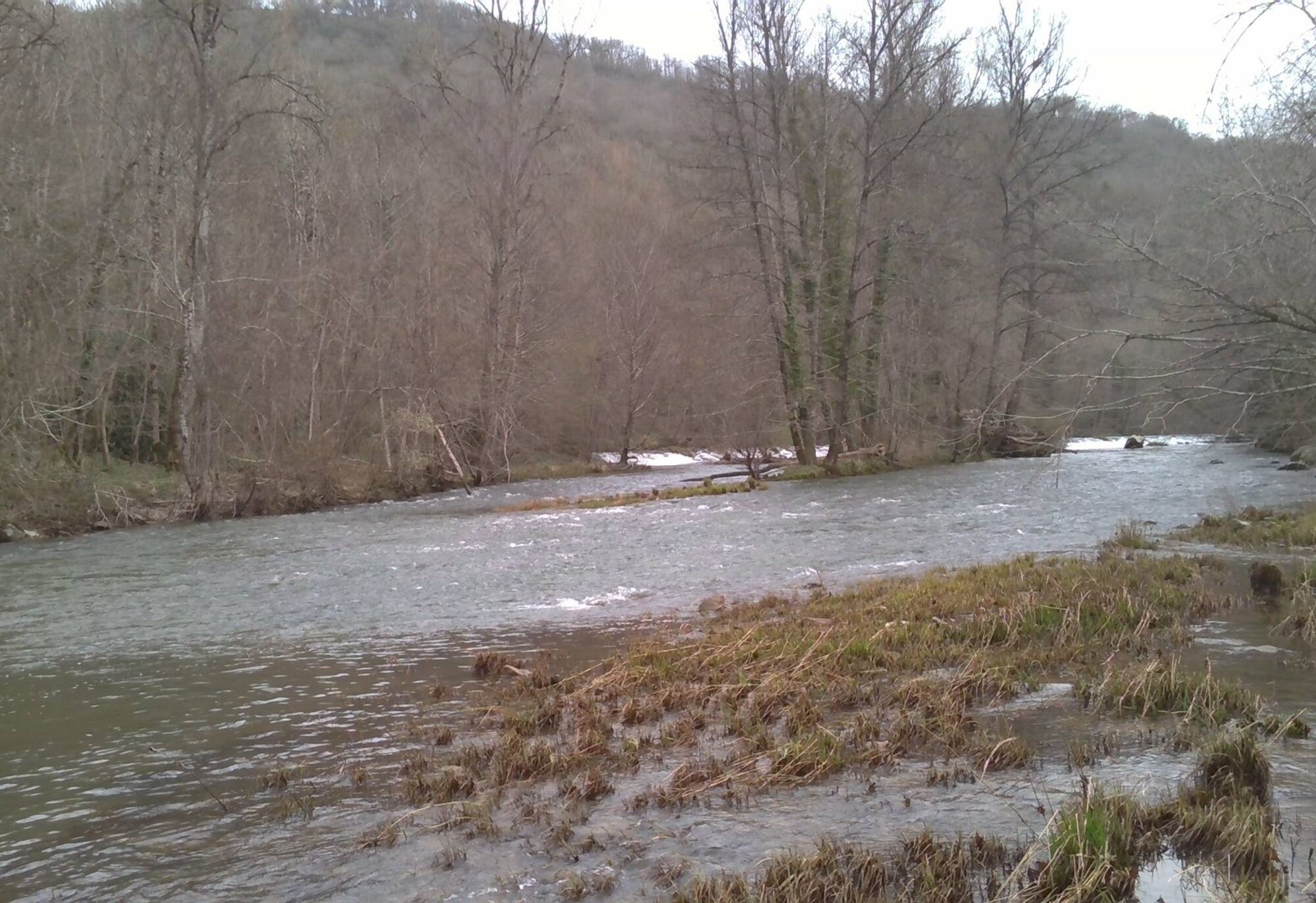
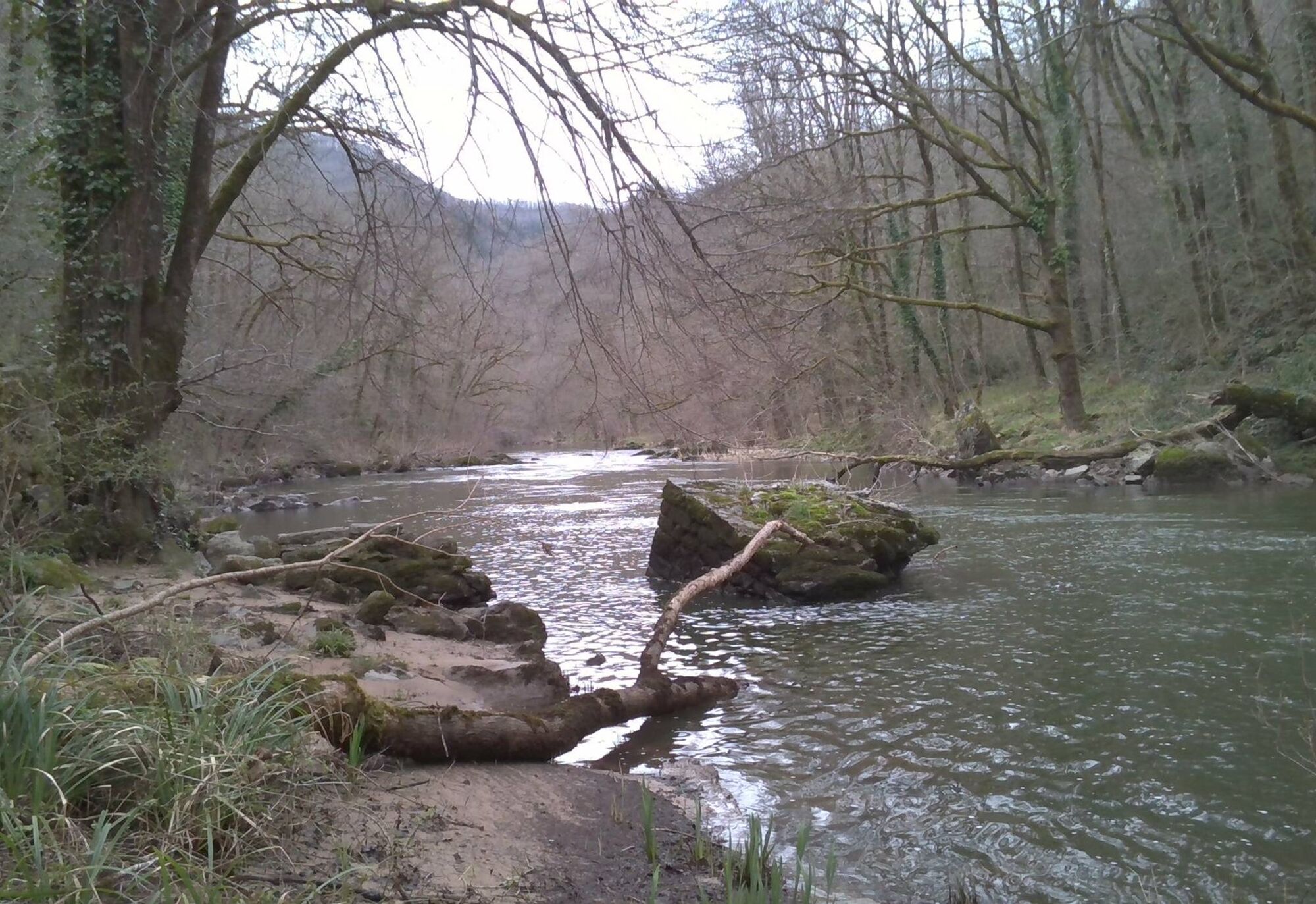
The trail winds its way through the wooded slopes down to the Viaur River, whose flow echoes throughout the descent. On the riverbank, the European otter reigns supreme over the American crayfish it feasts on, while the eagle owl watches from a rocky outcrop. Skimming along the riverbank like a long-distance runner, the largest of our dragonflies—the Emperor Dragonfly—rushes upstream with a deep, steady thud.
The steep Infournats trail is a challenge, but the many points of interest along the way provide plenty of excuses to take a break and catch your breath.
Trasa
Église Notre-Dame des Infournats
(339 m)
Miesto uctievania
0,0 km
Trasa
The Infournats Nature Trail
svetlo
Turistika
2,64
km
Église Notre-Dame des Infournats
(339 m)
Miesto uctievania
0,0 km


Informácie o trase
Trasa
At the sign, follow the direction for “Sentier des Infournats,” head down to the left toward the chapel, come out onto the road, continue straight ahead, then turn right toward the grassy path, and follow the retaining wall toward the conifer grove. Go around the pond (the path narrows as it enters the spruce grove). Continue along the route between the old terraces. Head down the right bank along the valley floor and follow the trail markers (wooden steps). Go around the ruins of an old dwelling, cross the wooden footbridges, and continue along the terraces.
At the intersection, turn left onto the forest trail toward the Devil’s Bridge. At the fork, take the path to the right, then follow the wooden steps. Descend to the Devil’s Bridge. Follow the left bank of the Viaur upstream for 700 m. At the river’s floodplains, leave the riverbanks and take the logging trail; continue along the route through the black locust trees, climb above the dam, and follow the riverbank. At the intersection, make a hairpin turn and head back up the main trail.
1. At the trail junction, leave the logging trails and take the mule trail that leads up toward the chapel. The route winds through the remains of terraced fields to rejoin the starting route: turn left toward the hamlet, then onto the road, and head up toward the chapel.
Ďalšie informácie a tipy
Ďalšie informácie
>>>> RECOMMENDATIONS Not suitable for people with limited mobility. Steep trail with some accessible sections. Steep inclines—sturdy shoes required!
Spring and early summer are the most sensitive times for nature; help preserve the peace and quiet of the wildlife by behaving respectfully and staying out of the way!
Stay on the marked trails.
Capture the flowers with your camera!
Spring and early summer are the most sensitive times for nature; help preserve the peace and quiet of the wildlife by behaving respectfully and staying out of the way!
Stay on the marked trails.
Capture the flowers with your camera!
Zatiaľ žiadne recenzie
Obľúbené výlety v okolí
-
Le sentier des Infournats
svetloTuristika 2,65 km -
Tour du Tarn à cheval : Narthoux / Jouqueviel
ťažkéJazda na koni 26,3 km -
Tour du Tarn à cheval : Jouqueviel / Sainte-Gemme
ťažkéJazda na koni 25,0 km -
GR® de Pays des Gorges du Viaur
ťažkéTuristika 64,8 km -
La Borie Blanche
svetloTuristika 6,02 km -
The Zère valley
strednáTuristika 15,4 km -
In the Footsteps of Jean Jaurès
svetloTuristika 6,67 km -
MTB route no.31 Larroque
svetloMountainbike 18,5 km -
Le sentier des Crêtes
ťažkéTuristika 10,4 km -
Sentier de liaison du Cérou au Viaur
ťažkéTuristika 14,0 km
Turistika a stopovanie

Viac ako 550.000 návrhov výletov, podrobné mapy a intuitívny plánovač trás robia z aplikácie povinnú výbavu pre všetkých nadšencov prírody.

Nenechajte si ujsť ponuky a inšpiráciu na ďalšiu dovolenku
Prihlásiť sa k odberu noviniek
Chyba
Vyskytla sa chyba. Prosím, skúste to znova.
Ďakujeme za vašu registráciu
Vaša e-mailová adresa bol pridaný do poštového zoznamu.
Zájazdy po celej Európe
Rakúsko
Švajčiarsko
Nemecko
Taliansko
Slovinsko
Francúzsko
Holandsko
Belgicko
Poľsko
Lichtenštajnsko
Česko
Slovensko
španielsko
Hrvaška
Bosna a Hercegovina
Luxembursko
Andorra
Portugalsko
Island
Spojené kráľovstvo
Írsko
Grécko
Albánsko
Severné Macedónsko
Malta
Nórsko
Čierna Hora
Moldavsko
Kosovo
Maďarsko
San Maríno
Rumunsko
Estónsko
Lotyšsko
Bielorusko
Cyprus
Litva
Srbsko
Bulharsko
Monako
Dánsko
Švédsko
Fínsko


