
Lauretié and Ouradou Trail
stredná
Získajte túto prehliadku v mobilnom telefóne
Lauretié and Ouradou Trail
stredná
Turistika
11,47
km
Naskenujte kód QR a spustite navigáciu v aplikácii bergfex


Turistika a stopovanie



Lauretié and Ouradou Trail
stredná
Vzdialenosť
11,5
km
Trvanie
03:16
h
Ascent
243
hm
Hladina mora
289 -
523
m

Naviguj sa počas prehliadky v aplikácii
Nainštalujte si aplikáciu zadarmo a sledujte trasu vďaka GPS navigácii a sledovaniu polohy.
Využite službu „ bergfex “ už teraz v aplikácii
Naskenuj QR kód pomocou fotoaparátu
Ak máte aplikáciu nainštalovanú, obsah sa otvorí priamo. Ak aplikáciu ešte nemáte, budete presmerovaní na stránku, kde si ju môžete bezplatne stiahnuť.
Stiahnutie skladby
Lauretié and Ouradou Trail
stredná
Turistika
11,47
km
The ruins of its castle stand as a testament to feudal life, having bravely withstood the ravages of time and the assaults during the English Wars and the Wars of Religion.
During World War II, the Viaur...
Opis
The ruins of its castle stand as a testament to feudal life, having bravely withstood the ravages of time and the assaults during the English Wars and the Wars of Religion.
During World War II, the Viaur Valley became a center of the Resistance. On August 6, 1944, the Nazi attack on the village—which was partially looted and burned—claimed 29 lives, including both members of the Resistance and civilians.
During World War II, the Viaur Valley became a center of the Resistance. On August 6, 1944, the Nazi attack on the village—which was partially looted and burned—claimed 29 lives, including both members of the Resistance and civilians.
Trasa
Église Saint-Martial
(492 m)
Miesto uctievania
0,0 km
Jouqueviel
(495 m)
Dedina
0,0 km
Le Tel
(491 m)
Zúčtovanie
0,1 km
Église Notre-Dame des Infournats
(339 m)
Miesto uctievania
7,1 km
Le Tel
(491 m)
Zúčtovanie
11,3 km
Église Saint-Martial
(492 m)
Miesto uctievania
11,4 km
Trasa
Lauretié and Ouradou Trail
stredná
Turistika
11,47
km
Église Saint-Martial
(492 m)
Miesto uctievania
0,0 km
Jouqueviel
(495 m)
Dedina
0,0 km
Le Tel
(491 m)
Zúčtovanie
0,1 km
Église Notre-Dame des Infournats
(339 m)
Miesto uctievania
7,1 km
Le Tel
(491 m)
Zúčtovanie
11,3 km
Jouqueviel
(495 m)
Dedina
11,3 km
Église Saint-Martial
(492 m)
Miesto uctievania
11,4 km

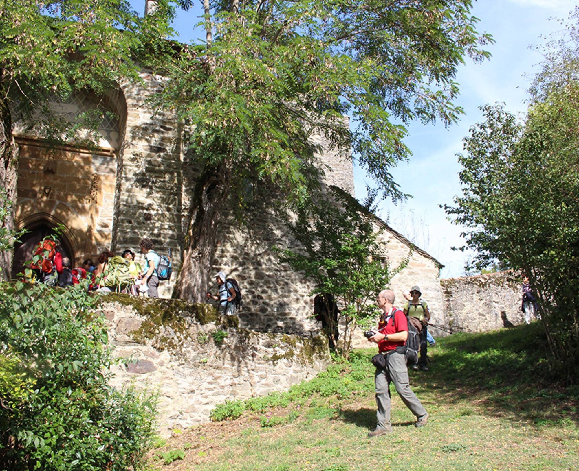

Informácie o trase
Trasa
The hike starts at the Tel. Park in front of City Hall. Walk past the church on the left, and at the intersection, turn right onto the road leading down to La Garouffié.
1. At the first intersection, ignore the Jouqueviel trail on the right and follow the paved road that branches off to the left. 250 m further on, turn left onto the path, which is flat at first but then descends through the forest toward Old Jouqueviel. After the village (ruins), take the path on the left. 2. At the fork, continue left (this path is shared with the GR de Pays des Gorges du Viaur, marked with yellow and red signs). Continue straight ahead for 5 km until you reach the Infournats Chapel. 3. Take the path directly across that climbs toward the woods. Then, at the corner of the ruin, head up to the left and continue on the path through the woods that climbs up to the Route de l’Ouradou. 4. Then, in this hamlet, turn right and take the path that runs alongside a dry-stone wall and leads to the locality known as Lauretié. Cross this locality and reach the paved road. After a few hundred meters, at the intersection, turn right. 5. Turn left toward La Plaine. Continue straight ahead, passing the Route des Finials on your left, and head toward the village of Le Tel.
1. At the first intersection, ignore the Jouqueviel trail on the right and follow the paved road that branches off to the left. 250 m further on, turn left onto the path, which is flat at first but then descends through the forest toward Old Jouqueviel. After the village (ruins), take the path on the left. 2. At the fork, continue left (this path is shared with the GR de Pays des Gorges du Viaur, marked with yellow and red signs). Continue straight ahead for 5 km until you reach the Infournats Chapel. 3. Take the path directly across that climbs toward the woods. Then, at the corner of the ruin, head up to the left and continue on the path through the woods that climbs up to the Route de l’Ouradou. 4. Then, in this hamlet, turn right and take the path that runs alongside a dry-stone wall and leads to the locality known as Lauretié. Cross this locality and reach the paved road. After a few hundred meters, at the intersection, turn right. 5. Turn left toward La Plaine. Continue straight ahead, passing the Route des Finials on your left, and head toward the village of Le Tel.
Ďalšie informácie a tipy
Ďalšie informácie
>>>> ACCESSIBILITY
Accessible for: Joëlette
Accessibility level: Experienced
Surface: The trail is located away from the river, on a forest path. A large portion is shaded.
Slope: There are no uphill sections on this trail.
Facilities: Trail accessible by Joëlette
Trail accessible to children ages 10 and up and in hiking strollers.
Zatiaľ žiadne recenzie
Obľúbené výlety v okolí
-
Le sentier des Infournats
svetloTuristika 2,65 km -
Tour du Tarn à cheval : Narthoux / Jouqueviel
ťažkéJazda na koni 26,3 km -
Tour du Tarn à cheval : Jouqueviel / Sainte-Gemme
ťažkéJazda na koni 25,0 km -
GR® de Pays des Gorges du Viaur
ťažkéTuristika 64,8 km -
La Borie Blanche
svetloTuristika 6,02 km -
De Las Planque à Thuriès
ťažkéTuristika 16,9 km -
The Zère valley
strednáTuristika 15,4 km -
In the Footsteps of Jean Jaurès
svetloTuristika 6,67 km -
Le sentier des Crêtes
ťažkéTuristika 10,4 km -
Sentier de liaison du Cérou au Viaur
ťažkéTuristika 14,0 km
Turistika a stopovanie

Viac ako 550.000 návrhov výletov, podrobné mapy a intuitívny plánovač trás robia z aplikácie povinnú výbavu pre všetkých nadšencov prírody.

Nenechajte si ujsť ponuky a inšpiráciu na ďalšiu dovolenku
Prihlásiť sa k odberu noviniek
Chyba
Vyskytla sa chyba. Prosím, skúste to znova.
Ďakujeme za vašu registráciu
Vaša e-mailová adresa bol pridaný do poštového zoznamu.
Zájazdy po celej Európe
Rakúsko
Švajčiarsko
Nemecko
Taliansko
Slovinsko
Francúzsko
Holandsko
Belgicko
Poľsko
Lichtenštajnsko
Česko
Slovensko
španielsko
Hrvaška
Bosna a Hercegovina
Luxembursko
Andorra
Portugalsko
Island
Spojené kráľovstvo
Írsko
Grécko
Albánsko
Severné Macedónsko
Malta
Nórsko
Čierna Hora
Moldavsko
Kosovo
Maďarsko
San Maríno
Rumunsko
Estónsko
Lotyšsko
Bielorusko
Cyprus
Litva
Srbsko
Bulharsko
Monako
Dánsko
Švédsko
Fínsko


