







Betlis-Trail 493
The outdoor fitness trails in the Heidiland holiday region include over 30 uniformly signposted running routes from a total of 10 stations, making it one of the largest outdoor fitness parks in the Alpine...
The outdoor fitness trails in the Heidiland holiday region include over 30 uniformly signposted running routes from a total of 10 stations, making it one of the largest outdoor fitness parks in the Alpine region. The Betlis-Trail is one of three running routes around the Weesen station.
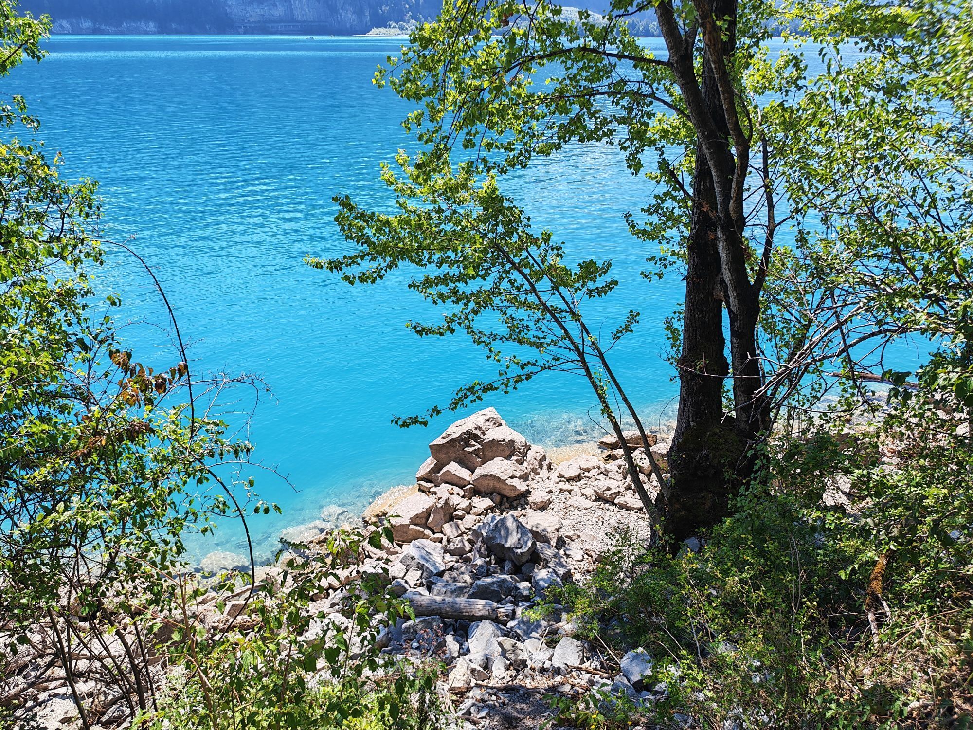
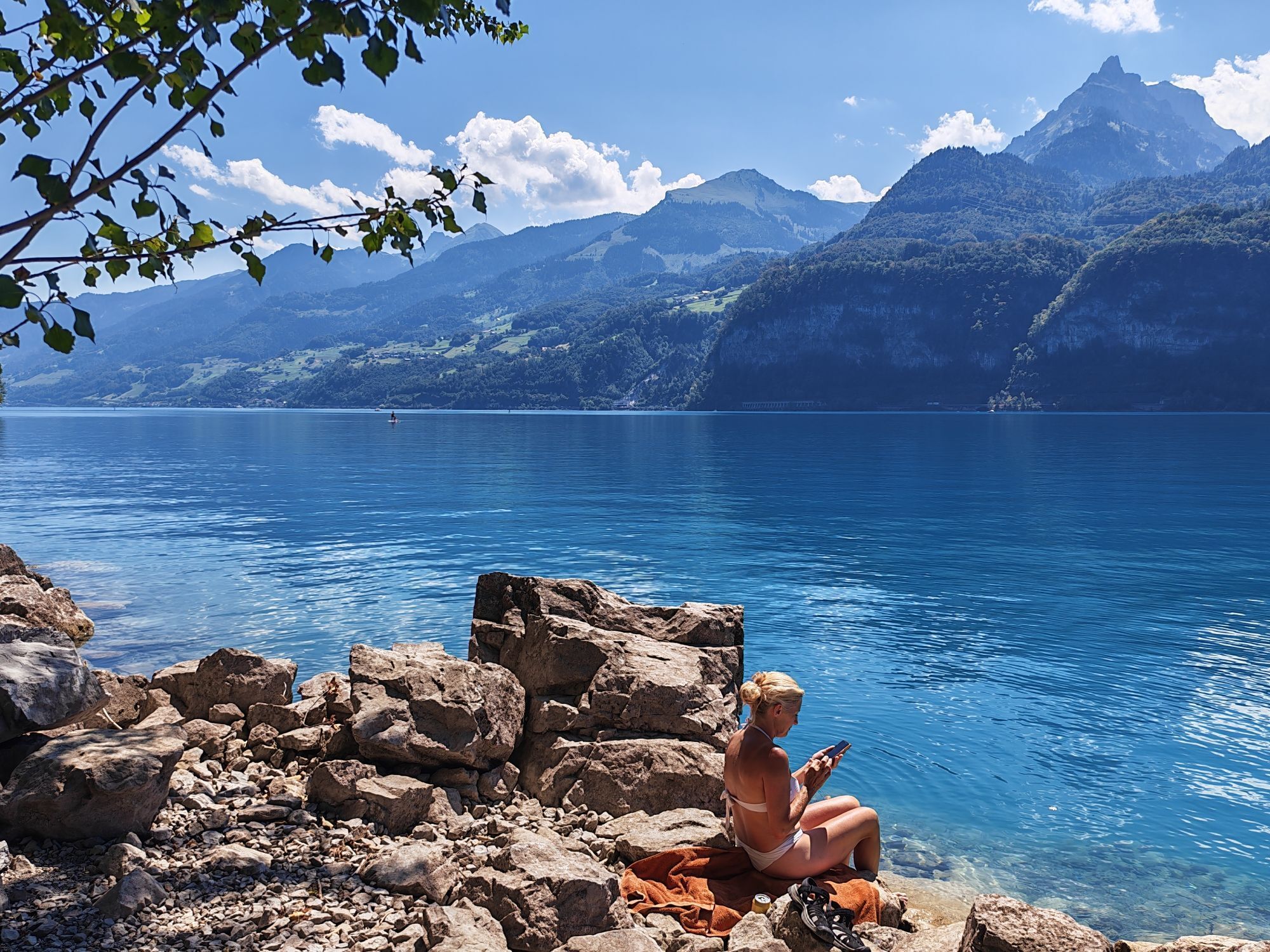
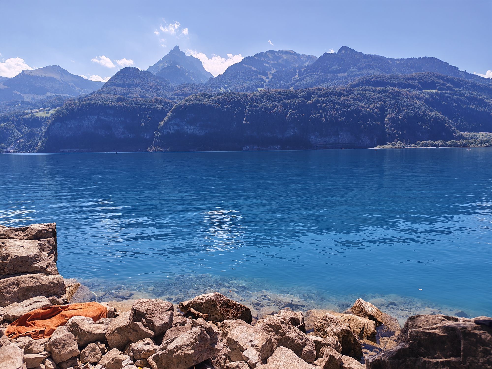
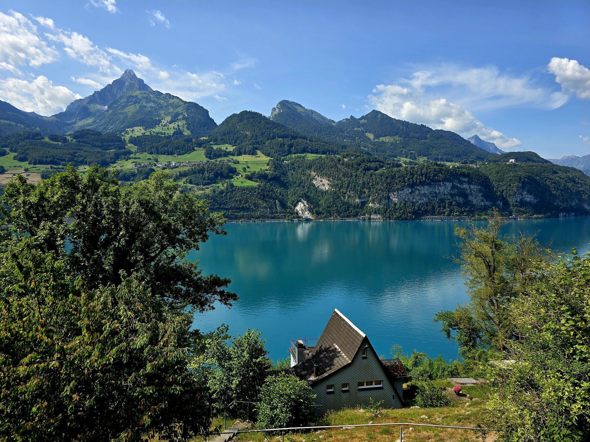
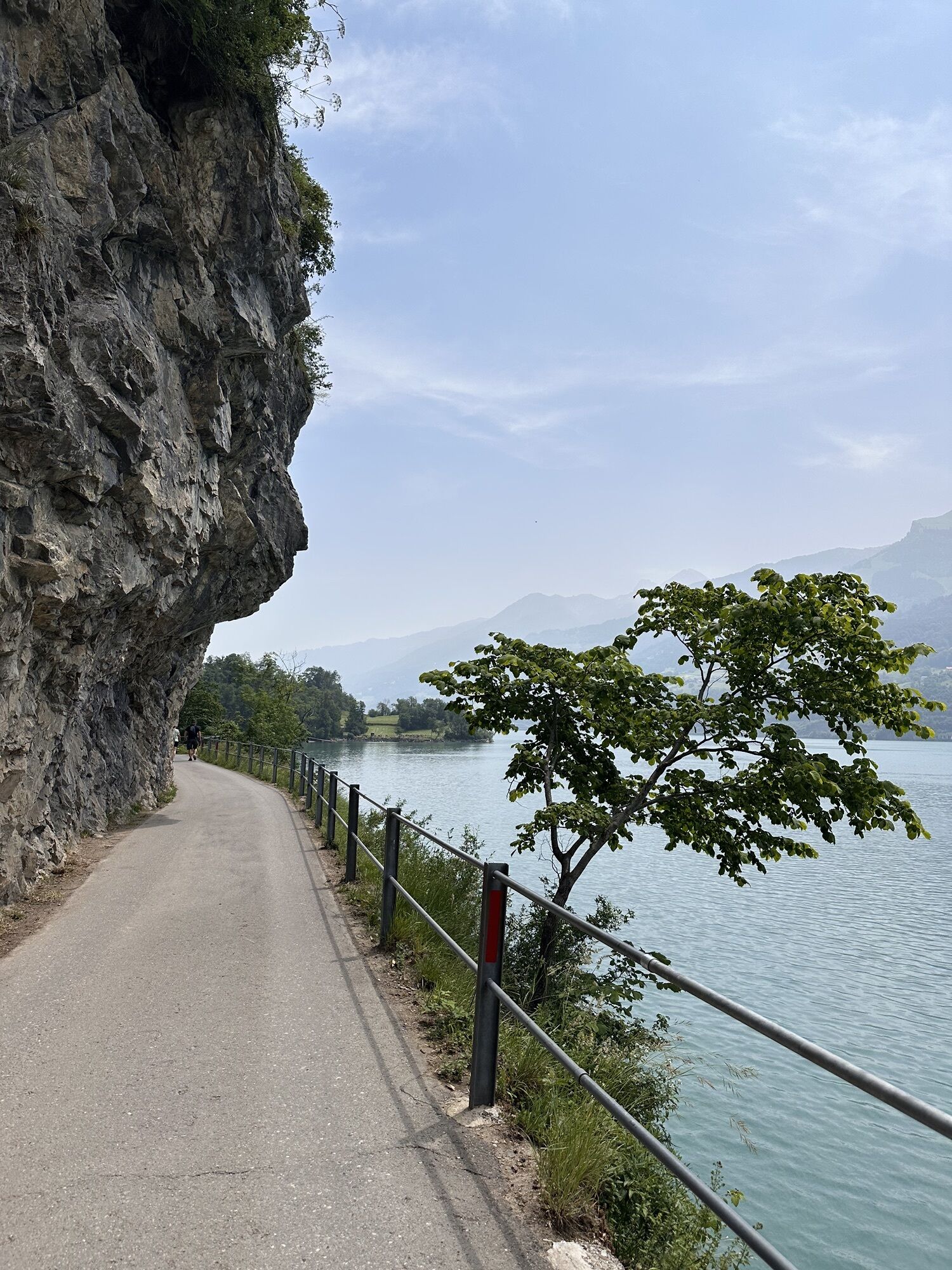
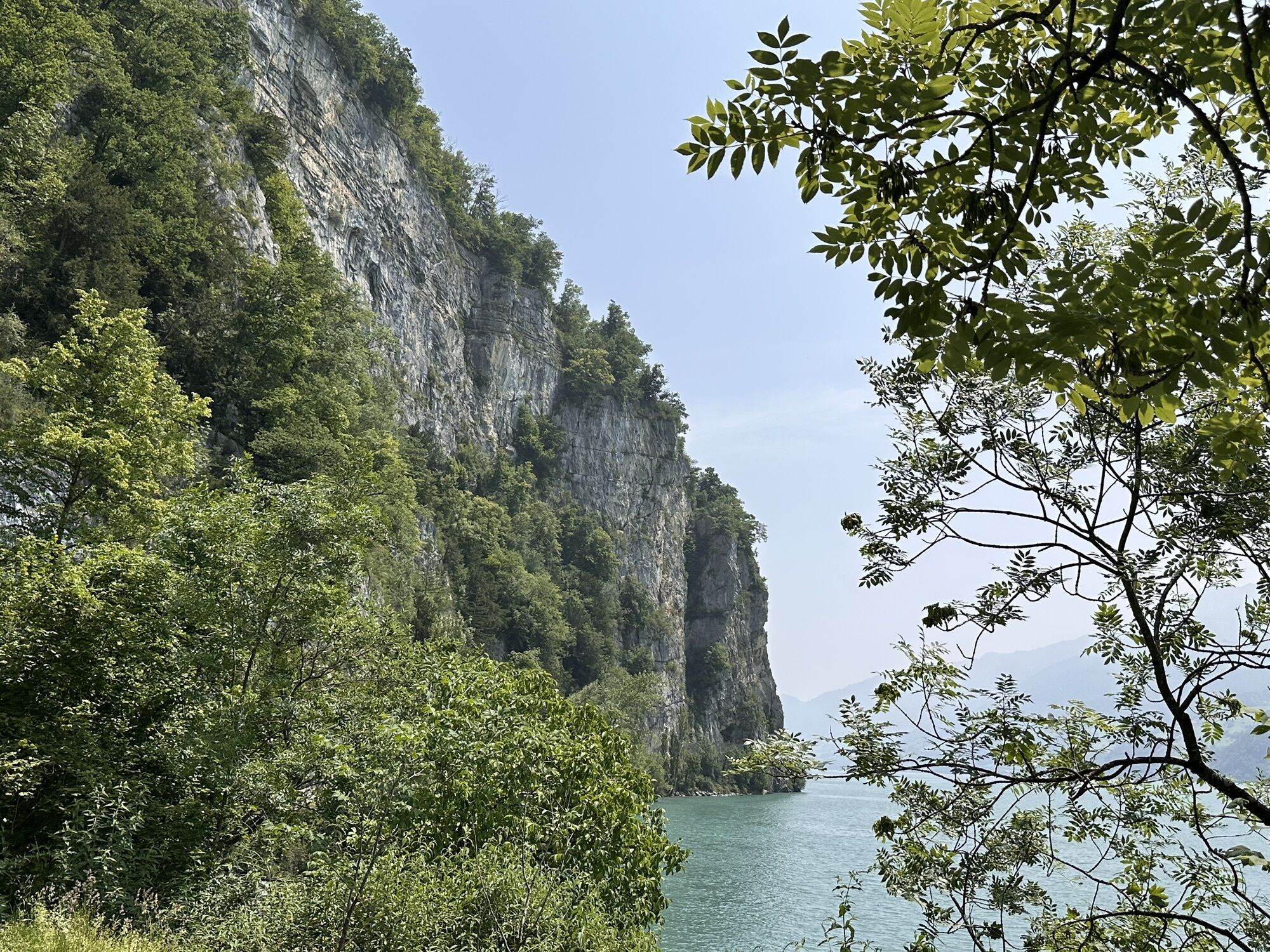
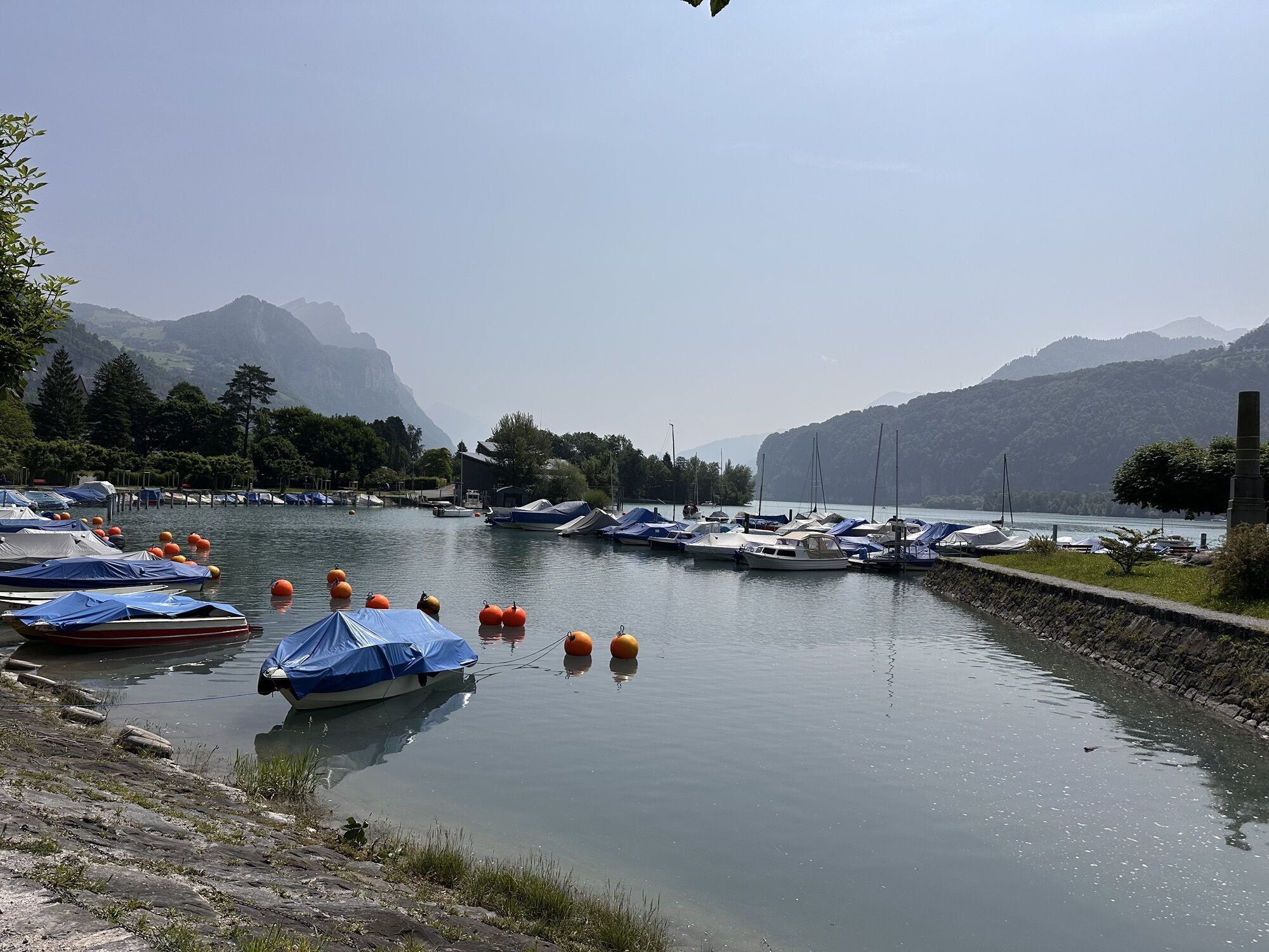
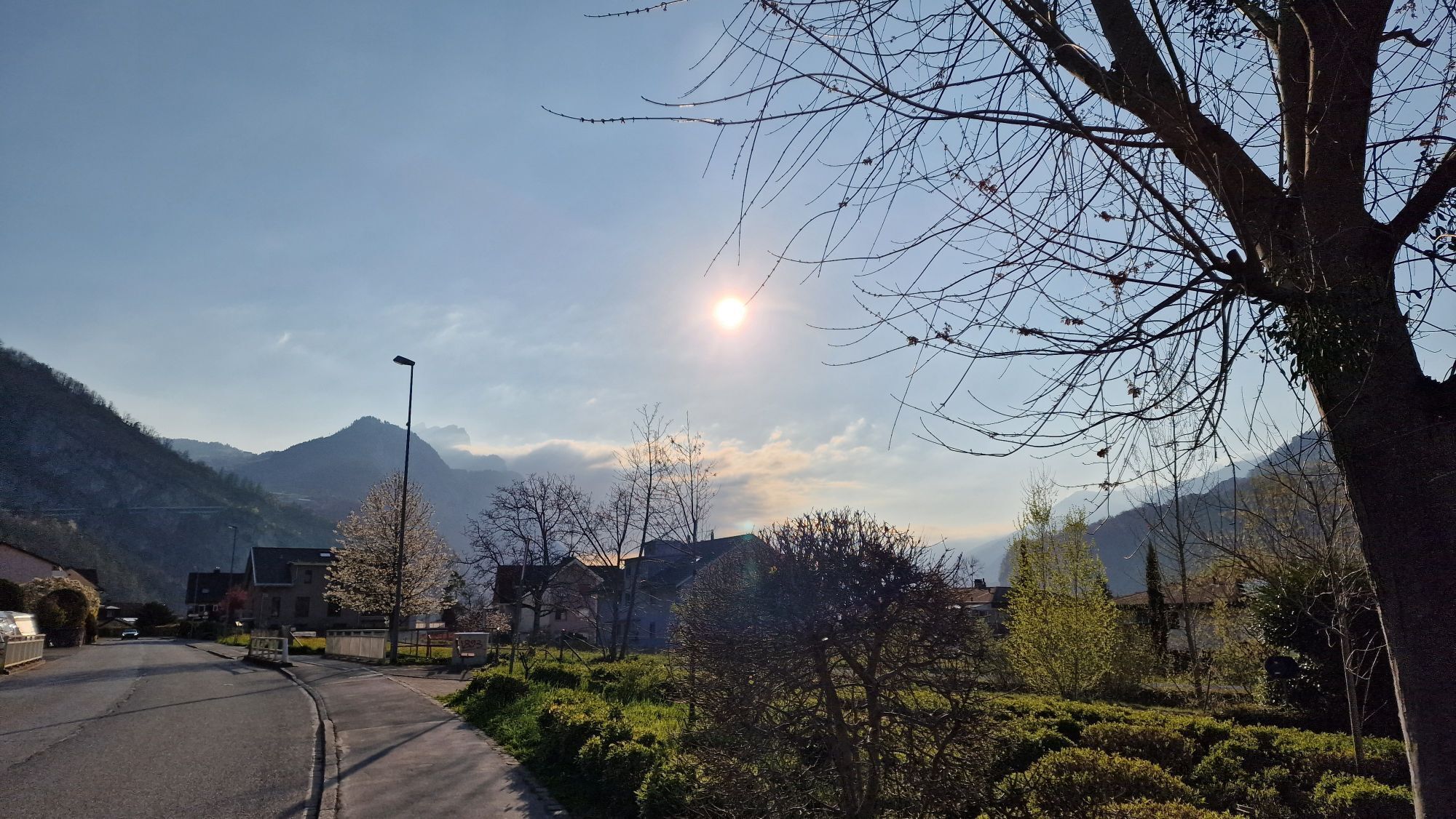
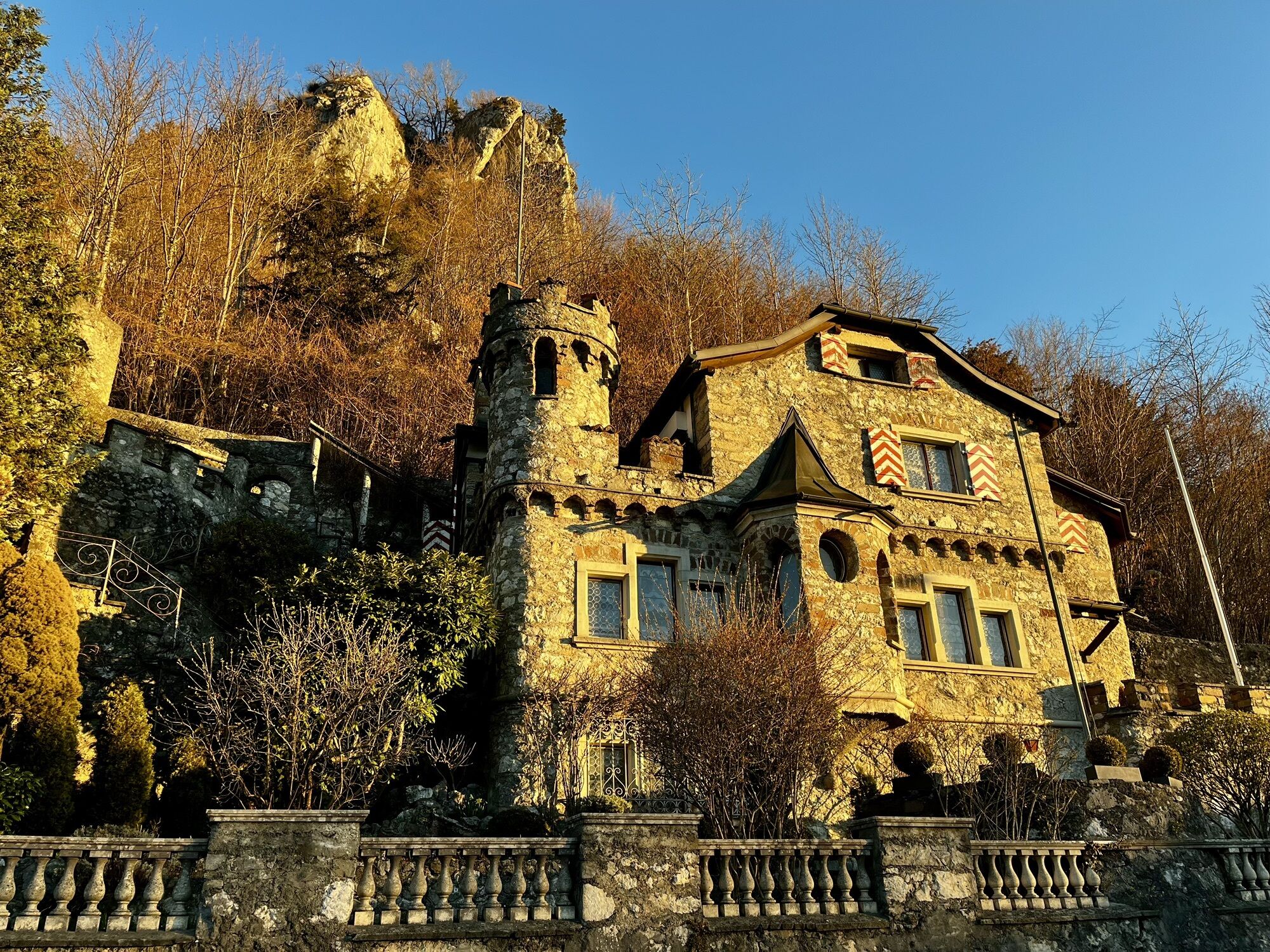
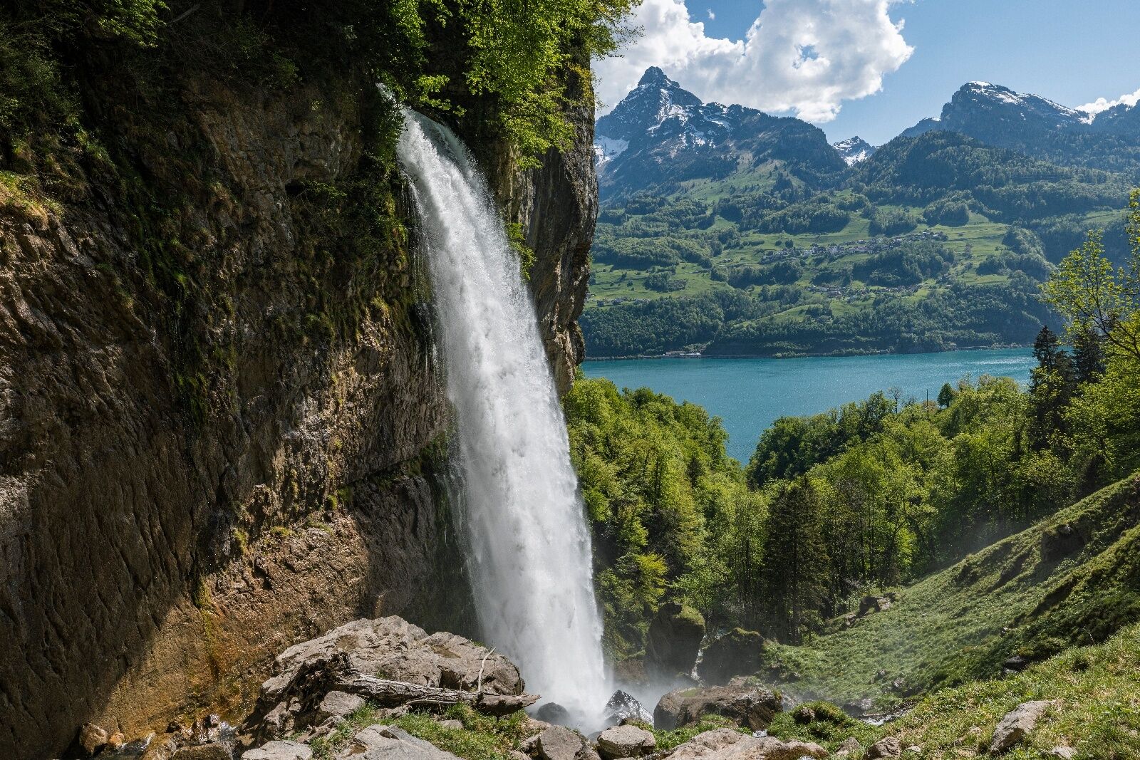
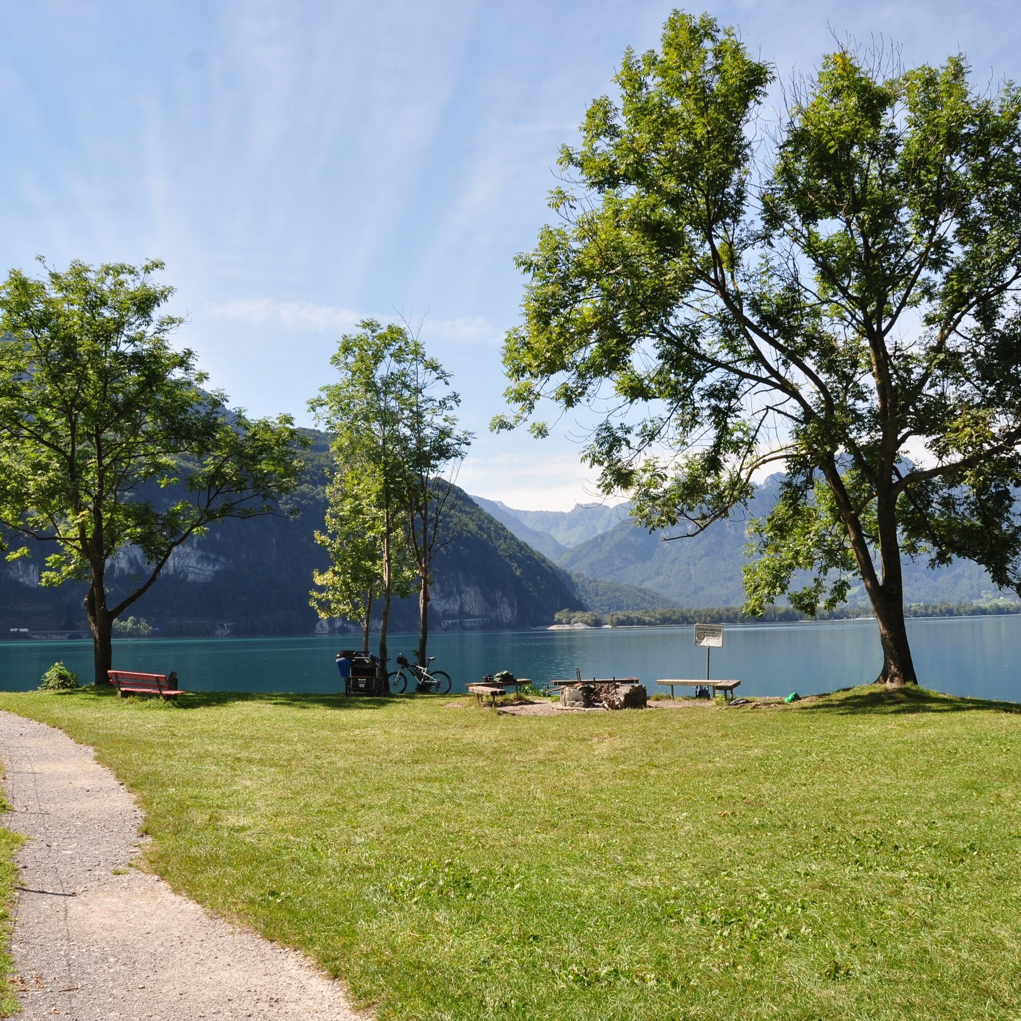
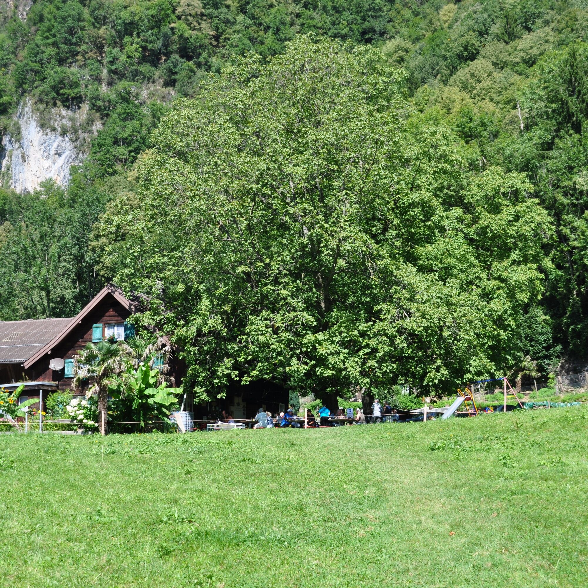
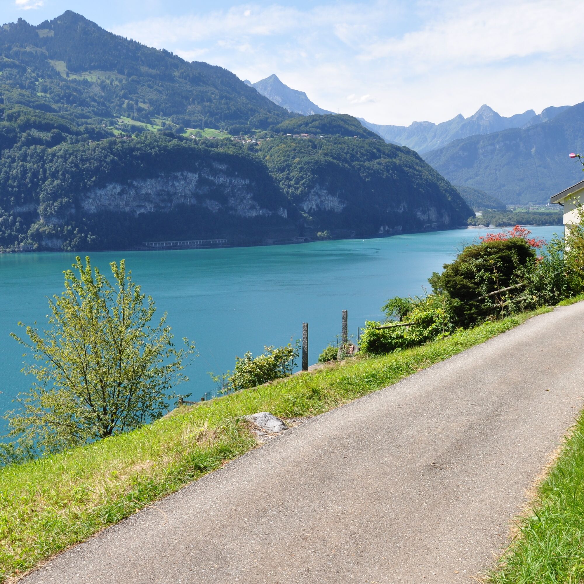
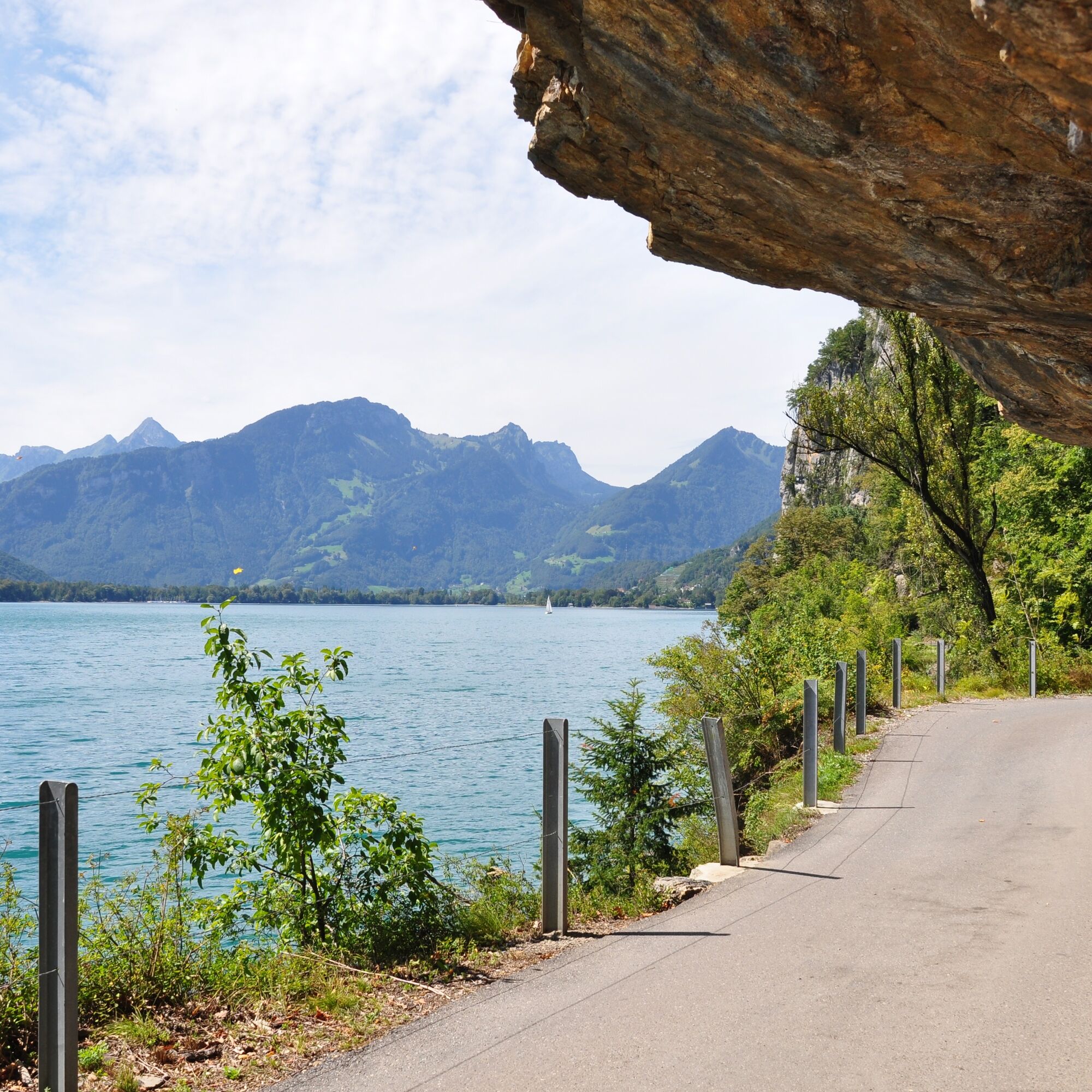
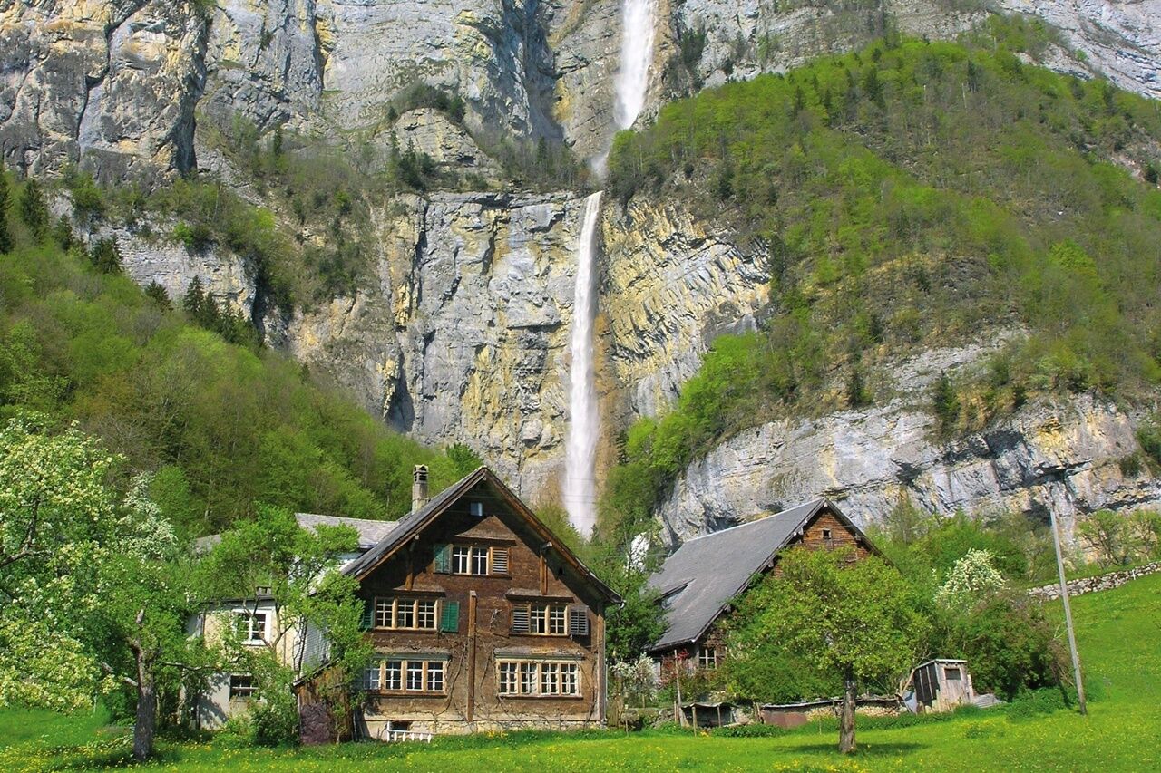
The starting point for this 10.1 km long trail is the Infopoint of the Weesen station at the ship landing (423 m above sea level). The first meters of the Betlis-Trail run along the lake. In the middle of the village at Autis (428), the running route turns onto the pavement of the main road towards Amden. At the village exit, the trail turns right onto the paved lane that leads to Betlis and always offers a magnificent view of the lake and the surrounding mountains. Particularly notable are the two spectacular tunnels carved into the rock (consider bringing reflectors). At the Strahlegg beach (425), the trail continues on a hiking path, first along the lakeshore and then up to the clearing Höfli (458). Back on a paved side road, with a wonderful view of the lake and the Flumserberge mountains, the trail continues to Vorderbetlis (531), where you can get up close to the impressive Seerenbach Falls. The path leads through a partly dense forest via Hinterbetlis back past Höfli to the lake. From here, the same route leads back to the Infopoint in Weesen.

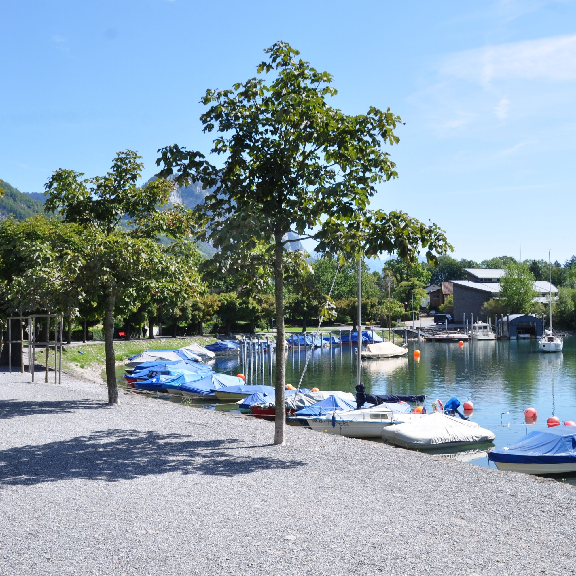
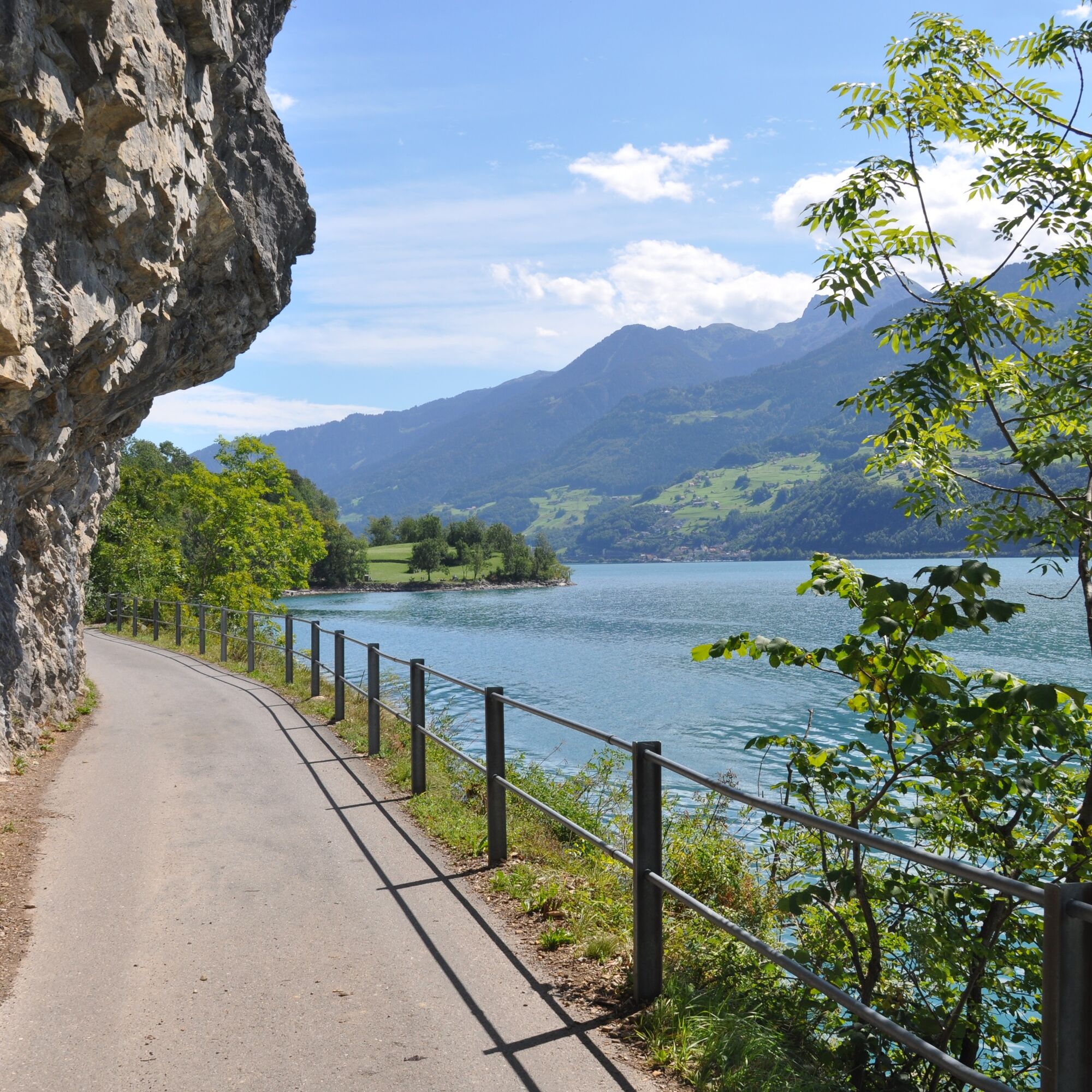
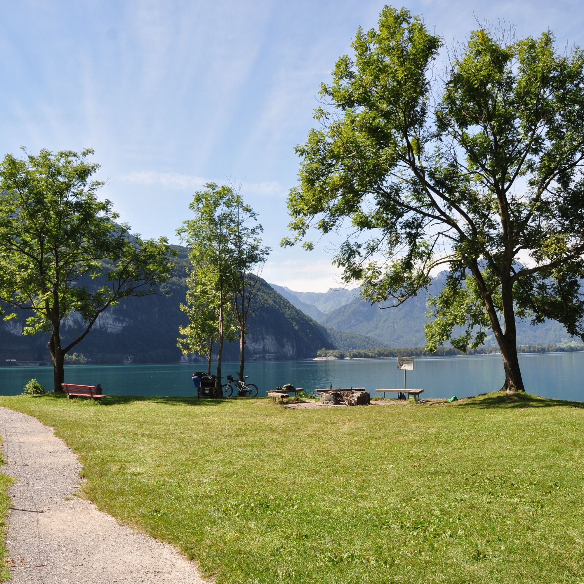

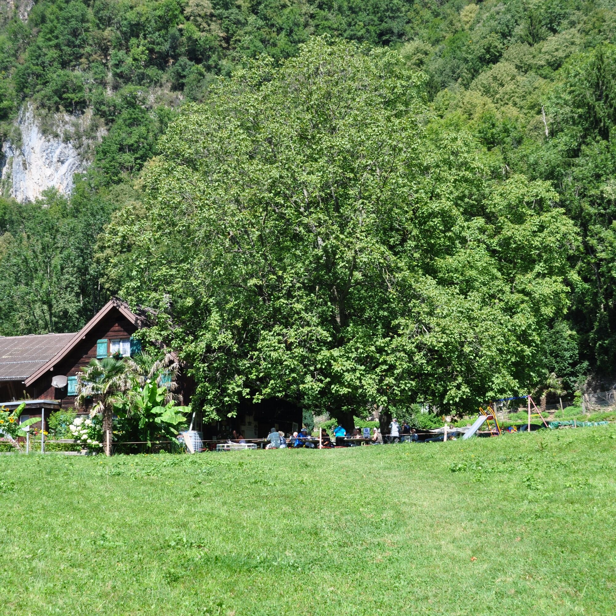


Weesen - Strahlegg Beach - Vorderbetlis - Hinterbetlis - Weesen
Áno
Normal jogging gear, comfortable and sturdy footwear.
Take the Weesen motorway exit, then follow the main road to Weesen beach promenade.
Take the train to Ziegelbrücke and then the bus to Weesen Post.
Public parking available at the beach promenade (paid).
Heidiland Tourism
Info point Flumserberg
T +41 81 720 18 18
www.heidiland.com
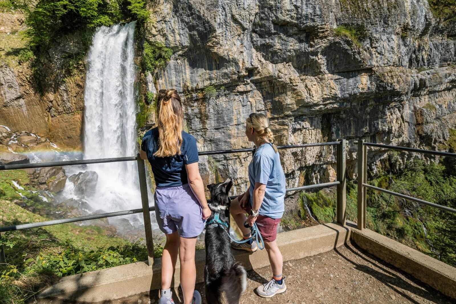
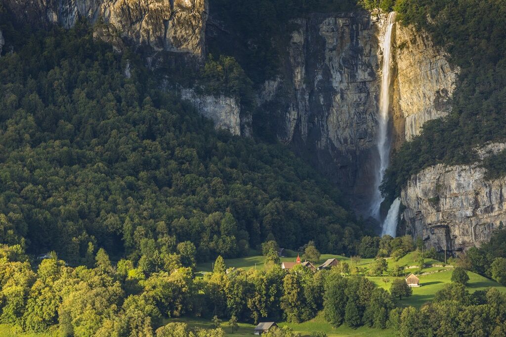
Take a short detour at Vorderbetlis to marvel up close at the Seerenbach Falls and the Rinquelle spring.

Webové kamery z prehliadky
Získajte prehľad
Vždy naživo na mieste s viac ako 9 500 webovými kamerami. bergfex Ako používateľ Pro si teraz môžete pozrieť príslušné webové kamery pre mnohé zájazdy v aplikácii zájazdy z. Môžete si tak priamo prezerať aktuálne podmienky.
Aktivity počas prehliadky


Obľúbené výlety v okolí
-
4,8
Walensee Riviera Weesen - Quinten
strednáTuristika 10,2 km -
4,7
Riviera Lake Walen Walenstadt-Quinten
strednáTuristika 10,4 km -
4,6
Weesen - Quinten - Walenstadt
ťažkéTuristika 20,6 km -
4,5
7-Peak Tour Flumserberg
ťažkéTuristika 15,0 km -
5,0
Schrina Alp and Cultural Trail
strednáTematická trasa 11,5 km -
4,5
4-Summit-Route Flumserberg
strednáTuristika 8,65 km -
4,9
Fronalpstock GL
strednáTuristika 7,84 km -
4,6
Amden - Speer (Rundkurs)
svetloTuristika 17,6 km -
4,9
Quarten - Murgseehütte - Berggasthaus Murgsee - Glarus Nord
strednáTuristika 14,7 km -
4,0
Winter hike on the Rosenboden panoramic circular route
svetloZimná turistika 2,95 km
Turistika a stopovanie


Nenechajte si ujsť ponuky a inšpiráciu na ďalšiu dovolenku
Vaša e-mailová adresa bol pridaný do poštového zoznamu.





